Sarek National Park
Sarek National Park, Sweden
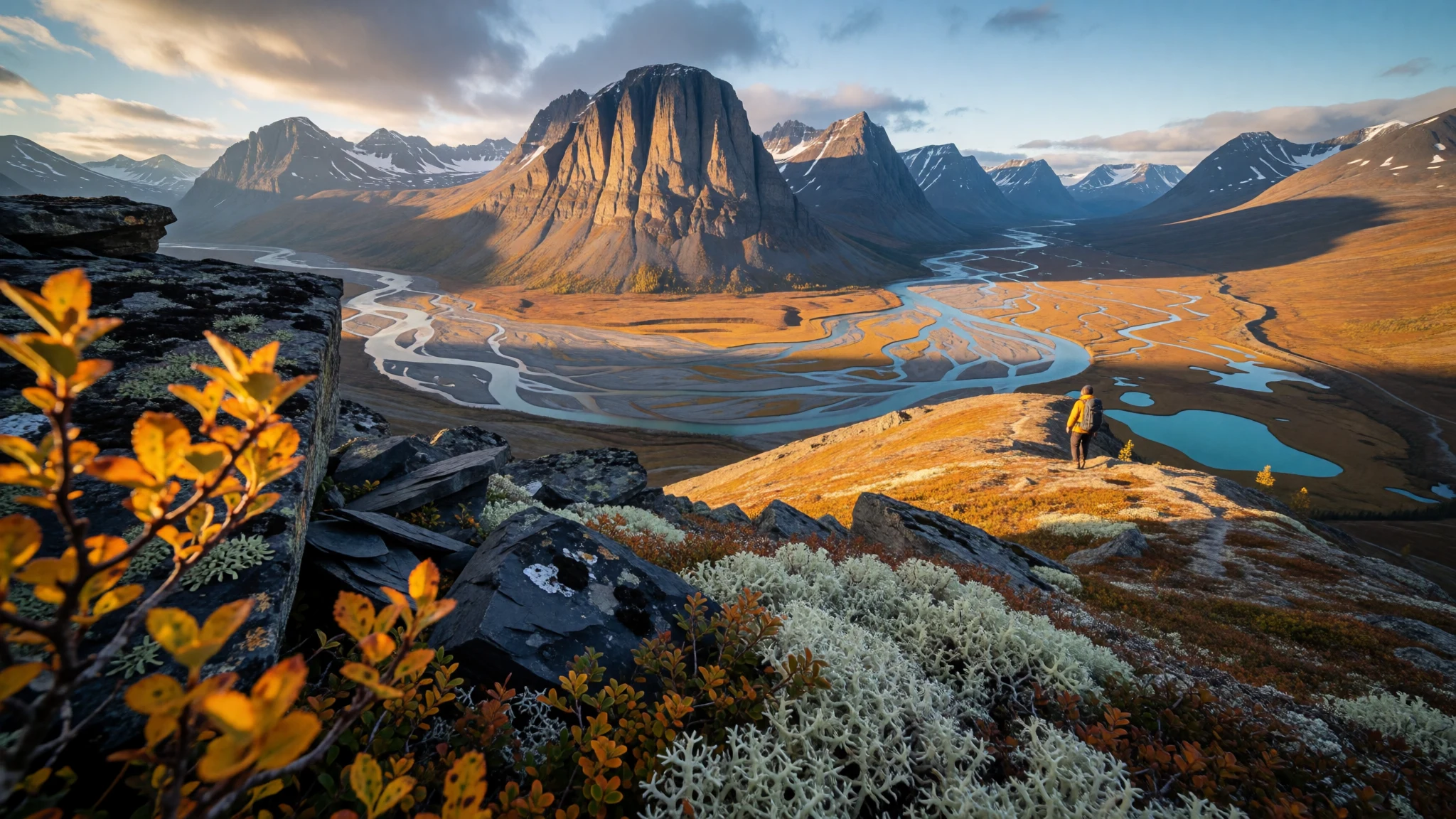
Sarek is for hikers who want real remoteness: big mountains, few trails, and weather that can change fast.
The place
Sarek National Park (Sareks nationalpark) sits in Jokkmokk Municipality in Lapland, northern Sweden, and it’s defined by the kind of landscape you can’t really “do” in a couple of photo stops. In May 1909, the proposal for establishing Sweden’s first national parks—including Sarek—was accepted, and it sits within a wider mountain district that makes sense of the scale and the long distances between valleys.
The park is roughly circular in shape, and while that sounds neat on a map, what matters on the ground is how little infrastructure exists inside it. Trails and shelters are limited, and there are only a couple of bridges once you’re far from the border routes. In practice, that means the “path” is often a mix of weather, terrain and route-finding, not signage.
Sarek is also a mountain-and-ice landscape. There are many glaciers in the park, and the peaks are a huge part of the draw—several of Sweden’s high peaks are within the boundaries. Some of the most talked-about ascents are challenging, and even people who don’t aim for summits still come for the feeling of being surrounded by high country: broad valleys, fast water, rock that stays cold, and skies that can go from clear to unsettled quickly.
Crowds are usually light compared with more accessible European parks, but that doesn’t make it easy. The combination of cold northern conditions, limited daylight in winter, and exposure to rapidly shifting weather is what separates Sarek from a normal hike—prepare as if the mountains are in charge.
Its story
Sarek’s story starts long before national parks existed, with the Sami (Saami) people moving through these mountains with seasonal rhythm. When the inland seas retreated, people arrived in the far north, living as hunter-gatherers at first and then developing ways of life centred on reindeer. For communities who spent months in the landscape, the mountains weren’t just “scenery”; they were places with meaning.
Some sites functioned like points of worship and ceremony—grounded in local geography, such as the idea of specific mountains and “sacred spots” in particular valleys. Offerings were made at places used for gatherings, and those ceremonies could draw Sami from across the region. Even when legends differ from place to place, the pattern is consistent: the mountains were treated as more than a backdrop.
Over time, Sami life evolved from hunting to herding. That shift changed travel too. Instead of moving randomly, there was transhumance: regular movement between fixed summer and winter pastures. In this larger seasonal system, Sarek often acted as a corridor—used for passage and grazing rather than constant settlement.
That history still matters for modern visitors because it explains why so much of the experience in Sarek is about respecting a landscape that’s actively used and deeply rooted. With few marked trails, there’s a real temptation to treat routes like a playground. In Sarek, the better mindset is closer to “travelling through a living region”: watch the weather, travel quietly, and don’t assume the mountain will make room for human plans.
What to see
- Rapadalen valley — Rapadalen area (eastern Sarek)
Rapadalen is a classic way to meet Sarek’s terrain without pretending it’s easy. Expect wide, rugged valley views and a sense of distance—weather can roll in quickly, so the light you see on the walk can be different from the light you return with. Great for landscape focus, not just “getting from A to B”.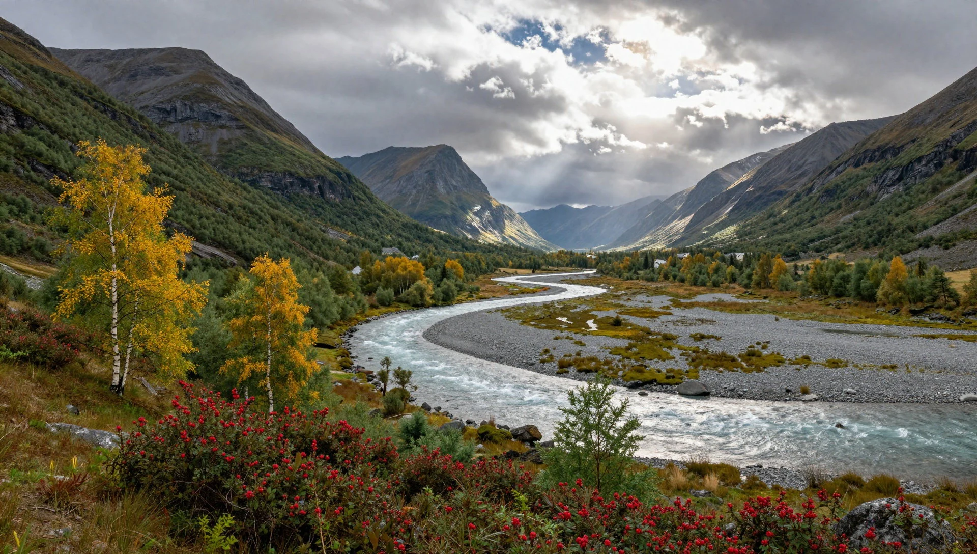
- Pierikpakte — Sarek high country
Pierikpakte is the sort of mountain feature that makes it obvious why mountaineers talk about Sarek. Even from a distance, the slopes look steep and serious, and the surrounding rock and glacier-fed drainage underline how physical the environment is. It’s a good target for route planning and viewpoint hunts.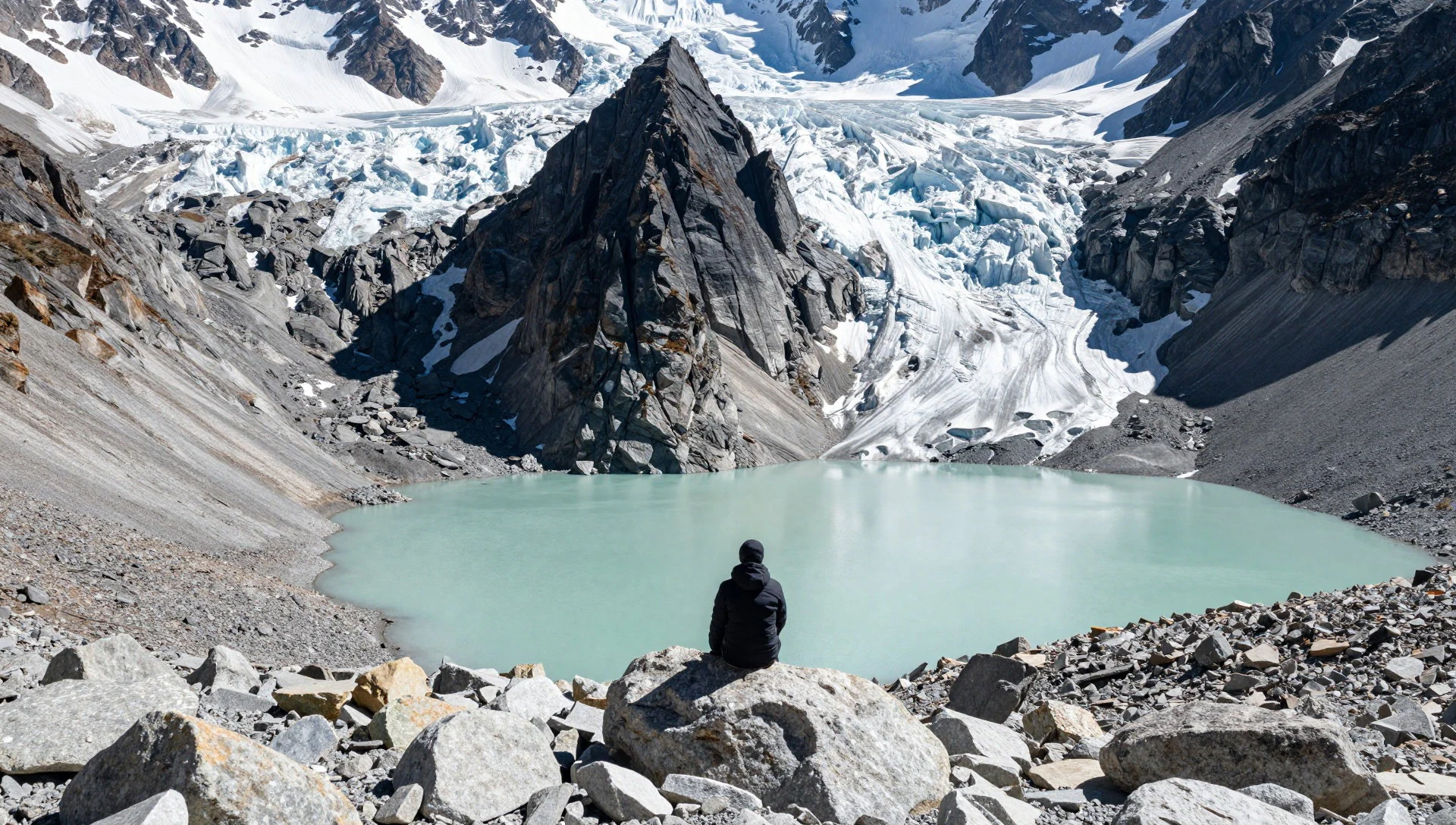
- Piellorieppe and Rapaselet — Piellorieppe–Rapaselet area
Piellorieppe to Rapaselet is about moving through dramatic terrain where water and rock shape what’s possible. In clearer weather the area reads as a chain of basins and outflows; in rough weather it becomes about choosing safer lines and travelling carefully. It’s often where people feel the ‘Sarek pace’ most.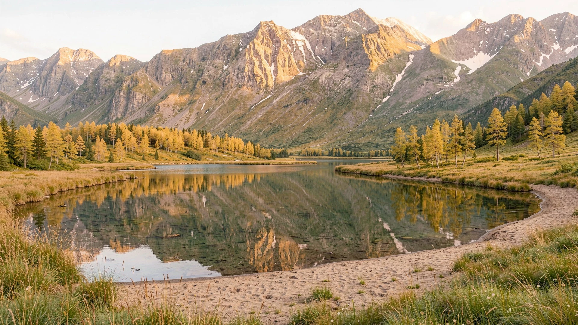
- Massif de Sarek (southern viewpoints) — Southern Sarek viewpoints
The Massif de Sarek view gives context for why the park is talked about in terms of a mountain district, not just one protected zone. From the right vantage you can spot the rugged massing and the overall geometry of peaks and valleys. It’s ideal for understanding routes before committing on foot.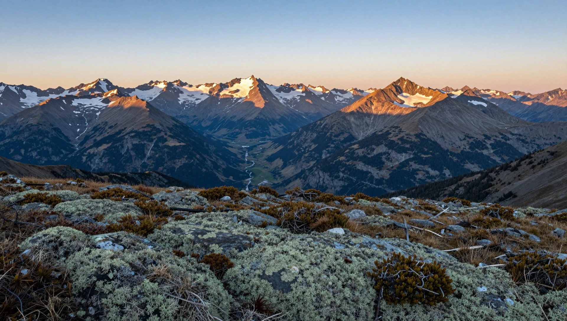
- Mikkaglaciären (upper glacier area) — Mikkaglaciären area
The glacier country around Mikkaglaciären is where Sarek stops feeling like “hiking” and starts feeling like travel through a colder system. Meltwater influences streams and the timing of crossings, especially in warmer weather. If conditions are changeable, this is the area that makes safety margins feel real.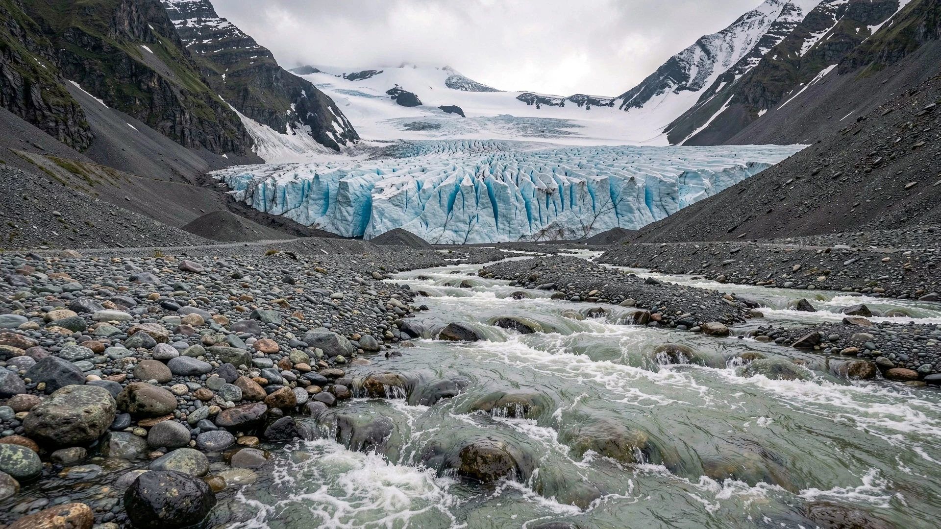
- Laitaure delta (Rapaätno into Laitaure) — Laitaure delta area
The delta where the Rapaätno meets Laitaure shows how water gathers and moves across the landscape. It’s a visually striking spot, but it’s also a reminder that “easy walking near water” isn’t always easy—currents and water levels can shift, and mornings can be calmer for travel.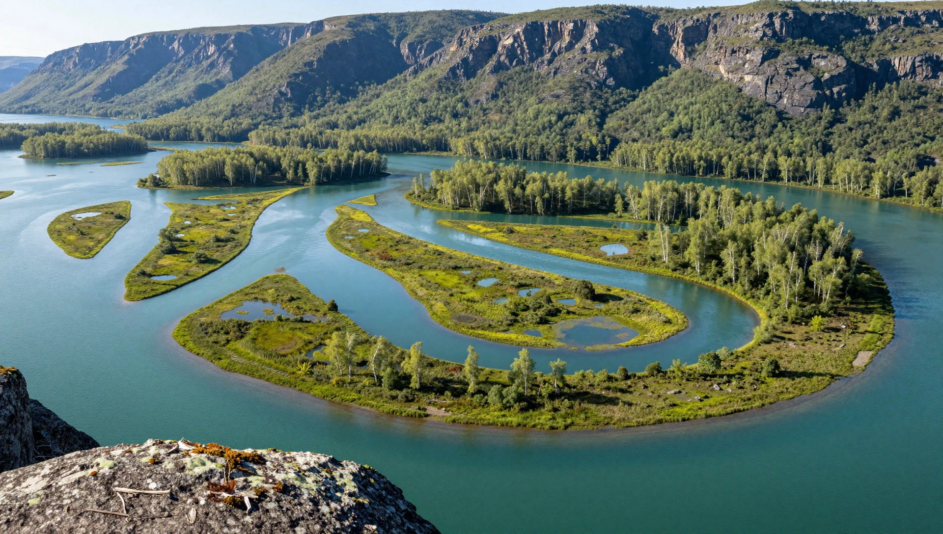
Culture
Sarek National Park sits in a region with a Sami presence and a long history of seasonal movement. For many visitors, the cultural lesson is not about museums or fixed performances—it’s about how you behave in a landscape that people have used for centuries. Sami tradition includes ceremonies connected to particular places and routes, and it also includes practical seasonal grazing built around reindeer and changing pasture.
Because there are no marked trails in the way people expect from many European parks, travel etiquette in Sarek isn’t only “be polite”; it’s also “be considerate”. Choose your routes with respect for ground conditions, keep noise down in valleys, and remember that your footsteps land on land that may still be part of lived movement. If a place feels like it has meaning—whether through local naming, natural features, or lingering tracks—treat it as more than a viewpoint.
Modern safety guidance matters too: weather can shift quickly, shelters are limited inside the park, and river crossings can be dangerous. Being culturally respectful in Sarek therefore also looks like being prepared, not improvising recklessly, and leaving the landscape as undisturbed as possible for the next travellers.
What to wear
In Sarek, clothing decisions are mainly about weather and terrain, not style. Traditional Sami clothing exists in northern Sweden, often with layered garments and textiles made for warmth and movement in cold conditions, and it’s usually worn in specific cultural contexts rather than as daily outdoor gear.
What people wear now on and around Sarek is practical and layered: moisture-wicking base layers, insulating mid-layers, and a wind- and waterproof outer shell. Expect changing conditions even within a day—Lapland weather can be changeable, and high ground can feel colder than lower valleys. Footwear needs grip for rocky ground and wet patches, and it’s wise to carry items for both cool mornings and warmer afternoons during the trekking season.
For visitors, the key is to dress for quick weather swings and for stream-side travel: sturdy waterproof boots or approach shoes, warm hat and gloves, and a reliable rain layer. If joining guided hiking, pack in the same spirit—reliable layers and traction rather than lightweight “just for fine weather” kit. When water is involved, dry socks become a real comfort, not an afterthought.
What to eat
- Kalix löjrom — Regional food shops and northern Sweden markets
Kalix löjrom is roe from whitefish, a northern Swedish speciality often linked with the idea of Lapland’s seasonal flavours. Find it via regional food shops and stalls serving local products around northern Sweden, especially where you can browse deli-style selections.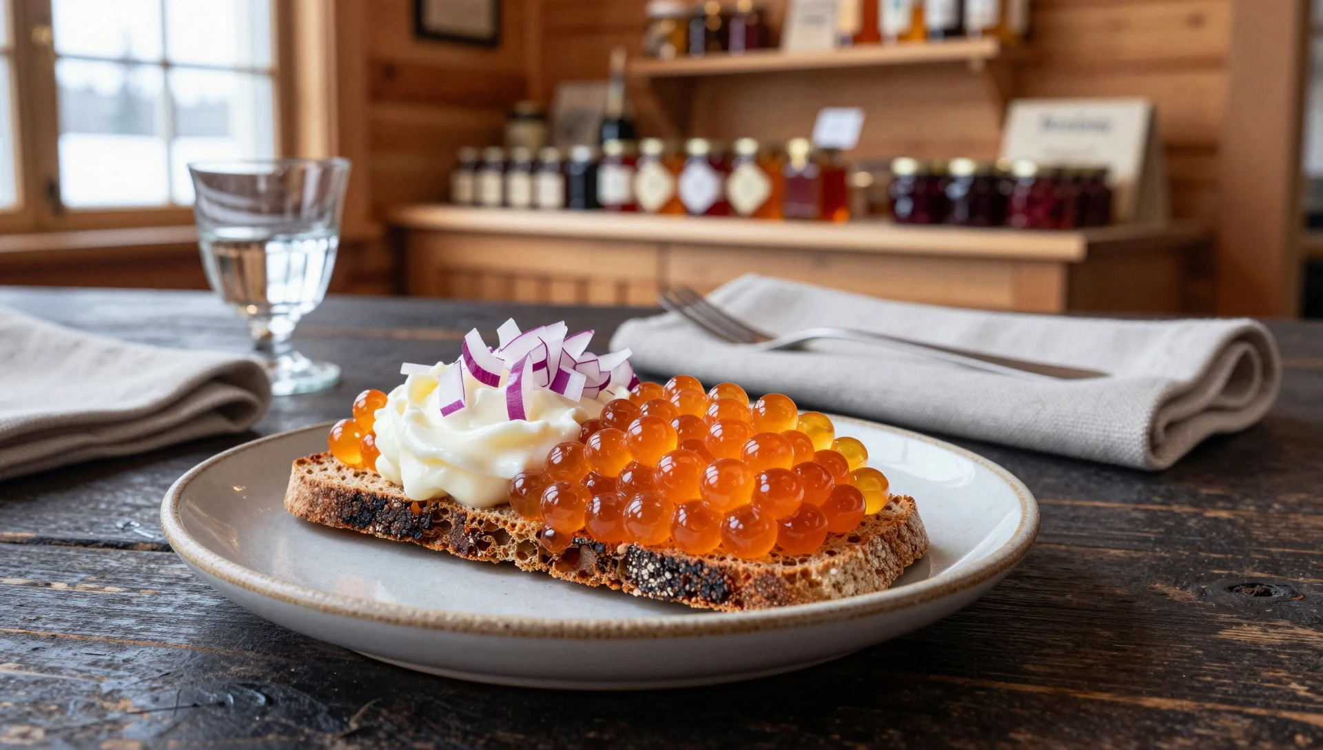
- Reindeer — Local eateries in northern Sweden towns
Reindeer features heavily in northern cuisine, from hearty cuts to slow-cooked meals when you can get them. Look for it at local eateries and seasonal menu boards in towns connected to the trail entry points, where northern ingredients are common.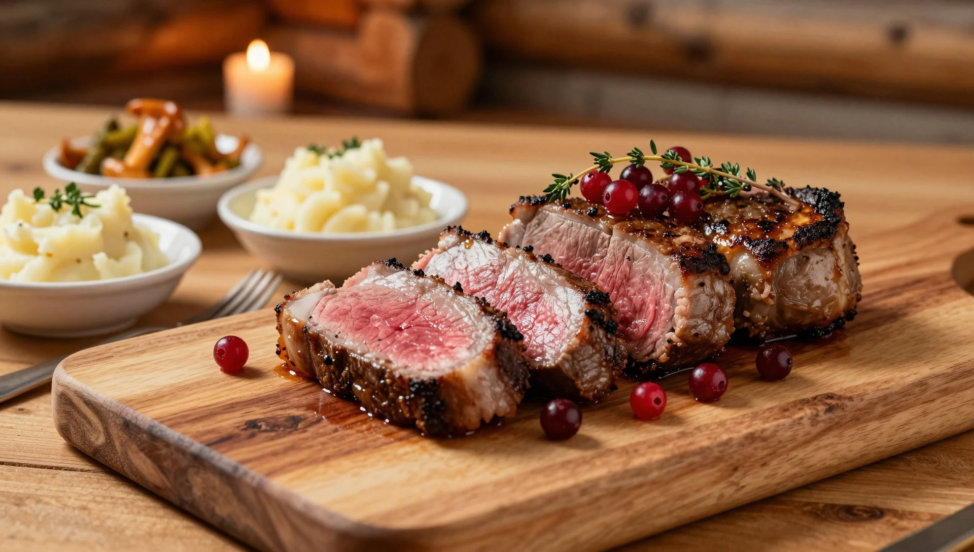
- Surströmming (fermented herring) — Speciality food shops and seasonal Nordic menus
Surströmming is fermented herring—an acquired taste and a very northern tradition. It’s usually sold around special seasonal times, so ask locally what’s available when you’re in the area, and be ready for a very strong smell where it’s served. - Palt (Swedish potato dumplings) — Northern Sweden restaurant menus
Palt are dense, filling dumplings associated with northern Sweden, typically made from potato and served in a way that suits cold weather. You’ll usually spot them on menus in the region rather than in mainstream chains.
Plan it
Best time. May to August is usually the warmest stretch, with June and July as the wettest months; April and September are often the most comfortable compromise, while late autumn brings the coldest, darkest days and the highest chance of snow.
How long. 3–4
Getting there. Fly into one of Sweden’s northern domestic hubs (Arvidsjaur, Luleå, Gällivare, Kiruna, or Pajala) or start from Stockholm-Arlanda, then take onward train or bus towards the inland. From there, the last leg is usually by car or a local connection to the trailheads used for the longer hikes.
Budget. mid
Tips
- Plan for no-cabin hiking inside the park and arrange any overnight strategy for the approach routes outside the park boundary.
- If walking early in the day, use mornings for stream crossings where conditions are calmer.
- Bring navigation skills—Sarek’s routes aren’t the type that you can rely on for simple, signposted wandering.
- Check snowfall and storm forecasts even if you’re only moving valley-to-valley; weather can shift quickly in Lapland.
- If new to high-alpine travel, consider hiring a guide—Sarek’s terrain and hazards are not beginner-friendly.
Etiquette
- Respect local travel: keep noise low and move at a considerate pace in inhabited Sami country.
- Cross water carefully and only attempt what you can do safely; rushing is how injuries happen in this terrain.
- Leave no trace—pack out rubbish and avoid damaging vegetation around makeshift routes.
Nearby
Sources
- Wikidata Q945780 (CC0)
- Wikipedia (rev 1357875225) (CC BY-SA 4.0)
- Wikivoyage (rev 5414038) (CC BY-SA 4.0)
- Photo photos/01-rapadalen-mittre-25.jpg (Public domain)
- Photo photos/02-pierikpakte-in-sarek.jpg (Public domain)
- Photo photos/03-piellorieppe-rapaselet-25.jpg (Public domain)
- Photo photos/04-sarek-national-park-worldwind-2.png (Public domain)
- Photo photos/05-rapaselet-from-piellorieppe.jpg (Public domain)
- Photo photos/06-laitaure-aster-2002-08-09.jpg (Public domain)
- Photo photos/07-alkavagge-kuoper.jpg (Public domain)
- Photo photos/08-mikkaglaci-ren-vre-del-25.jpg (Public domain)


