Samar
Samar, Philippines
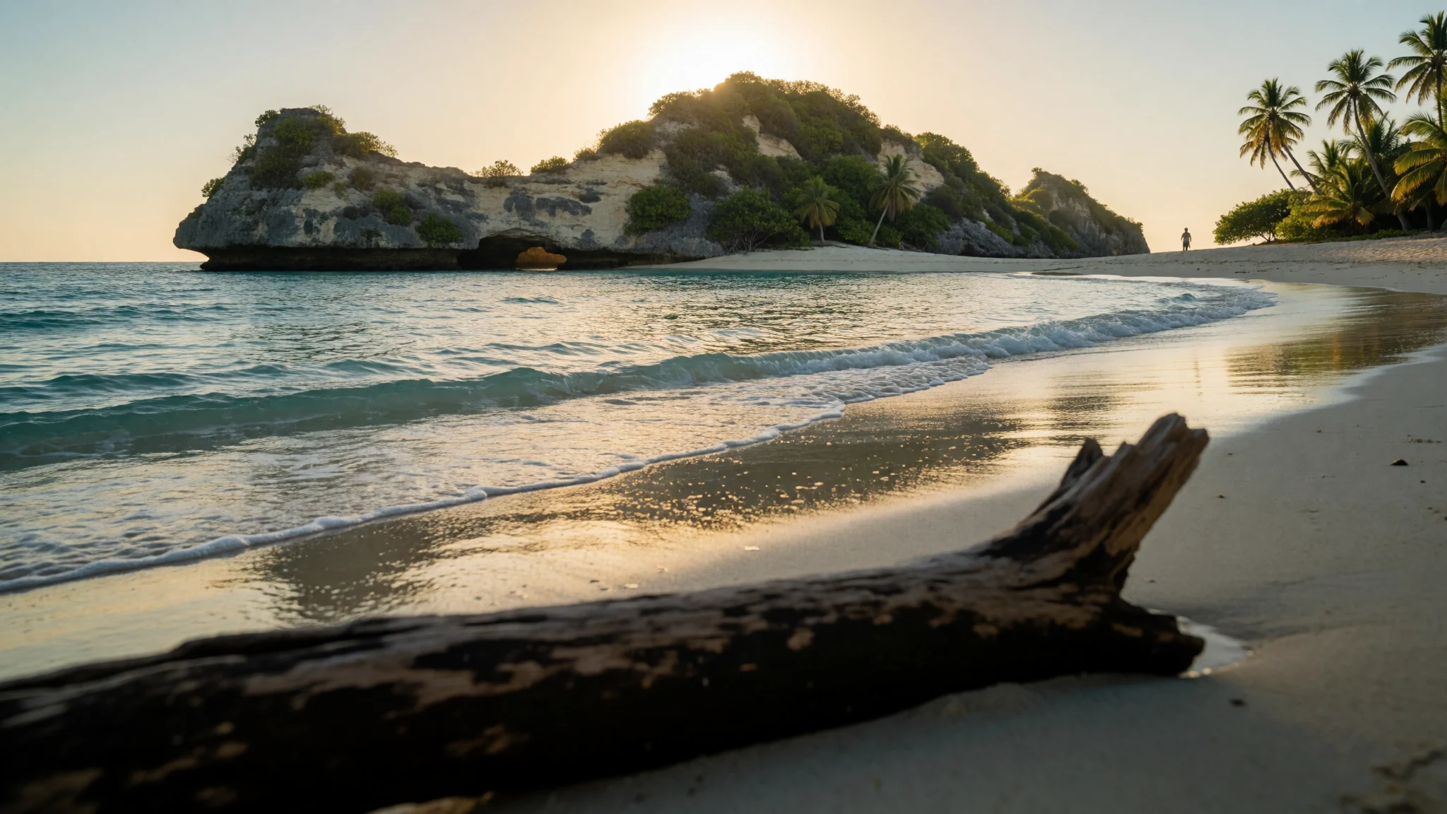
Samar is a rugged, little-visited Philippine island of limestone islets, caves, rivers and Pacific surf, best for travellers happy with slow roads and ferries.
The place
Situated furthest east among the Visayas, Samar ranks as the Philippines' third-biggest landmass, bordered by the open Philippine Sea to the north and east and the gentler Samar Sea to its west. Leyte lies to the southwest across a narrow strait, and the Bicol peninsula of Luzon is close to the northwest. About 1.75 million people live here, mostly Waray speakers and mostly Roman Catholic. The island is divided into three provinces: Northern Samar, with its capital at Catarman; Western Samar, with Catbalogan; and Eastern Samar, with Borongan. The interior is rugged forest rising to about 850 m, threaded with caves, rivers and waterfalls, and much of it is set aside as a nature park. Daily life happens on the coast, in fishing villages, coconut groves, rice fields and small towns strung along one main highway. Farming and fishing carry the economy, with copra, abacá, rice, root crops and tuna all important. This is not a polished resort island. Services thin out quickly beyond the towns, buses are slow, and typhoons shape both the calendar and the way houses are built. In return, Samar offers empty limestone islets, surf on the Pacific side and the sense of a place that few outsiders reach. Anyone expecting resort-style infrastructure will be disappointed; anyone content with ferries, tricycles and local company will find it rewarding.
Its story
Samar's recorded history begins with outsiders, though people had settled the coasts long before. Local leaders called datus ran the harbour communities, among them Iberein of Laoang, Tandaya of Sulat and Hadi of Palapag. Ferdinand Magellan's expedition sighted the island in 1521, arriving from the Marianas, and the chronicler Antonio Pigafetta wrote its name as Zamal. Magellan did not land. He sailed south, stopped at Suluan and came ashore at Homonhon the next day, so Samar was the first Philippine island seen by the expedition but not the first visited. The historian William Henry Scott noted a meeting in 1543 in which Iberein, wearing gold jewellery himself, went out to greet a Spanish ship rowed by oarsmen with gold collars. Scott also recorded a sung Samarnon tale, a siday, about Bingi of Lawan. Earlier names for the island include Ibabao, Achan, Camlaya and Taridola. Under Spain, Samar was first administered from Cebu. The twentieth century was harder. After the First Philippine Republic collapsed, Eugenio Daza led a successful attack on United States troops, and the brutal 'pacification' that followed killed thousands of people. The Pulajan movement rose against American rule, the Battle off Samar was fought offshore in the Second World War, and an insurgency continues. In 2013 Typhoon Haiyan struck, and repairs took more than a year. Today the past shows mostly in place names, church towns and memorials.
What to see
- Marabut Islands — Marabut, Western Samar
Off Marabut in San Pedro Bay, limestone outcrops rise straight from the sea, some topped with scrub and fringed with small beaches. Boats go out from the town, and the water is calmest in the drier months. Expect basic arrangements, so settle the boat and timing with a local operator beforehand.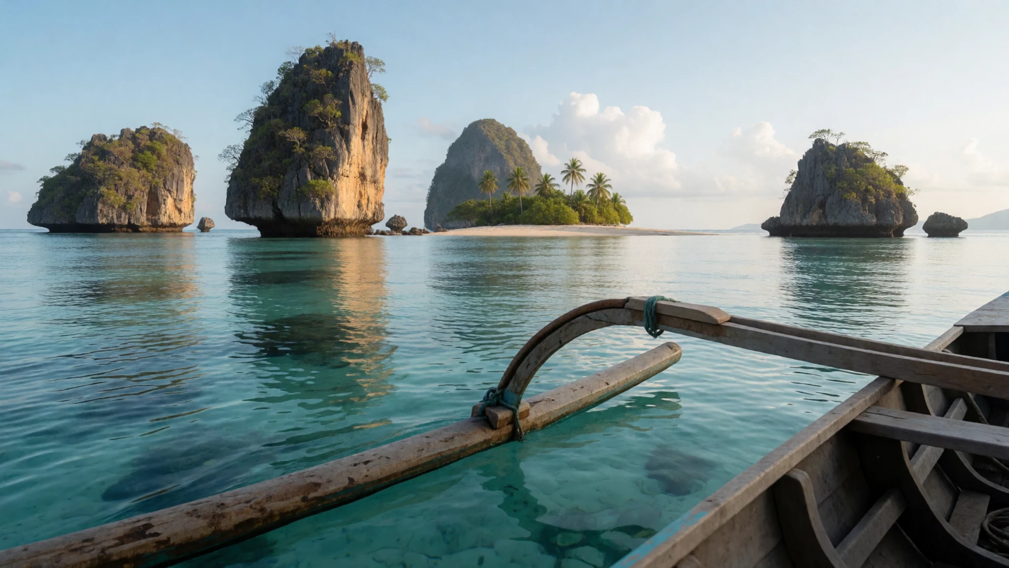
- Sohoton Natural Bridge National Park — Basey, Western Samar
Near Basey, this park combines cliffs, caves, lagoons and a natural rock arch, reached by boat up a river from the coast. Panhulugan Cliff is the landmark where boats tie up. Guides are normally required, and heavy rain can close the river, so check conditions before travelling.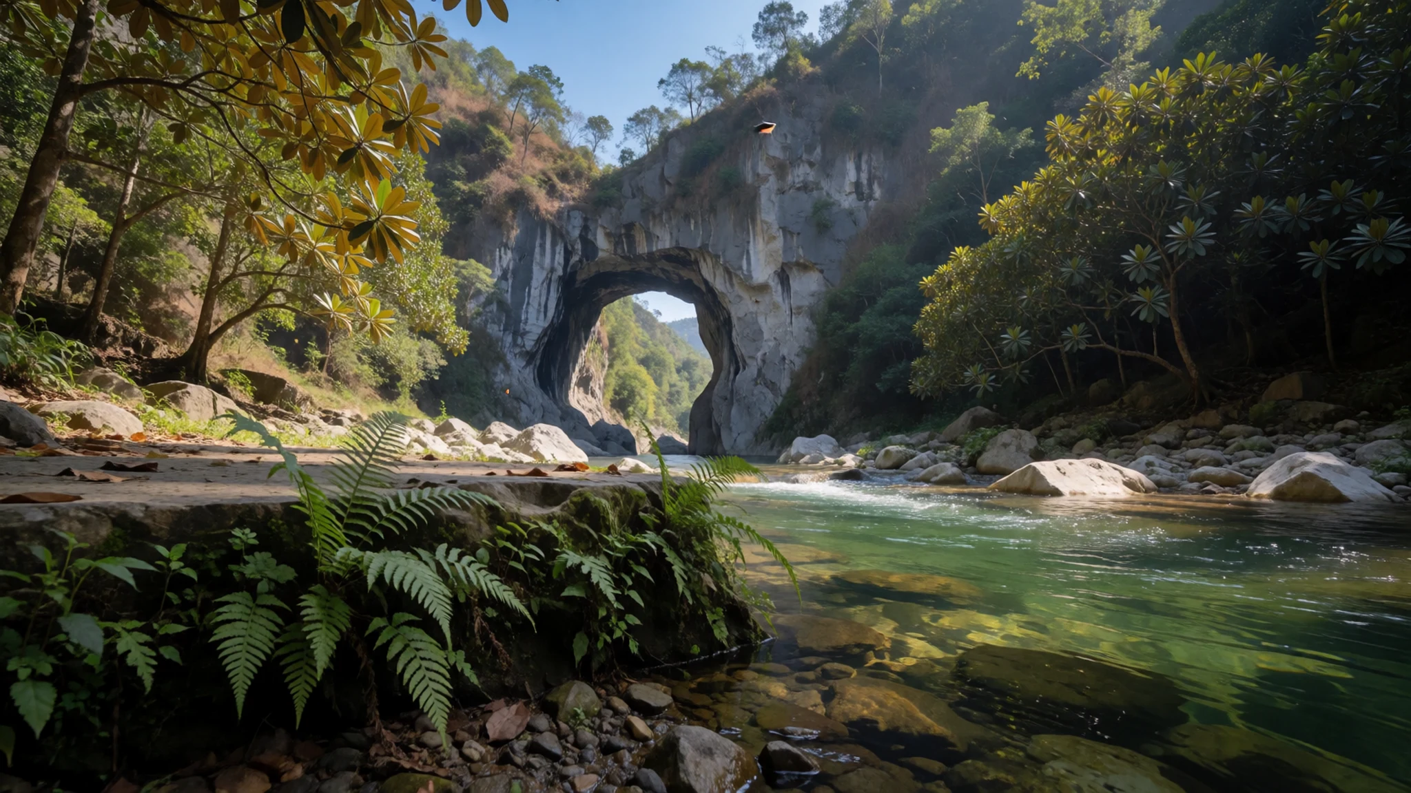
- San Juanico Bridge — Santa Rita, Western Samar
This long bridge links Santa Rita on Samar with Tacloban on Leyte, and Wikivoyage counts it among the longest in the Philippines. It is worth crossing slowly by day for the view over the strait, and it doubles as the main road link between the two islands.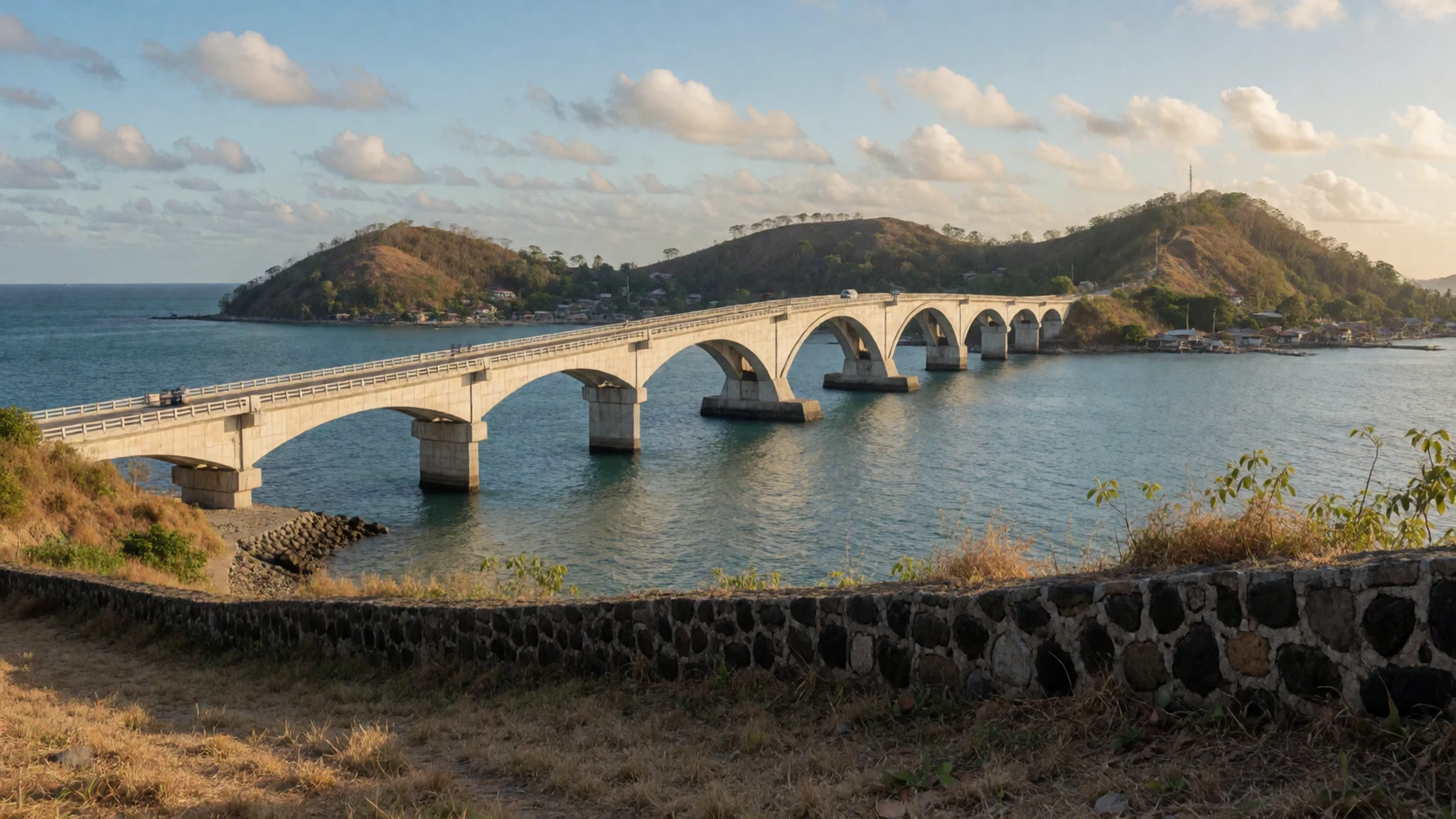
- Samar Island Nature Park — Interior of the island
The forested interior is known for caves, underground rivers, waterfalls and trekking routes. It suits people comfortable with spelunking and rough ground, not casual strollers. Go with a local guide arranged through the nearest town, and expect mud, leeches and sudden rain.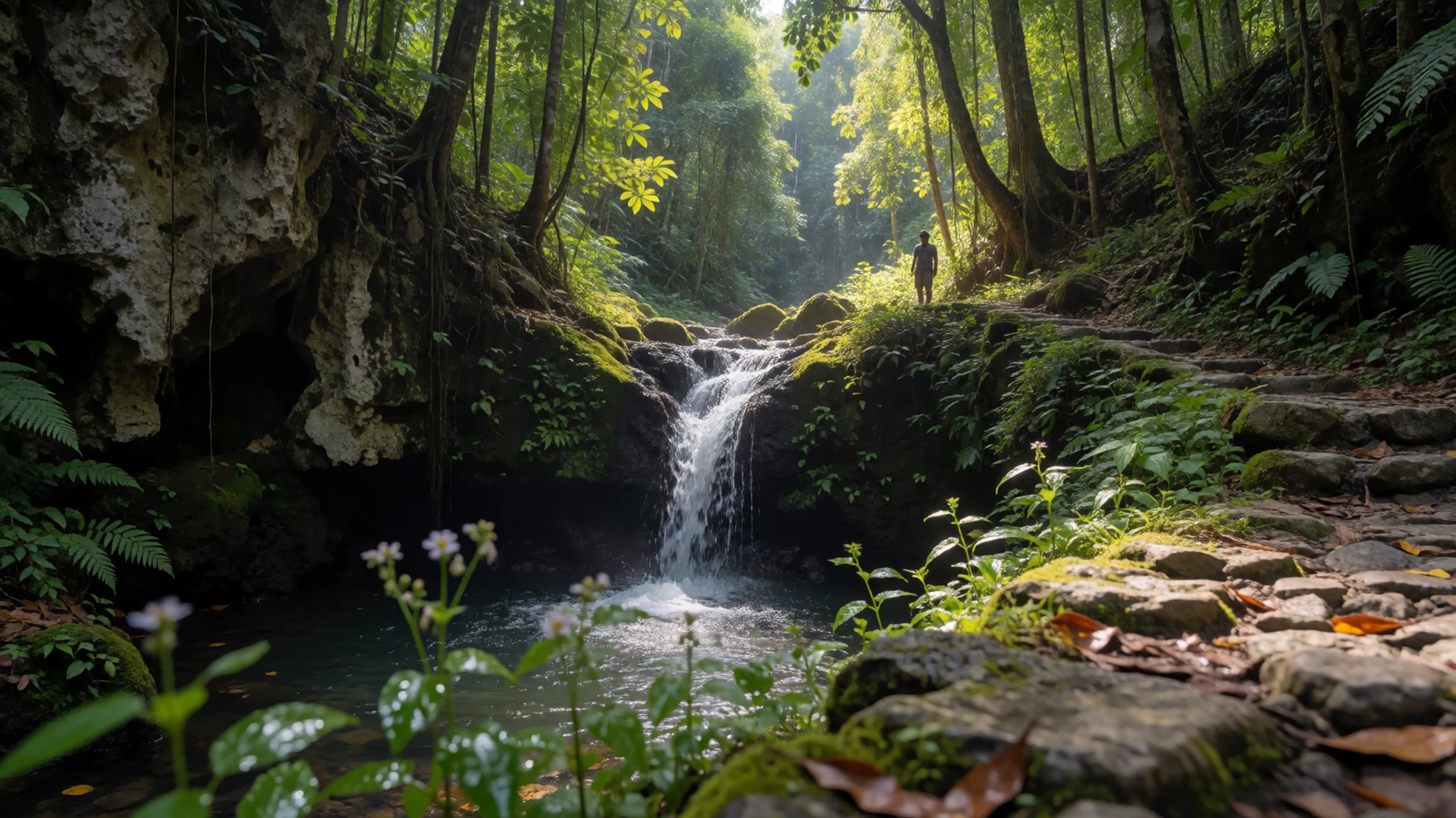
- Calicoan Island — Guiuan, Eastern Samar
On the Pacific coast of Eastern Samar, Calicoan is the surfing base of the island and hosts an international surfing circuit each year. Swells are strongest outside the typhoon months, and beginners should choose a local surf school and read the conditions with care.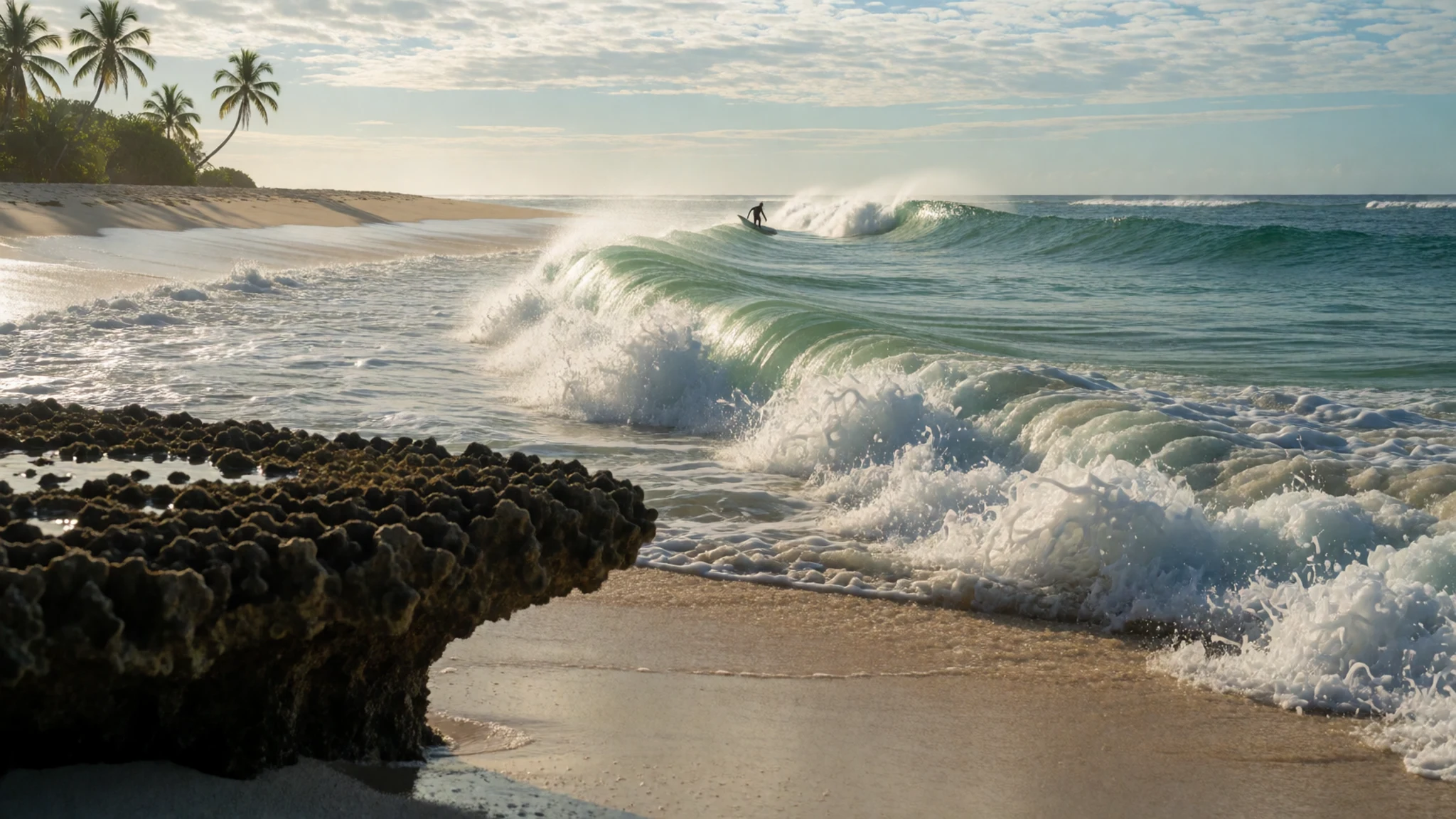
Culture
Samar's culture is Waray, the language and identity of Samar and neighbouring Leyte, and it is shaped by Catholicism, island farming and fishing, and a long habit of weathering storms. Each town keeps its own patron-saint fiesta, when families open their homes, cook in bulk and expect visitors to eat. Hospitality here is not a performance: being offered food at someone's house is normal and refusing outright can feel curt. Oral tradition runs deep, including the siday, a sung narrative form, and the old stories of datus such as Iberein and Tandaya are still told. The provinces were created together, and a holiday on 19 June marks that. History is also felt in memories of the Philippine–American War and the destruction of Typhoon Haiyan, so locals may speak about both with feeling. Church bells, karaoke, tricycle horns and roosters set the soundscape, and mornings start early. English is widely understood in towns, but a few words of Waray, such as a friendly greeting or a thank-you, are noticed and appreciated. Politeness leans on softness: a smile, a lowered voice and patience go further than argument. When visiting a church during Mass or a fiesta procession, dress modestly, stay quietly at the back, and ask before photographing people at prayer or in a family celebration.
What to wear
Traditional dress in Samar belongs to the wider Visayan and Filipino family. Women historically wore the patadyong, a wrapped checked cloth, often woven from cotton, with a blouse; abacá, the banana-relative fibre grown on the island, has long supplied rope and cloth. For formal occasions the barong tagalog, a light embroidered shirt, and the terno, a dress with butterfly sleeves, appear at weddings, fiestas and school or civic events. These are special-occasion clothes rather than daily wear. Day to day, people dress for heat and humidity: T-shirts, shorts or light trousers, rubber sandals, caps and umbrellas against both sun and rain. Fishers and farmers wear long sleeves and wide hats in the field, and school uniforms are a common sight on the roads. A visitor should pack for a hot, wet climate with light, quick-drying cotton or synthetic layers, a rain jacket and a hat. Cover shoulders and knees for churches and town halls, and keep swimwear for the beach, not village streets. Sturdy sandals or water shoes suit boat landings and river trips, while closed shoes with grip are better for caves and forest trails, which are slippery. Bring a dry bag for electronics.
What to eat
- Kinilaw — Fish landings and seaside eateries in coastal towns
Raw fish or seafood cured in vinegar or citrus with onion, ginger and chilli, a staple wherever the catch is fresh. Tuna is common in the north. Eat it at coastal eateries and market stalls close to the landing, where the fish comes in that morning.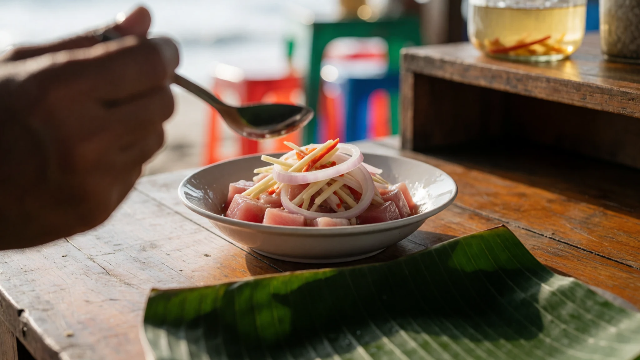
- Sinugba — Evening grills near town plazas and bus stops
Fish, squid or pork grilled over coals, usually with a sour dipping sauce of vinegar, soy and chilli. Smoke drifts from roadside grills in the evening. It is simple, filling and the easiest way to eat well in a small town.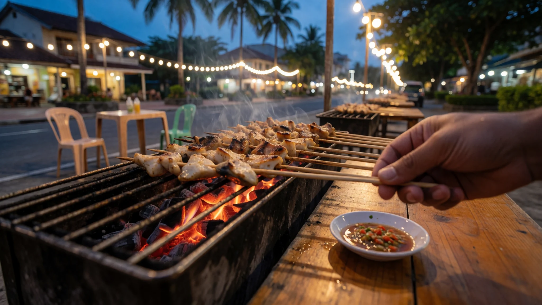
- Ginataang root crops — Carinderia, the small local rice-and-dish eateries, and market food stalls
Sweet potato, cassava or taro simmered in coconut milk, sometimes with fish or greens. Root crops and coconut grow throughout the island, so this home-style dish turns up often, especially when storms have disrupted the catch. - Suman and other rice cakes — Public markets and bus terminals
Sticky rice cooked with coconut milk and wrapped in leaves, often eaten as a snack with coffee or hot chocolate. Variants differ from town to town, and the stalls are usually busiest in the morning. - Carabao milk sweets — Local markets and roadside stalls in farming areas
Dairy from native water buffalo is made into soft sweets and fresh milk drinks in parts of the island. Availability is patchy, so treat it as something to ask about locally rather than plan around.
Plan it
Best time. March to May is generally the drier, more settled period for boats, caves and the beach, though it is hot and humid. Typhoons are a constant risk, mainly in the later part of the year, so check weather advisories before travelling and keep plans flexible.
How long. 4–6
Getting there. Fly from Manila or Clark to Calbayog or Catarman, or from Cebu to Calbayog or Catbalogan; check current schedules with the airlines. By road, long-distance buses from Manila run along the Maharlika Highway, with a short ferry crossing from southern Luzon to northern Samar. From Leyte, the San Juanico Bridge links Tacloban to Samar. Locally, jeepneys, minibuses and tricycles fill the gaps.
Budget. low
Tips
- Check typhoon and weather advisories before booking and again before every boat trip
- Carry cash, as cards and cash machines are scarce outside the larger towns
- Arrange guides for caves, Sohoton and island boats locally and ahead of time
- Allow slack in the schedule because buses, ferries and roads can be slow
- Bring drinking water, insect repellent and a rain jacket
Etiquette
- Dress modestly in churches and during fiesta processions
- Ask before photographing people, especially in homes or at prayer
- Accept offered food graciously, and thank hosts warmly
Nearby
Sources
- Wikidata Q219737 (CC0)
- Wikipedia: Samar (rev 1383914926) (CC BY-SA 4.0)
- Wikivoyage: Samar Island (rev 5192078) (CC BY-SA 4.0)
- Photo: Marabut, Philippines, Limestone outcrops (Vyacheslav Argenberg) (CC BY 4.0)
- Photo: ISS022-E-85552, View of the Philippines (NASA) (Public domain)
- Photo: Editorial cartoon about Jacob Smith's retaliation for Balangiga (Homer Davenport) (Public domain)
- Photo: Haiyan 2013-11-07 1345Z (NASA) (Public domain)
- Photo: Panhulugan Cliff at Sohoton Natural Bridge National Park (Lawrence Ruiz) (CC BY-SA 4.0)
- Photo: N674, N1 crossing (TheNuggeteer) (CC BY-SA 4.0)
- Photo: Admiralty Chart No 3370, San Bernardino Strait (UK Hydrographic Office) (Public domain)
- Photo: Cypraea aurantium, Samar (Hectonichus) (CC BY 3.0)


