Rwenzori Mountains
Rwenzori Mountains, Uganda
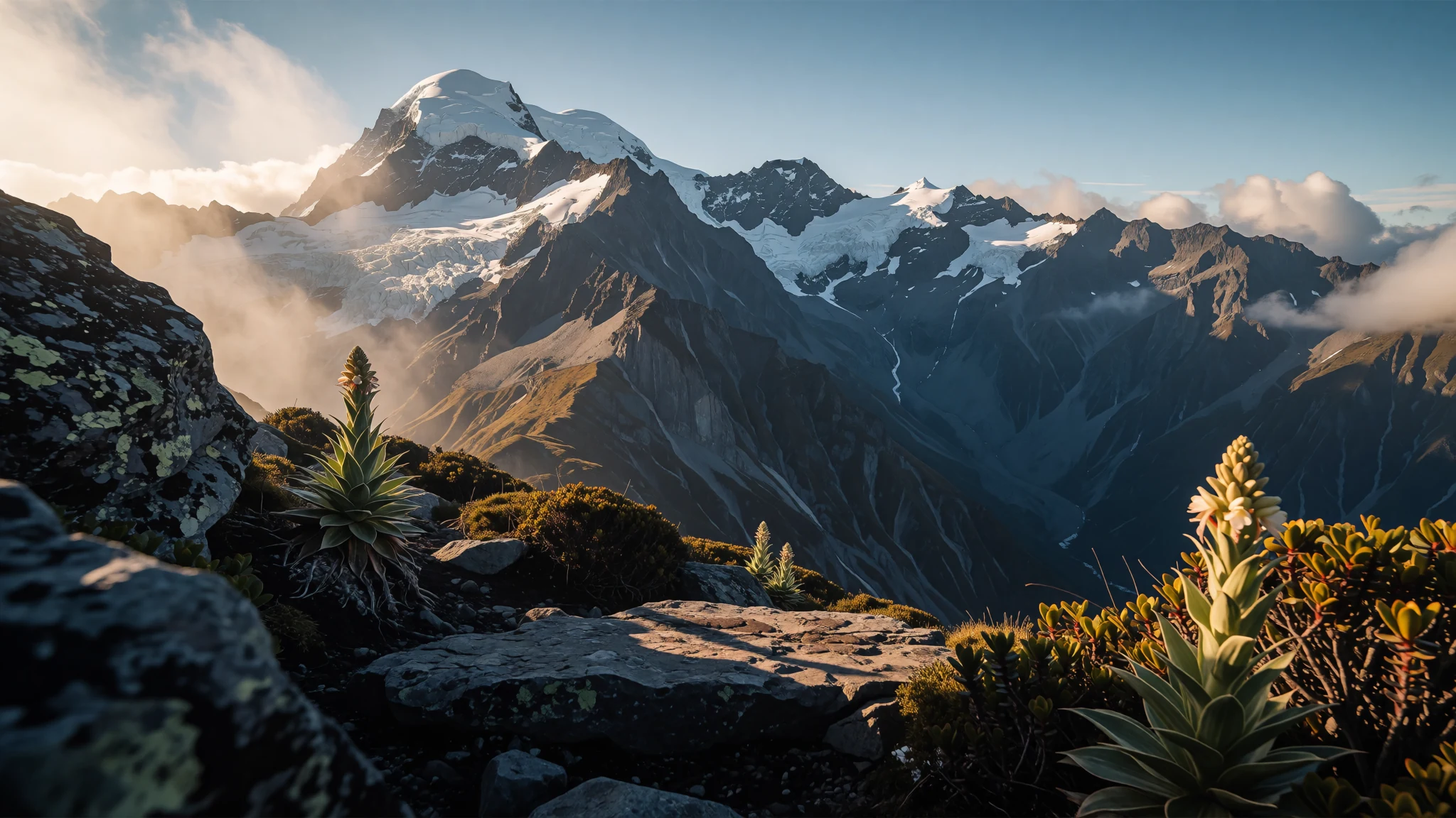
The Rwenzori Mountains: glaciers near the equator, reached by a demanding trek through bog, bamboo and giant lobelia.
The place
The Rwenzori Mountains sit on the border between Uganda and the Democratic Republic of the Congo, in eastern equatorial Africa. The range runs about 120 kilometres and is split into six massifs by deep gorges. Its highest point, Margherita Peak on Mount Stanley, reaches 5,109 metres, and the upper slopes carry permanent snow and glaciers, which is striking so close to the equator.
Most of the range lies within Rwenzori Mountains National Park on the Ugandan side, while Virunga National Park takes in part of the range in eastern DR Congo. From the foothills around Kasese the peaks often hide in cloud, so the summits are easiest to see on a clear morning.
Vegetation changes sharply with height. Lower slopes carry dense forest, then bamboo and heath, and higher up giant lobelias and tree-like groundsels stand out across the moorland. Streams running off the mountains are one of the sources of the Nile.
The trek is a serious undertaking rather than a stroll. Trails are muddy and steep in places, rain is frequent and the huts are basic. Guides are required by the park, so expect to hire one, and bring waterproofs, warm layers and boots with good grip. Several days are spent above the treeline, where the air is thin and nights are cold.
Its story
The Rwenzori Mountains earned their place in European imagination because of a question about where the Nile begins. Ptolemy, the Greek scholar, had written of the Mountains of the Moon as the river's source, and when European explorers reached snowy peaks in the interior, they linked the two ideas. The name has lingered ever since, and the range is still called the Mountains of the Moon in some accounts.
The geology is older than the legend. The range rose about three million years ago, when a block of crystalline rock was pushed upwards. That uplift also cut off an ancient lake and helped shape three of Africa's Great Lakes: Albert, Edward and George. Water running off these slopes is one of the Nile's sources, so the mountains are tied to the river's story in a physical way as well as a mythical one.
Through the twentieth century the range drew naturalists and mountaineers. Ornithologist James P. Chapin is pictured with a club flag on an expedition in 1925, a reminder that the high valleys were studied for birds and plants long before tourism reached them. Local communities in the foothills, including families in Kasese District, have lived alongside these mountains for generations.
The most visible change now is the ice. Comparative images of Mount Stanley, set from 1906 and 2022 and from 2012 as well, show glaciers shrinking. The peaks that gave the Nile its myth are losing the snow that once made the myth look convincing.
What to see
- Margherita Peak, Mount Stanley — Mount Stanley, on the Uganda–DR Congo border
Margherita Peak is the highest point of the range, rising from Mount Stanley on the Uganda–DR Congo border. Reaching it is a technical climb over ice and rock, so most visitors see it from the Central Circuit trail, where the summit is framed across a valley. Go on a clear morning, before cloud usually builds up over the peaks in the afternoon.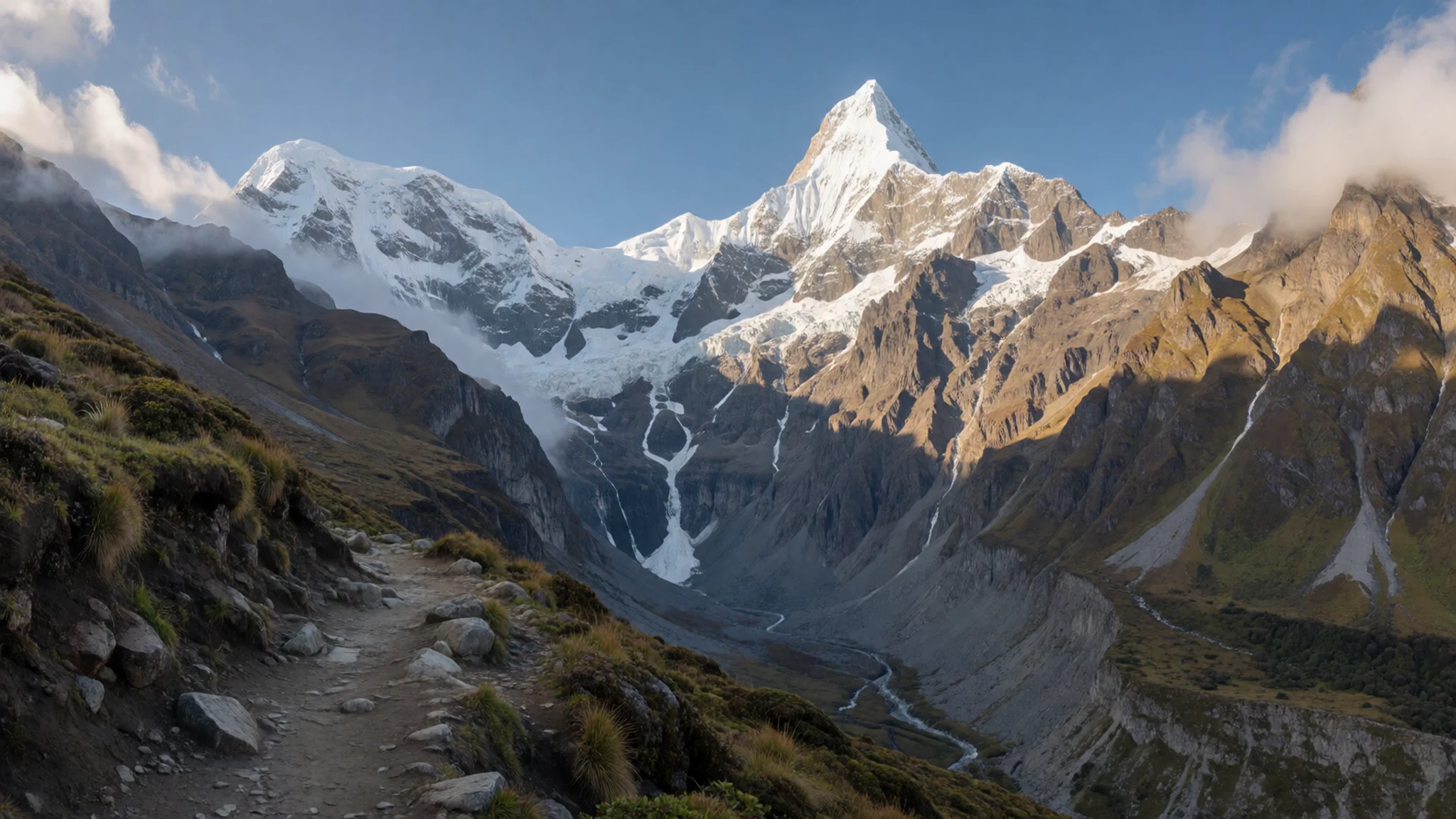
- Bujuku Valley — central Rwenzori, inside the national park
The Bujuku Valley is a high, open basin where trekkers spend nights at camps and huts. Plants here include giant groundsels and heathers, and the tarns below the peaks reflect the rock faces. The valley is a common base for day walks towards the glaciers. Mornings are usually clearest, so set off early, and pack a warm layer, because nights at this height are cold and damp.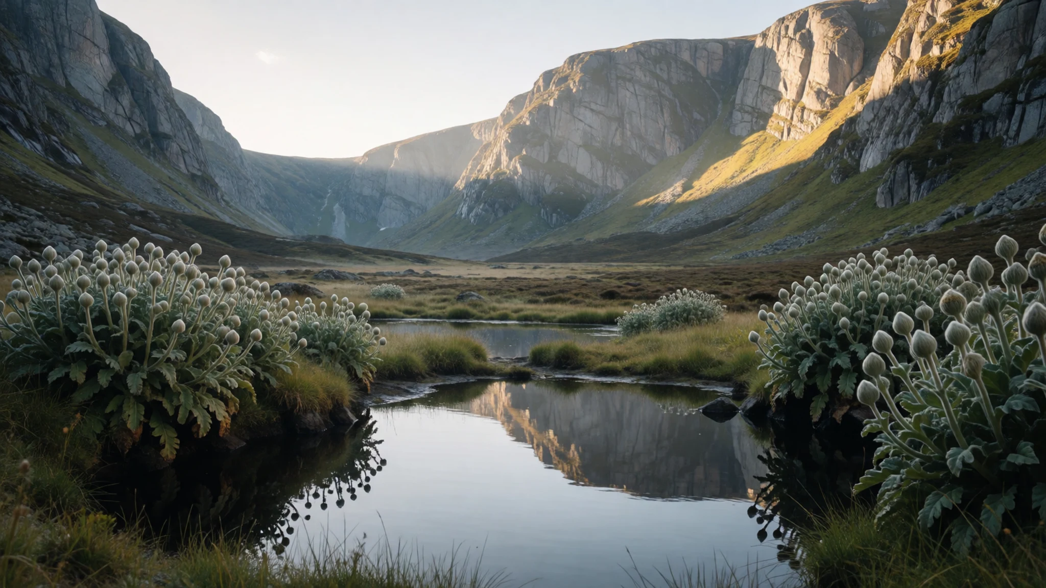
- Lower Bigo Bog — Bigo Bog, on the lower slopes of the range
Lower Bigo Bog is a boggy wetland on the lower slopes of the range, where giant lobelia stands out above the sedge and paths are laid over the wet ground. It is a useful first look at the strange plant life of the mountains. Paths keep feet dry in places, but mud can still be deep after rain, so wear gaiters and waterproof boots.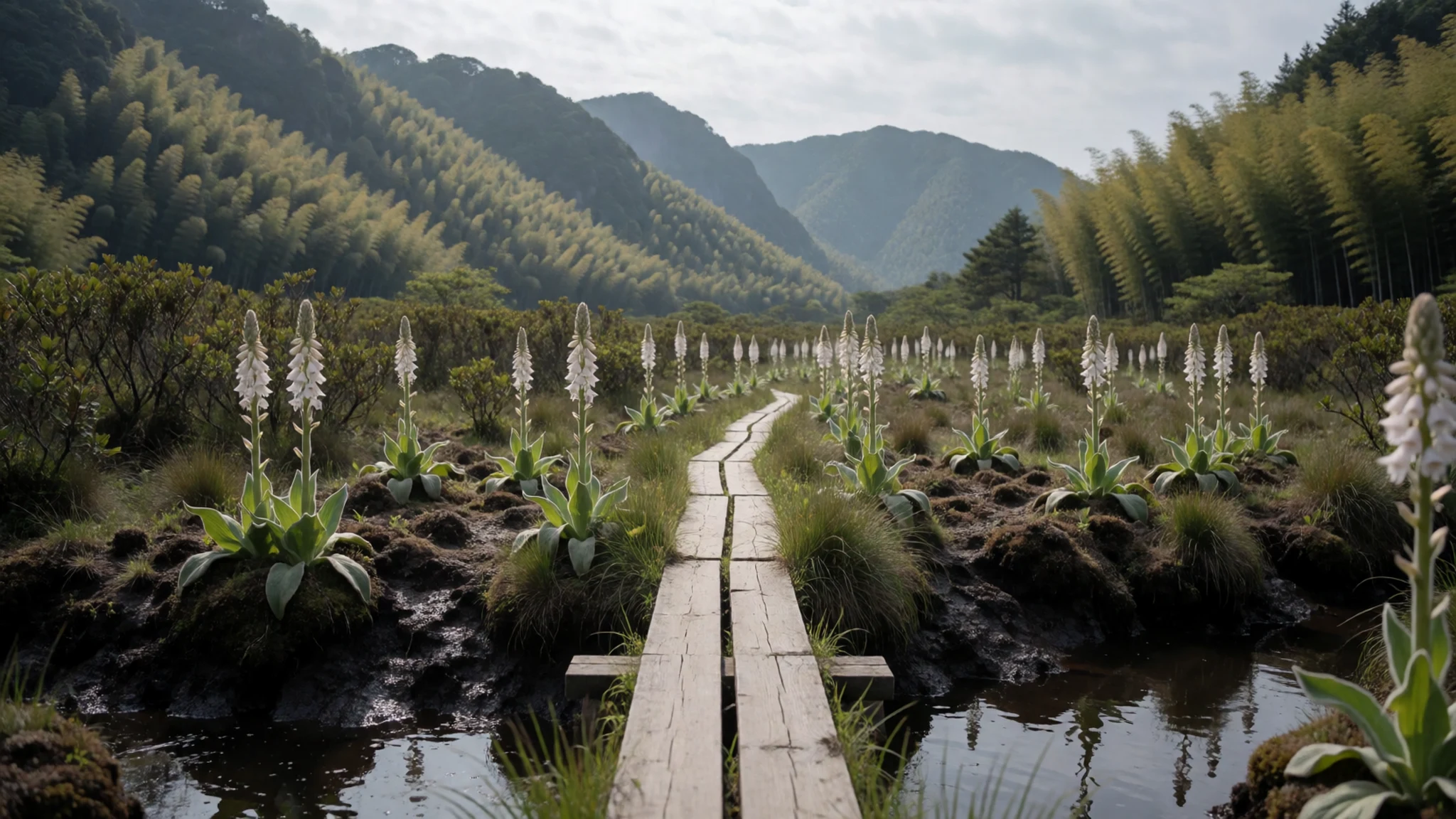
- Mount Speke, Mount Baker and the other massifs — the six massifs across the range
Alongside Mount Stanley, the other massifs are Mount Speke, Mount Baker, Mount Emin, Mount Gessi and Mount Luigi di Savoia. They are divided by deep gorges, and few visitors see them all. Routes move between the massifs over high passes, so a longer trek gives a sense of how the range is built. Ask your guide which peaks are visible from your route.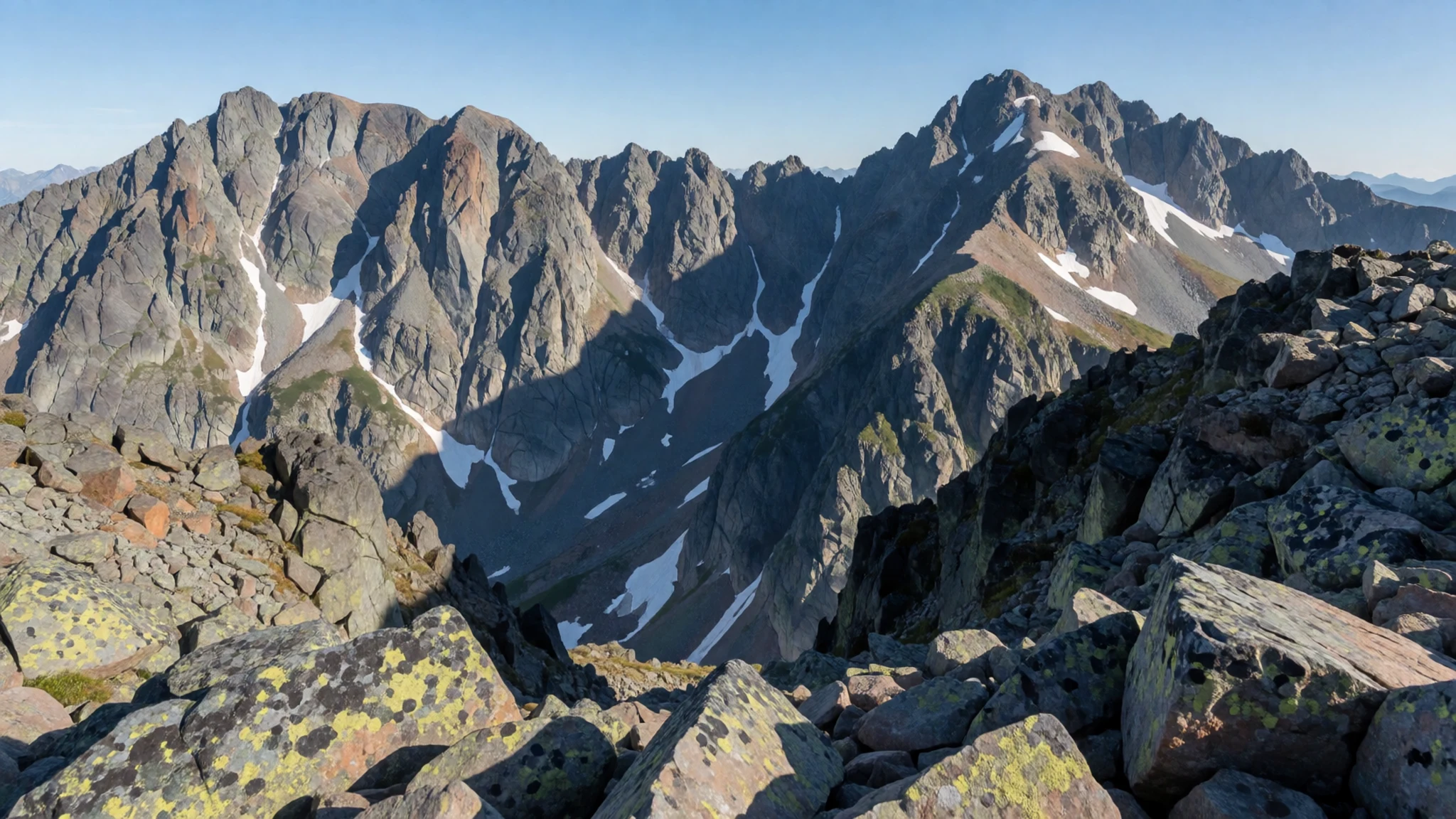
- The Kasese foothills — Kasese District, the start of most treks
The Kasese foothills are where most treks begin. Homesteads sit on ledges above the valley floor, and families farm the lower slopes, knowing the paths well. Stay in town or a guesthouse near the park gate, and arrange transport and porters before you arrive, because the road in can be slow.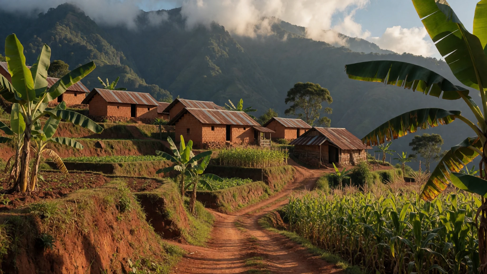
Culture
The Rwenzori Mountains are part of a landscape lived in by farming families, and the towns around Kasese run on markets, schools and a steady flow of trekkers. Most visitors meet local people through guides, porters and villages along the approach road, so the way you behave there shapes how you are received. Greetings matter in Uganda: ask how someone is before asking for directions, and wait for the reply. Porters carry heavy loads for the whole trek and deserve clear, fair pay agreed through your operator rather than haggling at the trailhead. Park rangers and guides set the rules for the route, so keep to the agreed path and listen at the morning briefing. Some people prefer not to be photographed at all, and a smile and a question usually go further than a camera. Ask before photographing anyone in a village, and carry all your rubbish out of the park.
What to wear
The Rwenzori foothills have no single traditional costume. Families there, as across Uganda, wear locally made cotton and printed fabrics such as the kanga, a wrap with a printed border and often a saying along its edge, worn by women for work and at home. For formal occasions many Ugandan women choose the gomesi, a long, belted dress with a wide sash, and men may wear a long shirt or a suit.
Today most people wear Western-style clothes: jeans, school uniforms, football shirts and smart, modest clothes for church or mosque. Porters and guides often wear basic, worn waterproofs and boots, and everyday dress is mostly cotton or synthetic.
A visitor should dress for cold, wet and sun. On the mountain, pack a waterproof shell, a fleece or down layer, a warm hat and gloves, and gaiters for mud. Lower down and in villages, cover shoulders and knees: keep shorts for the trek and wear a long skirt or trousers near homesteads. Boots with good grip matter more than any fashion choice.
What to eat
- Matoke — the morning market in Kasese or any local eatery in the foothills
Green cooking bananas steamed or mashed until soft, served with a groundnut or bean sauce. It is a staple across western Uganda and is often served with a meat stew. Find it at a morning market in Kasese or at any local eatery in the foothills.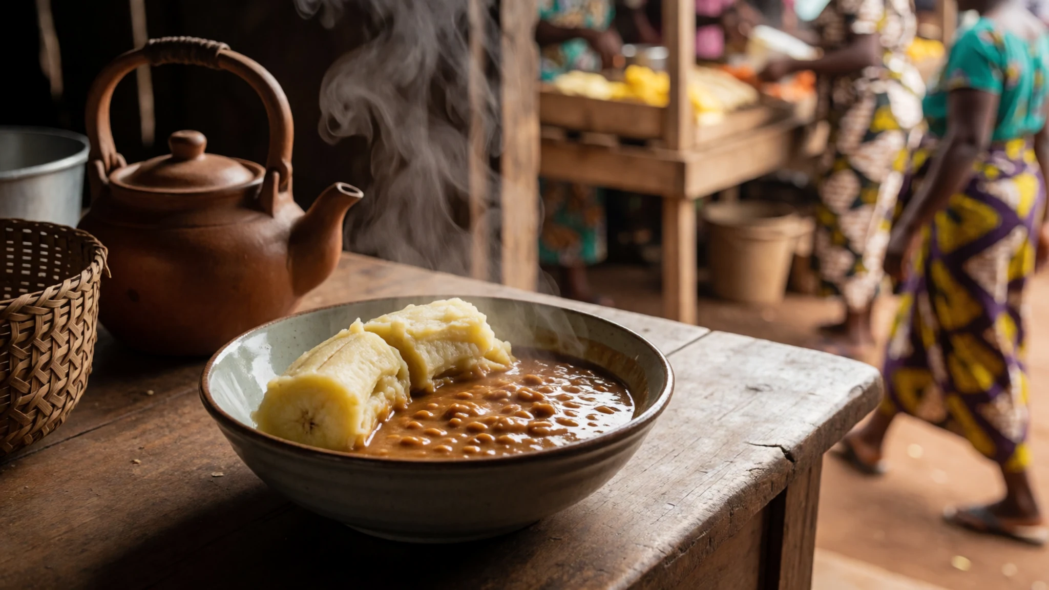
- Posho — roadside eateries and family homes in the foothills
Posho is a stiff porridge of maize flour, cooked with water until it firms into a dough and eaten by hand with beans, greens or stew. It fuels trekkers and porters. Eat it at a roadside eatery or at any family home that offers a meal in the foothills.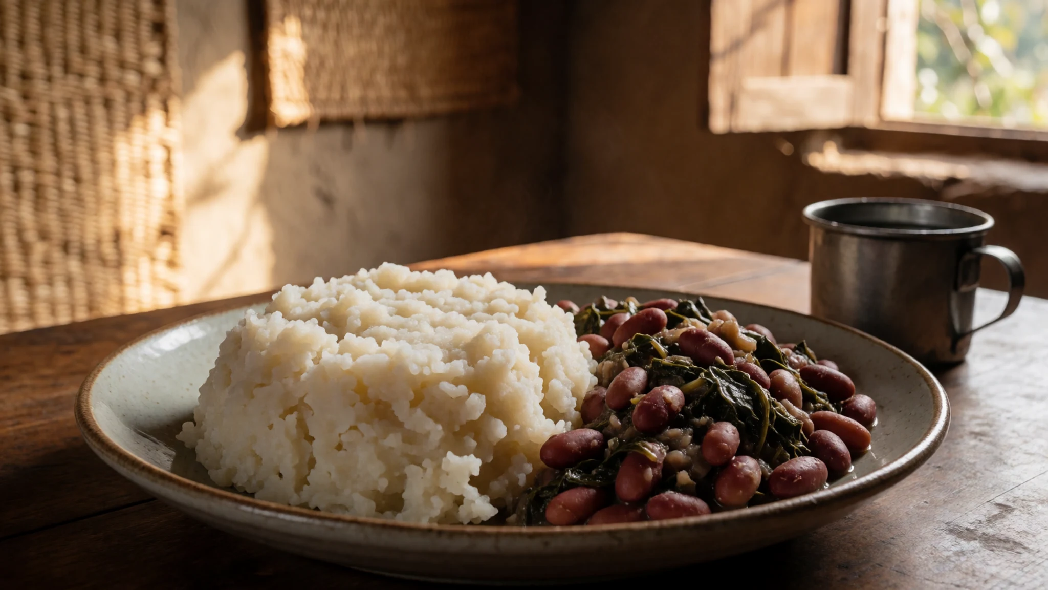
- Groundnut sauce — family-run eateries in Kasese town and village kitchens
Ground peanuts cooked into a thick sauce with onion and tomato, served with greens, matoke or chicken. It is rich without being heavy, and a good way to try local flavour. Look for it at family-run eateries in Kasese town and in village kitchens along the approach road. - Nyama choma — roadside grill stalls near the bus park in Kasese
Goat or beef cooked over charcoal and served with salt, chilli and sometimes kachumbari, a tomato and onion salad. Roadside grills are common; busy ones turn meat over fastest. Eat at a grill stall near the bus park or in the town centre. - Ugandan coffee — cafés and farm shops in Kasese town and the foothill villages
Ugandan coffee is grown on the lower slopes of the western hills, and a cup brewed in a small café or farm shop is a good end to a trek. Ask for it black or with milk, and expect a strong, fruity flavour rather than bitterness.
Plan it
Best time. June, July and December to February are the drier spells, giving the clearest views and the best trail conditions. March to May and August to November are wetter, with October the wettest month, and rain is frequent at any time of year. Cloud usually builds over the peaks by afternoon whatever the season.
How long. a week or more
Getting there. Fly into Entebbe International Airport near Kampala, then travel by road west to Kasese, the town at the park gate. The last leg is by road, usually with a booked driver or a transfer arranged by your trekking operator.
Budget. high
Tips
- Book guides, porters and park permits well in advance through the Uganda Wildlife Authority or a licensed operator.
- Check the official Uganda Wildlife Authority site for current permit rules and fees before you travel.
- Start walks early; cloud usually builds over the peaks by afternoon.
- Take rest days if you feel unwell at altitude, and tell your guide at once if symptoms worsen.
- Carry cash for small purchases, tips and village purchases.
- Treat water from streams, even where it looks clear, with tablets or a filter.
Etiquette
- Follow your guide and keep to the marked route through the park.
- Ask before photographing people, especially in villages.
- Carry all your rubbish back out of the park.
Nearby
Sources
- Wikidata Q106540 (CC0)
- Wikipedia, Rwenzori Mountains (rev 1373860309) (CC BY-SA 4.0)
- Wikivoyage, Rwenzori Mountains (Understand) (CC BY-SA 4.0)
- Photo 01: Dendrosenecio adnivalis, Nick06, via Wikimedia Commons (CC BY 3.0)
- Photo 02: Locator map of the Rwenzori Mountains, Gossipguy, via Wikimedia Commons (CC BY 3.0)
- Photo 03: Margherita Peak, Albert Backer, via Wikimedia Commons (CC BY-SA 2.5)
- Photo 04: House and people in Kasese District, Dylan Walters, via Wikimedia Commons (CC BY 2.5)
- Photo 05: Plants in the Bujuku Valley, Manuel Werner, via Wikimedia Commons (CC BY-SA 2.5)
- Photo 06: The Mountains Have Melted, Klaus Thymann, M0nnney, via Wikimedia Commons (CC BY-SA 4.0)
- Photo 07: Explorer Chapin with Club Flag #4, Research-collections, via Wikimedia Commons (CC BY-SA 2.5)
- Photo 08: Lower Bigo Bog, via Wikimedia Commons (CC BY 3.0)


