Rondane National Park
Rondane National Park, Norway
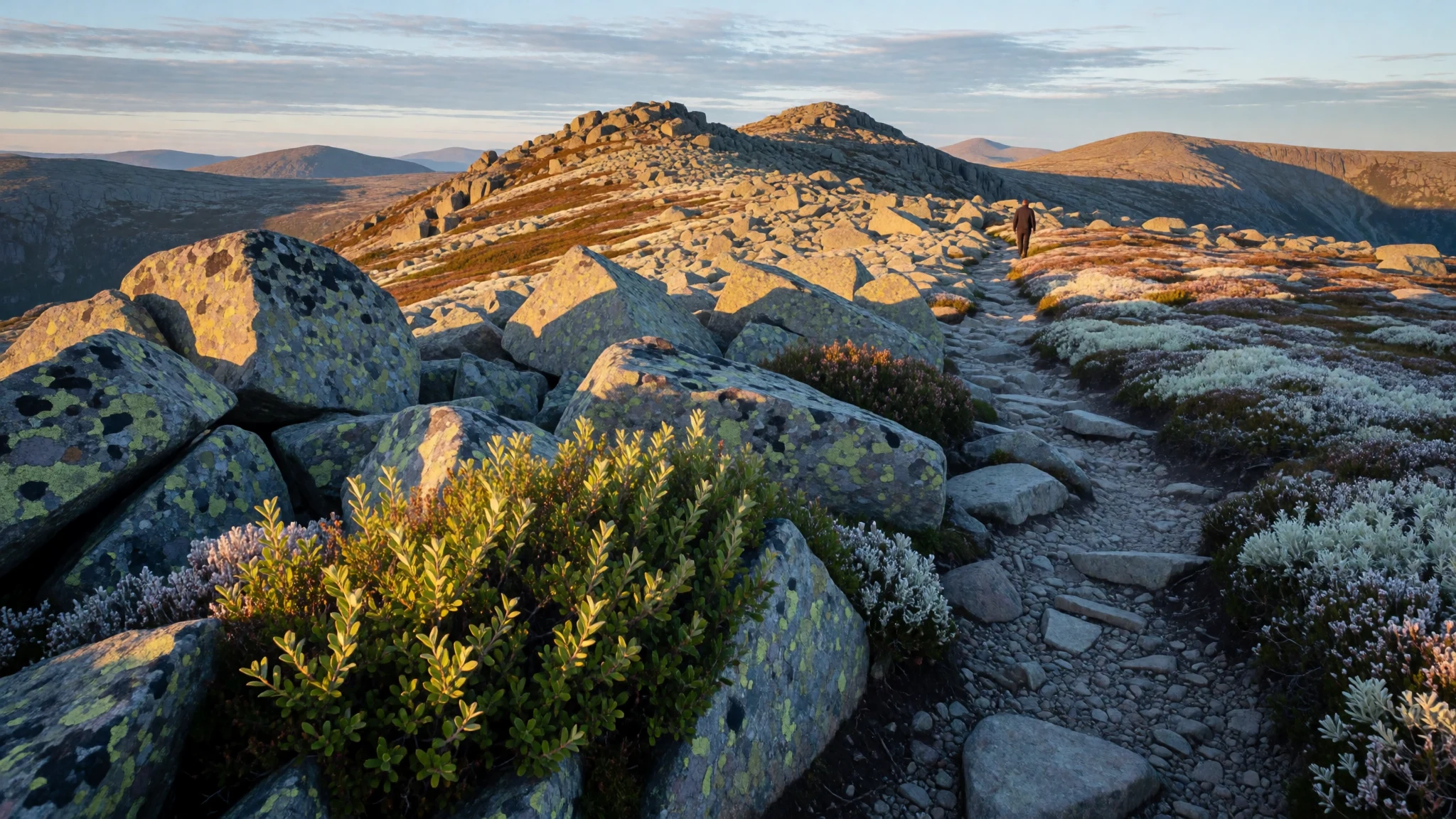
Rondane is a classic high-mountain walk: big plateaus, jagged peaks and wide horizons that feel seriously remote.
The place
Rondane National Park (Norwegian: Rondane nasjonalpark) sits in Innlandet county, straddling the municipalities of Dovre, Folldal, Sel, Nord-Fron, Sør-Fron, Stor-Elvdal and Ringebu. If Norway’s fjords are the “postcard” kind of wild, Rondane is the mountain version: rounded high country broken by valleys, lochs and steep walls, where the land looks worked by ice and weather rather than trees.
The park is built around a set of high peaks—ten of them sit above 2,000 m—and the landscape feels different as altitude climbs. Lower slopes still carry birch, but higher up the ground turns thin and stubborn: heather and lichen cover rocks with very little soil, and above about 1,500 m only the hardiest life clings on. It’s arid-feeling country, but not lifeless; the colour changes through the day, from pale morning light to stronger contrasts when clouds pass over.
Hydrology shapes the hikes too. Valleys slice through the massif, including a lake-filled trough around Rondvatnet, while “botns” (flat, stony dead valleys) sit beneath steep peak walls. Around all this, the reason many people come back is reindeer habitat—Rondane supports herds in a way that makes the hills feel alive even when the day is quiet.
Facilities are practical rather than flashy: you plan around trailheads, cabin networks and weather, and you go for long views more than sightseeing. Crowds aren’t the point here—conditions and timing are.
Its story
Rondane’s story goes a long way before the park existed. The area’s human footprint, in the archaeological sense, begins after the latest ice age, when climate shifts allowed reindeer to spread widely across Scandinavia—and later pull back into smaller areas, including Rondane. That back-and-forth shaped how people moved and hunted.
On the mountain plateau, archaeologists have found evidence of nomadic hunter-gatherer life connected to reindeer. Stone traps—large enough to guide or funnel animals—appear at places like Gravhø and Bløyvangen and are spread across the park. Some sites include smaller arched stone structures that likely helped hide archers waiting for targets. Dating work suggests the oldest traps could be around 3,500 years old, and other finds—residential remains—cluster in the period spanning 500 to 700 AD. In other words, the mountain has been used, not just admired, for a very long time.
Rondane later entered a modern conservation story. After nearly a decade of planning, it became the first national park in Norway on 21 December 1962, moving from protection as a nature area to national-park status. The original focus was about safeguarding native plants and animal life, plus the cultural heritage of the landscape, while also keeping it as a recreational area for future generations.
Today the physical geography still does the talking: ice-shaped valleys, stony plateaus and the sense of distance that makes a cabin-to-cabin day feel like its own world. Even a walk between numbered trail points becomes a continuation of a much older relationship between people, reindeer and the high tundra.
What to see
- Jutulhogget gorge — Near Rondvassbu / Rondvatnet area
A smaller gorge near Rondvassbu lodge—often described like a canyon tucked into the mountains. It’s a good stop to stretch your legs without committing to a full peak day, and it’s easy to fit into a route around Rondvatnet.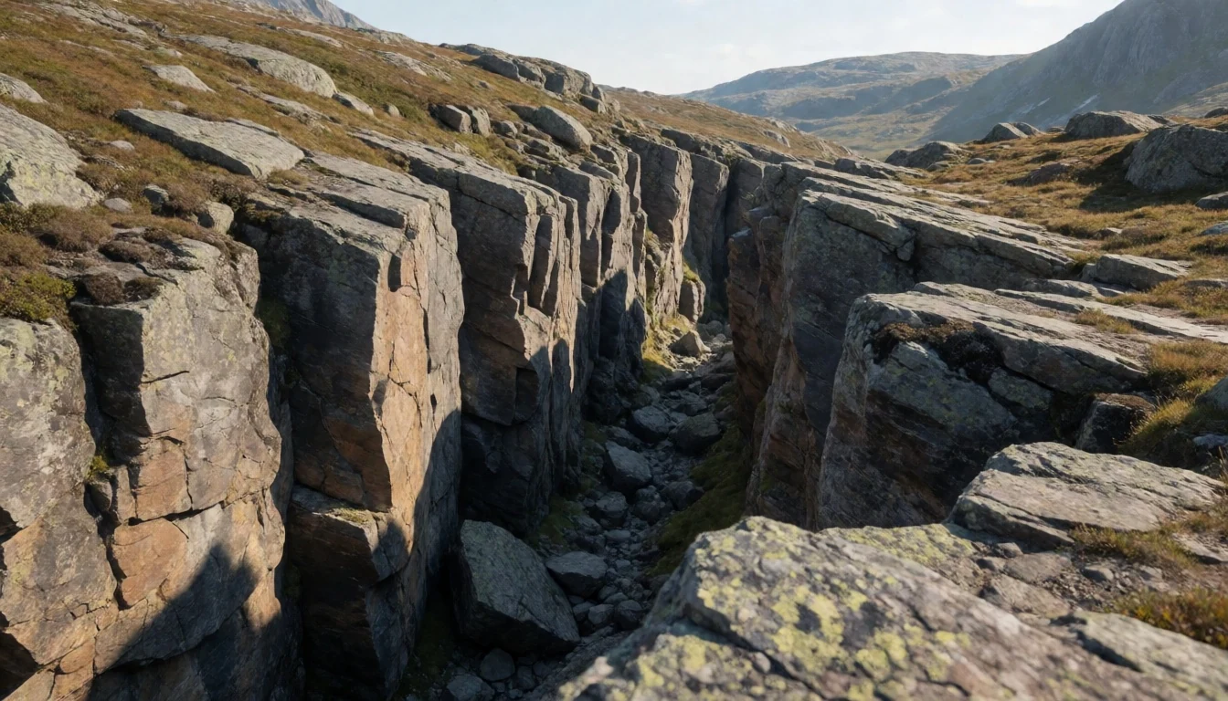
- Central massif viewpoints (Rondablikk area) — Rondablikk / central Rondane
Look for panoramic angles that show the park’s core shape—rounded plateaus cut by darker lines where valleys and steep slopes meet. On a clear day the contrast between bare rock and lingering snow (if present) makes the terrain read instantly.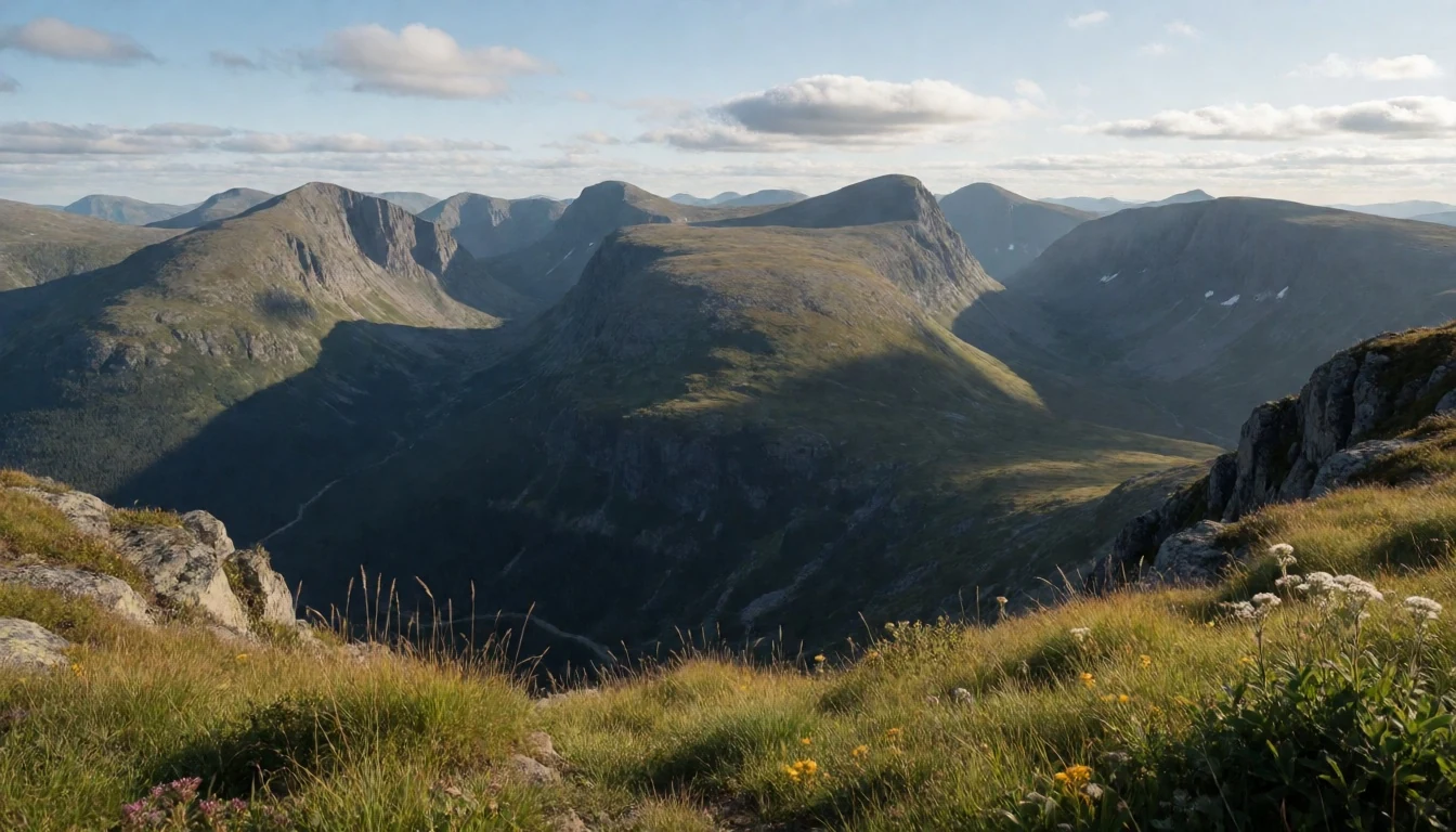
- Rondane’s high plateau tracts (Digerronden–Midtronden–Høgronden) — Veslesmeden / Digerronden–Midtronden area
These ridges and plateaus give you that “long distance” feeling: less greenery, more stone and lichen, with layers of hills fading into the haze. It’s the landscape type that makes Rondane feel different from lower, forested national parks.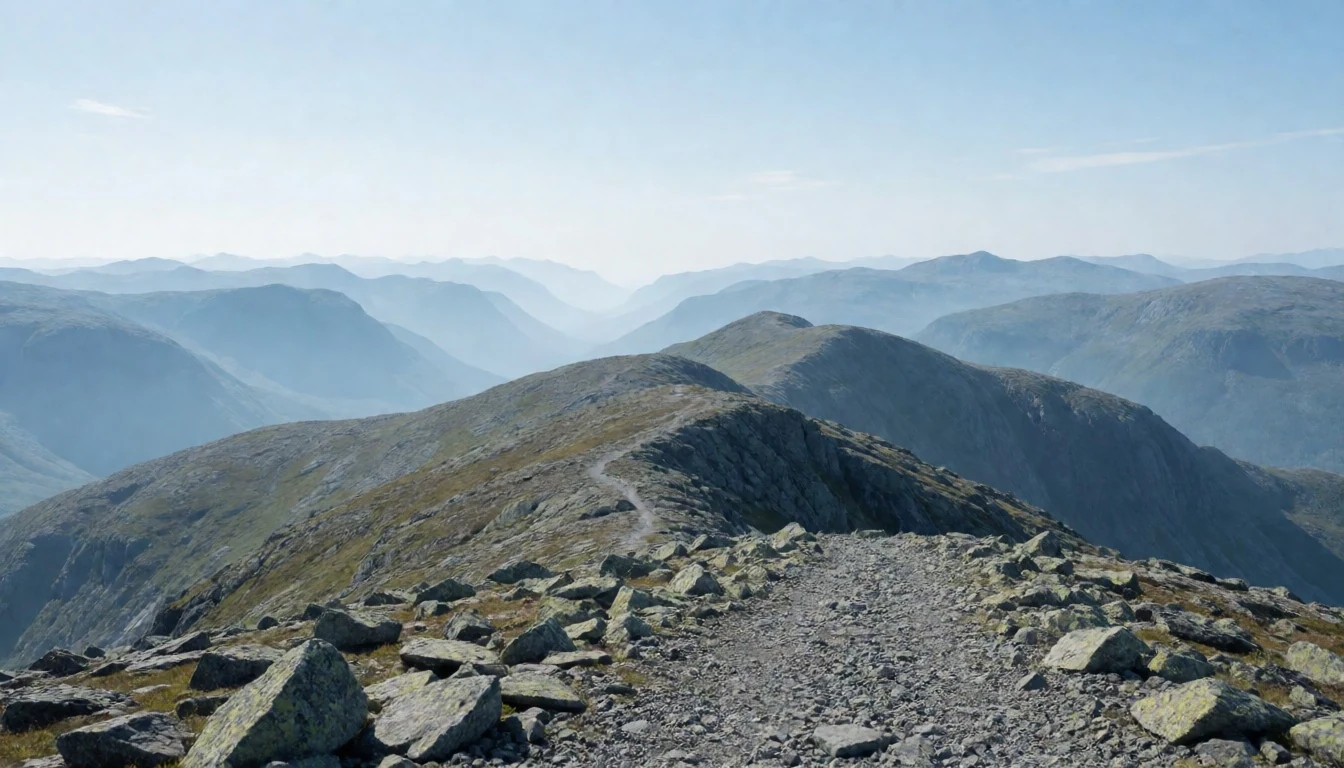
- Smiubelgen and the valley lines — Smiubelgen area / central park
Smiubelgen (“The blacksmith’s bellows”) sits in the park’s central story and helps frame how Rondane’s valleys open out. Even without climbing high, you can read the geography by tracking where the land drops and gathers around lake basins and steeper walls.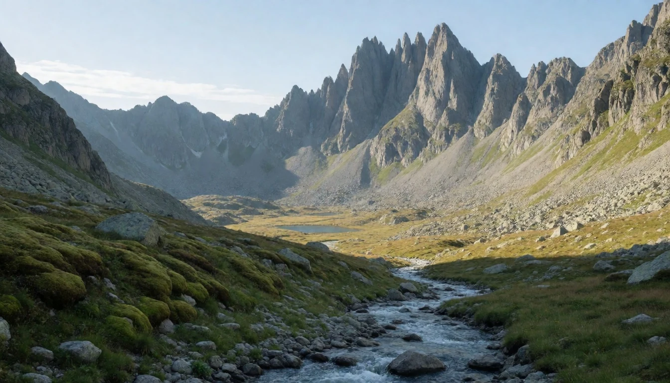
- Atnsjøen and spring light — Atnsjøen / Stor-Elvdal side
Atnsjøen brings a quieter mood compared with peak viewpoints. In shoulder seasons you often get clearer reflections and a softer colour palette, and it’s a good anchor for routes when you want mountain atmosphere without constant altitude gain.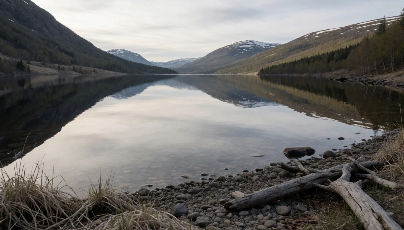
Culture
Rondane National Park is one of those places where “culture” is really about how people behave in the mountains. The park is a vehicle-free area, and hiking and camping are part of everyday use. That means the cabins run the rhythm of many trips: the Norwegian Mountain Touring Association (DNT) manages staffed cabins including Rondvassbu, Dørålseter and Bjørnhollia, with unstaffed huts further out where you may need a key.
Trails are marked with red “T” markings. They’re designed to help route you between cabin areas and towards nearby peaks close to Rondvatnet, so following the markers matters more than maps alone—especially when weather changes fast.
For visitors, the big practical cultural shift is scale. This is high mountain country with sparse vegetation and thin, easily damaged surfaces. Wildlife is part of the backdrop too: Rondane is important habitat for wild reindeer, so keep distances and avoid chasing photo opportunities that push animals to move.
The best way to enjoy Rondane respectfully is to travel lightly, plan for weather, and treat huts and trails like shared infrastructure.
Be quiet near cabins and on approach to wildlife; keep to marked routes and keep a respectful distance from reindeer.
What to wear
In Rondane, clothing is mostly about altitude, wind and quick weather changes—not style. Traditional dress isn’t the point day-to-day, but you’ll still see Norway’s cultural thread in everyday textiles: wool is the hero fabric, and you’ll notice how people value warm layers that work even when conditions feel damp or chilly.
What people actually wear now on mountain routes is practical layering: a base layer that wicks, a mid-layer (often fleece or wool), and a waterproof shell with a hood. Many walkers bring warm gloves and a hat because mornings can feel colder even when the day starts mild. Footwear matters: boots or sturdy trail shoes with grip are the norm for rocky ground and wet patches, and gaiters can help when there’s lingering snowmelt or mud.
If you’re visiting Rondane, dress for being outside for long stretches. Prioritise waterproofs, pack an extra warm layer, and plan for ground that can be slick or uneven. If you expect colder conditions at higher elevations, treat “thin air” like a reason to carry warmth, not like a reason to travel lightly. Also, keep your backpack essentials—rain cover, head torch and extra socks—because a dry day can turn quickly in exposed terrain.
Wear layers that can handle wind and wet, plus grippy waterproof footwear for rocky, sometimes muddy ground.
What to eat
- Cabin meals at DNT huts (when staffed) — At staffed DNT cabins inside Rondane
On multi-day or longer hikes, the most straightforward option is eating at staffed DNT cabins like Rondvassbu, Dørålseter and Bjørnhollia. These stops are designed to support walkers, so you can expect warming, filling mountain food rather than sightseeing-style menus.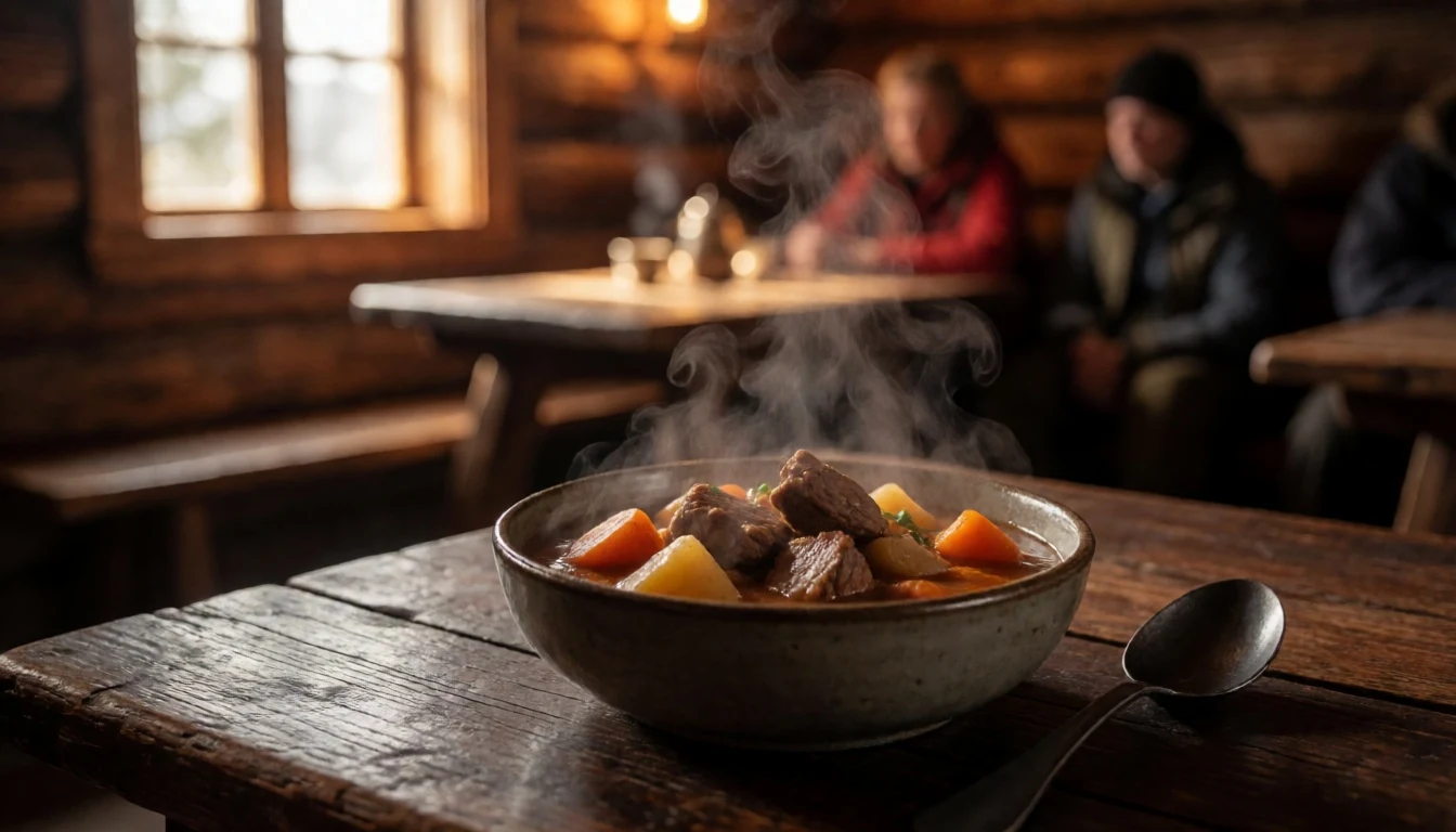
- Simple picnic-style trail food — Trail pull-offs and cabin-to-cabin rest points
Between viewpoints and trail legs, people typically keep it basic: sandwiches, wraps, or bread with spreads, plus snacks that don’t crumble in cool air. It’s the easiest way to eat without losing your pace or messing around with cooking gear mid-walk.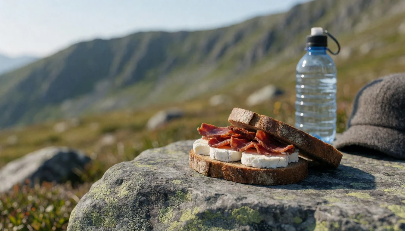
- Local bakery treats in nearby towns — Town bakeries near the main road approaches
Most hikers do a “land supply” shop before heading up—grab bread, pastries and easy breakfast items from towns around Innlandet. It’s not a single named shop kind of trip; it’s about stocking up before the mountain gets remote. - Warm soup or hot drink after a hike — Cafés and eateries near route access points
After a cold walk, a hot drink or something like soup is the common comfort pattern. Look for places in the wider region that cater to outdoor visitors, especially in the days when the weather has kept you moving rather than lingering. - Camping kitchen basics — Campsites near lodges and cabin areas
If you’re camping, expect to rely on simple cooking and re-heating. Bring items that work with a stove and that store well—instant meals, oats, tea/coffee, and long-lasting snacks—so you’re not dependent on frequent buying once you’re on the trail.
Plan it
Best time. March–April for stable cold-to-spring transitions and better daylight; late October–November for the clearer, more autumnal feel before deep winter conditions. June can be rainy and August often feels hot and humid.
How long. 3–4
Getting there. Fly into Oslo first, then connect by onward transport to the Dovre/E6 corridor; from there, drive towards Rondane via main roads and the routes that feed the high starting points. The park sits along road E6 and the Dovre railway line on the western edge, and road 27 runs along the southern/eastern edge through the Venabu plateau.
Budget. mid
Tips
- Use the high starting points (Høvringen, Mysusæter, Rondablikk) when you want more time on terrain and less time in transit
- Follow the red T-trails for cabin-to-cabin navigation and peak approaches close to Rondvatnet
- Start early to make the most of daylight in shoulder seasons, especially if weather turns
- Plan around staffed cabins (Rondvassbu, Dørålseter, Bjørnhollia) if you want warm meals and easier overnight logistics
- Carry more water and snacks than you think you need, because exposed slopes can slow you down
Etiquette
- Keep to marked areas and routes, particularly around cabins and huts
- If camping, set up away from cabins and huts—don’t pitch close to them
- Be respectful in cabin areas: store gear neatly and keep communal spaces clear
Nearby
Sources
- Wikidata Q955861 (CC0)
- Wikipedia (rev 1358709577) (CC BY-SA 4.0)
- Wikivoyage (rev 4450733) (CC BY-SA 4.0)
- Photo photos/01-digermidth-grondenfromveslesmeden.jpg (CC BY-SA 2.5)
- Photo photos/02-rondane.jpg (CC BY 3.0)
- Photo photos/03-rondane-peakpanorama.jpg (CC BY 3.0)
- Photo photos/04-rondane-smiubelgen.jpg (CC BY 3.0)
- Photo photos/05-rondane-atnsj-en-stor-elvdal-innlandet-norway-2010-09-27.jpg (CC BY-SA 4.0)
- Photo photos/06-rondane-atnsj-myrene-innlandet-norway-2009-04-14.jpg (CC BY-SA 4.0)
- Photo photos/07-rondane-tmarking.jpg (CC BY 3.0)
- Photo photos/08-rondane-national-park.jpg (CC BY-SA 2.0)


