Rishiri-Rebun-Sarobetsu National Park
Rishiri-Rebun-Sarobetsu National Park, Japan
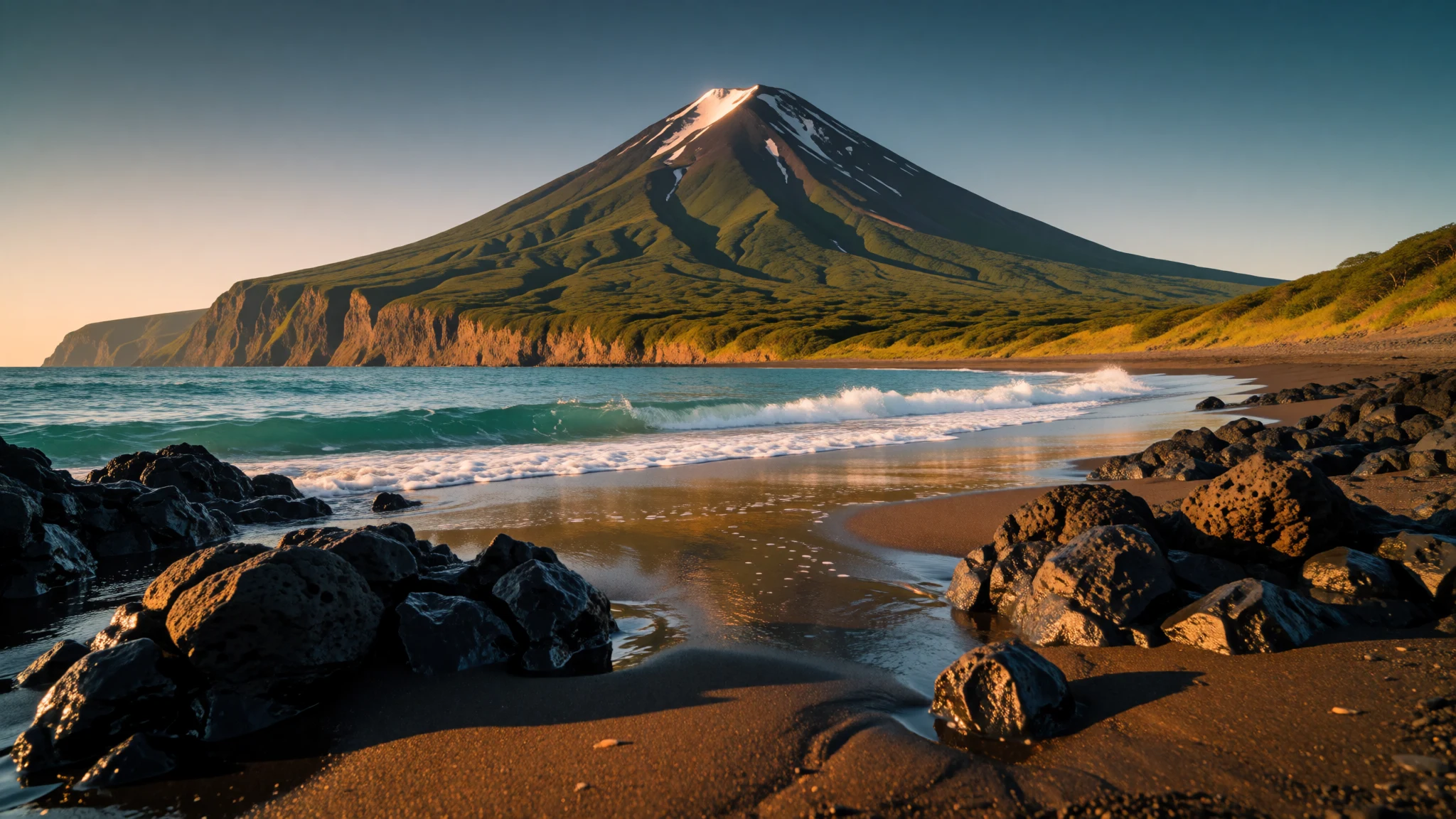
Rishiri-Rebun-Sarobetsu National Park offers a volcano rising from the sea, flower-covered island ridges and open northern wetland at the edge of Hokkaido.
The place
Rishiri-Rebun-Sarobetsu National Park (利尻礼文サロベツ国立公園) occupies the north-western corner of Hokkaido, Japan, and is really three landscapes under one name. Two are islands in the Sea of Japan; the third is a ribbon of coast and wetland on the mainland between Wakkanai and Horonobe. Together the protected areas cover about 212 square kilometres. Rishiri is essentially one extinct volcano, a symmetrical cone climbing to 1,721 metres straight out of the water, with a shoreline of about 63 kilometres around its foot. Rebun lies to the north-west, a lower, elongated island of grassy slopes and sea-cut cliffs, its high point known as Rebundake. The Sarobetsu Plain, laid down by the Teshio and Sarobetsu rivers, is a marshy floodplain with large peat bogs and a subarctic climate, and it was added to the Ramsar list of internationally important wetlands in 2005. The waters around all three areas are working fishing grounds, and the shoreline is rich in kelp, which shapes both the local economy and the local table. Visitors come mostly for alpine flowers, volcanic views and walking, in a setting that feels far more northern than most of Japan. The park has no single entrance. It is reached in pieces, by road along the mainland coast and by ferry from Wakkanai to the islands, so planning mostly means choosing which piece suits the time available.
Its story
Rishiri-Rebun-Sarobetsu National Park was designated in 1974, but people had been working these shores long before that. The island names come from the Ainu language, the tongue of Hokkaido's indigenous people, who fished and gathered along this coast. Later, Japanese fishing communities settled the shorelines, and the cold, clear sea became the base of a livelihood built around kelp, urchin and fish. That economy is still visible: drying racks and small harbours sit beside trails that now carry walkers. The geology tells an older story. Rishiri grew as a volcano out of the sea, and its cone, now quiet, is the reason the island looks so tidy from the mainland. Rebun was shaped differently, mainly by the sea cutting at its edges, and its cliffs and slopes carry alpine plants at modest height because the northern climate is so cool. On the mainland, the Sarobetsu Plain built up slowly as two rivers deposited sediment and peat gathered in the wet ground. That slow accumulation made a habitat that is rare in Japan, and the Ramsar listing in 2005 recognised its value as a wetland. Protection here has meant balancing three things at once: fishing communities that depend on the water, hikers who arrive in a short summer, and fragile ground that does not recover quickly from trampling. The park's boardwalks and marked paths are the practical result.
What to see
- Mount Rishiri — Rishiri Island
Mount Rishiri is the extinct volcano that defines the whole island, and its cone is visible from the mainland coast on clear days. Climbing it is a serious day on steep ground, so check conditions and local advice first. For most visitors, the best view is simply the mountain rising behind the harbour.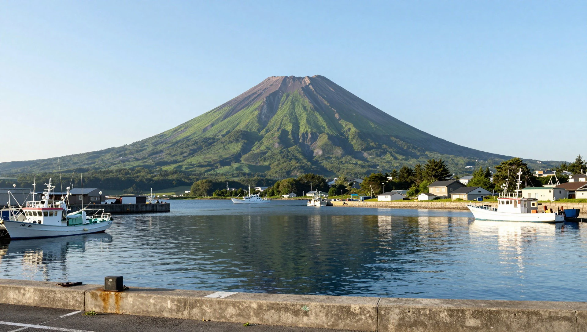
- Himenuma pond — Rishirifuji, Rishiri Island
Himenuma is a small, still pond in the woods on Rishiri, and on calm days it holds a reflection of the volcano above it. A short loop path circles the water, which makes it an easy first stop for families or anyone not ready for the mountain. Expect birdsong rather than crowds.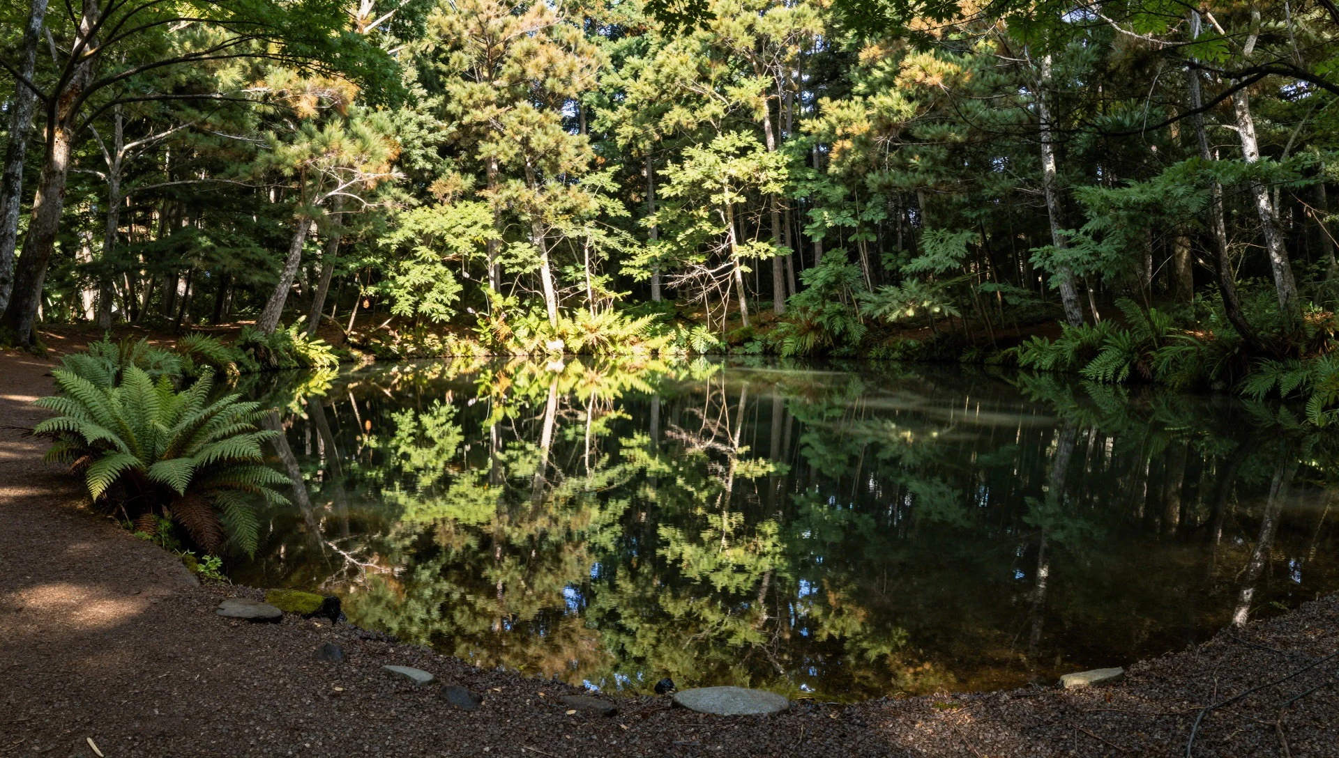
- Senhoshi Misaki Park — Near Oshidomari, Rishiri Island
Senhoshi Misaki Park sits on the coast of Rishiri, where dark lava rock meets the sea. The black shoreline shows plainly that the island is volcanic, and the park is a pleasant place to walk, watch the water and look across to the mainland on a clear day.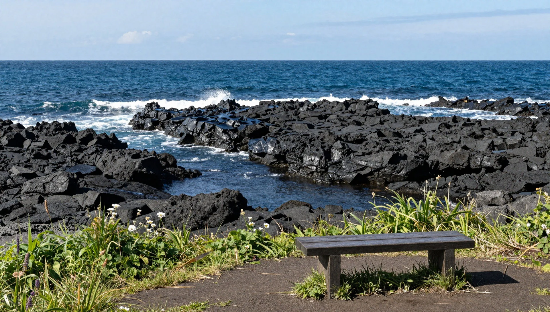
- Rebun Island flower trails — Rebun Island
Rebun is known for walking trails over grassy headlands and sea cliffs, where alpine flowers bloom at low elevation in summer. Paths range from short seaside strolls to longer day routes along the coast. Wind and sudden weather are common, so bring a layer even on bright mornings.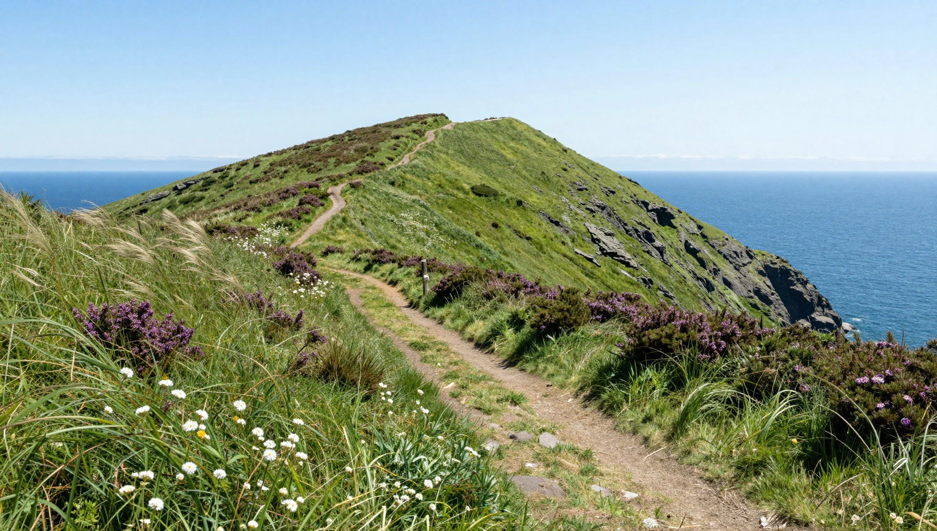
- Sarobetsu Plain — Mainland coast near Toyotomi
The Sarobetsu Plain is flat, open wetland with peat bogs, wildflowers in season and Mount Rishiri hanging on the horizon across the water. Boardwalks lead through the marsh so that feet stay dry and the ground stays undamaged. It is quiet, wide and best in early summer light.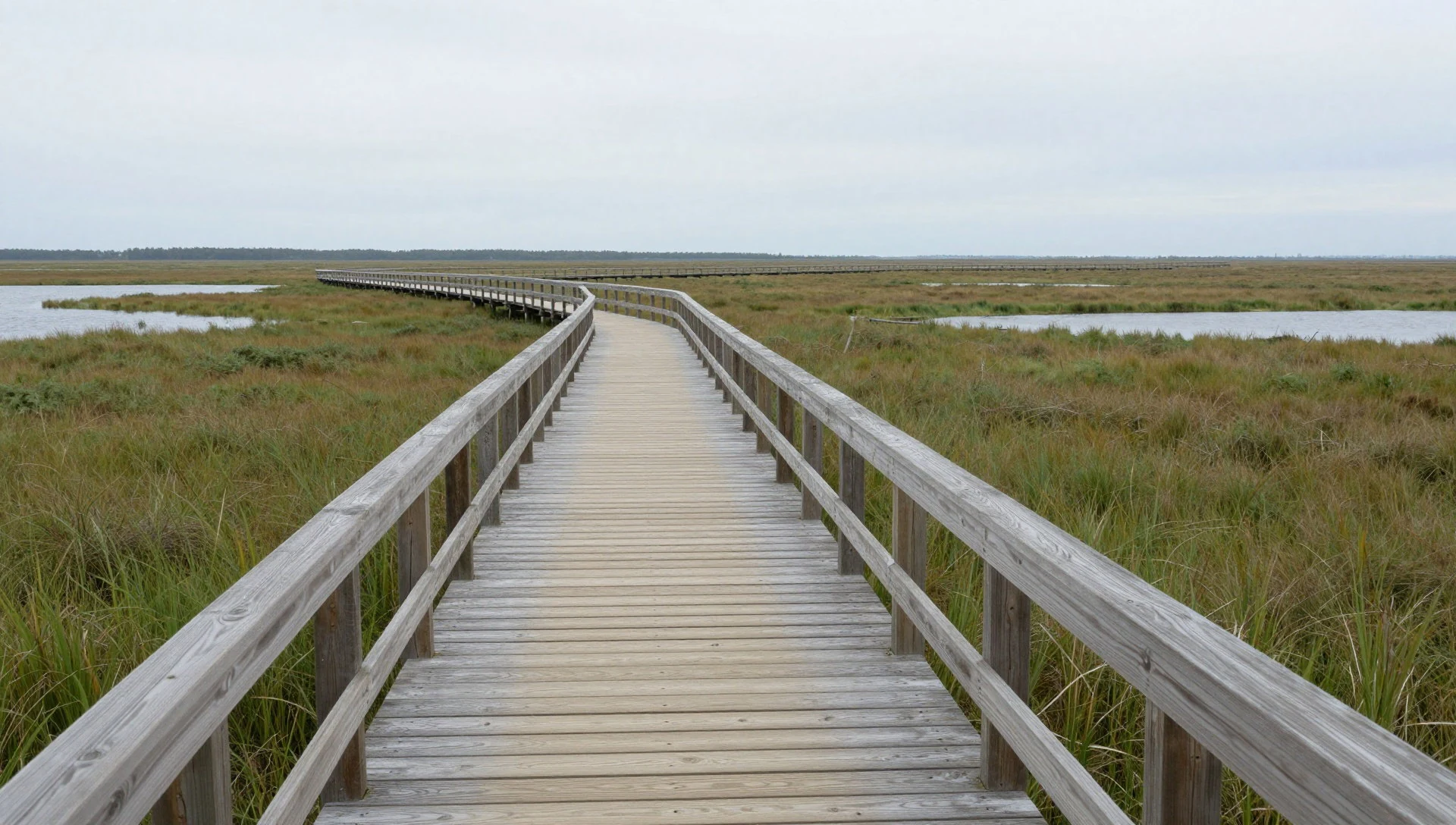
- Wakasakanai Coast — Mainland Hokkaido, near Sarobetsu
The Wakasakanai Coast is a long stretch of shoreline on the mainland, close to the Sarobetsu wetlands. It suits a slow drive and a few stops: sand dunes, grassland, wind and, on clear days, a view of Rishiri across the water. It rewards patience more than a checklist.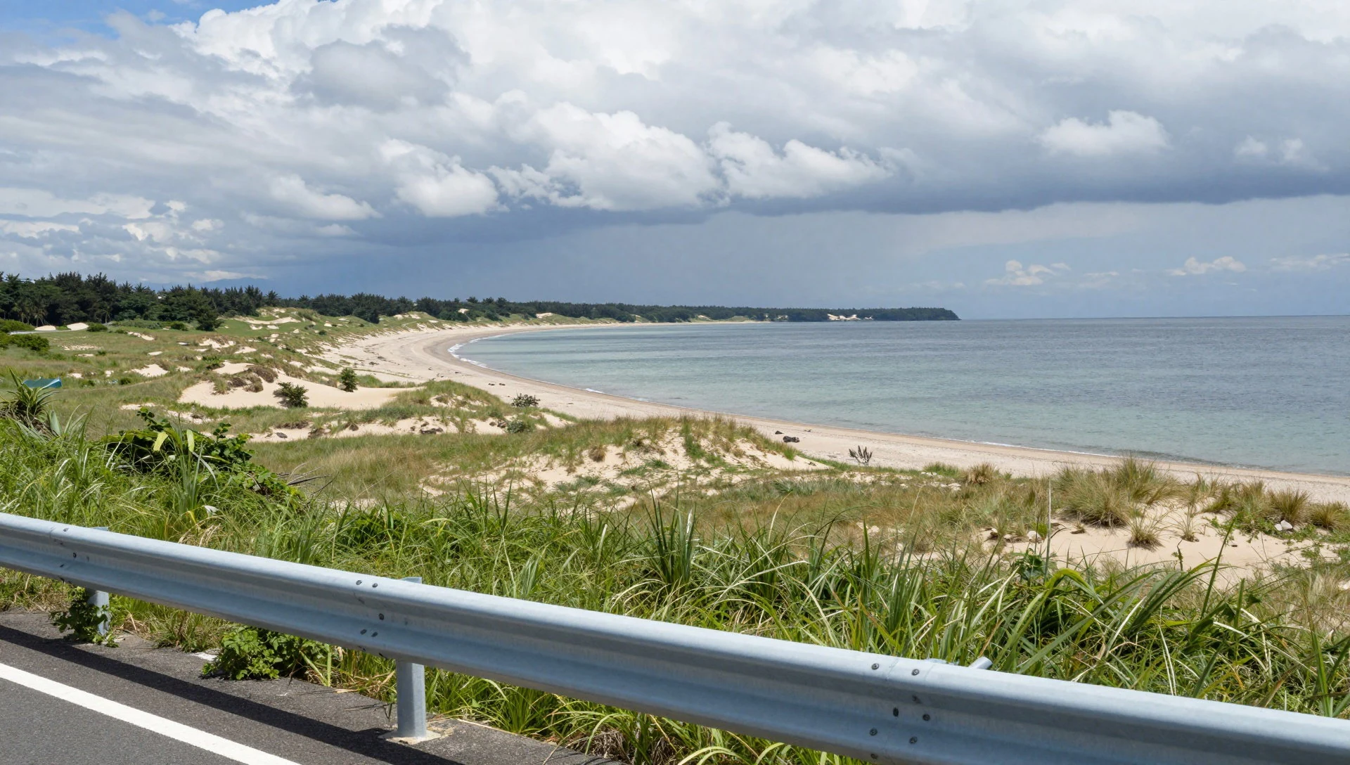
Culture
Rishiri-Rebun-Sarobetsu National Park is shaped by a fishing culture, and daily life on the islands still follows the sea. Kelp is gathered, dried and sold, and the rhythm of the harvest shapes the working year in the small harbour towns. Boats go out early, weather decides plans, and ferries to the islands are an everyday lifeline for residents as well as a way in for visitors. Underneath this runs the older Ainu heritage of Hokkaido, visible mainly in place names, where the islands' own names come from the Ainu language rather than Japanese. Island communities are small and close-knit, and hospitality is quiet and practical: simple inns, home-style meals, and local advice on weather and trails freely given. Hikers are a familiar sight in summer, so walkers are greeted warmly, and a brief nod or a quiet hello on the path is the norm. Shrines and small memorials appear in villages and by harbours, where fishing families give thanks and ask for safe seas; they are working places of worship, not attractions. Outside the short summer season the islands are far quieter, and many seasonal businesses close. Keep to the marked trails and boardwalks through the flowers and peat, and never pick plants or step off the path onto the bog.
What to wear
Rishiri-Rebun-Sarobetsu National Park lies on the traditional lands of the Ainu, whose classic garments were robes cut from attus, a cloth woven from the inner bark of elm, often decorated with bold embroidered patterns. These are now worn mainly at festivals, ceremonies and cultural events rather than every day. Among fishing families, the traditional working look was practical: waterproof layers, rubber boots, gloves and a towel or cloth wrapped around the head for the sun and wind. Day to day, people now wear plain, weatherproof clothing: windproof jackets, caps, sturdy shoes, and fleece for cool evenings. In summer, walkers on the trails tend to be well equipped, in quick-dry trousers, hats and proper boots, and visitors who dress the same way fit in easily. For a visit, think in layers. The wind off the sea is cool even on bright days, and weather on the mountain and headlands changes fast, so carry a light waterproof jacket. Choose boots or sturdy trail shoes with grip, since paths can be wet, rocky or steep. Add a sun hat and sun protection for exposed coastal sections. Village shrines and small memorials do not need special clothes, but covered shoulders and tidy dress are polite. If you use a public bath or hot spring, expect to bathe without swimwear and bring a small towel.
What to eat
- Kelp ramen — Noodle shops near the ferry ports on Rishiri and in Wakkanai
Ramen with a broth flavoured by local kelp, light and clean-tasting, is the island classic. The kelp gives depth without heaviness, and it suits cold, windy days well. Bowls like this are found in small noodle shops near the ports.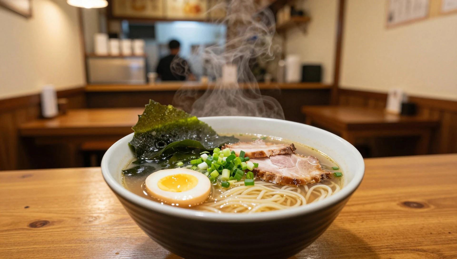
- Sea urchin rice bowl — Harbour-side eateries on Rebun and Rishiri, in season
Fresh sea urchin served over rice is a summer speciality, creamy, sweet and briny. Availability depends on the season and the catch, so ask locally rather than assuming it will be on the menu. The best bowls come straight from the boats.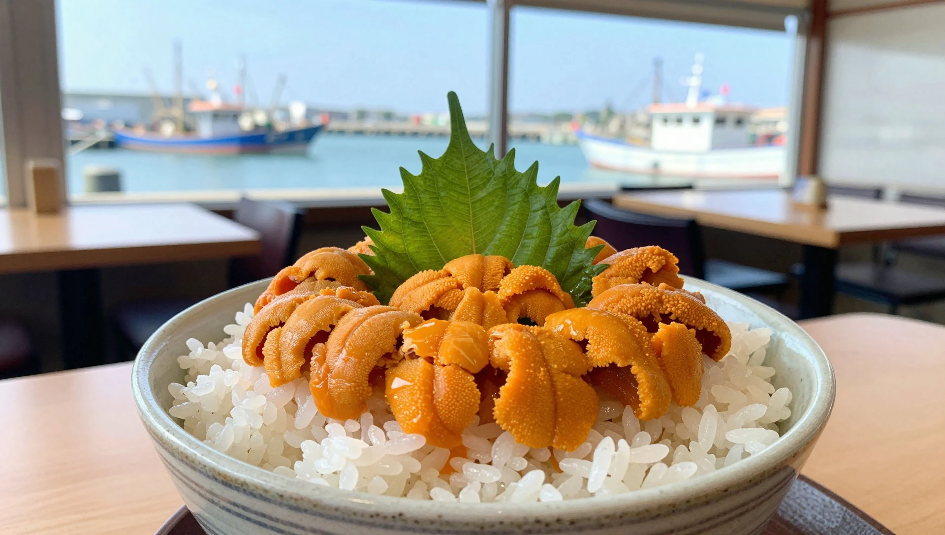
- Grilled hokke — Fishing-port eateries and family-run inns
Hokke, a cold-water fish, is split and grilled over heat until the skin crackles and the flesh turns tender. It is a simple, salty set meal, often served with rice and miso soup, and a reliable choice after a day of walking. - Simmered and dried kelp — Local shops and stalls near ferry terminals
Kelp appears in many forms: simmered in soy, shredded over rice, or dried in sheets for soup stock. It is a staple of the region's cooking and a practical souvenir that travels well. Buyers should ask about grades and uses. - Hokkaido seafood bowl — Seafood restaurants in Wakkanai and the island ports
A bowl of rice topped with seasonal sashimi, which may include scallop, salmon roe or crab depending on the catch. It shows off how close the cold sea is to the kitchen. Portions are generous, and quality depends on freshness.
Plan it
Best time. June to September is the main season, with flowers and walking at their best from early to late summer. Winters are cold and snowy, seas can be rough, and many seasonal businesses close, so the islands are far quieter then.
How long. 3–4
Getting there. Fly to Wakkanai or travel north by rail or road from Sapporo, then take a ferry from Wakkanai to Rishiri or Rebun. The mainland coastal sections, including the Sarobetsu Plain, are reached by road along the Wakkanai National Highway. Check ferry timetables on the operators' sites, and see the park page at http://www.env.go.jp/en/nature/nps/park/rishiri/index.html.
Budget. mid
Tips
- Keep a spare day in your plans, since ferries can be delayed or cancelled in rough weather
- Book island accommodation well ahead for summer, when places are small and fill quickly
- Carry some cash, as small island shops and eateries may not take cards
- Bring layers and a waterproof jacket, because wind and cloud change fast on the headlands and the mountain
- Start walks early, and check the official park page for trail conditions before a mountain climb
Etiquette
- Stay on marked trails and boardwalks to protect the alpine plants and peat
- Do not pick flowers or take plants and shells
- Take all rubbish with you and keep noise low in villages and on the trails
Nearby
Sources
- Wikidata Q1206791 (CC0)
- Wikipedia: Rishiri-Rebun-Sarobetsu National Park (rev 1383722711) (CC BY-SA 4.0)
- Wikivoyage: Rishiri-Rebun-Sarobetsu National Park (rev 5098278) (CC BY-SA 4.0)
- Photo: RRS National Park, 308 Bees (CC BY-SA 4.0)
- Photo: Mt Rishiri, Japanexperterna.se (CC BY 3.0)
- Photo: Hokkaido, Sarobetsu Plain, 欅 (Keyaki) (CC BY 3.0)
- Photo: Lava rocks, Senhoshi Misaki Park, OKJaguar (CC BY-SA 4.0)
- Photo: Rishirifuji town Himenuma, ブルーノ・プラス (CC BY-SA 4.0)


