Quttinirpaaq National Park
Quttinirpaaq National Park, Canada
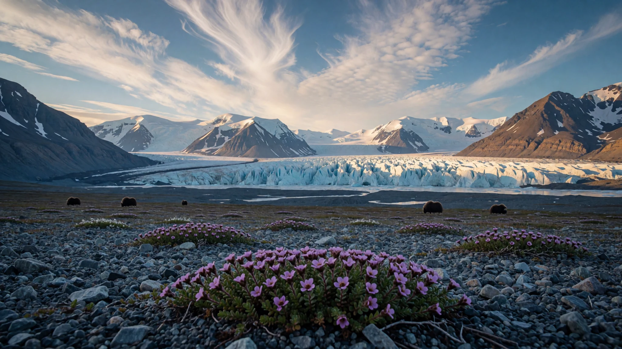
A polar desert of glaciers and ice caps at the top of Ellesmere Island, where very few people ever go.
The place
Quttinirpaaq National Park occupies the north-eastern corner of Ellesmere Island in Nunavut, in the Qikiqtaaluk Region of Canada. Its name comes from Inuktitut and is usually rendered as 'top of the world', which suits a park that is the second most northerly national park on Earth, after Northeast Greenland National Park. At 37,775 km² (14,585 sq mi) it is the second-largest park in Canada, behind Wood Buffalo, and it is bigger than Taiwan.
Most of the land is rock and ice. The highland plateaus are capped by ice caps, glaciers spill into the valleys, and icy rivers run from the melt. Precipitation is very low, so the country behaves more like a desert than the wet tundra many people picture, and that dryness is part of why it looks so stark.
Life here is sparse but specialised. Wildflowers and lichen grow close to the ground in summer, muskoxen graze the valleys, and the rare Peary caribou and Arctic hares are seen on the margins, with wolves ranging across the land. Birds nest here in summer, some travelling between the poles and others arriving from Africa and Europe. Wildlife is patchy, so treat any sighting as a gift rather than a promise.
Access is the real challenge. Beyond the Parks Canada warden stations at Tanquary Fiord, Lake Hazen and Ward Island there are no facilities at all, and the stations are reached mainly by charter aircraft. Very few people come, which is much of its appeal, but it also means you carry your own margin for error.
Its story
The story of this park begins long before anyone drew its boundary. A pass running from Tanquary Fiord through to Lake Hazen shows that Arctic people were using it for millennia, and tent rings and food caches left on the land record visits by pre-Dorset, Dorset and Thule people. The Thule are the ancestors of today's Inuit, and their traces suggest that the people who lived here knew the land intimately.
The north-eastern end of the island later became a starting point for polar exploration, and the era of expeditions left its own marks. Fort Conger, an early Arctic research base, is now looked after as a federal heritage building, a reminder that the race for the Pole once ran through this coast. Expedition parties crossed this country with little margin for error, testing their bodies against a cold that most visitors will never meet.
Conservation came later. The area was set aside as Ellesmere Island National Park Reserve in 1988. The name changed to the Inuktitut form in 1999, the year Nunavut came into being, and national park status followed in 2000. The park's modern story is therefore one of Inuit place names and government stewardship coming together, rather than of settlement, which never took root at this latitude.
What to see
- Fort Conger — Northern Ellesmere Island, north-east coast
Fort Conger was built by the US Army Signal Corps in the 1880s as a base camp for an attempt on the North Pole. Robert Peary later used it on some of his Arctic expeditions. Ask the park office how a visit might be arranged before you plan around it.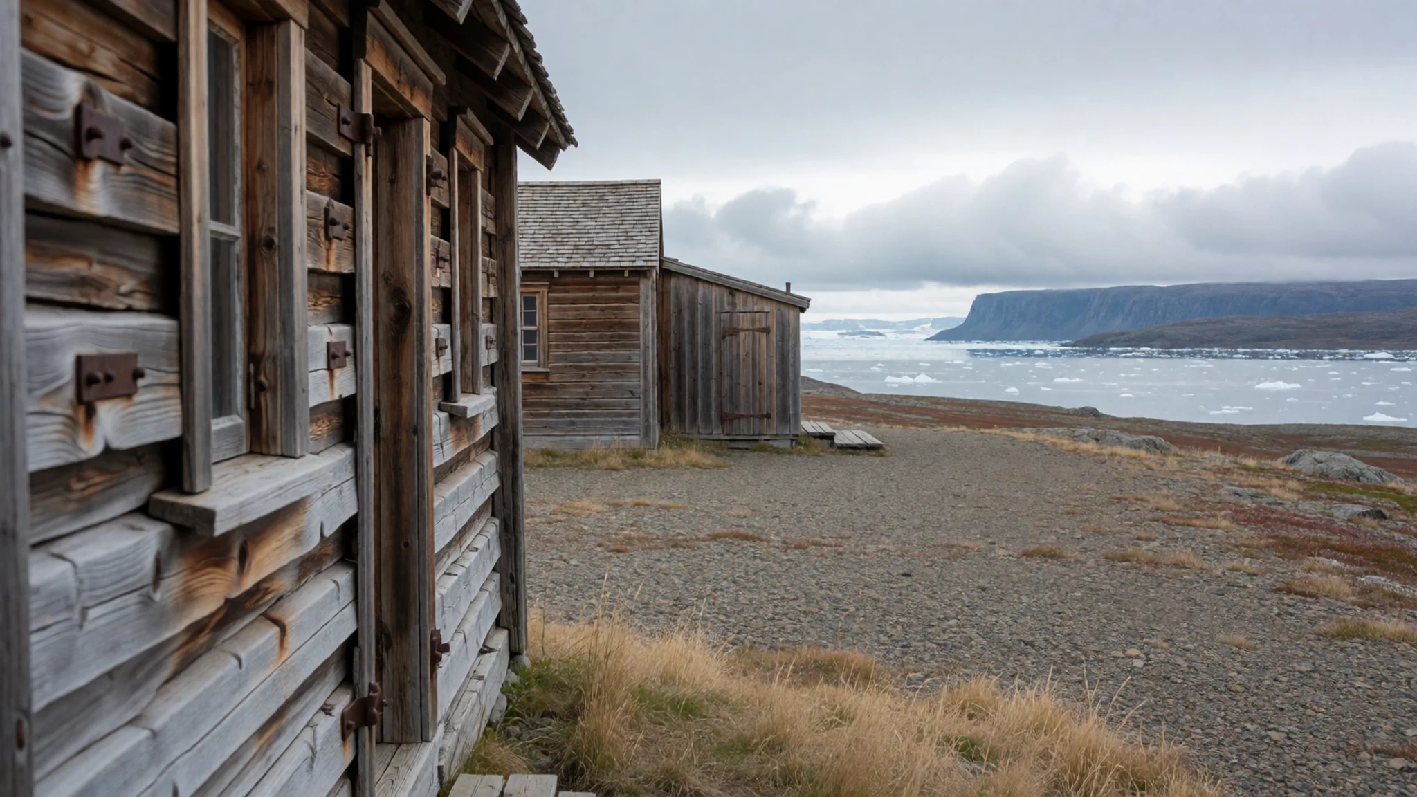
- Scylla and Charybdis glaciers — Inland glacier country
Where the Scylla and Charybdis glaciers meet, the ice pours together into a broad, cracked tangle that shows how much movement lies beneath the surface. Glacier country like this is the park's most dramatic side, and a reminder that its ice is never still. Stay back from crevasse edges unless you are roped and guided, and check conditions with the park office before you set out.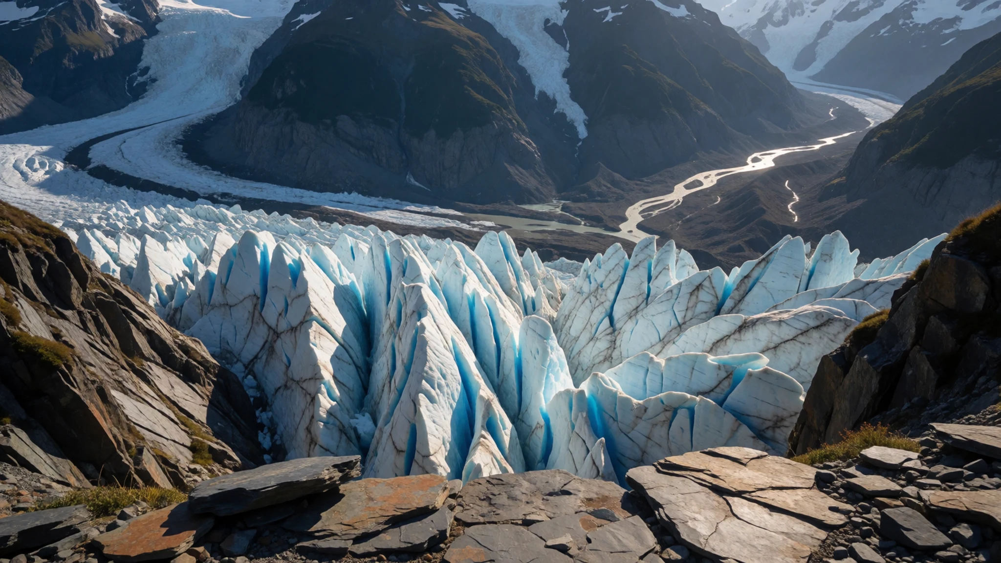
- Air Force Glacier and river valley — Central highlands, valley floor
The Air Force Glacier sits above the Air Force River valley, and hikers often follow the flat ground alongside it. The land opens into wide, cold country where the views run for kilometres and the wind can change within minutes. Carry a windproof layer even on a bright day, since the weather here turns quickly.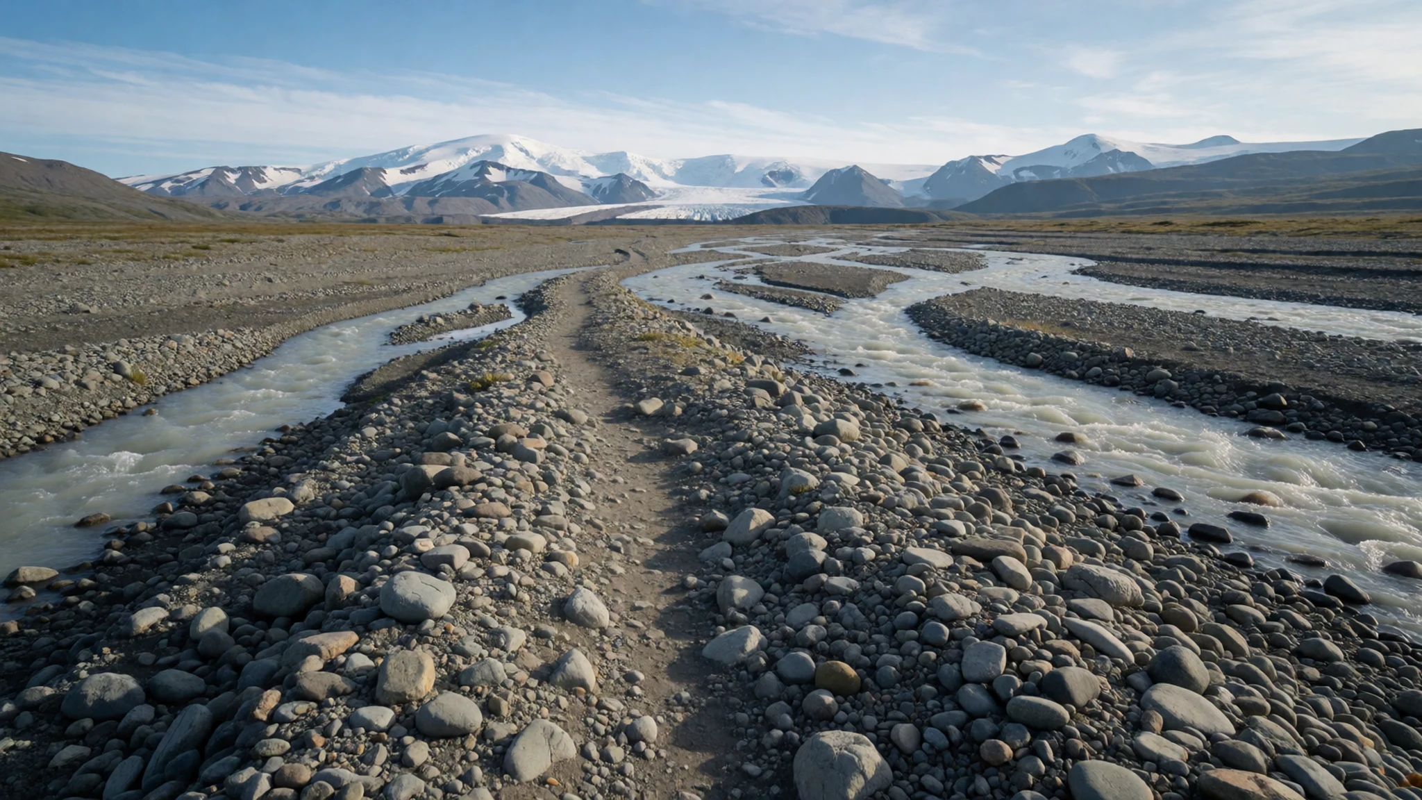
- Arctic tundra flowers — Valley margins and stony ground
In the short summer the ground is dotted with low flowers. The Arctic daisy and mountain avens are among the hardy plants that grow alongside lichen, making the most of a brief season. Step on lichen carefully and keep to rock or gravel, since a single footprint can take a long time to heal.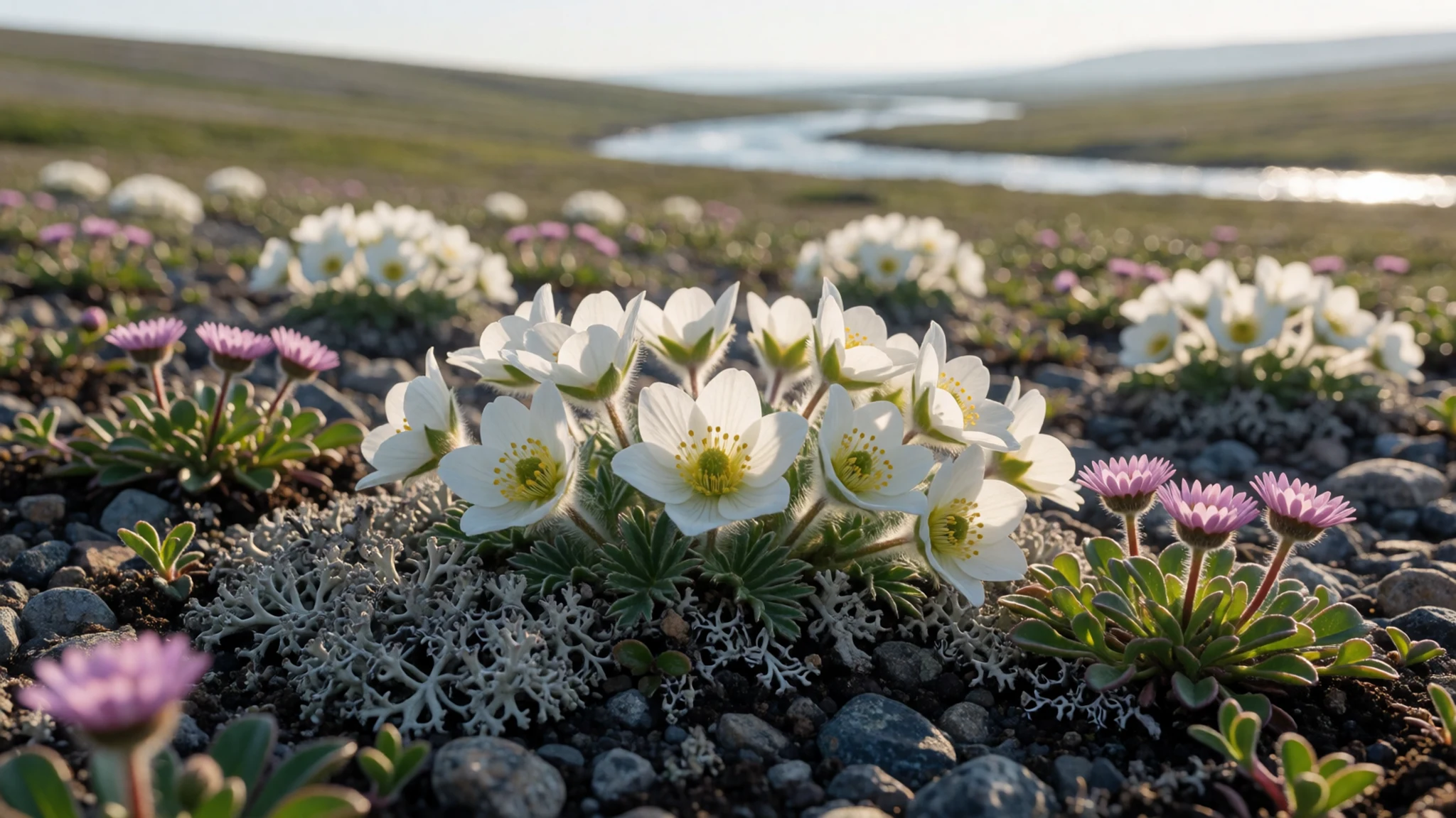
Culture
Quttinirpaaq is a wilderness, but it is also part of Inuit homeland, and the names and archaeology on the ground belong to people who knew this country for thousands of years. Inuit communities in Iqaluit and Resolute are where many visitors begin and end their journeys, so listen to local guides and park staff about where you may go and what they ask of visitors. The park's registration and orientation step is not a formality; it is how staff share the rules that protect both people and places. Many Inuit residents will have their own memories of the land, and a polite question about it is welcome in town, though not in the middle of a glacier. Tent rings, food caches and old stone shelters are traces of pre-Dorset, Dorset and Thule lives, so leave tent rings and food caches exactly as you find them, and never move stones or take anything from them.
What to wear
Quttinirpaaq National Park lies in a land where clothing has always been about survival first. Traditional Inuit dress, worn across the Arctic including this region, was built from animal skins chosen for warmth and wind resistance: caribou hide for parkas, including the fitted atigi style, sealskin for waterproof boots, and the amauti, a hooded parka with a back pouch used to carry babies. Fur ruffs and layered skin garments held warmth in while shedding wet snow. Today most people follow the same logic with synthetics and wool: insulated parkas, fleece mid-layers and shell jackets. You will see bright technical gear on expedition-style trips and little else. For a visitor, the sensible approach is a layered system: a thin wicking base, a warm insulating mid-layer, and a windproof, waterproof outer shell with a hood. Pack insulated gloves and a warm hat even in summer, glacier sunglasses or goggles for the glare off snow, sunscreen, and waterproof boots with good grip for scree and wet rock. Modesty matters less here than warmth, so dress for the cold rather than for appearance.
What to eat
- Freeze-dried expedition meals — The supply list you pack before flying north, bought in Iqaluit or southern Canada
Most visitors to the park carry their own food, and freeze-dried meals are the staple of backcountry trips. Pick packets that are light, calorie-dense and simple to rehydrate with hot water. Pack a little more than you think you need, and keep it in sealed, animal-proof containers.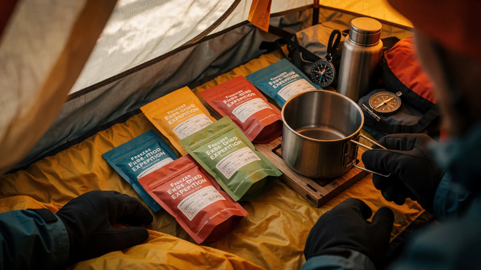
- Hot drinks and soup from a camp stove — Your own tent or shelter at any backcountry camp
With no restaurants in the park, a camp stove becomes the centre of the day. Hot chocolate, instant soup and tea make a real difference after a cold hike, and a thermos keeps them warm for longer. Treat any stream water before drinking it.
- Country food in Iqaluit — A local eatery or community meal in Iqaluit
Iqaluit is the gateway, and its traditional Inuit food is worth trying before you fly. Arctic char, caribou and muktuk are the classics, served raw, dried or boiled. Ask a local eatery what is seasonal, and be open to dishes you have not tasted before. - Bannock — A community kitchen or home in Iqaluit or Resolute, or any camp where someone fries it on a stove
Bannock is a simple flour bread fried in a pan or baked over a fire, and it appears across northern Canada. The dry mix is easy to carry into the park and cook on a stove, and it makes an honest snack with butter or jam. It is worth asking for a piece in town before flying out.
Plan it
Best time. Late spring to midsummer, when more park staff are on site and conditions are most workable; April and May suit ski touring because the weather is often steadier. Winter is dark and far colder.
How long. 9–10 for the classic loop, 3–5 for shorter hikes
Getting there. Canadian North flies to Iqaluit, the Nunavut hub, from Montreal, Ottawa and Yellowknife; another Canadian North flight takes you to Resolute, and a Parks Canada charter flies on to Tanquary Fiord.
Budget. high
Tips
- Contact the park office well in advance, and expect a mandatory orientation and registration on arrival.
- Build spare days into your plans, since weather delays flights and charters.
- Ask for a charter quote early, because solo prices move with fuel costs; check the official site for current details.
- Pack for real cold and for wet ground, as hypothermia and frostbite are constant dangers.
- Read Parks Canada's polar bear guidance before you go, since bears can appear anywhere, even on glaciers.
Etiquette
- Store all food and rubbish securely at every camp, as wildlife will raid unsecured caches.
- Keep your distance from muskoxen, which can charge when they feel threatened.
- Do not let foxes or wolves approach you, and treat animals that seem tame with suspicion.
- Practise leave-no-trace camping and carry all your waste out.
Nearby
Sources
- Wikidata Q1327341 (CC0)
- Wikipedia: Quttinirpaaq National Park (rev 1362899730) (CC BY-SA 4.0)
- Wikivoyage: Quttinirpaaq National Park (rev 5235990) (CC BY-SA 4.0)
- Photo: Scylla and Charybdis glaciers, Paul Gierszewski (CC BY 3.0)
- Photo: Air Force Glacier and valley, Ansgar Walk (CC BY-SA 2.5)
- Map of Quttinirpaaq National Park (PNG), Eric Gaba (CC BY 3.0)
- Photo: sea-ice pressure ridge, Cape Columbia, Matti&Keti (CC BY-SA 4.0)
- Photo: hiking alongside Air Force Glacier, Paul Gierszewski (CC BY 3.0)
- Photo: Arctic daisy, Ansgar Walk (CC BY-SA 2.5)
- Photo: mountain avens, Ansgar Walk (CC BY-SA 2.5)
- Photo: Ellesmere Island, Electronker (CC BY-SA 2.0)


