Quebrada de Humahuaca
Quebrada de Humahuaca, Argentina
A high, dry valley of coloured hills and ancient village sites, best seen slowly over several days.
The place
Quebrada de Humahuaca is a narrow mountain valley in the province of Jujuy, in the northwest of Argentina. It runs north to south for about 155 km, with the high Altiplano pressing in from the west and north, the Sub-Andean hills rising on the east, and warmer valleys opening out to the south. The name quebrada means a ravine or deep cleft, and the valley takes its name from the small town of Humahuaca near its northern end.
The landscape is dry and bare, a patchwork of ochre, red, grey and green slopes, with cacti on the lower ground and terraced fields along the river. The Río Grande is the main feature. In summer it flows strongly across the valley floor, while in winter it shrinks and can nearly disappear, so the look of the valley changes with the season. Villages cluster where side streams meet the river, and the road follows the valley floor from one settlement to the next, so the scenery rarely leaves the window.
Altitude shapes daily life here. The valley's recorded elevation is 3,224 m, so the air is thin, the sun is strong by day, and nights can be cold even in the middle of the year. Villages are quiet, with adobe houses, small shops and church squares. Most visitors base themselves in one or two towns and make day trips north and south, which suits the narrow geography well.
Its story
People have lived in the valley for at least 10,000 years. The earliest settlers were hunter-gatherers, and the traces they left are substantial. Later communities built stone-walled terraces on the slopes, many thought to date from more than a thousand years ago, and some are still farmed today. The terraces tie into a network of fortified villages called pucarás, built on hilltops and ridges where defence and sight-lines mattered more than convenience. Tilcara's pucará is one of the easiest to visit.
The valley became a route. Under the Inca Empire it served as a caravan road, carrying goods and people along its length. After the Spanish arrived it became a link between two colonial administrative regions, the Viceroyalty of the Río de la Plata and the Viceroyalty of Peru, so trade and officials moved along the same line of settlements. The landscape also became a battleground. Many engagements of the Argentine War of Independence were fought here, and the narrow valley made both movement and ambush important.
In more recent times the valley has been protected as a landscape and recognised as a UNESCO World Heritage Site, which has brought attention and some pressure on the towns. Its older character as a crossroads is still visible in the terraces, the fortified sites and the old routes that link the villages. Today the valley is a working agricultural area, with farming, herding and a steady flow of visitors.
What to see
- Humahuaca — northern end of the valley
Humahuaca is the valley's main town and the easiest base for a first visit. Its streets are narrow and steep, lined with adobe and stone houses, and the central square and churches have plain interiors. Mornings are the best time to walk, before the day heats up and the tour groups arrive. Take a jacket for the evenings, as the town sits high and nights cool quickly.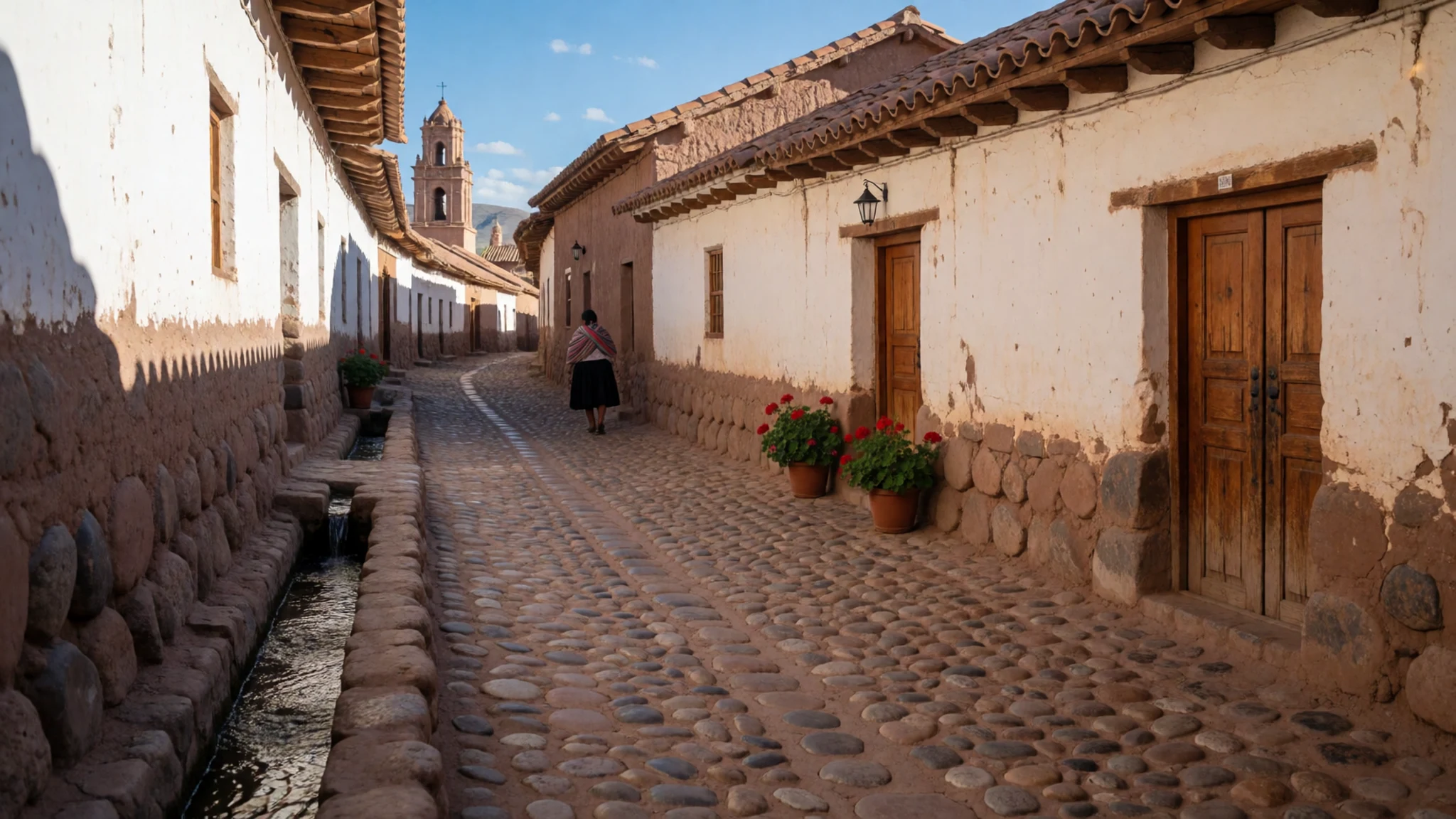
- Purmamarca and the coloured hill — central valley, near the village of Purmamarca
The village of Purmamarca sits below the hill known as the Cerro de los Siete Colores, a slope striped in ochre, red, green and grey. Early light makes the layers sharpest, and by midday the colours flatten in the glare. The village square is small, with stalls selling woven textiles and knitted goods. Expect the streets to fill with day-trip coaches from late morning.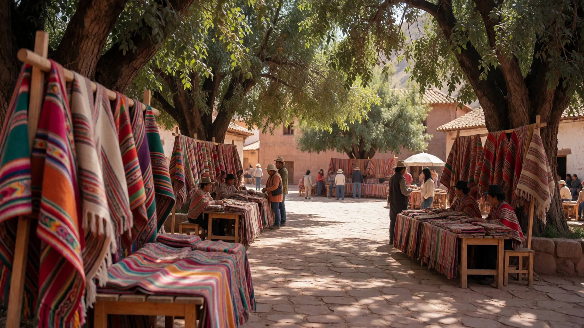
- Tilcara and its pucará — central valley, above the town of Tilcara
Tilcara has an ancient fortified village on a hill above the town, one of the pucarás that linked the valley's terraces. Paths climb through old stone walls and house foundations, with views down the valley and across the river. Go in the cool of the morning, wear shoes with grip, and carry water, since there is little shade. The town below has a lively craft market.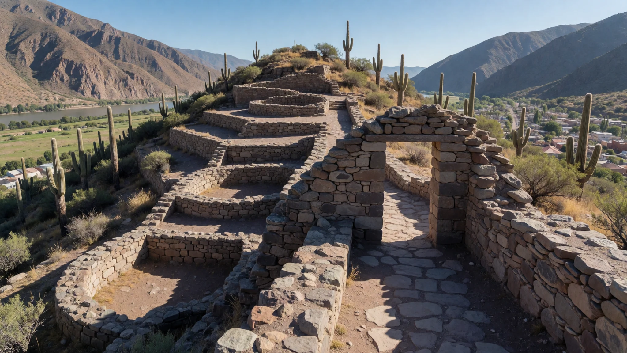
- Termas de Reyes — west of Humahuaca
Termas de Reyes lies west of Humahuaca, where warm thermal water feeds pools set among the hills. The baths are a good way to ease the strain of altitude walking. Hiking trails start from the area and climb into the surrounding country. Check the official site or the local tourist office for current opening times and pool rules before going.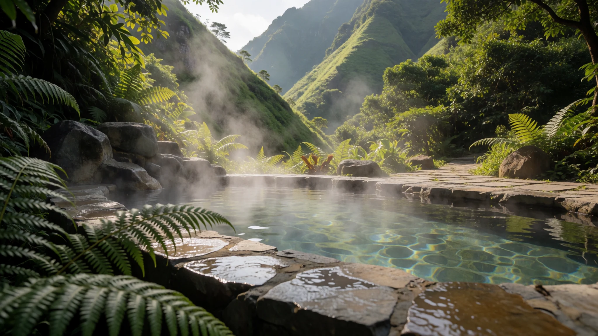
- Santa Ana — high country, reached from Humahuaca
Santa Ana is a near-empty village of adobe buildings in a high setting, reached by shared minibus from Humahuaca. Mountains rise steeply on every side, and the place feels remote even by the valley's standards. The trek from the village is a long walk through rough country, so plan water, food and an early start. Services are thin, so bring cash and whatever supplies you need.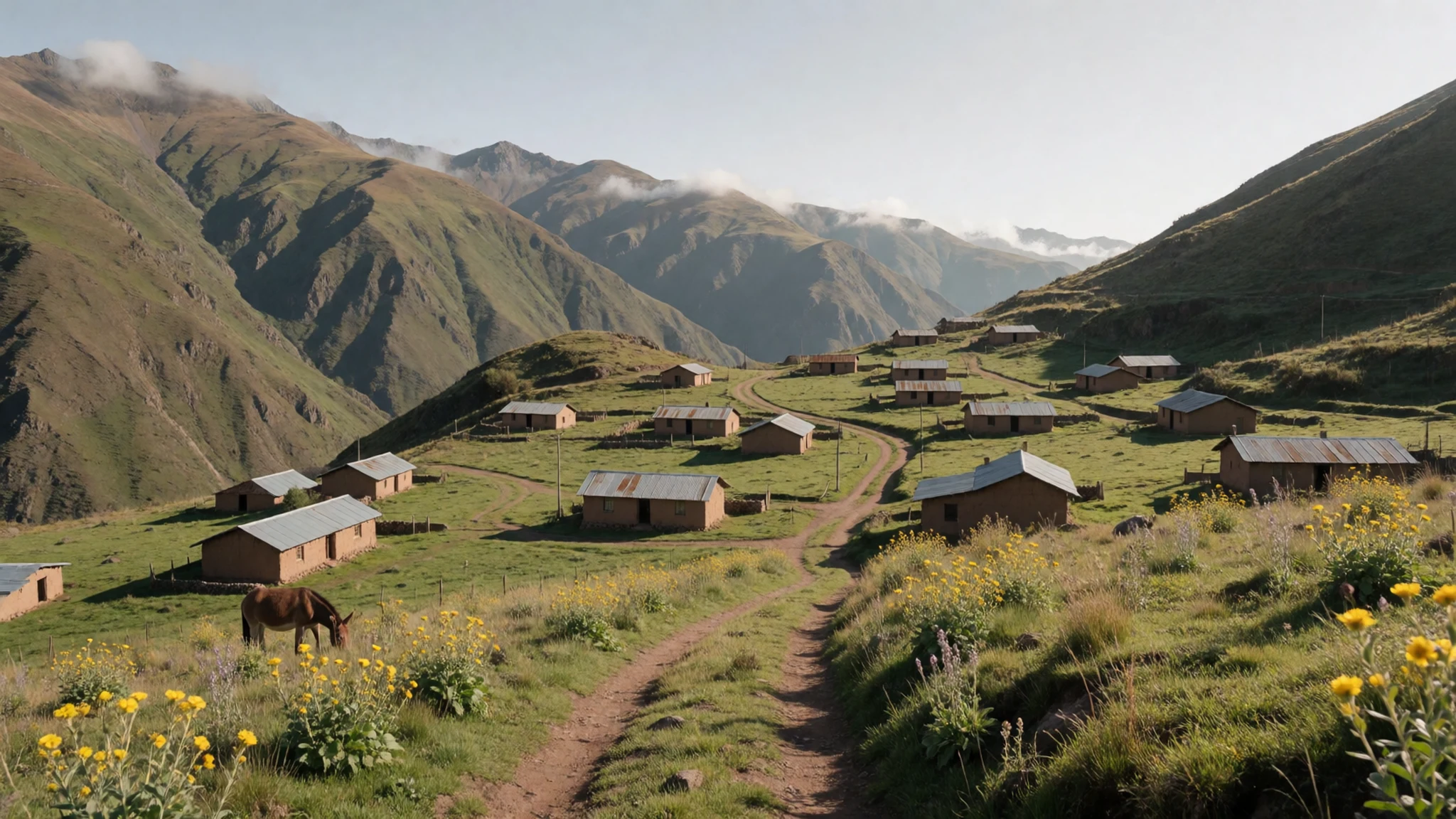
Culture
Purmamarca, Humahuaca and the villages of the Quebrada de Humahuaca sit within Andean communities where Quechua-speaking and wider Andean heritage remains part of everyday life, and many families speak Spanish alongside older languages. Festivals, church feasts and market days mix Catholic observance with older practices, including offerings to Pachamama, the earth mother, made at key moments in the farming calendar. Public ceremonies can be busy and deeply personal, so arrive as a guest rather than a spectator. Small villages are close-knit, and visitors who greet people in Spanish, pay fairly at stalls and keep to the paths between terraces tend to be welcomed. Ask before photographing people in traditional dress, particularly at a festival or a market stall, and accept a refusal without argument.
What to wear
The people of the Quebrada de Humahuaca have long worn clothes shaped by the Andean highlands, and traditional dress is still seen at festivals and market days. Women traditionally wear full pleated skirts called polleras, layered under a fitted blouse and shawl, often with a bowler hat, and the bright colours and hats are a recognisable mark of the region. Men wear woollen ponchos and knitted caps. Many people carry goods in an aguayo, a brightly patterned woven cloth tied across the shoulders or back. Materials are mostly wool from sheep and llama, with alpaca in finer pieces, and weaving is done by hand, with patterns that often carry local meaning. Now most people dress as they do anywhere in Argentina, in jeans, fleeces and trainers, and keep the traditional dress for festivals, church processions and market days. Visitors should dress in layers, since the sun is strong by day and nights are cold at altitude. A hat, sunglasses and light long sleeves help on the walks. Sturdy shoes with grip suit the dirt paths and terraces. At churches and village ceremonies, cover shoulders and knees. Bring a warm jacket for evenings, even in summer, because the valley cools quickly after sunset.
What to eat
- Empanadas jujeñas — bakeries and cafés in Humahuaca and Tilcara
Small baked pastries filled with beef, onion, cumin and sometimes egg or olive, and crimped in a distinctive way. Bakeries and small cafés in Humahuaca and Tilcara sell them warm, often in paper bags for the road. They make a good light lunch on a day of walking.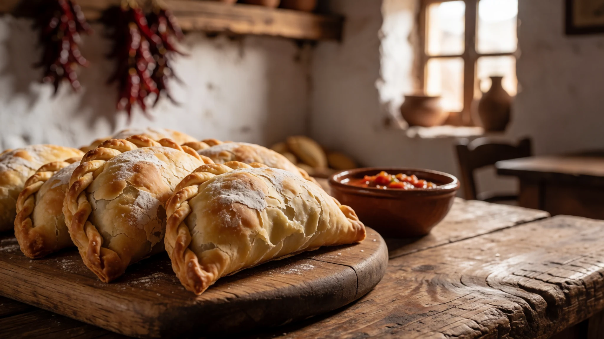
- Humitas — the morning market stalls in the valley towns
A paste of fresh sweetcorn, sometimes with cheese or onion, wrapped in corn husks and steamed or boiled. The texture is soft and slightly sweet, and it is eaten warm with the hands. Look for them at the morning market stalls.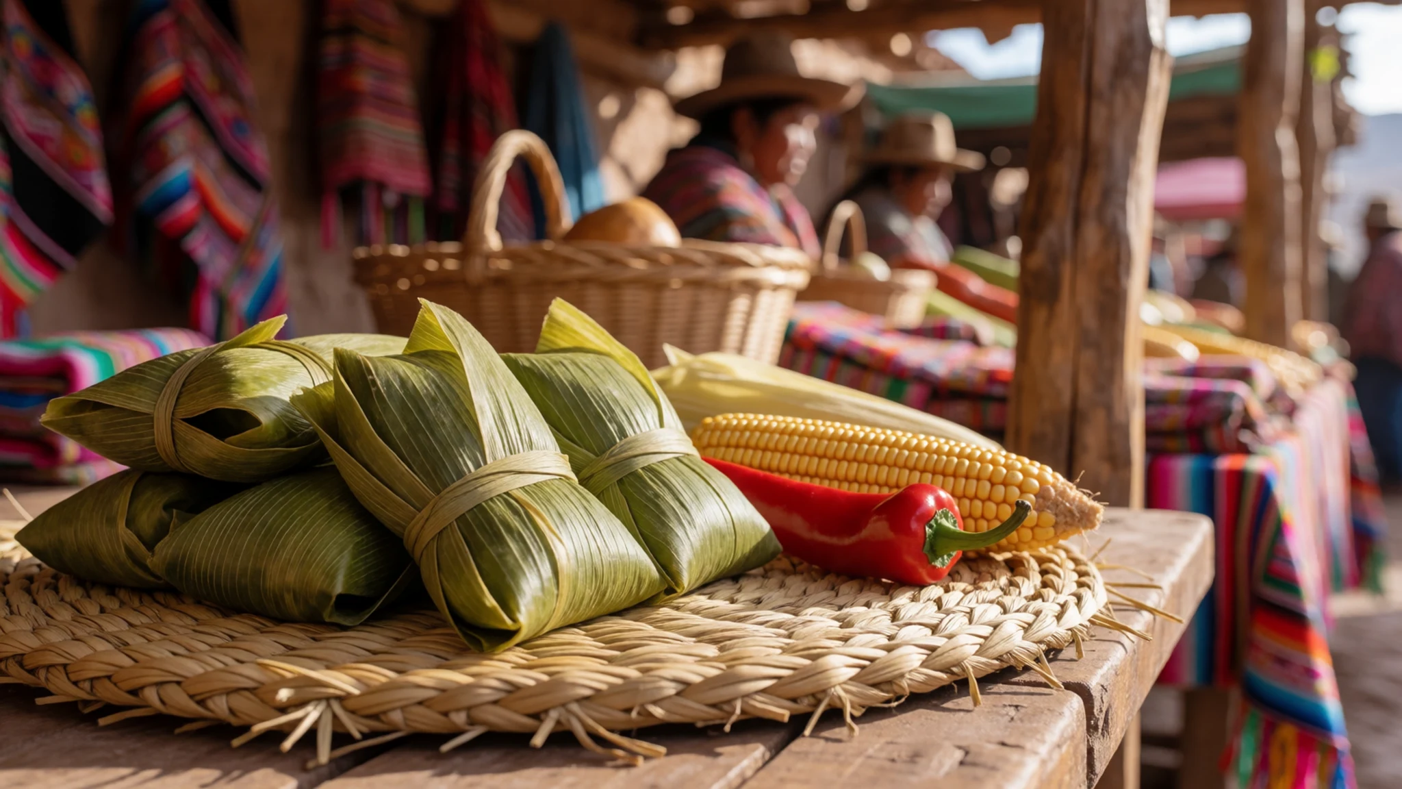
- Locro — simple eateries on the main streets of the valley towns
A thick stew built on maize, beans, squash and often beef or pork, slow-cooked until it almost sets. It is a winter dish and a common sight across Jujuy. Order it in a plain eatery on a town's main street, best on cold evenings. - Api — market stalls and street vendors in Humahuaca and Tilcara
A warm, sweet drink made from purple maize, spiced with cinnamon and clove and thickened with cornflour. It is sold hot from pots at market stalls and in winter from street vendors. The purple colour is distinctive. A cup on a cold morning is a good start.
Plan it
Best time. May to September is the dry season, with clear days and cold nights, and June and July are the coldest months. November to March is the warmer, wetter season, when the Río Grande runs high.
How long. 2–3
Getting there. Fly to the airport at San Salvador de Jujuy, then take a bus north up the valley. The bus from Salta to San Salvador de Jujuy is a short journey, so the road approach is an option too.
Budget. mid
Tips
- Book long-distance coaches a few days ahead in high season, and confirm times at the bus terminal rather than relying on apps.
- Start walks early, before the heat and the day-trip coaches arrive.
- Spend a day or two in Humahuaca to acclimatise before going higher, and drink water steadily.
- Carry cash for markets, small eateries and village shops, as card payment is not universal.
- Pack sunscreen, a hat and sunglasses, because the sun is strong at altitude.
- Arrange a shared van or driver for the side valleys, since public transport is thin off the main road.
Etiquette
- Ask before photographing people, especially in traditional dress.
- Stay on marked paths across terraces and ruins.
- Dress modestly for churches and village ceremonies.
- Keep to the edges of festival processions and do not block the route.
- Take litter away from trailheads and thermal pools.
Nearby
Sources
- Wikidata Q28061 (CC0)
- Wikipedia: Quebrada de Humahuaca (CC BY-SA 4.0)
- Wikivoyage: Quebrada de Humahuaca (CC BY-SA 4.0)
- Jujuy-Purmamarca-P3120033.JPG (CC BY 3.0)
- AR378-Quebrada_de_Humahuaca.jpg (CC BY-SA 1.0)
- Pucará de Tilcara 01.JPG (Public domain)
- Serranía de Hornocal up close near Humahuaca (CC BY 4.0)
- Cerro de los Siete Colores 05.jpg (CC BY-SA 4.0)
- 115-Quebrada_de_Humahuaca.jpg (CC BY-SA 2.0)
- 97-Pte sobre Rio Grande Quebrada de Humahuaca.jpg (CC BY-SA 2.0)
- 98-Mirador Lozano Quebrada de Humahuaca.jpg (CC BY-SA 2.0)


