Qinghai Lake
Qinghai Lake, People's Republic of China
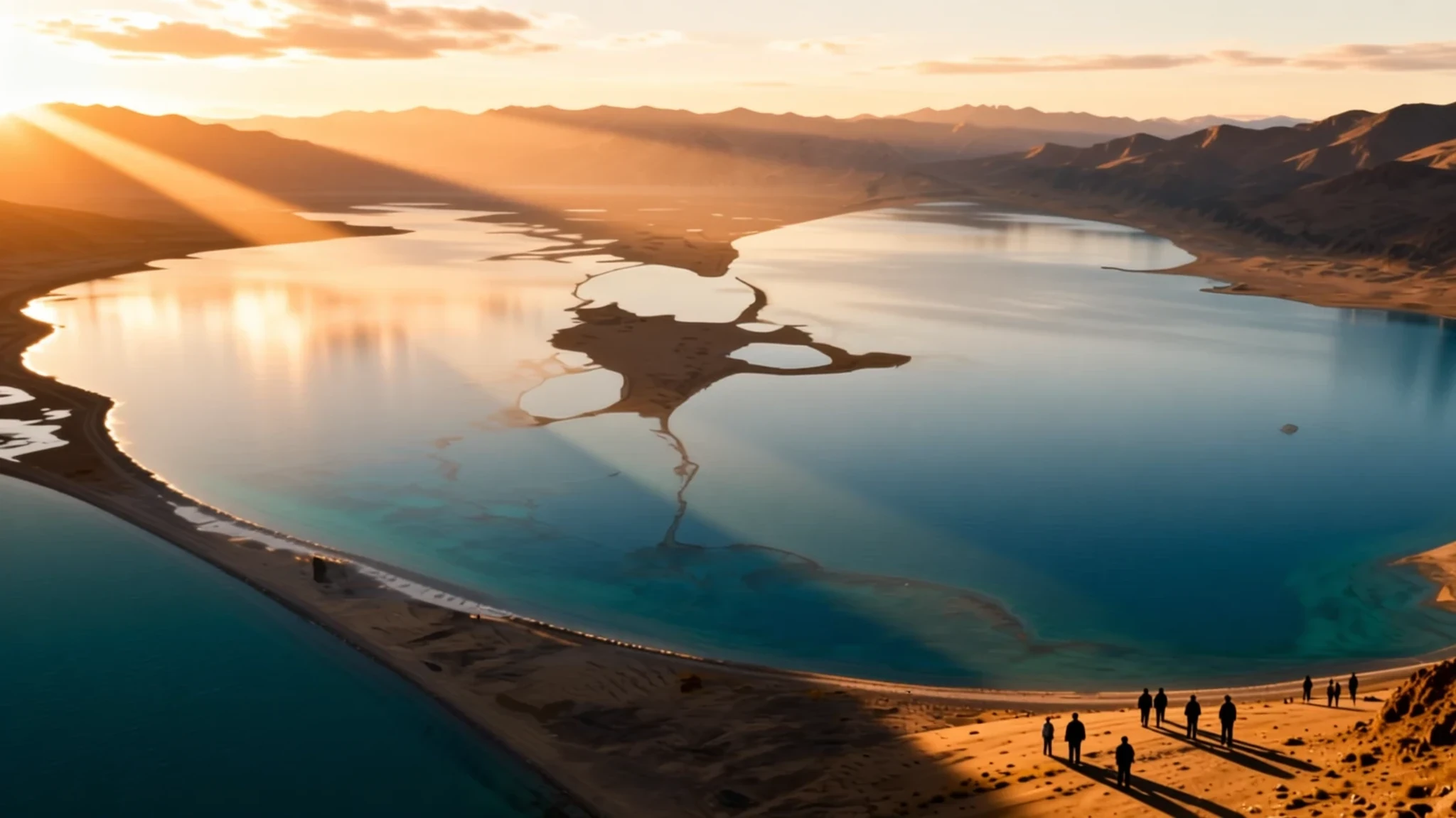
Qinghai Lake is China's largest lake, a high, salty expanse on the Tibetan Plateau that suits travellers who want wide skies, grassland and quiet shores.
The place
Qinghai Lake is China's largest lake, and it gave its name to Qinghai Province in the northwest. It lies in a hollow of the Tibetan Plateau at 3,266 metres, so the air is thin and the sun is fierce even on cool days. The lake has no outlet to the sea. Rivers run in, and the only way out is evaporation. Most of the twenty-three streams feeding it are seasonal, and five permanent channels supply the bulk of the inflow. Because evaporation outpaces that supply, the water is saline, with a salt content of about 1.4 per cent. That is well below the sea but far above fresh water, and the lake is strongly alkaline.
The lake's size has shifted over the last century. It shrank for much of the twentieth century and has grown since the early 2000s, so older maps and photographs may show a different shoreline. Its surface area is about 4,300 square kilometres, and for its extent it is shallow, with an average depth of about 21 metres.
The lake sits about 100 km west of Xining, the provincial capital, and most visitors reach it by road from there. Off the western side, a tip of land ends in two small islands known together as the Bird Islands, where birds gather in season. The shore is open grassland, dotted with the tents of herding families and crossed by dirt tracks. Expect wind, sudden rain and a sky that feels close enough to touch.
Its story
Qinghai Lake's story runs back well beyond the modern province. In the Han dynasty, Han Chinese settled the Xining valley to the east, which brought the lake within reach of the settled world long before it became a destination for pilgrims from further afield. In the seventeenth century, Mongol-speaking Oirat and Khalkha groups moved into the region and came to be called Qinghai Mongols. In 1724 they rose against the Qing court. After the revolt was put down, the Yongzheng Emperor ended the region's autonomy and placed it under direct rule. Manchu and Han settlers were sent in to dilute the Mongol presence.
Tibetans also lived around the lake. The Qing kept an administrative line, drawn from the time of Güshi Khan, that separated the Dalai Lama's western realm from the Tibetan-inhabited eastern areas. Under Nationalist rule, Han people formed the majority in the province, yet Hui Muslim officials held much of the government. A well-recorded ceremony at the lake shows how mixed this world was. Officials, Han and Muslim participants, and Kazakh guests bowed to a portrait of Sun Yat-sen and to the god of the lake, and they made offerings to both.
After the 1949 revolution, refugees from the Anti-Rightist Movement of the 1950s settled west of the lake. The lake's human history is therefore one of shifting authority rather than a single continuous story. Geology adds a longer timeline. The lake was cut off from the Yellow River roughly 150,000 years ago, and the basin has grown saltier ever since.
What to see
- Bird Island (Niaodao) — Western shore, at the tip of the peninsula
Bird Island, known in Chinese as Niaodao, is the lake's best-known wildlife stop. It is a breeding ground for migratory birds, and the tip of the western peninsula, with its two small islets, is where the colonies gather in the warmer months. Stay on the marked path, keep your distance from nests and birds, and do not walk onto the shingle. Binoculars will show you more than a close approach would.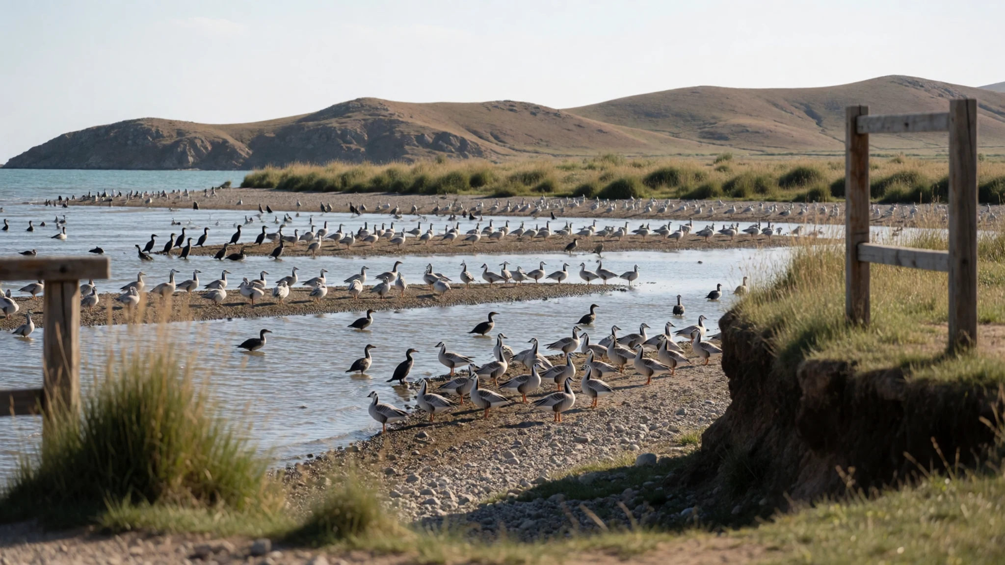
- Shaobei Hu — A smaller lake to the north-east of the main lake
Shaobei Hu lies north-east of the main lake and is often recommended as a quieter alternative to the busier shoreline. Tent camping is offered on its shore, which makes it a practical overnight option away from the towns. Check road conditions and transport before you go, since the roads can be rougher than the main loop and facilities are basic. Bring water, warm layers and cash, as there is little on the spot.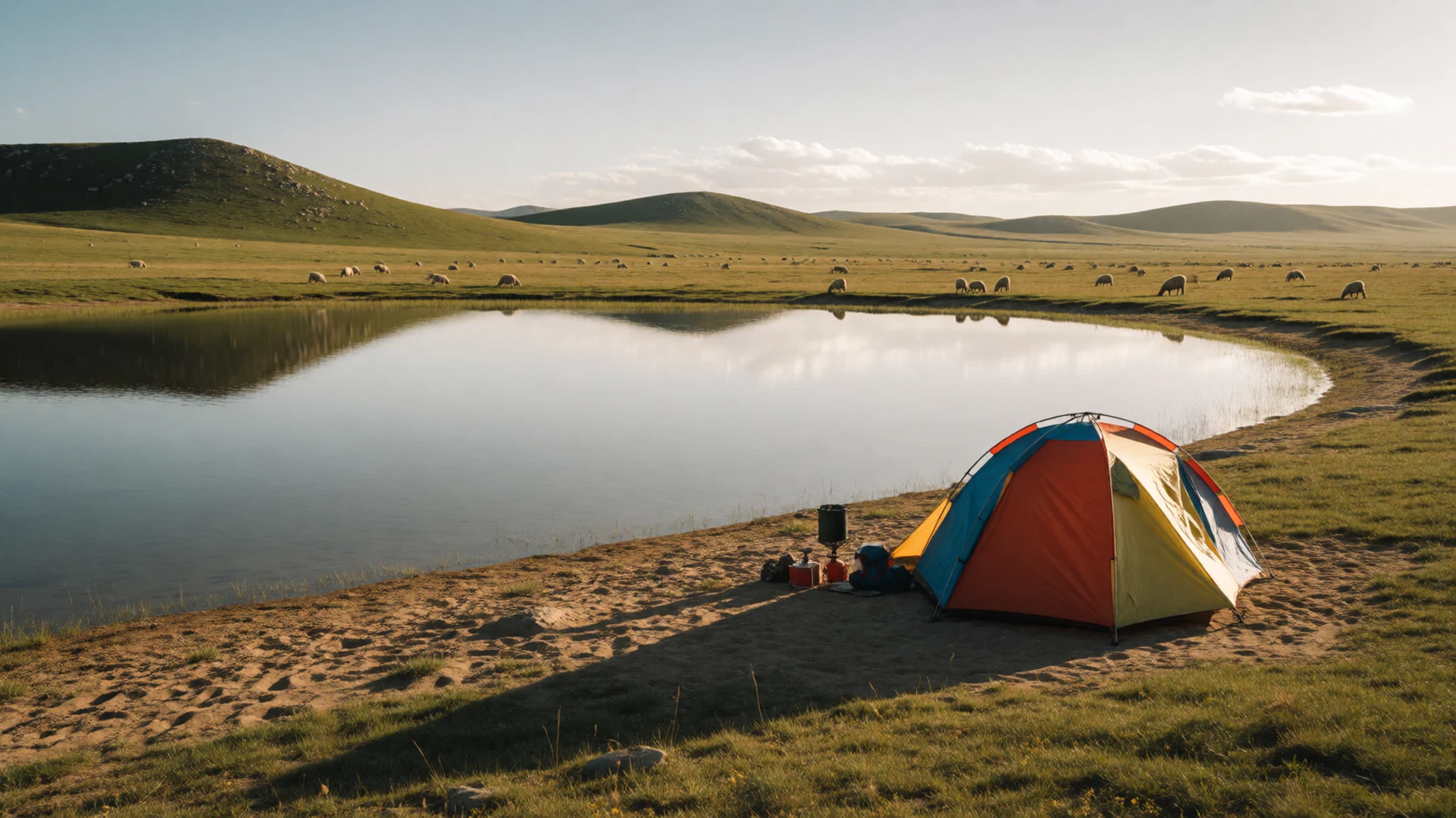
- Mahādeva, the Heart of the Lake — An island in the western part of the lake
Mahādeva, the Heart of the Lake, lies in the lake's western reaches as an island, with a temple and a few hermitages. Historically it was home to a Buddhist monastery, and the temple was used for religious ceremonies. In summer no boats ran, so monks and pilgrims reached it only when the lake froze in winter. Do not assume you can visit. Ask locally about access before you plan a trip, and treat the island as a place of worship.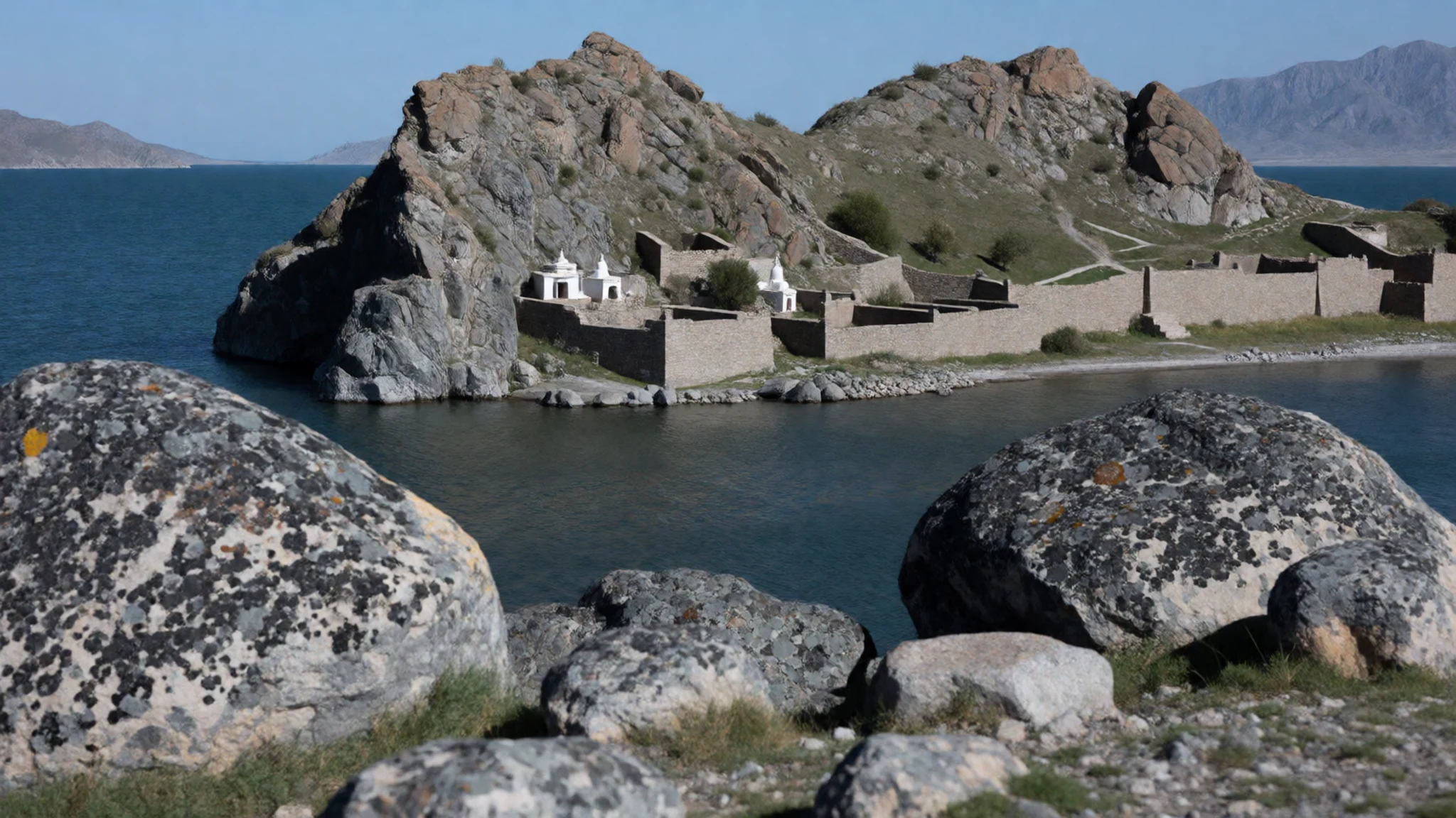
- The lakeside cycling loop — The full lake circuit, usually started at Xihai on the east side
The lake road is one of China's more popular cycling routes. Xihai, on the east side, is the usual starting point for visitors coming from Xining. Mountain bikes can be rented in most lakeside towns. The road is generally good, but some sections call for wider tyres than a standard road bike has. Plan the loop as a multi-day ride at a relaxed pace, and carry more water and food than you think you will need.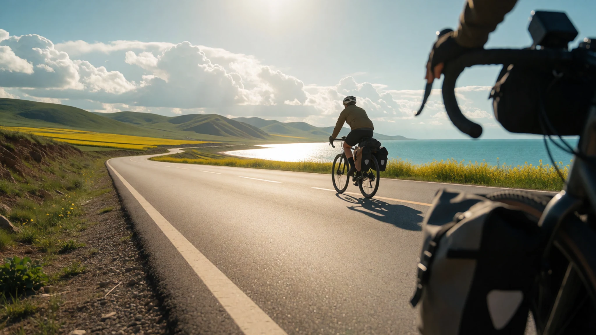
- Heimahe on the southern shore — Southern shore, where buses and the ferry arrive
Heimahe is the usual arrival point on the southern shore, where westbound buses drop passengers. A ferry links it with Gangcha on the northern side. Accommodation is available here and at Hudong Muchang, and the youth hostel south of the lake is a useful base. Expect simple rooms, check facilities before booking, and arrange onward transport early in the day.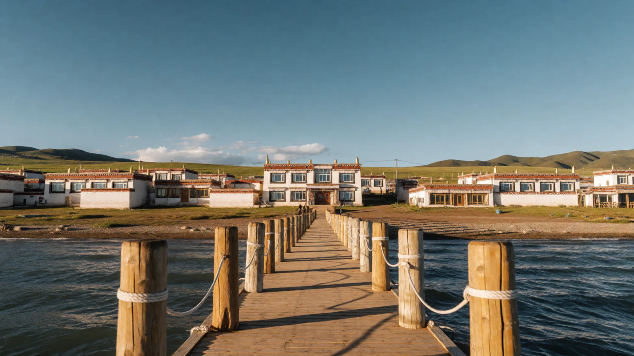
Culture
Qinghai Lake is a sacred place for Tibetan Buddhists, and the clearest expression of that is the circuit of the lake made by pilgrims on foot or on horseback. Some pilgrims time their journey for a particular year in the Tibetan calendar, and the trip can take many weeks rather than days. Walkers and riders follow the shore, camping where they can. The island of Mahādeva, the Heart of the Lake, sits at the centre of this religious geography. Its monastery and hermitages drew monks and devotees, who reached it across the ice in winter, when no boat could cross. Tibetan herding families keep tents along the shore, and many welcome visitors, but they expect courtesy in return. Ask before photographing anyone, and when you pass pilgrims or prayer wheels, step aside rather than walking between them and the people turning them.
What to wear
The traditional dress around the lake is the Tibetan chuba, a long robe made from wool or felt and belted at the waist. Herders and pilgrims wear it, and its sleeves can be knotted or left hanging. In cold weather the robe is pulled up over the body like an insulated coat. Sheepskin and felt are common materials for outerwear, and cotton is used for everyday layers. Women may wear brightly coloured aprons and headscarves. Hui Muslim communities in and around Xining often wear white caps and modest long clothing. Today most people dress much as they would elsewhere in China, in jeans, padded jackets, trainers and sun hats. Traditional robes are worn for festivals, markets and daily work on the grassland.
What a visitor should wear: the altitude brings strong sun, cold nights and sudden wind, so dress in layers. A thermal base, a fleece and a windproof outer shell cover most conditions. Bring a warm hat, sunglasses and high-factor sunscreen. Choose sturdy closed shoes for gravel shores and muddy tracks. At monasteries and pilgrimage sites, cover shoulders and knees, and take off hats where you are asked to.
What to eat
- Suyou cha (Tibetan butter tea) — Tea stalls and herder tents along the shore road
Salted butter tea is the drink of the grassland. Tea leaves, butter and salt are churned into a thick, savoury brew that many visitors find an acquired taste. It is poured from a big kettle in tents and small eateries, and it is usually served alongside tsampa.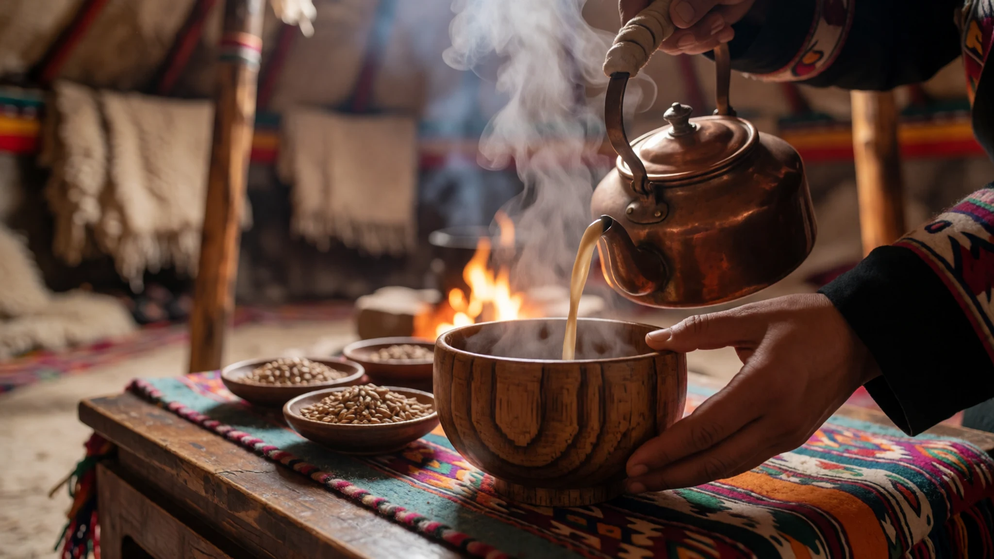
- Tsampa — Markets in Xining and shops in the lakeside towns
Tsampa is roasted barley flour, mixed with butter tea into a dough and eaten with the fingers. It is sold in bags at markets and shops, and it keeps well, which makes it a good carried snack. It is filling, slightly nutty and easy to try on a long day out.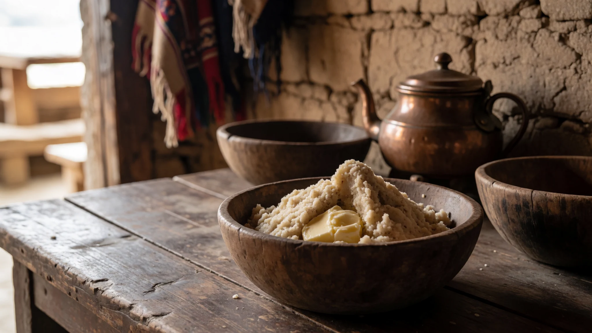
- Hand-pulled noodles with lamb — Hui noodle shops in Xining and the lakeside towns
Hand-pulled noodles, served in a broth with lamb, are a staple of the Hui noodle shops in Xining and the towns around the lake. The dough is stretched by hand to order, so the noodles arrive fresh. Ask for a mild broth if you prefer less pepper, and eat it hot. - Yak meat dishes — Eateries in Heimahe, Gangcha and other lakeside towns
Yak meat appears in stews, dried strips and dumplings across the grassland. Cuts and preparation vary, so ask what is on offer before ordering. Choose an eatery that looks busy and clean, rather than a roadside grill with food left out. - Mutton skewers — Evening grills in Xining and the lake towns
Mutton skewers, seasoned with cumin and chilli, are cooked over charcoal at evening grills. They are a cheap and filling snack, and they are best eaten fresh from the grill. Ask for them with less chilli if you are not used to heat.
Plan it
Best time. June to September, when the grassland is green and the shore roads are open. The lake freezes in winter, and nights stay cold even in summer, so pack warm layers whatever the month.
How long. 2–3
Getting there. Fly or take the train to Xining, then catch a westbound bus, as most pass the lake. Ask to be let off at Heimahe on the south shore or Gangcha on the north. The government also runs direct buses, so check current timetables before you travel.
Budget. mid
Tips
- Agree the taxi fare before you set off, because drivers in Xining often try to turn short trips into day trips.
- Check the official site for the scenic-area ticket and the current direct bus times before you travel.
- Spend a day acclimatising at Xining or on the shore, since the altitude makes walking and cycling tiring.
- Carry cash and water, as facilities are basic outside the towns.
- Pack sun protection and warm layers, as the weather can change quickly.
Etiquette
- Keep your distance from birds and their nesting areas, and do not touch birds or their droppings.
- Ask before photographing herders, their families or their tents.
- Stay on marked paths and keep off the shingle near the bird colonies.
Nearby
Sources
- Wikidata Q201294 (CC0)
- Wikipedia, Qinghai Lake (rev 1371829846) (CC BY-SA 4.0)
- Wikivoyage, Qinghaihu National Park (rev 4892252) (CC BY-SA 4.0)
- Photo 01-.jpg, 三猎, via Wikimedia Commons (CC BY-SA 4.0)
- Photo 02-txu-pclmaps-oclc-22834566-g-8b.jpg, Defense Mapping Agency, via Wikimedia Commons (Public domain)
- Photo 03-qinghai-lake-2016.jpg, Sergio Tittarini, via Wikimedia Commons (CC BY 2.5)
- Photo 04-bird-island-qinghai-lake.jpg, doreen, via Wikimedia Commons (CC BY 2.5)
- Photo 05-rapeseed-at-qinghai-lake.jpg, Jucember, via Wikimedia Commons (CC BY 3.0)
- Photo 06-qinghai-lake-2016-05.jpg, Sergio Tittarini, via Wikimedia Commons (CC BY 2.5)
- Photo 07-qinghai-lake-2016-01.jpg, Sergio Tittarini, via Wikimedia Commons (CC BY 2.5)
- Photo 08-panoramio.jpg, Tiger@西北, via Wikimedia Commons (CC BY 3.0)


