Pirin National Park
Pirin National Park, Bulgaria
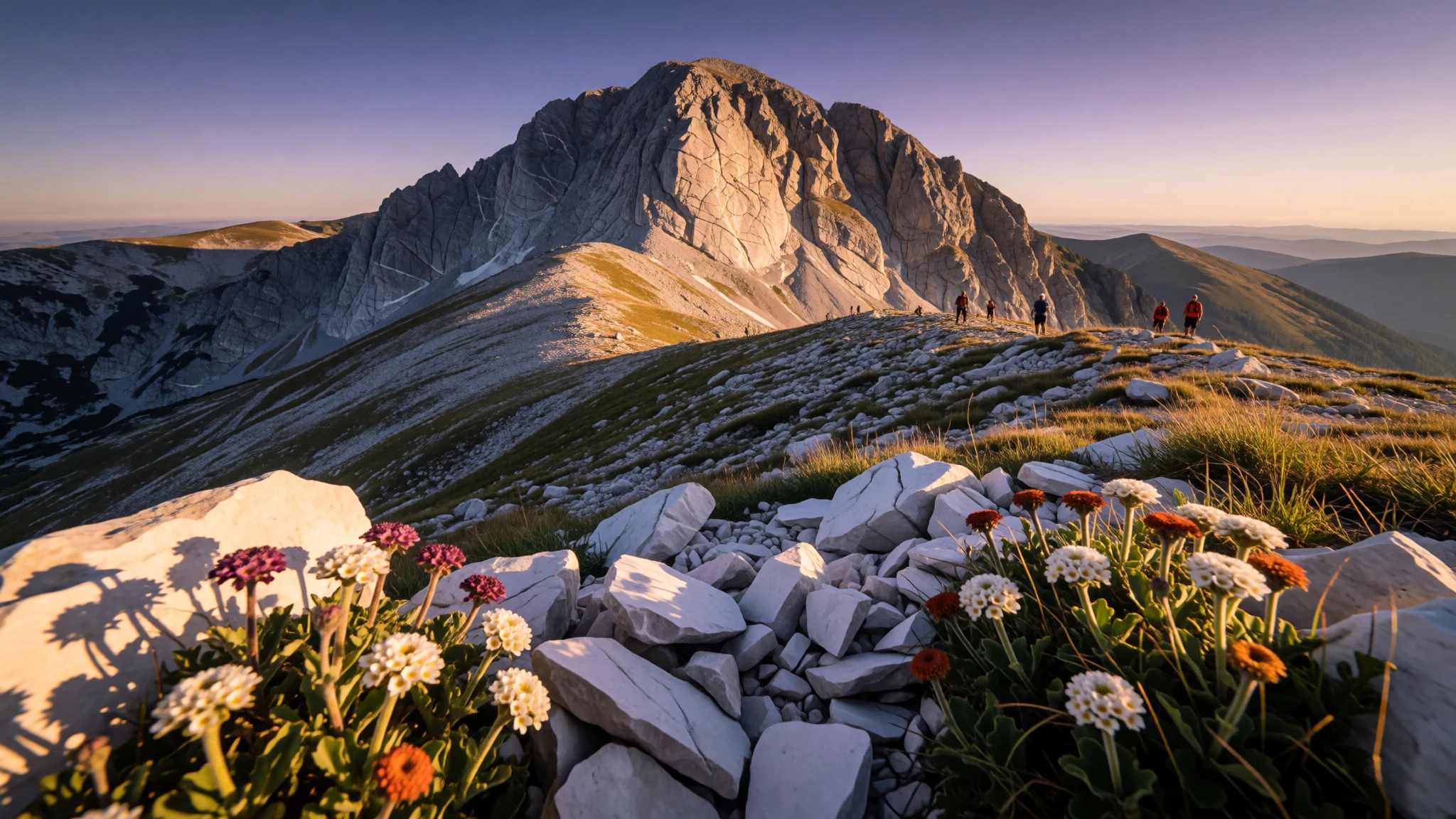
Pirin National Park delivers big mountain hikes and glacial-lake scenery without the big-ticket crowds of Western Europe.
The place
Pirin National Park (Национален парк „Пирин“) covers most of the Pirin Mountains in south-west Bulgaria and was established in 1962. Originally called Vihren National Park, it’s now the country’s state-protected wild heart: a place of steep valleys, forests, ridges and high ground that feels remote even when you’re only a short drive from the main trailheads.
The park sits in Blagoevgrad Province across the territory of several municipalities (including Bansko and Sandanski). Inside the protected area there are no settlements, but there are protected corners of habitat such as the Bayuvi Dupki–Dzhindzhiritsa and Yulen nature reserves. Pirin is also recognised by UNESCO, which helps explain why the focus stays on conserving ecosystems rather than building big visitor infrastructure.
What people come for is terrain you can actually walk. Pirin is known for glacial lakes—many of them found in cirques—with Popovo Lake among the biggest. The landscape also includes high peaks and sharp geological shapes, including around Vihren (the highest summit in Bulgaria’s Pirin range).
Practically, Pirin is best approached through its entry gates at Bansko or Sandanski, then followed by a network of marked trails leading to huts and overnight options. In peak warm-season weeks it can still feel busy on the most popular routes, but once you’re moving uphill, the noise fades fast—just wind, breathing, and the steady rhythm of trail.
Its story
Pirin National Park’s story starts with a decision to protect ecosystems and landscapes along with their plants, animals, and habitats. The area was established in 1962, and it originally bore the name Vihren National Park. The park’s boundaries were added to in stages until they reached today’s extent.
By the early 1980s the park’s natural value had grown into global recognition: in 1983 it was added to the UNESCO World Heritage list. That designation reflects the character of Pirin itself—mountain systems shaped by glaciation, plus the variety of habitats created by the steep gradients.
How you experience those protections on the ground depends on the season. In summer and shoulder months, hikers move between valleys, lakes in cirques, and high viewpoints, often using huts as waypoints. In winter, the surrounding region (especially around Bansko) becomes a base for snow activities, while higher routes shift into a different kind of challenge.
Behind the scenes, the park is managed through a directorate under Bulgaria’s Ministry of Environment and Water, with bases in Bansko and Sandanski. The overall approach fits the international conservation goal for a national park: keep functioning ecosystems intact while still enabling visitation and the supporting infrastructure visitors need.
What to see
- Vihren (day hike area) — Vihren area, Pirin range
Vihren is the anchor point for many hikers, often done as a day outing from the Vihren hut area. You’ll climb through mountain terrain with big views, then return before light drops. Expect a straightforward but tiring mountain day.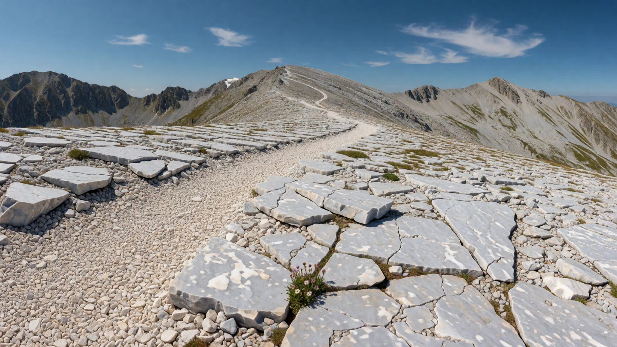
- Koncheto ridge — Koncheto ridge, Pirin Mountains
Koncheto is a short ridge—roughly 200 m long—between the higher mountains in the range, with steep sides. Most people treat it as a viewpoint segment on a day route, where the reward is the panorama after the climb. Watch your footing near cliff edges.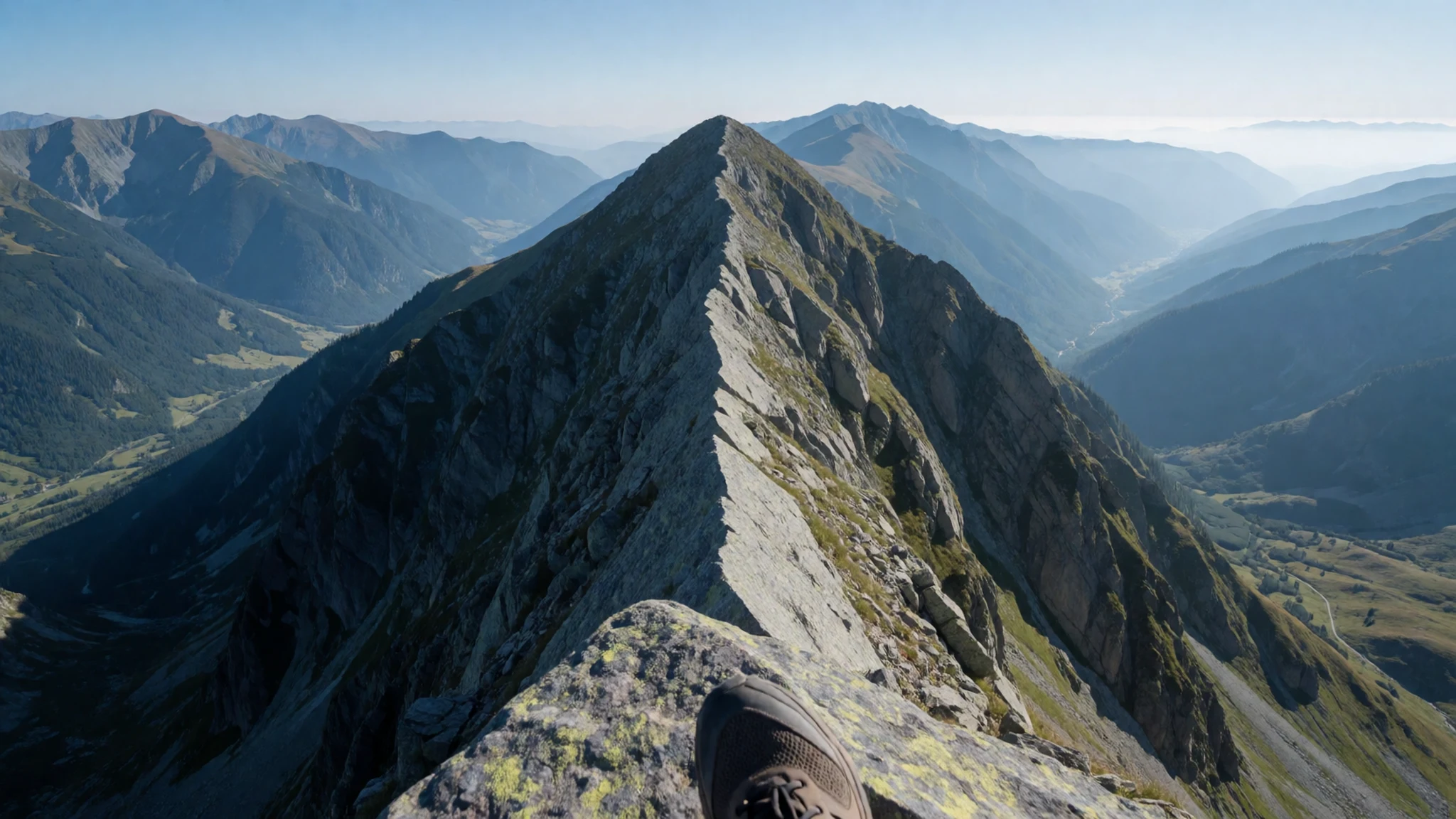
- Tevno Ezero Lake (with hut nearby) — Tevno Ezero area, Pirin Mountains
Tevno Ezero is known as a picturesque lake stop reached via trails, often paired with an overnight option at a nearby shelter/hut. The hut can feel expensive and the welcome varies, but the surrounding cirque landscape makes the trip feel worthwhile.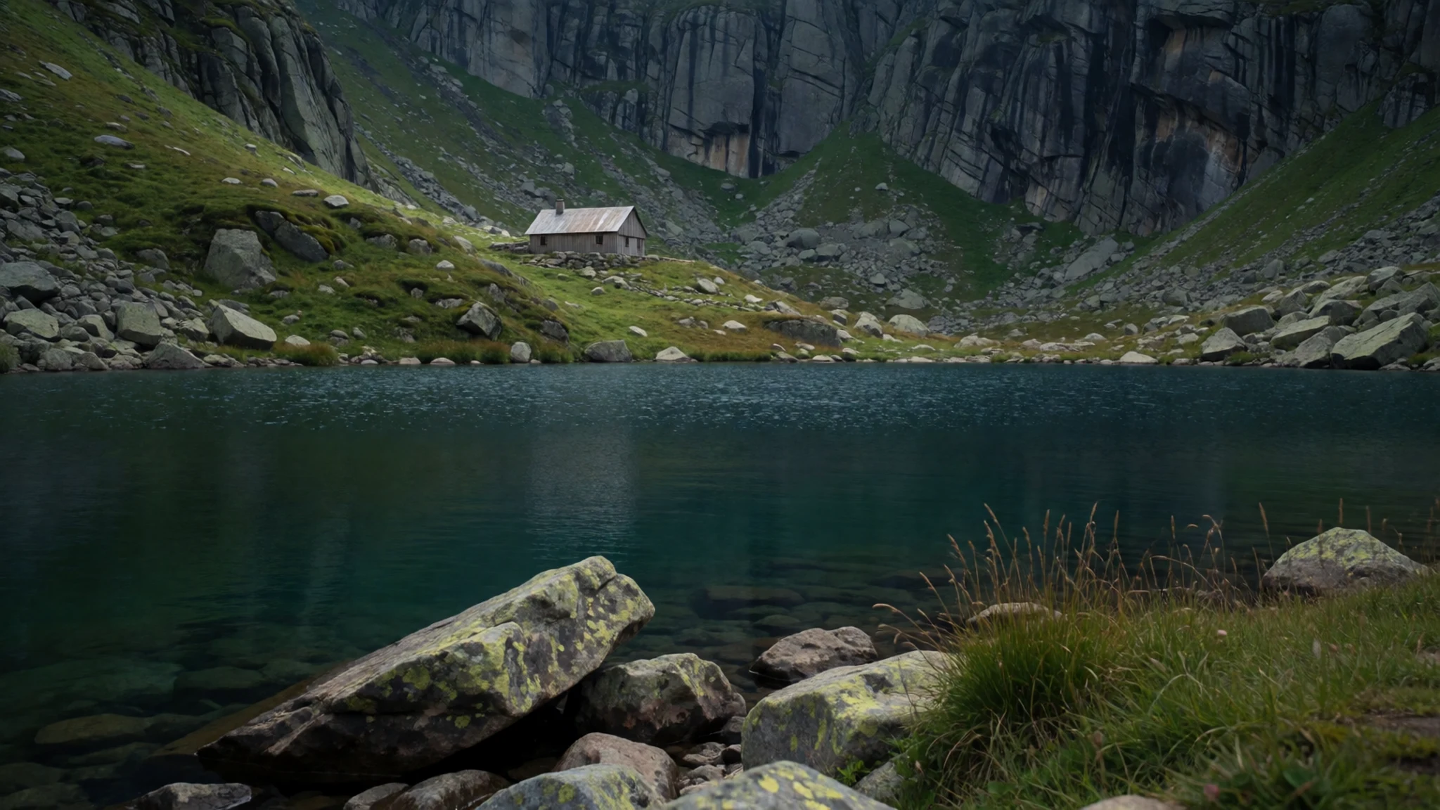
- Gergiyski Lakes (cirque scenery) — Gergiyski Lakes area, Pirin National Park
The Gergiyski Lakes sit in a cirque-style setting, so the view reads like layered peaks around a glacial basin. This is the kind of place where photos look dramatic even in flat light. Go slow and enjoy the changing reflections as weather shifts.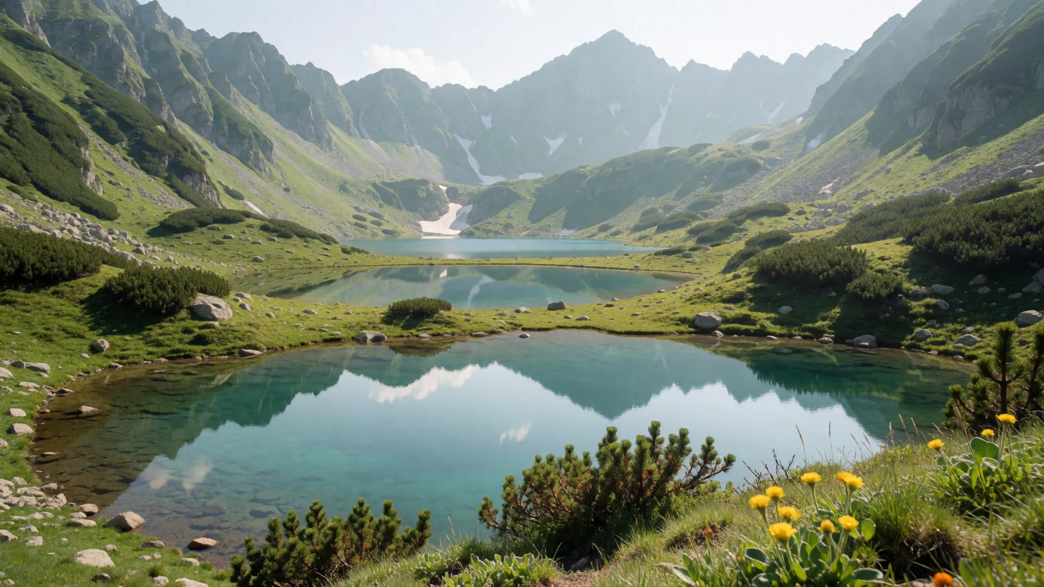
- Dautov vrah — Dautov vrah, Pirin Mountains
Dautov vrah is a standout peak within Pirin’s mountainous landscape, popular as a destination for hikers chasing higher viewpoints. Expect a route that rewards persistence more than speed, with scenery opening up as you gain elevation. Conditions can turn quickly, so start early.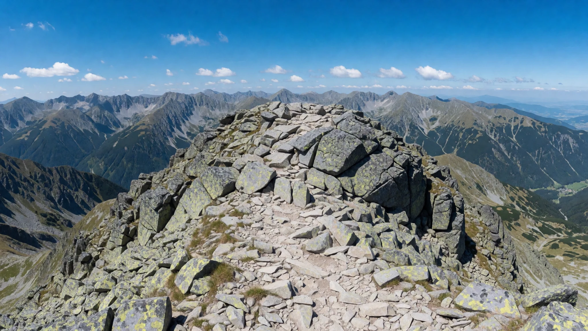
Culture
Pirin National Park is the kind of nature space where “culture” is really about how people move respectfully through the landscape. The park is state-owned and managed for the conservation of habitats, so the right behaviour is mostly common sense: stay on the marked trails, treat huts and information points as shared facilities, and keep noise down because it carries in valleys.
On the practical side, Pirin attracts domestic visitors and hikers, which means weekends and holidays can concentrate people on the most straightforward routes (especially routes linked to Vihren). Even then, the wider trails spread walkers out, and most of the time the experience is quietly physical: cold mornings, windy ridgelines, and long stretches where the only sound is footsteps.
If you’re aiming for lakes or high points, expect that weather can reshape plans. Bring layers, drink regularly, and don’t assume every path is equally well signed—GPS and a proper map can make the difference between a smooth hike and a long detour.
Visitor etiquette: stay on flagged trails, keep your voice low in sheltered valleys, and pack out all rubbish.
What to wear
In Pirin, clothing is about mountain conditions and modesty around any shared hut spaces, not trend. Traditional dress in the wider Bulgarian mountain regions includes wool-based garments—often with embroidered details—worn for cultural events and folk occasions, not as everyday trail wear.
Now, most visitors dress for comfort and protection: breathable base layers, a warm mid-layer, and a waterproof shell for sudden weather changes. Because you’ll likely be dealing with steep terrain and possibly cold temperatures at higher elevations, footwear matters: sturdy hiking boots with decent grip beat trainers. If you’re planning huts or campsites, pack a dry set of clothes for evenings.
What to wear as a visitor: long trousers, a thermal layer for mornings, and a hat that handles wind; add gloves if the forecast feels cool. For hut stops, bring a light layer you can wear indoors without overheating, and keep your bag secure—things get knocked around in busy common areas.
What to eat
- Hut breakfasts — Serviced huts along popular Pirin trails
Many serviced mountain huts can provide a basic breakfast once you’ve communicated with the caretaker. It’s usually simple, filling, and priced as a practical meal for hikers rather than a restaurant experience.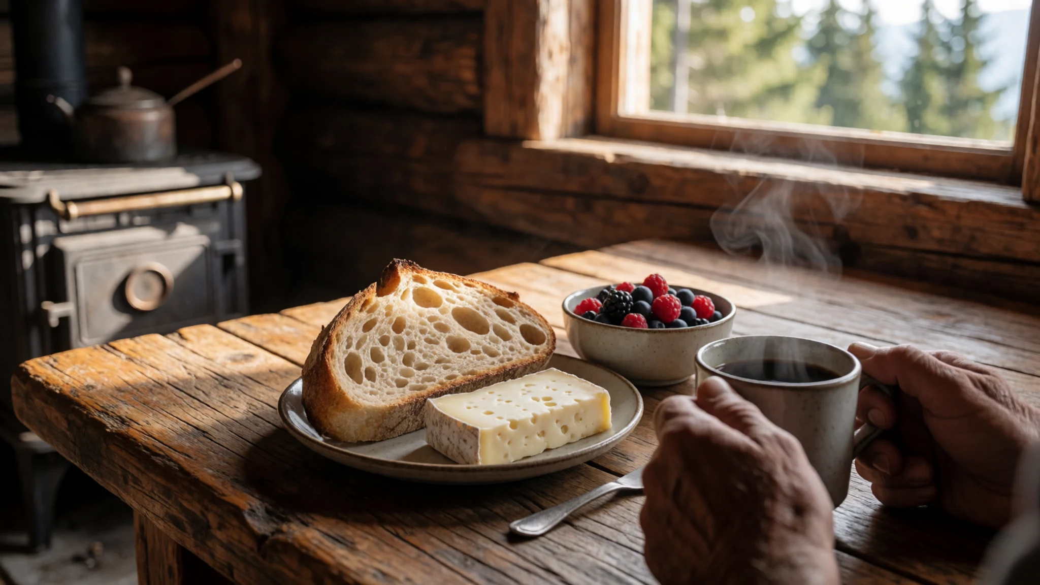
- Hut dinners with beer — Evening meals at serviced huts
After a long trail day, a hut dinner is often the easiest warm option. Some places serve hearty dishes with beer alongside, and even when options feel limited, it’s a reliable way to eat without carrying everything.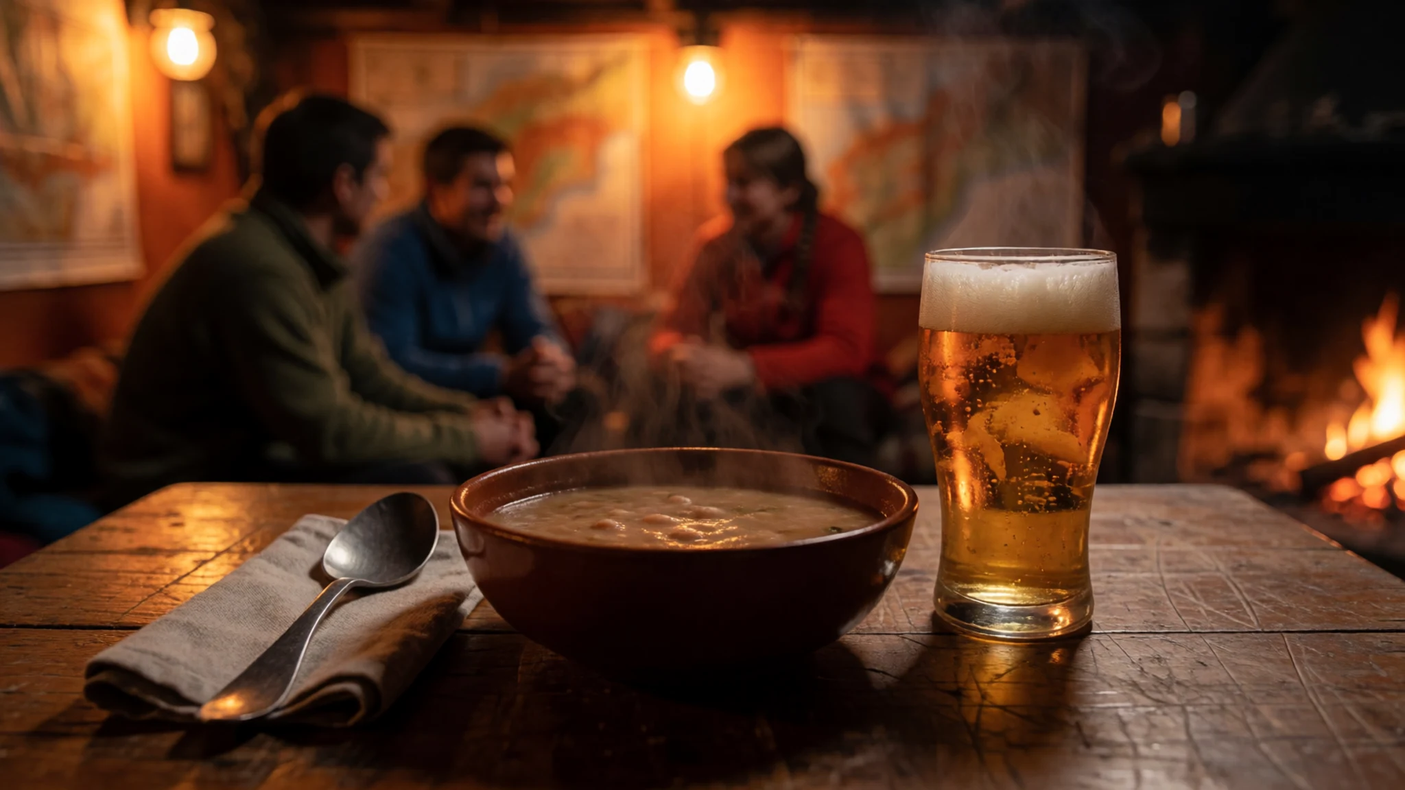
- Soup — Serviced huts serving basic meals
Soup is common in hut menus because it’s quick, warming, and easy to share. It’s a go-to when the air turns chilly or if you want something lighter before sleep in a communal room. - Omelette — Serviced huts with caretaker-cooked meals
A simple omelette shows up in hut meals because it works well with basic ingredients and feeds hikers without fuss. It’s often a good choice when you want protein and something that won’t sit heavy during the hike. - Hearty salad — Serviced hut meal options
A hearty salad can be surprisingly satisfying after strenuous walking, especially as a lighter alternative to heavier plates. Expect it to be straightforward, seasonal, and designed to keep you fuelled for another day on the trail.
Plan it
Best time. March–April and October–November for milder hiking conditions; summer can be busy and changeable at altitude, while winter planning is a different game entirely around Bansko and the higher routes.
How long. 3–4
Getting there. Fly into Sofia, then travel by road towards Blagoevgrad Province; from there, Bansko is a key gateway for access into the Pirin range via trailheads and hut routes.
Budget. mid
Tips
- Start early on popular routes so you’re not hiking the steeper parts in the busiest hours.
- Use the trail network and consider a hut stay so you’re not turning every outing into a long day grind.
- Bring GPS and a proper map—outside the main routes, trail marking can be inconsistent.
- Pack layers for quick temperature changes and carry water even on shorter transfers to trailheads.
Etiquette
- Follow flagged routes and avoid cutting across unmarked ground.
- Be considerate in huts: keep common spaces tidy and respect quiet hours.
- Keep your pace steady on narrow paths so you don’t cause bunching around steep sections.
Nearby
Sources
- Wikidata Q651314 (CC0)
- Wikipedia (Pirin National Park) (CC BY-SA 4.0)
- Wikivoyage (Pirin National Park) (CC BY-SA 4.0)
- Photo photos/01-bansko-ski-2025-28.jpg (CC BY-SA 4.0)
- Photo photos/02-pirin-gergiyski-ezera-img-4439.jpg (CC BY-SA 4.0)
- Photo photos/03-dautov-vrah-img-9381.jpg (CC BY-SA 1.0)
- Photo photos/04-vihren-pirin-img-0553.jpg (CC BY-SA 4.0)
- Photo photos/05-.jpg (CC BY-SA 4.0)
- Photo photos/06-muratovo-lake-pirin.jpg (CC BY 3.0)
- Photo photos/07-kamenitsa-pirin-img-5549.jpg (CC BY-SA 4.0)
- Photo photos/08-abies-borisii-regis-crown.jpg (CC BY-SA 2.0)


