Pindus National Park
Pindus National Park, Greece
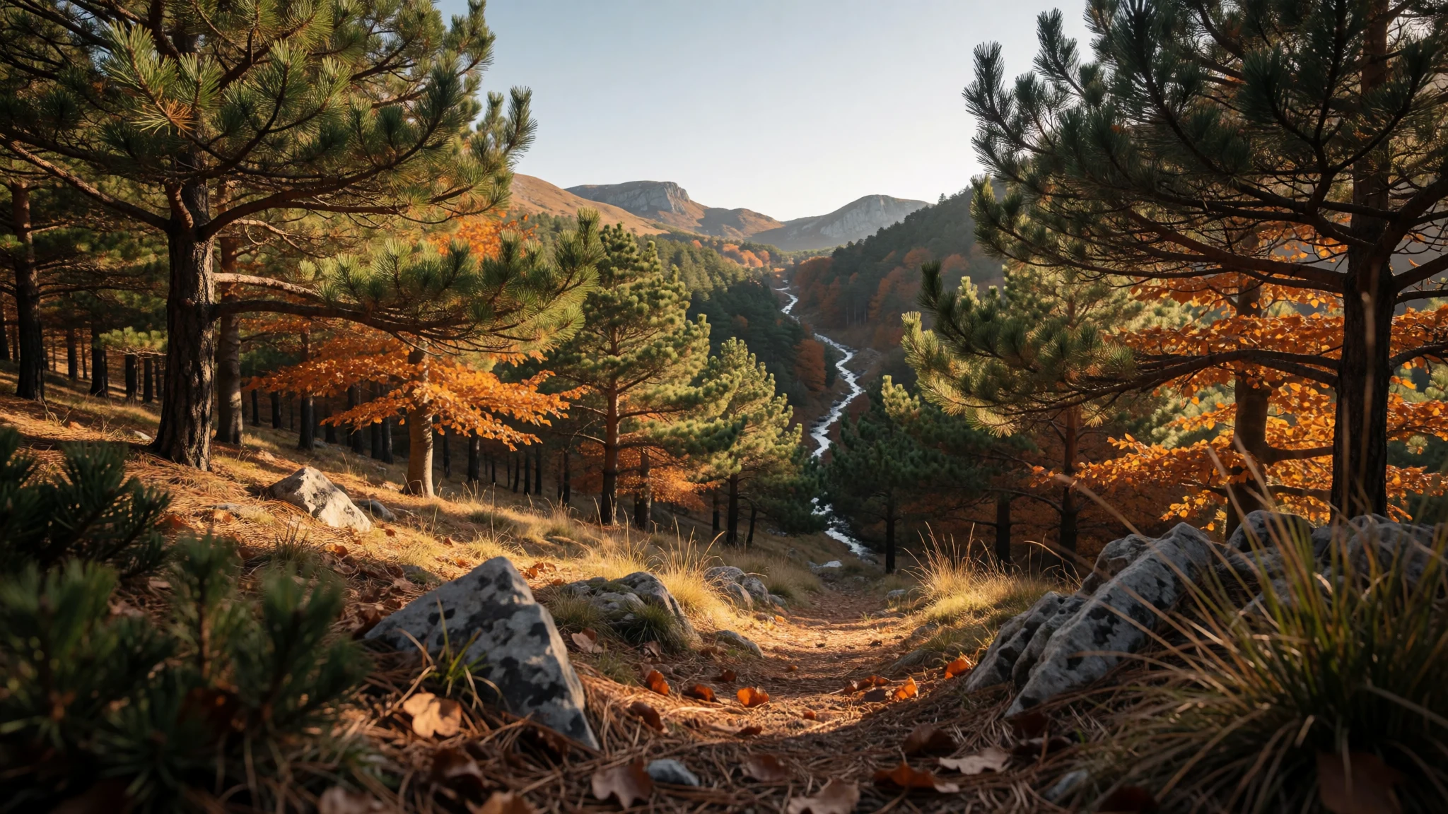
Pindus National Park is a quiet high valley of black pine, beech and bare peaks, with almost no facilities and few other walkers.
The place
Pindus National Park sits in an empty corner of the Pindus, where the regional units of Grevena and Ioannina meet, north of Metsovo and within reach of the villages of Vovousa, Perivoli and Milea. Greek speakers know it as Ethnikós Drymós Píndou (Εθνικός Δρυμός Πίνδου); the Aromanian name Valia Calda means Warm Valley. Nothing is built inside the boundary: no houses, no staffed centre, no roadside services. The protected ground is the valley itself and the slopes that close it in, a piece of the wider Pindus mixed-forest country and part of the Natura 2000 network.
Heights inside the boundary run between 1,076 metres and 2,177 metres. Lower down, European black pine and common beech stand in dense stands; higher up, rock, fast streams and small mountain lakes take over. Above that line the named tops are Avgo at 2,177 metres, Kakoplevri at 2,160, Flegga at 2,159, Aftia at 2,082 and Tria Sinora at 2,050, all past 2,000 metres. Much of the bedrock is serpentine, and the thin soils on that rock hold plants that do not grow on ordinary limestone. Brown bears still move through the forest. Greece has kept them in three areas, and this park is one of them.
The park was founded in 1966 and covers 6,927 hectares. A core of 3,360 hectares takes the greater share of Valia Calda, slopes included. Visitors coming from the north usually start at Perivoli; a rougher track comes in from the west near Milia. A climbing base near Mavrovouni, at 1,950 metres, is the usual high camp for walks into the reserve.
Its story
Pindus National Park occupies a valley the Aromanians called Valia Calda, the Warm Valley, on the seam between Epirus and West Macedonia. For centuries this was high pasture rather than a destination: shepherds moved flocks up to the ridges in summer and down to the villages when snow closed the tracks. The name still describes a sheltered hollow under cold peaks, not a resort. Ottoman rule in Epirus lasted until the Balkan Wars, and only after 1912 did the southern share of that older region join the Greek state. Mountain communities on the Grevena and Ioannina side remained poor and inward-looking. Roads and visitor services grew along the Ionian coast and the Metsovo corridor; the interior range did not. People landing at Igoumenitsa and driving east pass near this country without seeing it, because the park is unsigned from the main roads and has no village inside its line. What the state chose to protect is that emptiness. Black pine and beech had already clothed the slopes, serpentine rock had already sorted a peculiar flora, and bears were already using the woods. Formal protection fixed a boundary around the valley and forbade a list of ordinary countryside habits: taking plants or animals, lighting fires, and remaining in the core after dark. The park was founded in 1966. Walkers still treat it as a place reached on purpose, from Perivoli or by the western track near Milia, and then leave before night.
What to see
- Valia Calda — Valia Calda, on the Grevena–Ioannina border
Valia Calda is the heart of Pindus National Park, a high valley whose Aromanian name means Warm Valley. The core, 3,360 hectares inside a park of 6,927 hectares, covers most of this hollow and the slopes around it. Black pine and beech close in on both sides. There is no village and no roadhouse once the boundary is crossed.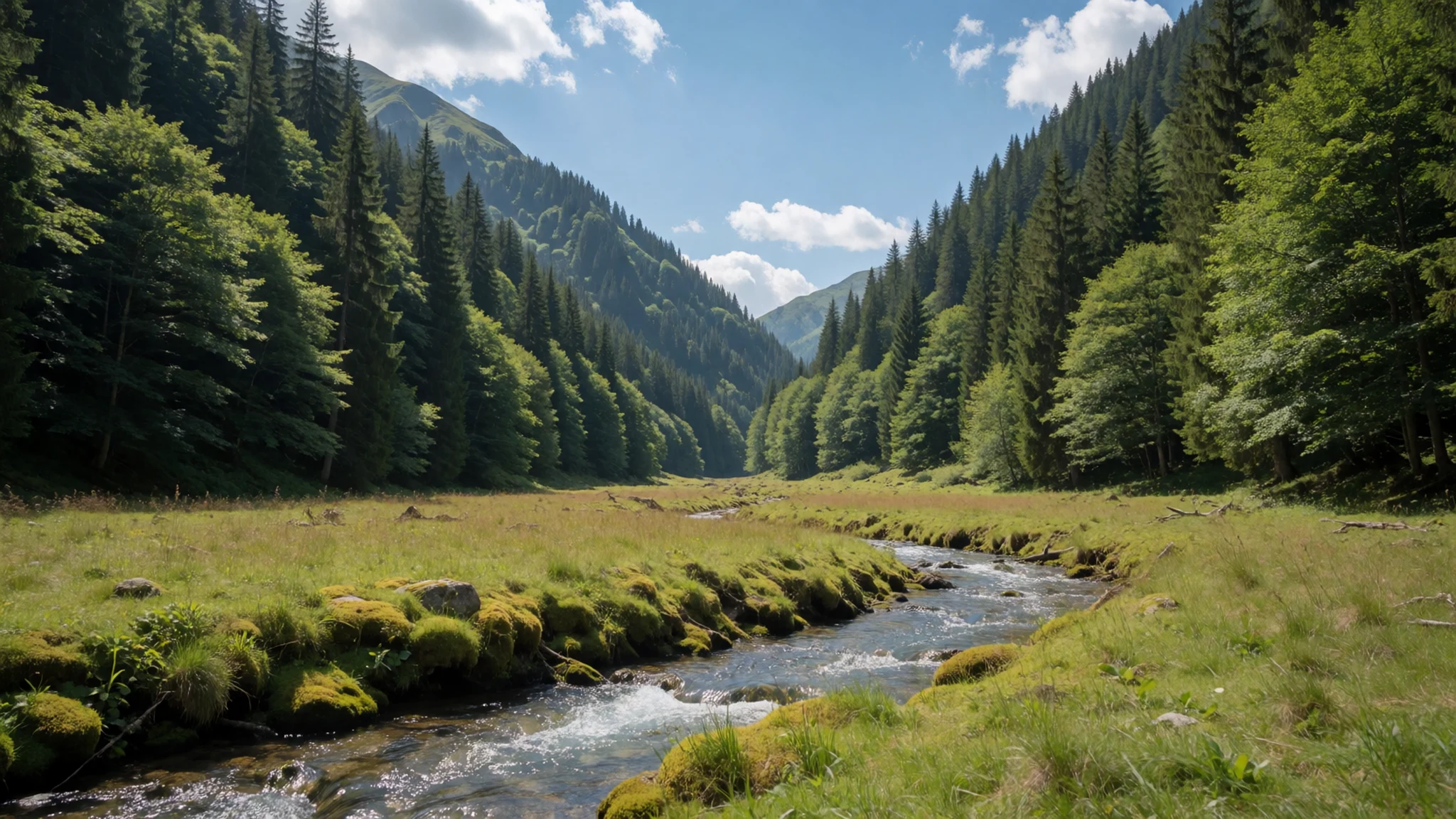
- Avgo — Avgo, northeastern Pindus
Avgo, the Egg, marks the top of the named summits in Pindus National Park at 2,177 metres. It stands among peaks that clear 2,000 metres, including Kakoplevri at 2,160 metres and Aftia at 2,082 metres. The last stretch is open rock and thin pasture above the beech, and the weather turns quickly. No building sits in the core below the peak.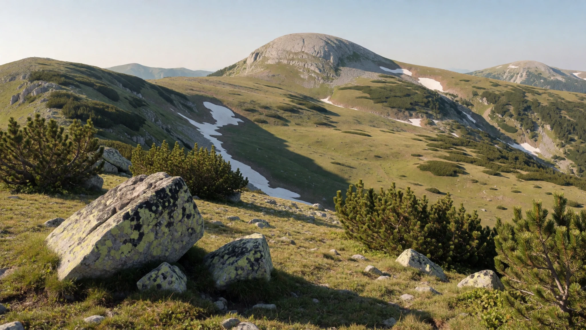
- Flegga — Flegga, above the black-pine forest
Flegga reaches 2,159 metres on the skyline of Pindus National Park, and pine forest clothes its flanks. European black pine and common beech cover the slope, split by rock ribs and short streams. Tria Sinora, at 2,050 metres, stands nearby. The ways up are dirt tracks, reliable in dry weather and a poor bet once winter arrives.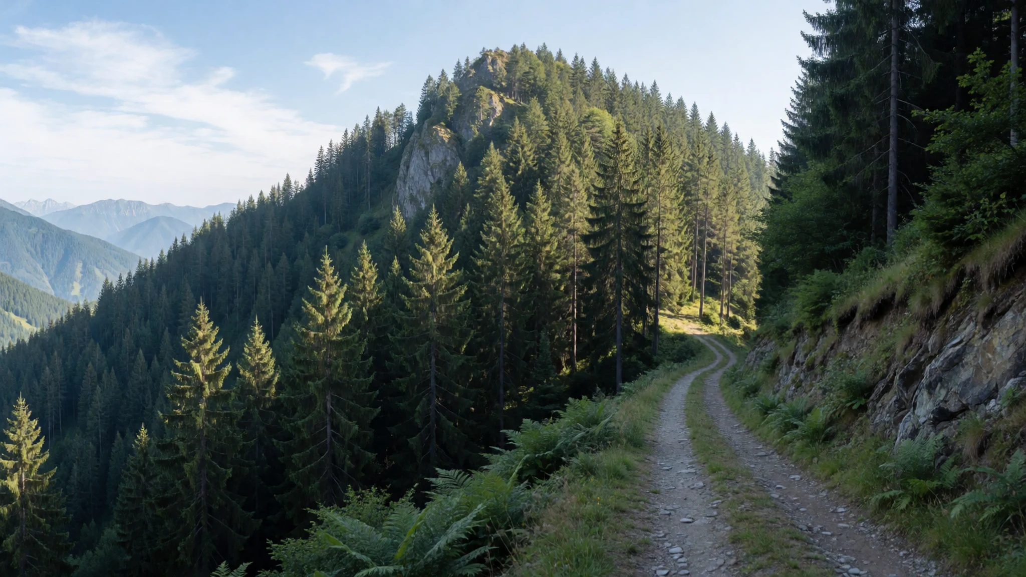
- Streams and mountain lakes — Streams and lakes in the core
Water in Pindus National Park runs cold and fast. Streams drop off the serpentine ridges into the Valia Calda valley, and small lakes sit high, between black pine and bare rock. No café waits at the water. Kayaking and rafting need clearance from the forestry service, and fires are forbidden. The lakes are for looking, not for a night spent in the core.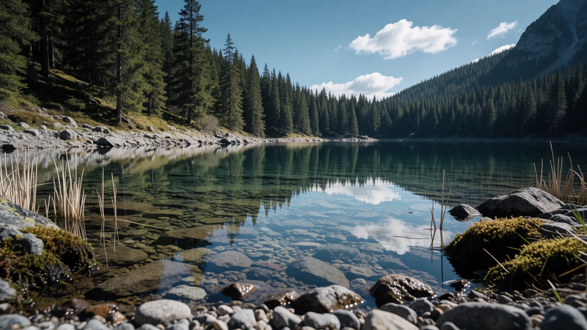
- Serpentine flora — Serpentine slopes of the park
Serpentine bedrock under Pindus National Park carries plants that do not grow on the limestone next door. In summer, Lilium chalcedonicum, a red lily, stands in open grass where the forest thins. Taking any organism — flower, seed, insect or stone — is forbidden. The plants stay on the slope, especially on the stony pasture under the high peaks.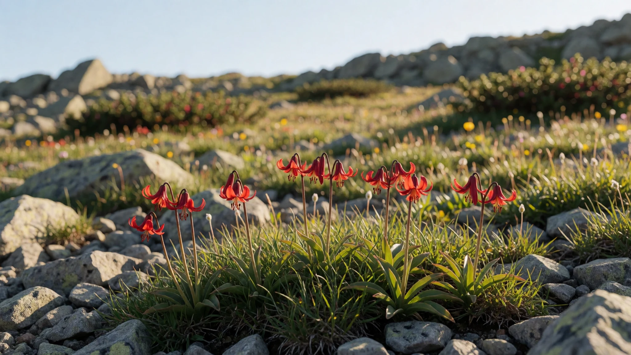
Culture
Pindus National Park is shaped by two quiet cultures that share a valley and then leave it empty. Greek administration drew the boundary and wrote the rules; Aromanian pastoral life gave the place the name Valia Calda, the Warm Valley, and the habit of using the high ground as summer pasture. Around the edge, the villages of Perivoli, Vovousa and Milea, and the town of Metsovo, are where people actually live. Church festivals, family flocks and a slow café life belong to those settlements, not to the core. Ioannina, further down the road, is a student city with a busier evening; up here the night is a meal and a conversation. Bears and a flora tied to serpentine rock are how local people explain the place: a reserve first and a viewpoint second. Visitors are expected to behave as guests on grazing and wildlife ground. There is no ticket office and no queue, which makes the written bans easier to forget and more important. Do not pick plants, light a fire, or remain inside the core of Pindus National Park after sunset.
What to wear
Dress around Pindus National Park belongs to the villages, not to the empty core. Older Aromanian and Greek mountain clothes were made for pasture and cold: heavy wool cloaks, thick woven layers, headscarves, and boots that could take mud and scree. The sigouni, a heavy wool coat of Epirus, is the garment people still name when they talk about local dress, and it appears at festivals more often than on a weekday. Wool is the textile that belongs here, because winters at these heights are long and rain is frequent.
On an ordinary day in Perivoli, Metsovo or Vovousa people wear the same practical clothes as in any small Greek mountain town: jackets, denim, knitwear and rubber-soled shoes. A traditional costume comes out for a wedding, a saint's day or a dance group.
A visitor should follow the shepherds' logic rather than the festival costume. Sensible kit is broken-in boots with grip, a waterproof layer, and wool or fleece that can be added as the slope changes. Ordinary trousers are fine; the park is not a shrine with a dress code. A village church visit calls for covered shoulders, and for shoes to come off only where the door asks. Underfoot in the reserve is dirt and rock, nothing smoother.
What to eat
- Tiropita — Bakeries and village eateries in Perivoli, Vovousa and Metsovo
Tiropita is the cheese pie eaten around Pindus National Park, a filo wrap of local cheese baked until the top shatters. Cheese has always been the staple of these kitchens. Bakeries in Perivoli, Vovousa and Metsovo sell it for the road.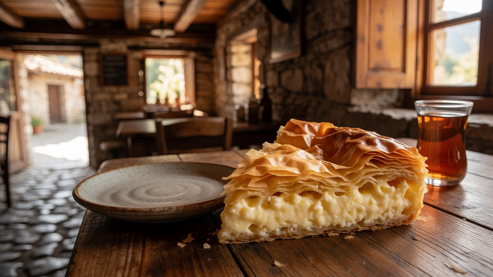
- Spanakopita — Bakery trays and family eateries in Metsovo, Perivoli and Vovousa
Spanakopita is the spinach pie of the same village tables around Pindus National Park, greens and herbs layered in filo, often with a little cheese. It sits beside the cheese pies in bakery trays and at family eateries in Metsovo, Perivoli and Vovousa.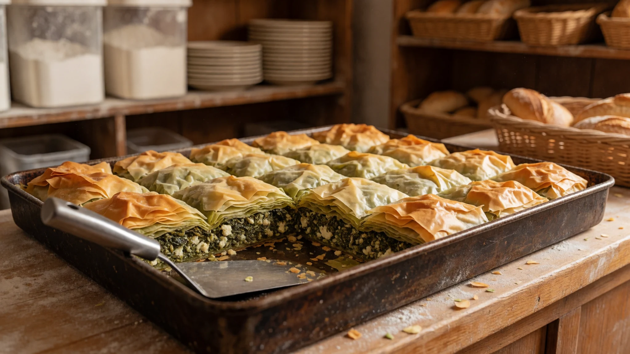
- Hortopita — Eateries in Vovousa, Milea and Perivoli
Hortopita is the wild-green pie of the villages around Pindus National Park, filled with horta, the foraged leaves of the hills, rather than garden spinach. Eateries in Vovousa, Milea and Perivoli serve it beside the other pies. Greens on the plate should come from outside the park. - Kolokithopita — Bakeries in Metsovo, Perivoli and Milea
Kolokithopita is the pumpkin pie of the villages around Pindus National Park, baked sweet or salted according to the house. Pumpkin stores well through a long mountain winter, so the pie is not only a summer dish. Bakeries in Metsovo, Perivoli and Milea sell both versions. - Tirospanakopita — Bakeries and eateries in Metsovo, Vovousa and Perivoli
Tirospanakopita joins the two common fillings of Pindus National Park's village pies: spinach and feta in the same filo crust. It is richer than plain spanakopita and eats like a full lunch. Bakery shelves in Metsovo and eateries in Vovousa and Perivoli keep it on the tray. - Goat and sheep — Village eateries in Metsovo, Perivoli and Vovousa
Goat and sheep from the slopes around Pindus National Park are the meat people order in the evening. The flocks feed across mixed hillsides rather than a single sown field, which is why the chops and stews taste so herbal. Village eateries in Metsovo, Perivoli and Vovousa serve them.
Plan it
Best time. May and September, when dirt tracks into Pindus National Park are usually open and the high ground is clear of the worst snow. Winter closes the rougher roads. Spring and autumn are workable and often wet. The climate is montane: cold at altitude, very hot in July and August with highs near 40 C, and wettest from October to December. Confirm conditions on the park website before a shoulder-season visit.
How long. 2–3
Getting there. Seasonal flights land at Aktion National Airport near Preveza. Ferries reach Igoumenitsa from Ancona, Bari, Brindisi and Venice, and other boats serve Patras and Corfu. The motorway from Igoumenitsa runs through Ioannina and Metsovo toward Thessaloniki, but Pindus National Park is not signed from that road. Enter from Perivoli on the north side, or by the western track near Milia. Nothing inside the boundary sells a ticket or a map; check the park website for the current approach.
Budget. low
Tips
- The park is unsigned, so start from Perivoli or the western track near Milia rather than hunting for a sign on the main road.
- Carry food and water; the boundary contains no village and no shop.
- Leave the core before sunset, because overnight stays and camping there are prohibited.
- Skip the trip in snow; the dirt roads fail in winter.
- Check pindosnationalpark.gr for fire rules and for whether kayaking or rafting currently needs forestry clearance.
Etiquette
- Do not collect plants, animals, rocks or any other organism.
- Do not light a fire.
- Do not stay in the core after sunset or camp there.
- Give bears room and do not feed any animal.
Nearby
Sources
- Wikidata Q1989158 (CC0)
- Wikipedia (rev 1371825229) (CC BY-SA 4.0)
- Wikivoyage (rev 5237196) (CC BY-SA 4.0)
- Photo photos/01-pindus-old-bridge-3.jpg (CC BY-SA 4.0)
- Photo photos/02-pindus-national-park-flegga.jpg (CC BY 3.0)
- Photo photos/03-augopindos.jpg (Public domain)
- Photo photos/04-lil-chalcedonicum-01hab-griechenland-pindus-nationalpark-26-.jpg (CC BY 3.0)
- Photo photos/05-sal-2.jpg (CC BY-SA 4.0)
- Photo photos/06-mountains-to-the-north.jpg (CC BY-SA 2.0)
- Photo photos/07-1994-6.jpg (CC BY-SA 4.0)
- Photo photos/08-2000-3-1.jpg (CC BY-SA 4.0)


