Peyto Lake
Peyto Lake, Canada
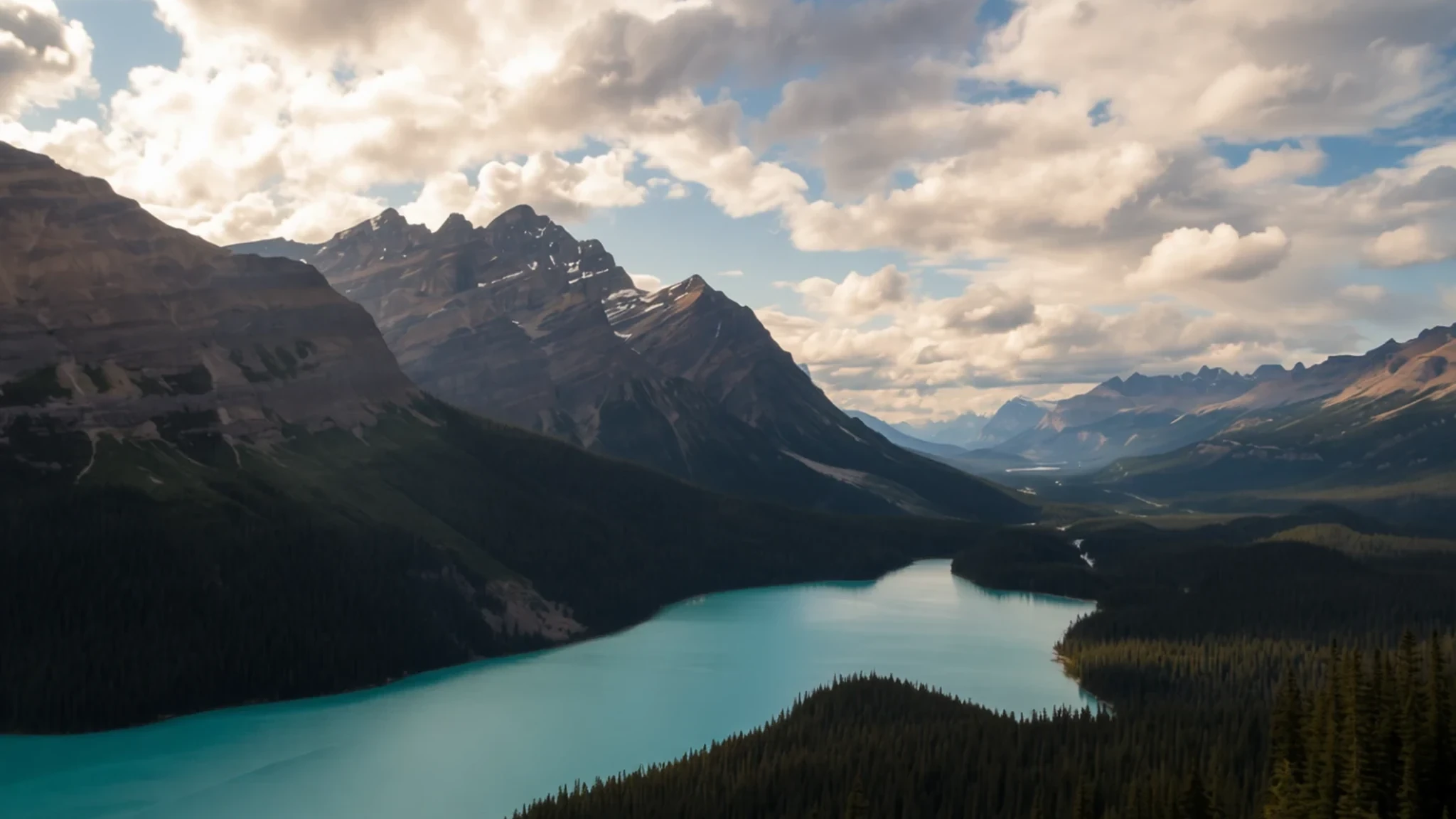
Peyto Lake's milky turquoise water is one of the Canadian Rockies' most photographed sights, seen from a short walk off the Icefields Parkway.
The place
Peyto Lake sits in a valley of the Waputik Range inside Banff National Park, a short drive from the Icefields Parkway in Alberta. The lake lies at 1,880 metres, wedged between Caldron Peak, Peyto Peak and Mount Jimmy Simpson. Peyto Creek feeds it, carrying meltwater from Caldron Lake and the Peyto Glacier, which forms part of the Wapta Icefield. Water leaving the lake becomes the Mistaya River, which heads north-west.
The colour is the real surprise. Through the summer, fine rock flour ground off by the glacier washes into the lake and stays suspended in the water. That sediment scatters light so the lake looks almost painted, a blue-green that shifts with the weather and the time of day. Many glacial lakes look grey or pale, so Peyto stands out even among its neighbours.
That colour has made the lake one of the most photographed spots in the Rockies. The best view is from Bow Summit, the highest point on the Icefields Parkway, and a short walk leads to the viewpoint above the water. Parks Canada upgraded the viewpoint, trails and car parks, so the path is clearer than it once was. Expect a full car park in July and August, when the viewpoint can feel crowded, and aim for early morning or late afternoon if you want quieter light.
Its story
Peyto Lake takes its name from Ebenezer William 'Bill' Peyto, an English-born mountain guide and trapper who worked in the Canadian Rockies in the late nineteenth century. He became known for guiding explorers through the region, and he later served as an early park warden in Banff National Park.
The name began with a peak before it reached the lake. In 1896, a topographer named Walter Wilcox travelled the area with Peyto and named the nearby peak and the lake after him. Official recognition came later. The Geographic Board of Canada approved the name Peyto Lake in 1911, and the name entered the board's database in 1934.
Peyto's own story suits the place. He was a figure of the frontier years, leading parties through country that few outsiders knew well, and the lake has kept his name long after those journeys. Today the Icefields Parkway carries steady traffic past the water, and most people know the lake for its colour rather than for any expedition.
The geology is the other half of the story. The lake sits in a valley shaped by ice, and the glacier that feeds it keeps grinding bedrock into fine powder. That constant supply of rock flour explains why the water looks different from one summer to the next. In 2021, Parks Canada completed improvements to the viewpoint, trails and parking areas, so a lake that began as a name on a map now welcomes visitors with a more organised approach.
What to see
- Peyto Lake viewpoint — Bow Summit, Banff National Park
The classic view is from the lookout above the water, reached by a short trail from the car park at Bow Summit. From here the lake's turquoise sweep is framed by steep rock walls and the glacier-fed valley beyond. Arrive early or stay until the light softens, because the lookout fills quickly through midday. Stay on the marked paths, since the edges are steep and loose.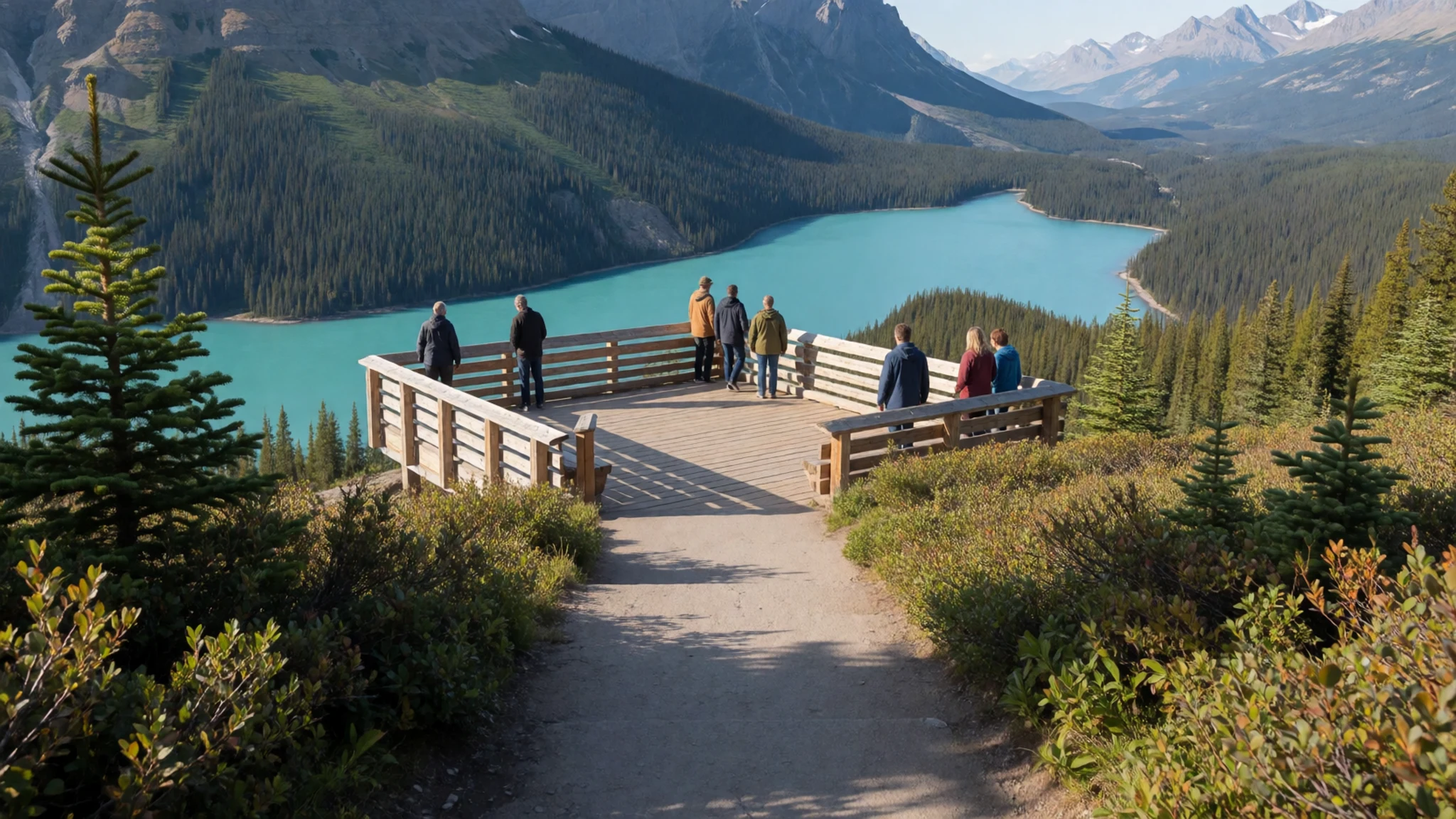
- Icefields Parkway — Banff to Jasper, Alberta
The road between Banff and Jasper runs through some of the most dramatic mountain scenery in the country, and Peyto Lake is one of its signature stops. The drive is long and mountainous, with few services between the towns, so fill your tank and carry food and water before you set off. Pull into the signed lay-bys to take in the peaks and glaciers along the way.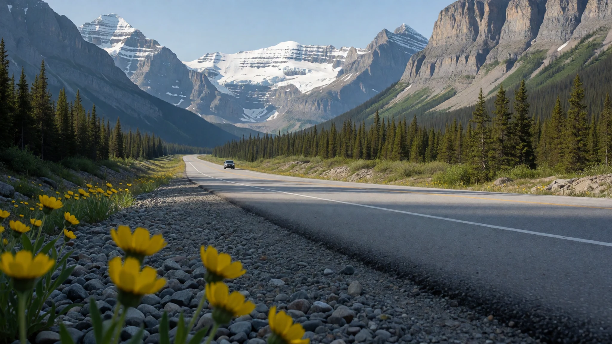
- Calgary Stampede — Calgary
Every July the city hosts the Calgary Stampede, a wild west-themed festival with rodeos, chuckwagon racing, parades and fairs. It is one of the easiest ways to see Alberta's cattle-country identity up close. Book accommodation well ahead for the festival period, as rooms in the city fill quickly and prices rise.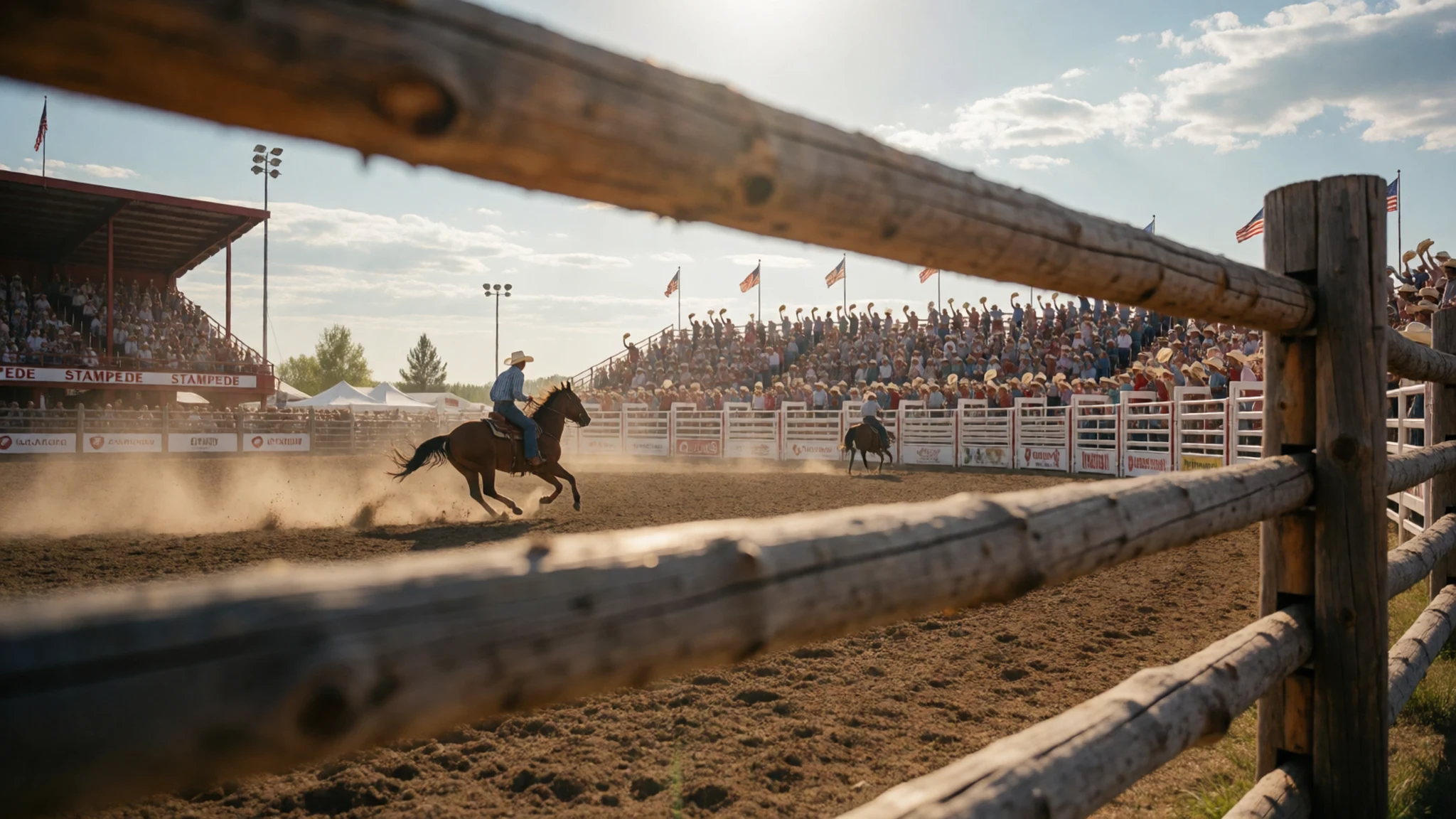
- Calgary Tower and Calgary Zoo — Downtown Calgary
Calgary Tower offers a wide view over the city and out toward the mountains on clear days, which makes it a good first stop before heading west. The Calgary Zoo is a further option for a relaxed afternoon. Check the official sites for current opening times and tickets before you go, as these change by season.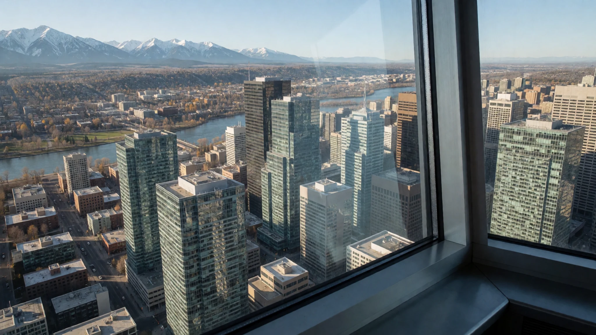
- West Edmonton Mall — West Edmonton, Edmonton
West Edmonton Mall ranks among the province's largest attractions, with hundreds of shops and a large indoor entertainment centre, so it works well on a wet day or for visitors who do not shop. Edmonton also calls itself Canada's Festival City, and its North Saskatchewan River Valley parkland is one of North America's largest urban park systems. Walk or cycle the valley trails for a green contrast to the mall.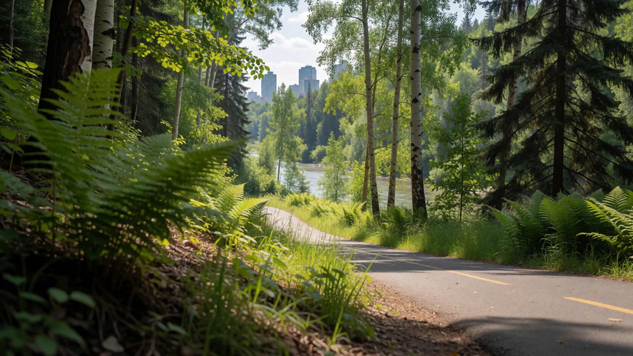
Culture
Peyto Lake sits inside Banff National Park, which Parks Canada manages, and that shapes how people behave around it. Visitors arrive by car, coach and bicycle, so the car park and viewpoint can feel like a busy shared space rather than a quiet wilderness. Most people bring their own water, layers and snacks, since facilities near the lake are basic.
Alberta's wider culture carries a strong cattle-country streak. Ranching, rodeo and horse riding are part of everyday life in the south and west of the province, and the Calgary Stampede brings that tradition into the city each July. Visitors are welcome at the festivities, but the events are working celebrations as well as shows, so behave as you would at any community event.
Wildlife is part of the park's character too. Elk, deer and bears can appear near roads and car parks, and rangers ask people to keep a respectful distance and to store food securely in the car. Stay on the marked paths at the lake, and never feed or approach wildlife.
What to wear
Peyto Lake lies in a region where traditional dress is tied to the Indigenous peoples of Alberta, including the Blackfoot Confederacy, the Stoney Nakoda and the Cree. Historic clothing was made from tanned hide and decorated with quillwork, and later with glass beads in geometric and floral patterns. Métis communities developed the bright woven sash, a textile that remains a strong symbol of Métis identity and appears at festivals and ceremonies. Wool blankets and trade cloth were also important in older dress.
What people wear now is far more practical. On the mountain trails you will see fleece, waterproof shells and hiking boots, and in towns jeans and outdoor jackets are normal. Around Calgary in July, the Stampede brings cowboy hats, pearl-snap shirts and boots, and many people dress up for the rodeo and the parade.
For a visit to Peyto Lake, dress for changeable weather. The air at altitude can turn cold quickly even in summer, and rain or wind can arrive without warning, so pack a waterproof shell and a warm layer. Wear sturdy shoes with good grip, because the paths and viewpoint can be loose and stony. Sunglasses and a hat help against the bright glacier light. Modesty norms are relaxed, so no special dress is needed outside cultural events.
What to eat
- Alberta beef — Steakhouses and grill restaurants in Calgary and in ranching towns across the south
Alberta beef is the regional standout, raised on rich grasses and finished on local barley rather than corn, which gives the meat a distinctive flavour. Order a steak at a traditional grill or steakhouse, where cattle ranching is part of the local identity.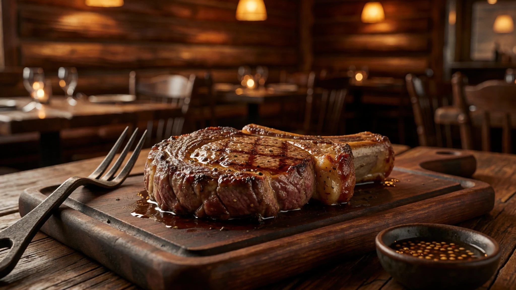
- Bison — Restaurants that list game in Edmonton and Calgary
Bison appears on menus across the province as a leaner alternative to beef. It is served as burgers, steaks and sausages, and it tastes richer and slightly sweeter than beef. Look for it on the menu of restaurants that list game.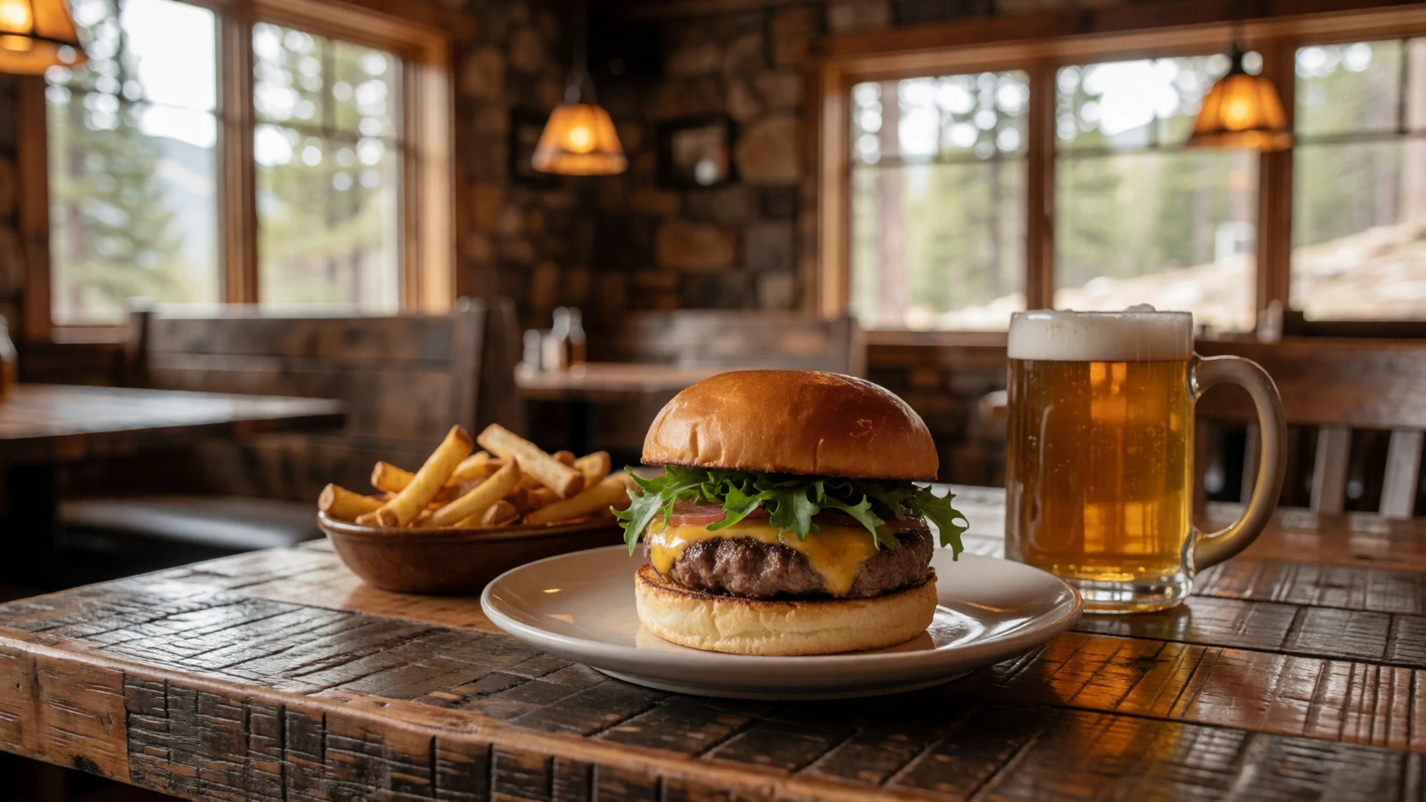
- Perogies — Ukrainian church halls and community suppers, and family-run eateries in small towns
Perogies are Ukrainian dumplings filled with potato, cheese or onion, and they turn up widely across Alberta. They are often boiled and then fried with onions, and served with sour cream. Look for them at community suppers and church halls. - Poutine — Roadside diners and small-town cafés along the highways
Poutine is chips topped with cheese curds and hot gravy, and it is a popular snack on a long drive. The curds should squeak against your teeth while the gravy is still hot. Stop at a roadside diner or a small-town café before you reach the parkway. - Won ton soup and spring rolls — The small-town Chinese café found in most Alberta towns
Cooks from China's Fujian province worked in the railway-building camps, and their legacy lives on in small-town Chinese cafés. Order a bowl of won ton soup or a plate of spring rolls, often served alongside burgers. These cafés offer a simple, affordable lunch after a morning on the trails.
Plan it
Best time. Late June to September is when the Icefields Parkway is normally open and the viewpoint is easiest to reach, with July and August the busiest months. Snow can fall at altitude at any time of year, so check Parks Canada for road conditions before you travel.
How long. 2–3
Getting there. Fly into Calgary, which is the usual base for the Rockies, then drive west to Banff and north on the Icefields Parkway to Bow Summit. From Edmonton, the train stops at Jasper on The Canadian, and you can hire a car there for the southern stretch of the parkway.
Budget. mid
Tips
- Book a rental car early in summer, as supply is limited in Calgary and Banff
- Arrive at the viewpoint before 9 am to avoid the coach groups
- Fill your fuel tank in Banff or Jasper, since services along the parkway are sparse
- Carry cash and a card, as small stalls and parking machines may not accept both
- Pack layers and a waterproof jacket, because the weather can change quickly at altitude
Etiquette
- Keep to the marked trails and viewpoints, since the slopes near the water are steep and loose
- Keep your distance from wildlife and never feed animals
- Pull fully off the road into signed lay-bys when you stop to look at the view
Nearby
Sources
- Wikidata Q1362681 (CC0)
- Wikipedia: Peyto Lake (CC BY-SA 4.0)
- Wikivoyage: Alberta (CC BY-SA 4.0)
- Panorama of Peyto Lake, Banff National Park (Ethan Sahagun) (CC BY 4.0)
- Peyto Lake panorama 2019 (Chensiyuan) (CC BY-SA 4.0)
- Peyto Lake panorama 2006 (chensiyuan) (CC BY-SA 2.0)
- 20130630 03 Peyto Lake (David Wilson) (CC BY 2.5)
- Panoramic view of Peyto Lake (Hansueli Krapf) (CC BY-SA 4.0)
- Peyto Lake, Canadian Rockies 2025 (Balon Greyjoy, 6145) (CC BY 3.0)
- Peyto Lake, Canadian Rockies 2025 (Balon Greyjoy, 6146) (CC BY 3.0)
- Peyto Lake, Canadian Rockies 2025 (Balon Greyjoy, 6147) (CC BY 3.0)


