Pangong Tso
Pangong Tso, People's Republic of China
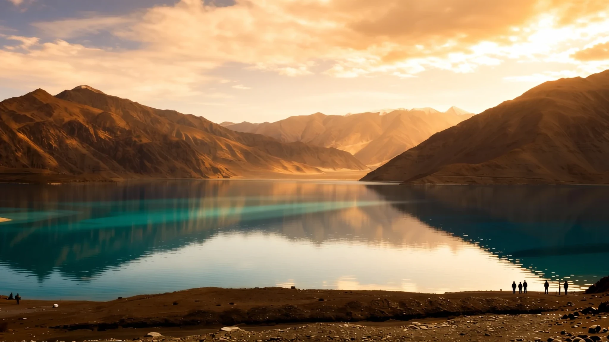
Pangong Tso is an extraordinarily high, remote soda lake in the Himalayas whose striking saline waters shift colour through brilliant shades of blue.
The place
Pangong Tso is an endorheic lake situated high in the Himalayan terrain, straddling the border regions of eastern Ladakh and the Ngari Prefecture. Resting at an altitude of 4250 metres above sea level, the boomerang-shaped body of water sits within a landlocked basin isolated from the nearby Indus River system by an elevated ridge. The terrain is stark, dominated by towering arid ridges that plunge directly into the cold saline waters. To the north rise the Changchenmo and Pangong ranges, which form the easternmost spurs of the Karakoram, while the Gangdise Shan bounds the south. Mountain projections from the Changchenmo range reach far into the lake basin, creating distinctive spurs known locally as fingers. Fed by several small streams that trickle down from the Indian slopes to form marshy wetlands at its western fringes, the lake remains completely frozen during the bitter winter months. The water itself is brackish and home to limited aquatic life, though migratory birds frequently gather along the shores and wetlands during the milder seasons. Because the basin is entirely landlocked with no outflow, evaporation leaves behind high mineral content, giving the lake its signature chemical composition.
Its story
The history of Pangong Tso is deeply tied to the rugged geopolitics of the Himalayan borderlands. Long ago, the lake maintained an active outlet draining toward the Shyok River, but natural geological shifting and damming sealed this exit, trapping the water in an enclosed basin. For centuries, nomadic herders of the Changthang region navigated these high plateaus, grazing livestock along the protected margins of the basin where sweetwater streams met the bitter lake. As imperial boundaries shifted, the region became a focal point for cartographic surveys and territorial definitions by colonial administrators. Today, the lake serves as a sensitive frontier where approximately two-thirds of the basin is administered by China and the remainder falls under Indian control. The Line of Actual Control cuts directly across the water body, turning a quiet natural landmark into a heavily guarded security zone. This strategic division has witnessed significant geopolitical friction, including historical conflict during the mid-twentieth century and subsequent border skirmishes in recent years. Despite the heavy military presence and strict regulatory oversight required to approach the shoreline, the lake continues to draw travellers drawn to the raw, untamed isolation of the high-altitude desert.
What to see
- Mongoose Point
Located along the road between Tangtse and Pangong, this elevated viewpoint offers travellers a striking perspective over the winding mountain passes and the sudden, dramatic expanse of the high-altitude desert landscape before reaching the shore.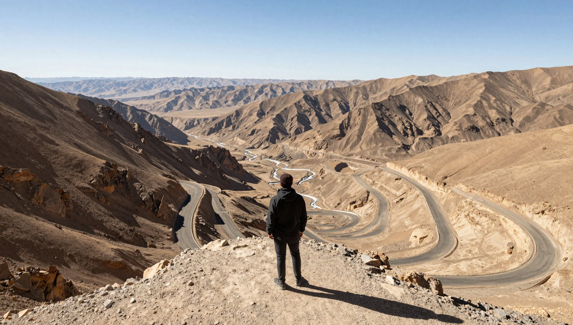
- The Western Finger Spurs
The rugged mountain ridges of the Changchenmo range extend directly into the western edge of the lake basin, creating sequential geographical formations known simply as fingers that tourists visit to capture panoramic photographs of the shifting blue waters.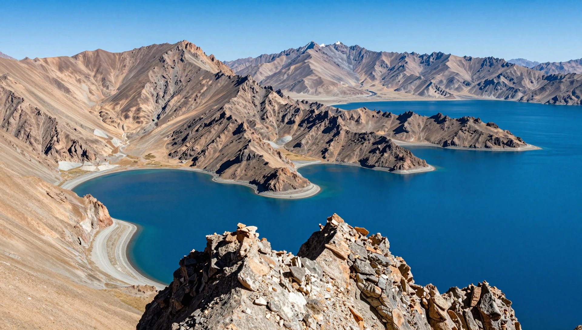
- The Shoreline Wetlands
Where freshwater streams flow down from the surrounding mountains into the western basin, delicate marshlands form that provide crucial feeding grounds for flocks of migratory birds and waterfowl navigating the harsh Himalayan plateau.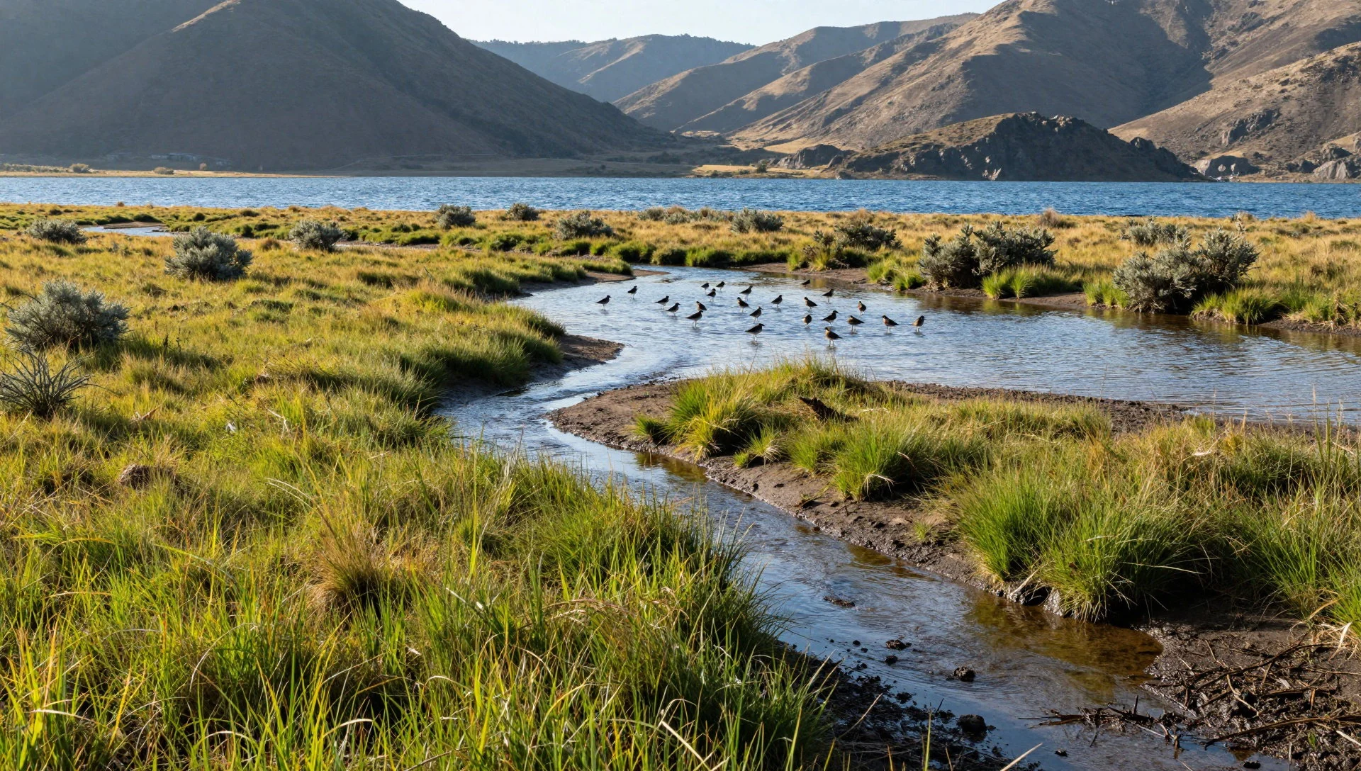
Culture
The cultural fabric surrounding Pangong Tso is rooted in the traditions of the high-altitude Changthang plateau, where pastoral communities have herded pashmina goats and yaks across the cold steppes for generations. Influenced heavily by Tibetan Buddhist traditions, the local population maintains deep spiritual connections to the surrounding peaks, waters, and sky, often marking sacred spaces with prayer flags and stone mani walls inscribed with mantras. Hospitality is offered in remote homestays and seasonal settlements, where visitors are welcomed with hot butter tea and simple hearth-cooked meals. Because the area sits directly along a sensitive international border, military oversight shapes daily interactions, blending traditional nomadic rhythms with strategic checkpoints and regulated movement. Respect local military sensitivities, adhere strictly to all permit requirements, and avoid photographing security installations or personnel. Always remove your boots when entering household prayer rooms or monastic spaces.
What to wear
Traditional attire in the Pangong region is designed to combat extreme cold and fierce mountain winds, consisting of heavy woolen robes known as gonchas, often paired with fur-lined hats and sturdy leather boots suited for rocky terrain. Artisans weave thick textiles from local sheep and goat wool, creating garments that trap body heat against freezing temperatures. Today, while older generations and nomads maintain elements of traditional dress, younger locals and tourism workers frequently wear modern cold-weather gear, fleece jackets, and durable trousers. Visitors must pack for severe alpine conditions regardless of the calendar month, layering thermal underwear, windproof outer shells, insulated down jackets, woollen caps, and polarized sunglasses to protect against intense high-altitude UV radiation and blinding glare off the water.
What to eat
- Butter Tea — Local guesthouses and homestays near the lake
A traditional salted tea churned with yak butter and milk, served hot in guesthouses and nomadic tents across the high-altitude plateau to provide essential warmth and calories against the biting mountain cold.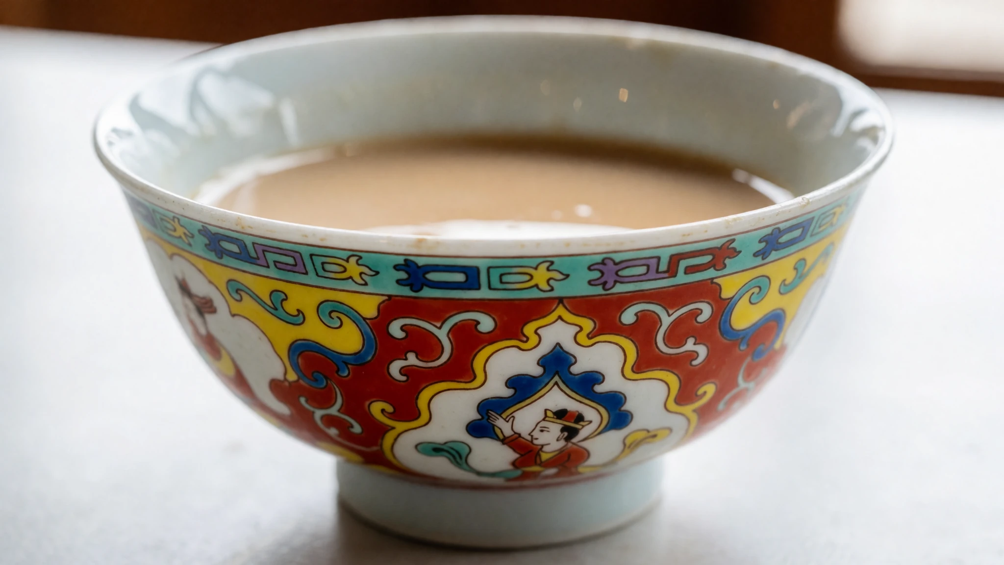
- Thukpa — roadside cafes and seasonal tent camps
A hearty noodle soup filled with vegetables and occasionally meat, simmered in a clear, warming broth that helps travellers acclimatise and recover from the chilly winds sweeping across the basin.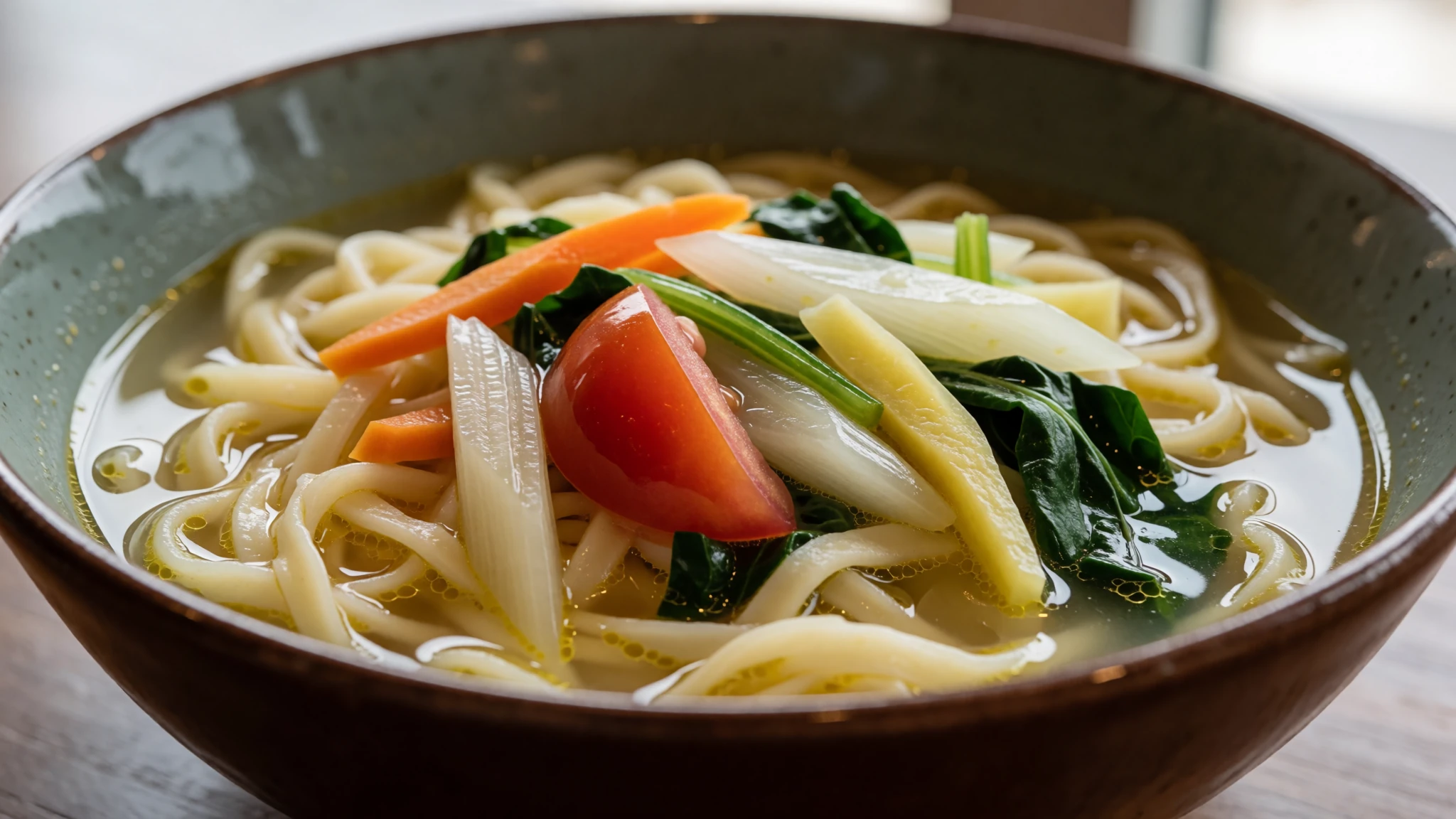
- Momos — Small eateries in nearby settlements like Tangtse and Durbuk
Steamed dumplings stuffed with minced meat or vegetables, served hot with a fiery chilli dipping sauce, offering a satisfying and comforting meal in remote roadside eating houses. - Tsampa — Traditional homestays throughout the Changthang region
Roasted barley flour that forms a staple food of the high plateau, often mixed with butter tea or warm water to create a nourishing paste eaten by nomadic herders on the move.
Plan it
Best time. May to September offers the most accessible roads and manageable daytime temperatures, while February hosts the annual frozen lake marathon for winter visitors.
How long. 2–3
Getting there. Most travellers reach Pangong Tso by taxi or motorcycle from Leh, navigating high mountain passes along lengthy gravel roads via Tangtse.
Budget. mid
Tips
- Acclimatise carefully in Leh for several days before attempting the high altitude journey to the lake.
- Secure your Inner Line Permit in advance through authorised channels before heading toward the border region.
- Carry sufficient cash as card payment facilities are absent in these remote high-altitude settlements.
- Pack heavy thermal layers and windproof jackets as temperatures drop sharply after sunset.
Etiquette
- Obey all military instructions and do not attempt unauthorized photography near border checkpoints.
- Leave no plastic waste behind and respect the fragile ecological balance of the high-altitude wetlands.
Nearby
Sources
- Wikidata Q1032254 (CC0)
- Wikipedia (rev 1376727510) (CC BY-SA 4.0)
- Wikivoyage (rev 5382503) (CC BY-SA 4.0)
- Photo photos/01-pangong-tso-2.jpg (CC BY-SA 4.0)
- Photo photos/05-pangong-tso-in-eastern-ladakh-changthang.jpg (CC BY-SA 4.0)
- Photo photos/06-brown-headed-gull-birds-in-pangong-tso-lake-2016.jpg (CC BY-SA 4.0)
- Photo photos/08-a-view-from-the-top-of-pangong-tso.jpg (CC BY-SA 4.0)


