Palenque
Palenque, Mexico
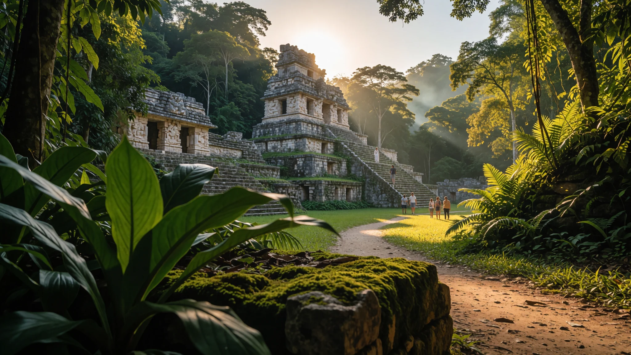
Palenque packs some of the finest Maya stone carving into a jungle site you can walk round in a morning or a lazy day.
The place
Palenque was a Maya city-state in the Chiapas lowlands of southern Mexico, close to the Usumacinta River and a short drive from the modern town that now shares its name. Its ruins lie in rainforest that was once part of the city's own surroundings. After the city declined, the jungle closed over the stonework, and much of what visitors see today has been cleared, excavated and restored. The climate is hot and wet. Expect a humid average of about 26 °C and roughly 2,160 mm of rain in a typical year, so the early mornings are the best time to walk between temples.
The site is modest in size compared with some other Maya cities, but its architecture is exceptional. Temple platforms rise in tiered terraces, the stucco and relief panels are finely cut, and the roof combs that once crowned the buildings still hold the eye. Much of what we know about Palenque comes from its inscriptions, which record a long royal line and its rivalries with neighbouring cities. Only a small fraction of the city has been dug out, and the forest still hides many more mounds beneath its canopy.
The modern town sits beside the ruins with a small central square, hotels and a few places to eat, and the wider region has waterfalls and river pools within reach. The site carries a UNESCO World Heritage listing. Go in the early hours, carry water and expect to walk on uneven stone for most of the visit.
Its story
Palenque's early history is hard to read. The founder of its dynasty, K'uk' Bahlam I, appears in the Temple of the Foliated Cross with a title tied to sacred kingship, and the inscriptions use a wide range of emblem glyphs, which hints at a crowded and layered political world. What is clearer is the pressure the city faced. Its larger rival Calakmul and that rival's allies attacked in 599 and again in 611, and the famous buildings visitors see today probably reflect a rebuilding effort in response.
The rebuilding was led in large part by K'inich Janaab' Pakal, known as Pacal the Great, who ruled from 615 to 683. Under his rule, the city's artistic and building traditions flourished anew. He is best remembered through the Temple of the Inscriptions, a terraced monument raised over his tomb. The long text in its upper walls gave the temple its name. When Alberto Ruz Lhuillier excavated the burial, it was the richest and best-preserved scientifically excavated tomb of its kind known from the ancient Americas at the time. That status was later overtaken by other finds, including the burials at Sipán in Peru.
Palenque is also valued for its writing. The hieroglyphic texts made under Pakal, his son K'inich Kan Bahlam II and his grandson K'inich Akal Mo' Naab cover much of the city's history. Heinrich Berlin, and later Linda Schele and Peter Mathews, used them to set out the first dynastic list for any Maya city. Much of what we know about the royal line, and its feuds with states such as Calakmul and Toniná, comes from reading these carvings rather than from any single chronicle.
What to see
- The archaeological ruins — The archaeological park, Palenque
The core of the ruined city spreads through a forest clearing, with plazas, palaces and temple platforms linked by paths. Begin at the central plaza, then work outwards to the Palace, whose tower and courtyards show the variety of Palenque's building. Allow a couple of hours to walk it at an unhurried pace, and check the official site for opening times before you go.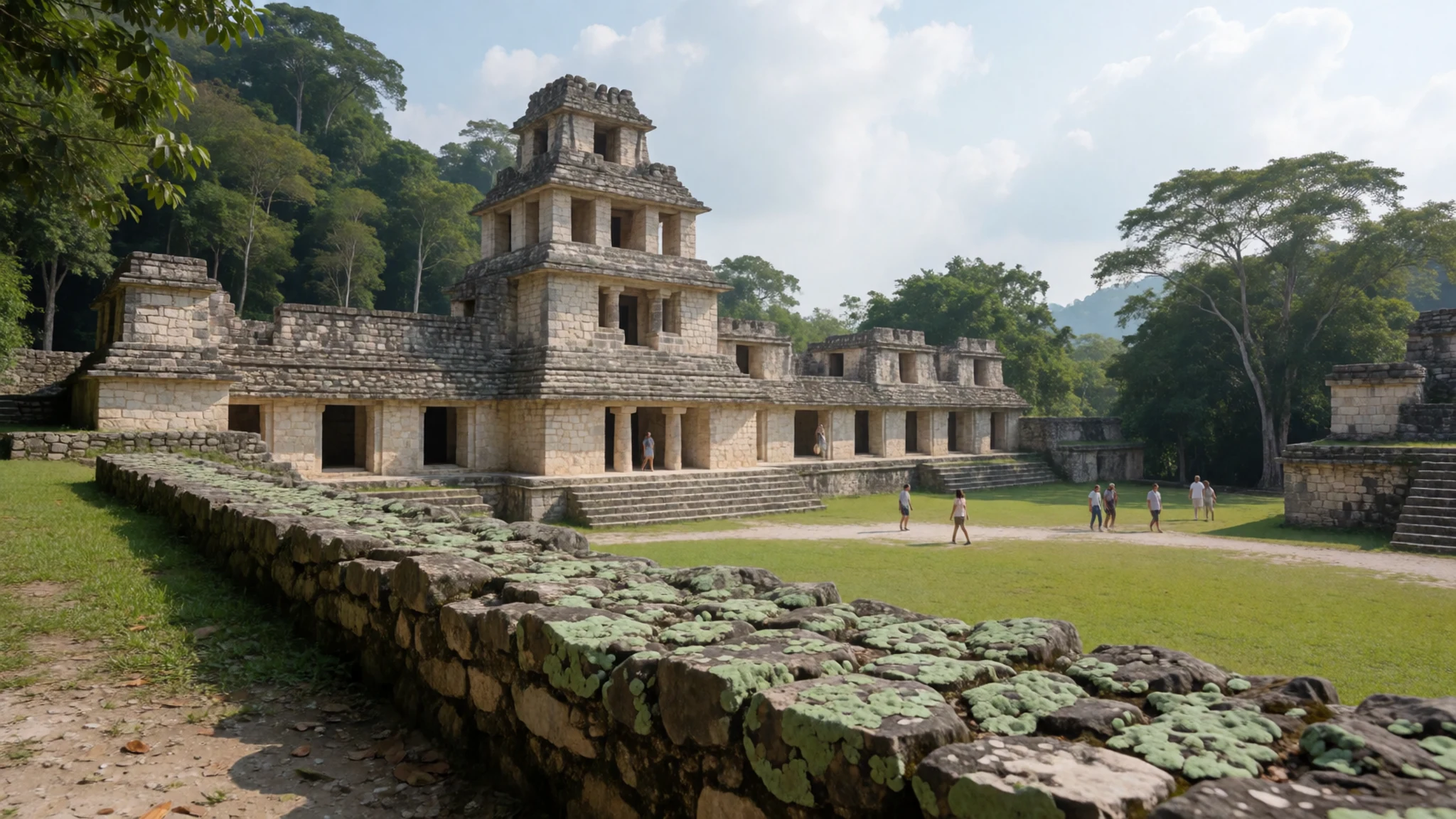
- The Temple of the Inscriptions — The central group of the archaeological park
The most visited monument is the Temple of the Inscriptions, the tall stepped pyramid that holds Pakal's tomb. Its upper walls carry the long text that gives it its name, and the panels are best seen from the plaza below. The tomb itself is reached by a separate route within the temple, and access rules can change, so check before you go.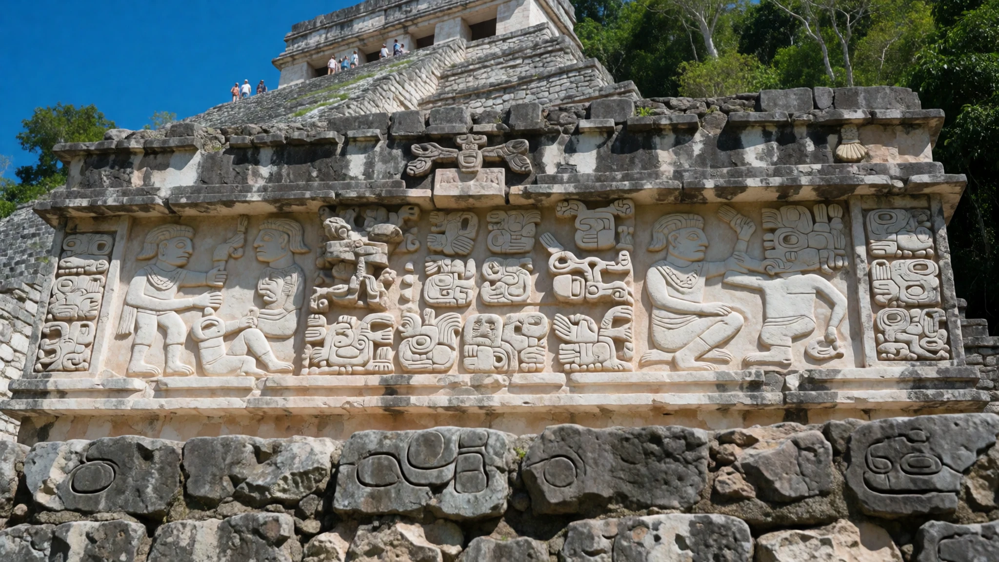
- Motiepa Waterfall — Inside the archaeological park
Within the archaeological park, the Motiepa Waterfall drops over rock close to the ruins, a welcome place to cool down after the climb to the temples. The pools are fed by the same rainforest streams that once supplied the city. Swimming conditions vary with the rain, so ask at the entrance before you wade in, and wear shoes that grip wet stone.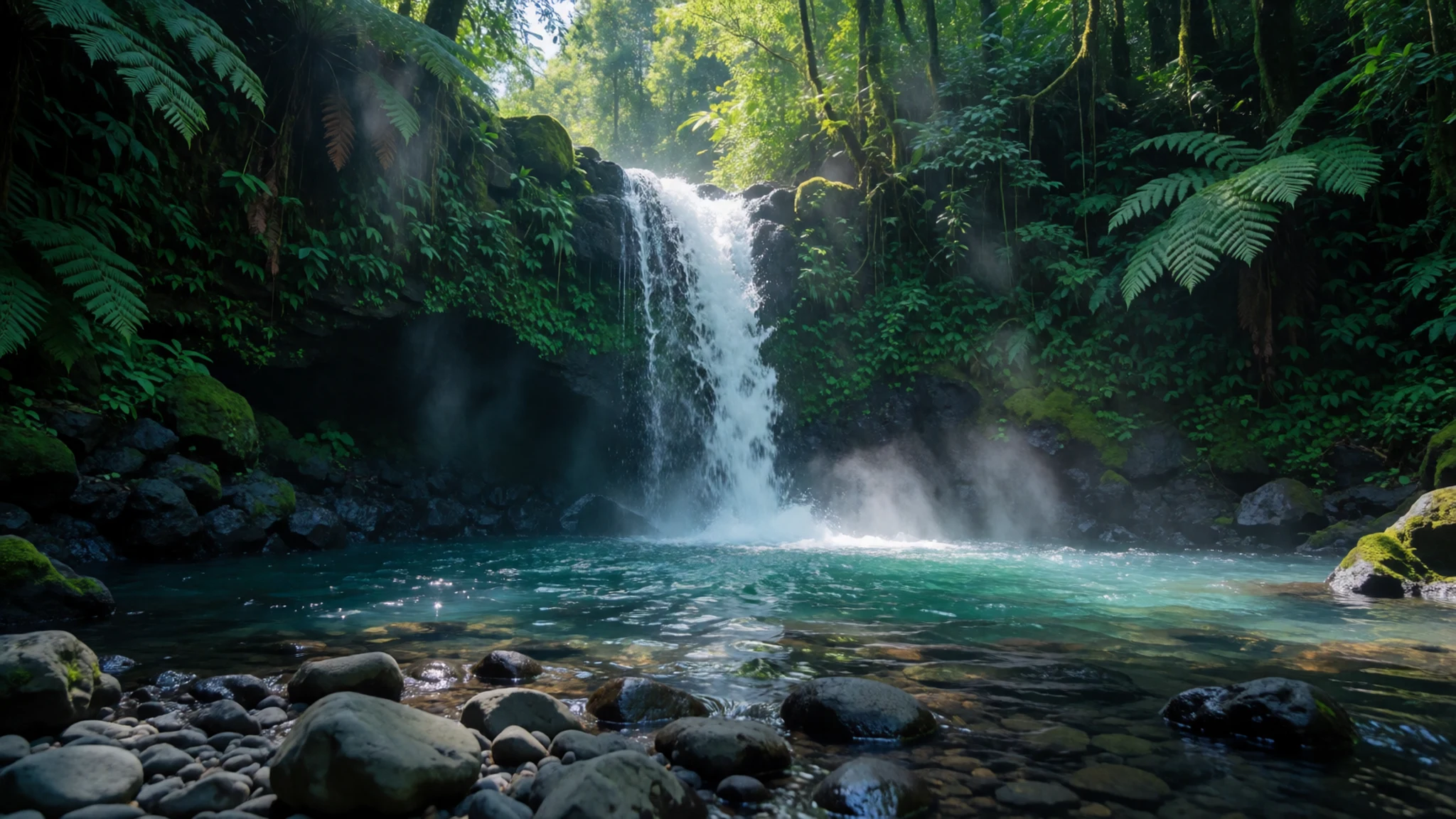
- Sombrillas Waterfalls — Inside the archaeological park
The Sombrillas Waterfalls also sit inside the site, a short walk from the ruins, and tend to be quieter than the main plazas in the middle of the day. Bring water and a hat, since the shade is patchy on the paths. Use them as a cooling break between temples, and leave the place as you found it.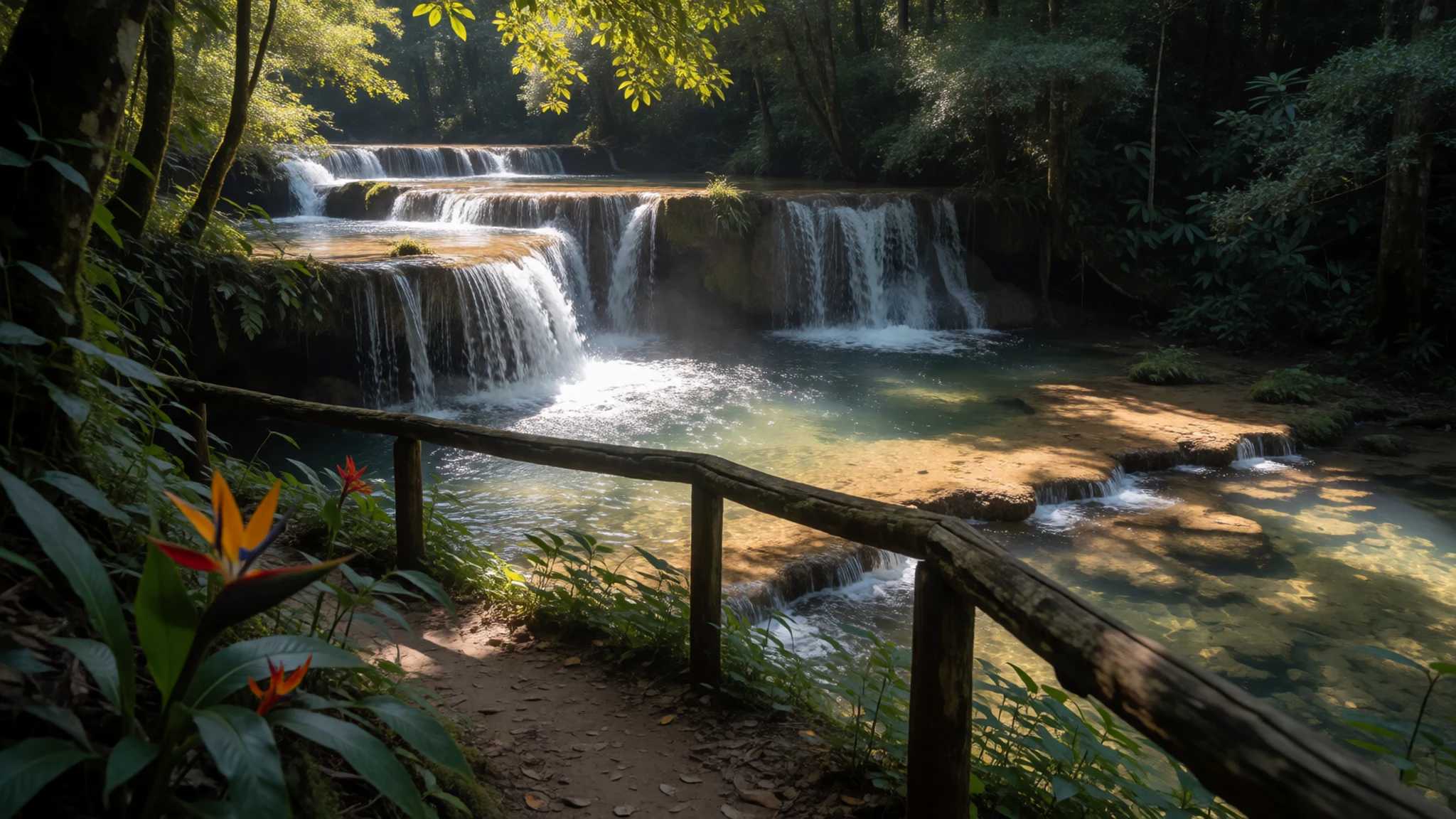
Culture
Palenque is both an archaeological park and a living Maya region, and the villages around it keep their own customs and languages. Many people you meet, in the town and in outlying communities, speak a Mayan language alongside Spanish, and a short greeting such as 'buenos días' or 'buenas tardes' is warmly received at a stall or guesthouse. Local guides take pride in the ruins and often explain the carvings in careful detail, and a tip for a good guide is customary. Religious life in the region is strong, with festivals that bring processions, music and crowds, so pause before you join in or photograph anything. In the town, evenings are quiet and most places close earlier than visitors from big cities expect, so plan supper accordingly. Haggling is part of some markets, but keep it good-humoured and do not push prices down on handicrafts that took weeks to make. Ask before photographing people at festivals, and keep to the marked paths at the site, never climbing on the stone platforms or touching carved panels.
What to wear
Palenque sits in Chiapas, where Maya communities have long woven and embroidered their own dress, and the traditional garment is the huipil, a loose blouse or tunic with embroidered panels. Designs vary from village to village and carry local symbols, worked in cotton on the backstrap loom, with wool used for warmer highland pieces. Skirts, sashes and shawls complete the outfit, and women wear them for church, festivals and market days. Many people in the town and nearby villages now dress in ordinary Western clothes for work and school, keeping the huipil and other traditional pieces for ceremonies and special occasions, though you will still see them in daily life in outlying communities. Around the ruins, people mostly wear light cotton shirts, shorts or long trousers, and simple sun hats. For your own visit, the climate is hot and humid, so choose loose, breathable cotton or linen that dries quickly. Wear closed shoes with good grip, since stone steps and paths are slippery after rain. Cover shoulders and knees when you visit villages or churches, and take a light layer for air-conditioned buses.
What to eat
- Tropitaco special — A taco diner in the town, the kind locals mention first
A legendary local taco diner is the sort of place to try the tropitaco special, the house version topped with slices of pineapple. The sweet fruit cuts through the savoury meat, and the order is simple: name the filling and wait for the tortillas.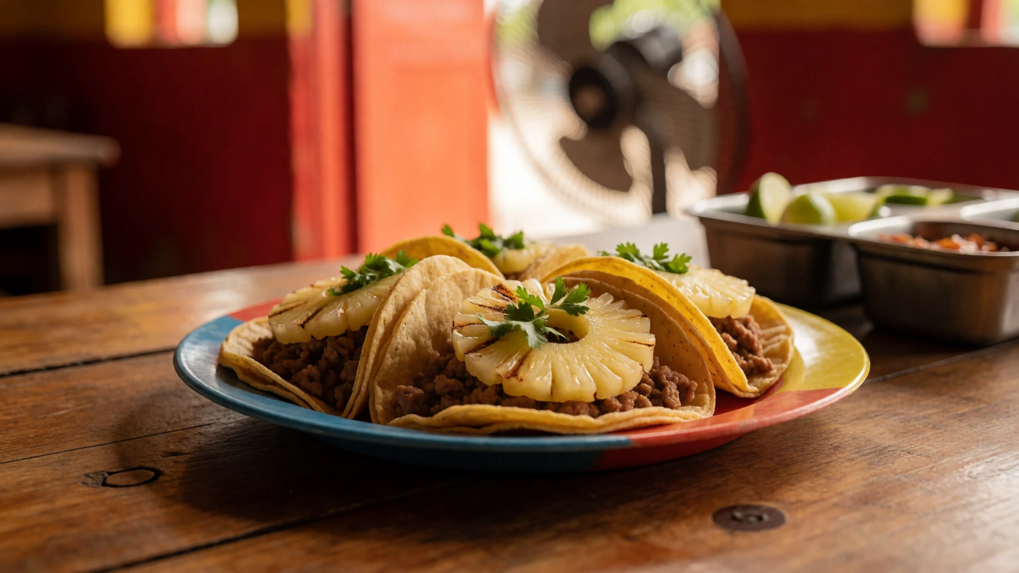
- Stone-oven pizza and live music — The road out to the ruins
El Panchan, the cluster of cabins and eateries on the road out to the ruins, is known for stone-oven pizzas and live music. It makes a good end to a day of walking. Go early for a quieter table.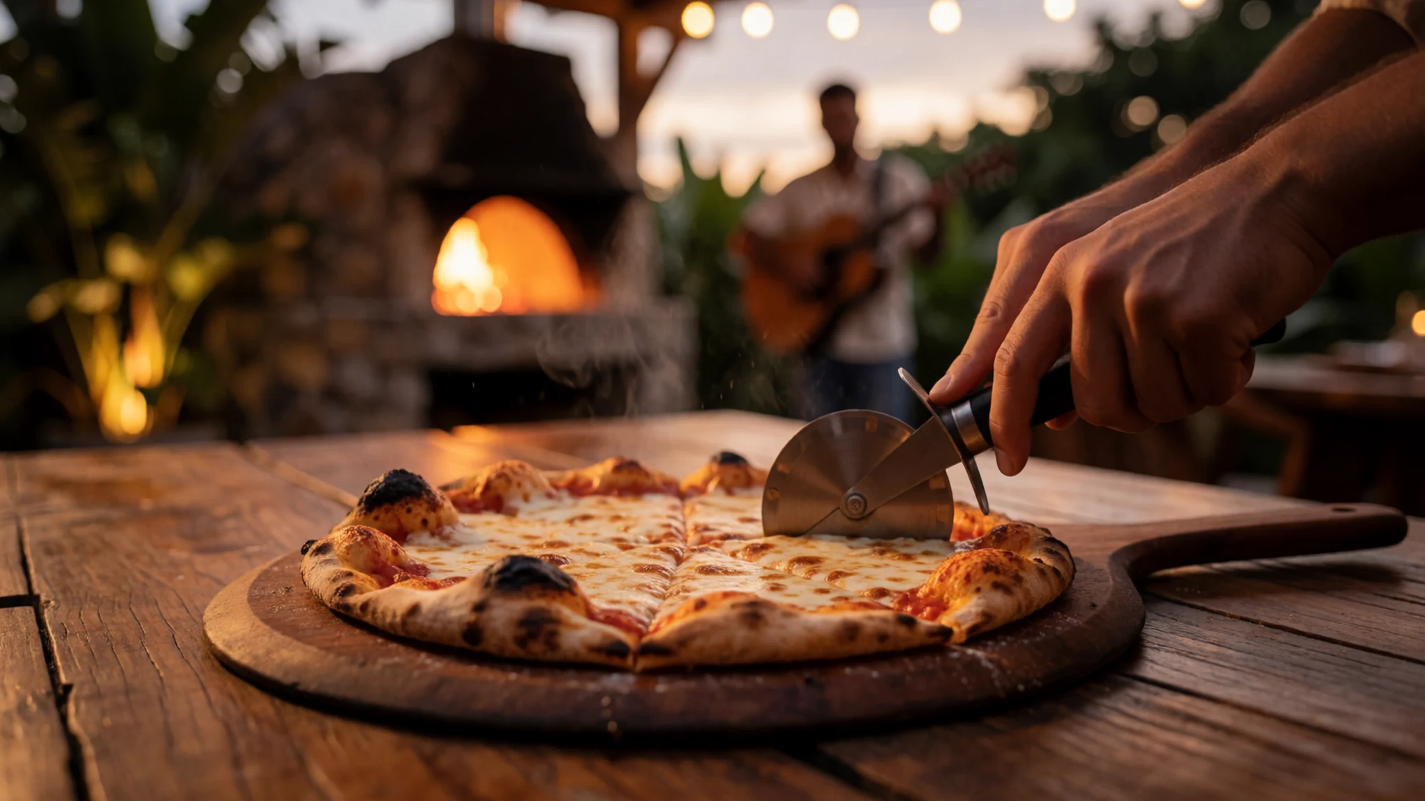
- Charcoal-grilled chicken — Grill stalls around the town centre
Charcoal-grilled chicken is a staple across the town, and the grill stalls around the town centre are the easiest place to find it. Order it with tortillas, beans and a fresh salsa for a filling lunch. A whole bird is often enough for two. - Evening snacks on the square — The village square and the streets near Parque Central
The shaded village square is where locals gather in the evening, and bands sometimes play. Buy a snack from a nearby stall or sit with a drink and join the crowd. Most places close earlier than city visitors expect, so plan a light supper.
Plan it
Best time. The driest stretch runs roughly February to April, which suits walking the ruins, though it is hot. Expect a humid climate all year, averaging about 26 °C and around 2,160 mm of rain, so afternoon storms are common in the wet months.
How long. 1–2
Getting there. Villahermosa airport is about two hours away by road, and the easiest last leg is a bus, with regular ADO services from Villahermosa and San Cristóbal de las Casas. The Tren Maya terminus is also in Palenque.
Budget. low
Tips
- Start at the ruins early, before the heat builds and the tour groups arrive.
- Carry water and a hat, since there is little shade on the open plazas.
- Bring cash for small restaurants and village stalls, as cards are not always accepted.
- Book a room in town early in the high season, and check whether a guesthouse sits inside or outside the town limits.
- Save a stop at the waterfalls for after the ruins, and check conditions after heavy rain.
Etiquette
- Keep to marked paths and do not climb the stone structures.
- Ask before photographing people, especially in villages and at ceremonies.
- Dress modestly when you visit churches and communities.
Nearby
Sources
- Wikidata Q181427 (CC0)
- Wikipedia (Palenque) (CC BY-SA 4.0)
- Wikivoyage (Palenque) (CC BY-SA 4.0)
- Palenque, Majevsko mesto (photo 01) (CC BY 3.0)
- Upper middle panels, Temple of Inscriptions (photo 02) (CC BY 3.0)
- Red Queen funerary mask (photo 03) (CC BY-SA 2.0)
- Tumba de Pakal, Chiapas (photo 04) (CC BY 3.0)
- Bas-relief Maya Classique (photo 05) (CC BY-SA 4.0)
- Cross Group, Cross temple (photo 06) (CC BY 4.0)
- The Palace and aqueduct (photo 07) (CC BY 4.0)
- Northern Group, Palenque Ruins (photo 08) (CC BY-SA 2.0)


