Olympic National Park
Olympic National Park, United States
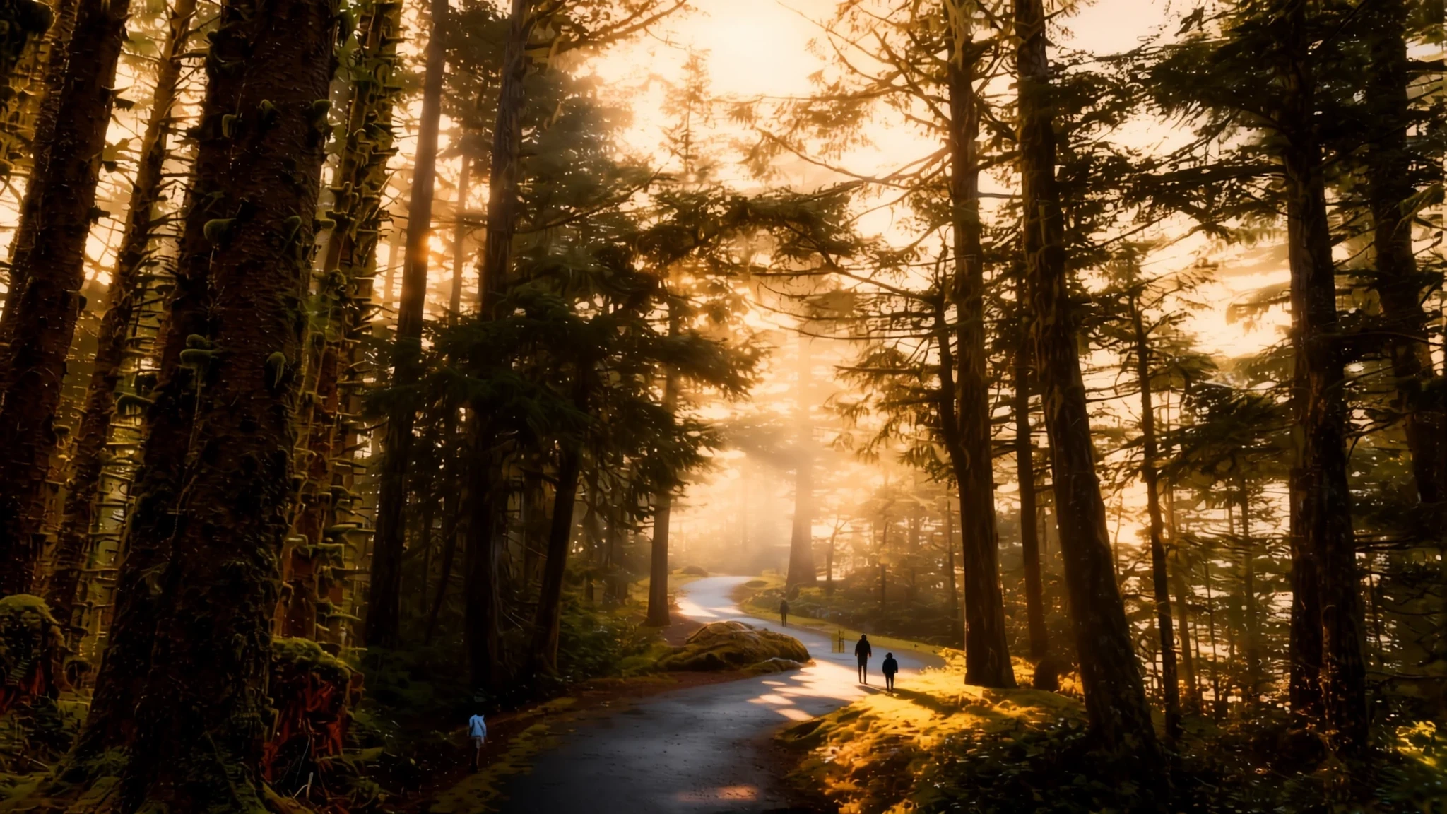
Olympic National Park packs rainforest, glacier-carved lakes, alpine meadows and wild Pacific beaches into one park in Washington State.
The place
Olympic National Park sits on the Olympic Peninsula in Washington State, in the north-west corner of the United States. It is split into two non-contiguous sections: a large central block covering the Olympic Mountains, and a strip of coast where the peninsula's western edge meets the Pacific Ocean. Within those boundaries the land changes quickly. Wet temperate rainforest fills the western valleys, where constant rain feeds moss-draped trees and fast rivers. Higher up, subalpine forest opens into wildflower meadows, and the drier eastern side of the peninsula has forests of a noticeably different character. The coastline is rough, with sea stacks, tide pools and driftwood piled above the high-water line.
The land was first protected in 1897, when President Grover Cleveland created the Olympic Forest Reserve, before Theodore Roosevelt set aside Mount Olympus National Monument in 1909. Congress and President Franklin D. Roosevelt redesignated it a national park in 1938. Around 95 percent of the park was later designated as wilderness in 1988, which makes it the largest wilderness area in Washington. UNESCO recognised the park as an International Biosphere Reserve in 1976 and as a World Heritage Site in 1981.
Visitor numbers are substantial, with over 3.7 million visits recorded in 2024. Many people stick to a handful of roads and lookouts, but the real character of the park shows up on foot. The wet western side stays green through most of the year, while the high roads can be closed by snow in winter.
Its story
Olympic National Park's story begins long before any park boundary was drawn. Indigenous peoples lived on the peninsula for generations, fishing its rivers and hunting in its forests, and recent archaeological surveys suggest they also used the high subalpine meadows far more than earlier accounts assumed. European settlers arrived later, and the forests at the edges of the mountains became contested land.
The protective story began with conservation campaigns in the early 1900s. Theodore Roosevelt created Mount Olympus National Monument in 1909, which put the mountain core under federal protection. Its boundaries grew over the following decades. In 1953 President Truman added the narrow Queets corridor, so that an entire glacially carved river valley could be kept from its source to the sea. The monument became a national park in 1938 under Franklin D. Roosevelt.
Later decisions made the wild core more secure. In 1988 Congress designated most of the park as wilderness, a status that limits roads and development. That wilderness was renamed in 2017 after Daniel J. Evans, who had served as Washington's governor and later as its senator, was one of the co-sponsors of the 1988 legislation that established the state's wilderness areas. Since 1976 and 1981 the park has also carried international recognition as a biosphere reserve and a World Heritage Site. The current story is one of balance: protecting old-growth forest and salmon rivers while handling millions of visits each year.
What to see
- Hoh Rain Forest — Western valleys
The Hoh Rain Forest is the park's classic rainforest valley, shaped by the Hoh River and by a climate that drops heavy rain for much of the year. The wet air builds a dense green canopy of very old trees, while thick mosses and ferns cover the forest floor, fallen logs and the bigleaf maples. Short loop trails start near the visitor centre and suit a relaxed half-day walk. Summer car parks fill early, so arrive in the morning.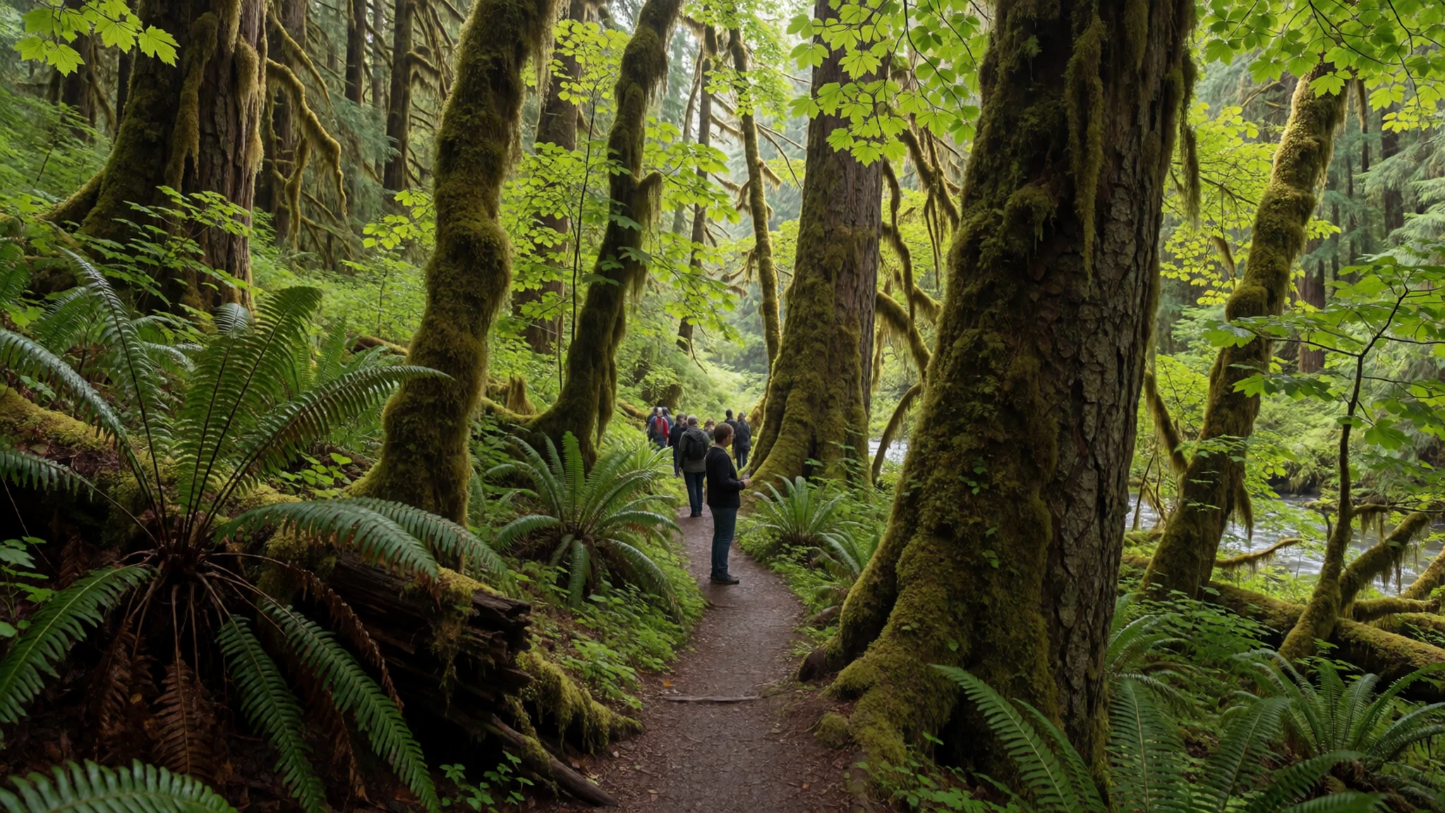
- Hurricane Ridge — Northern mountains
Hurricane Ridge is the simplest mountain area in the park to reach by road. In clear weather the views stretch across the Olympic range, with subalpine fir groves and meadows in the foreground. Trails lead from the visitor area into heather and wildflowers in summer. In winter the same road serves snow play and cross-country skiing, so check conditions before you drive up. Weather on the ridge can change within an hour, so bring warm layers.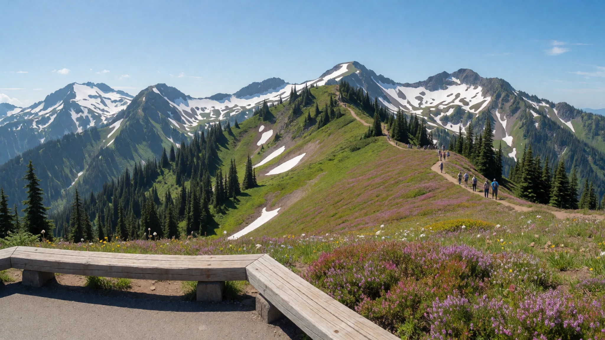
- Lake Crescent — Northern foothills
Lake Crescent lies in the northern foothills of the Olympic Mountains, a deep lake carved by glaciers and filled with very clear water. A huge landslide long ago cut it off from the surrounding valley, which shaped the lake's setting. Lakeshore paths and short walks reach quiet bays. Calm mornings give the best reflections, and the lake sits close to the park's northern road, so it fits neatly into a loop drive.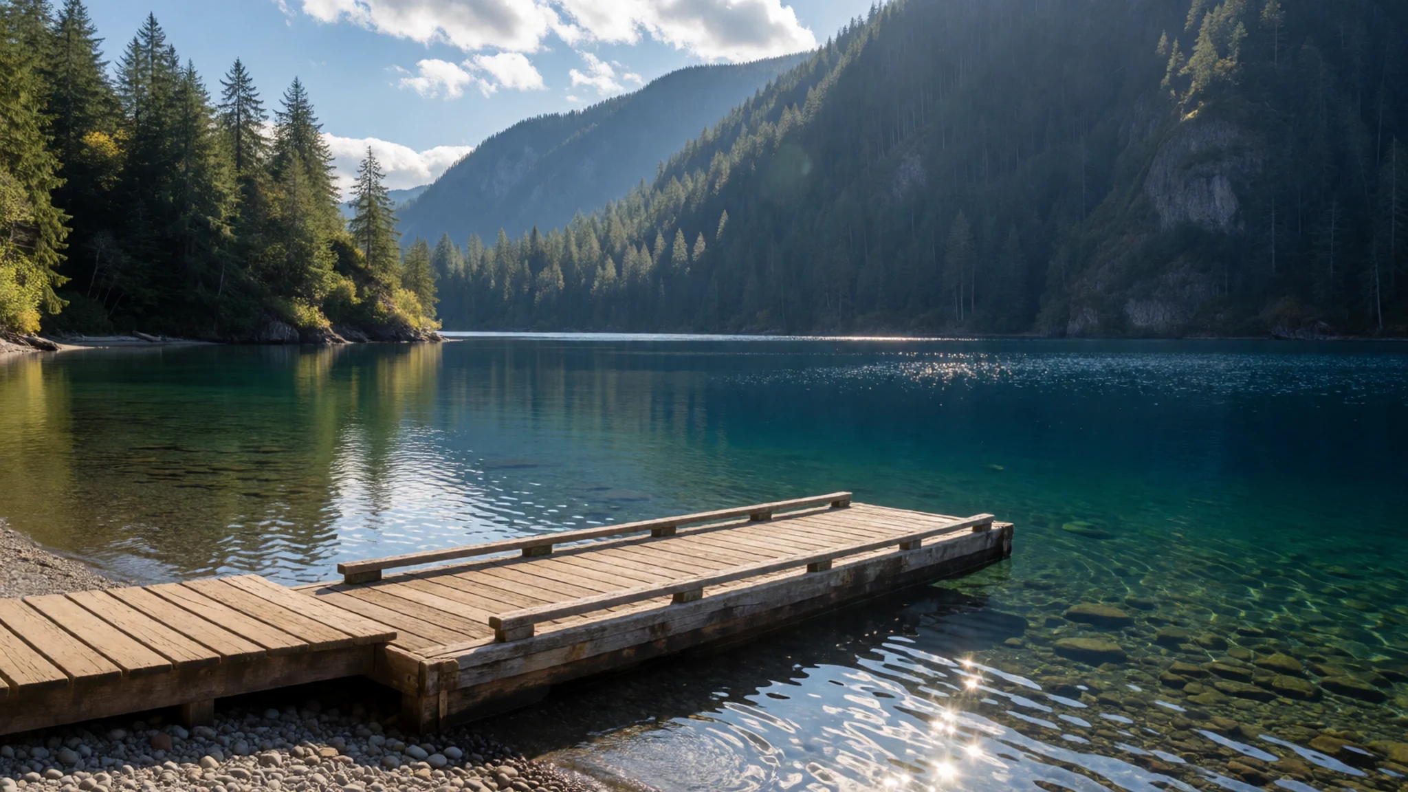
- Sol Duc Valley — North-west interior
The Sol Duc Valley combines old-growth forest, subalpine lakes and snowy peaks. The Sol Duc River carries coho salmon up through the valley towards the lakes and headwaters, so the salmon run is a real draw when the fish are moving. Trails lead to waterfalls and to the higher lakes. Pack a rain jacket even in summer, because the valley is wet for much of the year.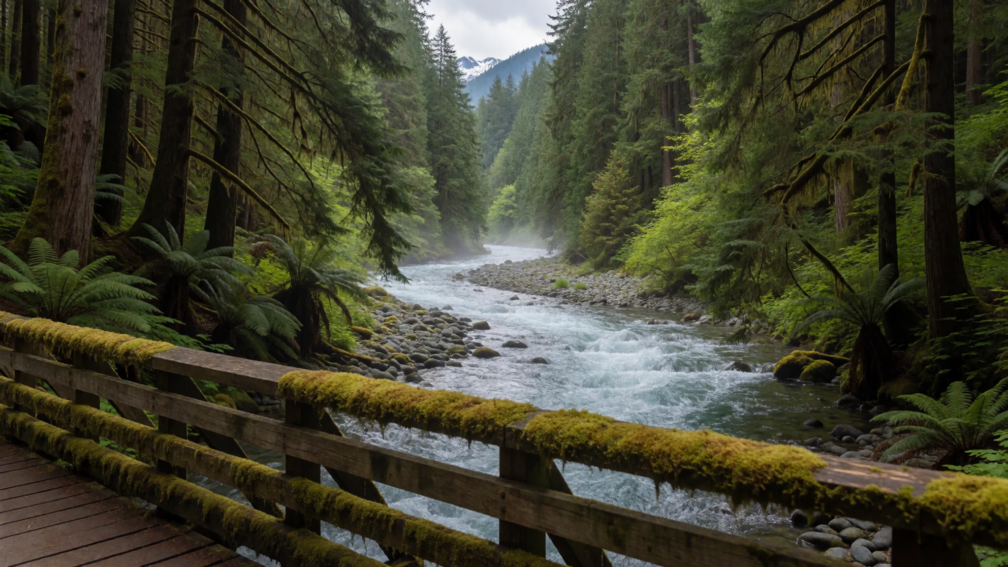
- Kalaloch and Ruby Beach — Pacific coast
Kalaloch is one of the park's most visited coastal areas, reached from the coast highway in the Pacific section. Beaches here have sea stacks, tide pools and tree trunks washed up and left on the sand. Ruby Beach nearby gives a good view of Cedar Creek and Abbey Island. Tides matter, so check tide times before you walk the rocks, and keep off the slippery kelp.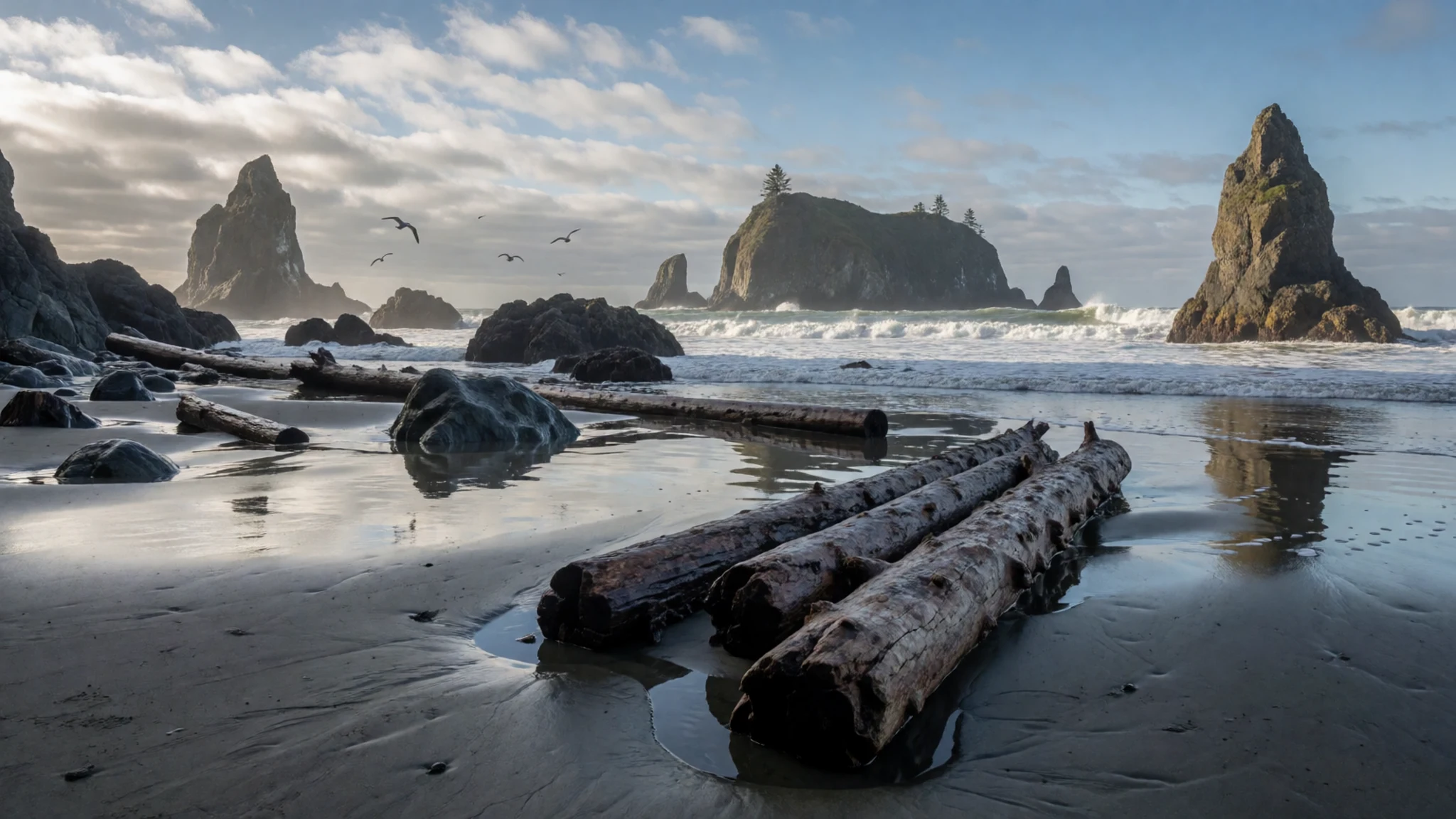
Culture
Olympic National Park is a working wilderness, and its culture is shaped by how people treat its wild places. Several Indigenous nations have lived on the peninsula for a very long time, fishing its rivers and gathering in its meadows, and their connection to the land is part of the park's story. Visitors meet that history through interpretive signs, ranger talks and the rivers themselves, where salmon still run.
Wildlife sets the everyday rules. Black bears and cougars live in the forest, and the park asks visitors to keep a long distance from bears and a shorter but still firm distance from other animals. Do not feed the deer that are common on roads and campsites. Store food securely at campsites, and check trailhead boards for recent sightings.
On the coast, tide pools and beach debris are protected. Leave shells, stones, driftwood and anything living where you find it, and do not climb on the rounded logs that wash ashore. Quiet is valued at campgrounds and lodges, especially early in the morning. Photograph landscapes freely, but ask before photographing people at cultural events or ceremonies. Keep tide pools and wildlife undisturbed, and report a stranded animal to a ranger rather than moving it yourself.
What to wear
Olympic National Park has no single formal dress, but the traditional textiles of the region are worth knowing. Northwest Coast peoples wove cedar bark into hats and capes that shed rain well, and some made blankets from mountain goat wool. Those materials were chosen for weather and durability, which still matters on this coast.
What people wear now is practical outdoor clothing. Waterproof shells, fleece, wool base layers and sturdy boots are the norm on trails, and flannel shirts are common in the coast towns. Cotton holds water and chills quickly, so many locals avoid it on wet days. In summer, the high meadows can be warm and sunny while the valleys stay cool and damp.
A visitor should wear layers that work in rain, sun and wind, a waterproof jacket, and boots with good grip for mud, roots and wet rock. Pack a warm hat and gloves even in summer if you plan to go up to the ridges. Sunscreen and a cap help on open meadows. Dress is relaxed throughout, although a clean layer is a good idea for dinner at a lodge or for any ceremony you are invited to attend.
What to eat
- Wild Pacific salmon — Waterfront eateries in Port Angeles and the smoked fish shops along the coast highway
Salmon is the most reliable local dish on the peninsula, grilled, smoked or cured. Coho and other Pacific salmon return to the rivers each year, and the Sol Duc run is one reason the valley is so well known. Ask whether the fish was landed locally when you order.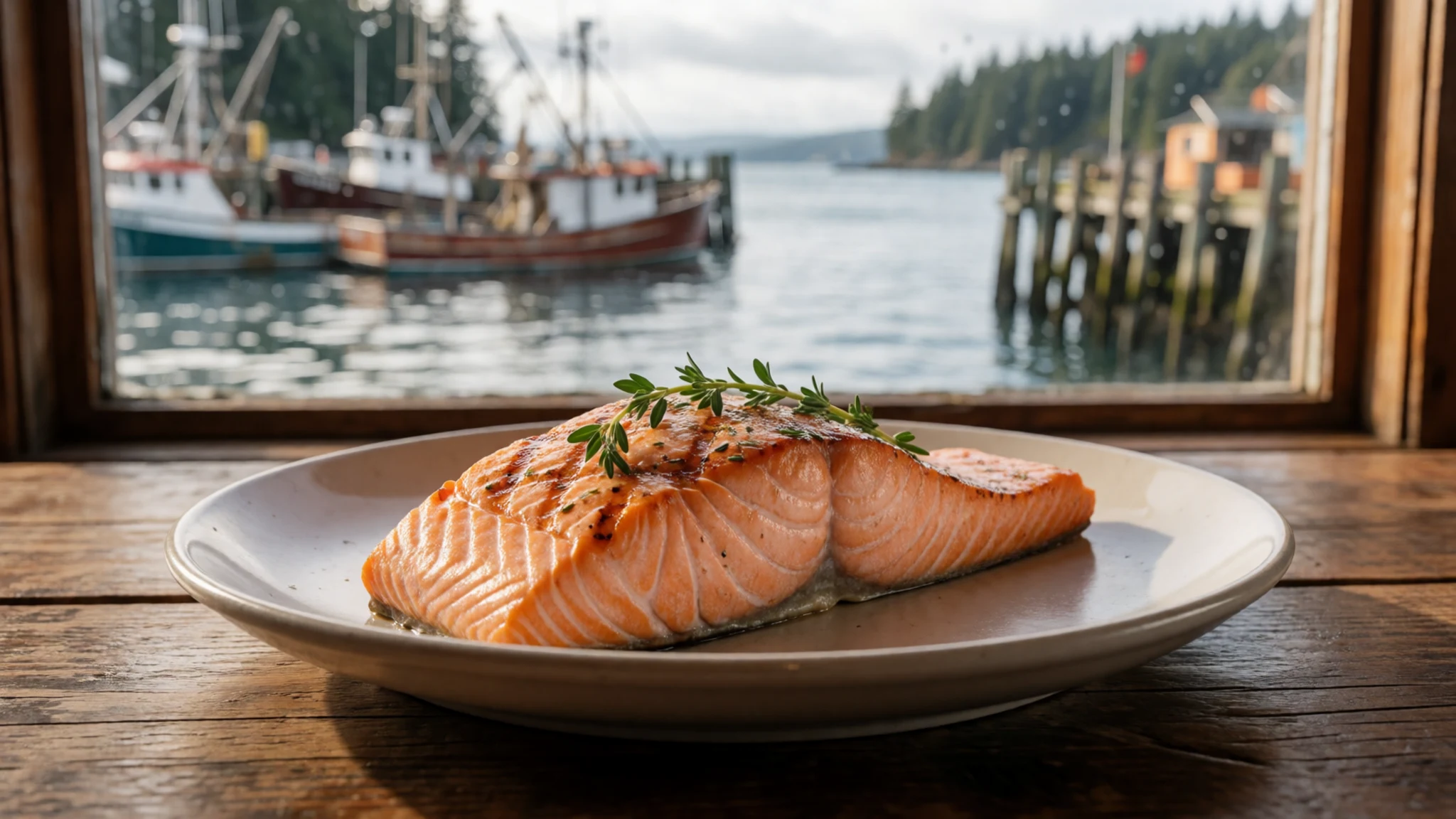
- Dungeness crab — Harbour-side eateries in Port Angeles and Port Townsend
Dungeness crab, cooked and cracked at the table, is a classic of this northern coast. Availability and season vary from year to year, so ask what is fresh before you commit. It is usually served simply with butter and lemon.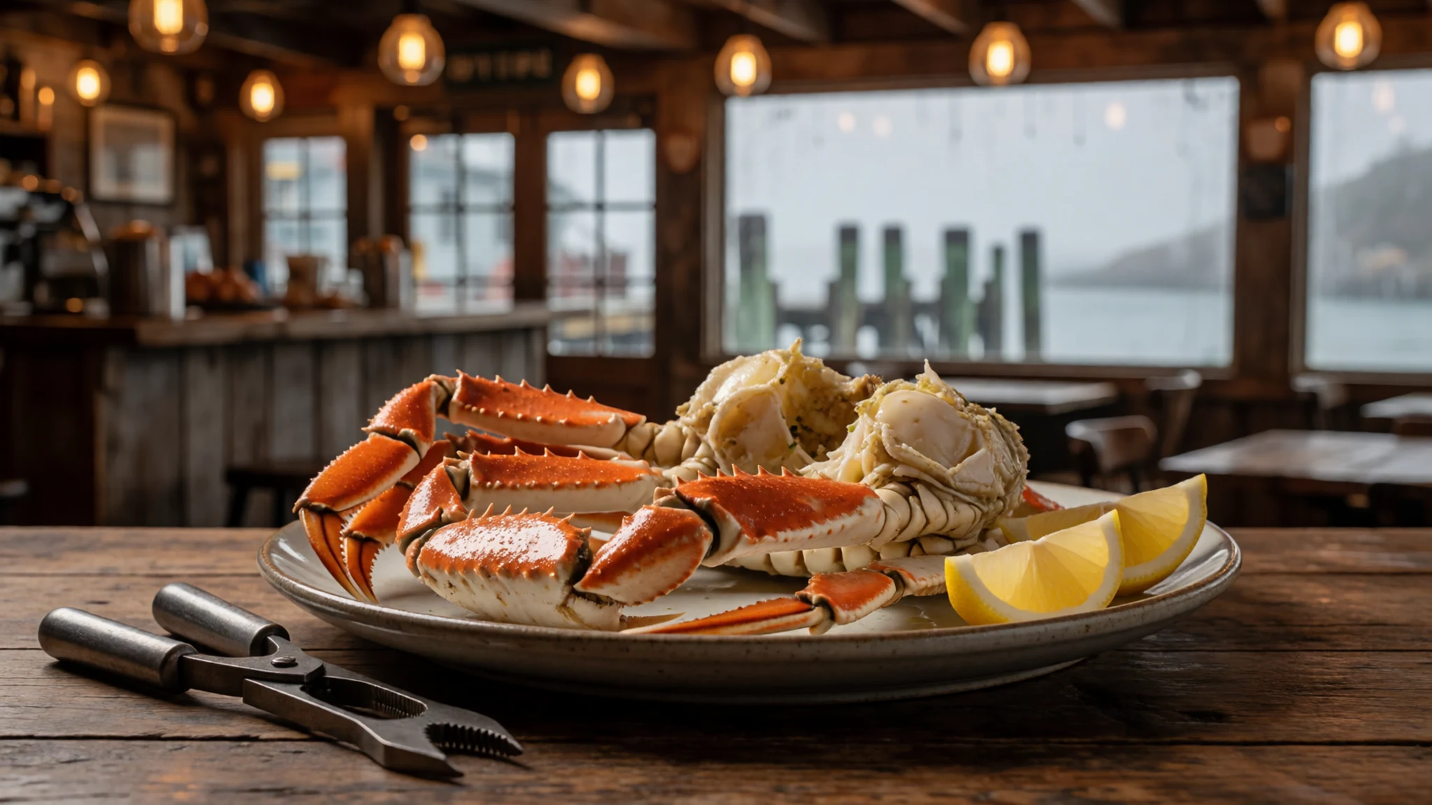
- Smoked salmon from a roadside shop — Roadside stands and smokehouse shops on the approaches to the park
Hot-smoked and cold-smoked salmon is sold at roadside stands and small shops on the way in from the highway. It makes a good picnic lunch for a hike or a drive along the coast, and it keeps well for a day in a cool bag. - Clam chowder — Casual eateries in the coast towns such as Forks and Port Angeles
Creamy clam chowder appears on many coastal menus and is a sensible choice after a wet walk. Recipes vary, with some made thick and others thin and brothy. It is a simple, filling meal for a cold, grey afternoon. - Lodge comfort food — The park lodges, which are the main dining options inside the park
Inside the park, meals are mostly served at the lodges, so this is where you will find simple burgers, soups and salads. The food is practical rather than fancy, and it suits a long day on the trails. Book a table in peak summer, when the dining rooms fill. - Huckleberry dessert — Bakeries and dessert menus in the towns around the peninsula and at lodge restaurants
Wild huckleberries grow in the mountains and appear in pies, jams and syrups across the region. Look for them on dessert menus or in bakery counters in the nearby towns. Their tart flavour pairs well with cream or ice cream.
Plan it
Best time. Late July to September suits the high meadows and most roads, and the drier weather makes the mountain trails easier to enjoy. The western rainforest is wet for most of the year, so pack for rain whatever the month. Winter brings snow to the high roads, which suits cross-country skiing but limits access.
How long. 3–4
Getting there. Seattle-Tacoma International Airport is the main gateway, and a car is essential. The last leg is by road from Seattle or Tacoma towards Port Angeles, the park's main service town, and traffic can be slow around the cities at rush hour.
Budget. mid
Tips
- Start popular trails such as the Hoh early in the day, because car parks fill quickly in summer.
- Check road and trail status before you drive, especially Hurricane Ridge in winter.
- Carry some cash for small shops and farm stands, and fill your fuel tank before heading onto the quieter back roads.
- Bring waterproof layers and extra water for hikes, even on sunny days.
- Stock up on food in Port Angeles or Forks, because dining inside the park is mostly limited to the lodges.
Etiquette
- Stay well back from bears and other wildlife, and never feed them.
- Leave shells, stones and driftwood on the beach where you find them.
- Keep noise down at campgrounds, especially early and late in the day.
Nearby
Sources
- Wikidata Q372093 (CC0)
- Wikipedia: Olympic National Park (rev 1382640237) (CC BY-SA 4.0)
- Wikivoyage: Olympic National Park (rev 5354575) (CC BY-SA 4.0)
- Photo: Hurricane Ridge (01-hurricaneridge-7392t.jpg), Wsiegmund (CC BY 3.0)
- Photo: Cedar Creek and Abbey Island (02), Adbar (CC BY 3.0)
- Photo: Big leaf maples, Hoh (03), Doug Dolde (CC BY 3.0)
- Photo: Cross-country skiing at Hurricane Ridge (04), Olympic National Park (Public domain)
- Photo: Beached whale at Ruby Beach (05), Entychologist (CC BY 4.0)
- Photo: Olympic National Park, TruFlite (06), Martin D. Adamiker (CC BY 3.0)
- Photo: Downed cypress (07), Paul Schultz (CC BY 2.5)
- Photo: Columbian black-tailed deer (08), Walter Siegmund (CC BY-SA 2.5)


