North Island
North Island, New Zealand
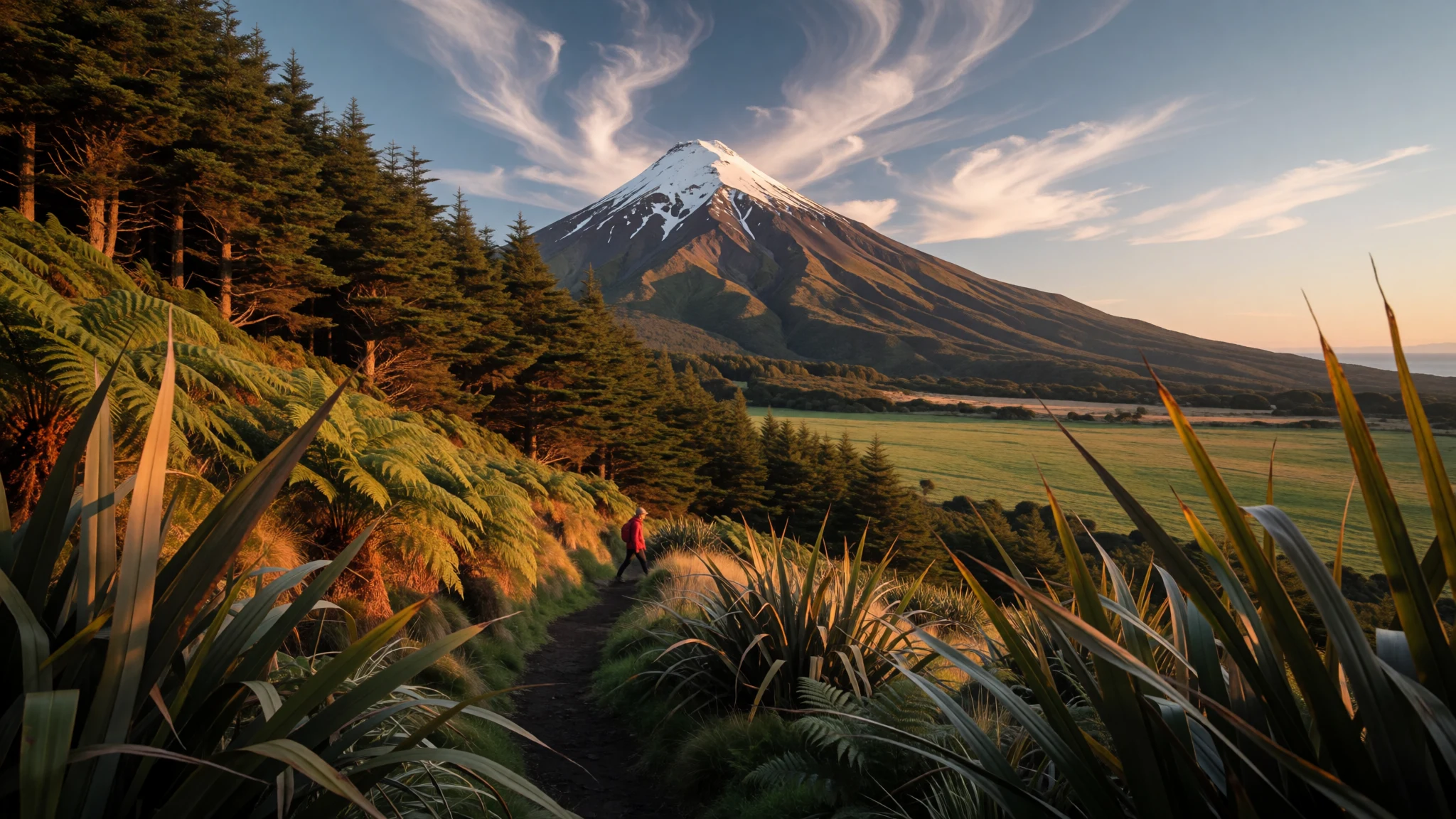
North Island packs steaming volcanic ground, long surf beaches, Māori heritage and the capital city into one compact stretch of New Zealand.
The place
North Island is the northern of New Zealand's two main islands, divided from the South Island by Cook Strait and home to about 3.5 million people, the majority of the country's population. Most of them live in a chain of towns and cities running south from Whangārei and Auckland through Hamilton, Tauranga and Rotorua to Napier, Hastings, Palmerston North and Wellington, the capital, tucked into the south-western tip. Away from the cities the island is volcanic and restless. A plateau fills the middle, with Lake Taupō filling a large hollow and the Tongariro peaks to the south, where Ruapehu reaches 2,797 m. Mount Taranaki stands on its own near the west coast, a lone cone that is often hidden in cloud. The coastline changes character every couple of hours' drive. Northland narrows towards Cape Reinga and runs down the long, open sweep of Ninety Mile Beach; the Bay of Islands offers sheltered water and old settlement sites; the Coromandel Peninsula and Bay of Plenty bring surf beaches and holiday towns; East Cape stays quiet and far from everything. Inland, the Whanganui River winds through forest, and Waipoua holds the old kauri trees. Travelling here works best as a loop with slack built in, because mountain weather and slow country roads regularly rewrite the plan.
Its story
North Island carries two names, and each points to a different way of telling its past. Te Ika-a-Māui, the Māori name now co-official with the English one, means the fish of Māui, from the tradition in which the demigod Māui hauled the land up from the sea. The geological account is just as vivid. In the last ice age, with so much water locked in ice, a wide coastal plain ran across what is now the South Taranaki Bight and joined North Island to its southern neighbour; Northland was subtropical rainforest while the rest was scrub and forest. As the ice melted the sea rose and flooded the plain, opening Cook Strait and linking it to the Tasman Sea. Volcanism kept shaping the island afterwards. The central plateau, Mount Taranaki, Whakaari / White Island and the Auckland Volcanic Field all belong to this story, and Rangitoto in Auckland's gulf is young enough that its last eruptions were a matter of centuries ago. People came into this landscape and named it, and Māori place names, some of them extremely long, still cover the map. European contact began on the northern coast, where the Bay of Islands preserves some of the earliest Pākehā settlement and a number of nineteenth-century sites. Today Wellington is the seat of government, and the island holds most of the country's people.
What to see
- Tongariro National Park — Central plateau
Three active volcanoes, Ruapehu, Tongariro and Ngauruhoe, rise from a plateau of lava fields, craters and tussock in the middle of North Island. Ruapehu is the island's highest peak. Day walks and longer tramps cross the park; weather turns fast, so check conditions with the park authorities before setting out, and start early.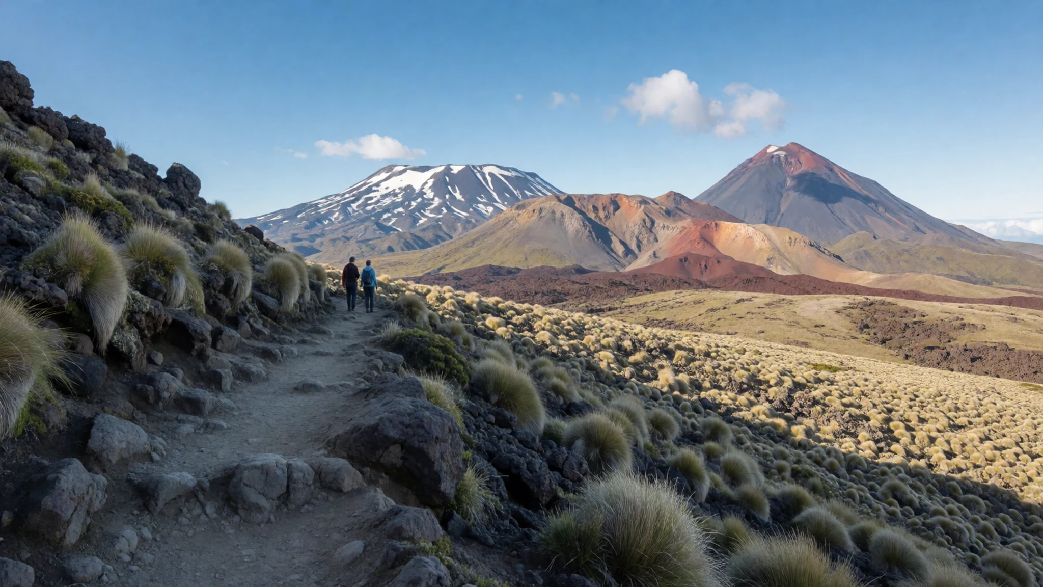
- Rotorua geothermal area — Rotorua, Bay of Plenty
Rotorua sits on active geothermal ground, with bubbling mud, steaming vents and hot pools in parks and around the town. The smell of sulphur is part of the visit. Many sites pair the science with Māori stories, so the area works as an introduction to both the landscape and the culture.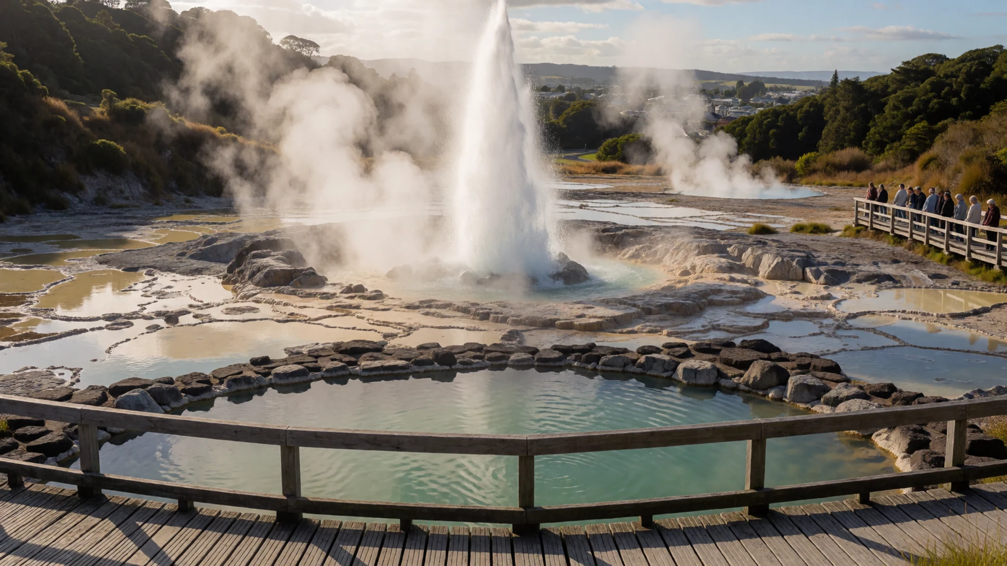
- Lake Taupō — Taupō, central plateau
Lake Taupō fills a broad volcanic hollow in the middle of North Island, with sailing, boating and fishing on the water and geothermal sights nearby. Mornings are usually calm for a swim or paddle, and on clear days the Tongariro peaks show on the southern horizon.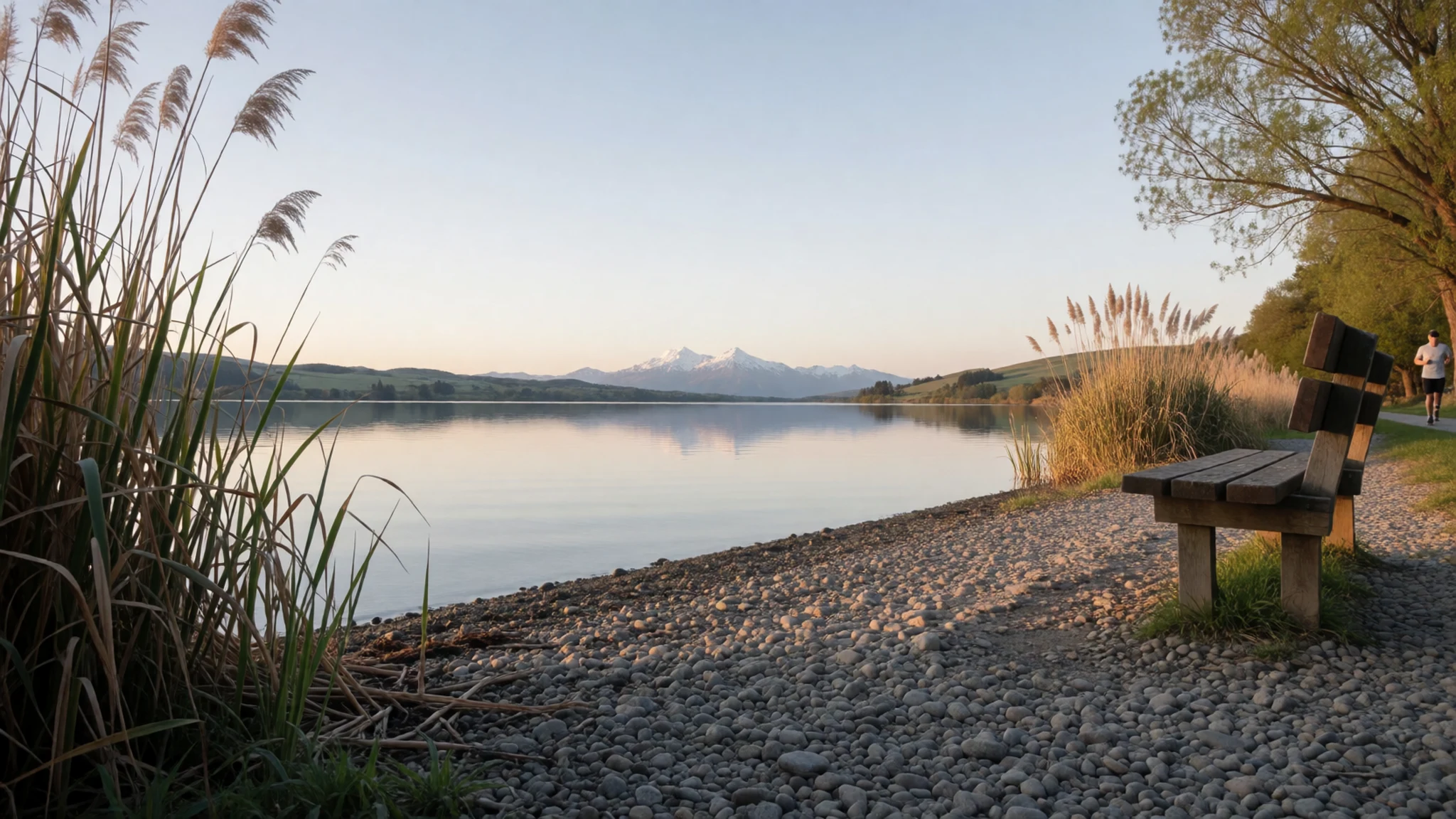
- Mount Taranaki — Egmont National Park, Taranaki
Taranaki Maunga rises alone from the western plain inside Egmont National Park, a near-symmetrical cone ringed by forest. Walking tracks of varied length start on the lower slopes, and New Plymouth on the coast is the usual base. The summit hides in cloud often, so allow a spare day.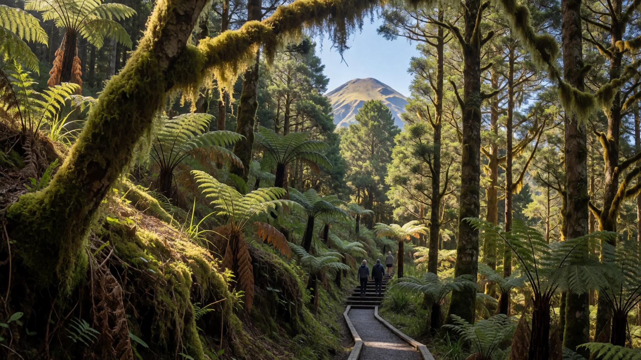
- Wellington and Te Papa — Wellington
Wellington wraps around a harbour at the island's southern tip. Te Papa, the national museum, can fill a day with New Zealand history, natural history and art. The Botanic Garden on its hillside adds views over the city, and the compact centre is easy to cover on foot.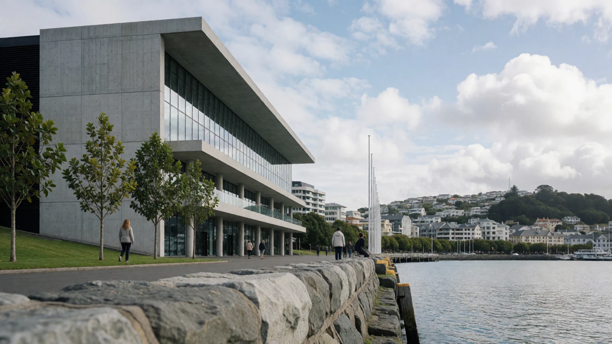
- Auckland and Rangitoto — Auckland and the Hauraki Gulf
Auckland spreads across volcanic ground and has strong museums, including the War Memorial Museum and the maritime museum for anyone who likes sailing. A ferry crosses the Hauraki Gulf to Rangitoto, a young volcanic island, for an easy half-day of lava walking and views back to the skyline.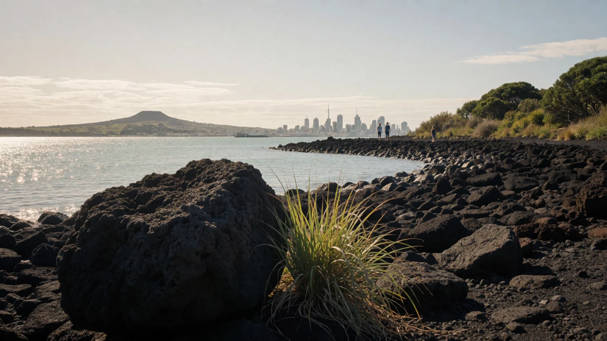
Culture
North Island is where much of New Zealand's Māori culture is most visible to a visitor, and the island's Māori name, Te Ika-a-Māui, is now used officially alongside the English one. Te reo Māori turns up on road signs, in place names and in everyday greetings such as kia ora. Around Rotorua in particular, tribal groups run cultural performances and guided visits where song, the haka, carving and cooking in the ground are explained by the people who practise them. Many towns have a marae, a meeting ground with a carved ancestral house at its centre, which is a living community space rather than a museum. Alongside Māori life sits Pākehā, or European-descended, culture: rugby on winter weekends, beach holidays over the southern summer, a strong café habit in Wellington and Auckland, and a casual, direct way of talking that can seem informal to visitors from India or the UK. Cities have lively art, music and festival calendars, and outdoor life is part of the culture too, from tramping (hiking) to sailing on the Hauraki Gulf. Wellington's Te Papa gives a good grounding in how these strands fit together. At a marae, wait to be invited on, take off your shoes before entering the meeting house, and ask permission before photographing people, carvings or ceremonies.
What to wear
Traditional Māori dress on North Island centres on fibre from harakeke, New Zealand flax. Woven flax skirts called piupiu swing at the hip during kapa haka performances, and the korowai, a cloak, is worked with feathers or tassels on a woven base and worn at graduations, weddings and formal welcomes. Pounamu (greenstone) pendants and carved bone pieces are worn as personal and family ornaments. These garments mostly appear at ceremonies and performances rather than on the street. Day to day, people dress practically: jeans or shorts, merino layers, waterproof jackets, and trainers or sandals, with Auckland and Wellington office workers leaning towards plain, dark, understated clothes. Beach towns are relaxed enough that bare feet in a shop are routine. A visitor should pack for several seasons in a day: a light waterproof, a warm layer, a sun hat and good sunscreen, since the sun is strong even on cool days. Sturdy, broken-in boots matter on volcanic trails, where the ground is loose and rocky. Cover shoulders and knees for a marae visit, and bring something smart-casual for city evenings.
What to eat
- Hāngī — Rotorua cultural evenings and community fundraisers
Meat and root vegetables cooked slowly in an earth oven over heated stones, giving a smoky, tender result. Rotorua's cultural experiences serve it, and some community events do too. Vegetarian versions exist, but ask when booking rather than on the night.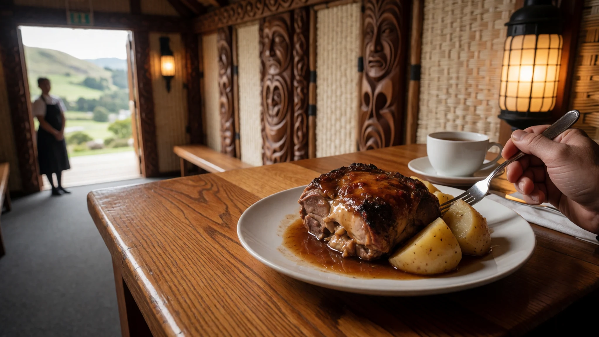
- Fish and chips — Seaside takeaway shops in the Bay of Islands, Coromandel and Napier
Fried fish and chips eaten from paper, ideally on a harbour wall or the beach. The type of fish depends on the day's catch, so ask what is fresh. It is a staple holiday meal, and an easy one for families with children.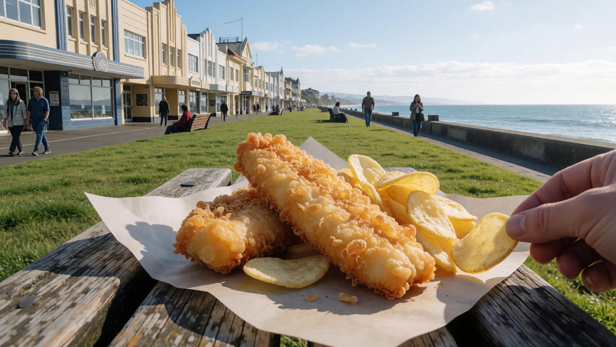
- Green-lipped mussels — Coromandel Peninsula waterfront cafés and seafood stalls
Large shellfish from coastal farms, steamed open with garlic and white wine or grilled with a crumb topping. The Coromandel is the area most associated with them. Order them as a shared starter and eat while they are hot. - Kūmara — Hāngī plates, farm stalls and café menus
Sweet potato, a root crop with a long place in Māori cooking, served roasted, mashed or as chips with sour cream. Varieties here can be paler and nuttier than the orange sweet potatoes familiar in India, so try it plain first. - Flat white — Café streets in Wellington and Auckland
Espresso topped with silky steamed milk, now the default coffee order across the island. Wellington and Auckland have serious coffee culture without much fuss. Pair it with a pastry or a savoury pie from the same counter. - Hawke's Bay fruit and wine — Farm stalls and cellar doors around Napier and Hastings
The area around Napier and Hastings grows orchard fruit and vines, sold at roadside stalls in season and poured at cellar doors. Tastings often involve driving, so arrange a designated driver or a guided tour.
Plan it
Best time. November to March, the southern summer, for warm beaches, long daylight and open mountain tracks; expect crowds and busy accommodation around Christmas and January. Seasons are reversed compared with India and the UK. Winter brings cloud, rain and snow on the volcanoes, and weather can change quickly in any month.
How long. 7–10
Getting there. Fly into Auckland, the usual gateway, or Wellington at the southern end. From the South Island, cross Cook Strait by ferry or take a domestic flight. A hire car makes the volcanic plateau and coasts easiest; check operators for coaches and ferry timings.
Budget. mid
Tips
- Book rental cars, ferries and accommodation early for December and January
- Check the forecast and park authority advice before any volcano walk, and start early
- Cards are accepted almost everywhere, but carry a little cash for rural stalls
- Traffic drives on the left, as in India and the UK, but allow extra time on winding country roads
- Wear sunscreen even on cool or cloudy days
Etiquette
- Take off shoes before entering a marae meeting house, and wait to be invited on
- Ask before photographing people, carvings or ceremonies
- Stay on marked tracks around geothermal areas and volcanoes
Nearby
Sources
- Wikidata Q118863 (CC0)
- Wikipedia — North Island (rev 1380659088) (CC BY-SA 4.0)
- Wikivoyage — North Island (rev 5371107) (CC BY-SA 4.0)
- Photo: Sailing school, Lake Taupo — QFSE Media (CC BY-SA 3.0 nz)
- Photo: North Island satellite image — NASA/GSFC/MODIS Land Rapid Response Team, Jacques Descloitres (Public domain)
- Photo: Egmont National Park — Michal Klajban (CC BY-SA 4.0)
- Photo: Tongariro National Park — Julien Carnot (CC BY-SA 2.0)
- Photo: Mount Ruapehu in autumn — AndyiH (CC BY-SA 4.0)
- Photo: Mt Taranaki, New Plymouth — enjosmith (CC BY-SA 2.0)
- Photo: Auckland skyline, May 2024 — elpinto007 (CC BY-SA 2.0)
- Photo: Wellington CBD from the east — brewbooks (CC BY-SA 2.0)


