Ningaloo Coast
Ningaloo Coast, Australia
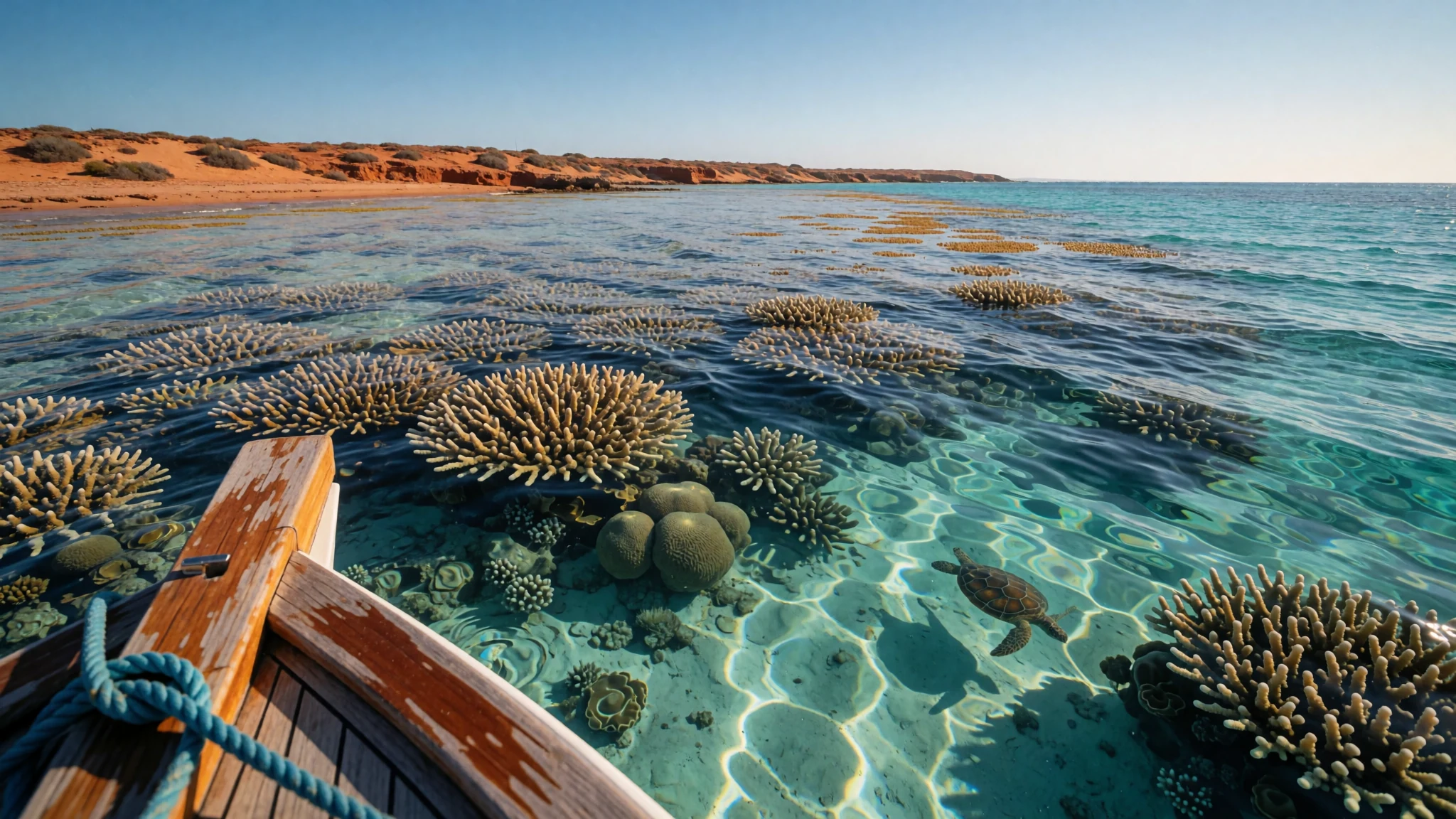
Australia's largest fringing reef, close enough to the shore to snorkel, with whale sharks in season and fewer crowds than the Great Barrier Reef.
The place
The Ningaloo Coast runs along the north-west of Western Australia, about 1,200 km north of Perth, where the Indian Ocean meets a dry, red-tinged landscape of low ranges and sandy bays. The protected area covers about 705,000 hectares, but most of the attention goes to the reef that fringes it. At 260 km long, the reef is Australia's largest fringing coral reef, and it sits unusually close to land. In places such as Coral Bay it lies less than 500 metres offshore, so the water is only a short walk from the sand.
The reef is best known for whale sharks, which gather to feed between March and August. It also supports hundreds of fish species and many kinds of coral, along with molluscs and other invertebrates. Turtles nest on the beaches, and in winter the reef lies on the migration routes of dolphins, dugongs, manta rays and humpback whales. Researchers have also found sponge gardens in deeper water that may be new to science.
The coast is quieter than its famous eastern rival. The reef draws about 200,000 visitors a year, which is busy for a remote stretch but modest beside the Great Barrier Reef. Heat is the real constraint. Marine heatwaves caused bleaching in 2011 and again in 2025, so reef conditions can change from one season to the next. Expect the coast to be sparse, with fuel, food and accommodation thinning out the further north or inland the road runs.
Its story
The name comes from a Wajarri word, ningaloo, which has been glossed as a headland or a stretch of high ground running out into the sea. The Yamatji peoples, including the Baiyungu and Yinigudura, are the traditional owners of this country, and their connection to the land and water long predates the modern history below.
Protection of the reef began in 1987, when the reef and surrounding waters were designated a marine park. The site was entered on the Australian National Heritage List on 6 January 2010. World Heritage status followed in 2011. The boundary takes in several layers of protection: Commonwealth and State marine park waters, the Muiron Islands Marine Management Area, coastal parks, Cape Range National Park, and part of the Learmonth Air Weapons Range.
The early 2000s brought a fierce dispute over a proposed resort at Mauds Landing, a key nesting beach for loggerhead turtles. Critics feared the development would degrade the wider marine park as well. The author Tim Winton, who lives in the area, spoke against the scheme, and in 2002 he gave his WA Premier's Book Award prize money to the community campaign. The resort never went ahead.
The reef's more recent history is less encouraging. Marine heatwaves caused bleaching in 2011 and again in 2025, a reminder that legal protection cannot by itself guard against warm water.
What to see
- Ningaloo Reef near Coral Bay — Coral Bay, on the southern part of the reef
Coral Bay sits on the reef edge and works well as a base for snorkelling and diving. The reef here is far less crowded than the Great Barrier Reef, and it gives a reasonable chance of seeing whale sharks in season, as well as turtles and a wide range of reef fish. Boat trips in the season should be booked well in advance.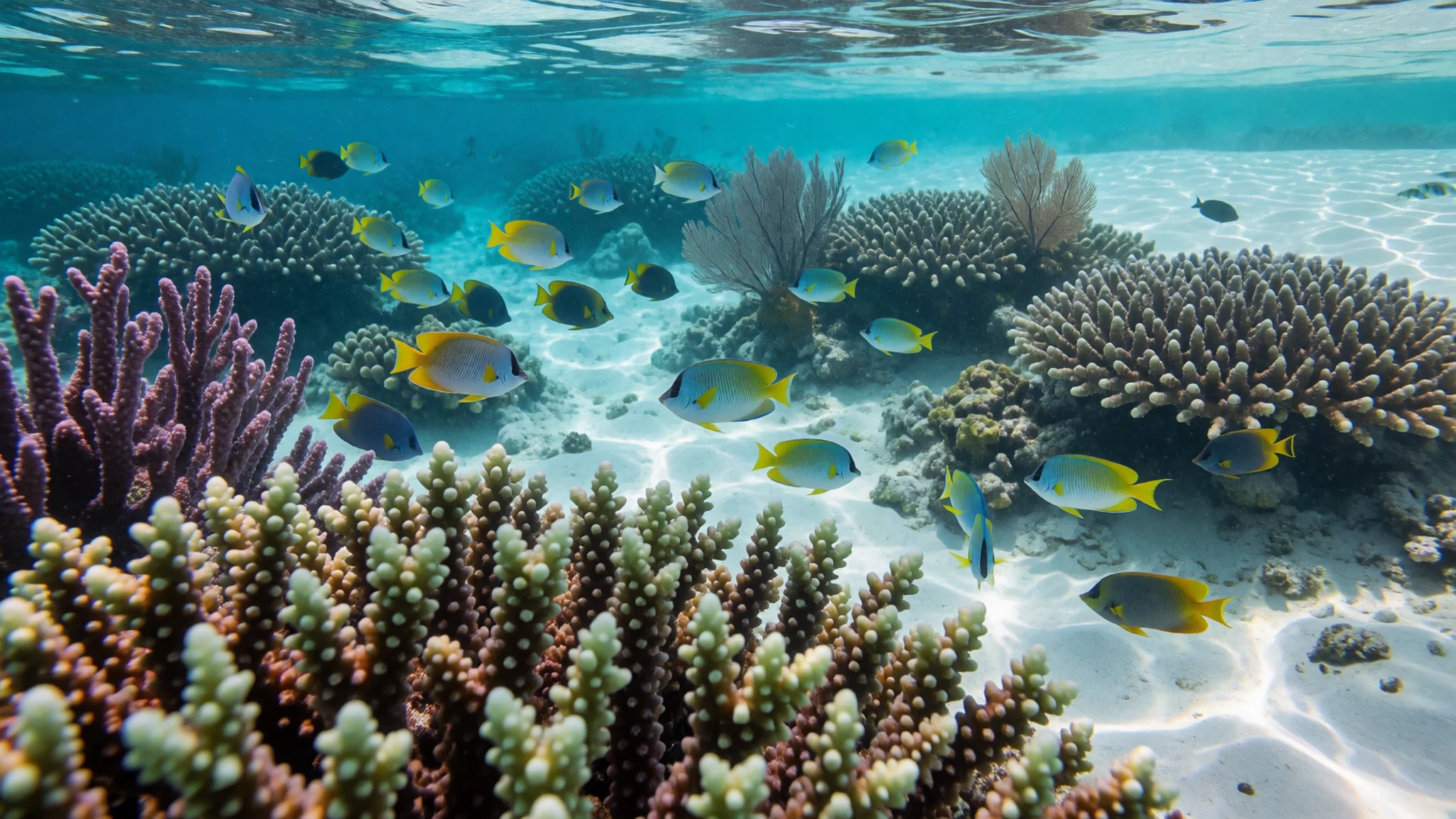
- Cape Range National Park — The Cape Range peninsula, near Exmouth
Cape Range National Park lies within the World Heritage boundary and gives the coast its landward side. Its ridges, gorges and dry inland scenery contrast sharply with the blue water offshore, and walking trails let you see the ranges up close. Carry plenty of water and tell someone your route before leaving the sealed roads.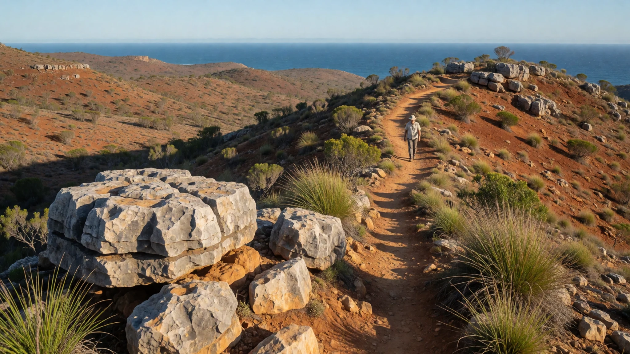
- Muiron Islands — Offshore from Exmouth, in the Muiron Islands Marine Management Area
The Muiron Islands sit inside a marine management area that forms part of the protected coastline. They are reached by boat, and the surrounding waters are a good place to look for fish, turtles and other marine life. Access depends on the operators and on conditions at the time, so check with local tour companies before you plan a day out.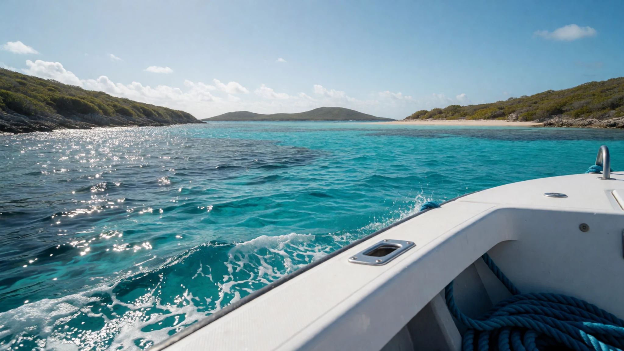
- Cape Farquhar — The northern section of the coastal zone
Cape Farquhar is named within the coastal zone and forms part of the wider protected shoreline. Few visitors reach it without some planning, so it suits anyone wanting quiet beaches and wide views over the water. Ask at local visitor centres about current access, track conditions and whether a four-wheel drive is needed.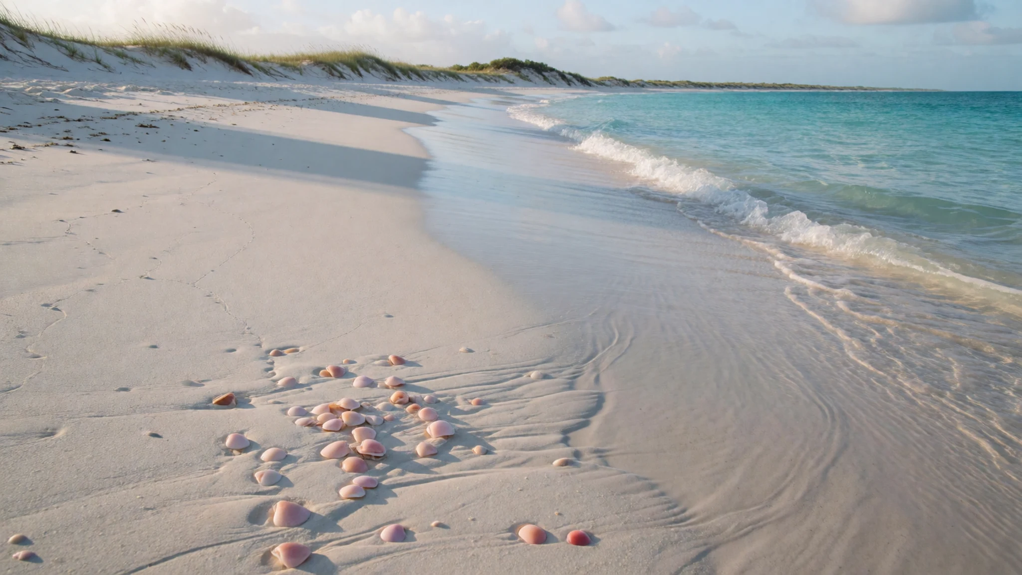
- Whale shark swims from Exmouth — The marine park waters off Exmouth
Whale shark swims run from Exmouth during the season, which falls roughly between March and August. Expect a briefing before you enter the water, a limited number of swimmers and firm rules about distance and touching. Demand is high in peak weeks, so book ahead and confirm the operator's current permit and conditions.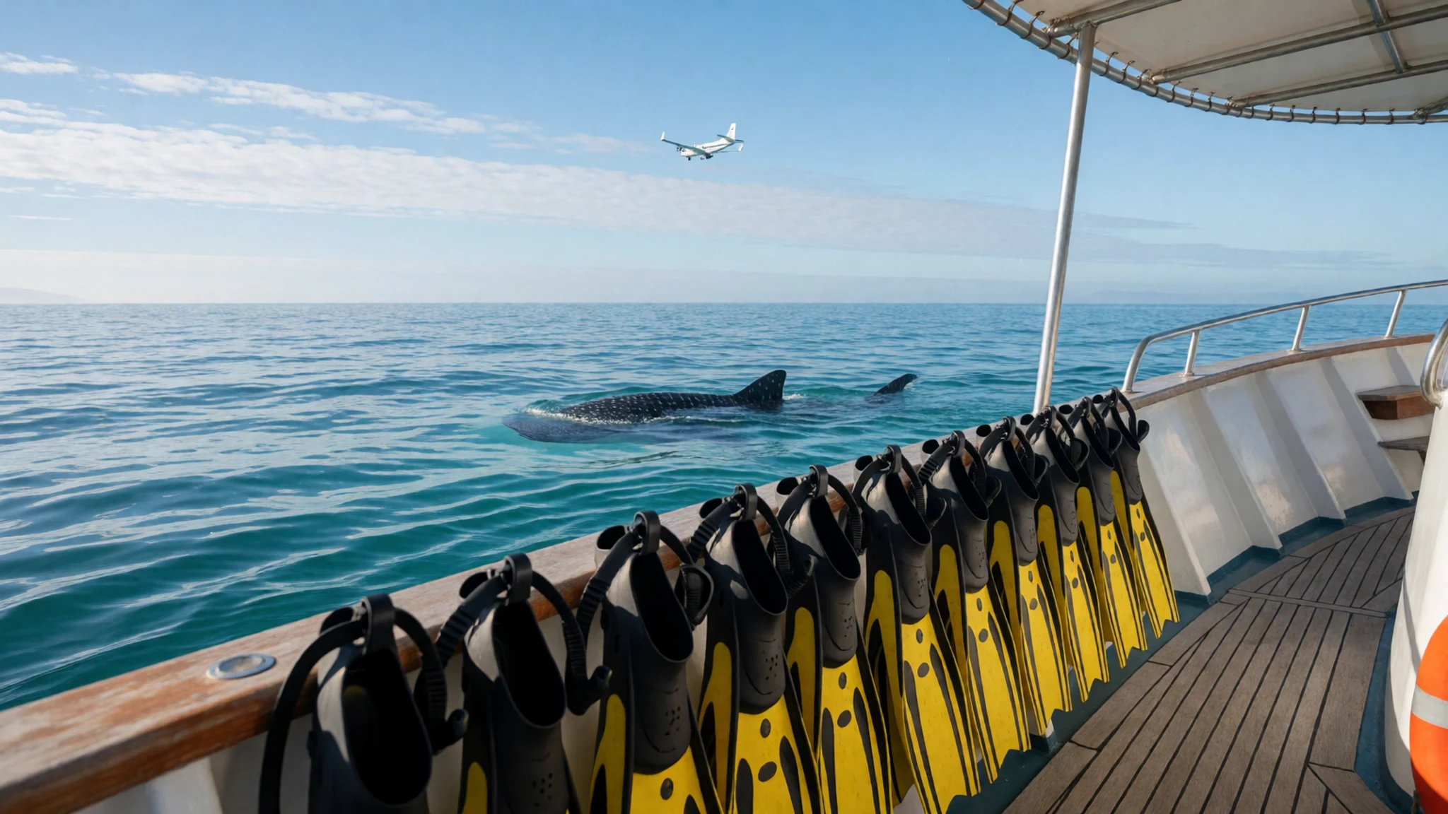
Culture
The Ningaloo Coast is Yamatji country, and the Baiyungu and Yinigudura people are its traditional owners. Their connection to land and sea is older than the reef's protected status, and the coast is read by many people as a living cultural place as well as a natural one. Land rights and sacred sites are a live question across Western Australia. Mining fuels much of the state's economy, yet consultation with Indigenous landowners has often been poor, and the destruction of Juukan Gorge in 2020 by Rio Tinto is still spoken about widely. Debates about coastal conservation and renewable energy are tied into the same questions. Visitors who ask about these issues will usually find people willing to talk, so listen at least as much as you argue. Stay on marked tracks near dunes and nesting beaches, and never approach nesting turtles at night with a torch or phone light.
What to wear
Along the Ningaloo Coast, traditional dress belongs to the Yamatji peoples, and the older clothing and materials are theirs to explain. The best way to learn about them is through Yamatji-led tours and cultural centres, which can speak to the subject properly. Day to day, the coast runs on practicality. People wear board shorts, rash tops and sandals or thongs at the beach, with a light shirt for evenings in town. Pub and roadhouse meals are casual, and few places expect any dress code. Boat trips often mean sun shirts, hats and closed shoes for slippery decks. For a visitor, dress for strong sun and wind. A long-sleeved rash top protects you while snorkelling from the sun and from stinging marine life. Add a wide-brimmed hat, reef-safe sunscreen and water shoes for rocky entries and hot sand. Lightweight long trousers help in the evenings and near the lagoons, where insects gather. Pack a warm layer for early boat trips, because the wind on open water can feel cool even when the land is hot.
What to eat
- Roadhouse burgers and sandwiches — Roadhouses on the highway north from Perth
Roadhouses along the long drive north carry a practical range of sandwiches and burgers, and sometimes hot cooked meals. They suit a lunch stop or a late dinner after a day on the water. Expect simple, filling food rather than a menu to linger over.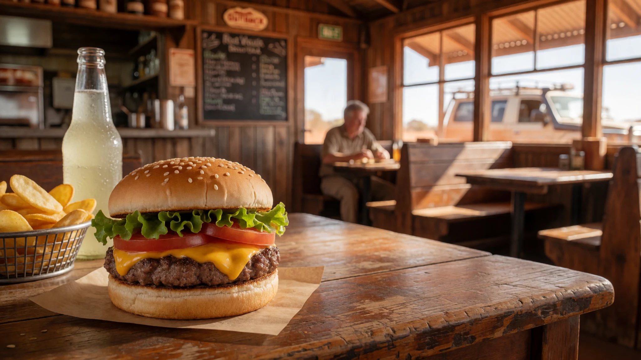
- Pub counter meals — Town pubs in Exmouth and the larger settlements
Pubs can usually be relied on for an evening meal in most towns on the coast. The counter menu leans towards grilled fish, steaks and chips, with salads on the side. It is a relaxed way to end a day of snorkelling, and the bar often fills with people who have been on the same boat trip.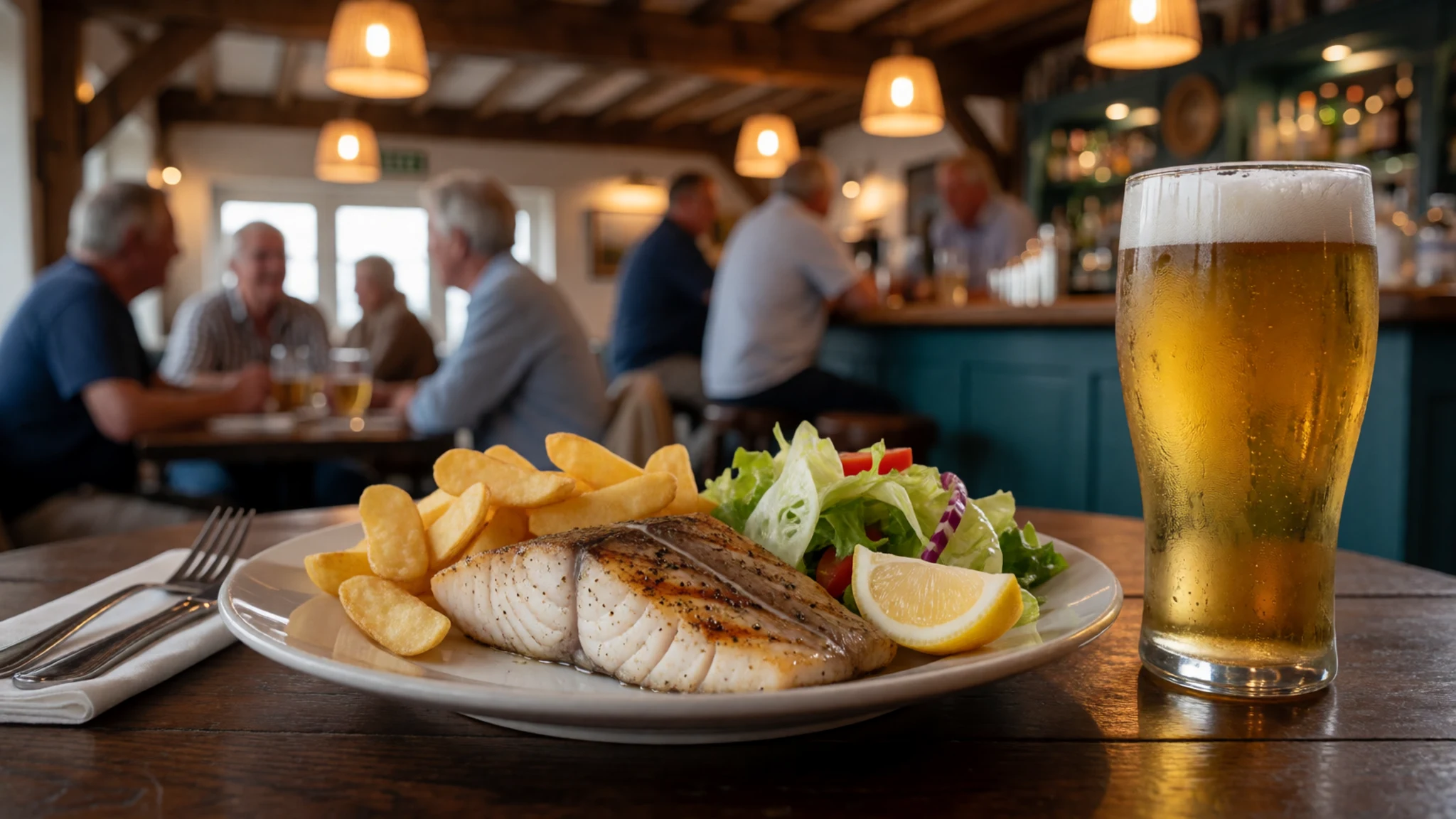
- Self-catered seafood — Campsites and self-catering accommodation, with supplies from town supermarkets
On the coast, self-catering is the norm away from the main towns. Fresh fish, prawns and salad from a town supermarket make an easy campsite dinner. Check current fishing rules for the marine park before you cast a line, as zones differ. - Marron — Marron farms in the South West
Marron is a freshwater crayfish with delicate meat, quite different from its saltwater relatives. It is a South West speciality rather than a coastal one. The easiest way to try it is at a marron farm in the south of the state, where some farms sell them frozen or live. - Local truffle — Manjimup and the South West, around the late-May truffle hunts
Black truffle is grown in the South West, and the local variety has the characteristic taste and smell that makes the fungus prized. Growing has expanded enough to support two festivals. The truffle hunts at Manjimup at the end of May are small and book up, so arrange seats early if you want to attend.
Plan it
Best time. March to August is the whale shark season and the best window for the reef, so aim for those months. Check current reef conditions before you travel, because marine heatwaves caused bleaching in 2011 and again in 2025, and the water can be warm at any time.
How long. 3–5
Getting there. Fly into Perth, the main international gateway for the state, then continue by domestic flight or a long drive north. The coast lies about 1,200 km north of Perth, so check current regional flight options on the airline and airport websites before you book.
Budget. mid
Tips
- Book whale shark swims and accommodation early for the March to August season
- Go out on the water early, when conditions are often calmer
- Carry plenty of water and sun protection, as distances between towns are long
- Plan fuel and food stops, because self-catering is needed beyond the main towns
- Check box jellyfish advice before swimming; the restriction period from October to May applies to beaches north of Exmouth
Etiquette
- Keep your distance from turtles, whale sharks and other marine animals, and do not touch the reef
- Stay on marked tracks near dunes and turtle nesting beaches
- Respect Yamatji sites and ask before entering areas that are not clearly open to the public
Nearby
Sources
- Wikidata Q1947662 (CC0)
- Wikipedia: Ningaloo Coast (rev 1374867190) (CC BY-SA 4.0)
- Wikivoyage: Western Australia (rev 5395173) (CC BY-SA 4.0)
- Ningaloo, Eugene Regis (photo 01-ningaloo.jpg) (CC BY 2.5)
