Newfoundland
Newfoundland, Canada
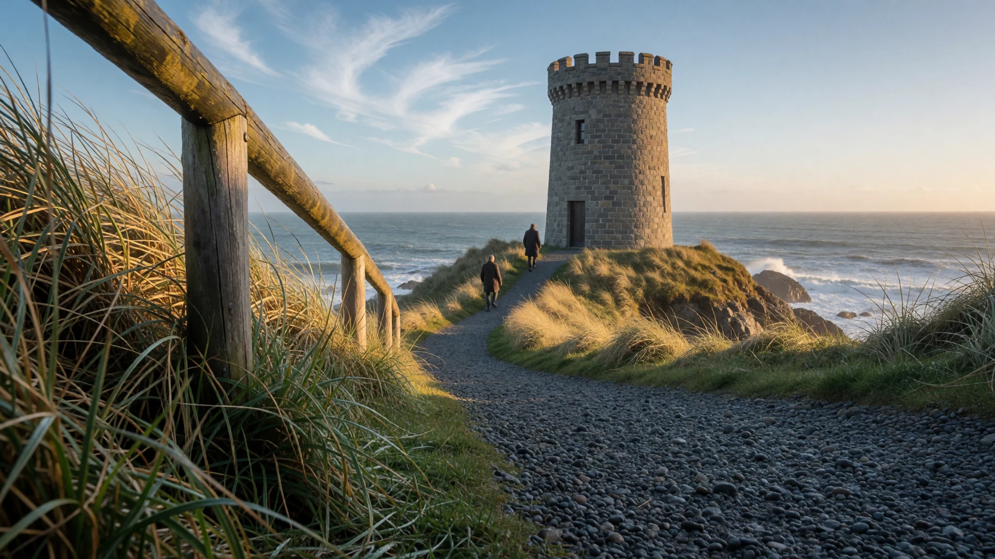
Newfoundland pairs wild Atlantic coastline and tiny fishing outports with a lively harbour capital, Norse ruins and food rooted in the sea.
The place
Newfoundland is an island off Canada's Atlantic edge, the larger and far more populous part of the province of Newfoundland and Labrador. It sits south of Labrador across the Strait of Belle Isle, and the Cabot Strait separates it from Cape Breton Island. Its bulk plugs the mouth of the St Lawrence, which gives the Gulf of St Lawrence its shape. Nearly half a million people live here, and most of them are in the south-east, on and around the Avalon Peninsula, where the capital, St John's, faces the open Atlantic. Cape Spear, a short drive south of town, is the easternmost point of North America if Greenland is set aside. The nearest foreign soil is French: Saint-Pierre and Miquelon, 19 km off the south coast. Away from the Avalon the island is mostly open country of bog, spruce forest, river valleys and long, deep bays, with the land rising to 814 m at its highest. Villages, known locally as outports, cling to coves chosen for fishing rather than for roads, so driving between them is slow and the weather can change within an hour. Fog, wind and cold water are part of the deal even in July, and the sea is rarely warm enough for a comfortable swim. Small neighbouring islands such as Twillingate, Fogo and Bell Island count as Newfoundland in everyday speech. The island rewards people who like weathered coastlines, small settlements and long drives with frequent stops, and it works best from early summer to early autumn.
Its story
Newfoundland's human story begins long before the fishing fleets arrived. The Dorset culture and the Beothuk lived here first; the Beothuk language is now extinct, and part of the island's modern history is the story of that loss. Roughly a thousand years ago, Norse seafarers set up a short-term settlement at L'Anse aux Meadows, near the northern tip, which archaeologists view as the clearest proof of contact between Europe and the Americas prior to Columbus. Whether Leif Erikson himself passed this way belongs to saga and guesswork. After the Norse came fishermen from Portugal, the Netherlands and France, drawn by the cod, and then the English. John Cabot may have landed here after sailing from Bristol in 1497 under Henry VII, though the exact spot remains uncertain. Portuguese brothers, the Corte-Reals, charted stretches of coast soon afterwards while hunting for a northwest passage. In 1583 Humphrey Gilbert claimed the island for Elizabeth I, an act often described as a first step towards the later British Empire. For centuries after that, life turned on salt fish, small boats and seasonal movement between Europe and the coves. That inheritance explains the outports, the strong local dialects and the songs, and it helps explain why the island feels more attached to its own past than most of Canada. St John's harbour, Signal Hill and the bays of the Avalon are where much of that past can still be walked.
What to see
- Signal Hill and Cabot Tower — St John's
Signal Hill rises over the entrance to St John's harbour, with a fort, a walking trail and Cabot Tower on top. Sunrise here, with the Atlantic turning from grey to gold, is worth the early start. Wind is constant, so bring a layer even in summer.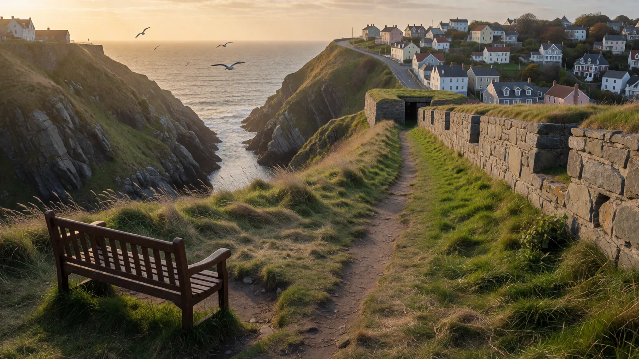
- Cape Spear — South of St John's
Cape Spear, a short drive south of St John's, is the easternmost point of North America apart from Greenland. The cliffs are open and exposed, and the wind can be fierce. It is a good place to watch waves arrive and, in season, whales or icebergs offshore.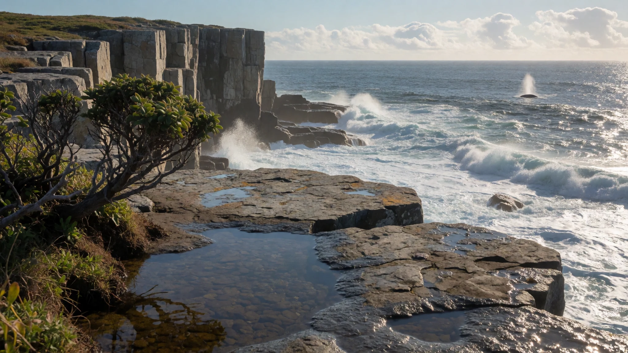
- Around the Bay: Conception Bay outports — Conception Bay, Avalon Peninsula
Locals use 'Around the Bay' for a drive through the outports of the Avalon, such as Brigus, Cupids, Harbour Grace and Carbonear. The slower coastal road beats the new highway for scenery and history. Allow a full day, and consider staying overnight at a local inn.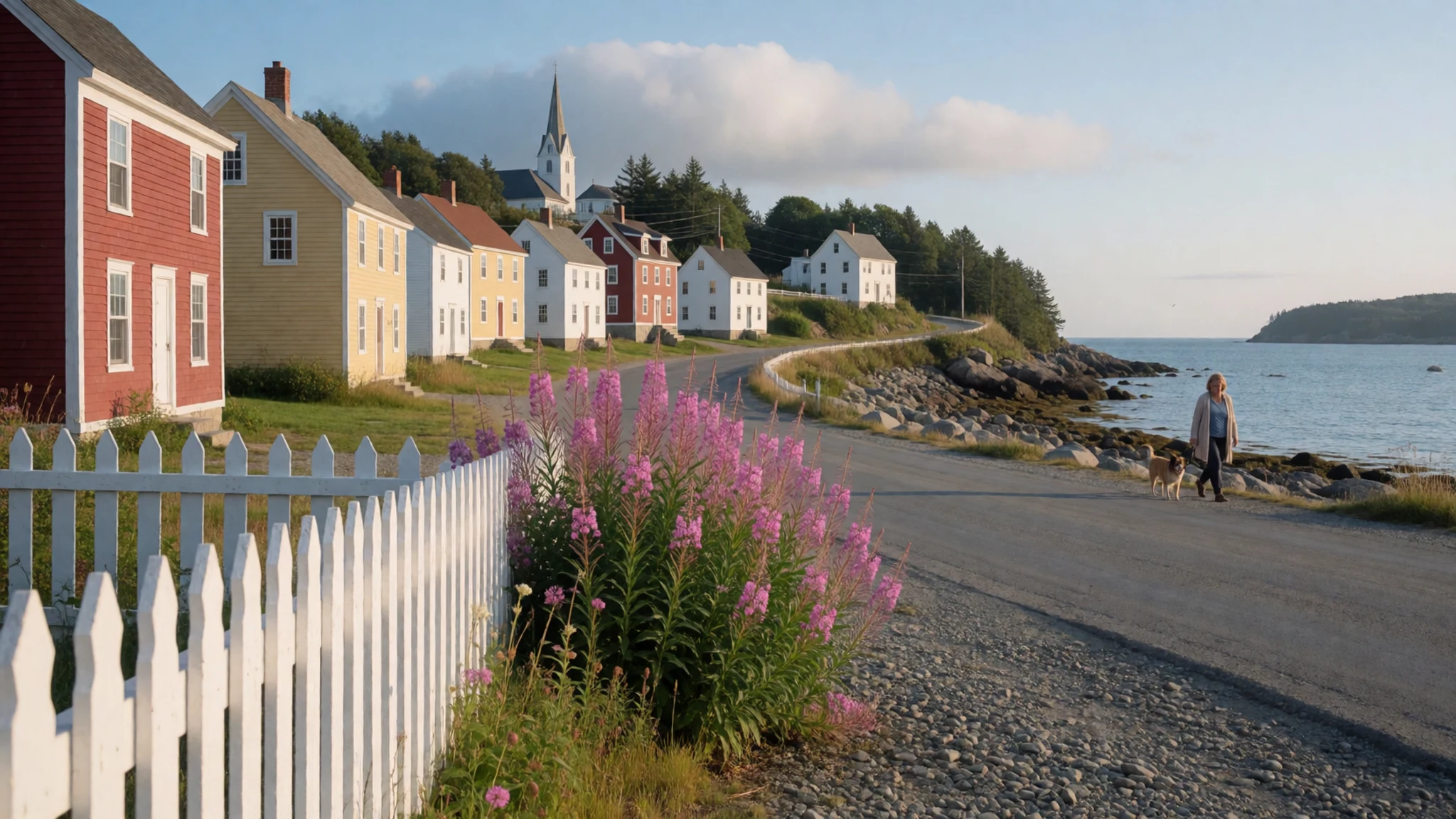
- L'Anse aux Meadows — Great Northern Peninsula
L'Anse aux Meadows, near the northern tip of the island, is where the Norse built a temporary base about a millennium ago. It is a quiet, windswept site, and the sense of distance is much of the experience. The trip north is long, so plan it as a destination in its own right.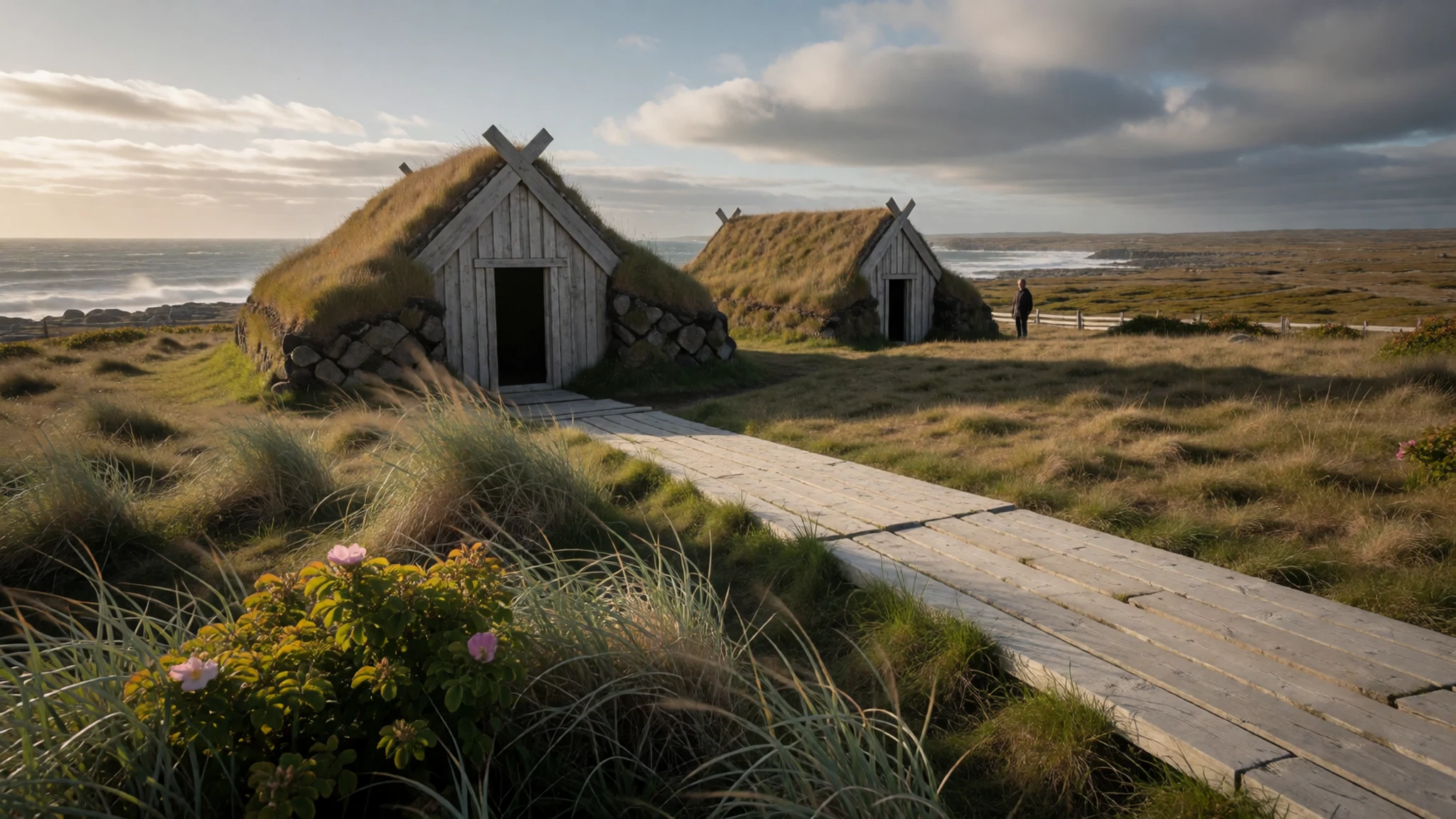
- Humber Valley and Corner Brook — Western Newfoundland
The Humber River valley, reached through Deer Lake or Stephenville airports, is the main gateway to the west of the island. In autumn its hillsides turn red and gold, and Corner Brook makes a practical base for river walks and drives. Cold arrives early, so pack accordingly.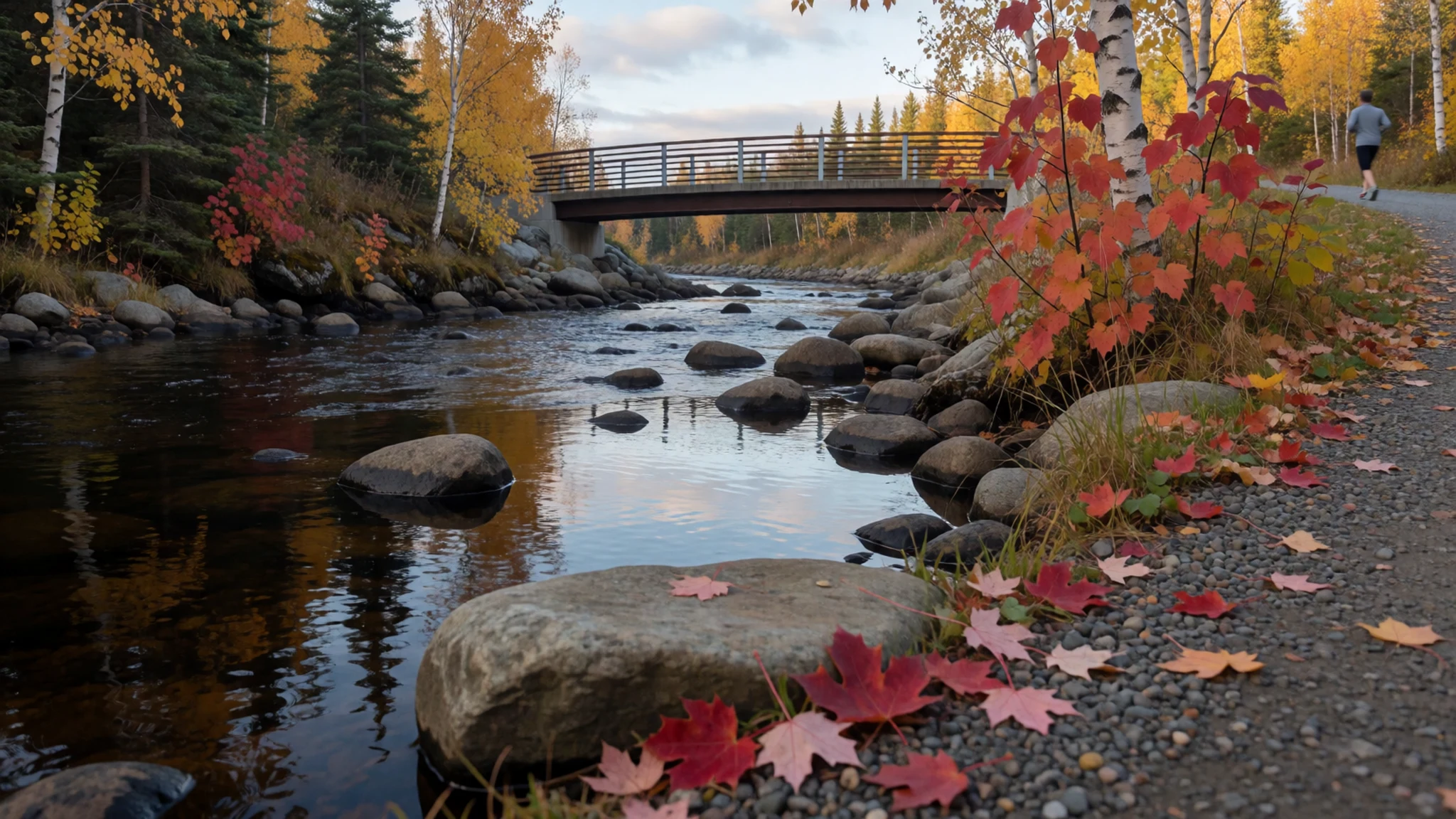
Culture
Newfoundland has a culture shaped by isolation, the sea and a long habit of making its own entertainment. Kitchen parties, with music, stories and dancing in someone's house, are the traditional way of spending an evening, and visitors are often drawn in. Humour is central: islanders are easy-going and quick to laugh, but they take pride in their history and distinct identity, and outside jokes about the place do not go down well. The outports carry the memory of the cod fishery, and many families still have strong ties to boats, wharves and a particular cove. Speech varies from bay to bay, with accents and expressions that can be hard to follow at first; asking someone to repeat themselves is perfectly fine. Tourist 'screech-in' ceremonies, in which newcomers kiss a cod and drink rum, are a light-hearted way of being welcomed, and the ritual is played for laughs rather than solemnity. The word 'Newfie' needs care. Some locals use it of themselves, but many hear it as a put-down when it comes from outsiders, because it grew out of a stereotype of rural backwardness. 'Newfoundlander' is the safe choice. Visitors who show curiosity about local history, music and fishing life tend to be met with generosity and plenty of stories. Call people Newfoundlanders rather than 'Newfies', and keep any teasing about the island's culture to yourself.
What to wear
Newfoundland's traditional working dress was shaped by wet, cold weather and a life at sea. Fishermen wore oilskin coats and sou'westers, thick woollen jumpers and heavy knitted socks, and hand-knitted mittens and caps were household staples, made from wool because it keeps warmth even when damp. Rubber boots and waxed or oiled outerwear still carry that heritage. There is no single formal national costume, though dance and heritage groups sometimes dress in period clothing for festivals and performances. Everyday style today is practical and casual: fleeces, waterproof jackets, jeans, sturdy boots and woollen hats, with plain, informal dress even at pubs and restaurants. Brighter colours are common in the painted houses of St John's, and some locals wear them too. Visitors should dress in layers whatever the month, since wind, fog and drizzle can arrive in minutes and cut through a single heavy coat. A proper waterproof jacket, a warm hat, and shoes or boots with good grip are worth more than anything smart; coastal paths and wharves get slippery. Sun hats and sunscreen are useful on clear summer days, but evenings are cool. There are no particular modesty rules, and churches welcome ordinary neat clothing. In autumn and spring, add gloves, since a cold wind off the water makes it feel colder than the thermometer suggests.
What to eat
- Fish and brewis — Rural eateries and traditional family restaurants across the island
A traditional dish of salt cod flaked together with softened hard bread, topped with fried pork scrunchions and sometimes a drizzle of molasses. It is hearty, salty and rooted in sailors' provisions. Look for it in rural eateries and long-established family restaurants.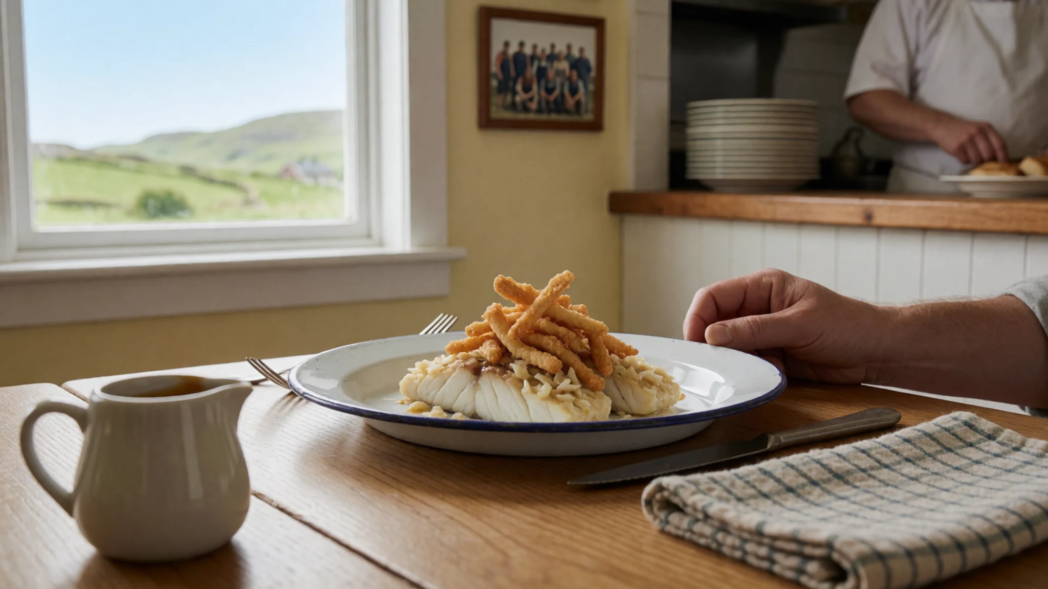
- Jiggs dinner — Home-style eateries, pubs and church or community suppers
A one-pot Sunday meal of salt beef or corned beef with cabbage, carrot, turnip, parsnip and potato, plus a bag of yellow split peas boiled into pease pudding. It is a family meal first, so ask at pubs and home-style eateries.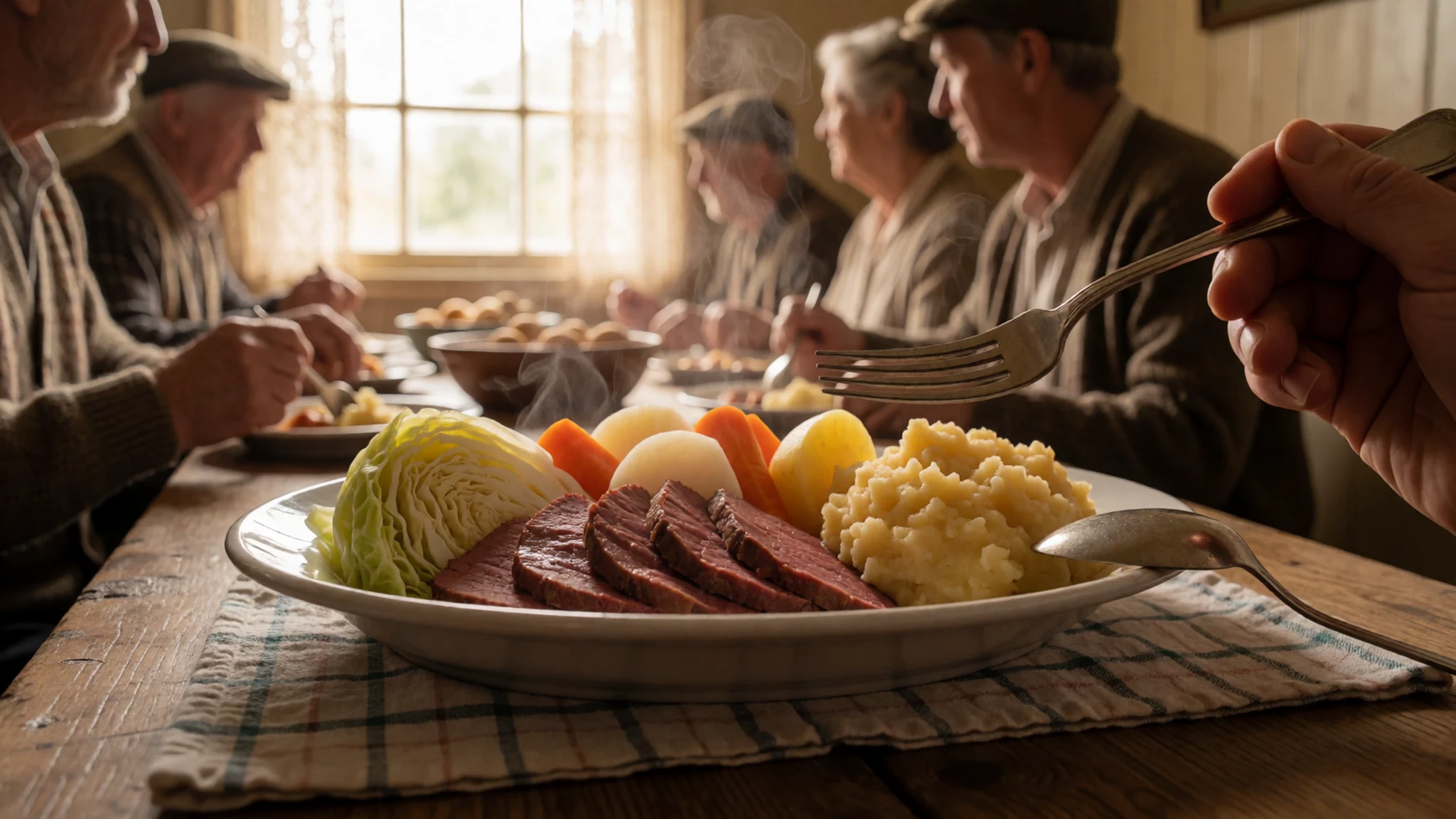
- Battered cod and chips — Fish-and-chip shops around St John's and in coastal towns
Fresh cod in crisp batter with thick chips is on almost every menu, and the quality is high near the harbours. Locals argue passionately over the best chippy, especially in and around St John's, so ask anyone for a recommendation. - Chips, dressing and gravy — Casual takeaways and diners in towns and outports
A comfort dish of chips topped with savoury stuffing, known locally as dressing, and brown gravy. It looks plain but is deeply loved, especially on cold days. Vegetarians should check what the gravy contains.
Plan it
Best time. July to September is the most reliable window, with the mildest weather and the full run of coastal roads and boat trips; icebergs tend to pass in late spring and early summer. Autumn brings colour to places like the Humber Valley but also cold and rain. Winters are long and cold.
How long. 5–7
Getting there. Fly to St John's International Airport (YYT), with several daily flights from Ontario, Quebec and the other Atlantic provinces, and summer services to London Heathrow with Air Canada and to Dublin with WestJet. For the west, fly to Deer Lake or Stephenville and use a hire car, bus or taxi to Corner Brook.
Budget. mid
Tips
- Hire a car; outports and viewpoints are far apart and public transport is limited
- Pack waterproofs and warm layers even in July, as fog and wind come quickly
- Book rooms early for July and August, especially in small coastal towns
- Fill the tank before long stretches, as petrol stations can be far apart
- Check the weather before coastal walks and boat trips, as conditions change fast
Etiquette
- Say 'Newfoundlander' rather than 'Newfie'
- Accept an invitation to a kitchen party or screech-in with good humour
- Keep a safe distance from cliff edges and wild animals
Nearby
Sources
- Wikidata Q48335 (CC0)
- Wikipedia: Newfoundland (island), rev 1384758822 (CC BY-SA 4.0)
- Wikivoyage: Newfoundland and Labrador, rev 5361768 (CC BY-SA 4.0)
- Photo: Fall in the Humber Valley (Aiden Mahoney) (CC BY-SA 2.0)
- Photo: Map of Newfoundland (Coach.nyta, edited by Qyd) (CC BY 3.0)
- Photo: Cabot Tower, St John's (Nefirious) (CC BY 3.0)
- Photo: Map of Newfoundland (Vincenzo Coronelli) (Public domain)
- Photo: A general chart of the island of Newfoundland (Michael Lane and James Cook) (Public domain)
- Photo: Topography of Newfoundland (Zamonin) (CC BY-SA 4.0)
- Photo: Overlooks Conception Bay (Ayadm) (CC BY 3.0)
- Photo: A man kissing a cod during a screech-in ceremony (Winglessbuzzard) (CC BY-SA 4.0)


