Nanda Devi National Park
Nanda Devi National Park, India
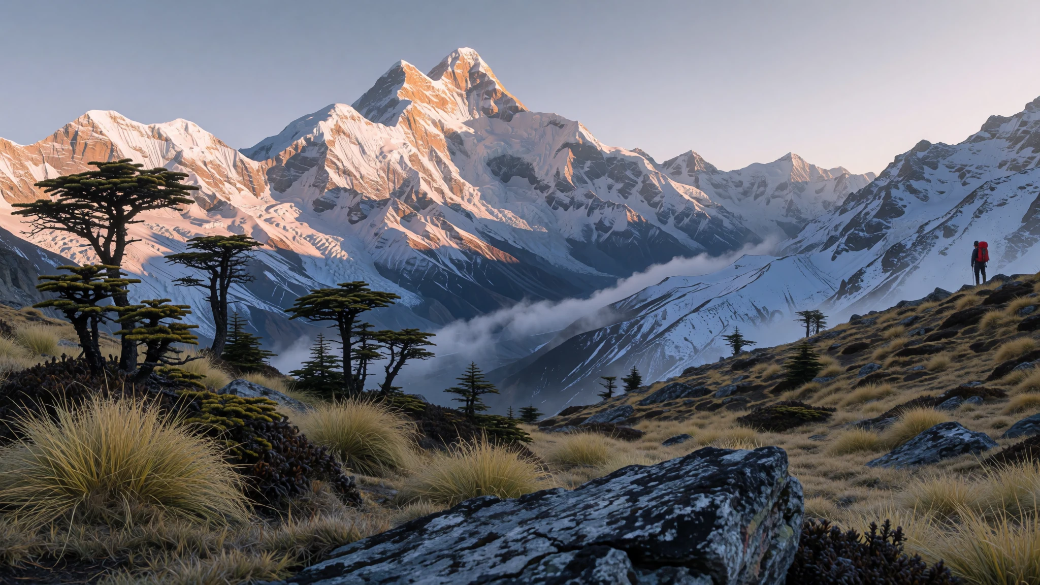
A high Himalayan park built around the peak of Nanda Devi, reached by a long road and a longer walk, with alpine meadows and a ring of glaciers.
The place
Nanda Devi National Park lies in Chamoli district of Uttarakhand, in the Garhwal Himalaya, and takes its name from the peak at its centre. It was established in 1982, and the whole park sits above 3,500 metres, so the walking begins high. The park is embedded in a larger biosphere reserve, which in turn lies within the buffer zone of the Nanda Devi and Valley of Flowers National Parks, a UNESCO site.
The heart of the park is the Nanda Devi Sanctuary, a glacial basin ringed by peaks between 6,000 and 7,500 metres. Ridges wall it in on three sides, while on the west the Rishi Ganga drains out through a steep gorge that is hard to pass. The sanctuary divides into an Inner part, holding the main peak and its two large glaciers, and an Outer part around it.
Lower down, the country changes quickly. Patches of West Himalayan fir stand among grasslands, and in summer the upper slopes fill with alpine meadows, known locally as bugyals. Butterflies and wildflowers are part of the summer picture, and from the higher ridges the views take in Trisul and the other Garhwal peaks.
Access is the first test. Most visitors come up from Joshimath, the nearest town, and the last stretch to Lata, the gateway village, is a winding road. Once on foot, the terrain is steep almost everywhere, so the pace is slow and the days are demanding. The park rewards patience more than ambition, with wide slopes and changeable weather rather than a single view.
Its story
Nanda Devi's modern history begins with exploration. W. W. Graham reached as far as the Rishi Ganga in 1883, and several later attempts by explorers failed to get far. The breakthrough came in 1934, when Eric Shipton and H. W. Tilman entered the inner sanctuary through the Rishi Ganga, opening the basin to climbers and surveyors. In 1939 the area was declared a game sanctuary, which marked the start of its formal protection.
The park also has a Cold War chapter. After China's first nuclear test in 1964 and the missile trials that followed, the United States and India worked together to monitor those tests from the mountains, because ground sensors struggled to pick up missile signals from beyond the Himalaya. A peak with a clear line of sight was needed, and Nanda Devi was chosen. A joint team planned to leave a nuclear-powered listening device near the summit. Bad weather arrived as the climbing season closed, and the device was left behind with the plan to return the next year.
When the follow-up Indian expedition returned the next season, the device was gone from its anchor point. The likely explanation is a rockfall that carried it down towards the glaciers, along with its plutonium fuel. Later secret attempts to recover it all failed. No one has found it, and the episode now sits alongside the climbing history in the sanctuary's story.
What to see
- Nanda Devi Sanctuary — Chamoli district, Garhwal
The sanctuary is the basin that gives the park its character: a ring of peaks between 6,000 and 7,500 metres, with the main peak and its glaciers in the eastern part. The basin is reached through the steep, nearly impassable Rishi Ganga gorge, so most visitors see it from the approaches and the surrounding ridges rather than from the basin floor. Ask the park's forest office about current rules before planning anything beyond a day walk.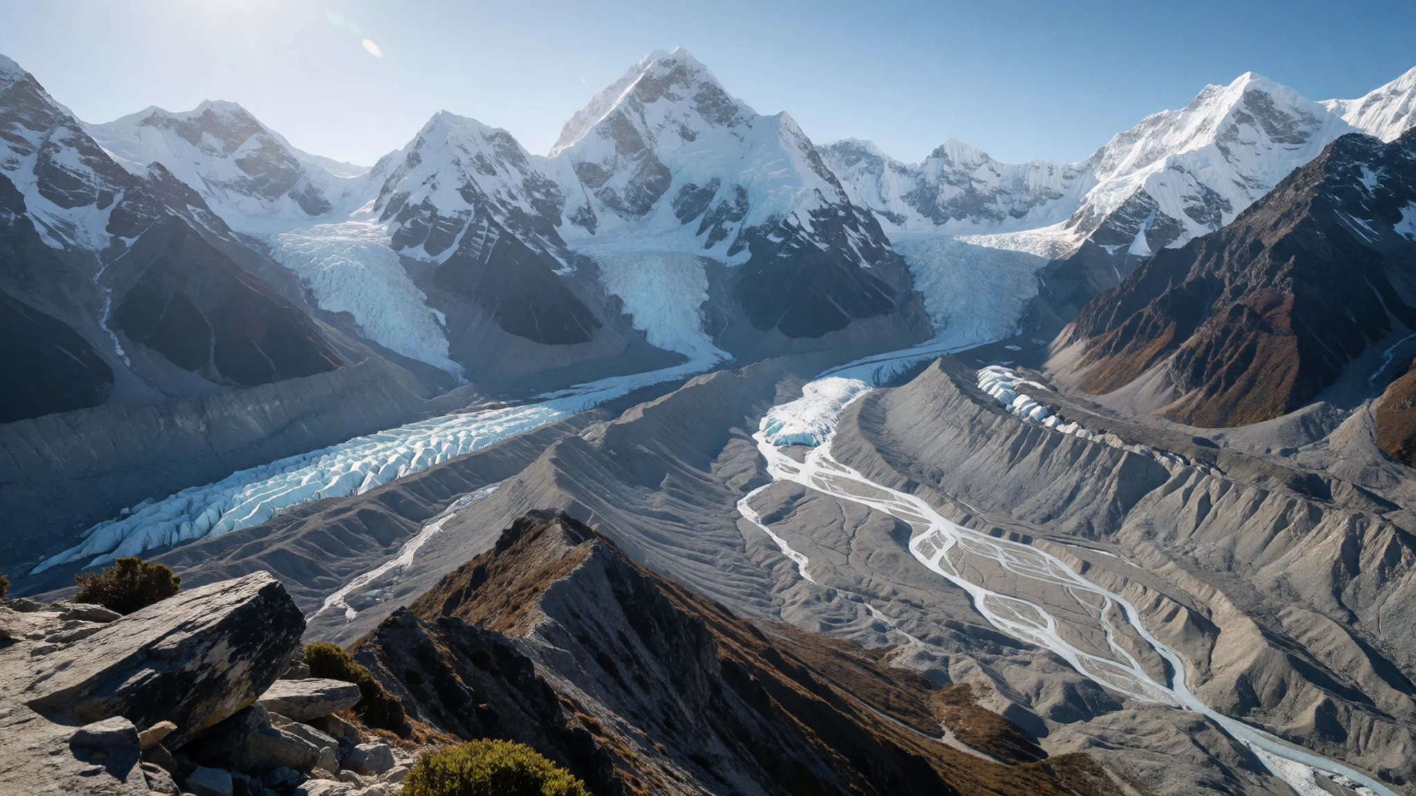
- Rishi Ganga Gorge — Western edge of the sanctuary
The Rishi Ganga leaves the sanctuary to the west through a deep, narrow defile. It is the same route that the first explorers followed in, and it remains the main thread linking the sanctuary to the valley below. The walls are steep and the path is rough, so treat the gorge as a serious undertaking with a local guide rather than a casual walk.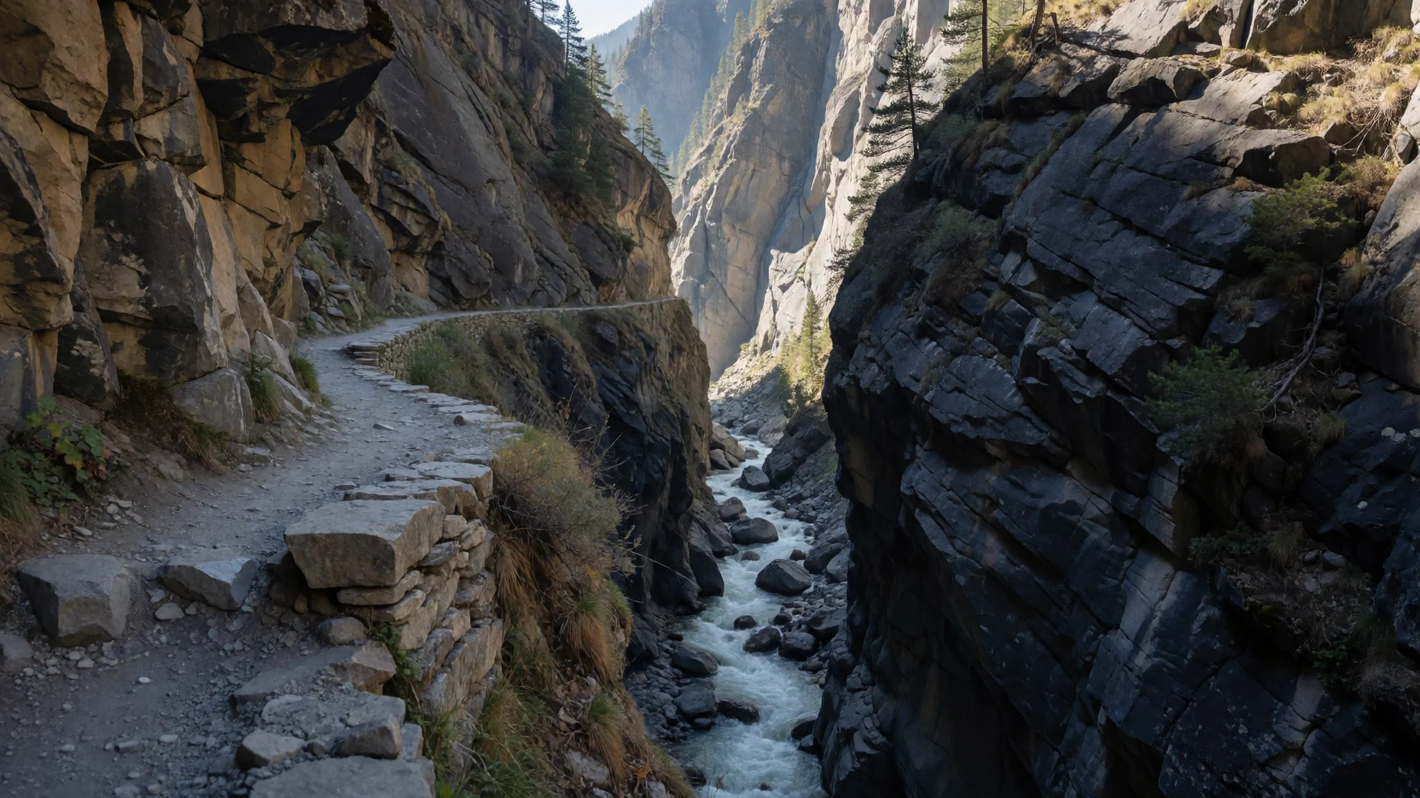
- Interpretive trek from Lata — Lata, Niti Valley
This community-managed trek starts from the village of Lata and runs to Suraithota. Walkers camp at Kanook and Lata Kharak, and homestays are arranged in the village of Tolma. The route is a good way to meet local people and learn the valley's history, but it needs proper acclimatisation, so spread the days out rather than rushing the climb.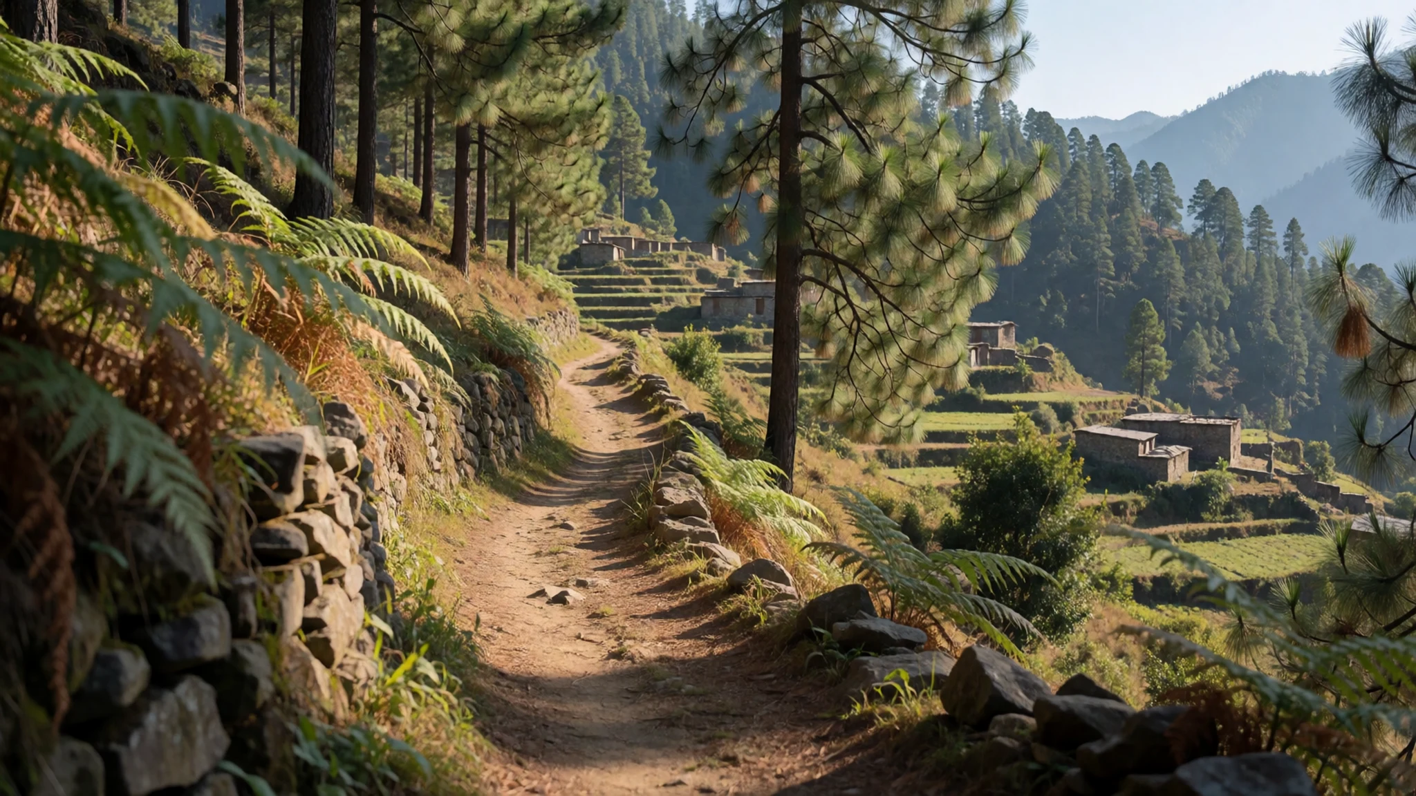
- Interpretation Centre at Lata — Lata village, Niti Valley
The Interpretation Centre on Bio-Cultural Diversity of Niti Valley covers the area's exploration and mountaineering history, along with the Chipko movement and its later phases. It displays a range of traditional cultural objects. Visit before you set off, since the displays give useful context for the walk ahead and for the villages you will pass through.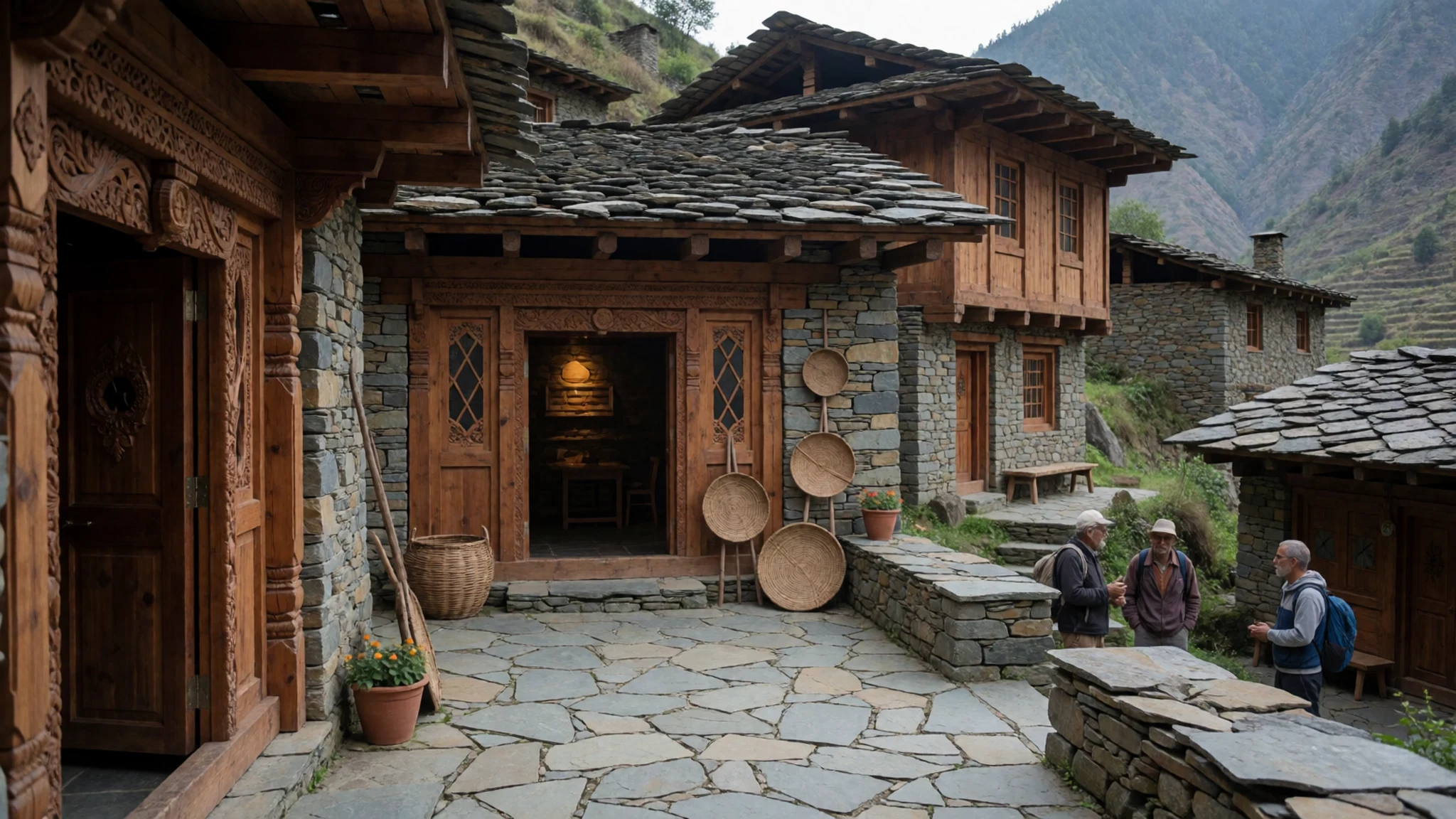
- Phulandi Bugyal — Nanda Devi Biosphere Reserve
This alpine meadow in the biosphere reserve is the sort of open grassland that gives the park its character in summer. Tracks cross it between stands of fir and along the slopes above. Expect cold winds even in good weather, and carry a layer you can add quickly, as the meadows offer little shelter.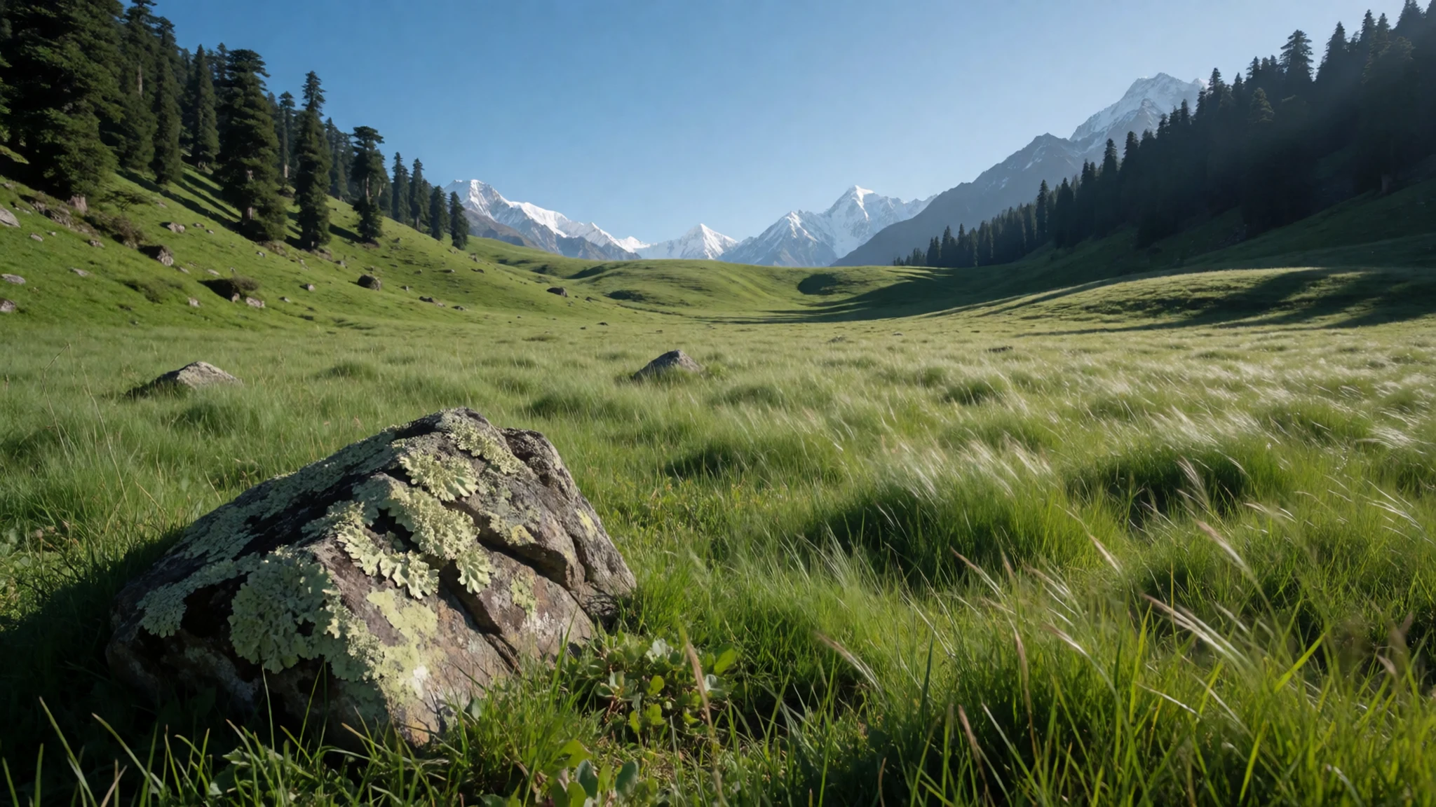
Culture
Nanda Devi sits within a region of living religious geography, and the valleys around it carry pilgrim routes to Badrinath, Kedarnath and the Hemkunt pilgrimage site. Many villages keep local deities and festivals, and the community that runs the interpretive trek from Lata has a strong sense of its own history. The Chipko movement, in which villagers embraced trees to stop them being felled, grew from the forests of this region and is still part of local memory, so talk about forest protection with respect and interest. Expect plain, modest life in village homes and shops, where people are used to outsiders but not to being photographed without asking. Walk through village lanes quietly, keep to paths between the fields, and never photograph people at prayer or inside their homes without asking first.
What to wear
Traditional dress in Garhwal is practical and built for cold. Women have traditionally worn a long wrap skirt, the ghaghra, with a blouse and a shawl, while men have worn a long coat or kurta with churidar trousers and a woollen cap. Wool is the key textile: local flocks supply yarn that is hand-spun and woven into shawls, caps and blankets, and in the high villages heavy woollen layers are worn for much of the year.
Today most people wear ordinary clothes, such as trousers, jackets and sweaters, and traditional dress appears mainly at festivals, weddings and temple occasions. Younger people in towns like Joshimath dress much as they would anywhere in India, while older women in villages may still wear the ghaghra or a wrap, and the knitted caps appear in winter.
For a visitor, layers matter more than style. Pack a warm fleece or down jacket, a wind layer and a woollen hat, because mornings at altitude are cold even in summer. Sturdy closed walking shoes with good grip are essential on steep, stony paths, and trekking poles help on the descents. Dress modestly in villages and near temples, with long trousers or a long skirt and covered shoulders, and bring sunglasses and a sun hat for the bright, thin air.
What to eat
- Mandua ki roti — Village homestay kitchens around Lata and Tolma
A flatbread made from finger millet flour, dense and slightly nutty, usually eaten warm with ghee or a little butter. It is the everyday bread of many hill households, so the best place to try it is a family kitchen, especially if you stay in a village homestay around Lata or Tolma.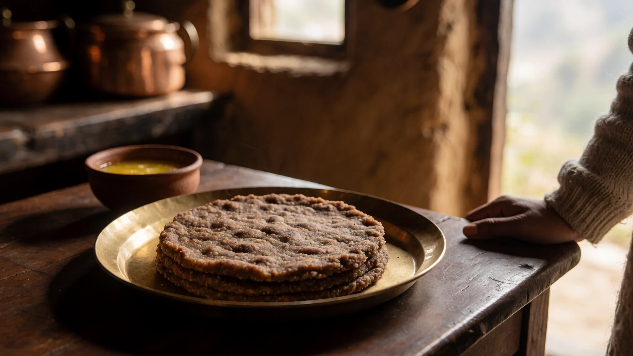
- Gahat dal — Family kitchens in Garhwal and Joshimath
A thin soup or lentil dish made from horse gram, cooked slowly with cumin, garlic and a little ginger. It has a earthy, warming flavour that suits the cold hills. Ask for it at a family meal rather than expecting it on a menu.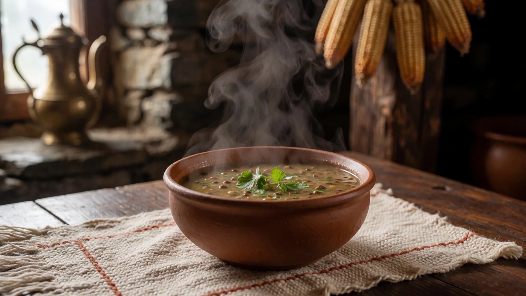
- Aloo ke gutke — Eateries in the Joshimath bazaar
Small pieces of potato stir-fried with cumin, chilli and mustard oil. It is simple, quick and common at hill-style eateries, and it makes a good side to rice or roti after a long walk. - Bhatt ki churkani — Village kitchens in the valleys near the park
Black soybeans cooked dry with onions, tomatoes and spices until the beans break down into a thick, savoury mash. Hill households serve it with rice or roti, and it is a good protein-rich meal on the trail when cooked in a homestay. - Jhangora ki kheer — Homestays and family meals in the hill villages
A sweet pudding made from barnyard millet cooked slowly in milk with sugar and cardamom. It is usually a festival or special-occasion dish, so if you are offered it at a homestay, accept it with thanks.
Plan it
Best time. May to October, according to the brief. Late May to June and September to October are the usual windows for clearer views and firmer trails; July and August are the wettest months in the region, with slippery paths and landslide risk on the roads.
How long. 4–6
Getting there. Fly into Dehradun, the nearest airport, then drive via Haridwar, Rishikesh, Srinagar, Rudraprayag and Karnprayag to Joshimath. Lata, the gateway village, is 25 km upstream from Joshimath on the Niti-Malari highway, and the last leg is a short road transfer before you start walking. The Kathgodam route from the Kumaon side, via Almora and Kausani, meets the main road at Karnprayag.
Budget. mid
Tips
- Acclimatise before going higher: spend a night in Joshimath first, and do not try to reach Lata Kharak in a single day.
- Arrange your guide and trek bookings through the community or a registered operator well before the season starts.
- Carry woollens, water, emergency rations and a basic medicine kit, because the last shops are well below the high camps.
- Start walking early, when the sky is clearer and the paths are firmer.
- Carry cash for small purchases, since villages and homestays may not take cards.
Etiquette
- Ask before photographing villagers, especially at prayer or inside their homes.
- Keep to the marked trail, and carry all your rubbish back down.
- Dress modestly in villages and near temples, and remove your shoes where asked.
Nearby
Sources
- Wikidata Q1648266 (CC0)
- Wikipedia, Nanda Devi National Park (rev 1362878999) (CC BY-SA 4.0)
- Wikivoyage, Nanda Devi National Park (rev 5066559) (CC BY-SA 4.0)
- Nanda Devi from the west, Michael Scalet (CC BY-SA 2.0)
- Mt Nanda Devi 23rd Highest peak, Anirban c8 (CC BY-SA 1.0)
- Panorama of Garhwal and Kumaon Peaks, Yash Soorma (CC BY-SA 4.0)
- Trisul, Yash Soorma (CC BY-SA 4.0)
- Blue Sky Yellow Wings, Gpradnya (CC BY-SA 4.0)
- Landscape view within Nanda Devi Biosphere Reserve, Subhajit Saha (CC BY-SA 4.0)
- A Flower in Nanda Devi National Park, Aishik Saha (CC BY-SA 4.0)
- Phulandi Bugyal landscape, Subhajit Saha (CC BY-SA 4.0)


