Mrauk U
Mrauk U, Myanmar
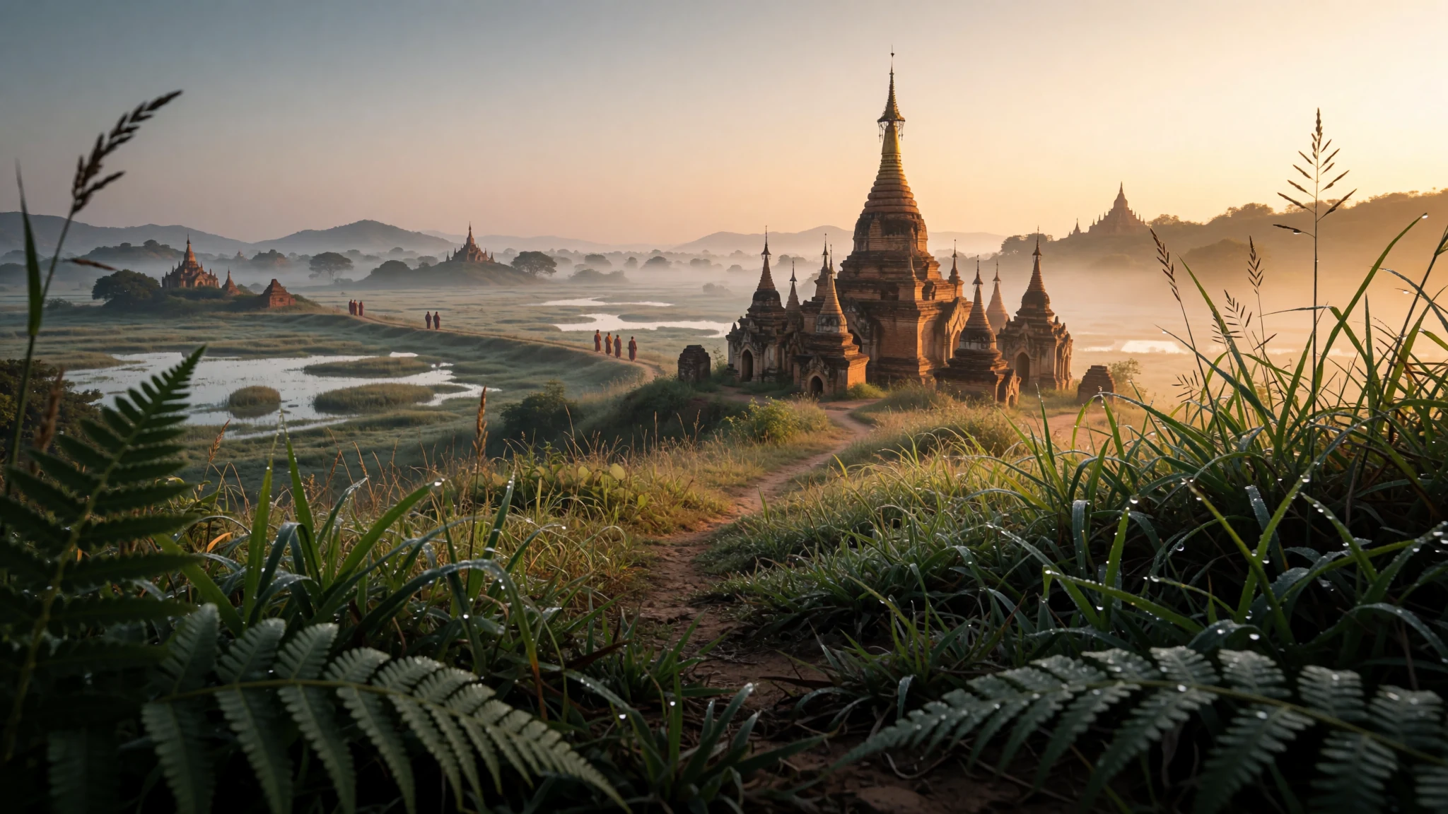
Come for a dense, quiet cluster of stone temples and pagodas that few visitors reach, set among hills, marsh and lakes.
The place
Mrauk U sits in northern Rakhine State in western Myanmar, on a low spur of the Rakhine Yoma hills about 11 km east of the Kaladan River. Around it the land turns into a patchwork of marsh, mangrove and lake, so the approach can feel more like a river journey than a straight drive. The town is the seat of Mrauk-U Township and the centre of Rakhine (Arakanese) cultural life, so you will notice the local language, food and festivals alongside the Burmese ones.
The reason to come is the ruins. Mrauk U has a rich collection of temples and pagodas, many still in use, built from cut stone rather than the mud and clay brick that dominates Bagan. Sources describe the collection as second only to Bagan in Myanmar. Many sites stand in fields or on low ridges, so you walk between them on dirt tracks and see spire after spire against the sky. The climate is hot for much of the year, and the rains arrive heavily from late May. Tourism is not operating in the town at present, because the Arakan Army has controlled Mrauk U since capturing it on 8 February 2024. Visitors cannot expect the usual services, so anyone considering a trip should first confirm whether the town is open to travellers.
Its story
In 1430 King Min Saw Mon founded Mrauk U as the capital of what sources call the last unified Arakanese kingdom. Over the next few centuries the city grew into a fortified, cosmopolitan centre. Its population in the early seventeenth century is often put at around 160,000, though that figure comes from historical accounts and should be read as an estimate. The kingdom had 49 kings in all, and its wealth rested on trade and on the fertile coastal lowlands.
Historians usually divide the city's life into three phases: an early period from 1430 to 1530, a middle period from 1531 to 1638, and a last period from 1638 until the kingdom fell in 1784. The golden age of the sixteenth and seventeenth centuries overlapped with the Tudor kings of England, the Mughal rulers, and the kingdoms of Ayutthaya and Ava, which shows how connected the court was. Foreign visitors described its moats, canals and creeks, and the comparisons with Venice made at the time still turn up in guidebooks.
At the heart of the city stood the Royal Place, rising over the plain like an Asian acropolis. A fortification around 30 km long, with an intricate network of moats, enclosed it. In 1784 the Konbaung dynasty of Burma conquered the kingdom and the city lost its role as a capital. What survives is mostly religious architecture, with stone inscriptions, Buddha images and carved footprints that show where Buddhism took root in the region.
What to see
- Shitthaung Pagoda — Central Mrauk U, near the foot of Pitaka Taik
Shitthaung is still used by local worshippers, so visitors walk through it as part of daily religious life. Its interior has many angled corridors, and the walls carry stone reliefs, including a set of 550 scenes from the Jataka tales of the Buddha's earlier lives. Locals also call it the Temple of Victory or the Temple of 80,000 Images. Go in the early morning, when the light is soft and the carvings are easier to see.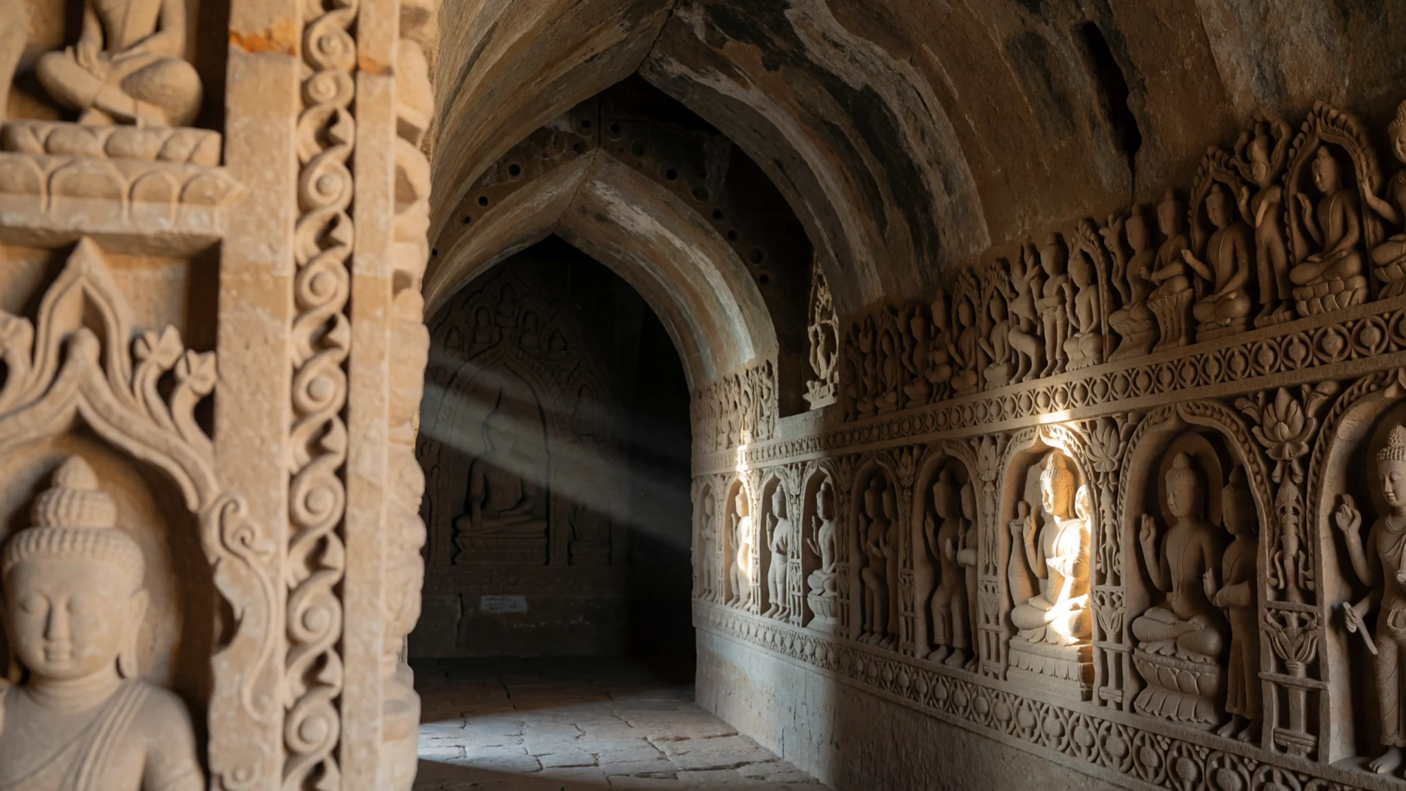
- Htukkanthein Temple — Central Mrauk U, beside Shitthaung
Built in 1571 by King Minphalaung on sandstone, this temple is known for its internal stone sculptures, which show scenes from the royal court. The entrance faces east, so morning visits catch the light on the façade. It is one of the most carefully carved buildings in the town, and it rewards a slow walk around the inside rather than a quick photo from the door.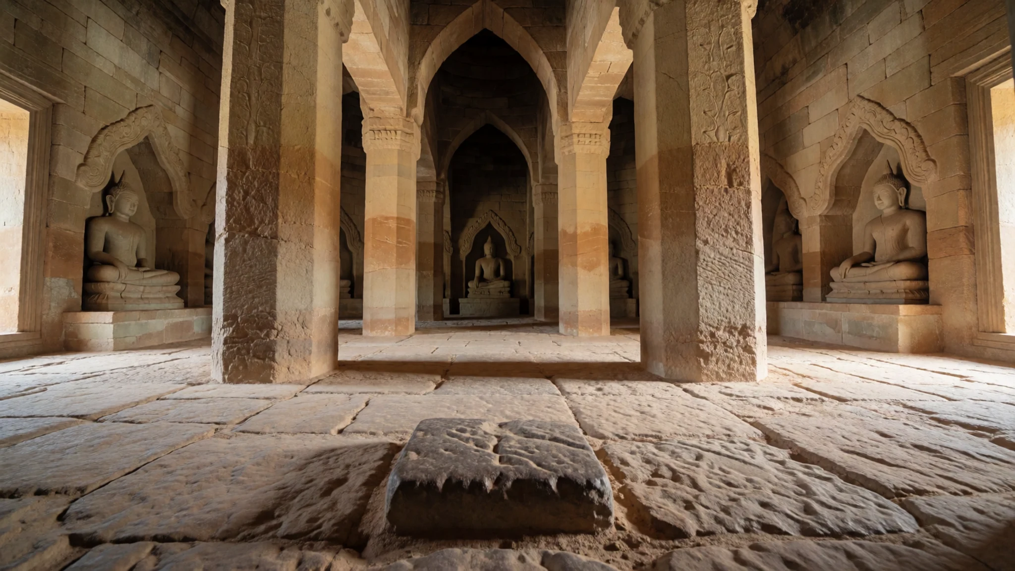
- Mya Tan Zaung — Western part of the ruins
King Min Saw Mon erected this pagoda in 1430, the year he founded the city as capital, and it stands beside a sibling pagoda of similar form. Its age makes it one of the oldest monuments you will see here. Look at how the two structures frame each other, and compare the weathering of the stone, which tells the story of centuries of monsoon rain.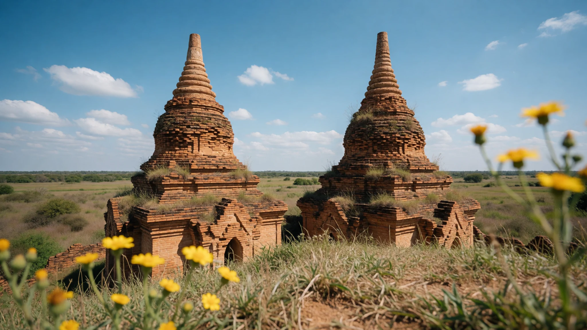
- Pitaka Taik — Hill above the central temple group
This hilltop site is the place to watch the sun go down. Its elevated position gives wide views over the surrounding plain, marshes and temple roofs, and Shitthaung and Htukkanthein sit at its foot. Arrive before the last light, bring a torch for the walk back down, and expect other visitors on the steps at dusk.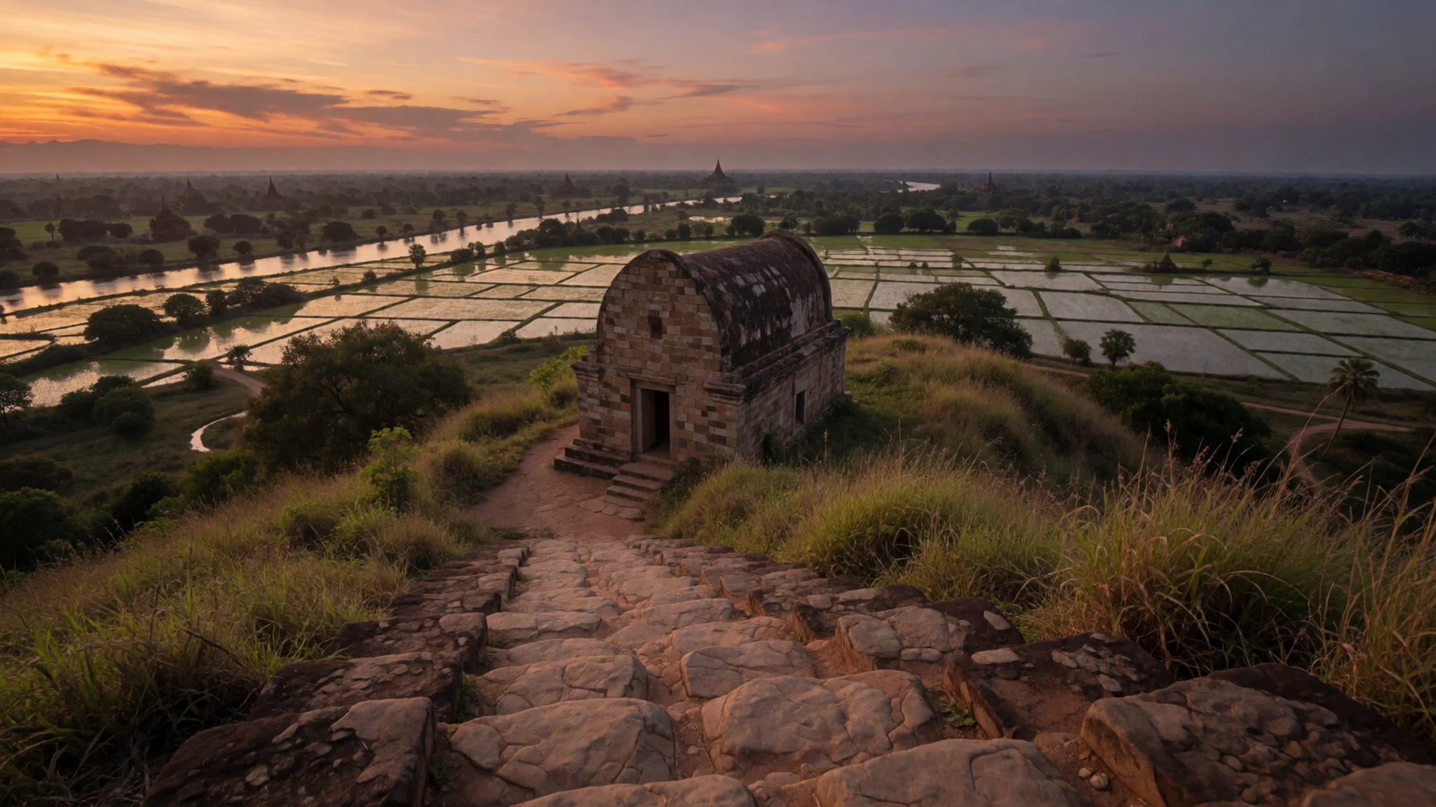
- Sakya Man Aung — Eastern part of the ruins
Dating to 1629, this pagoda was built by King Thirithudhammaraza and is considered an attractive example of the period. It is quieter than the central group, which makes it a good place to slow down. Walk around its base to see the proportions, and visit late in the afternoon when the light falls across the stonework.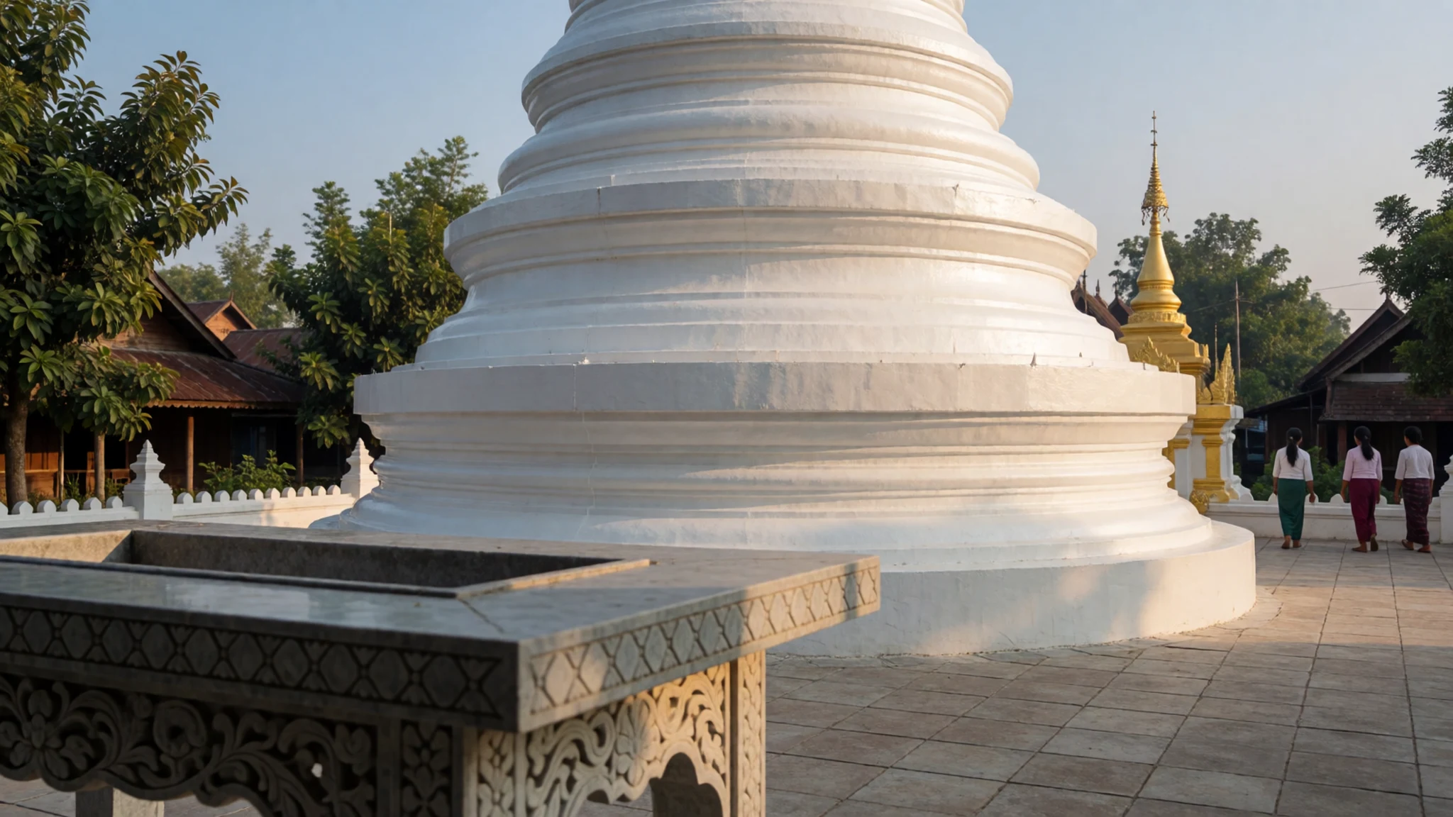
Culture
Mrauk U's identity is tied to its kings, ministers and farmers, who built temples and pagodas to show their devotion. Most of the temples are built from hewn stone rather than brick, which gives the local architecture a different texture from Bagan. Among the notable sites are Shitthaung, Htukkanthein, the Koe-thaung Temple with its 90,000 images, and the Five Man pagodas. Rakhine people are a distinct cultural community within Myanmar, and their language, food and festivals are part of everyday life in the town. Religious life is visible at every site, with monks, pilgrims and families present through the day. Remove your shoes before stepping onto any temple floor, dress with your shoulders and knees covered, and ask before photographing monks or people at prayer.
What to wear
Traditional dress in Rakhine State centres on the longyi, a long wrapped cloth worn by men and women across Myanmar. Rakhine versions are often woven in cotton or silk, and the checks and stripes differ from those of central Burma. Women traditionally pair the longyi with a fitted blouse, while men wear a shirt with the longyi wrapped at the waist. Older people in villages around the town still wear these garments every day, and the cloth is often bought locally from weavers and markets. Most younger people in Mrauk U now wear Western-style trousers, jeans and T-shirts, and many men still wear the longyi at home or at festivals. For a visit, choose loose, breathable cotton. Cover your shoulders and knees at temples, and bring a light long-sleeved layer for the sun. Flat, closed shoes that slip off easily suit the temple steps and the dusty tracks between sites. A hat and sunglasses help in the midday heat, and a scarf or shawl gives you something to wear in the cooler mornings.
What to eat
- Rakhine rice and curry — Local eateries on the streets around the guesthouses and the market
A plate of rice with a few curries is the everyday meal here, and most local eateries serve it. The curries are often built on fish, vegetables and local spices. Order a mix and share, letting the rice soak up the sauces. It is a simple, filling meal and a good way to understand the local diet.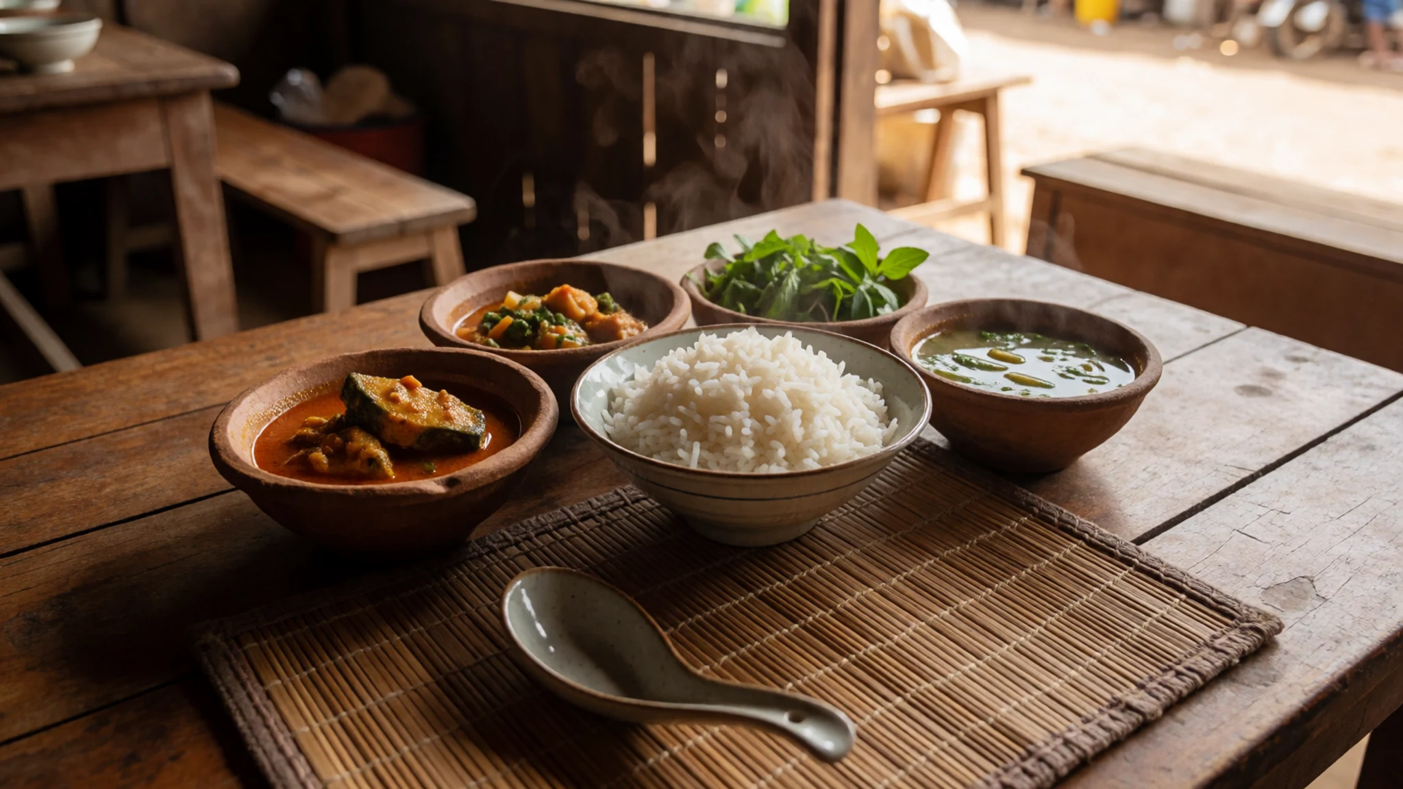
- Butterfish dishes — Rakhine restaurants near the market
Butterfish is a local favourite that appears on the menus of several Rakhine restaurants. It is usually cooked simply, with spices and a light sauce. Ask what fish is fresh that day, since supply depends on the morning catch from the river and lakes.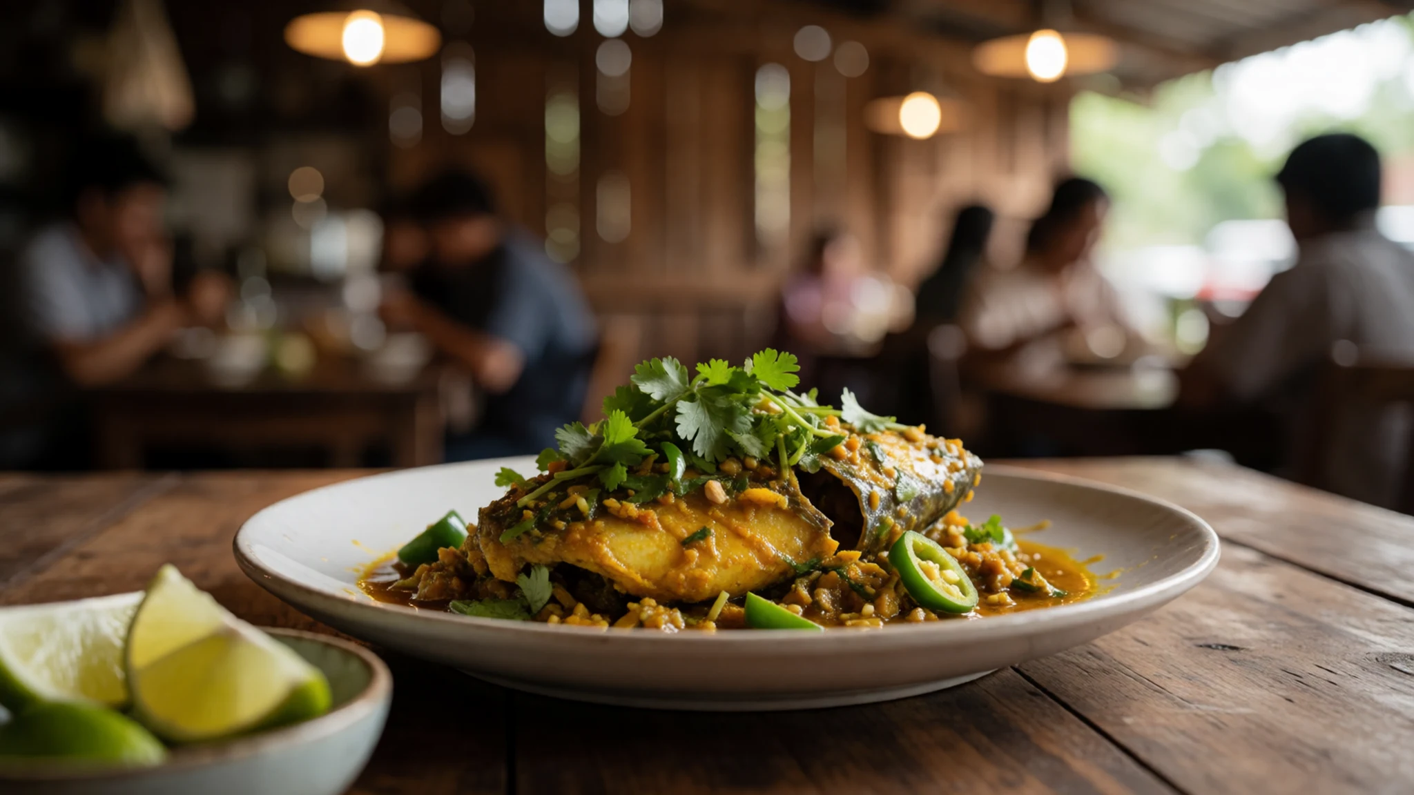
- Cashew chicken — Rakhine restaurants in the town centre
This dish, combining chicken, cashews and a savoury sauce, is a reliable choice at Rakhine-style restaurants. It is milder than many Burmese curries and suits visitors who want something familiar. Pair it with rice and a fresh vegetable side dish.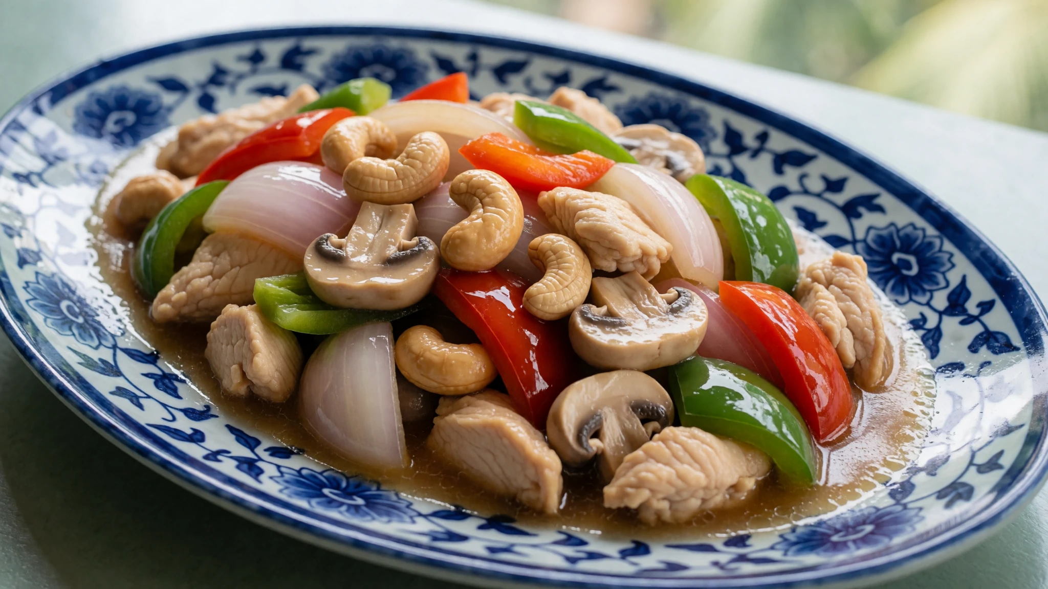
- Chinese-style stir-fries — Family-run eateries and the restaurants near the main road
Because the town has a Chinese-influenced cooking tradition, many eateries serve stir-fried noodles, vegetables and meat in the Chinese style. These can be a safer option when you want something cooked to order and hot. Check that the kitchen looks clean and that food is served fresh. - Myanmar beer — Any eatery or the restaurants of guesthouses and hotels that open to non-guests
Myanmar beer is the usual drink with a meal, served cold in many eateries and restaurants. Prices are higher here than in larger cities because the town is remote, so expect to pay a little more than in Yangon. It pairs well with the spiced curries and fried dishes.
Plan it
Best time. Mid-October to mid-March is the cool, drier season, and temperatures can drop to around 13 °C at night. November to mid-March is the easiest window for walking between sites, when mornings are cooler and attractive mists often hang over the fields. The rains usually begin in late May and end by mid-October, so avoid those months unless you want to see the landscape at its greenest and accept muddy tracks.
How long. 2–3
Getting there. Fly to Sittwe, which is the nearest airport and has connections from across Myanmar, then travel about 1.5 hours to Mrauk U by bus, minibus or pickup. Long overland routes run from Mandalay and Bagan via Magway, and take up to around 16 hours from Magway. Buses from Thandwe take about 15 hours. Check current road and permit conditions before you travel, as overland routes can change.
Budget. mid
Tips
- Hire a bicycle, motorbike or pickup for a day, because the sites are spread out and walking between them takes time
- Carry enough cash in kyat, as card payment is unreliable outside a few larger hotels
- Visit Shitthaung and Htukkanthein early in the morning, then climb Pitaka Taik for sunset
- Bring water, sun protection and a hat, since the heat builds fast between late morning and mid-afternoon
- Book onward transport out of Sittwe in advance, because connections are limited and fill quickly
Etiquette
- Dress modestly at every temple, with shoulders and knees covered
- Ask before photographing monks, worshippers or people at prayer
Nearby
Sources
- Wikidata Q1951490 (CC0)
- Wikipedia: Mrauk U (rev 1376860816) (CC BY-SA 4.0)
- Wikivoyage: Mrauk U (rev 5411651) (CC BY-SA 4.0)
- Photo 01 mysticalmrauku.jpg (Jmhullot) (CC BY 3.0)
- Photo 02 map-of-mrauk-u.jpg (Uthantofburma) (CC BY 3.0)
- Photo 03 vista de Mrauk-U (Victor Couto, after Wouter Schouten) (Public domain)
- Photo 04 Illustration of Mrauk U under British occupation in 1834 (Public domain)
- Photo 05 1825 Map of Mrauk-U (Arezarni) (CC BY-SA 4.0)
- Photo 06 Mrauk U Landscape (Arezarni) (CC BY-SA 4.0)
- Photo 07 Shitthaung002.jpg (Uthantofburma) (Public domain)
- Photo 08 HtukKanThein.jpg (Jmhullot) (CC BY 3.0)


