Mount Taranaki
Mount Taranaki, New Zealand
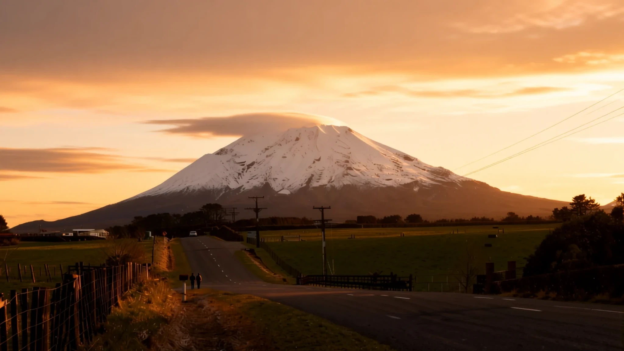
Mount Taranaki is a near-perfect volcanic cone that rises alone above the dairy farms of New Zealand's west coast, with forest tracks and waterfalls on its flanks.
The place
Mount Taranaki, known in Māori as Taranaki Maunga and for a long time as Mount Egmont, is a dormant stratovolcano on the west coast of New Zealand's North Island. At 2518 metres it is the second highest mountain on the island, after Mount Ruapehu. Its cone stands almost alone above the farmland of Taranaki province, so the summit can be seen from many kilometres away. The near-symmetrical shape is the first thing most people notice, and the view is clearest in settled weather, which is never guaranteed.
On the south side sits a smaller secondary cone, Fanthams Peak. Together the two form a broad, forested base cut by fast streams that run down toward the coast. Around the lower slopes the land is mostly dairy pasture, and small towns such as Stratford, Inglewood and Eltham sit around the foothills.
Geologically the mountain belongs to a group of young volcanoes in the region, built over the remains of older volcanic complexes to the northwest. Mudflows from past eruptions, known as lahars, can still be seen spread across the plains around the mountain, a reminder of how far debris has travelled in the past.
Above the bush line the ground turns bare and rocky, and the summit is often wrapped in cloud. The mountain makes its own weather, and the lower forest, the upper scree and the open fields each feel like a different place.
Its story
Māori regard the mountain as tapu, and before European contact it was not climbed by Māori. That changed in 1839, when the whaler James Heberley reached the summit first, followed by the Swiss-trained doctor and naturalist Ernst Dieffenbach. Dieffenbach was working for the New Zealand Company, which wanted advice on land across the North Island. On his climb he noticed the fast-flowing streams on the slopes and judged them well suited to water-driven mills, a remark that shows how the settlers were already reading the landscape as farmland and industry.
Within a few decades the mountain itself was taken. In 1865 the New Zealand Government confiscated it from Māori under the New Zealand Settlements Act, during the Second Taranaki War. The official reason was to establish and maintain peace. The law was framed to seize the land of Māori described as being in rebellion, and to hand it to military settlers as farmland.
The mountain returned to the people of Taranaki in 1978 under the Mount Egmont Vesting Act. The same Act passed it straight back to the Government as a gift to the nation. The Waitangi Tribunal, in its 1996 report, observed that there was no evidence the hapū had agreed to that arrangement.
For anyone walking the park today, this history is part of the landscape. The tracks, huts and lodges were built on land whose ownership remains a live question, and understanding that makes the mountain more than a scenic backdrop.
What to see
- The summit route from Tahurangi Lodge — North slope, Egmont National Park
Tahurangi Lodge sits on the north slope beside the television tower, and it is the usual base for public climbs to the summit. These are generally held in the summer months and are organised by climbing and tramping clubs, who also provide informal guides. Conditions above the bush line can change quickly, so join a club day or go with an experienced local rather than heading up alone.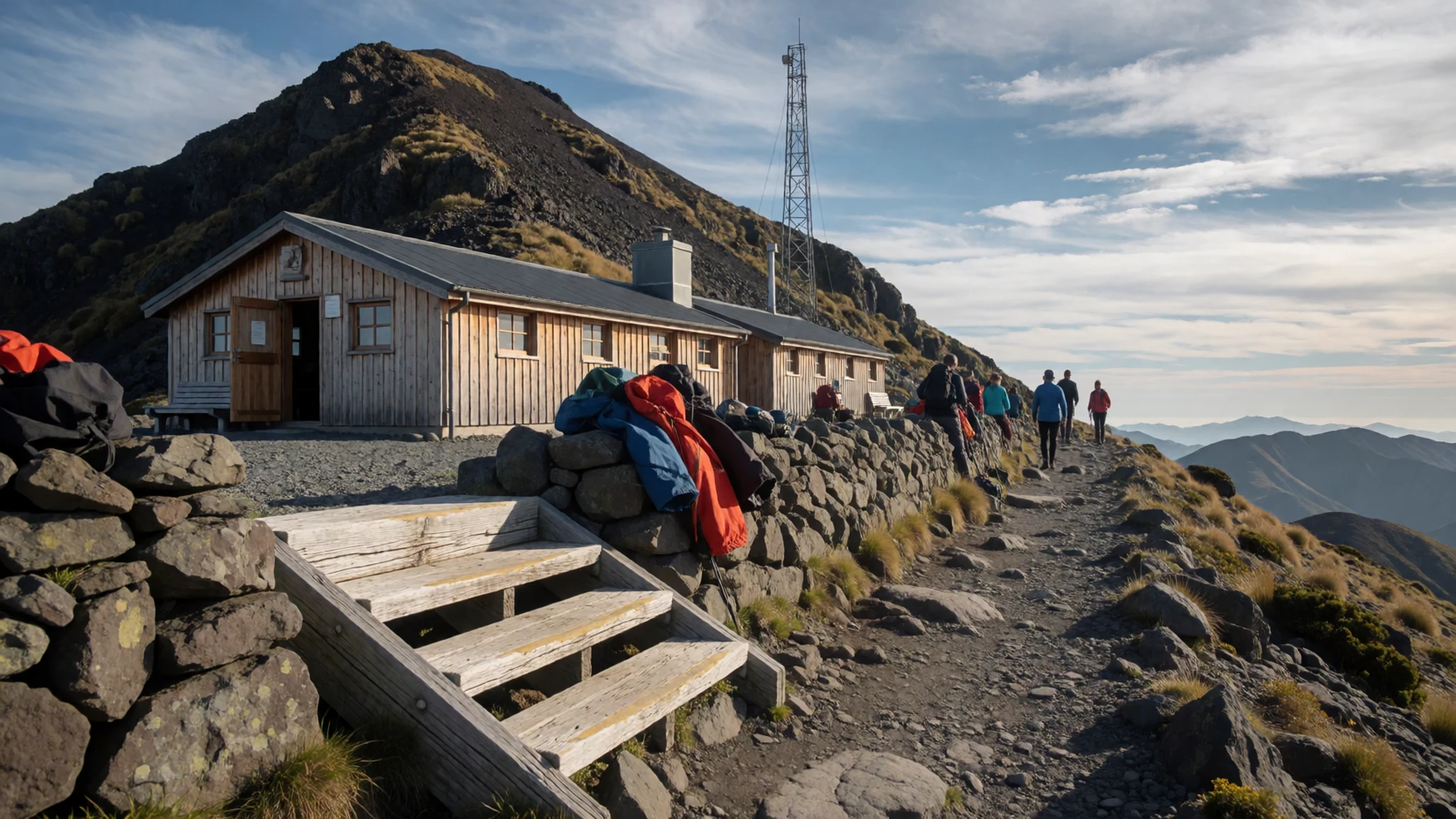
- Manganui skifield — Eastern slope, above the Manganui Gorge
The Manganui skifield is a small ski area on the eastern slope, with four lifts and very basic facilities. There is no gear rental on site. Equipment is carried in across the Manganui Gorge by flying fox, and a cargo lift handles most heavy loads. Come prepared to carry your own kit, and check conditions before you set out.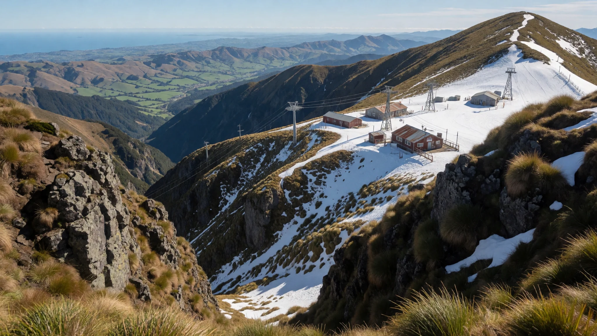
- Pouakai Circuit — Egmont National Park, western side
The Pouakai Circuit is one of the best known tramping loops in the park. It gives changing views of the cone from several angles, through bush and open tussock. Walkers should treat it as a full-day or multi-day commitment, with food, water and warm layers, and should check weather and track notices with the Department of Conservation before starting.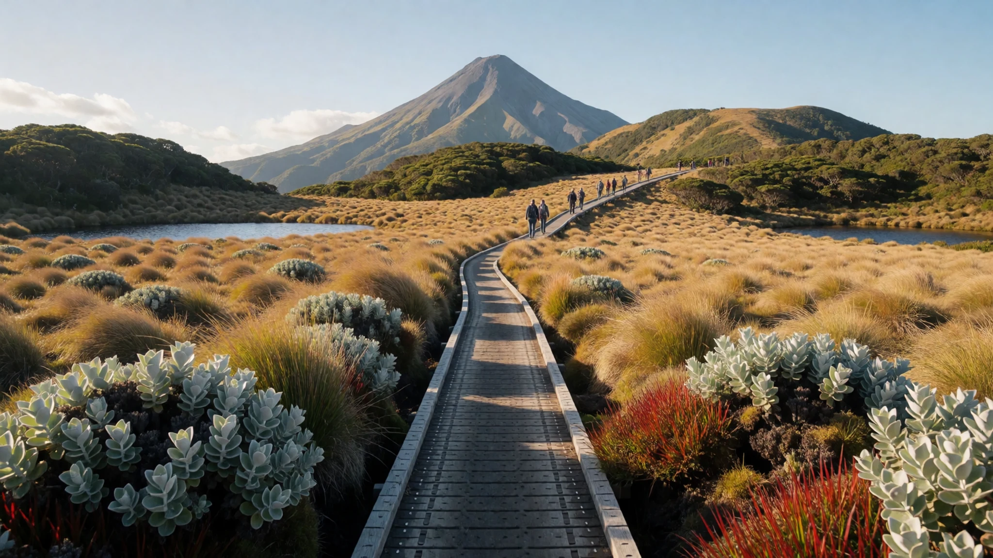
- Syme Hut near Fanthams Peak — South side, near Fanthams Peak
Syme Hut lies close to Fanthams Peak on the south side of the mountain. The Department of Conservation looks after the hut, and trampers take places in the order they arrive, with no booking they can count on. It makes a practical overnight base for walkers who want to explore the secondary cone without carrying a full tent.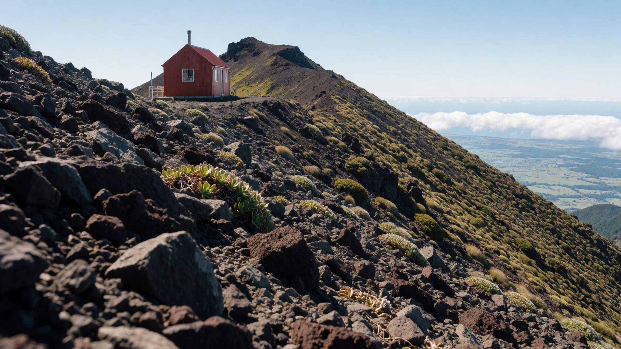
- The inland towns around the mountain — Eastern and southern foothills
A drive around the mountain shows how different the eastern and southern sides feel. Stratford, Inglewood and Eltham are small country towns with cafés, local shops and farm-gate produce, and they make useful stops between walks. Taking the smaller roads lets you see the cone from pasture, orchard and river valley, which is the best way to appreciate its scale.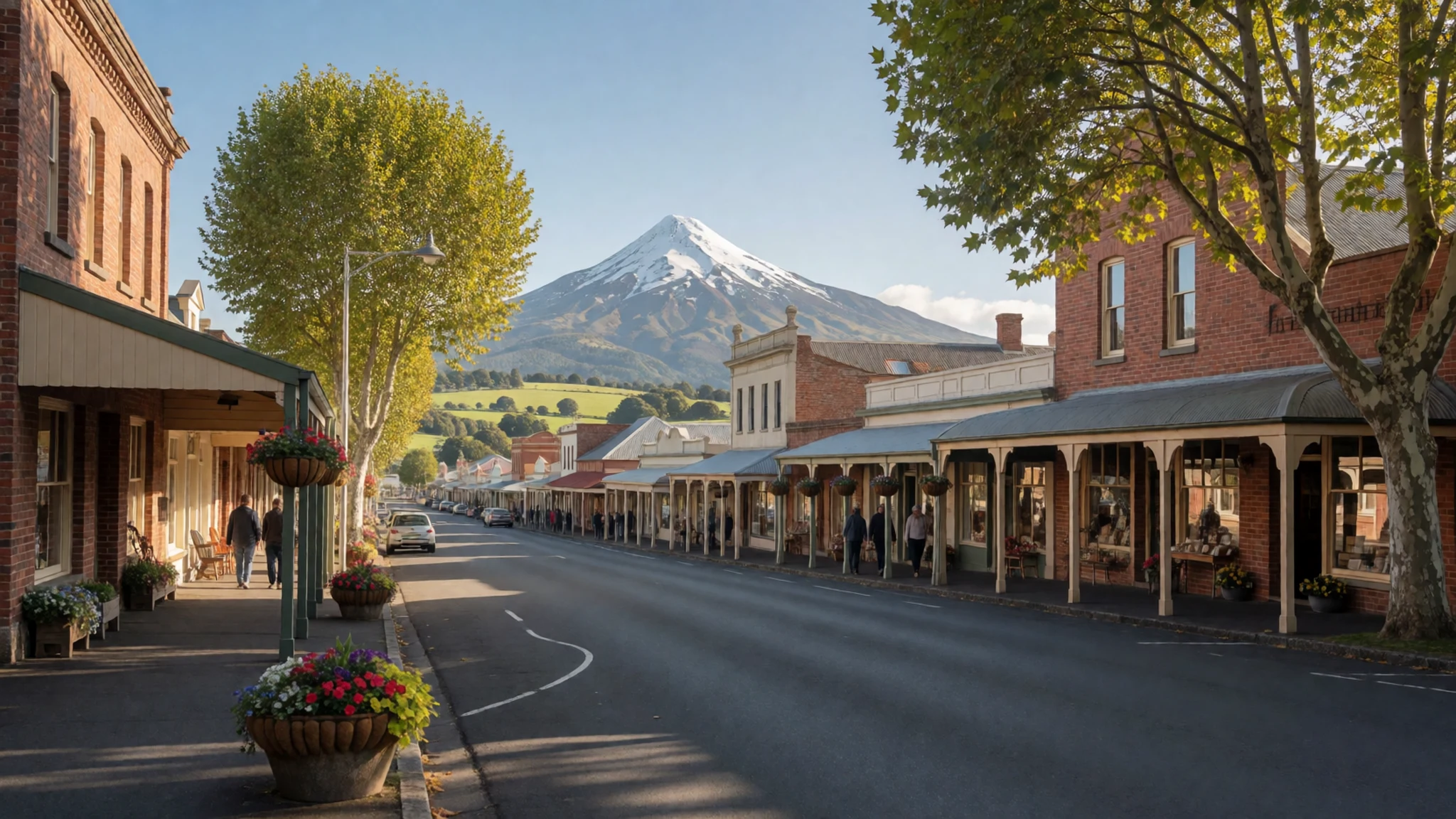
Culture
Taranaki Maunga is tapu, and local iwi and hapū hold a long, living connection to the mountain. Its name and its history are part of how Taranaki people understand themselves, so visitors are asked to listen to local interpretation and treat the land with care. Mount Taranaki is in a national park managed by the Department of Conservation, and many of the tracks cross land that is central to local identity. When visiting a marae, follow the host's lead on greetings, footwear and where to sit, and ask before photographing people or the meeting house. On the mountain itself, stay on marked tracks, keep to the huts' rules, and never remove stones or plants as a souvenir. Please always ask before photographing anyone at a marae or in a community event.
What to wear
Traditional Māori dress in Taranaki is built around harakeke, New Zealand flax. Weavers prepare the fibre by hand and produce cloaks, kete baskets and piupiu, the flax skirts worn in kapa haka performances. Some traditional pieces are finely woven and decorated with coloured feathers or dyed fibre. Moko kauae, facial tattoos carried by some women, are another expression of identity and are worn with pride, not as costume.
Day to day, people in the region dress much as they do elsewhere in New Zealand. Farming towns favour work boots, woollen jerseys and outdoor jackets. Rugby shirts are common on weekends, and Taranaki people wear the same practical clothing hikers do when they head up the tracks.
For a visit, dress for changeable weather. Pack a windproof and waterproof jacket, warm layers that work in cloud and sun, and a hat with sun cover, because the sky can be bright even when it is cold. Sturdy walking boots with grip are essential above the bush line, where rock and scree are loose. At a marae, dress modestly and avoid hats and shoes inside the meeting house unless your host says otherwise.
What to eat
- Local dairy: cheese, butter and cream — Farm-gate stalls and small shops in the foothill towns
Taranaki is dairy country, so milk products are the region's most familiar local food. Look for cheese, butter and thick cream sold at farm-gate stalls and in the small shops of the foothill towns. Buying direct from a farm or a local market keeps the money in the district, and staff are usually happy to explain how the milk was produced.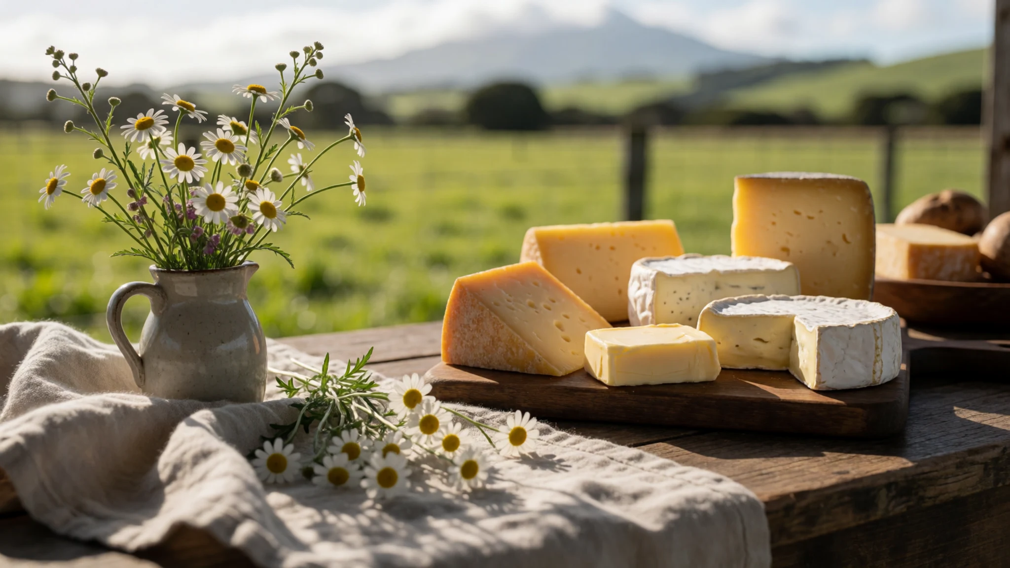
- Seafood from the coast — The New Plymouth waterfront
The west coast brings fish and shellfish to New Plymouth, where waterfront eateries and fish-and-chip shops serve whatever the boats have landed. Ask what is fresh that day, and expect simple preparation that lets the fish carry the meal. Eating by the water in the evening is one of the easiest ways to spend time in the city after a day on the mountain.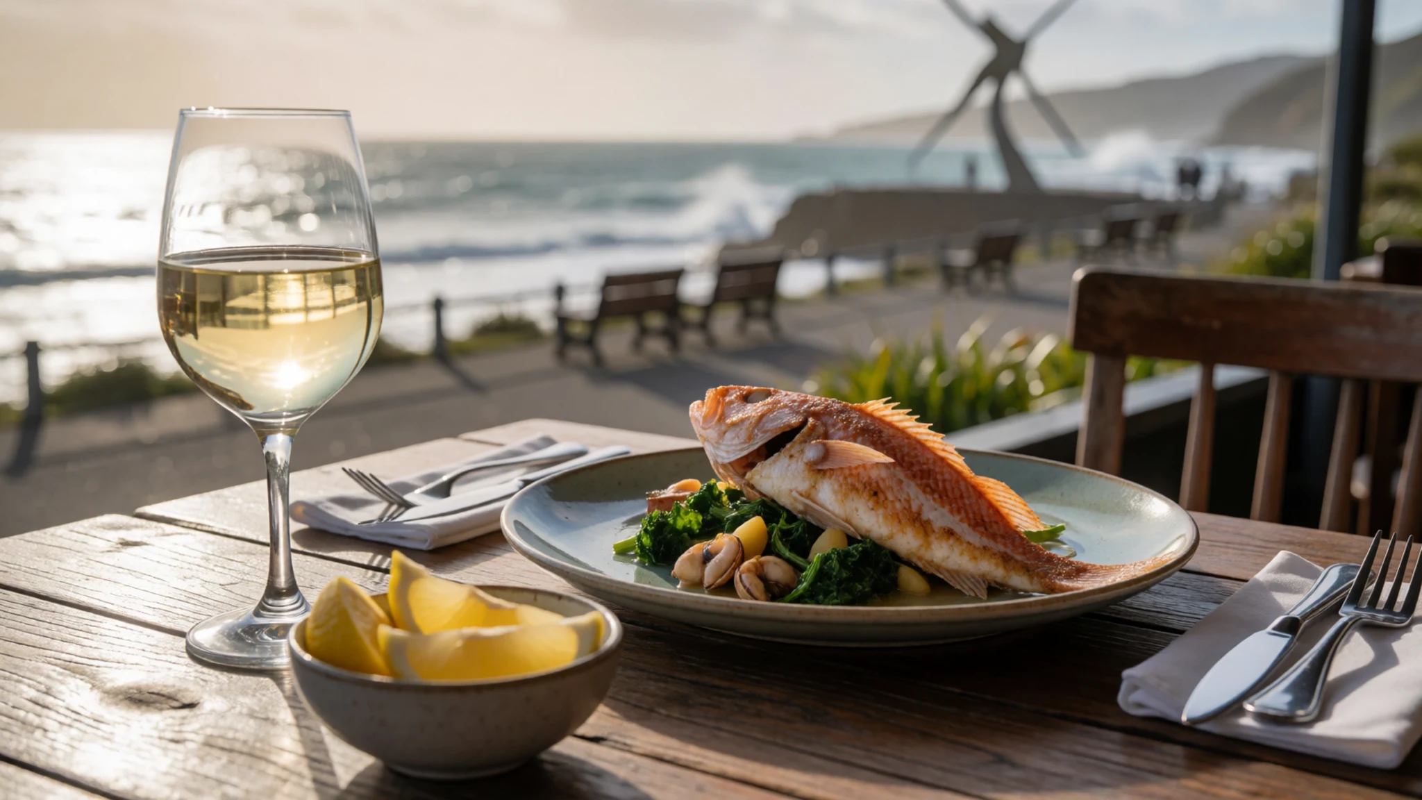
- Wine from the lower slopes — Wineries on the lower slopes, such as Okurukuru Winery
Vineyards on the lower slopes produce wines that are best enjoyed at the cellar door, where you can taste with the people who made them. Okurukuru Winery is a well-regarded example, set in scenery that suits a long lunch. Book ahead if you plan to visit at a weekend, and arrange a designated driver or a local tour if you intend to taste several wines. - Hāngī and marae-style feasts — Marae and cultural tourism operators in the region
A hāngī is a traditional meal cooked in an earth oven, with meat, root vegetables and kūmara laid over hot stones and steamed for hours. Feasts of this kind are usually held at a marae or by a local iwi or tourism operator, and they are often the most memorable meal of a trip. Arrange one in advance, and ask what is included and what is customary for guests to bring. - Feijoa and roadside fruit — Roadside stalls on the road round the mountain
Feijoas, the green, aromatic fruit of the guava family, ripen through autumn and are sold cheaply from roadside stalls and home gardens across the region. Taranaki's gardens also produce stone fruit and apples in season. Stop at a stall on the way round the mountain, where the fruit is often picked the same day.
Plan it
Best time. December to February is the main season, when the public summit climbs run and the tracks are at their most accessible. Autumn and spring suit quieter walking with fewer crowds. Winter brings snow and ice to the upper slopes, which is good for skiing at Manganui but demands proper gear for anything above the bush line.
How long. 2–3
Getting there. New Plymouth has a regional airport with no international flights, so most visitors fly into Auckland or Wellington and continue by InterCity coach or hire car. The road from Hamilton takes most of a long half day, and the coastal route is prone to slips in bad weather.
Budget. mid
Tips
- Check the weather and track notices before any climb, since conditions can change within minutes
- Join a club climb or hire a local guide for the summit route, especially if you are new to alpine terrain
- Start early in the day, when the cloud is usually thinnest
- Carry water, food and warm layers even for a short walk
- Plan fuel stops along the inland road, as service stations are spread out
- Allow a full day for the Pouakai Circuit and carry a map or GPS
Etiquette
- Respect tapu by staying on marked tracks and keeping to the land's protected areas
- Ask before photographing people, particularly at a marae or community event
- Leave no trace and take all rubbish back down the mountain
Nearby
Sources
- Wikidata Q850051 (CC0)
- Wikipedia: Mount Taranaki (rev 1380992817) (CC BY-SA 4.0)
- Wikivoyage: Taranaki (rev 5357077) (CC BY-SA 4.0)
- Ulrich Lange, Mount Taranaki or Mount Egmont (CC BY-SA 4.0)
- Russell Street, Mount Taranaki (CC BY-SA 2.0)
- Doc Searls, Clouds around Mount Taranaki (CC BY 2.5)
- Unknown author, Mount Taranaki 1896 (SLNSW) (Public domain)
- NASA/GSFC/MITI/ERSDAC/JAROS, NEO Egmont (Public domain)
- Wolf, Lahars at Mt Taranaki (CC BY-SA 2.0)
- Sarang, Pouakai Track 3 (Public domain)
- QFSE Media, Mount Taranaki over native bush (CC BY-SA 3.0 nz)


