Mount Tai
Mount Tai, People's Republic of China
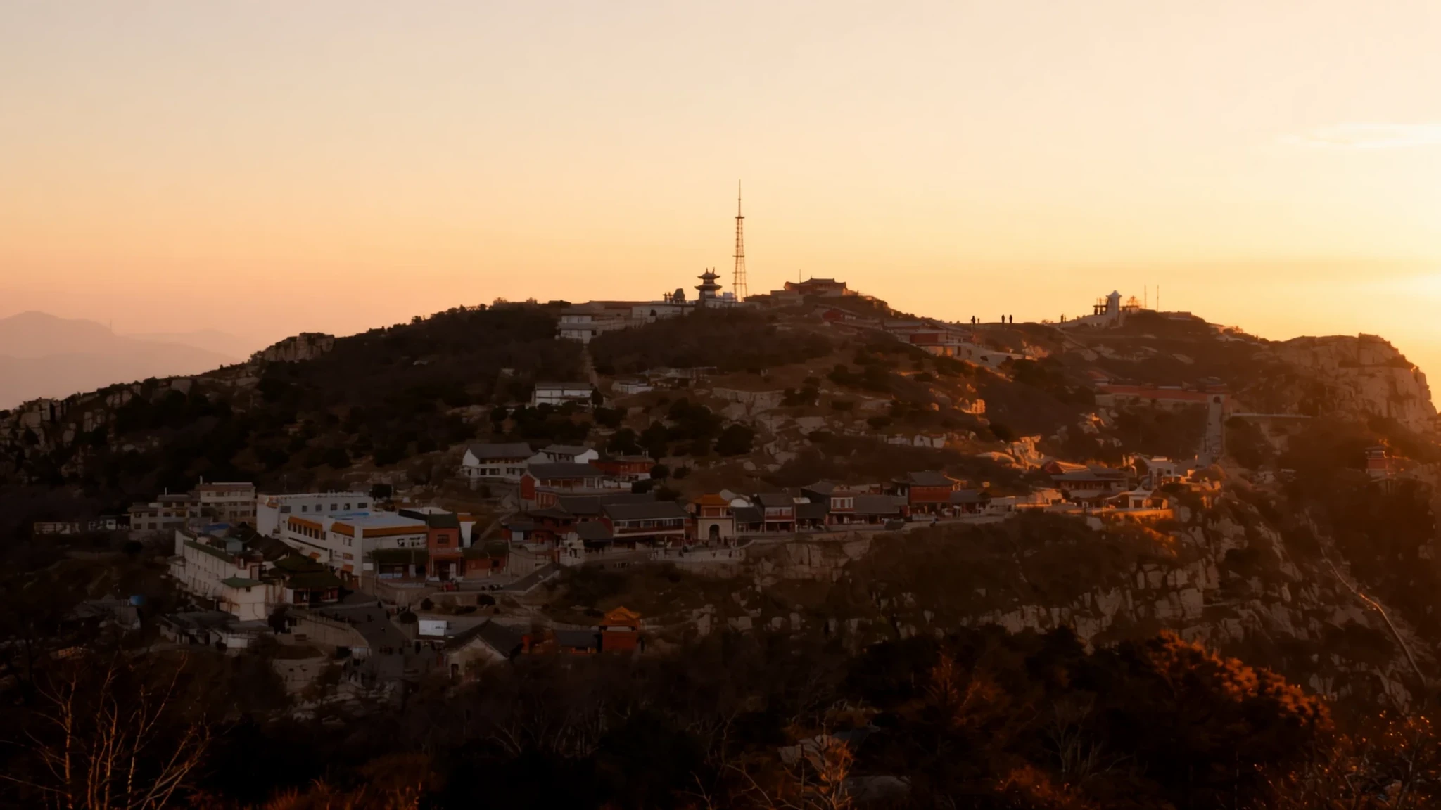
Mount Tai rewards a long, steep climb with sunrise views and a religious landscape that has been walked for well over two thousand years.
The place
Mount Tai, known in Chinese as Taishan, rises north of the city of Tai'an in central Shandong province, a short distance south of the provincial capital, Jinan. Its highest point, the Jade Emperor Peak, stands at 1,545 metres, and the massif climbs from around 150 metres above sea level across a base covering 426 square kilometres. It is counted as the eastern peak among China's Sacred Mountains and is linked in tradition with the sunrise, with birth and with renewal. For centuries it was a place of worship and a centre of state ritual, and that religious history shapes almost everything on the slopes today: temples and pavilions set into the hillside, inscriptions cut into the rock, and stone archways marking the old route to the summit. The mountain is a UNESCO World Heritage Site, a status that reflects its cultural weight as much as its scenery. The climb is a real undertaking rather than a stroll. The main route is a long flight of stone steps, and the lower sections are lined with teahouses and stalls. Weather changes quickly with altitude, so the summit can feel cold even when the town below is warm. The woodland is dense and some of the trees are very old, including groves said to have been planted by ancient emperors. Visitors come for the sunrise, for the views over the plain, and for the chance to walk a route that pilgrims and officials used for centuries.
Its story
Human presence on Mount Tai goes back to the Paleolithic, and settlement in the surrounding area is clear from the Neolithic onwards. Two early cultures, the Dawenkou to the south and the Longshan to the north, flourished near the mountain in that period. In the Xia dynasty the peak was called Mount Dai and fell within Qingzhou, one of the traditional Nine Provinces of ancient China. Worship on the mountain grew over thousands of years, through the Shang and into the Qing. Under the imperial system it took the form of the Feng and Shan sacrifices, a formal state rite. The emperor made offerings on the summit to Heaven and at the foot of the mountain to Earth. A carved inscription could record that the realm had reached a state of great peace, which made the mountain a symbol of legitimate rule as well as a holy site. Earlier, in the Zhou period, local lords travelled here to present food and jade ritual objects. These were arranged in a fixed pattern and buried on the slopes. The region also has an early tremor or storm recorded in the Bamboo Annals, which most scholars now treat as the earliest earthquake noted in Chinese history. The mountain's standing as a sacred centre helps explain why its stories were kept so carefully over the centuries.
What to see
- Hiking trail starting point — Foot of the mountain, north of Tai'an
The ascent begins here, at the foot of the mountain. Most people set out on foot, and the climb is a long one: expect several hours of stone stairs with rests along the way. Water and drinks are sold at the early stalls, and prices rise the higher you go, so buy what you need before you leave the base. Going down is harder on the knees, with steep steps.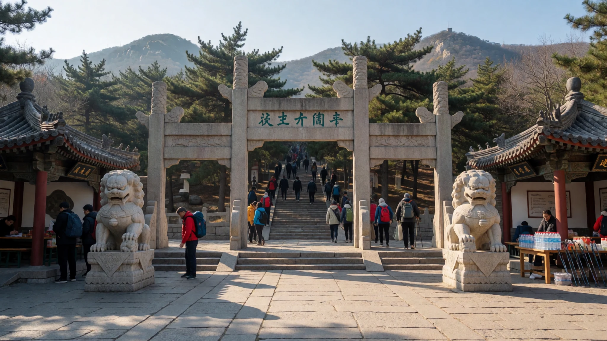
- Jade Emperor Peak — The summit, above Tai'an
Jade Emperor Peak is the highest point of Mount Tai, at 1,545 metres. Its name comes from the Jade Emperor, a central figure in Chinese mythology. Temple buildings cluster around the summit area, and on a clear day the views reach across the surrounding plain. Arrive with warm layers, since the summit is exposed even when the lower slopes feel warm.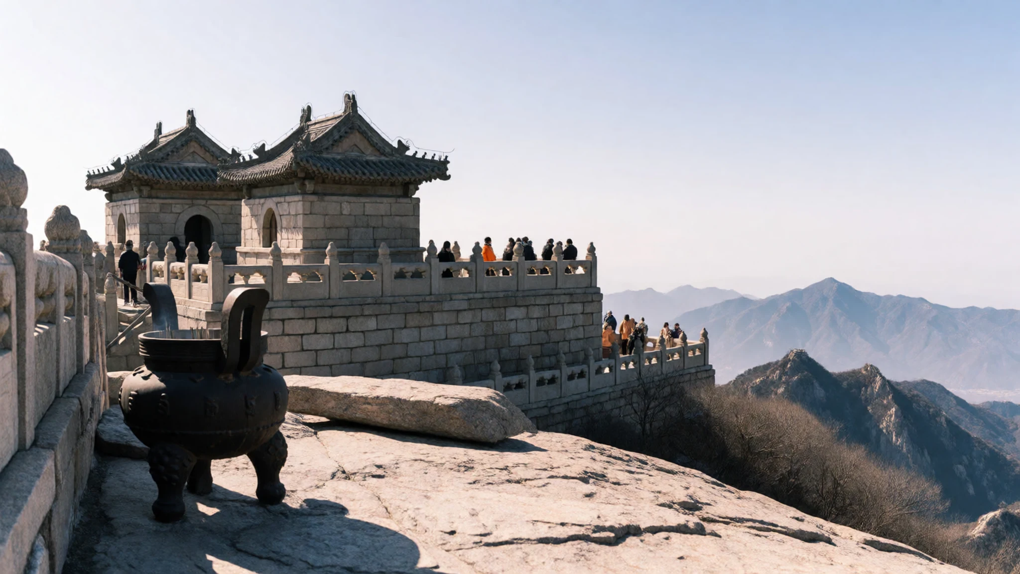
- Carved prayers on the rock — Along the paths on the lower and middle slopes
Prayers and phrases are carved into rock faces along the paths, some cut long ago and many softened by weather. They mark the mountain as a sacred route rather than simply a trail. Stop to read a few and notice how the characters follow the shape of the outcrop. Stay on the stone walkways and avoid touching the carvings, since hands wear the surface faster than rain does.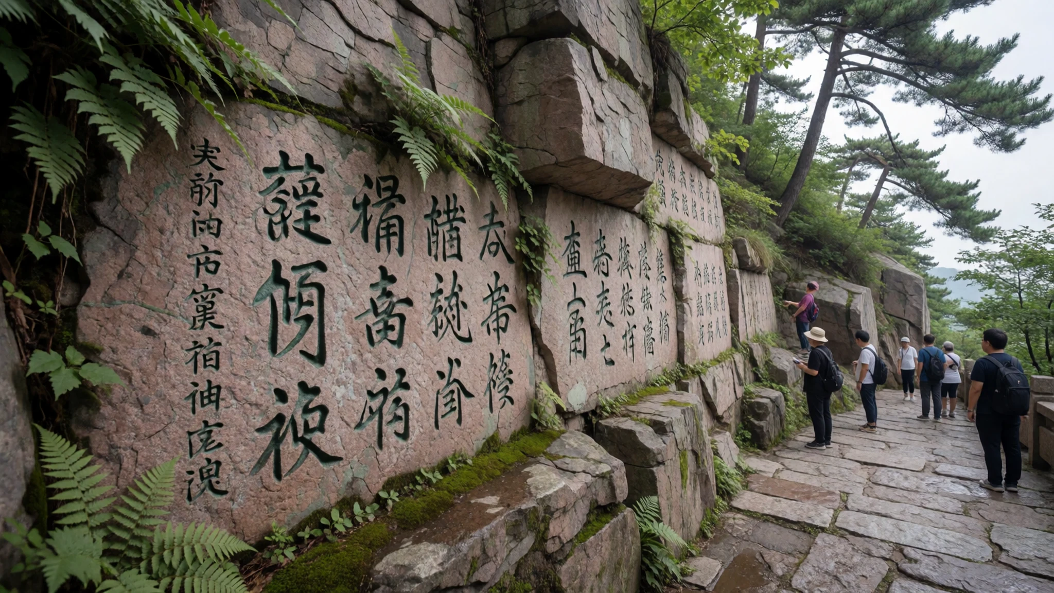
- Ancient altars, gates and archways — The old route on the middle and upper slopes
Altars, gates and stone archways line the old route up the mountain, some built for ritual processions and others as shelters. They show how pilgrims and officials moved up the slope over many centuries. Walk slowly through them and look for worn steps and inscribed lintels. Many structures are fragile, so keep off railings and never climb onto an altar. Each gate marked a stage in a formal progress up the mountain.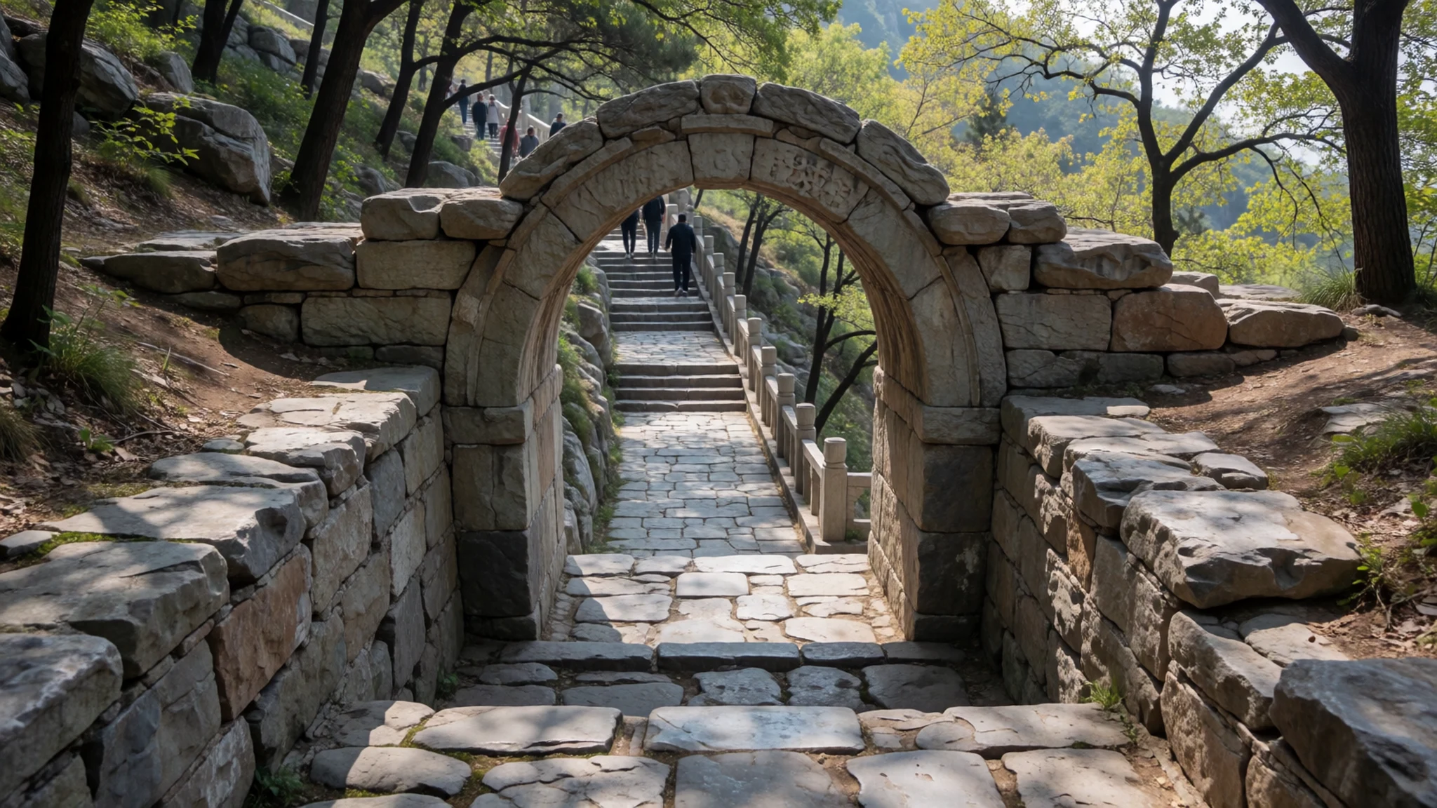
- Sunrise viewpoint — The summit area, facing east
Many people climb through the night to watch the sunrise from the top of the mountain, a common reason for making the ascent. Light arrives over the eastern horizon, and the mountain has long been linked with sunrise and renewal. Bring a warm jacket and a torch, as the walk in the dark is slippery and the wait at the top can be long and cold. Arrive early to find a place on the rocks.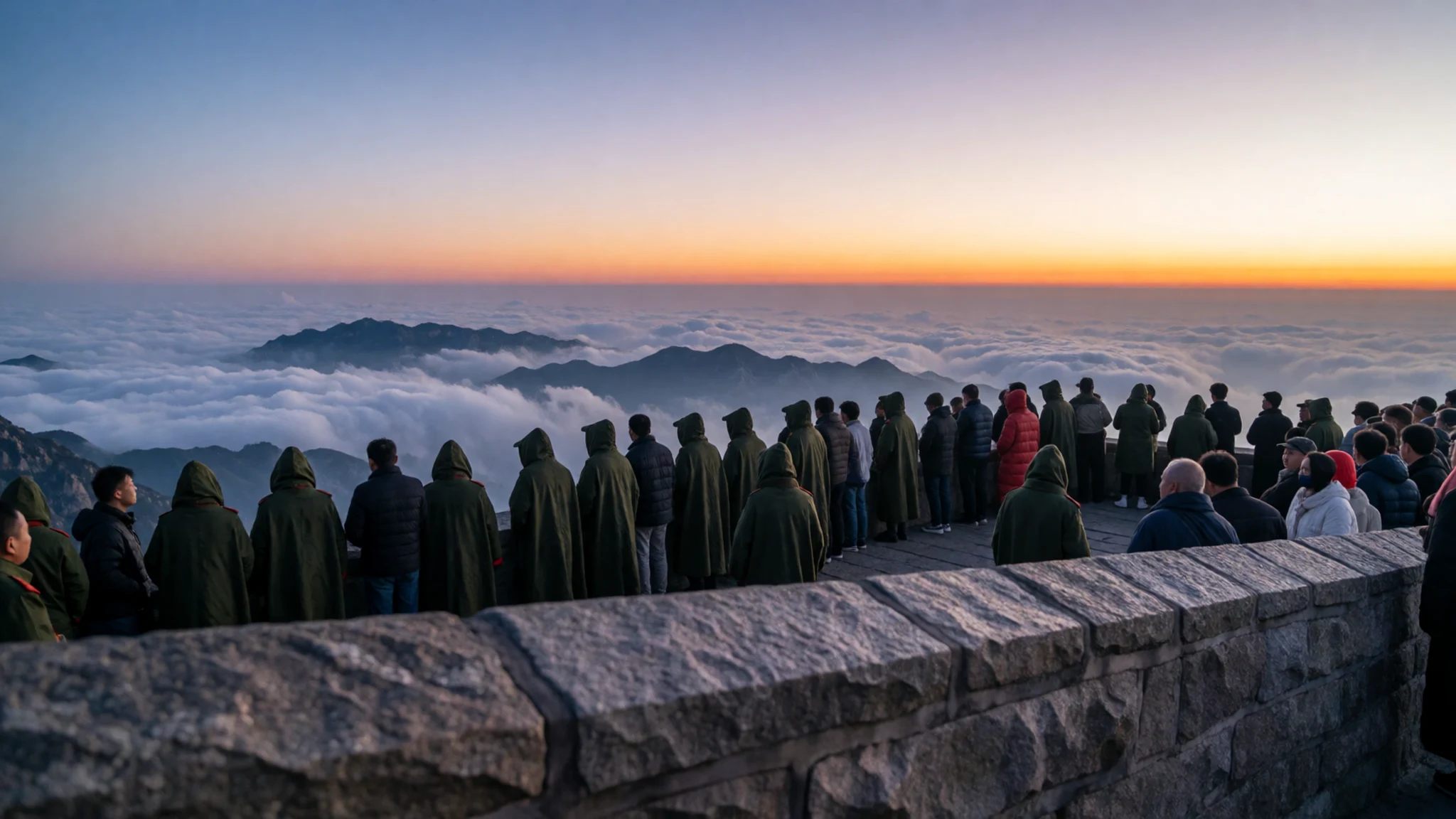
Culture
Mount Tai is a working religious site as well as a hiking route, and the temples on the summit are still used for prayer. Halls and shrines carry incense smoke, and worshippers often leave offerings, so follow the lead of people around you. Carved prayers cover many rock faces along the paths, and visitors sometimes lean on or touch them; keep to the stone walkways instead. The old archways and altars are part of a continuous route that pilgrims walked for centuries, so treat them with the same care you would give a museum. Photographing views is generally fine, but ask before taking close pictures of people praying or of clergy. Summit temples are quiet spaces, and loud conversation inside them stands out. Vendors sell drinks and warm clothing along the route, and the lower stalls are the place to buy what you need before you climb. Keep your voice low inside temple halls and do not climb onto altars or carved stones.
What to wear
Imperial ritual dress on Mount Tai followed the robes worn at court, often in silk and brocade with embroidered symbols of rank and heaven. A Ming-dynasty bronze of Bixia Yuanjun, the Sovereign of the Clouds, shows the layered robes and flowing sleeves of sacred dress. Ordinary worshippers wore plainer cloth, cotton and padded garments that suited the mountain climate. Today people in Tai'an dress in ordinary city clothes, with down jackets, sports shoes and knitted hats, and many climbers arrive in tracksuits. Visitors should dress for a mountain rather than a city. Choose layers that can be opened on the lower steps and closed near the summit, where the wind can be sharp even in good weather. Wear trousers or a long skirt for temples, and cover shoulders at sacred sites. Pick shoes with a firm sole and good grip, because the steps are steep and worn smooth in places. A hat and sunglasses help on the open ridge. Leave flimsy flip-flops at the hotel, since they are a poor choice on stone steps.
What to eat
- Shandong jian bing — Stands on the lower and middle sections of the ascent
A local take on the Shandong jian bing is sold from stands on the mountain. A thin egg pancake is spread with thick soy sauce and rolled around a stalk of green onion, filling enough for the climb. Stands cluster near the lower steps.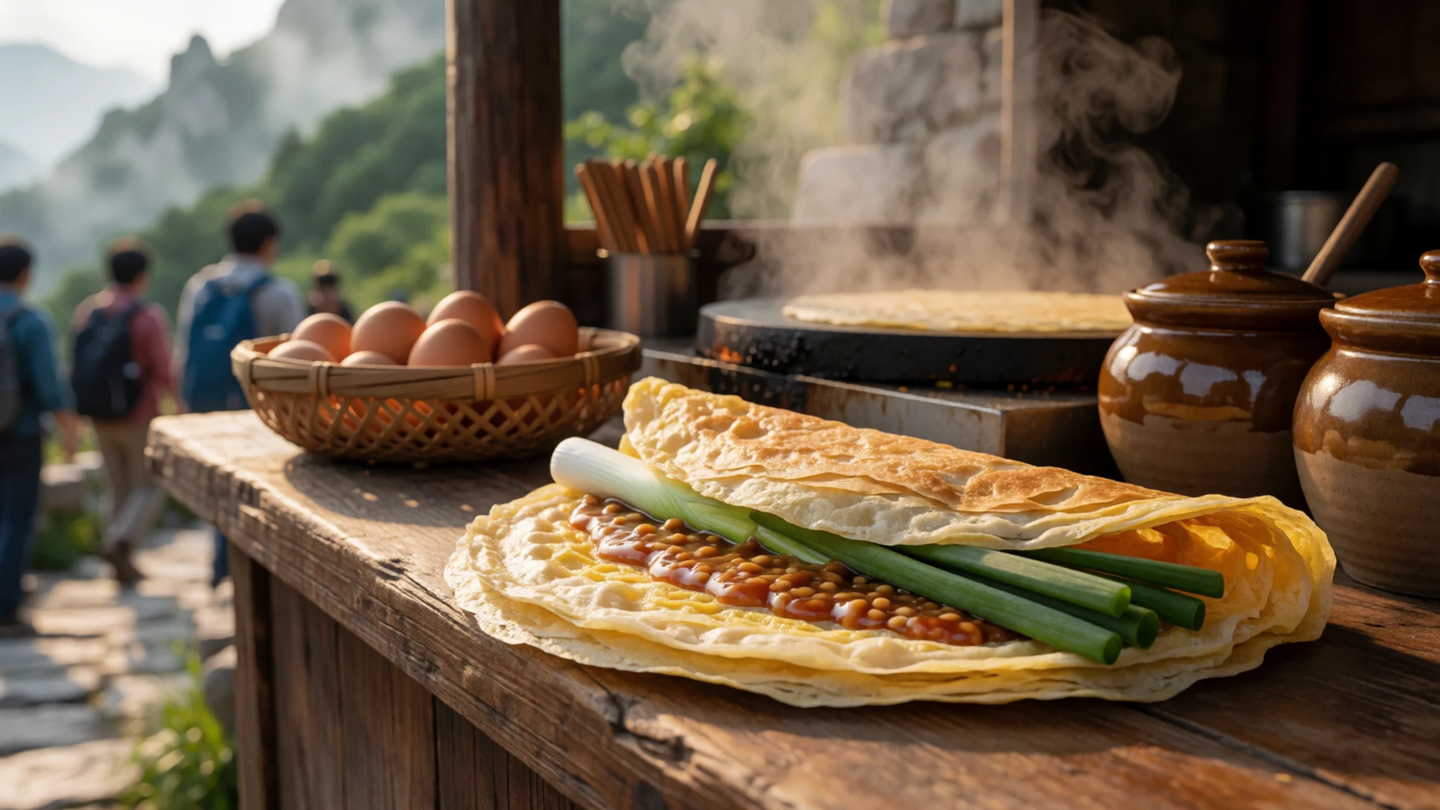
- Trailside drinks and water — Stalls along the whole ascent
Vendors along the path sell water and soft drinks, and prices climb with every stage of the ascent. Carry a bottle from the base, because the higher stalls charge more and the air grows cold and dry.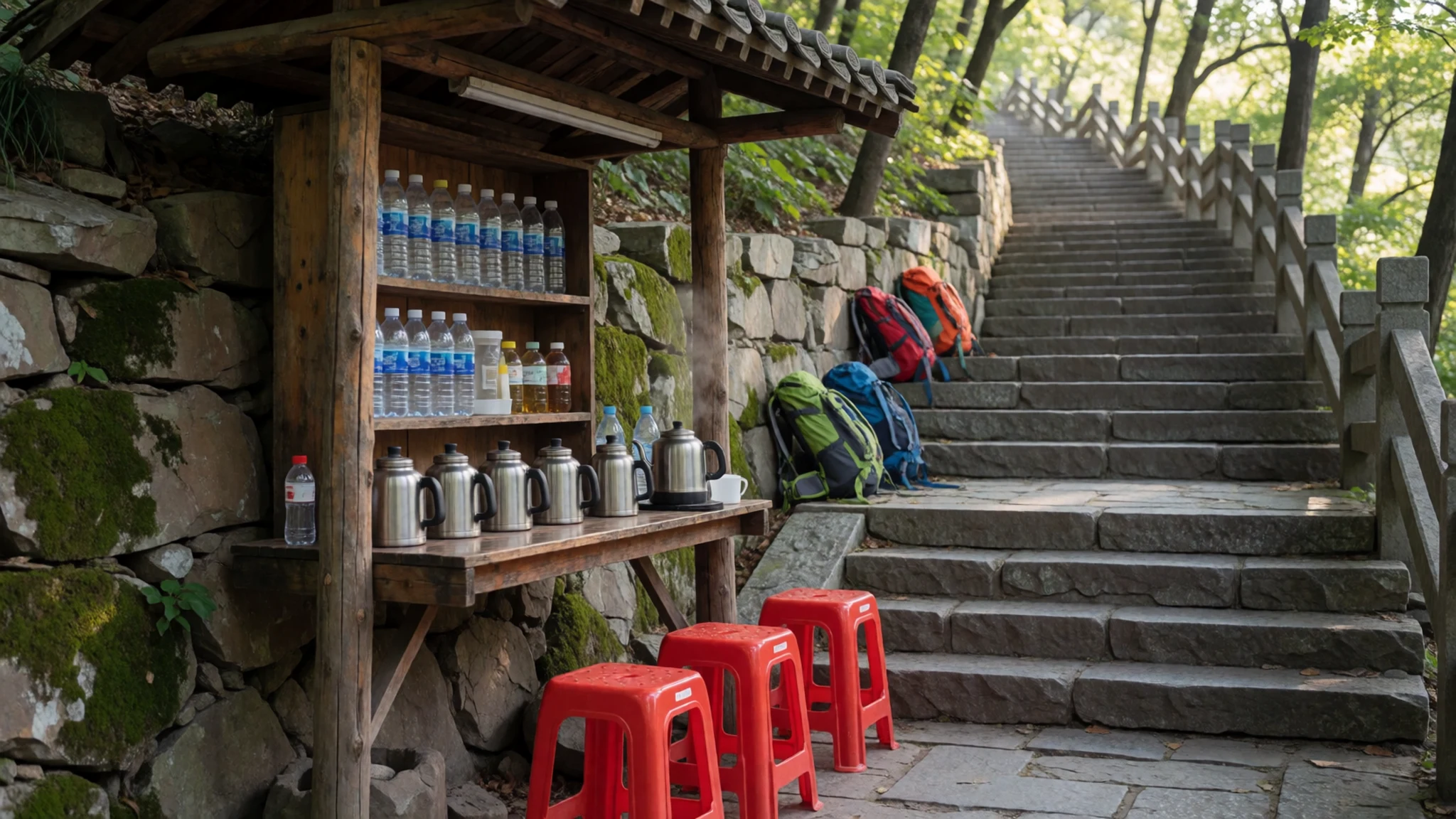
- Mid-slope teahouse — A teahouse on the main ascent
A teahouse sits partway up the mountain, serving hot drinks to climbers who need a rest before the steepest stretch. It is a sensible place to warm up before the cold air near the summit. - Summit restaurants — The summit area, near the temples
Several restaurants operate on the summit, offering simple hot meals that suit a cold, windy day at altitude. Expect basic menus, busy lunchtimes and prices above those at the foot of the mountain.
Plan it
Best time. Spring and autumn suit the climb best, with clearer skies and milder temperatures. July and August are the warmest months and bring the monsoon rains, so the mountain is hot and humid then. Winter is cold on the summit.
How long. 2–3
Getting there. Trains are the easiest way: express services from Beijing South reach Tai'an in about two hours, followed by a short taxi or bus ride to the trailhead.
Budget. mid
Tips
- Start the climb early, before the day trippers arrive
- Book train tickets ahead for weekends and holidays
- Carry cash for small stalls and teahouses
- Wear grippy shoes, since the descent is steep
- Dress in layers, as the summit is far colder than the town
Etiquette
- Keep to the marked path and do not sit on carved stones
- Ask before photographing people at prayer
- Carry your rubbish back down the mountain
Nearby
Sources
- Wikidata Q216059 (CC0)
- Wikipedia: Mount Tai (CC BY-SA 4.0)
- Wikivoyage: Mount Tai (CC BY-SA 4.0)
- Photo: 01 Taishan (xiquinhosilva) (CC BY 2.5)
- Photo: 02 Jade Emperor Peak (xiquinhosilva) (CC BY 2.5)
- Photo: 03 Jade Emperor Peak (xiquinhosilva) (CC BY 2.5)
- Photo: 04 Immortal Bridge (Capital Photographer, original by Pfctdayelise) (CC BY-SA 2.5)
- Photo: 05 Taishan (xiquinhosilva) (CC BY 2.5)
- Photo: 06 Sunrise viewed from Mount Tai (AlexHe34) (CC BY 3.0)
- Photo: 07 Sovereign of the Clouds of Daw (Mary Harrsch) (CC BY-SA 4.0)
- Photo: 08 Ishigaki ishigantou (Paipateroma) (CC BY 3.0)


