Mount Rushmore
Mount Rushmore, United States
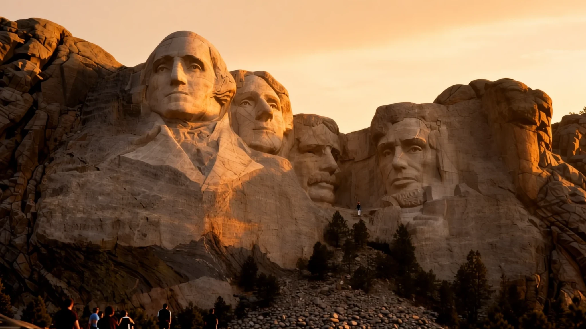
Four presidents carved into granite in the Black Hills: a short stop with a long story behind it.
The place
Mount Rushmore National Memorial is a huge work of sculpture cut into the granite side of Mount Rushmore, a summit in South Dakota's Black Hills, a short drive south-west of Keystone. Four enormous heads look out over the valley: George Washington, Thomas Jefferson, Theodore Roosevelt and Abraham Lincoln. Each was picked to stand for a stage in the national story, from the founding and expansion of the country to its growth and its preservation. The sculptor, Gutzon Borglum, called the work the Shrine of Democracy.
Most visitors come to the memorial park, which covers about 1,278 acres and draws more than two million people a year. The main viewing area sits across the valley from the faces, so the figures are seen at a distance rather than close up. The peak itself reaches 1,745 metres above sea level. It belongs to the Black Elk Range, the higher ground in the middle of the Black Hills, a dark, forested upland rising out of the surrounding prairie.
The mountain was chosen partly for its granite and partly for its orientation. The faces turn towards the south-east, so the sun lights them through much of the day. Visitors who arrive in the morning tend to find softer light and smaller crowds, while summer afternoons can bring fierce, brief thunderstorms that build over the hills and pass quickly. The memorial is a place to look at rather than to walk around: the faces are the point, and the terraces and paths are simply the frame for them.
Its story
Mount Rushmore was known to the Lakota as Igmu Tanka Pahá, or Cougar Mountain, for the many cougars in the area. Later it came to be called Tȟuŋkášila Šákpe Pahá, Six Grandfathers Mountain, after the six rounded knobs along its summit ridge. The name links the peak to a vision recorded by the Lakota holy man Black Elk, in which the Six Grandfathers, spirits of the six directions, appeared. The Lakota call the wider Black Hills Pahá Sápa and regard the whole region as sacred ground.
Many peoples have lived in the hills, among them the Ponca, Arikara and Mandan, later the Cheyenne and Arapaho, and by the middle of the nineteenth century the Lakota were the main population. Treaties recognised the Black Hills as Lakota territory, but that recognition did not last. An expedition led by a United States general reached the peak, and the gold that followed brought prospectors, then a conflict that reshaped the region.
The carving began as an idea from Doane Robinson, South Dakota's state historian, who wanted monuments to figures of the American West: explorers, a guide, and Lakota and other leaders. The sculptor Gutzon Borglum argued that the work should be national rather than regional, and he persuaded its backers to choose four presidents instead. He picked the granite face partly because it faces south-east and takes strong sunlight. Early plans showed Jefferson on Washington's left, but the rock there proved unsuitable, so the figure was re-sculpted to the right.
Senator Peter Norbeck championed the project and secured federal money. Borglum oversaw the work from 1927, with help from his son Lincoln, and the faces were completed in the years that followed. The project remains contested in parts of the Lakota community, who see the mountain's older name as the truer one.
What to see
- Mount Rushmore National Memorial — Black Hills, south-west of Keystone
The carving itself is the reason to come. The four faces are best seen from the memorial's main viewing area, where the sculpture sits across the valley and the detail of the hair, eyes and coats becomes clear through binoculars. The memorial is a national park site, and the walk to the viewing area is straightforward. Allow time for the light, which changes through the day as the faces turn towards the south-east.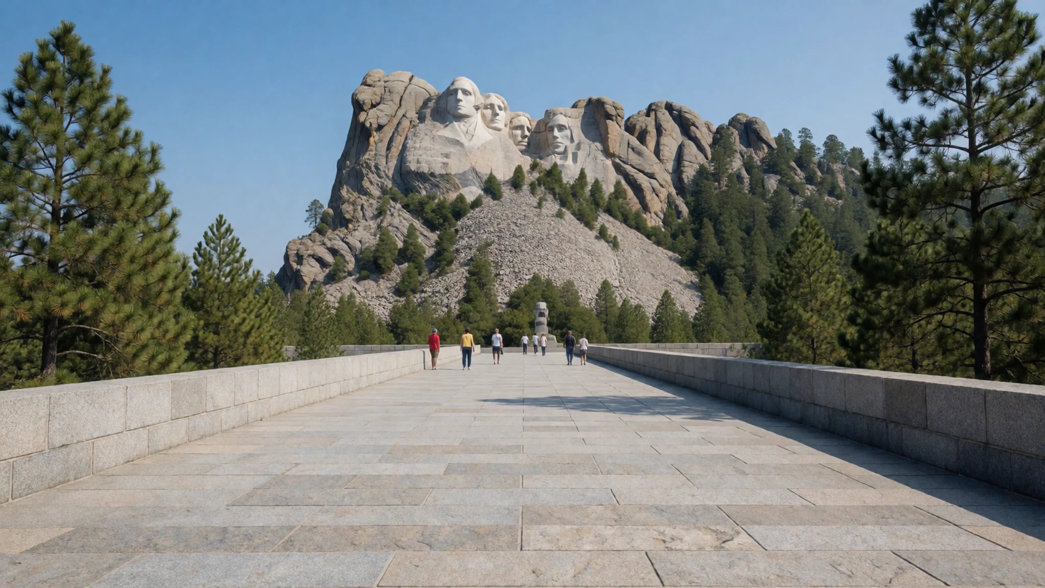
- Crazy Horse Memorial — Near Custer, Black Hills
Another mountain carving is in progress nearby, and many visitors pair the two. The Crazy Horse Memorial is described as the world's largest mountain carving in progress, so visitors can see the work advance over time. The campus also holds a museum and an art centre celebrating Native American culture and traditions. Plan it as a separate visit, since the two sites differ in tone and in scale.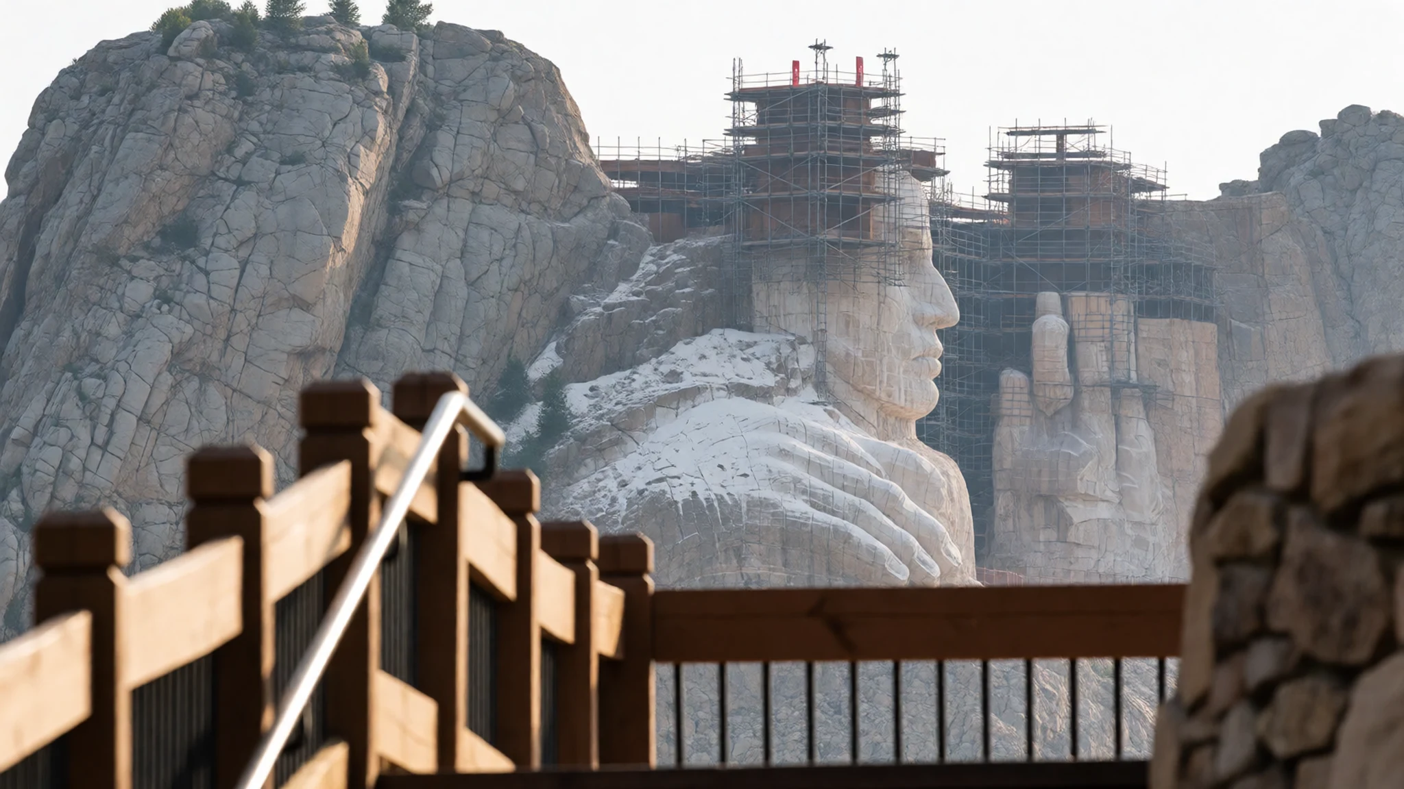
- Black Elk Peak — Highest point of the Black Hills, west-south-west of the memorial
The highest point in the Black Hills, formerly called Harney Peak, rises above the forest to the west of Mount Rushmore. It is the peak the US general climbed during an expedition that drew prospectors into the hills. The summit is reached on foot through pine forest and gives a wide view over the range. Check current trail and access information with the park before setting out.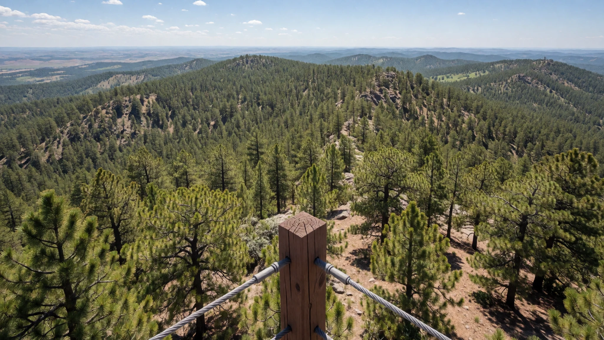
- Jewel Cave — Near Custer, Black Hills
Jewel Cave ranks among the world's most extensive cave systems, with passages mapped over a very long distance and new sections still being found each year. Its interior holds calcite formations that are fragile and must be protected. Tours go underground, where the air is cool and damp, so bring a layer whatever the weather above ground.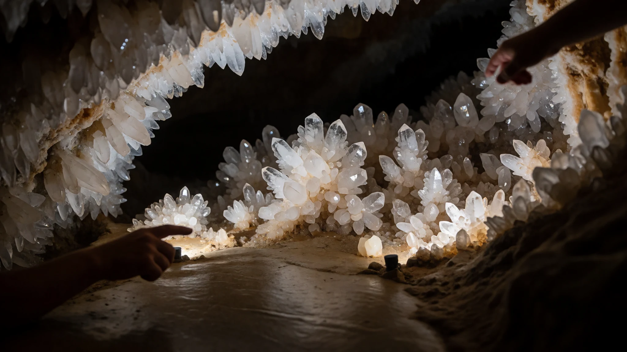
- The Mammoth Site — Hot Springs, southern Black Hills
The Mammoth Site is a working excavation where one of the largest collections of Columbian mammoth fossils in the country is still being uncovered. Bones remain visible in place, and the displays explain how the animals came to be there. It suits families and anyone curious about the region's deep history, which reaches well beyond the carvings. Check the official site for opening times.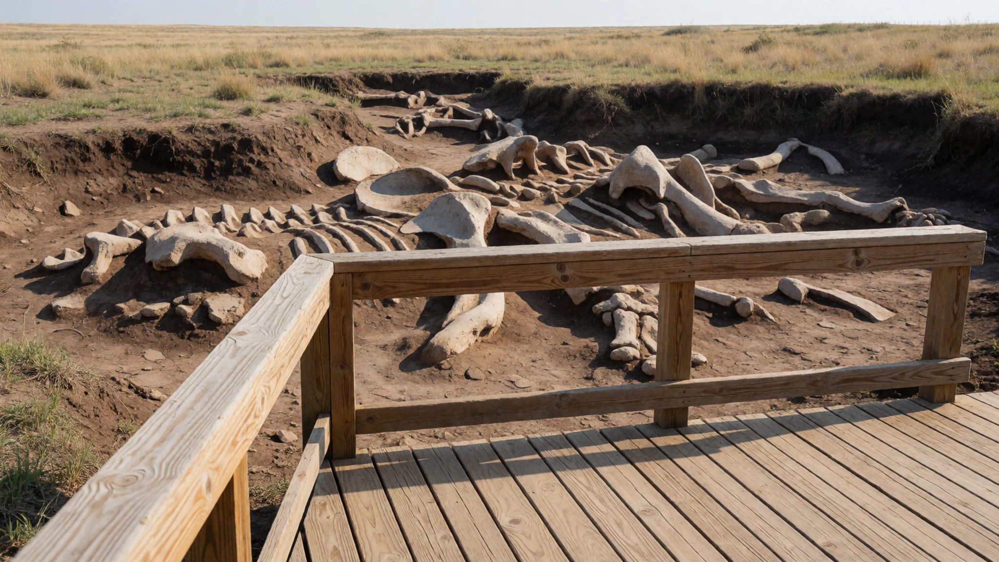
Culture
Mount Rushmore sits within the Black Hills, which the Lakota regard as sacred ground and call Pahá Sápa. Many Lakota people also know the mountain by its older name, Six Grandfathers Mountain, and that meaning sits alongside the monument's place in American public life. Most visitors come as tourists to a national memorial, and that is welcome, but the carving is also a point of disagreement, because the hills were Lakota territory under treaty before the sculpture was made. Read the interpretive panels, which set out both the national story and the Lakota view, and keep voices low on the terraces, where other people are looking quietly at the faces. Keep to the marked paths and terraces, and do not climb on the rock.
What to wear
Mount Rushmore lies in Lakota country, so the traditional dress most visitors will see in the wider Black Hills is Lakota regalia and the textiles tied to it. Traditional dress on the Northern Plains was made from tanned hide, most often deerskin or buckskin, and decorated with glass beads, quillwork and later trade cloth, with colours and patterns carrying family and community meaning. At powwows across the region, dancers wear beaded vests, bustles of eagle feathers, fringed shawls and moccasins. These are worn for dance and ceremony rather than everyday life, and many pieces are made by the wearer's family over long periods. Most people in the area now dress much as people do across the United States, in jeans, work boots and outdoor layers. Visitors should dress for a mountain climate that changes quickly: layers that can be added or removed, a wind-resistant shell for the exposed viewing area, a hat and sunscreen for summer sun, and sturdy closed shoes with grip for the stone steps and paths. Pack a light rain layer for summer afternoons, and choose modest, respectful clothing at powwows and ceremonies.
What to eat
- Bison burger — Casual eateries and diners in Keystone and Rapid City
Bison has been part of Black Hills cooking for a long time, and a bison burger is a standard order at casual eateries around the memorial. The meat is leaner than beef, so ask for it medium rather than well done.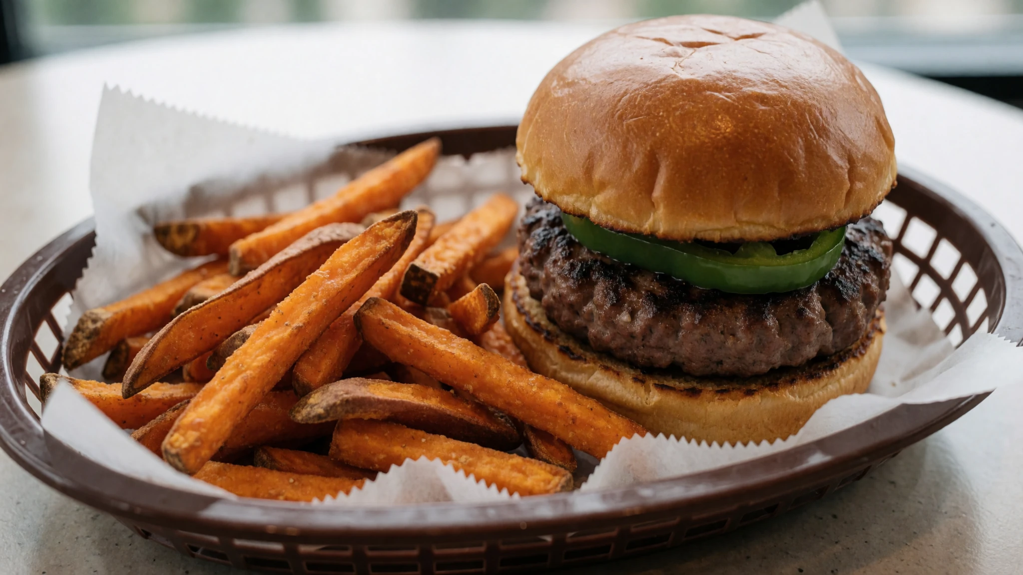
- Fry bread — Stalls and bakeries in Rapid City, and roadside stands on the reservations
Fry bread is a flat, puffed dough fried in oil, and it sits at the centre of many Native American family meals. It is often served plain, with honey, or as a base for a taco-style topping. Eat it fresh.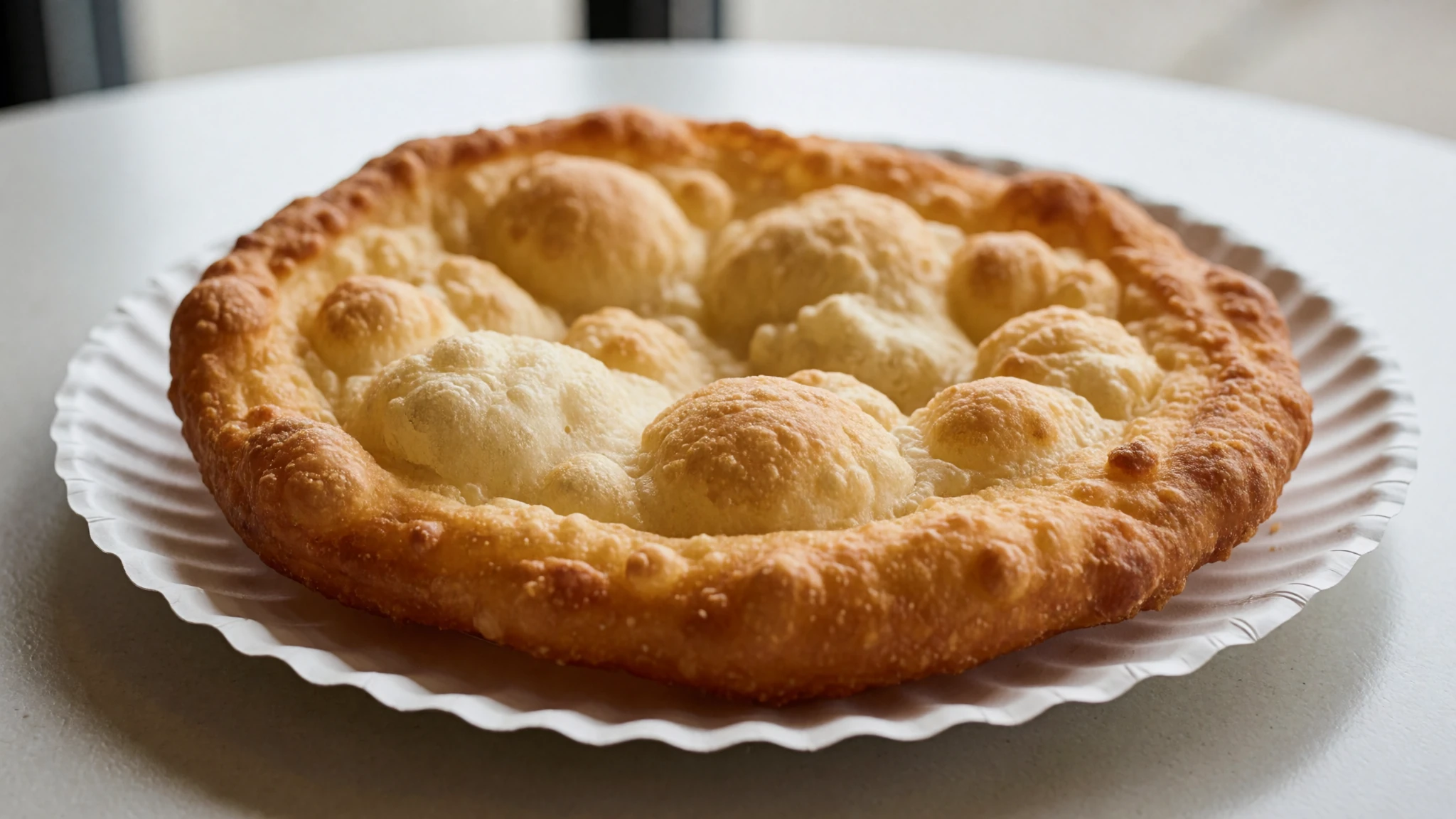
- Chislic — Bars and small-town cafés in the Black Hills
Chislic is a South Dakota dish of cubed meat, usually lamb or beef, fried or grilled and eaten off a toothpick with salt. It is common at bars and local gatherings across the state. Order it with a cold drink and expect it to arrive hot. - Chokecherry jam — Gift shops and general stores in Keystone and Hill City
Chokecherries grow wild in the hills, and their dark, tart fruit is made into jelly, syrup and sauces. It is sharp, so it pairs well with fry bread or pancakes. Look for it on breakfast tables and in the small-town shops near the memorial. - Trout — Restaurants and lodges along the streams near Custer and Hill City
Trout streams run through the Black Hills, and fresh trout is a common plate at lodges and waterside restaurants in the region. Cooked simply with butter and herbs, it suits a hot afternoon after a walk. Ask whether it is farmed or wild, since menus vary.
Plan it
Best time. September and early October suit most visitors, with cooler days, fewer crowds and the summer thunderstorms behind you. May and June are the wettest months, and brief but strong afternoon storms come through the summer, while July and August are warm and busy.
How long. Half a day to a full day
Getting there. Rapid City Regional Airport (RAP) is the nearest large airport, on the eastern edge of the Black Hills; Sioux Falls Regional Airport (FSD) is further east. South Dakota has no intercity passenger train, so the last leg is by car, or by bus along Interstate 90 with Jefferson Lines. From Rapid City, drive south-west into the hills.
Budget. mid
Tips
- Go early in the morning for softer light and fewer people at the viewing area.
- Book accommodation in Keystone, Custer or Rapid City well ahead for summer weekends.
- Check the official National Park Service site for current entry, parking and opening details before you go.
- Carry water and a layer, since afternoon storms can build quickly in summer.
- Carry some cash for small shops and roadside stands.
Etiquette
- Stay on the paths and terraces, and do not climb on the rock.
- Keep noise down in the viewing area, where many people are reflecting.
- Read the interpretive panels, which give the Lakota perspective alongside the national story.
Nearby
Sources
- Wikidata Q83497 (CC0)
- Wikipedia: Mount Rushmore (rev 1382230073) (CC BY-SA 4.0)
- Wikivoyage: South Dakota (rev 5337530) (CC BY-SA 4.0)
- Photo: Mount Rushmore National Memorial in South Dakota, Thomas Wolf (CC BY 3.0)
- Photo: Overlook of the mountain which inspired Mt. Rushmore, BakedintheHole (CC BY 4.0)
- Photo: Distant view of Mount Rushmore, Grahampurse (CC BY-SA 4.0)
- Photo: Six Grandfathers, National Park Service (Public domain)
- Photo: Chicago Tribune proposal report, 1926 (Public domain)
- Photo: Early plan with Jefferson left of Washington, National Park Service (Public domain)
- Photo: Gutzon Borglum's model of Mt. Rushmore memorial, Rise Studio (Public domain)
- Photo: Construction of George Washington's likeness, Rise Studio (Public domain)


