Mount Kailash
Mount Kailash, People's Republic of China
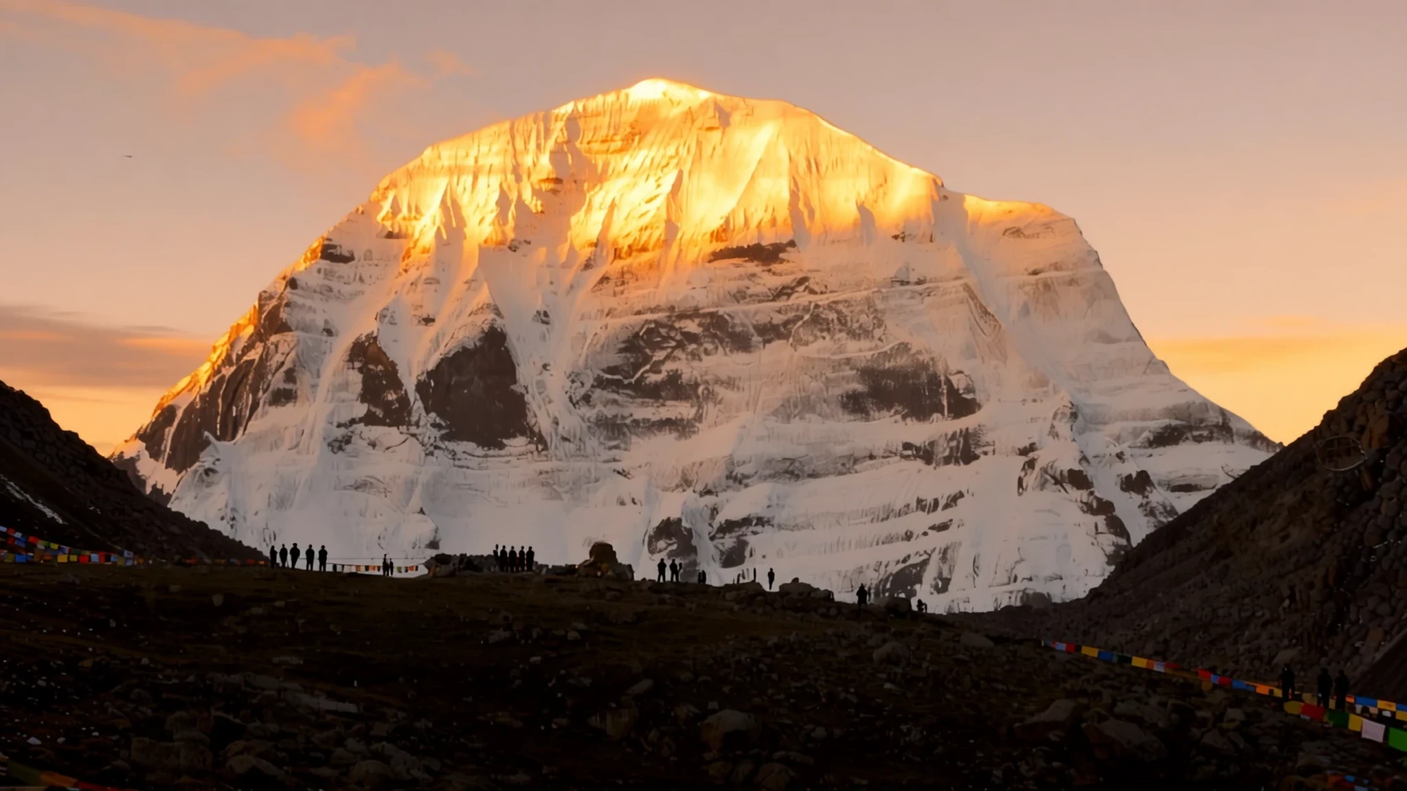
Go for a sacred mountain that four faiths revere, and for the chance to walk the full circuit around its base, weather and altitude permitting.
The place
Mount Kailash rises in Ngari Prefecture in the Tibet Autonomous Region of China, on the western edge of the Tibetan Plateau. Its summit stands at 6,638 metres, part of the Gangdise range, which Tibetans also call the Kailash Range. The peak is striking less for its height than for its shape: a near-symmetrical pyramid that stands out sharply above a high, dry plain. The clear air makes it look closer than it really is.
Four major rivers have their sources within a short distance of the mountain, among them the Indus, the Sutlej and the Brahmaputra, which becomes the Yarlung Tsangpo in Tibet. Two lakes lie nearby. Manasarovar, spread over about 320 square kilometres, is a freshwater lake of intense blue, and Rakshastal is a smaller neighbour. Their shores are where most visitors first see the mountain reflected.
The area is remote even by Tibetan standards. Roads are long and rough, services are basic, and the weather can change within an hour. Independent travel is not permitted, so access depends on licensed agencies. Climbing the peak is banned, and the region is valued mainly as a place to walk around the mountain rather than to scale it.
Many people travel in the warmer months, when the snow thins on the lower slopes and the paths are more open. Expect cold nights even then, and a sun that feels fierce at midday.
Its story
For a very long time Mount Kailash has been a place of pilgrimage. Four religions claim it, and each has its own account of why it matters. In Hindu belief the mountain is the home of Shiva and his consort Parvati, and devotees regard it as the axis of the cosmos. Jains associate it with Rishabhanatha, the first of their teachers, who is said to have reached liberation on its slopes. Tibetan Buddhists tie it to the poet-saint Milarepa, whose contest with a Bon master for the mountain became a well-known legend about which faith held it. The Bon tradition, older than the Buddhist presence in Tibet, treats the peak as a seat of its own sacred power.
The landscape around these stories is a record in its own right. Great ice sheets once covered the region, and the last of them withdrew roughly 10,000 years ago. The rock beneath the summit is layered and folded. Geologists have suggested the peak may be a block of older metamorphic rock resting on granite, a structure that helps explain its sharp, pyramidal profile.
Outsiders came later. Surveyors and explorers mapped the region in the nineteenth and twentieth centuries, and climbers have tried the mountain, though no successful ascent has ever been recorded. The authorities have since banned climbing because of the mountain's religious importance. Today the story of Kailash is told mostly through the walk around it, which pilgrims have made for centuries and which is now the main way most people experience the place.
What to see
- Mount Kailash itself — Ngari Prefecture, Gangdise range
The mountain is visible from many points on the circuit and from the plain to the south. Its north face is steep and clean, while the southern slopes catch more light through the day. Most people judge its size only once they reach the lower slopes, because nothing nearby gives a reliable sense of scale. Keep your distance, since climbing it is forbidden and the summit is not a viewpoint for casual visitors.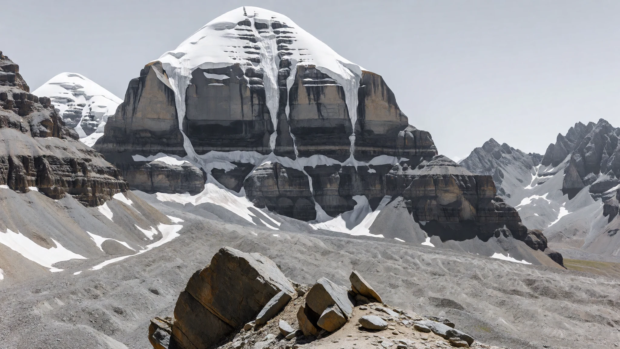
- Darchen — Darchen, the base town below the peak
Darchen is the small base town at the foot of the mountain and the usual starting point for the walk around it. Most accommodation, simple eateries and the main permit checks cluster here. Expect a handful of streets, guesthouses with shared rooms, and a lively feel in the weeks when pilgrims arrive. Stock up on water and snacks before setting out.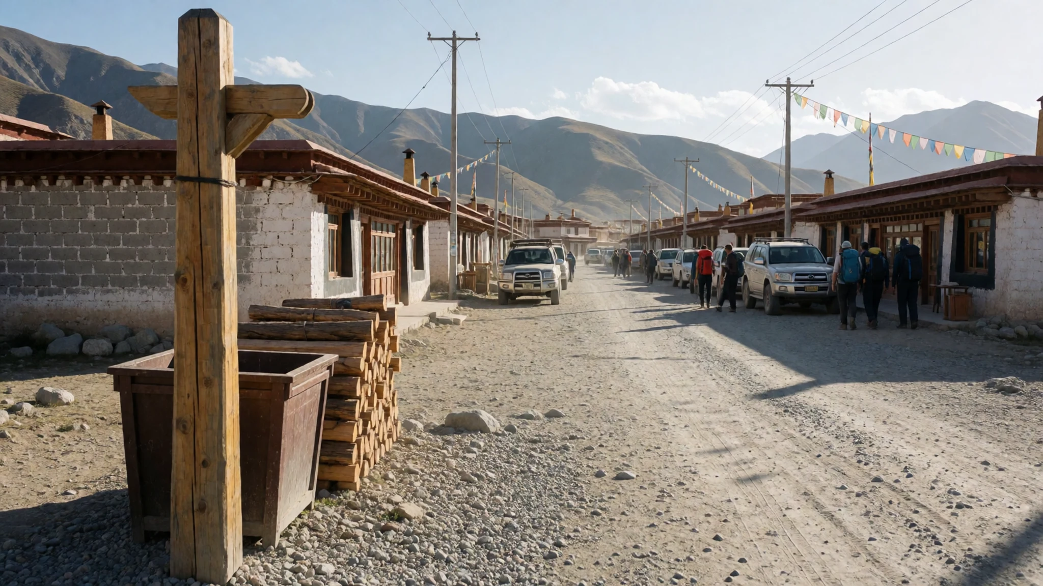
- Lake Manasarovar — Lakeshore, south of the mountain
Manasarovar is the big lake beside the mountain, and its clear surface often mirrors the peak on still mornings. Pilgrims bathe in its water as an act of devotion, though the temperatures are very cold. The lakeshore is also a good place to slow down, watch the light change and respect the modest dress that local custom expects.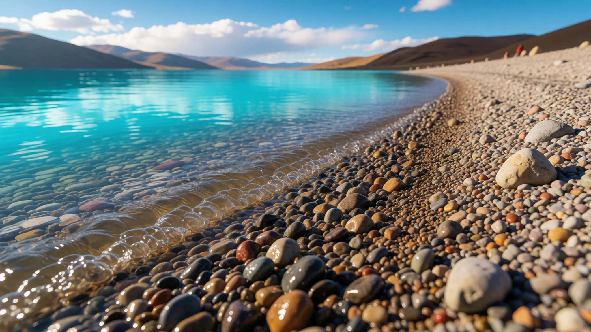
- Dirapuk Monastery — Northern stretch of the kora
Dirapuk sits on the circuit and is one of two monasteries that offer the only fixed lodging along the route. Its dormitory-style rooms are simple, and meals are basic. Visitors are asked to remove their shoes before entering, to avoid touching religious objects and to ask before taking photographs inside.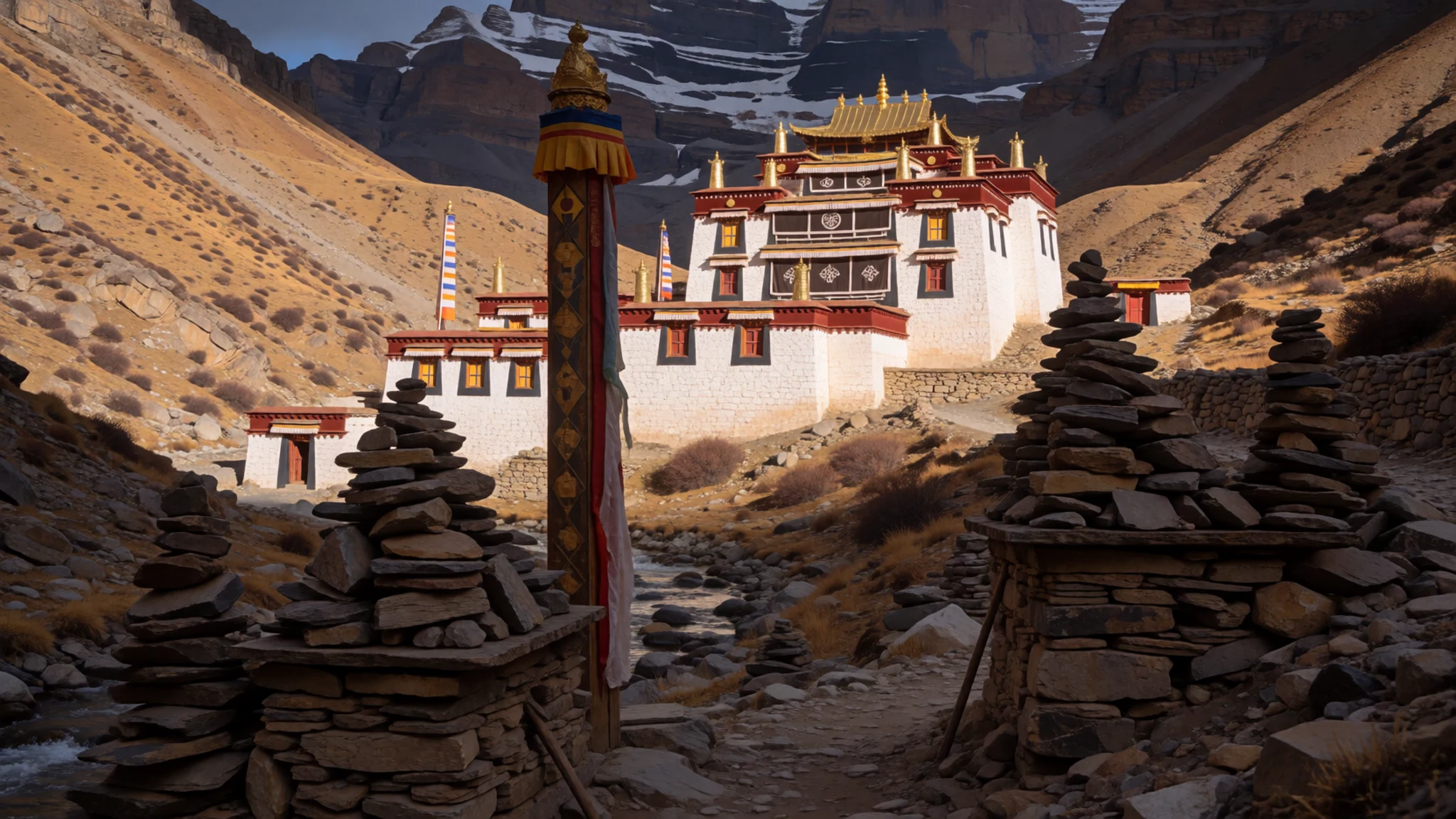
- The kora — Circuit around the mountain
The kora is the devotional walk around the mountain, and it is the reason most people come. Pilgrims move clockwise, stopping at cairns, stone walls covered in carved mani stones and prayer flags. Some make the full circuit by prostrating themselves at every step, which is slow and exhausting. Walk at a steady pace, give way to pilgrims and keep to the path.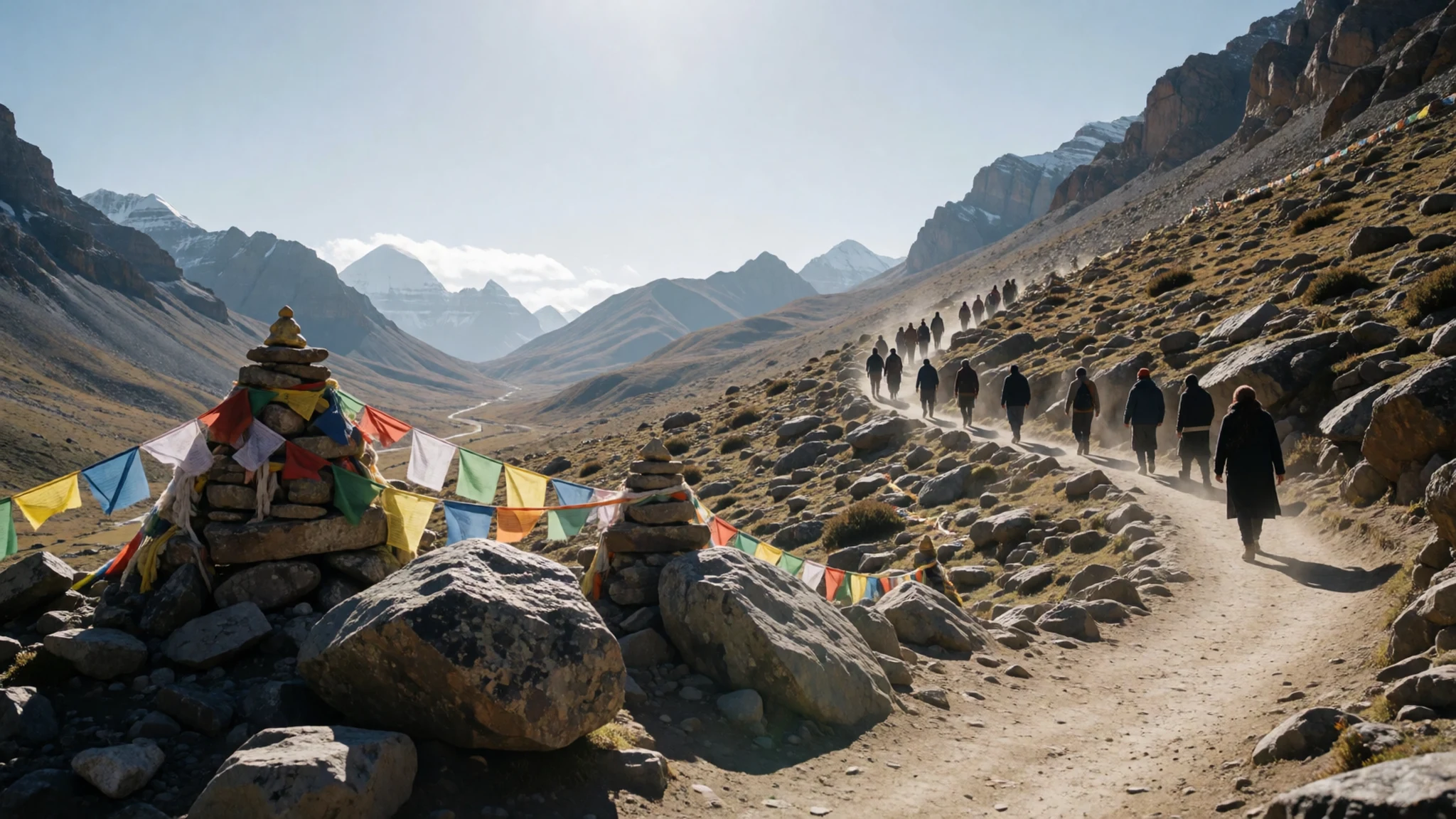
Culture
Mount Kailash is sacred to Bon, Buddhist, Hindu and Jain communities, and the way people behave around it reflects that. Most of the activity you will see is devotional: pilgrims walking the circuit, turning prayer wheels and prostrating themselves full length at intervals along the route. Keep your voice low on the path and give walkers room to pass. Photographing prostrating worshippers without asking is a serious lapse. At the monasteries of Dirapuk and Zutulpuk, step out of your shoes before entering, do not touch altars or sacred objects, and ask before taking pictures inside. Dress modestly, especially around Lake Manasarovar, and follow your guide's instructions at every stage. Climbing the peak is forbidden, so do not talk about attempting it. Leave prayer flags, cairns and offerings exactly where they are, and never pick up stones from the circuit.
What to wear
Traditional dress around Mount Kailash follows the Tibetan pattern. Many men and women wear the chuba, a long robe belted at the waist with a sash, usually made from wool or a heavy woven cloth suited to the plateau's cold. Sleeves are often loose and can be tied at the waist when the day warms. Sheepskin-lined versions and felt-lined boots keep the wearer warm in winter. Women often wear coral and turquoise jewellery, sometimes as heirloom pieces. Pilgrims from other faiths tend to dress as they would at home, adding warm layers over whatever they have brought.
In daily life, people in Darchen and the surrounding area mix the traditional robe with modern down jackets, sports shoes and quilted jackets, especially younger people and traders. The look is practical rather than ceremonial, and the robe appears most often at festivals and religious occasions.
For a visitor, the plateau dictates the wardrobe. Dress in layers you can remove as the sun rises and add back as the wind drops, and pack a windproof outer shell, a warm hat and gloves. Sturdy boots with good grip suit the rocky kora track. Cover shoulders and knees around monasteries and Lake Manasarovar, and carry a scarf against dust and sun.
What to eat
- Noodle soup — Small restaurants and guesthouses in Darchen
Served in small restaurants and guesthouses in Darchen, noodle soup is the most dependable hot meal on offer. The broth is kept simple, with a handful of vegetables and wheat or egg noodles. It is filling after a long day at altitude, and it is easy to find when other options are closed.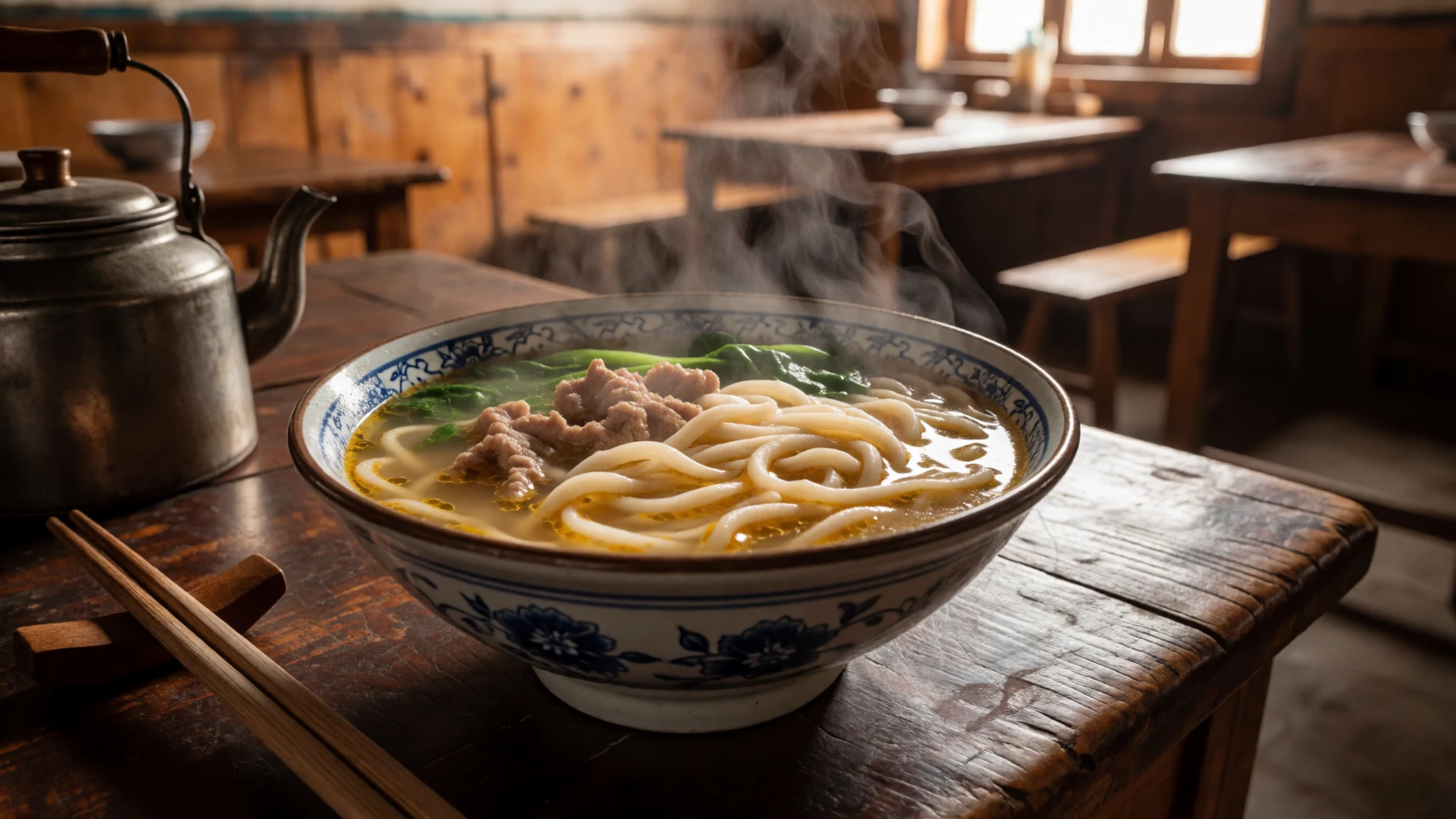
- Momos — Darchen's small eateries and guesthouse kitchens
Steamed dumplings with a minced meat or vegetable filling, served in plates of a dozen or so. They are mild and hot, often dipped in a tomato-based chilli sauce. Momos make an easy lunch between the guesthouse and the trail, and most Darchen eateries keep them on the menu.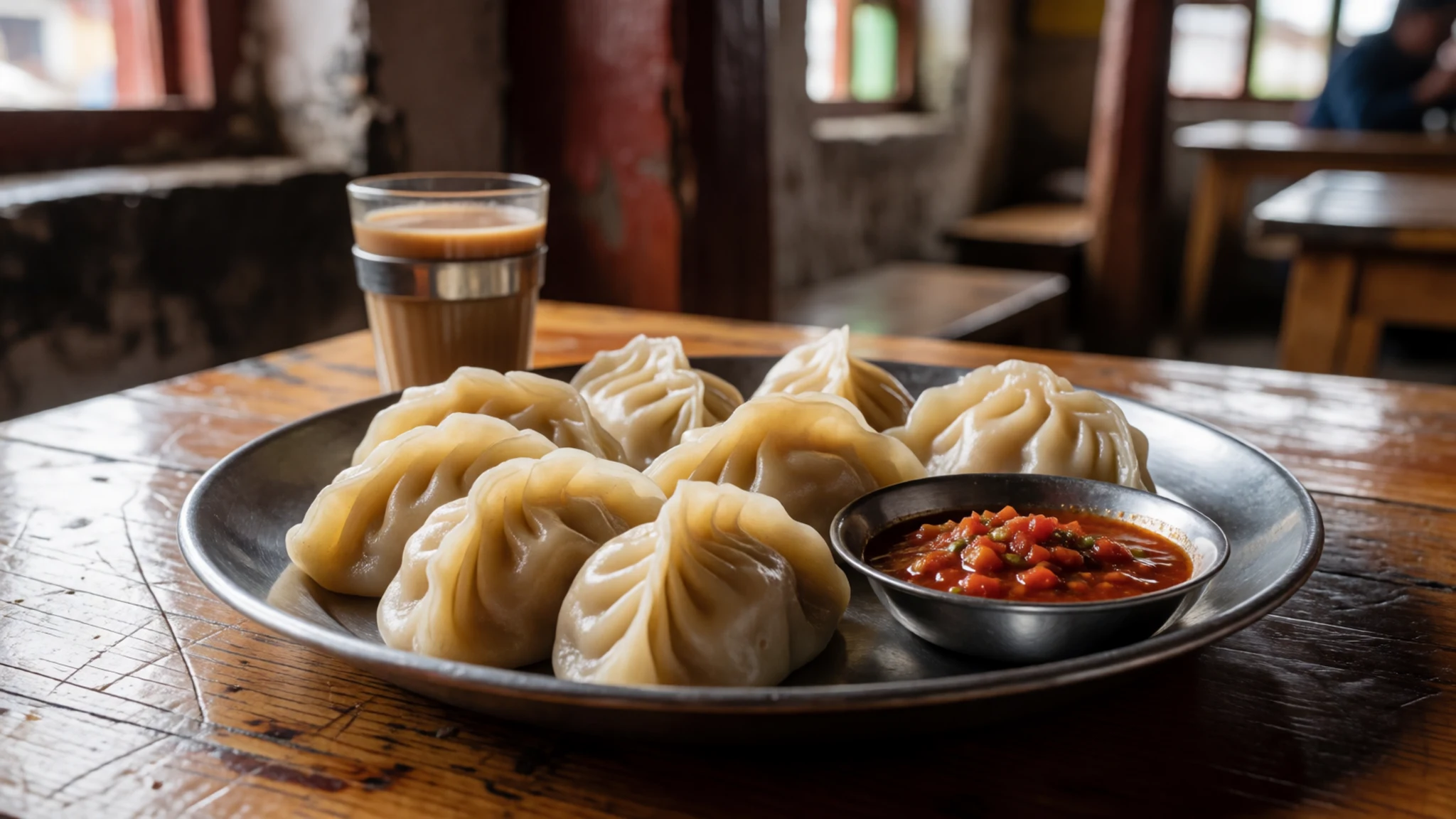
- Butter tea — Guesthouse kitchens in Darchen and at monasteries on the kora
Salty tea churned with yak butter and often milk, the default hot drink across the plateau. It tastes unfamiliar at first, but it is rich and warming, and it helps in the cold. Most lodgings will serve it on request, and locals drink it throughout the day.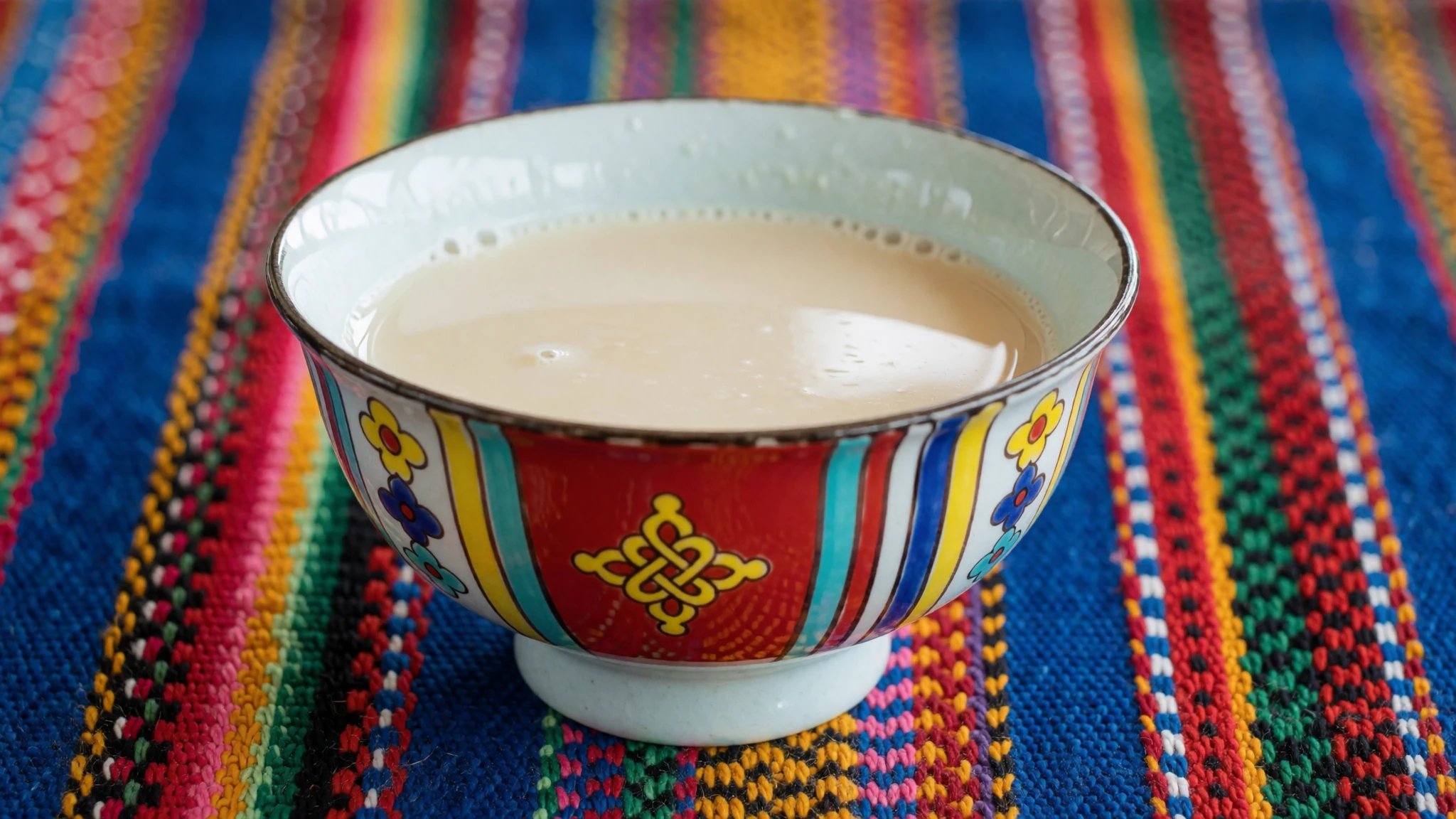
- Monastery meals on the kora — Dirapuk and Zutulpuk monasteries on the kora
Meals at the monastery kitchens on the circuit stay plain, and quantities are modest. Instant noodles, boiled potatoes and thin soup are the usual offer. Pack biscuits, nuts and chocolate for the stretches between stops, because food along the route is limited.
Plan it
Best time. Roughly May to October, when the high routes are more reliably passable and the ground is less frozen. Summer brings more rain and cloud, and the weather changes quickly on the plateau at any time of year, so build spare days into your schedule.
How long. 3–4
Getting there. Lhasa is the usual starting point, followed by a long road journey west to Darchen, which takes several days by hired vehicle. Routes from Kathmandu, Kashgar and Delhi also exist, but each has different permits and transport, and all of them run through a licensed agency.
Budget. high
Tips
- Book through a licensed Tibetan agency well ahead, since permits take time to arrange
- Spend a few days at lower altitude in Lhasa or Gyirong before going west
- Walk slowly, drink plenty of water and carry purification tablets or a filter
- Pack warm layers and a windproof shell, because the weather turns quickly
- Carry snacks, since food stops along the route are few
Etiquette
- Remove your shoes before entering monasteries
- Do not photograph prostrating pilgrims without asking
- Leave prayer flags, cairns and offerings untouched
Nearby
Sources
- Wikidata Q229107 (CC0)
- Wikipedia: Mount Kailash (rev 1376804607) (CC BY-SA 4.0)
- Wikivoyage: Mount Kailash (rev 5403051) (CC BY-SA 4.0)
- Photo 01-kailash-barkha.jpg, Jean-Marie Hullot (CC BY-SA 4.0)
- Photo 02-kailash-north.jpg, Ondřej Žváček (CC BY 3.0)
- Photo 03-mt-kailash-sat.jpg, Moumine (CC BY 3.0)
- Photo 04-hindukailash.jpg, unknown author (Public domain)
- Photo 05-kailashmani.jpg, Jean-Marie Hullot (CC BY-SA 4.0)
- Photo 06-yaks-kailash-manasarovar.jpg, Jean-Marie Hullot (CC BY-SA 4.0)
- Photo 07-kailashkoraprosternation.jpg, Jean-Marie Hullot (CC BY-SA 4.0)
- Photo 08-der-jesuiten-atlas (Jesuit-Kangxi atlas, LOC 74650033-15) (Public domain)


