Mount Elgon
Mount Elgon, Uganda
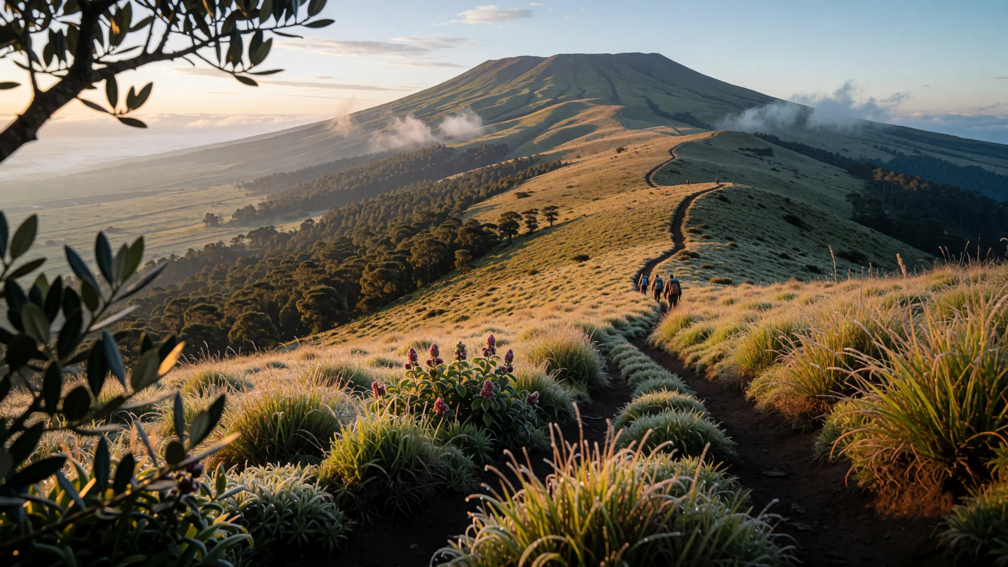
A broad, old volcano on the Uganda–Kenya border, where forest gives way to moorland and the walking is quiet.
The place
Mount Elgon rises on the frontier between Uganda and Kenya, with Kisumu lying to its south, Mbale to its west and Kitale to its east. Its highest point, Wagagai, sits wholly inside Uganda, so the summit route is a Ugandan one, even though plenty of walkers arrive from the Kenyan side. The mountain is a shield volcano, which means its slopes spread out broadly and gently rather than rising into a sharp cone, and the outline is easy to read from the plains below. It has been dormant for so long that no reliable record of its first eruptions survives, but geologists estimate it is at least 24 million years old, which places it ahead of every other extinct volcano so far identified in East Africa. Its long, quiet bulk gives a mix of habitats: forest on the lower and middle slopes, open heath and moorland higher up, and farmland pressing up from the bottom. The name comes from Maasai, Ol Doinyo Ilgoon, meaning Breast Mountain, a description that makes sense once you have seen the rounded profile from a distance. Because the mountain sits on a national border, trails, huts and permits are handled differently on each side, so check the rules for the route you choose before you set out.
Its story
Mount Elgon's story is written mostly in rock, and the rock tells of a volcano that once fired often before its activity faded for good. Geologists cannot date its first eruptions with confidence because the earliest traces have been worn away, yet the best estimate places its origins at least 24 million years back. Over that immense stretch, rain and rivers have cut deep valleys into the flanks, and those valleys now carry streams that swell hard after storms. The Kuywa River, fed from the mountain, has overflowed in past floods and left a deep, eroded channel across the land below, a reminder that the mountain still shapes the country around it. People have farmed its fertile lower slopes and grazed animals on the open heights for generations, and the land carries the marks of that long use. The name adds another layer. The Maasai call it Ol Doinyo Ilgoon, Breast Mountain, and that description still fits its softly rounded outline. Today the mountain's history is also a border story: one massif shared by two countries, each with its own maps, park rules and approach roads, yet one mountain whose water and weather do not stop at the frontier.
What to see
- Wagagai summit — Uganda side of the massif
Wagagai, the highest point of Mount Elgon, lies entirely within Uganda, so the summit is reached from the Ugandan side. The climb is a long day on foot through changing vegetation, and the final stretch is steep and exposed, so take warm layers and plenty of water. Start early, because cloud often builds over the top through the afternoon, and a clear morning gives the widest view across the slopes below.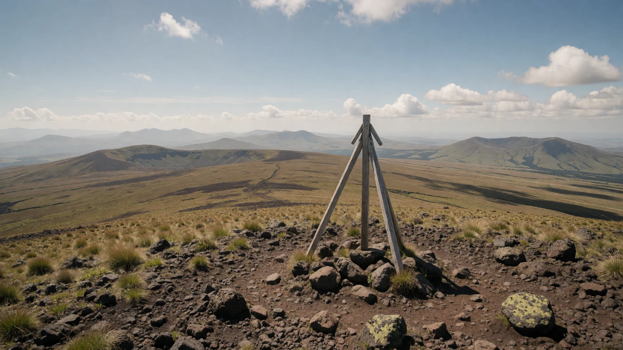
- Lower slopes near Kimilili — Kenyan side, Kimilili approach
The approach from Kimilili, on the Kenyan side, climbs through farmland before the forest begins. The Old Elgon Hut, which burned down in 1975, once stood on this route and still gives the walk a sense of how the mountain has been used. Look back from the lower slopes for the view across the lower massif and the hills around it, and expect muddy paths after rain.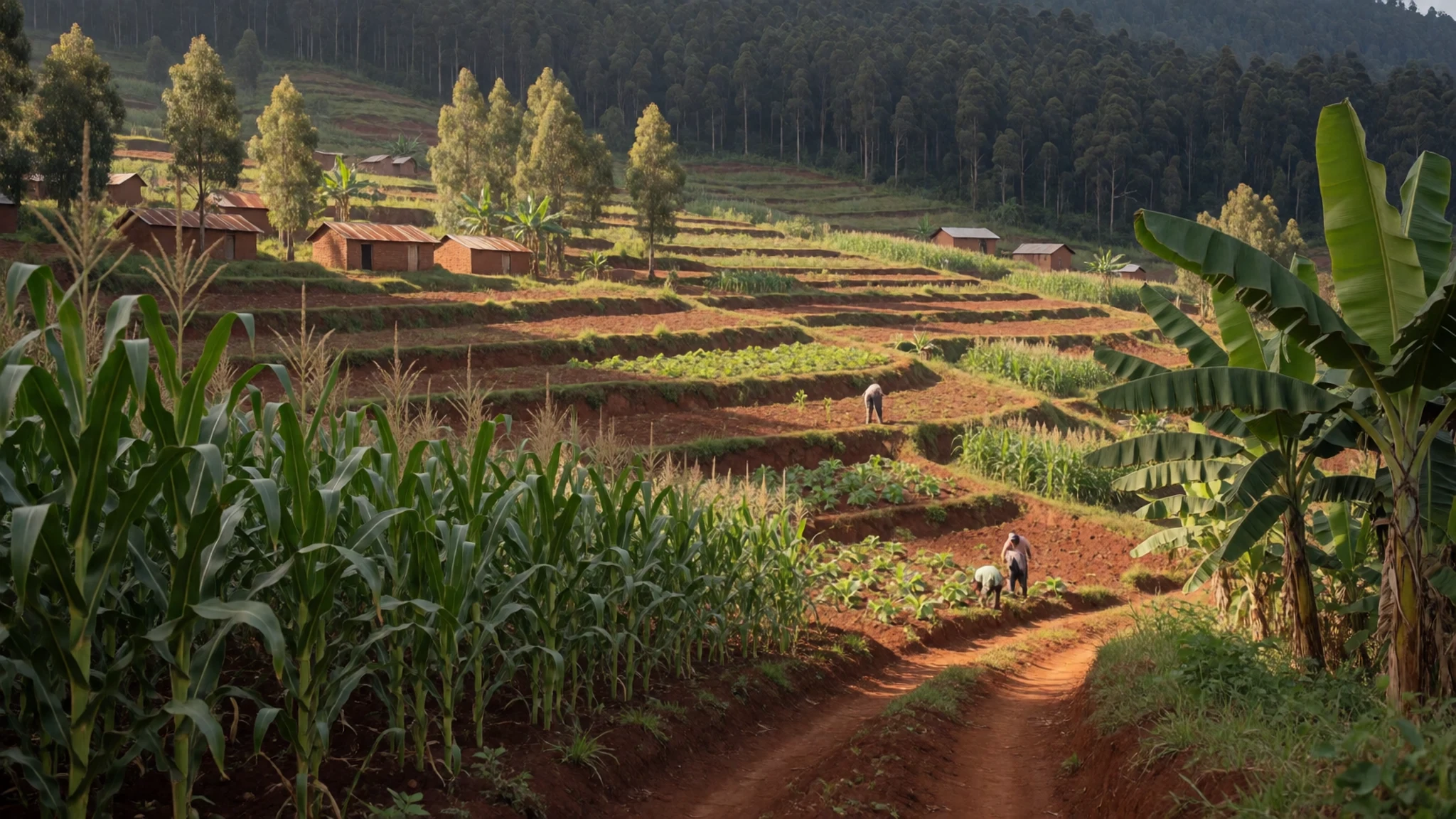
- Trail flora — Forest and upper trails, either side
The trails pass through a sequence of plant zones, so the walk itself shows you how the mountain changes with height. Moss-draped trees and ferns give way to lower, tougher plants nearer the top. Wear sturdy boots, since the path can be slick, and take a local guide if you plan to leave the marked routes.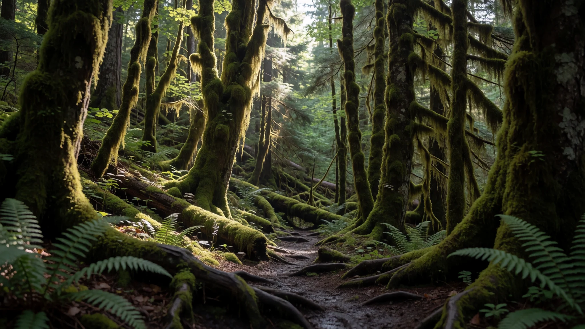
- View north towards Karamojo — Upper ridges, looking north
From higher ground, the view north stretches towards Karamojo, a dry, open region that feels very different from the wet slopes at your back. Thunderstorms often build over the plains in the afternoon and sweep up the flanks, so plan your descent before cloud arrives. Bring a waterproof layer and keep an eye on the sky from the ridges.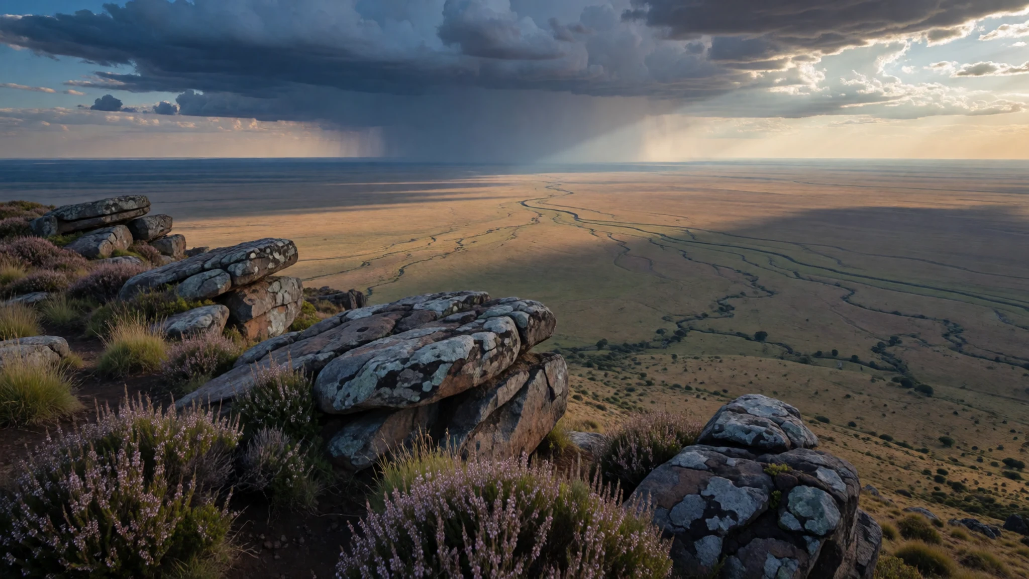
- The Kuywa River valley — Bungoma West, lower slopes
The Kuywa River, fed from the mountain, has overflowed in past floods and carved a deep, dug-out stream through the land below. Stay out of the channel after heavy rain, when water rises quickly and the banks can give way. The valley is best seen from the road, with the slopes rising behind it, and it shows clearly how the mountain's water shapes the farmland of the lower slopes.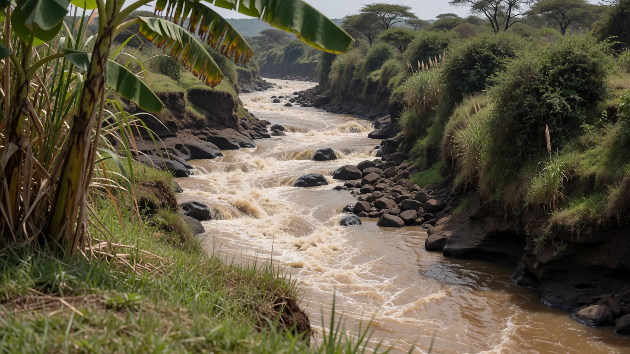
Culture
Life around Mount Elgon is shaped by farming communities on both sides of the border, and by the national rules that apply on each side. In Kenya, Christianity is widespread and daily dress is fairly relaxed, but in rural areas and near Muslim-influenced towns modest clothing is expected, and short dresses can draw unwanted attention. Visitors are generally met with warmth and curiosity. Hospitality matters: if you are invited into a home, bring a small gift suited to the occasion and accept tea or food graciously. Public affection is frowned upon, so keep it low-key. Photography needs care. Do not photograph police stations, banks, military sites or other public facilities, which are often off-limits. Ask before photographing anyone, and lower the camera if someone declines.
What to wear
Traditional dress around Mount Elgon belongs mainly to the Sabiny and Bagisu communities of the slopes, and to the pastoral Maasai whose name the mountain carries. Maasai dress is best known for the red shuka, a wrapped cloth, worn with bold beadwork in collars, earrings and belts, with colours often arranged in patterns that carry meaning. Sabiny and Bagisu styles use traditional cloth and beadwork in ways that vary between families and occasions, and they are worn most at ceremonies and festivals rather than every day. Today most people on the mountain wear Western-style clothes: shirts, skirts, trousers, school uniforms and work clothes, with a headwrap or a jacket added in cold weather. For yourself, dress for altitude and weather rather than for style. Mornings and high ground are cold and wet, so bring a warm layer, a waterproof jacket and quick-drying trousers. Choose sturdy boots with good grip, because trails turn to mud. Cover shoulders and knees in villages and near churches or mosques, and carry a light scarf for those moments. Shorts are fine on the trail but not in town.
What to eat
- Ugali with sukuma wiki — The morning market in the towns below the mountain
Ugali is a firm maize porridge, shaped by hand into portions and eaten with the fingers. It is usually served with sukuma wiki, a leafy green cooked with onion and tomato, which you use to scoop up the ugali.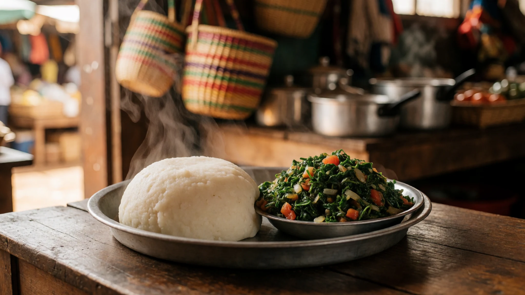
- Nyama choma — Roadside grills in the market towns
Nyama choma is grilled meat, usually goat or beef, cooked over charcoal and served with salt, sliced onion and a chilli sauce. The meat is often sold by the piece as it comes off the fire, so you can choose your portion.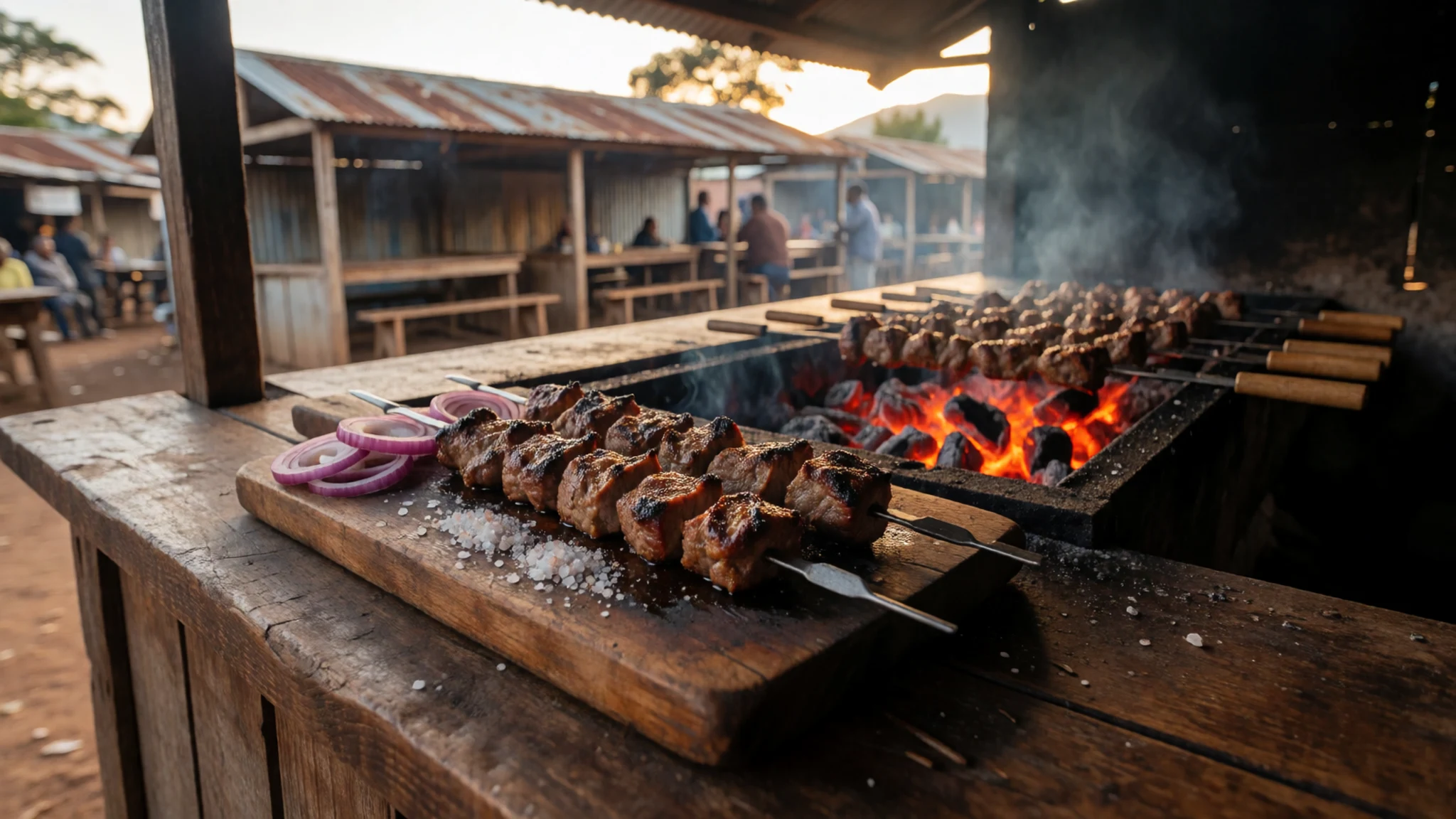
- Samosas — Street stalls and snack counters along the main roads
Samosas are deep-fried triangles of pastry filled with spiced meat or vegetables. They are sold hot from street stalls and small snack counters, and make an easy mid-morning bite on the way up or down the mountain. - Chapati with stew — A small eatery in town or the morning market
Chapati is a soft, layered flatbread cooked on a flat pan and often served with a thin stew of beans, meat or vegetables. Cooks make it to order, so it arrives warm, and the stew is ladled from a large pot. - Biryani — Muslim-run eateries in the larger towns
Biryani is a spiced rice dish layered with meat or vegetables and cooked slowly with herbs. It makes a proper sit-down lunch after a long morning on the trail. Order early, since the pots can run out by mid-afternoon.
Plan it
Best time. The drier spells, roughly January–February and June–July, give the clearest views and the easiest trails. The wetter months bring rain and slippery paths, and cloud often hides the top in the afternoon.
How long. 3–4
Getting there. Entebbe International Airport serves the Ugandan side and Jomo Kenyatta International Airport in Nairobi serves Kenya. From either, reach Mbale or Kitale by road, then arrange transport to the mountain.
Budget. mid
Tips
- Book a local guide or a reputable operator for the summit and for any walk beyond the marked trails
- Start walking early, since cloud often builds over the peak in the afternoon
- Carry cash in small notes for guides, park fees and village purchases, and check card acceptance before you go
- Take warm layers, rain gear and plenty of water, because the upper slopes are cold and exposed
- Acclimatise slowly if you are coming from low ground, and tell someone your route
- Check current park rules and fees on the official site for the route you plan to take
Etiquette
- Ask before photographing people, and respect a refusal
- Do not photograph police stations, banks, military sites or other public facilities
- Dress modestly in villages and near places of worship
- Bring a small gift if you are invited into a home
- Keep displays of affection low-key in public
Nearby
Sources
- Wikidata Q732838 (CC0)
- Wikipedia, Mount Elgon (rev 1369556098) (CC BY-SA 4.0)
- Wikivoyage, Kenya (rev 5408770) (CC BY-SA 4.0)
- Photo 01-mount-elgon-topo.jpg (Public domain)
- Photo 02-mount-elgon-1.jpg (CC BY-SA 2.0)
- Photo 03-a-dugged-stream.jpg (CC BY-SA 4.0)
- Photo 04-a-view-north-from-elgon-towards-karamojo-thunderstorm-sweepi.jpg (Public domain)
- Photo 05-african-hills.jpg (CC BY-SA 4.0)
- Photo 06-elgon-hut-1.jpg (CC BY-SA 4.0)
- Photo 07-iss030-e-117263-view-of-kenya.jpg (Public domain)
- Photo 08-iss030-e-35467-view-of-kenya.jpg (Public domain)


