Mount Aspiring National Park
Mount Aspiring National Park, New Zealand
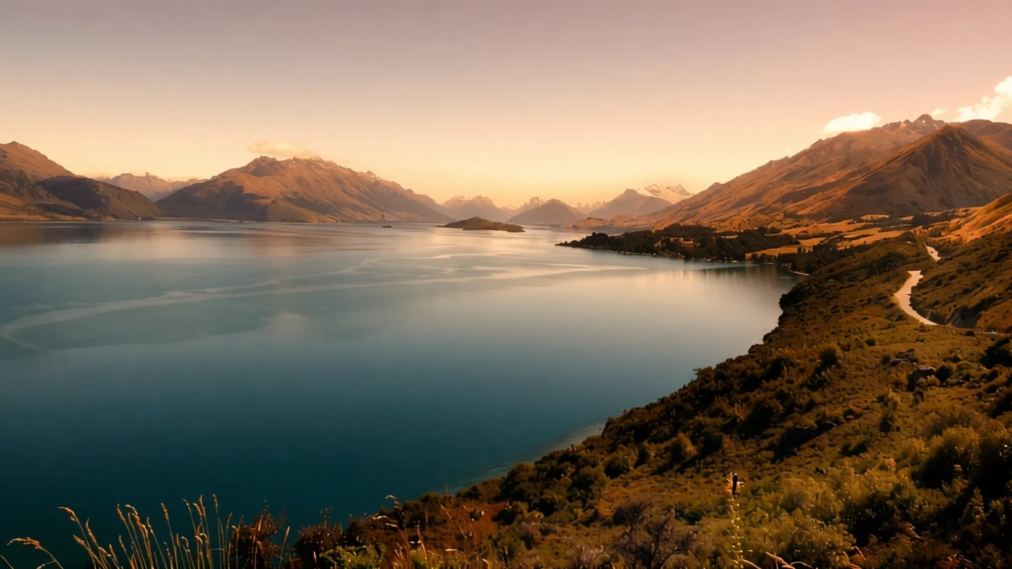
Mount Aspiring National Park is the glacier-carved heart of the Southern Alps, with serious walks and a wild, lightly touched landscape.
The place
Mount Aspiring National Park sits at the southern end of the Southern Alps on New Zealand's South Island, directly west of Lake Wānaka. It takes its name from Mount Aspiring, known in Māori as Tititea, the park's highest peak and the highest mountain in New Zealand outside Aoraki / Mount Cook National Park. The park is part of the Te Wahipounamu World Heritage Area in the south-west of the South Island.
The park spreads across the West Coast, Otago and Southland regions, so the same range looks quite different depending on which road you take in. Other high summits include Mount Pollux and Mount Brewster, and the ranges still carry a large number of glaciers. Their work shaped the valleys. The U-shaped, steep-sided trenches that run through the park are the legacy of ice that once filled them during an ice age.
Most people come for walking, tramping and mountaineering. The lower valleys hold forest and river flats, while higher ground opens into tussock, rock and snow. The Haast Pass, one of the principal road routes over the Southern Alps, cuts through the north-eastern corner of the park. Even so, none of the roads run deep into the wild interior, so the walks take real effort.
Weather changes quickly. Temperatures can fall below freezing even in the warmer months, and cloud can close in within hours. Conditions in the hills are usually cooler and wetter than the valley floor suggests.
Its story
Mount Aspiring National Park was established in 1964 and has been shaped as much by argument as by ice. Its boundaries have grown to take in private land, and its management has been tested by proposals that would have cut through it.
The most debated scheme was a plan to build a bus tunnel from the Routeburn Road towards the Hollyford Valley, so coaches could reach Milford Sound faster than the long road from Queenstown allowed. The company behind it asked the Department of Conservation to amend the park's management plan. The New Zealand Conservation Authority declined, judging that the road would add little to people's enjoyment of the park and that construction and traffic would do more harm than good. Later the department gave approval in principle, but a conservation minister rejected the idea, judging it out of place in a World Heritage Area.
Land has also been added. A conservation fund bought private property in the Landsborough River valley and folded it into the park, extending its reach into country that had been farmed.
Then came the question of minerals. A government indicated that parts of the park, especially western ground around the Red Hill Range and some north-eastern areas, might be removed and mined. Proposals like this are why the park's boundaries matter to the people who walk, climb and care for it.
What to see
- Blue Pools — Haast Highway corridor
One of the South Island's most serene natural pools, and the park's main draw for many visitors. The track is short and mostly easy, and the water is clear enough to make the walk worthwhile. Arriving earlier in the day helps, because the pools attract photographers and families and the car park fills quickly.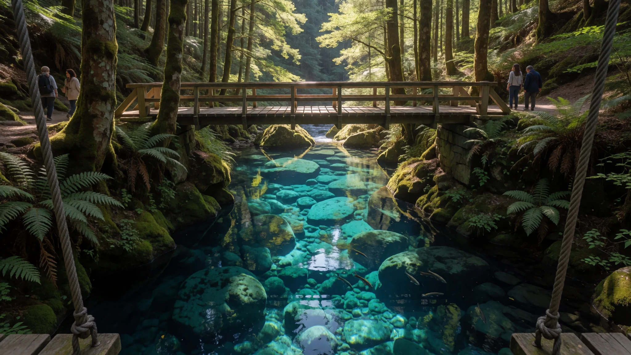
- Cameron Lookout — Haast Highway corridor
A short but fairly steep walk to a small lookout with views over Cameron Creek. The climb gains real height for such a brief route, so sturdy footwear and an unhurried pace make sense. The view repays the effort, especially in clear weather, when the valley below looks its best.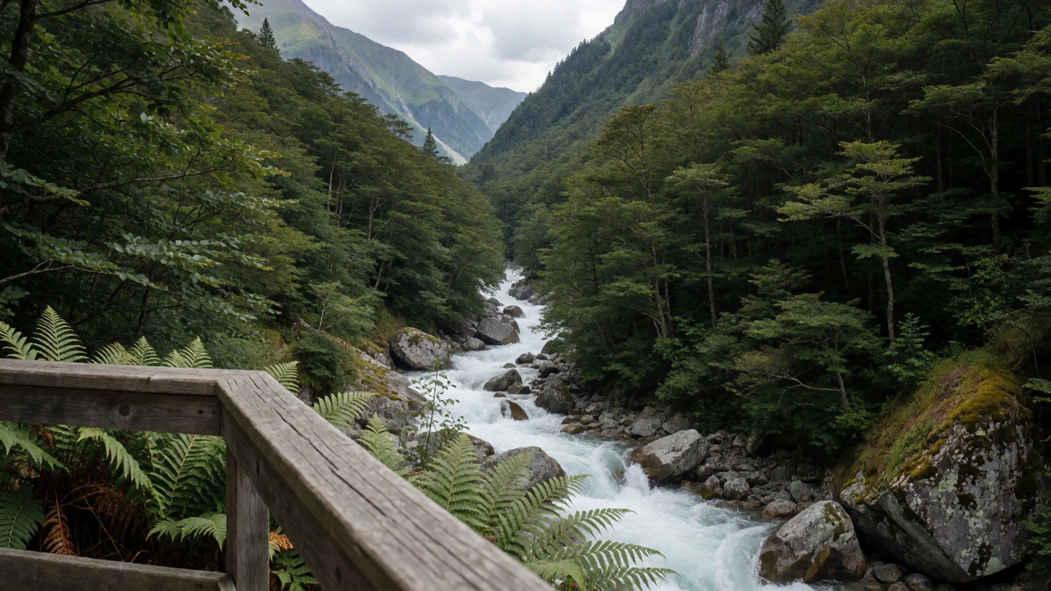
- Haast Pass Lookout — Haast Pass, on State Highway 6
Marks the border between Otago and the West Coast at the top of the Haast Pass. The climb is a sustained pull up through forest, and the lookout offers the widest views of the surrounding ranges. It is a good place to stop and take in the drop of the valleys on either side.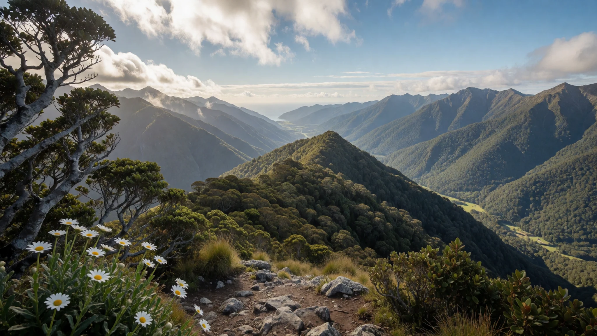
- Fantail Falls — Haast Highway corridor
A small but striking waterfall, reached by a good boardwalk from the car park. The path is level and easy for most walkers. Those who want to get closer can cross the stream, which is shallow here, but check the water first after rain because the river can rise quickly.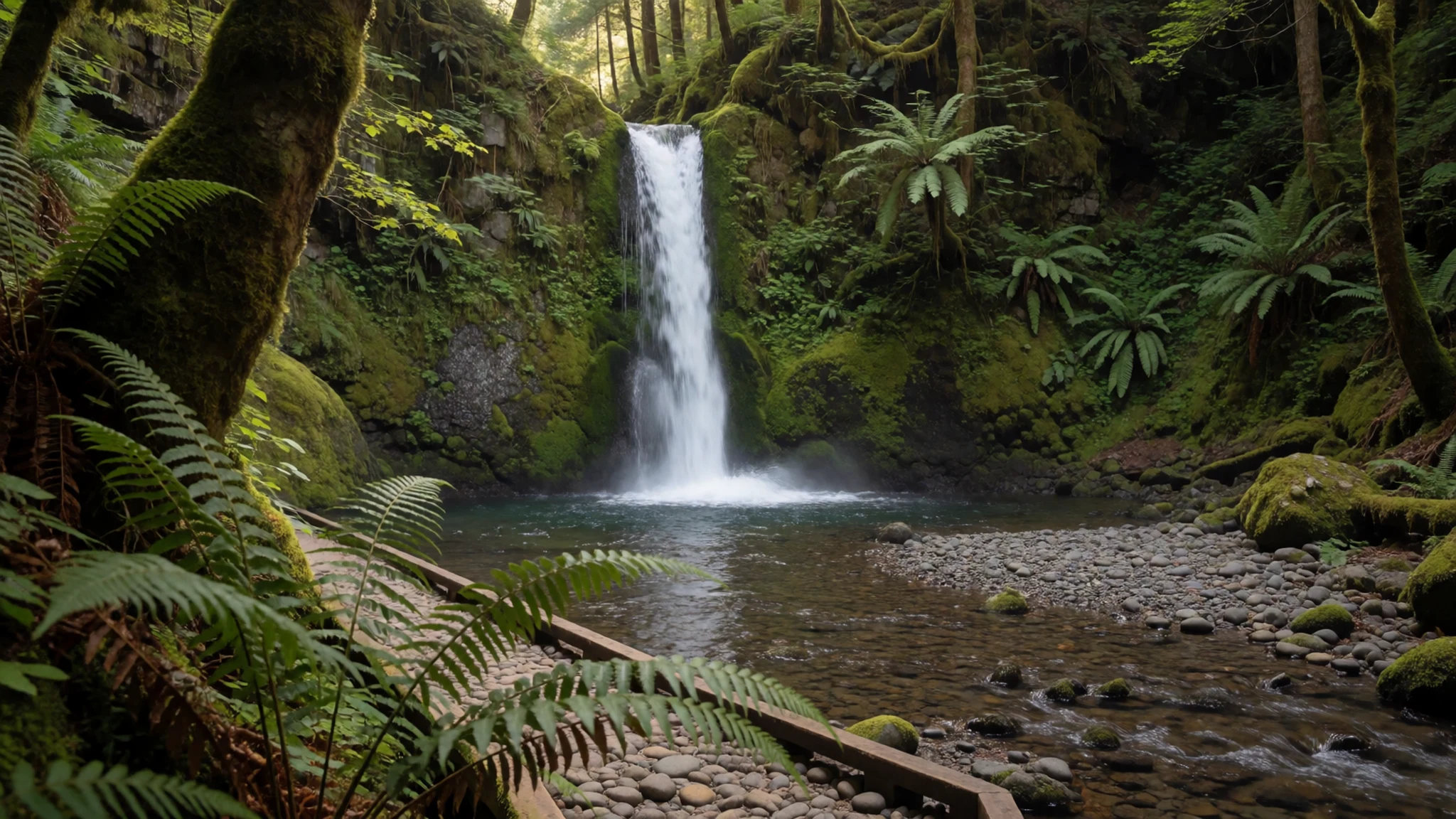
- Thunder Creek Falls — western approach to Haast Pass
A tall waterfall dropping over beech forest. On paper it sounds modest, but it is a striking sight in person. The track to it is a short return walk, and the spray and sound of the falls carry well through the trees.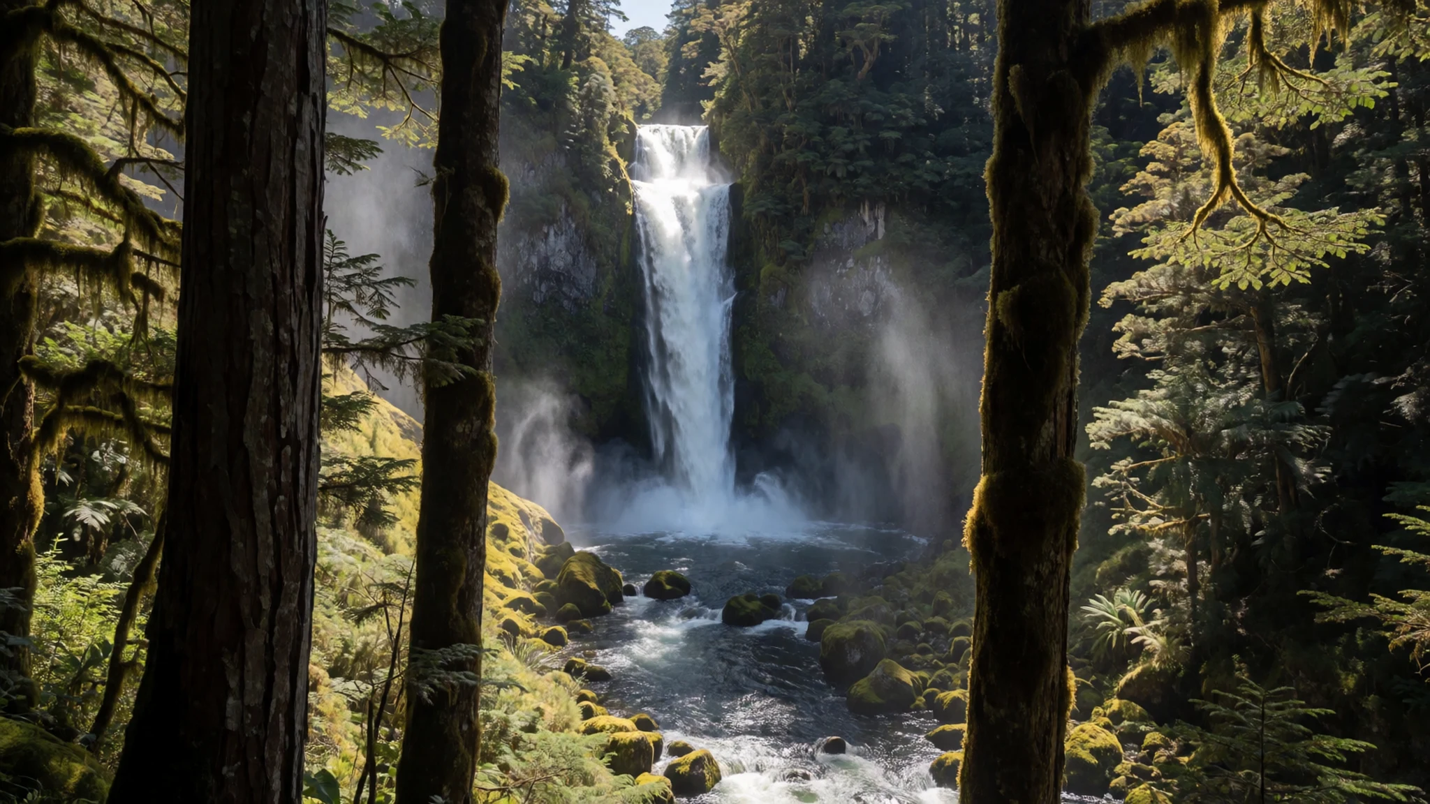
- Gates of Haast — Haast River crossing, State Highway 6
A gorge where the highway crosses the Haast River on a bridge set against a dramatic backdrop. There is no parking at the site, so stop only where it is safe and legal, and take care on the narrow road. Photographs from the bridge give a good sense of the scale of the river.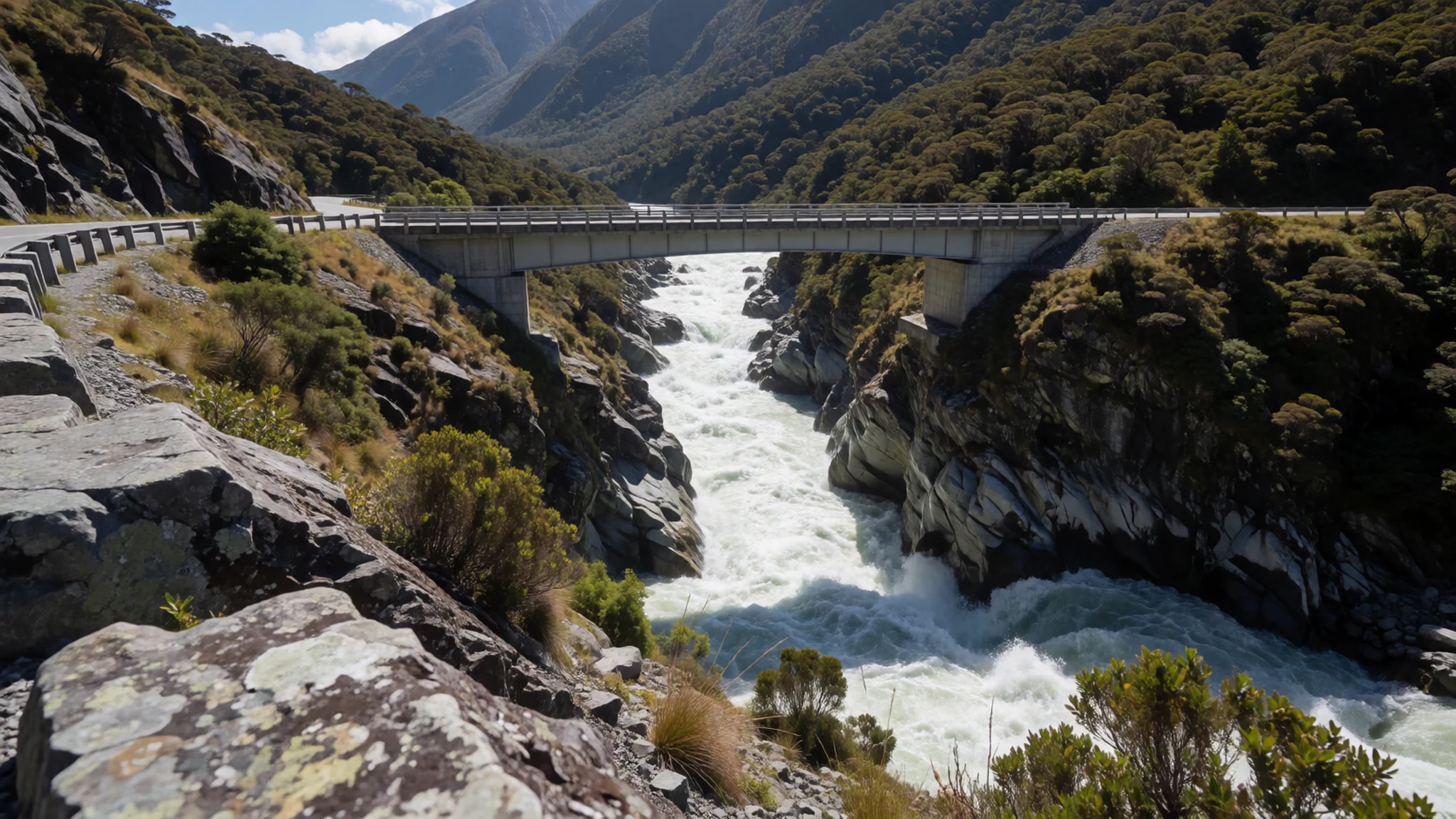
Culture
Mount Aspiring National Park is a place where the land carries meaning for Māori, and the name Tititea sits alongside Mount Aspiring on maps and signs. Ngāi Tahu, the iwi whose tribal territory covers much of the South Island, has long ties to the region's mountains, rivers and lakes, and many place names reflect that history. Treating the names with care, and using them where they appear, is a simple sign of respect.
The park is also a conservation estate, managed by the Department of Conservation under rules that set what may be built, cut or taken. Walkers share it with alpine plants, birds and fragile ground that recovers slowly after damage. Huts are often shared, so people tend to keep voices low after dark and make room for others on the bunks.
In the lodges and campsites near the park, conversation is relaxed and people are happy to share advice on routes and weather. Visitors who ask about conditions are often given the most useful answers. Leave gates as you find them and take all rubbish out, because the tracks and huts depend on every walker doing exactly that.
What to wear
Mount Aspiring National Park lies within a landscape that Māori have known for centuries, and traditional dress there is best understood through the kākahu, the feathered or woven cloak worn for ceremony. Traditional cloaks were woven from harakeke, New Zealand flax, with the fibre prepared by hand and borders often dyed and decorated. Dress like this belonged to important occasions rather than daily walking, and the weaving remains a living art across the country.
What people wear now is practical. Walkers and climbers in Wānaka, Glenorchy and Haast favour layers: merino base layers, fleece mid-layers and a waterproof shell. Gaiters are common for the tussock and wet ground, and gloves and warm hats appear even in summer. Town wear is relaxed, and no formal dress is expected at cafés, pubs or lodges.
A visitor should dress for the terrain and the temperature. Pack a rain jacket, warm layers and a hat, since temperatures regularly drop below freezing, and bring sun protection because the high country sun is strong. Sturdy, grippy boots suit the steep tracks and river crossings. Shorts are fine in the valley on a warm day, but the hills need more cover.
What to eat
- Meat pie — bakeries in Wānaka and small cafés in Haast
A savoury pie of minced meat and gravy in a golden pastry shell, eaten hot and often straight from the paper bag. It is a staple of New Zealand bakeries and an easy fuel for a long drive or a morning on the track. Pick one up before leaving a town, since there are few shops once you are out in the hills.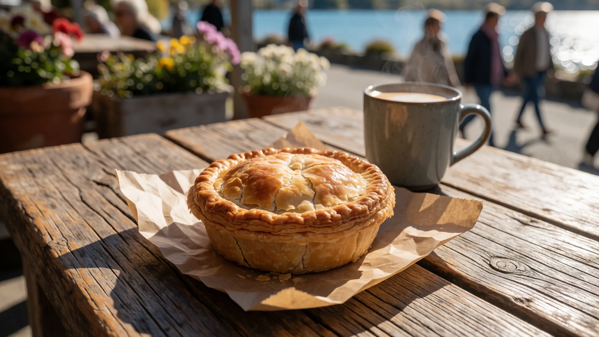
- Whitebait fritters — lakeside cafés in Wānaka, in season
Tiny native fish folded into a light egg batter and fried into thin, lacy pancakes. The fish run is seasonal, so availability changes through the year, and the fritters are best eaten within minutes of frying. Look for them on café menus near the lakeside in Wānaka when the season is on.
- South Island lamb — country pubs and restaurants in Wānaka and Glenorchy
Roast or grilled lamb is common on pub and restaurant menus across the South Island, often served with mint sauce, roasted vegetables and gravy. It makes a satisfying meal after a cold day in the hills. Country pubs in Wānaka and Glenorchy are a reliable choice for it. - Pavlova — cafés and bakery counters in Wānaka
A meringue base with a crisp outside and a soft centre, topped with cream and fresh fruit. New Zealand and Australia both claim it, so ask locals for their view over a slice. It appears on dessert menus and in the cabinets of bakeries across the region. - Hokey pokey ice cream — dairies in small settlements and ice cream parlours on the Wānaka waterfront
Vanilla ice cream studded with crunchy honeycomb toffee, a classic New Zealand flavour. It is sold in dairies, ice cream parlours and roadside stops, and it is a good treat after a long walk. Ask at a dairy in a small settlement, since the flavour is often on the counter.
Plan it
Best time. The warmer months from November to April suit the walks best, though temperatures regularly drop below freezing in every season. Winter brings snow to the high ground and shorter days, which suits experienced mountaineers rather than casual walkers.
How long. two to three days
Getting there. Queenstown Airport is the nearest airport with regular flights. The usual route is by car to Wānaka, then the Wānaka-Mount Aspiring Road, which is unsealed for much of its length and suits off-road vehicles or cars built for long gravel stretches. The Haast Highway is fully sealed and runs through the park from Haast or Wānaka.
Budget. mid
Tips
- Fill the fuel tank before leaving any settlement, because services are sparse along the highways.
- Check road and weather conditions before heading out, since gravel sections can be difficult after rain.
- Book accommodation in Wānaka well ahead of the summer season, as its lodging offers the most variety.
- Start walks early to make the most of calmer morning weather and a longer day on the track.
- Carry warm layers and waterproofs even on sunny days, and bring food and water for a full day out.
Etiquette
- Stay on marked tracks and keep to the rules of the huts and campsites.
- Leave gates and natural features as you find them.
- Keep noise low in huts and pack out all rubbish.
Nearby
Sources
- Wikidata Q1070905 (CC0)
- Wikipedia: Mount Aspiring National Park (CC BY-SA 4.0)
- Wikivoyage: Mount Aspiring National Park (CC BY-SA 4.0)
- Matukituki valley (photo) (Public domain)
- Mt Aspiring Visitor Centre (photo) (CC BY-SA 4.0)
- Lake Wanaka (photo) (CC BY-SA 4.0)
- Mount Aspiring across Lake Wanaka (photo) (CC BY-SA 4.0)
- Mount Aspiring National Park (photo) (CC BY-SA 4.0)
- Forested valley (photo) (CC BY 2.5)
- Haast Pass (photo) (CC BY 3.0)
- Mount Aspiring National Park, South Island (photo) (CC BY 2.5)


