Mount Ararat
Mount Ararat, Turkey
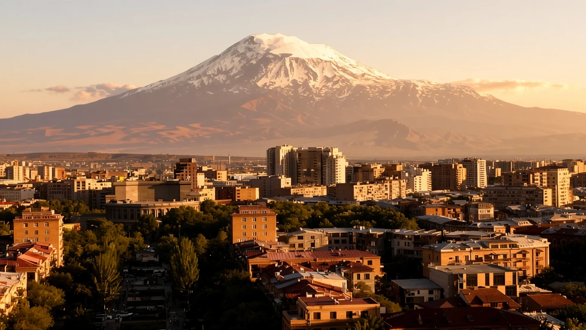
A snow-capped, dormant volcano on the Turkey–Armenia–Iran border, and the highest peak in Turkey, visible for miles across the plains.
The place
Mount Ararat, known in Turkey as Ağrı Dağı, is a snow-capped, dormant compound volcano in the far east of the country. Its massif has two main cones. Greater Ararat rises to 5,137 m and is the highest peak in Turkey, while Little Ararat is a lower neighbour at 3,896 m. The two are separated by the Serdarbulak lava plateau, which sits at about 2,600 m. The mountain rises from a broad base roughly 35 km across, in the Eastern Anatolia region between the provinces of Ağrı and Iğdır. Its slopes lie near the meeting point of Turkey, Iran, Armenia and the Nakhchivan exclave of Azerbaijan, between the Aras and Murat rivers. The Ararat plain stretches along the northwest side toward Armenia, and the summit sits west of the Turkey–Iran border and south of the Turkey–Armenia border. Most of the land around the mountain is farmland and grazing, and the nearest town on the Turkish side is Doğubayazıt. From Yerevan, the Armenian capital, the peak is a white cone that dominates the southern horizon. Its snow cover is a striking part of the view from both countries, and the summit can be hidden by cloud for much of a day.
Its story
Efforts to reach the summit of Mount Ararat are recorded from the Middle Ages, but the first documented ascent came in 1829, when Friedrich Parrot, Khachatur Abovian and four others reached the top. Europeans had been calling the mountain Ararat since the Middle Ages, linking it with the mountains named in the Bible as the place where Noah's Ark came to rest. That link has stayed with the peak ever since. Armenians have long regarded the mountain as sacred, and it appears often in Armenian literature and art. It lies outside the borders of modern Armenia, yet it is the country's principal national symbol and sits on its coat of arms beside the ark. Jean Chardin's 1686 engraving shows the mountain with the ark above and a church at its foot, an image that shaped how many Europeans pictured the place. The mountain's ice is changing as well. In the late 1950s, observers counted eleven outlet glaciers flowing from a summit snow mass of about 10 km². Later studies, using aerial imagery and satellite data, have traced the ice cap shrinking over the decades. Even the height is debated. Some reference works give 5,165 m, but the US Geological Survey and numerous topographic maps favour 5,137 m, and the current figure may be a little lower again.
What to see
- Ishak Pasha Palace, Doğubayazıt — Doğubayazıt, Turkish side
Ishak Pasha Palace stands on a hillside above Doğubayazıt, the town most visitors use as a base for the mountain. Its carved stone portals and courtyards show how regional rulers built to impress travellers on the old caravan roads. Go in the cool of the morning, when it is quiet, and look back at the massif above the town. Check the official site for opening times.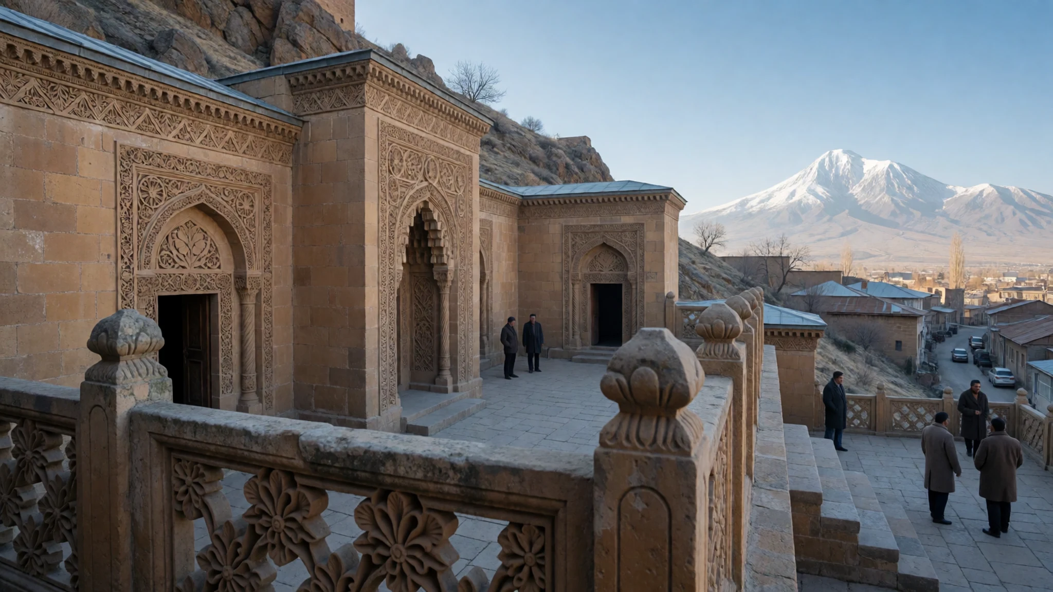
- Khor Virap monastery, Ararat plain — Ararat plain, Armenian side
Khor Virap monastery stands on the Ararat plain in Armenia, and on clear days the great cone of the mountain fills the view to the west. The site is tied to the early Christian story of Armenia and is a pilgrimage place. Go in the morning, before haze gathers over the summit.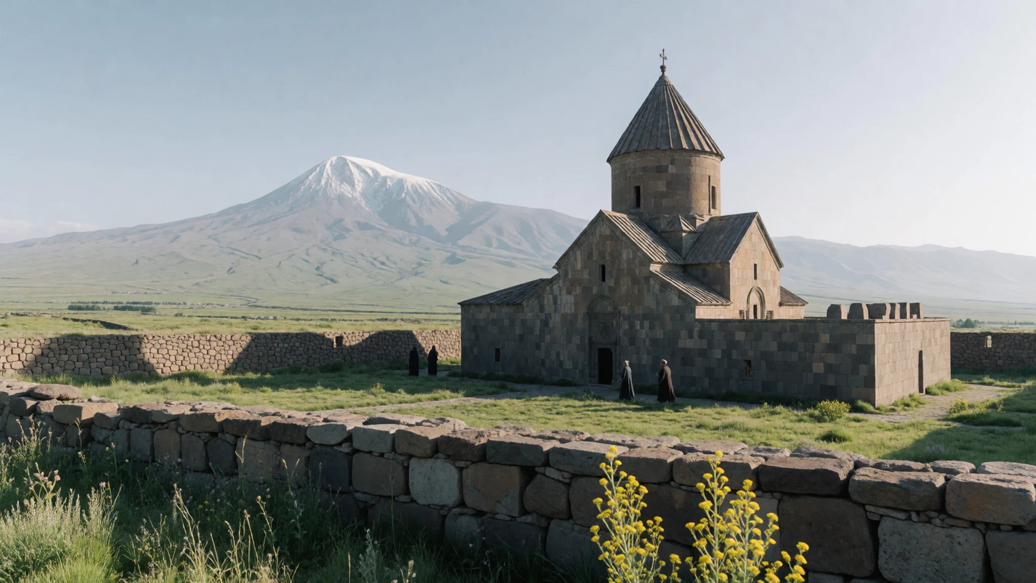
- Yerevan viewpoints — Central Yerevan
From Yerevan, Ararat is a view that shifts with the season and the haze. Head to the high terraces and open squares in the city centre, where the Opera House can be framed against the snowy peak, as in the spring photograph. Early mornings and late afternoons usually give the clearest view, while summer haze often hides the summit by midday.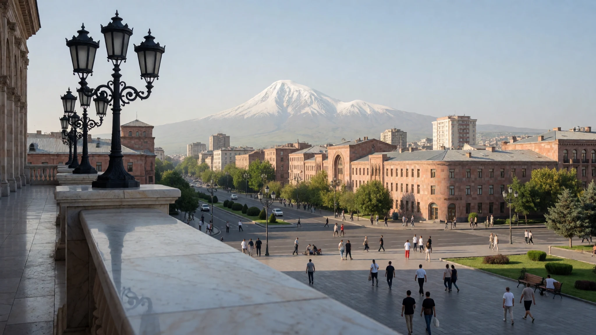
- Serdarbulak lava plateau — Between the two Ararat cones
The Serdarbulak lava plateau, at about 2,600 m, lies in the saddle between Greater and Little Ararat. It is an expanse of cooled lava, crossed by rough tracks, with both cones rising on either side. Access depends on local permits and road conditions, so ask around in Doğubayazıt before setting out.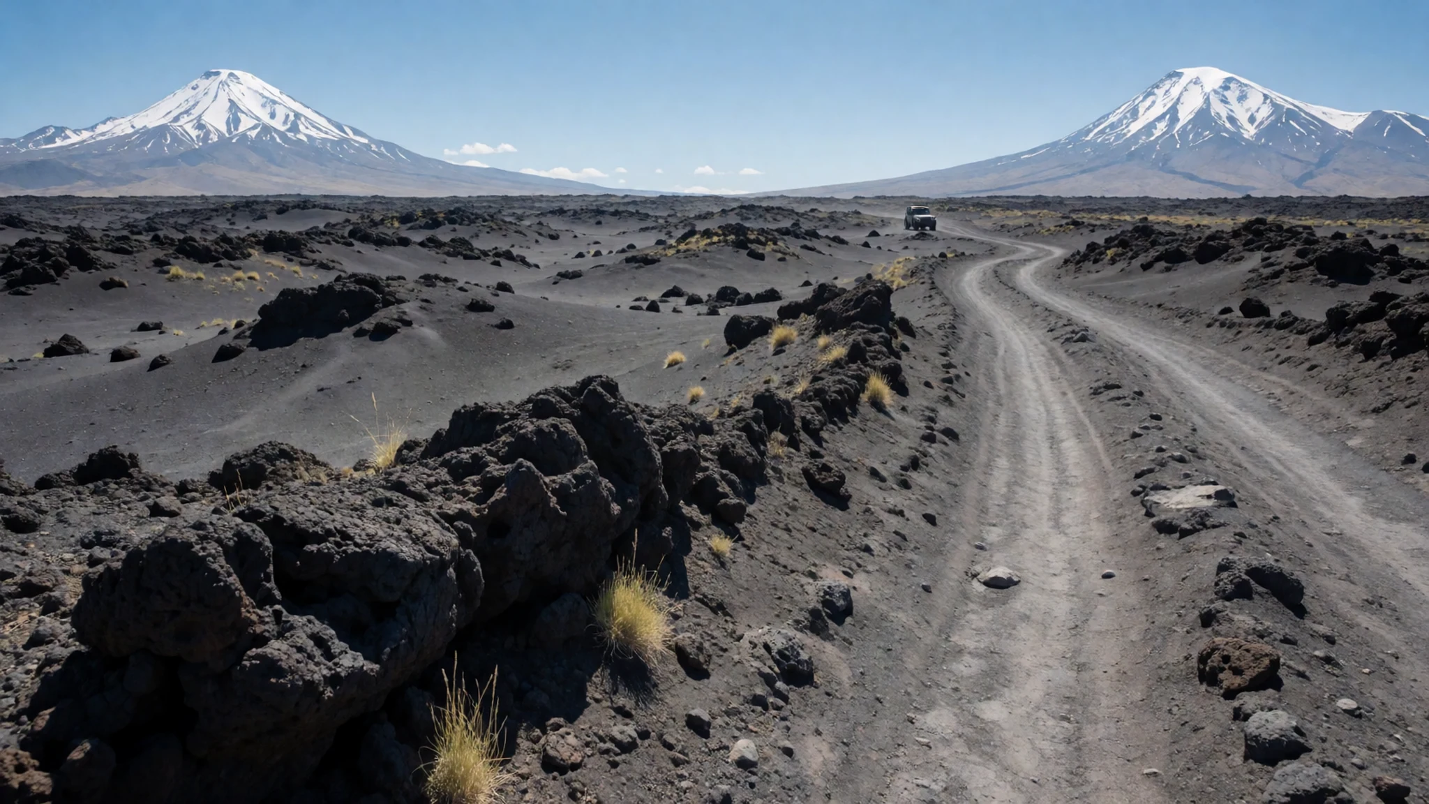
- Saint Gayane Church, Vagharshapat — Vagharshapat, Armenia
Saint Gayane Church, near Vagharshapat west of Yerevan, is one of the Armenian churches that Chardin drew with the mountain behind it in 1686. The church is small and set in open ground, which makes the peak look even larger in the background. Visit with respect for the service and keep your voice low inside.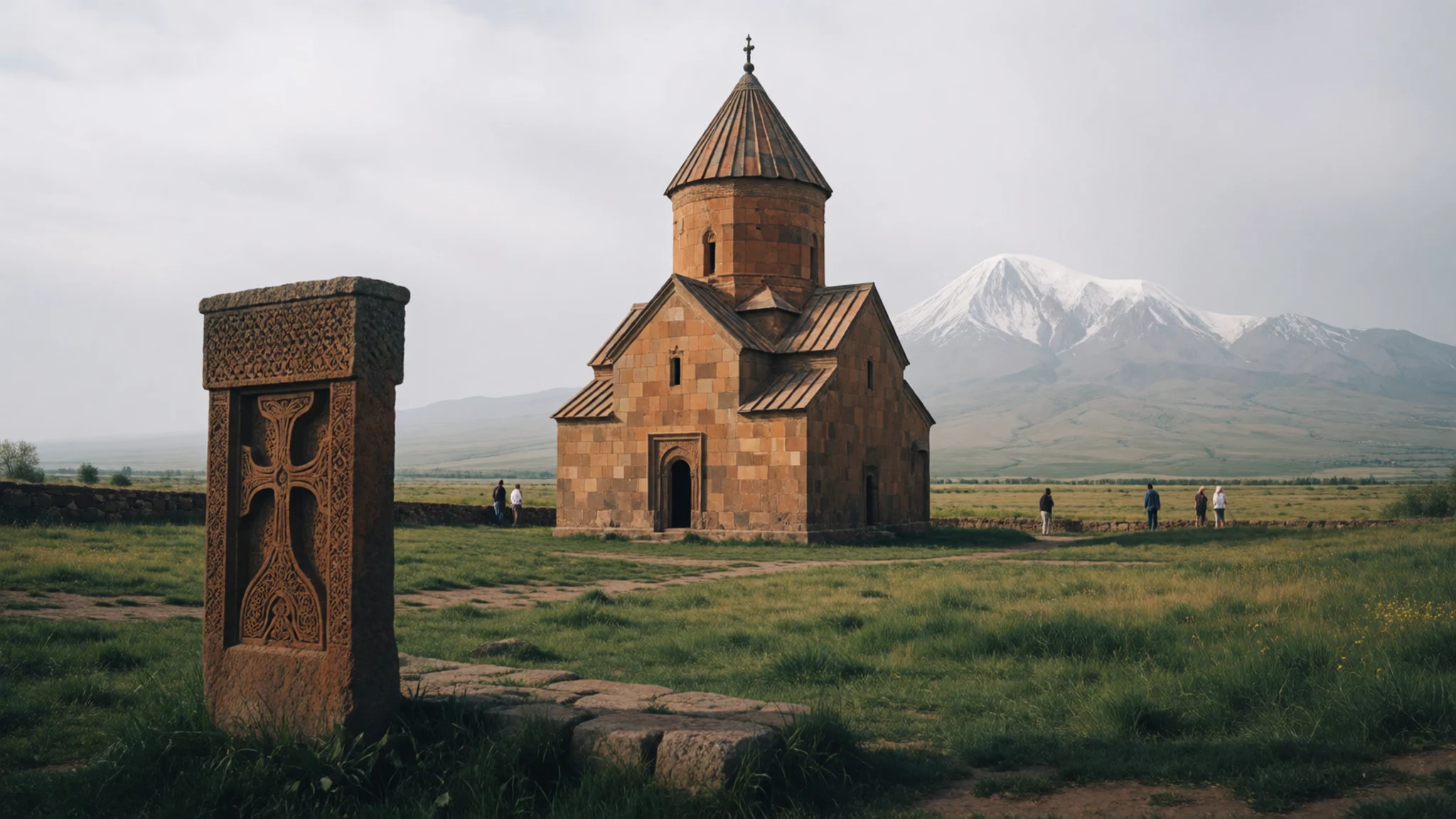
Culture
Mount Ararat is a national symbol for Armenians, though the mountain lies inside Turkey, and visitors meet this in conversation, art and monuments on both sides of the border. Memories of the mountain differ between the two countries, so the subject can be sensitive. Listen more than you argue, and let locals raise history first. Mosques and churches around the plain ask for covered shoulders and knees, and women are often offered a headscarf at the door of a mosque. Border areas around Ararat are restricted in places, with military posts near roads and the Iranian frontier, so keep cameras away from checkpoints and soldiers. Ask before photographing people, particularly women and anyone at prayer. Take off your shoes before stepping onto carpets in mosques and churches.
What to wear
Traditional dress around Mount Ararat has long been built from practical materials: hand-woven wool for coats and waistcoats, cotton for shirts, and silk or fine cotton for embroidered headscarves and sashes. Embroidery, often in red, blue and green thread, marks women's dress in many villages, and men wore wool hats and belted coats suited to the cold plateau. Some of these garments still appear at weddings, festivals and religious holidays, though most people now wear modern clothes day to day. In Doğubayazıt and Yerevan, people wear jeans, jackets and sneakers, and the look is much the same as in any European or Indian city. For a visit, dress in layers. Summer days on the plain are hot and dry, mornings and evenings are cool, and the high ground near the mountain can be cold even in July. Pack a warm fleece, a sun hat and a scarf that covers your shoulders for churches and mosques. Sturdy walking shoes with good grip suit the rough tracks and lava fields far better than sandals.
What to eat
- Lavash — Morning bread stalls in the Doğubayazıt bazaar; bakeries near the Vernissage market, Yerevan
Lavash is a thin flatbread baked against the inside walls of a clay oven and eaten warm. It is used to wrap herbs, cheese and grilled meat. Look for it at morning bread stalls in Doğubayazıt's bazaar and at the bakeries around the Vernissage market in Yerevan.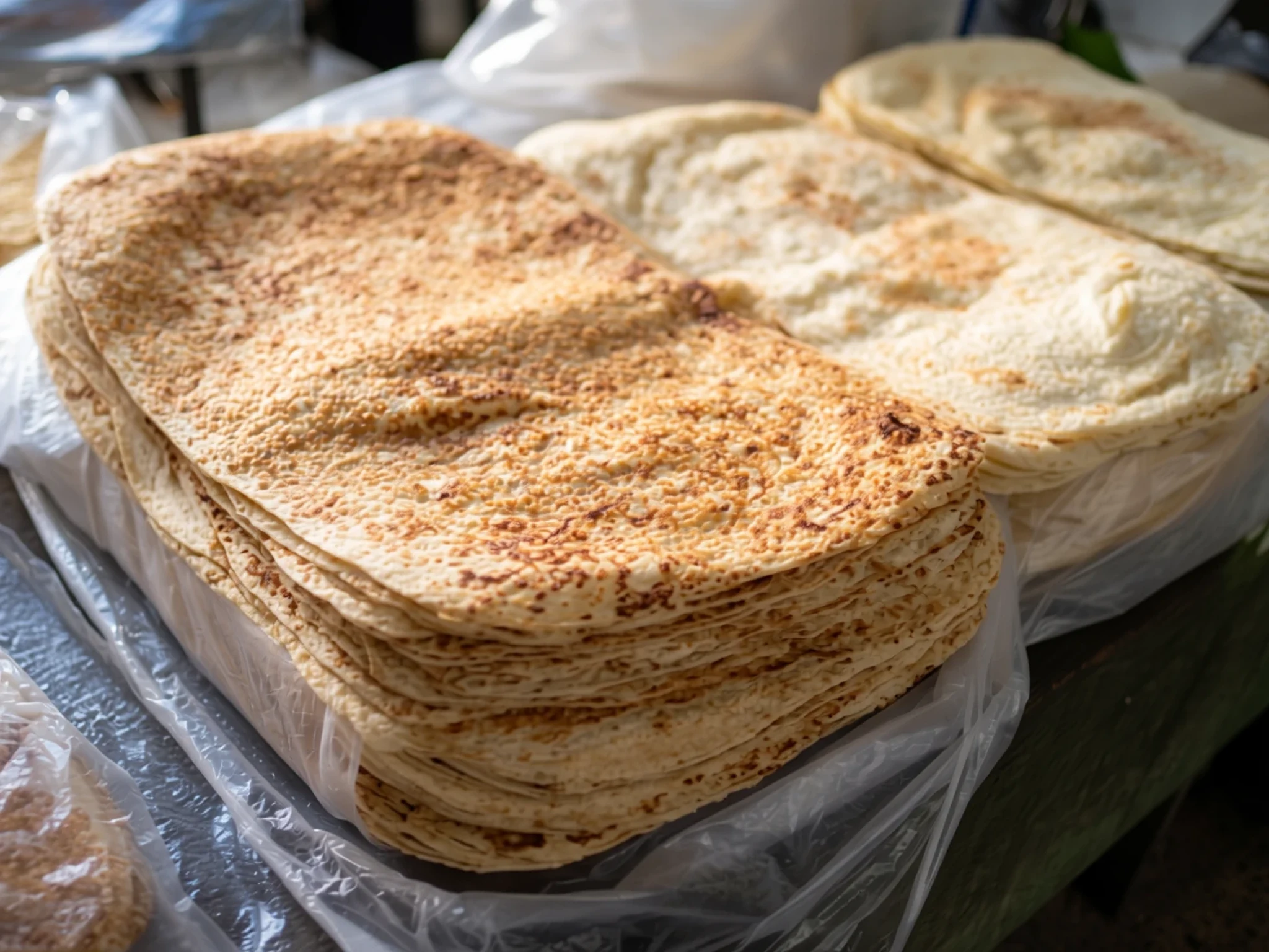
- Çiğ köfte — Small eateries and evening stalls on the central streets of Doğubayazıt
Çiğ köfte is a hand-kneaded, uncooked meat-free mix of bulgur, pepper paste, herbs and spices, rolled into small portions and wrapped in lettuce leaves. Eastern Turkish towns serve it as a snack. Find it at small eateries in central Doğubayazıt and at evening stalls on the main streets.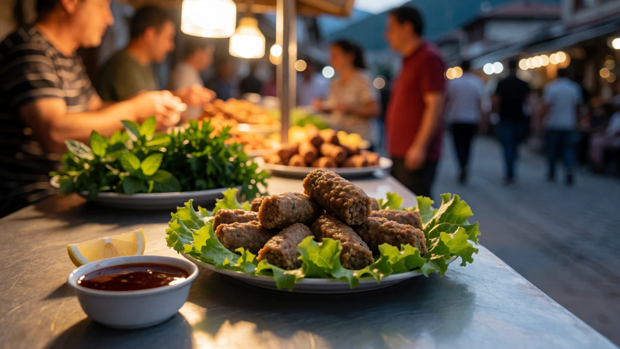
- Khorovats — Outdoor grill restaurants in Yerevan; picnic spots on the Ararat plain
Khorovats is Armenian barbecue, with pork or lamb threaded on skewers and grilled over charcoal. Meals are slow and social, with bread, herbs and fresh vegetables on the side. Try it at outdoor grill places in Yerevan and at summer picnic spots on the Ararat plain. - Apricots and dried fruit — Fruit stalls at the Vernissage market, Yerevan; Doğubayazıt bazaar
Apricots are one of the region's signature fruits, sold fresh in summer and dried through the autumn. Dried apricots, figs and mulberries appear in market stalls on both sides of the border. Buy them at the fruit stalls in the Vernissage market or the Doğubayazıt bazaar, and try them with tea. - Tea in a çay house — Çay houses on the squares of Doğubayazıt
Turkish tea is served in small tulip-shaped glasses, kept hot from a samovar at every çay house in eastern Turkey. Sit with locals on the square and order it sweet or plain. It is one of the easiest ways to spend an afternoon looking at the mountain.
Plan it
Best time. June to September, when the lower slopes are clear and the roads are open; winter brings deep snow, cold winds and avalanche risk, and the spring melt makes tracks unstable.
How long. 2–3
Getting there. Fly into Kars or Erzurum, then take a long road south-east to Doğubayazıt, the town at the foot of the mountain. From Yerevan, Zvartnots airport is the nearest airport for the Armenian side, and Khor Virap is a day trip from the city.
Budget. mid
Tips
- Base yourself in Doğubayazıt for Turkish-side views and in Yerevan for the Armenian side
- Go out early; cloud often builds over the summit by midday
- Carry Turkish lira in cash for small eateries and fuel, since cards are not accepted everywhere
- Drink plenty of water and take it slowly at altitude, as the Serdarbulak area is high
- Check border and permit rules with your embassy before planning anything near the frontier
Etiquette
- Ask before photographing people, especially women and religious ceremonies
- Dress modestly at churches and mosques and remove your shoes where asked
- Do not photograph military posts or border installations
Nearby
Sources
- Wikidata Q72303 (CC0)
- Wikipedia: Mount Ararat (rev 1383094887) (CC BY-SA 4.0)
- Wikivoyage: Ararat (rev 4388935) (CC BY-SA 4.0)
- NASA/JSC, Mount Ararat (01-neo-ararat-big.jpg) (Public domain)
- Serouj Ourishian, Mount Ararat and the Yerevan skyline in spring (02) (CC BY 4.0)
- Serouj Ourishian, Mount Ararat and the Araratian plain (03) (CC BY-SA 4.0)
- Serouj Ourishian, Closeup of large peak of Mount Ararat (04) (CC BY-SA 4.0)
- Serouj Ourishian, Closeup of Lesser Ararat from Yerevan (05) (CC BY-SA 4.0)
- Safa Daneshvar, Ararat Mountain, Dogubayazit (06) (CC BY-SA 4.0)
- Woudloper, Mediterranean Rupelian paleogeography (07) (Public domain)
- Jean Chardin, Mount Ararat with Noah's Ark and Saint Gayane Church, 1686 (08) (Public domain)


