Mount Apo
Mount Apo, Philippines
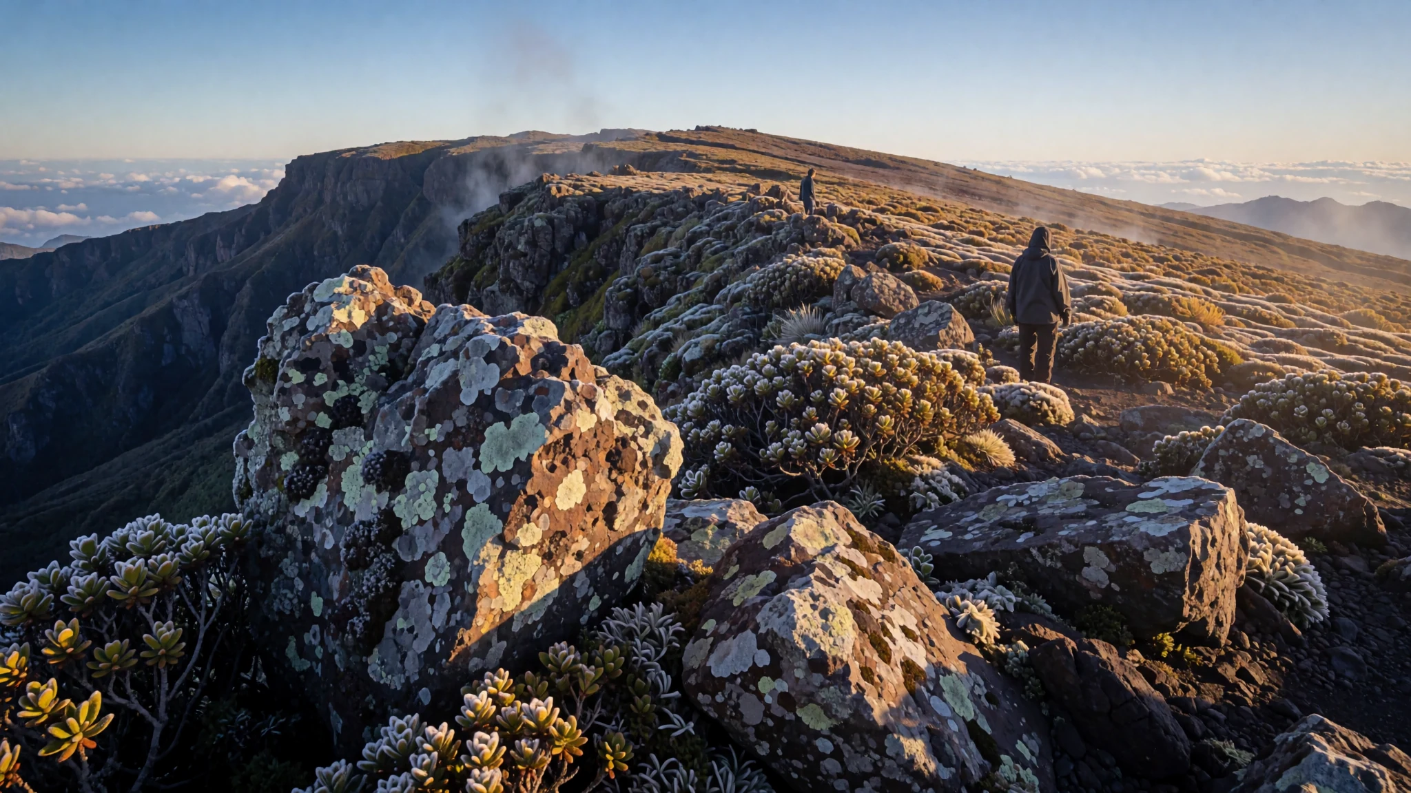
Go for the highest mountain in the Philippines, a dormant volcano with a crater lake, sulfur vents and a rainforest that rises from lowland farmland to cold summit ridges.
The place
Mount Apo is the highest peak in the Philippines, rising 2,954 m above sea level on the island of Mindanao. It is a large, dormant stratovolcano and the centrepiece of the Apo-Talomo range, a mountain that sits where Davao City, Davao del Sur and Cotabato meet. On clear mornings its broad, flat-topped profile can be seen from the lowland towns around Davao and Digos, which is why it has long been part of the region's sense of itself.
The summit is not a single point. Three peaks rise from the flat top, and the southwest peak is the highest, crowned by a crater about 200 m across that holds a small lake. Sulfur vents and steaming ground, known as solfataras, run up the southeast flank almost to the summit. The volcano's eruptive past is poorly recorded and no historical eruption is known, so its activity is treated as dormant rather than extinct.
Most of the mountain lies within Mount Apo Natural Park, first declared a national park in 1936. The landscape changes sharply with height: rock and volcanic ground near the top give way to mossy forest, pine stands and swamp lower down. The park is also a stronghold for the Philippine eagle and for birds such as the Apo sunbird, and its wide range of habitats is the reason many climbers say it offers more variety than any other climb in the country.
Its story
Mount Apo's climbing history began with failure. Two early attempts, one led by Jose Oyanguren and another by Señor Real, did not reach the summit. The first recorded success was made by a party led by Don Joaquin Rajal. Before setting out, Rajal had to obtain permission from Datu Manig, the Bagobo chieftain whose lands lay on the way up. Accounts say the datu first demanded a human sacrifice to please the god Mandarangan. He agreed to drop that demand, and the climb went ahead, reaching the top several days after it began.
The mountain's modern history has been shaped by fire. In late March and April 2016, extreme El Niño conditions, which the brief links to climate change, fuelled forest and bush fires across the slopes. Smoke haze drifted over the mountain and hikers were forced to halt their ascent. Tourism in the region was badly affected until the government and local stakeholders launched a holistic recovery plan for the whole natural park, and the mountain has since recovered.
The story also reflects the mountain's place in local life. Bagobo and other Lumad communities have long-standing ties to Apo, and the Datu Manig episode is remembered in accounts of the first successful climb as a reminder that the summit was reached through negotiation with the people who lived below it.
What to see
- The southwest summit and crater lake — Southwest summit, Mount Apo Natural Park
The highest of the three peaks is the southwest summit, crowned by a crater about 200 m wide with a small lake inside. Reaching the rim is the goal for most climbers, and the view from the edge explains why the mountain is so often photographed. The ground is steep and exposed, so keep your pack light and move slowly near the drop.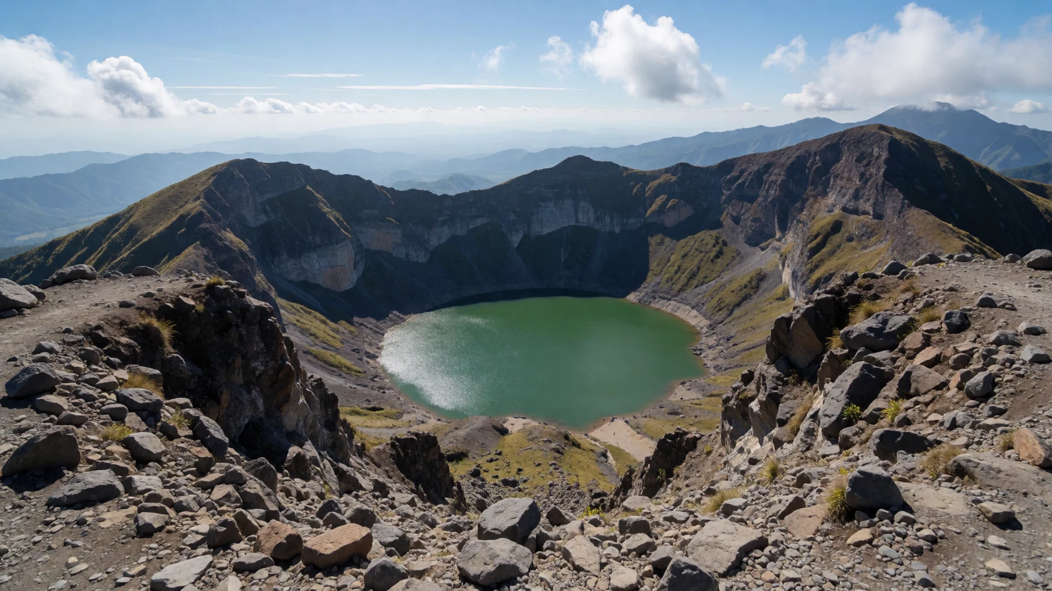
- The three-peak summit ridge — Summit plateau, above the treeline
Three peaks form the flat top of the mountain, linked by a broad ridge that looks almost like a plateau from a distance. Weather can close in quickly up here, so carry a compass or GPS and stay with your guide. On clear windows the lowlands around Davao and Digos spread out far below the rim.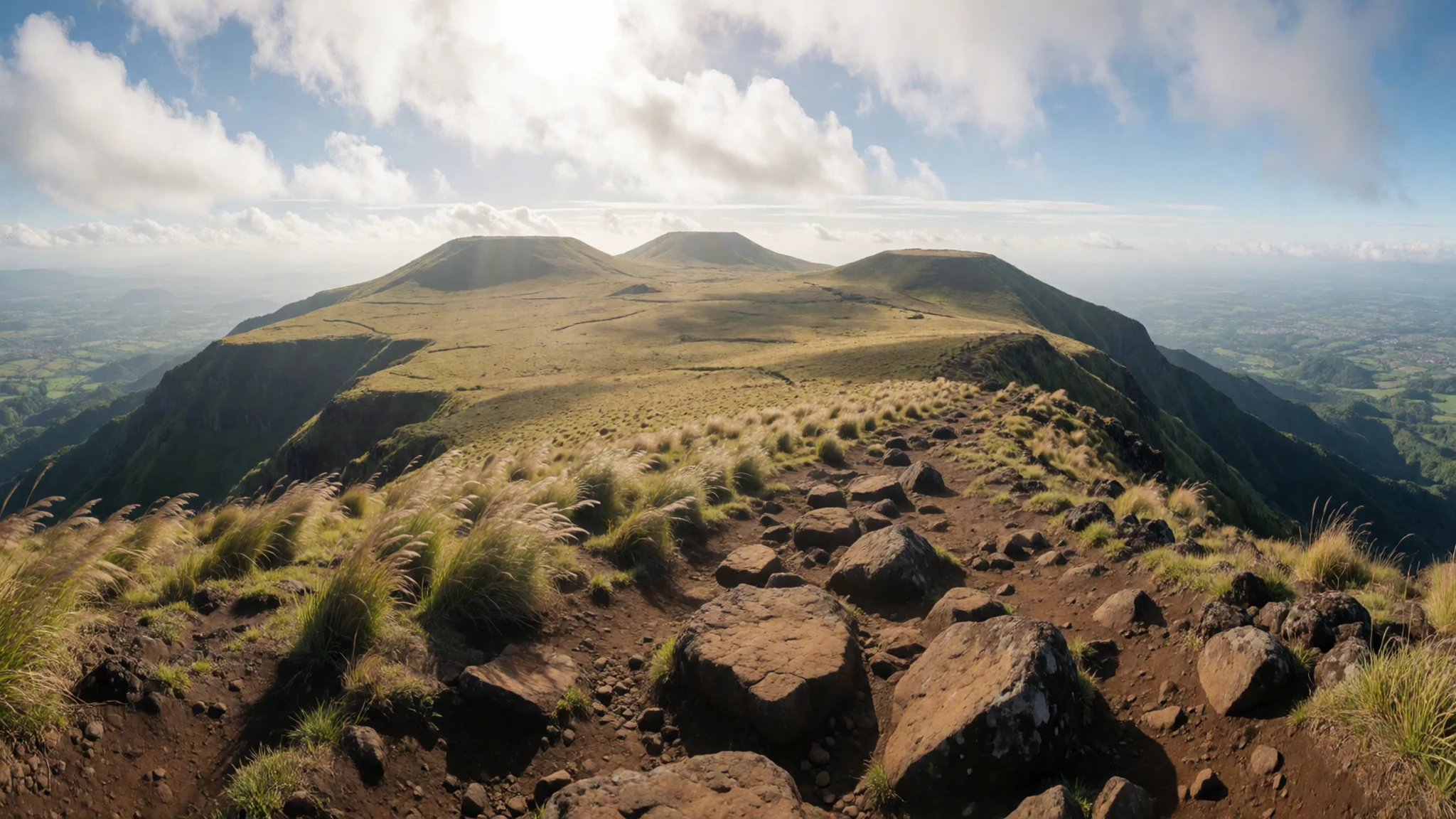
- Sulfur vents and solfataras — Southeast flank and upper slopes
A line of solfataras, vents that release steam and sulfur gases, runs from the southeast flank up toward the summit. The smell is sharp and the ground is hot and crusted in places, so stay on the path. These vents are a reminder that the volcano remains geologically active, even though no historical eruption is recorded.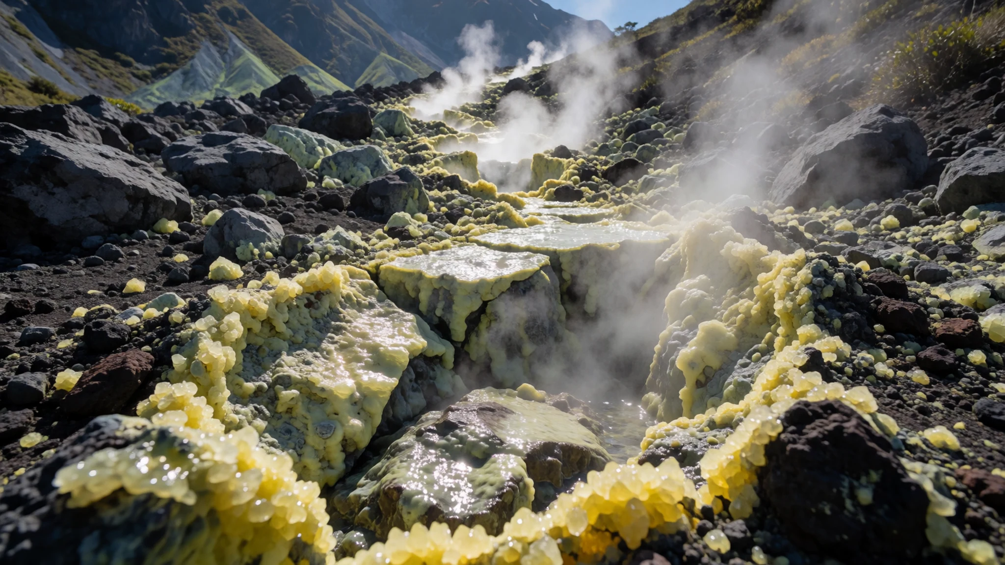
- Lake Venado campsite — Lake Venado, mid-mountain
Lake Venado is the second campsite, at the point where many trails meet. The air is cold and the place feels remote, with pines to the north and the summit to the south. The lake level can rise and shrink the camping area, so ask your guide to check the ground before you pitch a tent.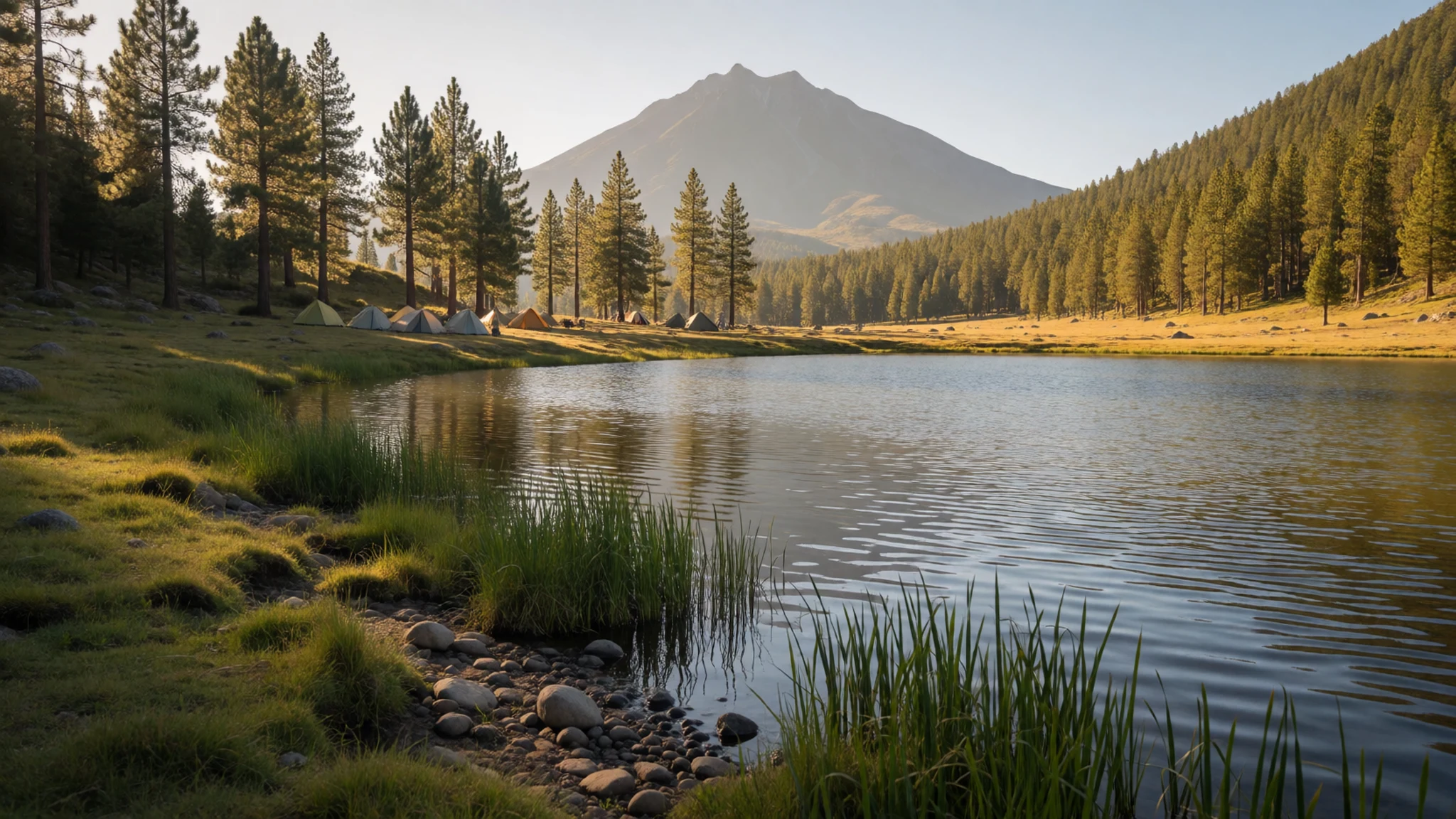
- Mainit Hot Springs — First campsite on the approach
Mainit Hot Springs is the first campsite, where climbers can dip into a small hot pool after the approach. Reach it while there is still daylight, as it takes 5–6 hours on foot to get to the following campsite. A soak here is a welcome break before the colder, longer stretch above.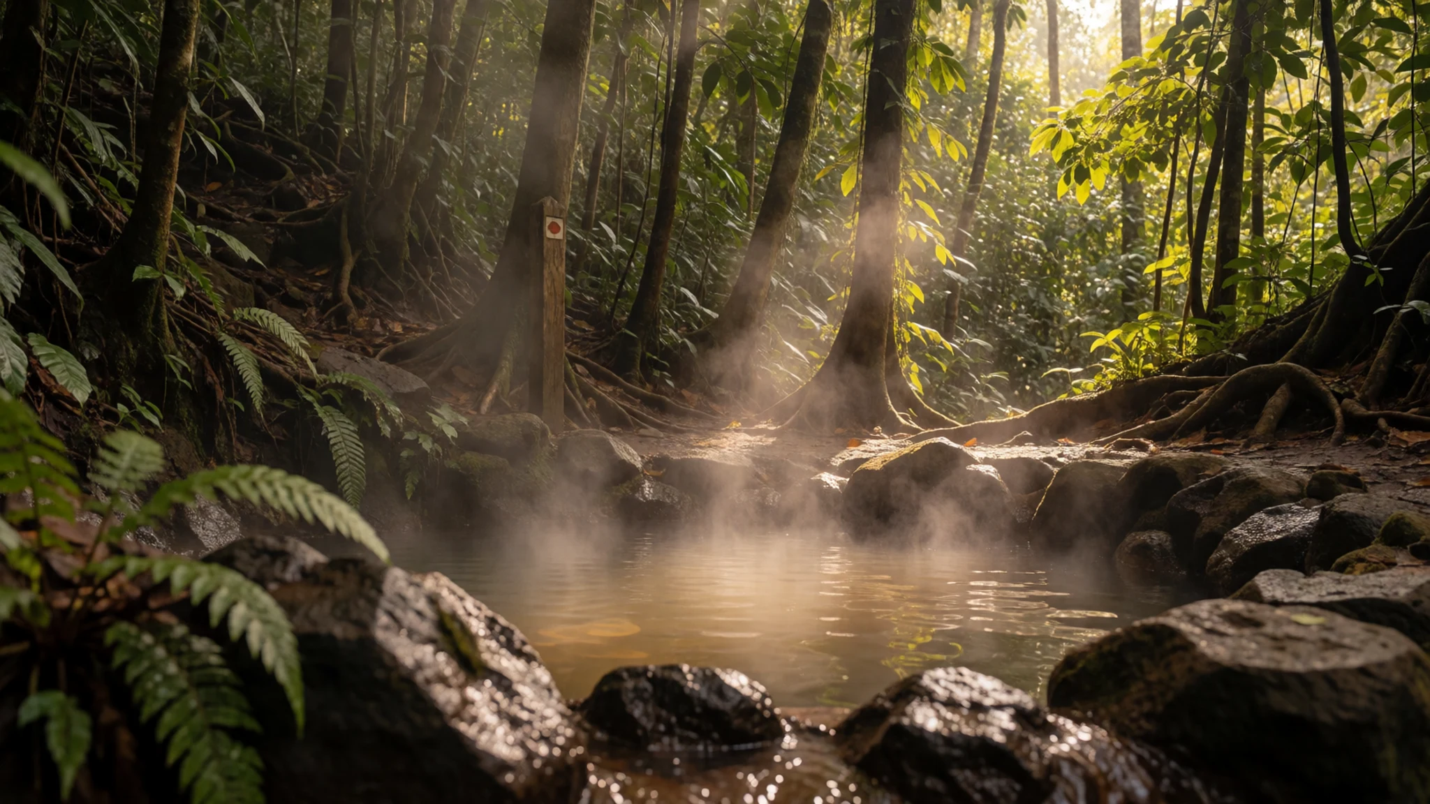
- Rainforest and birdlife — Middle slopes, within the natural park
The middle slopes are dense rainforest, with mossy trunks, ferns and plenty of birdlife. Mount Apo is a stronghold for the Philippine eagle, and the Apo sunbird is a local speciality. Go quietly and early for the best chance of sightings, and do not feed or disturb the wildlife.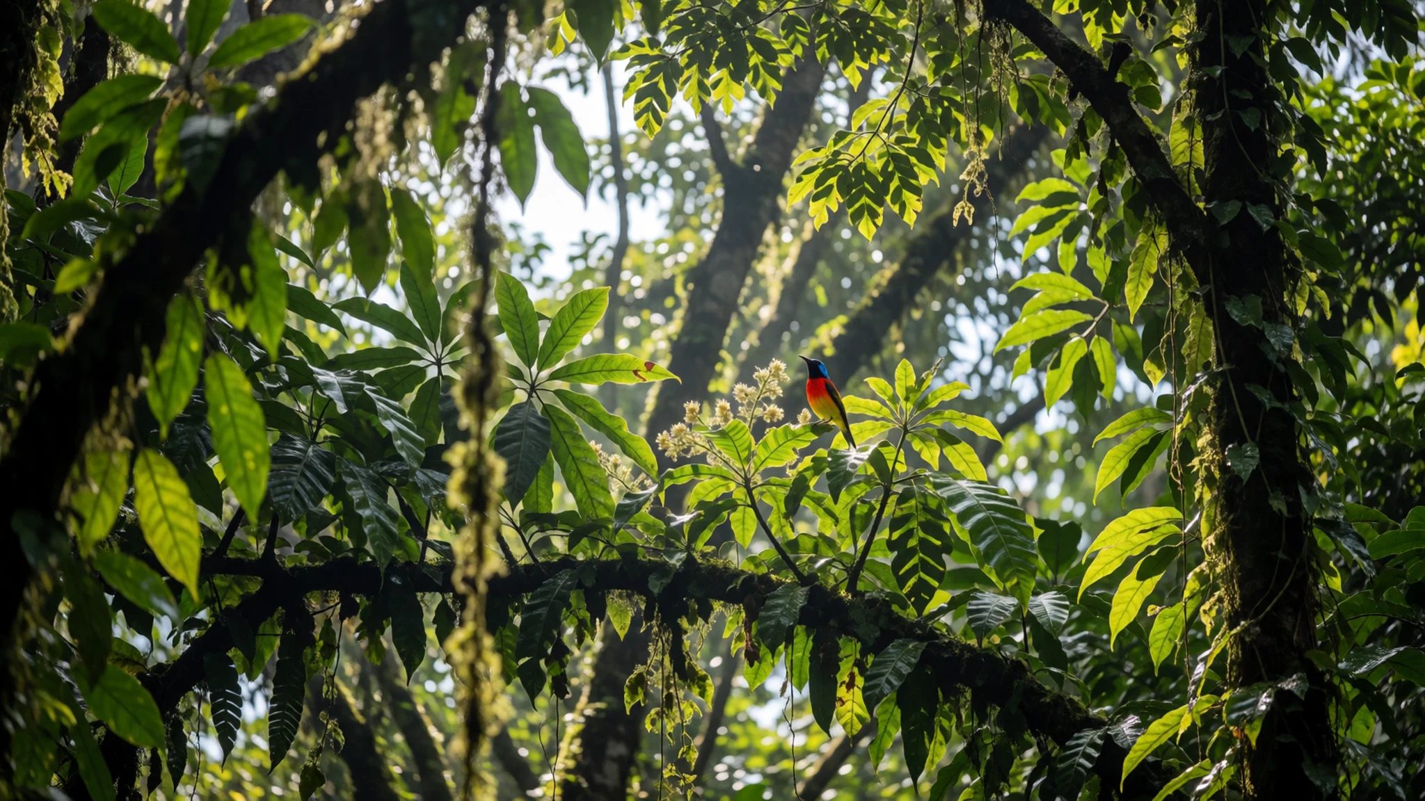
Culture
Mount Apo is a sacred and ancestral landscape for Lumad communities, among them Bagobo groups whose customs are tied to the mountain. Its spiritual meaning is not a backdrop for photographs, so treat the peak and its villages with the seriousness the people who live there expect. Local guides are the best route into this, and most climbs are arranged with them rather than alone. In villages, ask permission before entering a home or joining a ceremony. Photography of people needs consent, especially for children, elders and anyone at prayer or in a ritual. The park is a protected area, so keep to marked trails, carry out all waste and leave plants, rocks and animals where they are. Quiet matters at the campsites, and loud talk or music spoils the sense of place that draws people to Lake Venado. Before taking a picture of anyone you meet on the mountain, ask first and accept a refusal without argument.
What to wear
The communities who have lived around Mount Apo for generations, including Bagobo and other Lumad groups, have long worn garments made from abaca, a strong fibre drawn from the leaf stalks of a banana relative. Traditional blouses and skirts were decorated with embroidery, glass beads and metal ornaments, and beadwork still marks ceremonial clothing. Across Mindanao, T'nalak cloth woven by T'boli weavers shows how abaca can carry complex patterns; it is not made on the mountain, but it is a useful reference for the region's textile traditions.
Most people in the towns below the mountain dress as they would in any Philippine city: jeans or trousers, short-sleeved shirts or T-shirts, and rubber sandals or sneakers. In villages, modest dress is appreciated, and many Lumad women wear traditional pieces for ceremonies and markets.
For the climb, pack quick-dry layers, a warm fleece and a waterproof shell, because the summit is cold and the rain is unpredictable. Wear long trousers against scrub and insects, and sturdy boots with good grip for wet volcanic ground. Dress modestly when visiting villages.
What to eat
- Kinilaw — Seafood stalls in the public markets of Davao City
Kinilaw is raw fish or seafood cured in vinegar with onion, ginger and chilli, a fresh, sharp dish that suits the heat of the lowlands. Look for it at the seafood stalls in the public markets of Davao City, where the fish is usually sold the same morning.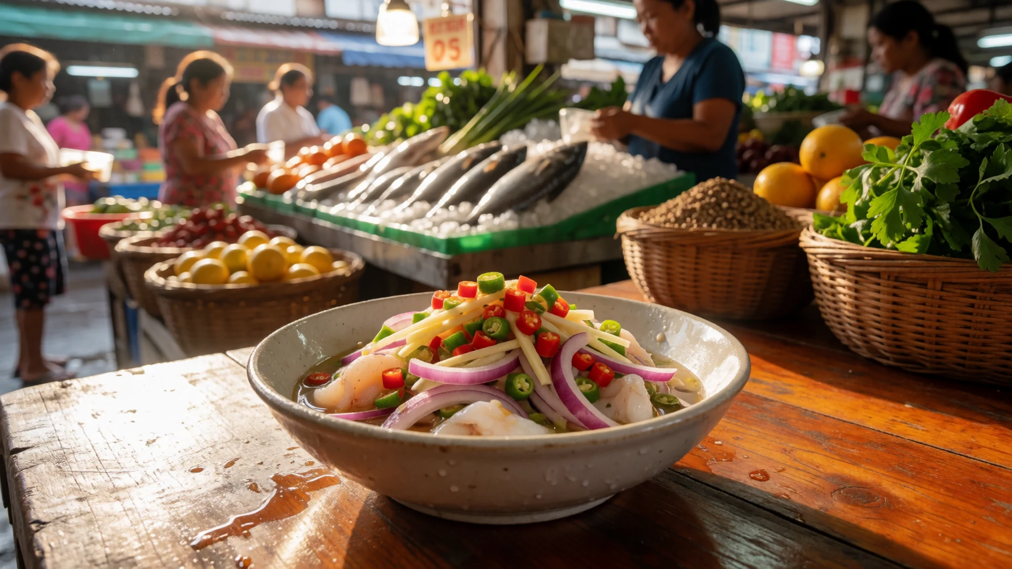
- Packed rice and tinned fish — Davao City or the market towns before the trailhead
Packed rice and tinned fish bought in town before the climb are the staple of most hikers' bags, because food on the mountain is limited. Buy more than you think you need, pick dried fruit and bread that keep well in the cold, and carry out every wrapper.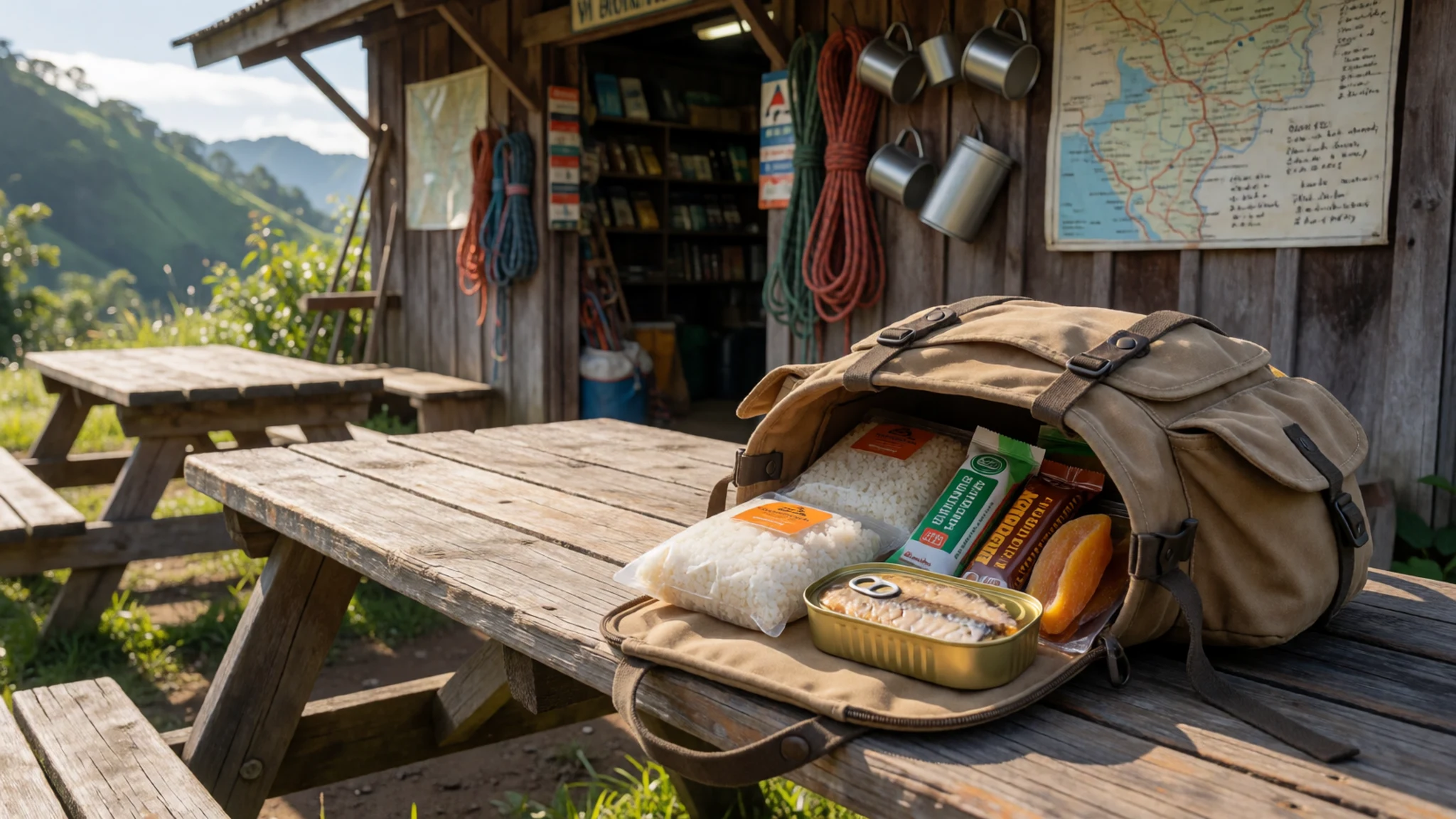
- Sinugba — Roadside grills on the approach roads
Sinugba is meat or fish grilled over charcoal and served with a vinegar dip. Roadside grills on the approach roads are the usual place to find it, and it makes a good first meal after a long drive. Check that the meat is cooked through and eat it hot. - Halo-halo — Merienda stalls and cafés in Davao City
Halo-halo is a layered dessert of shaved ice, sweetened beans, fruit, jelly and evaporated milk, served in a tall glass. Find it at merienda stalls and cafés in Davao City, a good way to cool off before the climb. - Pancit — Eateries in the market towns on the approach
Pancit, stir-fried noodles with vegetables and meat, is a common party and roadside dish. Find it in the eateries of the market towns on the approach, where it is often cooked to order and sold by the plate.
Plan it
Best time. No month is reliably dry, because rain falls through the year and humidity stays high on the upper slopes. The early-year and spring months give the clearest spells when the peak is visible, but check conditions locally, since dry spells have brought forest fires and haze to the mountain.
How long. 3–4
Getting there. Fly into Davao City, then travel by road to the trailheads on the Davao side of the mountain, with the last leg by hired vehicle. Arrange the transfer and the trek through an adventure provider in advance.
Budget. mid
Tips
- Book a registered guide, porters and permits through an adventure provider before you travel, since they handle permits and camping equipment.
- Start the trail early, before cloud and rain build over the summit.
- Carry waterproofs and warm layers, because the weather is unpredictable and rain can come quickly.
- Confirm river levels with your guide before any crossing, and follow local advice in bad weather.
- Bring cash in small notes for guides, porters and village stops, since card payment is unlikely on the trail.
- There is no lodging on the mountain, so plan on camping gear supplied by your provider.
Etiquette
- Stay on marked trails and within the natural park boundary.
- Ask before photographing people, especially in villages.
- Carry out all rubbish, including food wrappers.
- Follow your guide's advice on campsites and sacred places.
Nearby
Sources
- Wikidata Q455963 (CC0)
- Wikipedia: Mount Apo (rev 1369550078) (CC BY-SA 4.0)
- Wikivoyage: Mount Apo (rev 4836713) (CC BY-SA 4.0)
- Photo: The Ring of Mt. Apo, Bro. Jeffrey Pioquinto, SJ (CC BY 2.5)
- Photo: Mystical Lake of Mt. Apo, Dosias (CC BY-SA 4.0)
- Photo: Overlooking View at the Peak of Mt. Apo, Marciano Villavito (CC BY-SA 4.0)
- Photo: Apo Sunbird, markaharper1 (CC BY-SA 2.0)
- Photo: Sulfur vents on Mount Apo, Kleomarlo (CC BY 3.0)
- Photo: Mount Apo Rainforest, Jay Jopia (CC BY-SA 4.0)
- Photo: Mount Apo as seen from Lake Venado, Kleomarlo (CC BY 3.0)
- Photo: A Father's Sacrifice, Ritchie Basilio (CC BY-SA 4.0)


