Mont Blanc
Mont Blanc, France
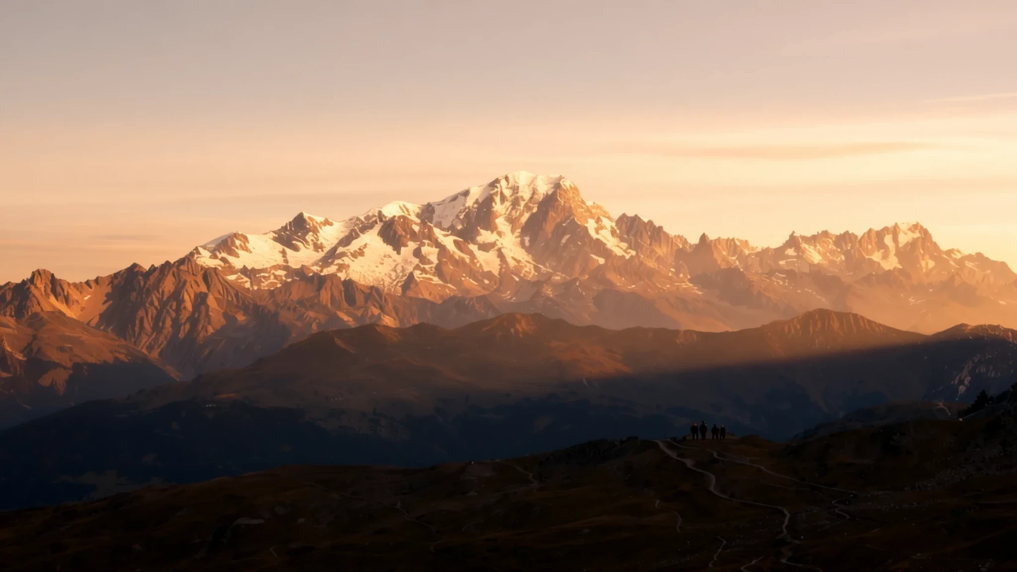
The Alps' highest mountain sits on the French-Italian border, and a cable car lifts visitors to a viewpoint near 3,800 metres.
The place
Reaching 4,806 metres above sea level, Mont Blanc sits in the Alpine range on the boundary between France and Italy. It is the highest mountain in the Alps, and it gives its name to the wider Mont Blanc massif, a block of peaks, glaciers and high valleys that also reaches into Switzerland. The summit sits on a watershed, so the valleys on either side feed different river systems, one towards the Rhône and one towards the Po.
Three towns ring the massif. Chamonix and Saint-Gervais-les-Bains lie in Haute-Savoie, France, while Courmayeur sits in the Aosta Valley, Italy. Chamonix, at about 1,030 metres, hosted the first Winter Olympics, and its streets still feel shaped by climbers, skiers and guides. Hiking, trail running, rock climbing and skiing all draw people here through much of the year.
The summit is a permanent ice cap, and it stays bitterly cold even in summer, with temperatures around −20 °C. Weather can turn quickly, and strong winds are common higher up. Most visitors never stand on the top. They ride cable cars to viewpoints, walk the glaciers below, or look up from valley villages, which is a good way to see the massif without committing to a long climb.
Its story
Pierre Martel's chart and drawing of the Chamonix valley, dated 1744, is generally regarded as the earliest printed appearance of the name Mont Blanc. Long before anyone reached the top, the mountain was a landmark: it was the highest peak of the Frankish Empire under Charlemagne, and it held that status within the Holy Roman Empire until 1792.
From 1760, the Swiss naturalist Horace-Bénédict de Saussure spent long periods in Chamonix watching the mountain and urging others to climb it, rewarding the successful attempt. The first recorded ascent came on 8 August 1786, when Jacques Balmat and the doctor Michel-Gabriel Paccard stood on top. Historians often treat that climb as the beginning of modern mountaineering. Marie Paradis became the first woman to reach the summit in 1808.
The mountain's bones explain its shape. Mont Blanc is built largely from a huge body of granite, forced upwards through older gneiss and mica schists during the Variscan mountain-building of the late Palaeozoic era. The summit sits where the two rock types meet.
Ownership of the top is still argued. Italian officials hold that the border follows the main watershed, splitting the summit between the two countries, while French officials place the summit entirely in France. The disputed areas amount to roughly 65 hectares on Mont Blanc and ten hectares on the nearby Dôme du Goûter.
What to see
- Aiguille du Midi — Chamonix, French side
The cable car from Chamonix climbs to the Aiguille du Midi at 3810 metres, the start point for one of the standard routes up the mountain and the best-known viewpoint on the massif. From the top platform, Mont Blanc, Mont Blanc du Tacul and Mont Maudit lie in a single panorama. Expect queues at busy times in summer, and check the official operator for current times and fares.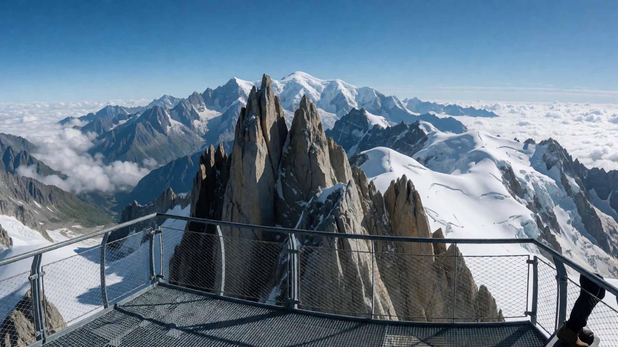
- Mer de Glace — Above Chamonix, reached by rack railway
The Mer de Glace is a long river of ice on the northern side of the massif, and its climate is similar to the northern side of the Swiss Alps. Reach it by the rack railway from Chamonix, then walk down towards the ice. Conditions shift through the season, so ask at the station before setting out and wear grippy boots for the steps and paths.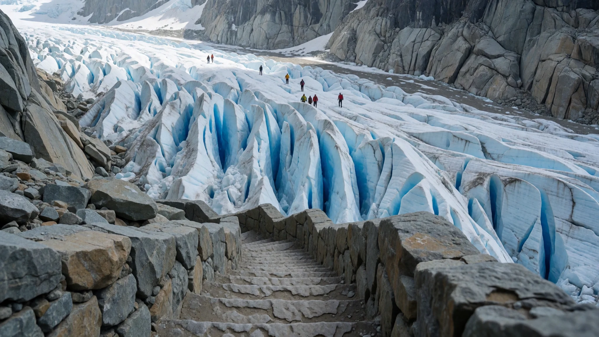
- Mont Blanc Tunnel — Between Chamonix and Courmayeur
The Mont Blanc Tunnel runs 11.6 km beneath the massif, linking the French and Italian sides. It was built between 1957 and 1965 and remains a major route across the Alps for lorries and cars. Tunnel status can change because of maintenance or incidents, so check current conditions before a day trip.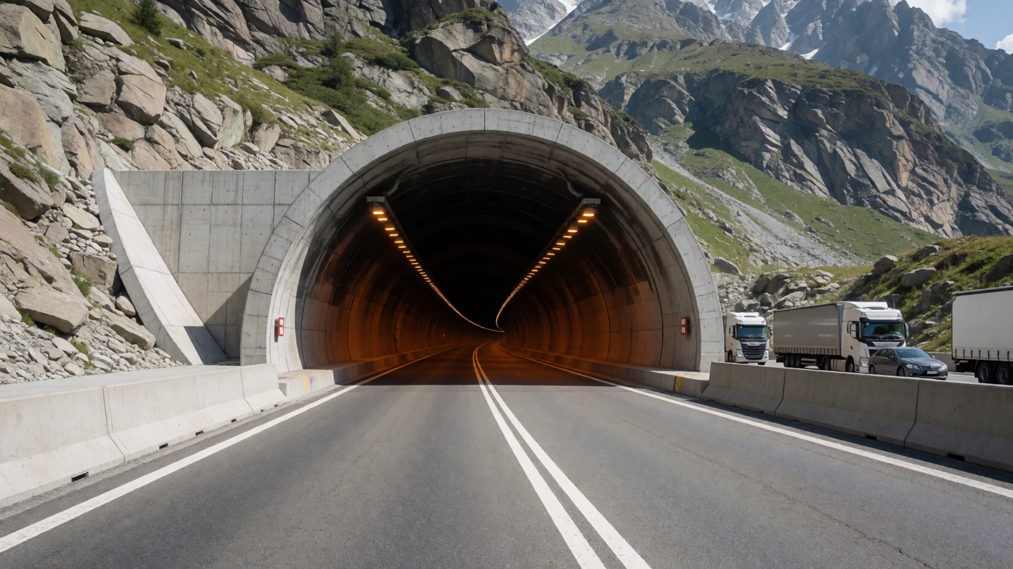
- Courmayeur and the Col du Géant — Aosta Valley, Italy
Courmayeur sits on the Italian side in the Aosta Valley, and it is used less often as a base than the two French towns. A cable car connects Courmayeur and Chamonix by passing through the Col du Géant, allowing you to visit both countries in one day. The Italian side has a different feel, with Italian as the everyday language and a slower pace in the village.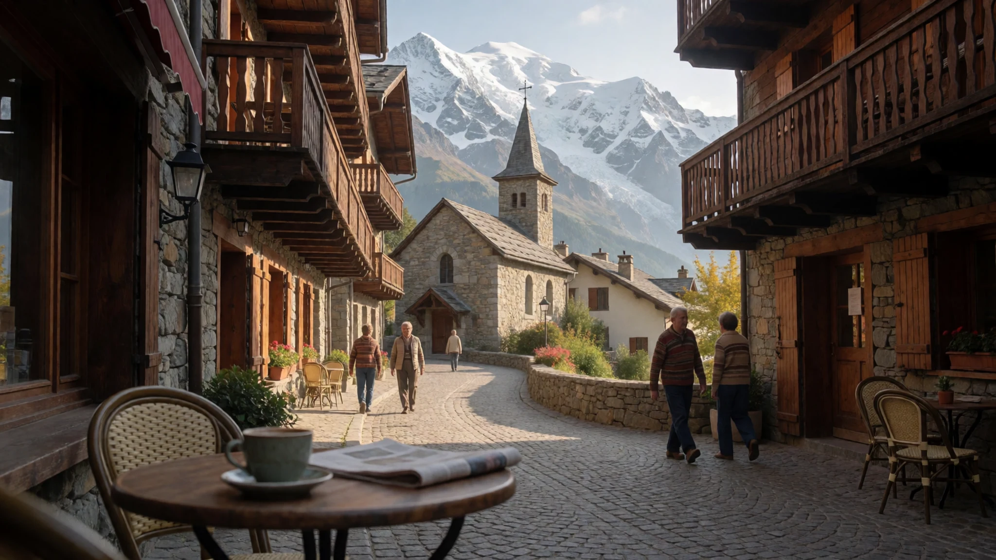
- Nid d'Aigle and the Tramway — Saint-Gervais-les-Bains, French side
The rack railway, known as the Tramway, climbs from Saint-Gervais-les-Bains to the Nid d'Aigle at 2380 metres. It is the starting point of the Voie Royale, a classic route up the French side. The climb starts from a lower base than the Chamonix cable car, so it suits people who want the full ascent rather than a viewpoint.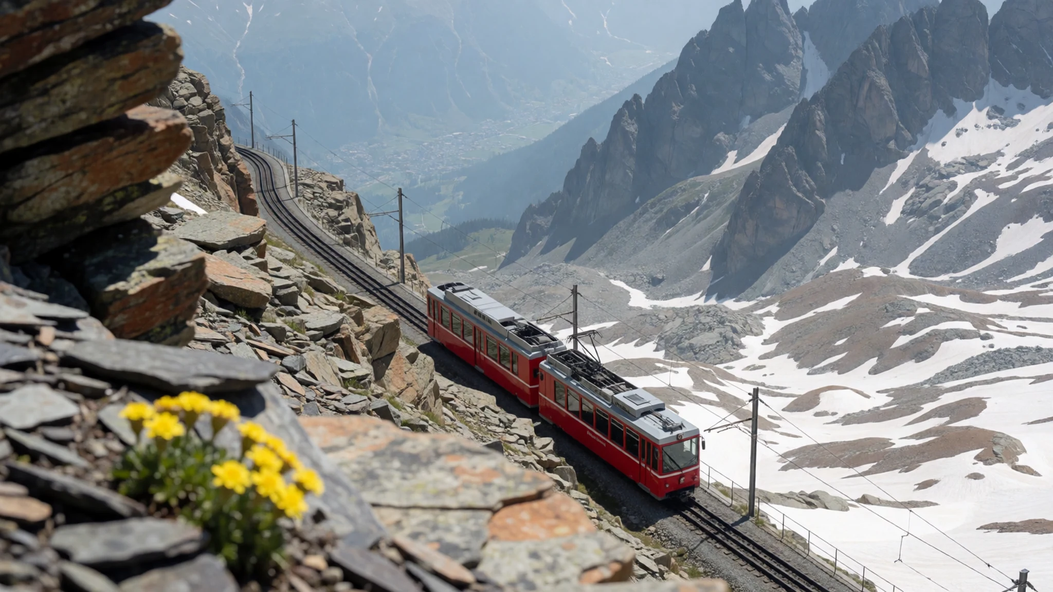
Culture
Mont Blanc is a mountain where local life revolves around guiding, weather and the timetable of the cable cars, and visitors do well to respect all three. Chamonix and Saint-Gervais are French-speaking towns with a long climbing tradition, while Courmayeur on the Italian side speaks Italian and French, reflecting the bilingual status of the Aosta Valley. Mountain guides are respected professionals rather than tourist attractions, and many climbers still judge a route by how carefully it is planned.
Mountain rescue is busy in July and August, and the teams who work the routes are professionals who put themselves at risk. Expect to be asked about your plans at cable car stations and huts, and answer honestly, since it helps staff judge conditions. Mountain huts run to tight schedules and limited beds, so arrive in good time and follow the house rules for meals and quiet hours.
The massif straddles two countries, so carry cash or cards that work in both, and expect French or Italian at many ticket desks. Keep to marked paths so the fragile alpine vegetation is not trampled, and carry your rubbish back down with you.
What to wear
Mont Blanc's traditional dress belongs to the valleys around the massif rather than to the mountain itself. In Haute-Savoie and the Aosta Valley, working people wore practical wool, linen and leather, with heavy wool coats and caps for the mountain weather. These costumes now appear mostly at festivals and in regional museums, where the cut and textiles are the best guide to what was worn.
What people wear now is almost entirely technical. Locals and guides in Chamonix and Courmayeur favour waterproof shells, insulated layers, gaiters and sturdy boots, and the same kit is common among hikers on the trails. Cafés and village streets are relaxed, so ordinary casual clothes are fine once you are away from the high ground.
Visitors should dress for altitude and sudden change. Pack a waterproof jacket, a warm mid-layer, a hat and gloves even in summer, sunglasses with UV protection, and boots with good grip for rocky or icy ground. Cotton holds moisture and chills quickly, so choose synthetic or wool base layers. Modesty norms are relaxed here, but village churches expect covered shoulders.
What to eat
- Tartiflette — Village restaurants in Chamonix and Saint-Gervais
A baked dish of potatoes, lardons, onion and Reblochon cheese, melted together in one dish. It is the classic Savoyard winter meal and suits a cold evening after a day on the snow. Look for it in village restaurants and mountain eateries in Chamonix and Saint-Gervais.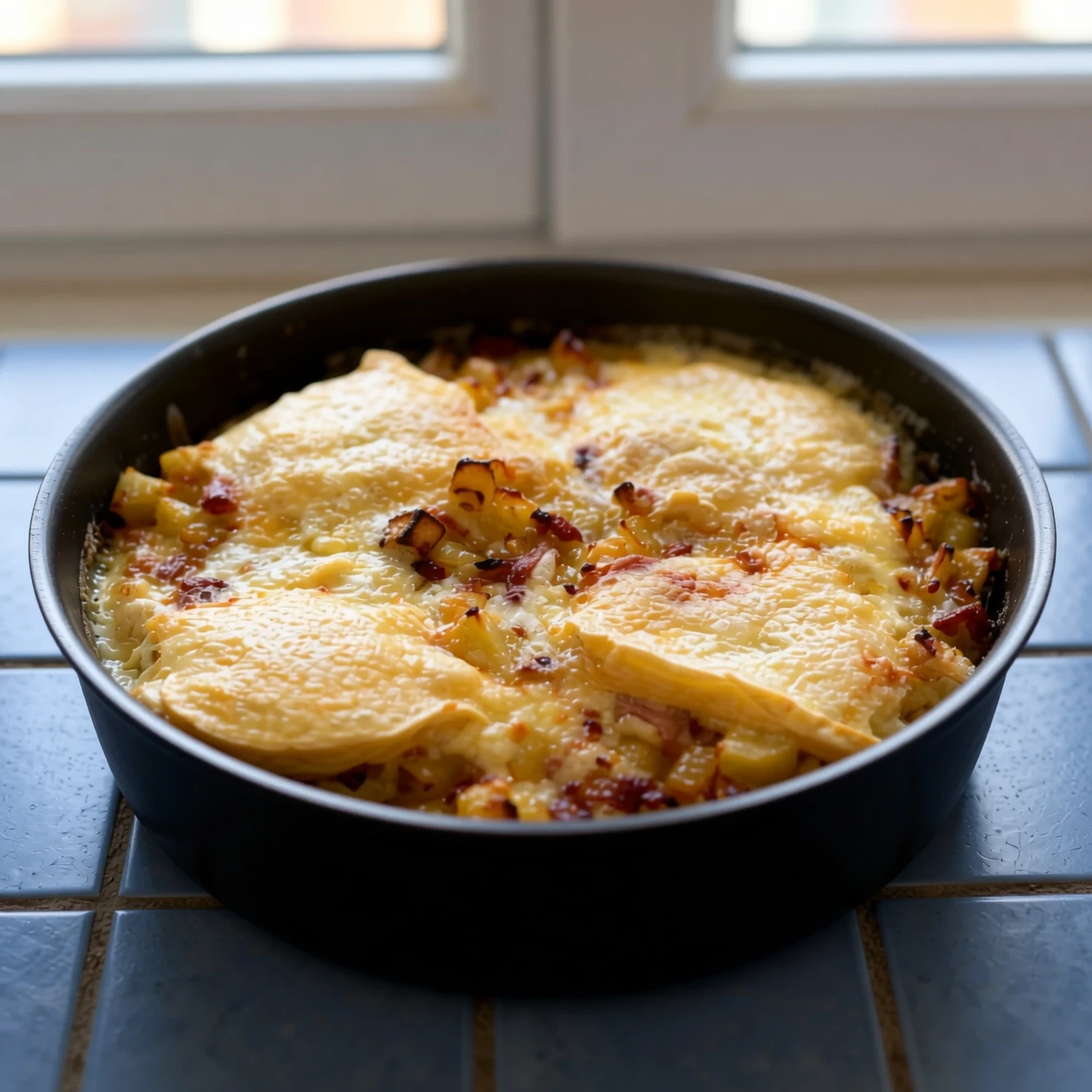
- Raclette — Traditional mountain restaurants in the valley
Melted cheese scraped over potatoes, cured meats and pickled onions, served hot from a half-wheel melter at the table. Plates are generous and the meal is slow, so it works well for a relaxed lunch. Look for it in traditional mountain restaurants in the valley.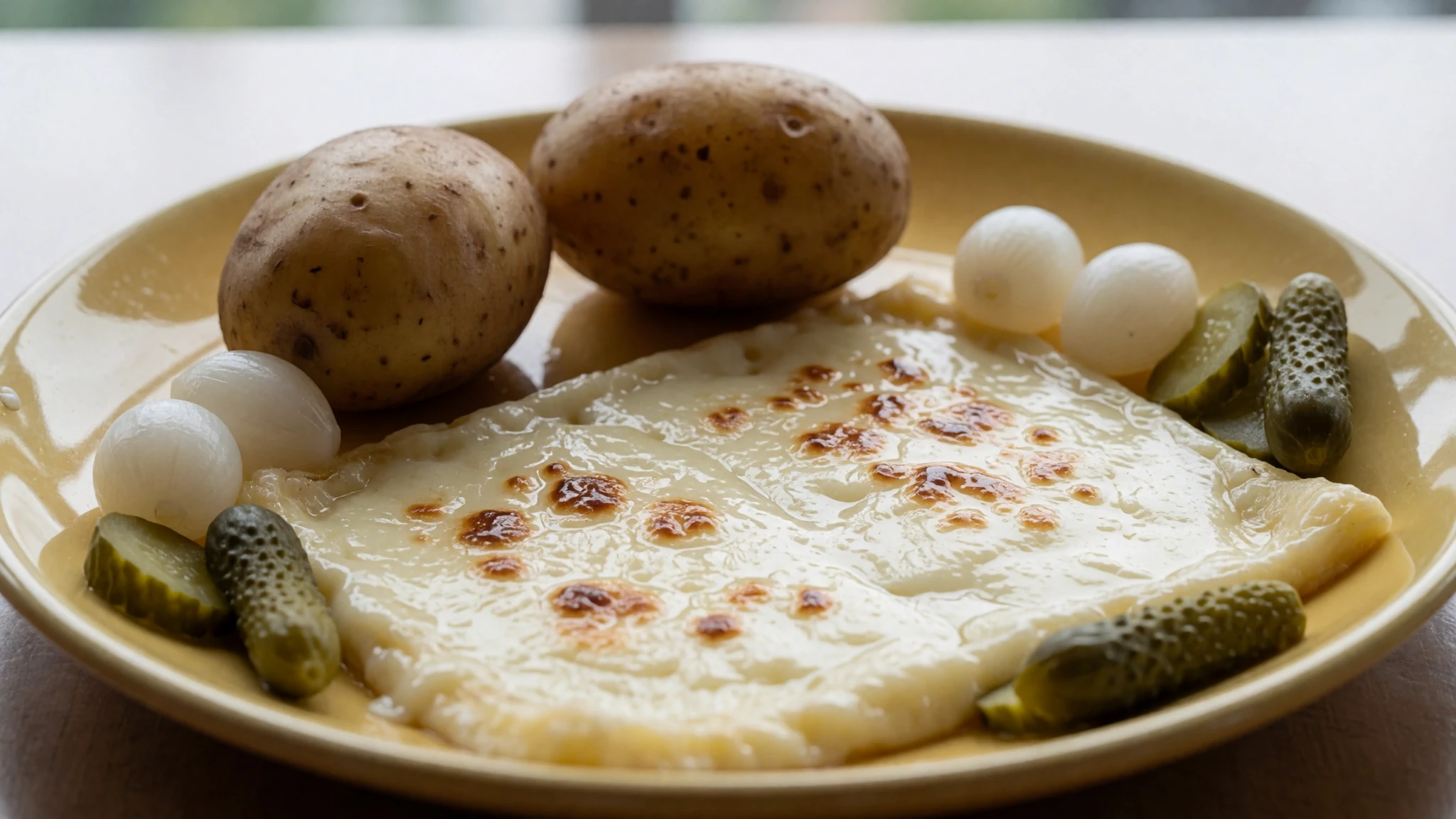
- Diots — Savoyard bistros in Haute-Savoie
Small smoked pork sausages cooked gently in white wine, usually served with potatoes or lentils. It is a plain Savoyard dish that shows how the valley cooks with local meat and wine. Look for it in bistros and small family-run eateries in Haute-Savoie.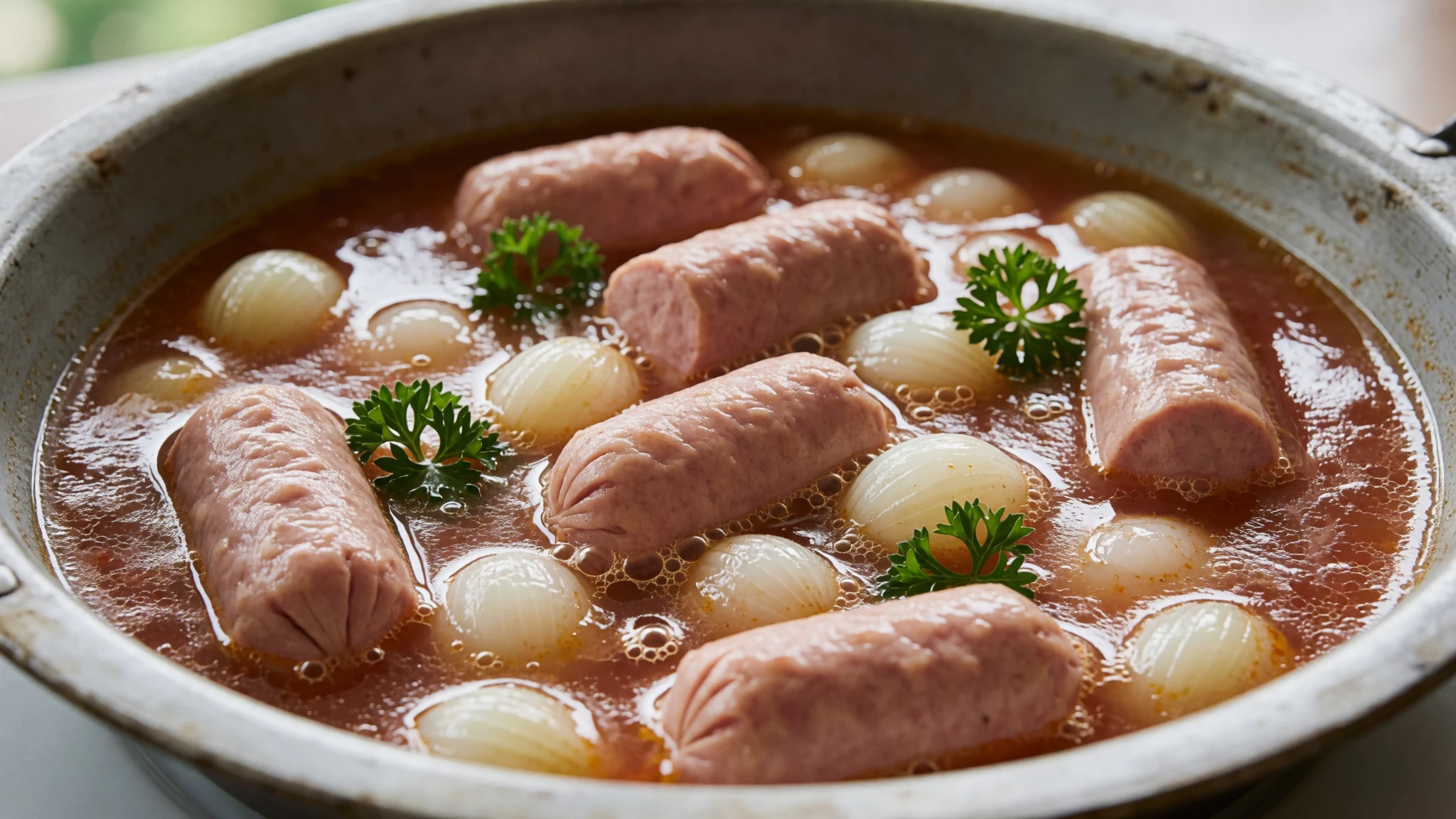
- Fontina — Cheese shops and restaurants in Courmayeur
A semi-hard cheese from the Aosta Valley, eaten with bread, polenta or melted into a fondue. It is the cheese to try on the Italian side, where it turns up on boards and in simple baked dishes. Buy it from a cheese shop or order it in a valley restaurant in Courmayeur. - Génépi — Mountain huts, bars and valley shops
A herbal liqueur made from Alpine plants, served small and cold after a meal. It is traditionally a digestif and remains a popular souvenir from the valley. Find it in mountain huts, bars and the shops of both valleys.
Plan it
Best time. July and August are the main climbing season, when the routes are busiest and most open, though the summit stays cold and weather can turn at any time. Winter brings skiing in the valleys, and snow lingers higher up in spring and autumn, so check conditions before committing to a route.
How long. 2–3
Getting there. Geneva Airport (GVA) is the usual choice, with transfer by bus, car or rail to Chamonix; Turin Caselle (TRN) is also close. Geneva to Courmayeur and Turin to Chamonix Valley both use the Mont Blanc tunnel.
Budget. mid
Tips
- Book a mountain guide well ahead for any summit attempt, and take one unless you already know the mountain
- Expect queues at the cable car stations in summer and go early on clear days
- Check the forecast the day before and again that morning, since the summit is prone to strong winds and sudden changes
- Carry navigation and mountaineering equipment, including ice gear, for anything beyond the cable car viewpoints
- Pack extra water and layers, because the cold feels sharper with altitude
Etiquette
- Stay on marked routes and follow your guide's instructions on the day
- Take your rubbish back down with you and leave huts as you found them
Nearby
Sources
- Wikidata Q583 (CC0)
- Wikipedia: Mont Blanc (rev 1379045329) (CC BY-SA 4.0)
- Wikivoyage: Mont Blanc (rev 5250114) (CC BY-SA 4.0)
- Photo: Panorama of Mont Blanc du Tacul, Mont Maudit and Mont Blanc from Aiguille du Midi (Christian David) (CC BY-SA 4.0)
- Photo: Mont Blanc together with Aiguille du Midi (Hseugut) (CC BY-SA 4.0)
- Photo: Mont Blanc (Hagai Agmon-Snir) (CC BY-SA 4.0)
- Photo: View of the southern side of Mont Blanc from Aguille Rouge (HartOve) (CC BY 4.0)
- Photo: Old map, 1823, Mont Blanc/Monte Bianco (unknown author) (Public domain)
- Photo: Extract from the 1869 Sardinian Atlas (French Wikipedia uploader) (Public domain)
- Photo: Vallot refuge near the summit (loki11) (Public domain)
- Photo: Tunnel Mont Blanc (Pannage) (Public domain)


