Meroë
Meroë, Sudan
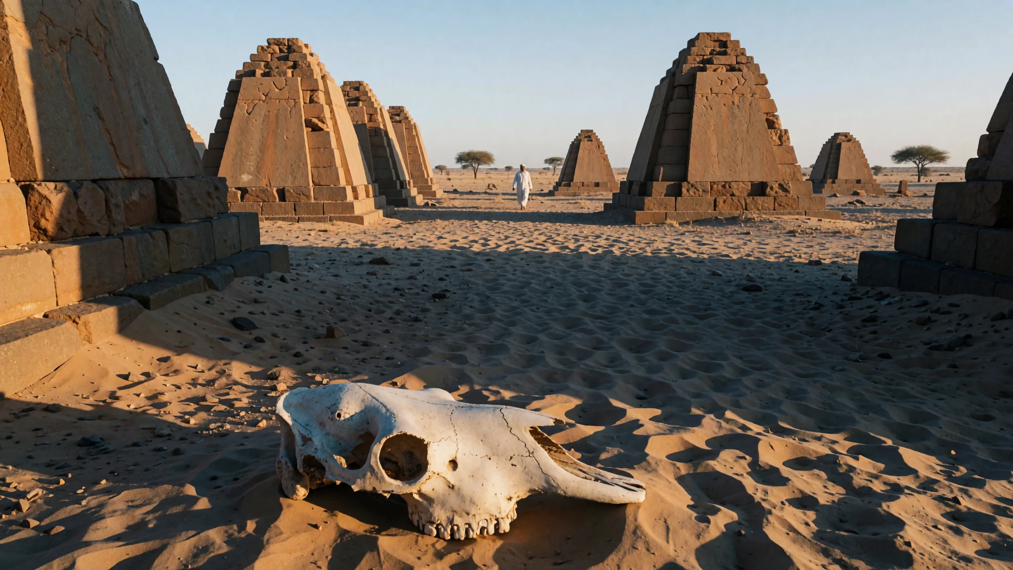
Meroë is a quiet, sun-scorched field of pyramids in northern Sudan, where royal tombs stand alone in the desert with few other visitors.
The place
Meroë sits on the east bank of the Nile in northern Sudan, roughly 200 km north-east of Khartoum. The ruins lie in open desert close to a cluster of small villages called Bagrawiyah, and the nearest town for most travellers is Shendi, about 35 km away. For several centuries, the city served as the seat of government for the Kingdom of Kush. Its name also belongs to the wider region of Butana, the land bounded by the Nile, the Atbara and the Blue Nile, which is sometimes called the Island of Meroë.
What you see today is mostly a cemetery landscape. The pyramids are small and steep-sided, set in long rows, and the burial grounds spread across three main areas. Between them they hold several dozen royal pyramids and hundreds of other tombs. The desert is flat, open and very hot for much of the year, so there is little shade and almost no facilities on the ground. That exposure is part of the experience. Early and late in the day you may have long stretches of the site to yourself, and the light on the stone is at its best then.
Plan for at least a few hours, bring water and a hat, and expect the approach roads to feel rough. The reward is the sight of a whole field of royal monuments against open sky, in a place that many visitors from abroad have never heard of.
Its story
Meroë served as the southern capital of the Kingdom of Kush, a state that developed along the middle Nile and ranks among the earliest sophisticated states on the African continent. For much of its history Kush was centred farther north at Napata. Around 591 BC, after an Egyptian ruler had plundered Napata, King Aspelta is generally credited with moving the court south, to a place farther from Egyptian reach.
Historians point to practical reasons for the choice. The land sat on the fringe of the summer rainfall belt, which made farming possible in a region otherwise dry. Iron ore and hardwood for smelting were close at hand, and trade routes ran toward the Red Sea. The river and its yearly flood supported the fields, and the pottery and iron work of the Meroitic kingdom grew from that base. The people also wrote in a script that scholars have only partly deciphered, so much of their own account of events remains unclear.
Royal burial shaped the city's identity. Many kings and queens were laid to rest at Nuri, while later rulers and royal women were buried in the Meroë cemeteries, and the pyramids became the visible record of who had ruled. The kingdom weakened over the centuries, and the city's life ended by the fourth century AD. What remained were the tombs, left to the desert wind and the occasional traveller.
What to see
- The northern cemetery — Northern cemetery, Meroë site
The northern cemetery is the largest group of royal monuments at the site, holding forty-four pyramids in total. Most belonged to kings, with six for queens and five for other royals, alongside a few smaller non-royal tombs. Walk along the rows in the early morning, when the stone is cool and the shadows make the steps easier to read.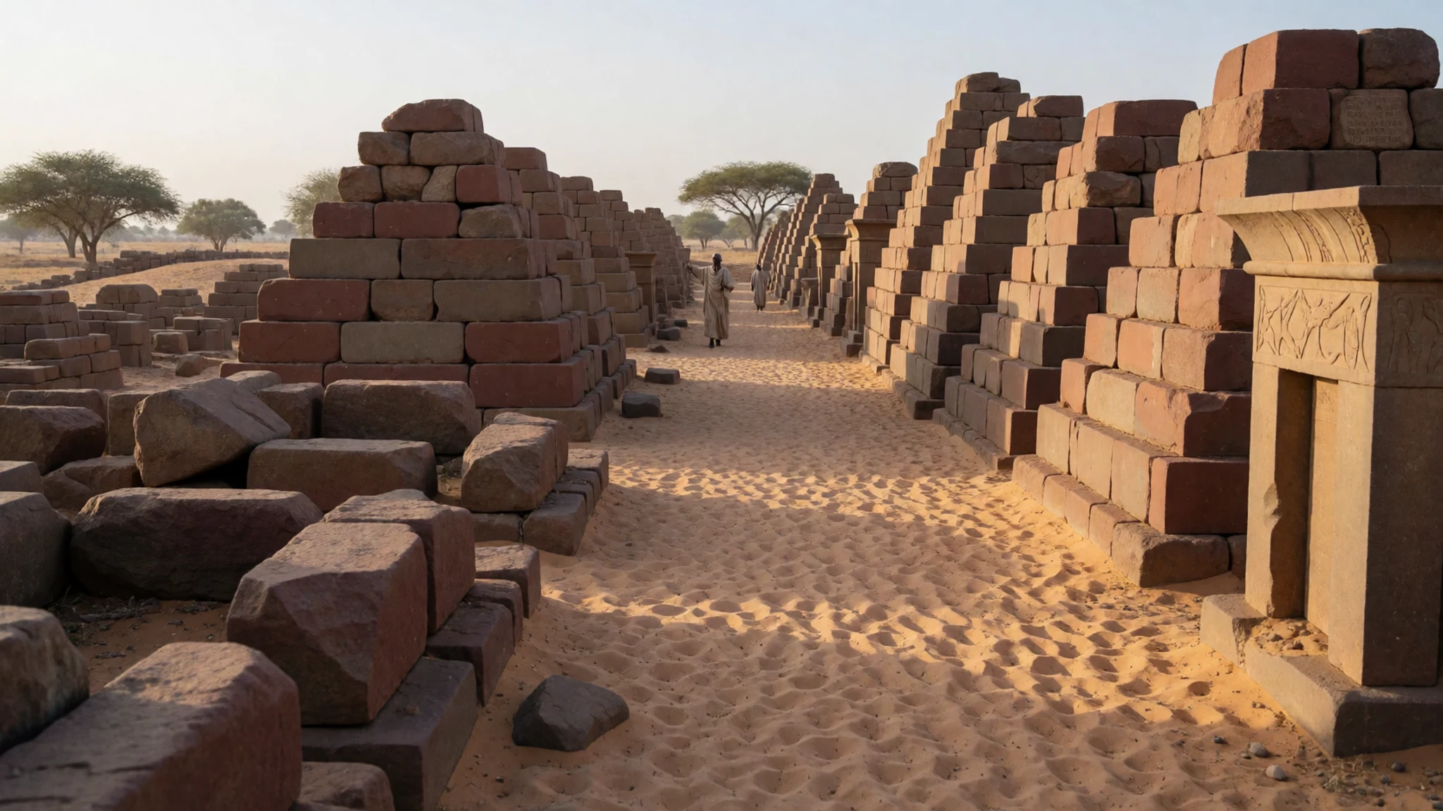
- The southern cemetery — Southern cemetery, Meroë site
The southern cemetery is smaller but has a clear royal character. It holds nine pyramids, four for kings and five for queens, and around one hundred and ninety-five other tombs surround them. It is quieter than the north, so it suits a slow walk with a guide who can point out the differences between the burial types.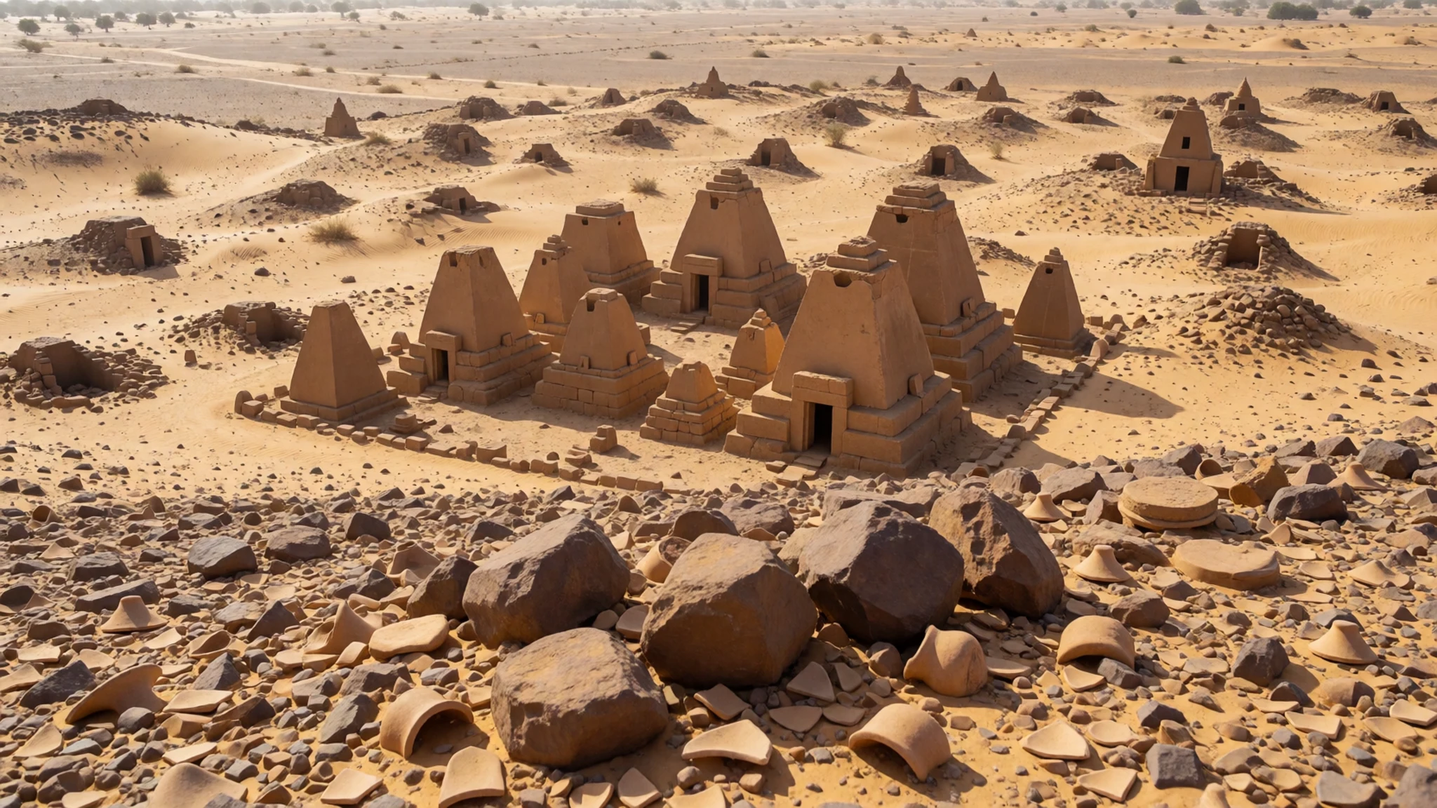
- The western cemetery — Western cemetery, Meroë site
The western cemetery is the non-royal part of the site, with about one hundred and thirteen tombs. It gives a different picture of the city, showing the burials of people who were not kings or queens. Go here after the pyramids to see how the ground looks outside the royal rows.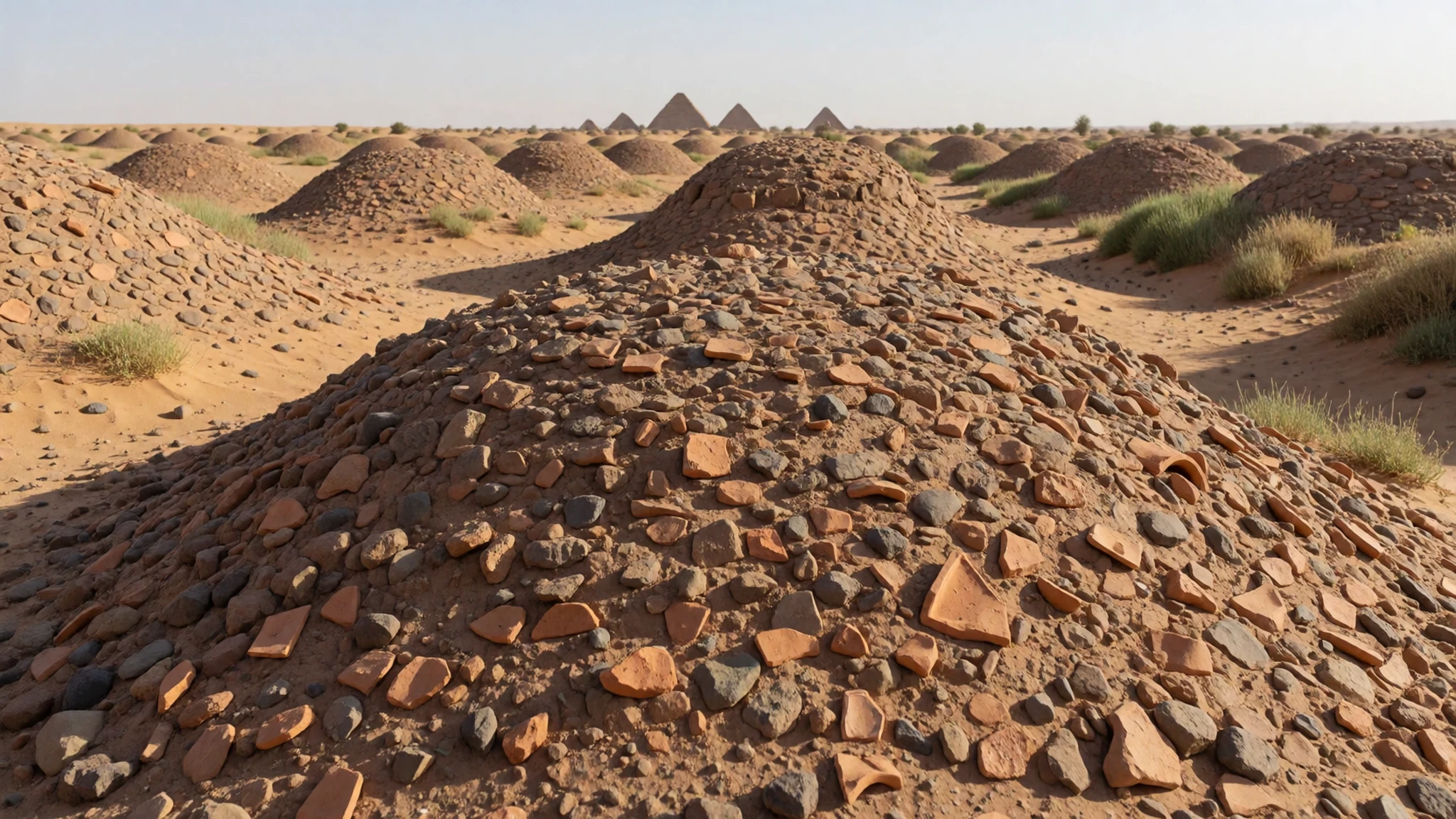
- The Bagrawiyah villages — Villages beside the site
The small villages collectively called Bagrawiyah sit beside the ruins and are the only real settlement near the site. There are few places to eat or sleep, so this is where you will find simple tea, water and a local welcome. Arrange a stop here before or after the ruins and ask about access on the way in.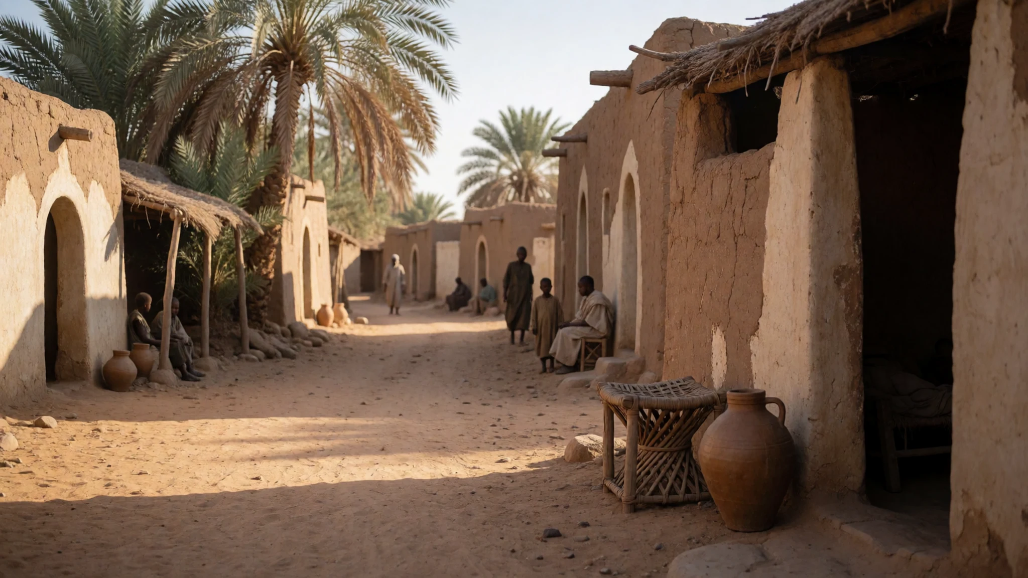
- Musawwarat es-Sufra and Naqa — Butana region, north-east Sudan
Two other Meroitic cities lie in the same Butana region, Musawwarat es-Sufra and Naqa. They are a longer drive and need a vehicle and a guide, so they suit a second day rather than a quick stop. Ask locally about current access before you set out.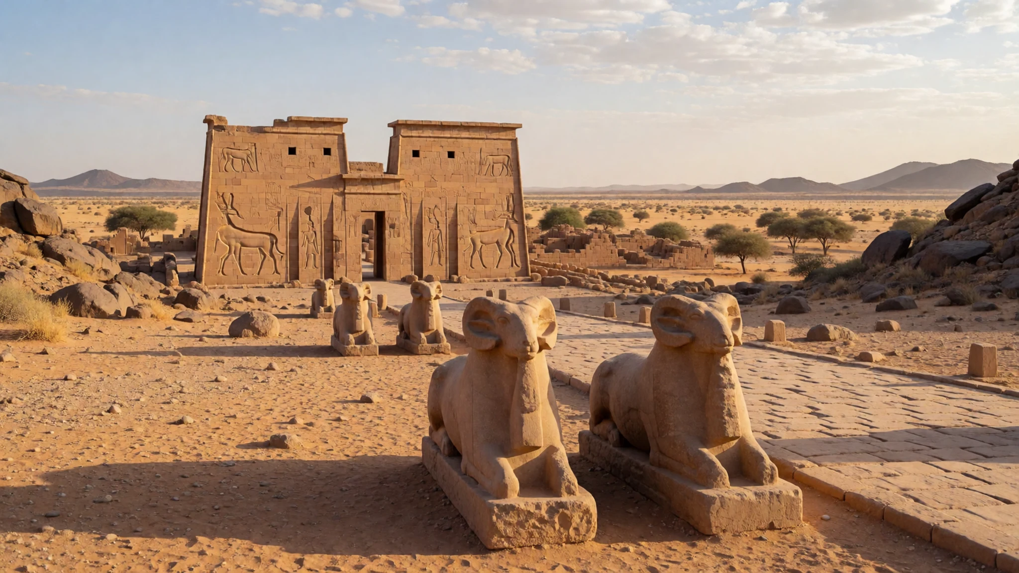
Culture
Sudan is a Muslim-majority country, and Meroë's visitors are mostly people from the surrounding region and occasional travellers, so manners matter. Greetings are important: take time with a handshake and the usual opening questions before you ask for anything. Modest dress is the norm in villages and in front of older people, and women may find that a headscarf makes conversations easier. Photography of people needs permission, and a smile plus a gesture toward your camera usually works better than assuming. Tea is often offered as a sign of hospitality, and it is polite to accept at least a cup before moving on. The ancient stones are fragile, and the tombs are sacred ground to many local families, so do not climb or sit on the pyramids and do not carry anything away from the site. Ask before photographing anyone in Bagrawiyah, and never take pictures of people at prayer.
What to wear
Traditional dress in Sudan centres on long, loose garments suited to heat and modesty. Women often wear the tobe, a long cloth wrapped over the body and shoulders, usually of cotton and sometimes patterned or with a bordered edge. Men commonly wear the jellabiya, a long, loose robe, often in plain cotton, with a white or patterned head cloth for formal occasions. Cotton is the core textile, chosen for breathability and easy washing in a dry climate.
At Meroë and in the nearby villages, people mostly wear these traditional styles or modern everyday clothes such as long skirts, trousers and loose shirts, depending on age and occasion. Younger people in towns may wear Western clothes, but long sleeves and covered legs remain the expectation in rural areas and at religious sites.
For a visit, choose loose cotton or linen in light colours, long sleeves and trousers or a skirt that falls below the knee. Carry a light scarf that can cover your hair and shoulders, which is useful in villages and near mosques. Wear sturdy closed shoes with good grip, since the sand and loose stone around the pyramids are hard on sandals, and bring a wide-brimmed hat and sunglasses.
What to eat
- Kisra — Morning and lunchtime eateries in Shendi and in the Atbara road towns
Kisra is a thin, soft flatbread made from fermented sorghum, rolled out and often served with a stew or a rich sauce. It is the everyday staple, and you will see it at family meals and in simple eateries. Eat it with your right hand, tearing off pieces to scoop up the stew.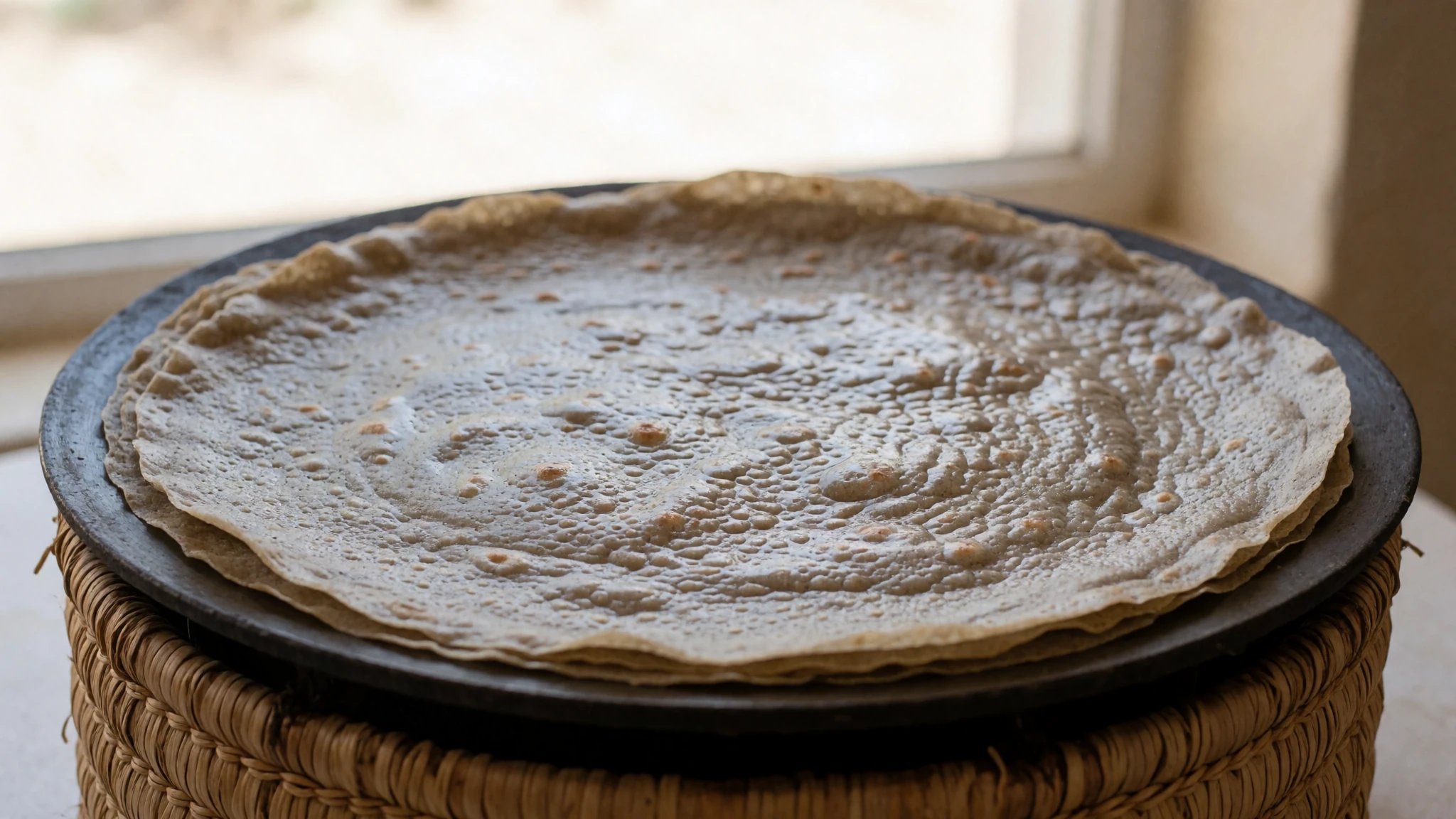
- Ful medames — Breakfast stalls near the market streets of Shendi
Ful medames is a warm dish of slow-cooked fava beans, mashed or left whole, seasoned with oil, lemon, cumin and chilli. It is a classic breakfast food in northern Sudan and makes a filling start before a morning at the site.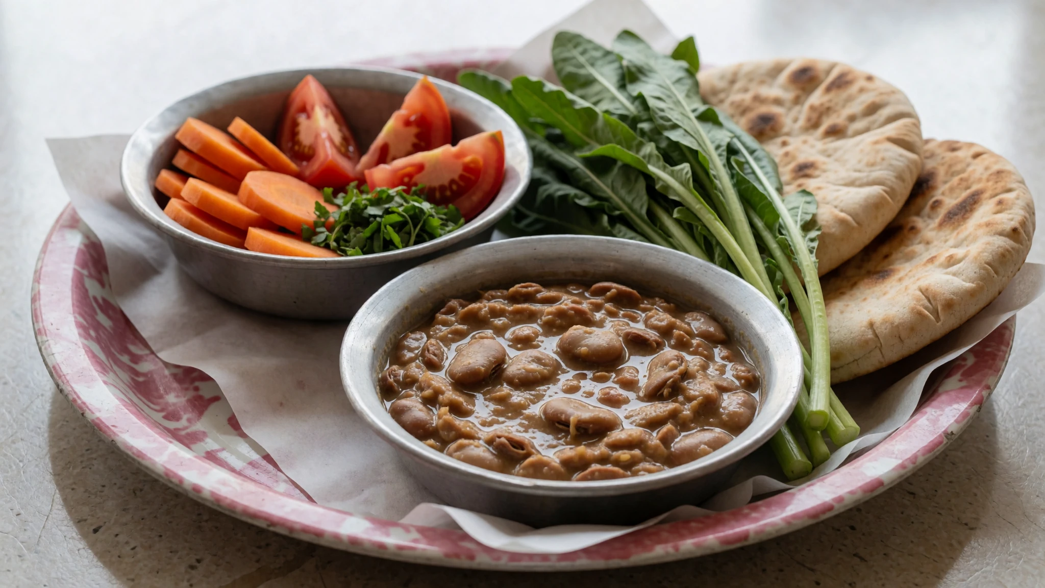
- Aseeda — Family kitchens and village tea stops around Bagrawiyah
Aseeda is a smooth porridge of sorghum or wheat flour cooked in water, often served with a pool of oil, butter or a sweet sauce. It is comforting and plain, and it is common at family gatherings and in village homes.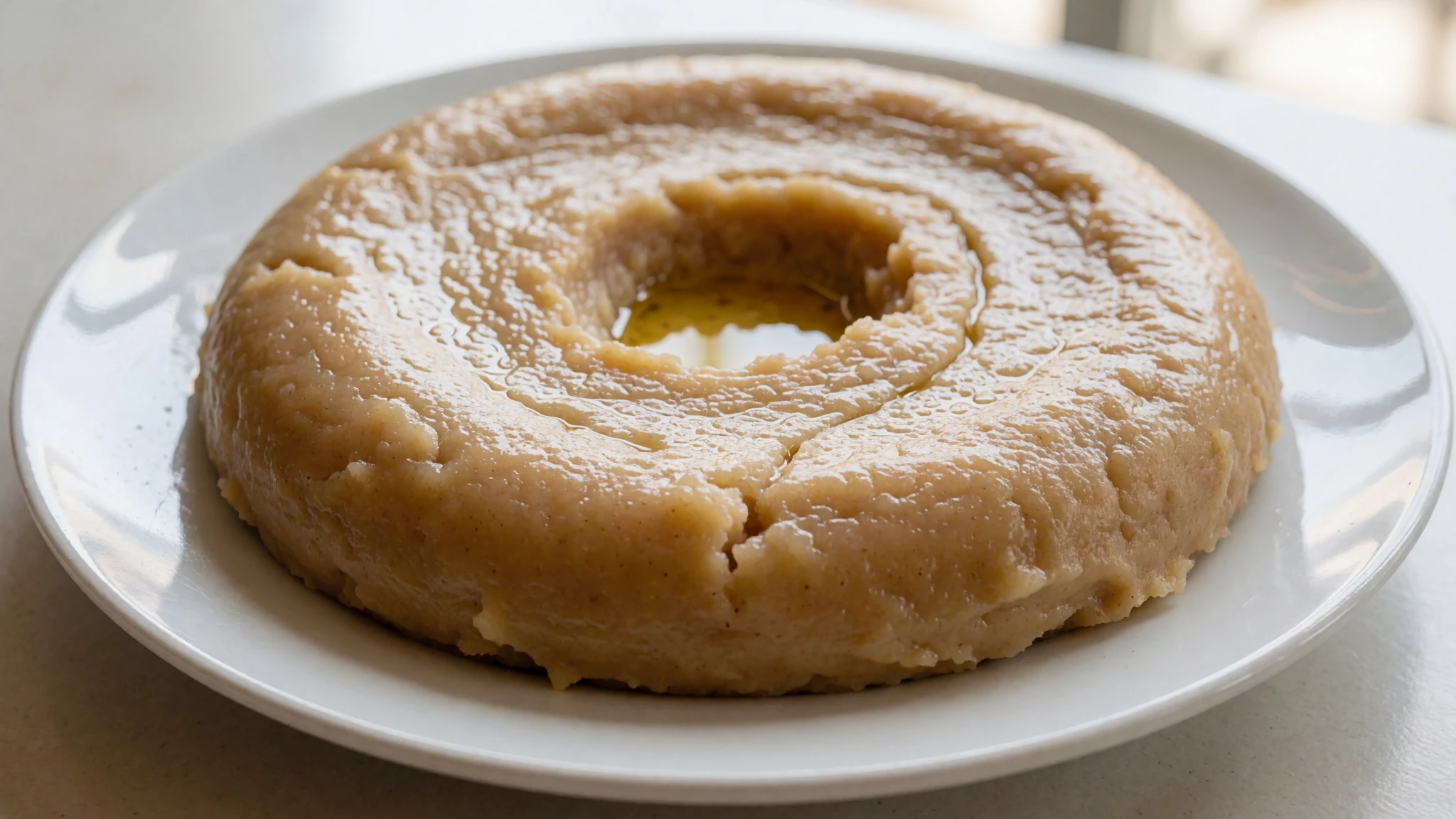
- Karkadeh — Juice stalls and small eateries along the main road
Karkadeh is a tart, deep-red drink made from dried hibiscus petals, served cold with sugar. It is refreshing in the heat and a welcome change from the tea that is usually offered first. - Grilled meat — Evening grill stands in Shendi and other roadside towns
Grilled meat, usually lamb or goat, comes as skewers or chunks cooked over charcoal and served with bread, onion and a spicy relish. It is the usual evening meal in towns, where a grill makes a good end to a hot day.
Plan it
Best time. November to February is the most comfortable window, with cooler nights and the least intense heat. From March the heat stays high, peaking in May, and the summer rains in July and August bring heavy humidity, so the site is best avoided then.
How long. 1–2
Getting there. Drive from Khartoum on the road north-east, about 200 km. Buses from Khartoum and Atbara pass the pyramids, so ask to get off at Bagrawiyah. The nearest airport is at Shendi, about 45 km south-west, but it has no regular commercial flights, so only charter arrangements are possible.
Budget. low
Tips
- Start early, before the sun gets strong, and leave the middle of the day for rest
- Carry plenty of water, sun cover and a sun hat, as shade is scarce
- Bring cash in Sudanese currency, as cards are not reliable in villages and small towns
- Camping is permitted in the desert but not within 100 m of any pyramid
- Check current permit and access rules with the Sudanese authorities before you travel
Etiquette
- Ask before photographing people, especially women and families
- Do not climb, sit on or lean against the pyramid stones
- Dress modestly and carry a scarf for villages and religious sites
Nearby
Sources
- Wikidata Q5780 (CC0)
- Wikipedia: Meroë (rev 1380753731) (CC BY-SA 4.0)
- Wikivoyage: Meroë (rev 5311741) (CC BY-SA 4.0)
- Photo: Eastern Hemisphere in 200 BC, Thomas A. Lessman (CC BY 3.0)
- Photo: Karkamani's pyramid, Nuri, Sue Fleckney (CC BY-SA 2.0)
- Photo: Jewelry from the Mummy of Nubian King Amaninatakilebte, Hans Ollermann (CC BY-SA 2.0)
- Photo: Found in pyramid No. 4 at Nuri, Matthias Gehricke (CC BY-SA 4.0)
- Photo: The Archer King, National Museum of Sudan, Sue Fleckney (CC BY-SA 2.0)
- Photo: Pyramids of Meroe, Northern Cemetery, Ron Van Oers (CC BY-SA 3.0 igo)
- Photo: Necklace of gold pendants, Hans Ollermann (CC BY-SA 2.0)
- Photo: Golden Bracelet, Gebel Barkal, Hans Ollermann (CC BY-SA 2.0)


