Marble Caves
Marble Caves, Chile
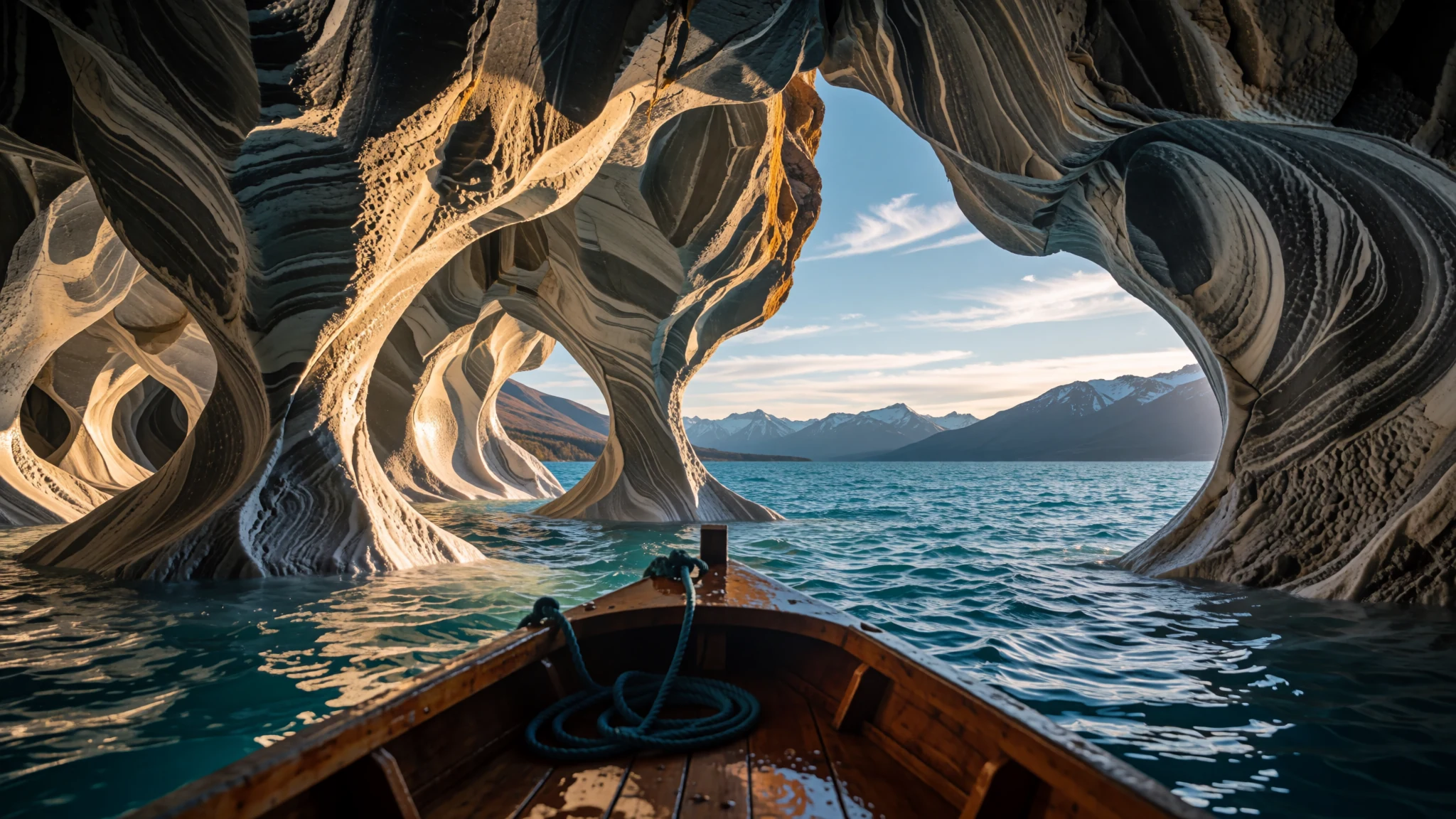
Marble Caves on General Carrera Lake: sculpted marble arches and chapels carved by water into Patagonian stone, best seen by boat in southern summer.
The place
The Marble Caves, known in Spanish as Catedral de Mármol, sit on the shoreline of General Carrera Lake in the Aysén region of southern Chile. On the Argentine side the same water is called Lake Buenos Aires. The lake is deep and glacial in origin, hemmed in by the Andes, and it drains west to the Pacific through the Baker River. Its bottom lies 350 metres below sea level, a result of a long downward fault block that ice has since reshaped.
The caves are a cluster of caverns, columns and tunnels cut into blocks of marble near the middle of the lake's length. Three parts are usually described together: the caves themselves, the Marble Chapel and the Marble Cathedral. The shapes are the work of waves. Water has been wearing the layered rock for about 6,200 years, and the walls keep changing as the lake level shifts.
The surrounding land is mostly open sheep country, and the shore is quiet. Settlements such as Puerto Río Tranquilo, Chile Chico and Puerto Ingeniero Ibáñez line the water, and a car ferry links the two Chilean shores. Anglers come for trout and salmon. The weather in this part of Patagonia is usually cold and damp, but the lake has a sunnier microclimate, so the caves reward visitors who plan around a clear day.
Its story
The Marble Caves owe their form to a lake whose history runs far deeper than any village on its shore. General Carrera Lake was shaped by glaciers and sits in a trough where the ground dropped along faults over a very long span of time. The water has carried several names. Chileans and Argentines use different official names for it, while the older name from the Aonikenk language, Chelenko, means roughly stormy waters, a fitting description for a lake that can turn rough quickly under strong wind.
Later, criollos and European immigrants settled the shore country in the early twentieth century, and sheep farming became the backbone of local life. That economy was hit hard when eruptions of the Hudson Volcano spread ash over the grazing land. Mining also left a mark. Lead and zinc were extracted from the northwestern shores at Puerto Cristal, but only in fits and starts across most of the twentieth century.
The marble itself has a longer story. The rock beneath the lake records the slow subduction of a plate junction over about 20 million years, traced in ripple marks in the southern shoreline sediments. Along the shore, waves have carved the marble into chapels and channels over roughly 6,200 years. Those forms are young in geological terms, and the process is still ongoing.
What to see
- Marble Caves boat trip — Lake shoreline near the midpoint of General Carrera Lake
Most visitors reach the caves by boat, usually from the village of Puerto Río Tranquilo, because the formations are best seen from the water. Boats slip between marble walls where the light shifts from grey to pale blue as the sun moves. Trips run in the drier months, but the water can be choppy when the wind rises, so ask the operator about conditions before you set off.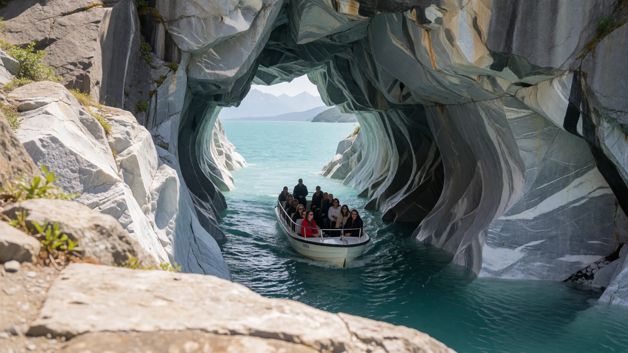
- Marble Chapel — Same shoreline stretch as the Marble Caves
The Marble Chapel is a rounded chamber whose walls and ceiling have been smoothed by water into something resembling a stone church interior. Boats often slow here so passengers can look inside. In calm weather, reflected light from the lake lifts the marble and gives the walls a soft glow. The rock is wet and slippery near the water, so take care when stepping off.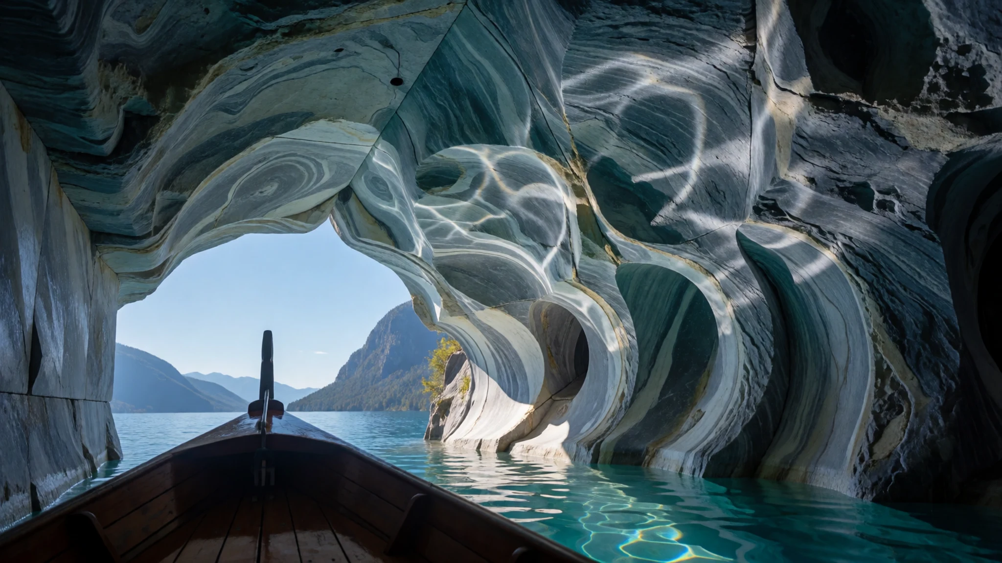
- Marble Cathedral — Same shoreline stretch as the Marble Caves
The Marble Cathedral is a tall, arched section of the formation with layers of stone clearly visible in its walls. Geologists read these folded beds as an anticline, an upward fold in the rock. The high, vaulted look gives the feature its name. Photographs are easier in the morning, when light falls on the face of the marble rather than leaving it in shadow.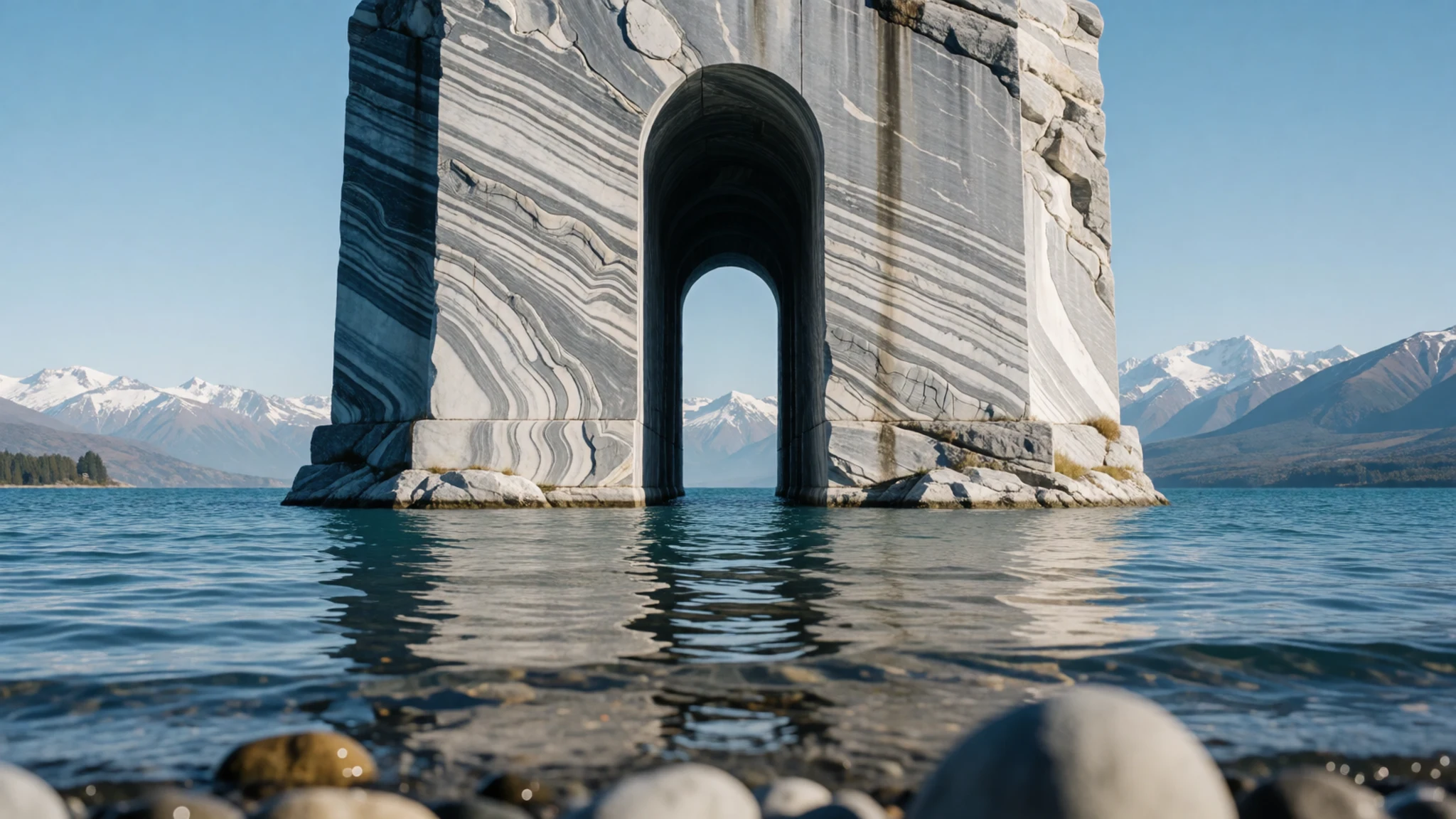
- Lake shore road — Lake shore roads on the Chilean side, between Puerto Río Tranquilo and Chile Chico
The road beside the lake gives the widest views of General Carrera, with the Northern Patagonian Ice Field rising in the distance on clear days. Pull over at gravel turnouts and watch how the water changes colour between bays. Traffic is light, so slow driving and cycling are both pleasant. Fuel and food can be scarce between villages, so fill up before leaving a town.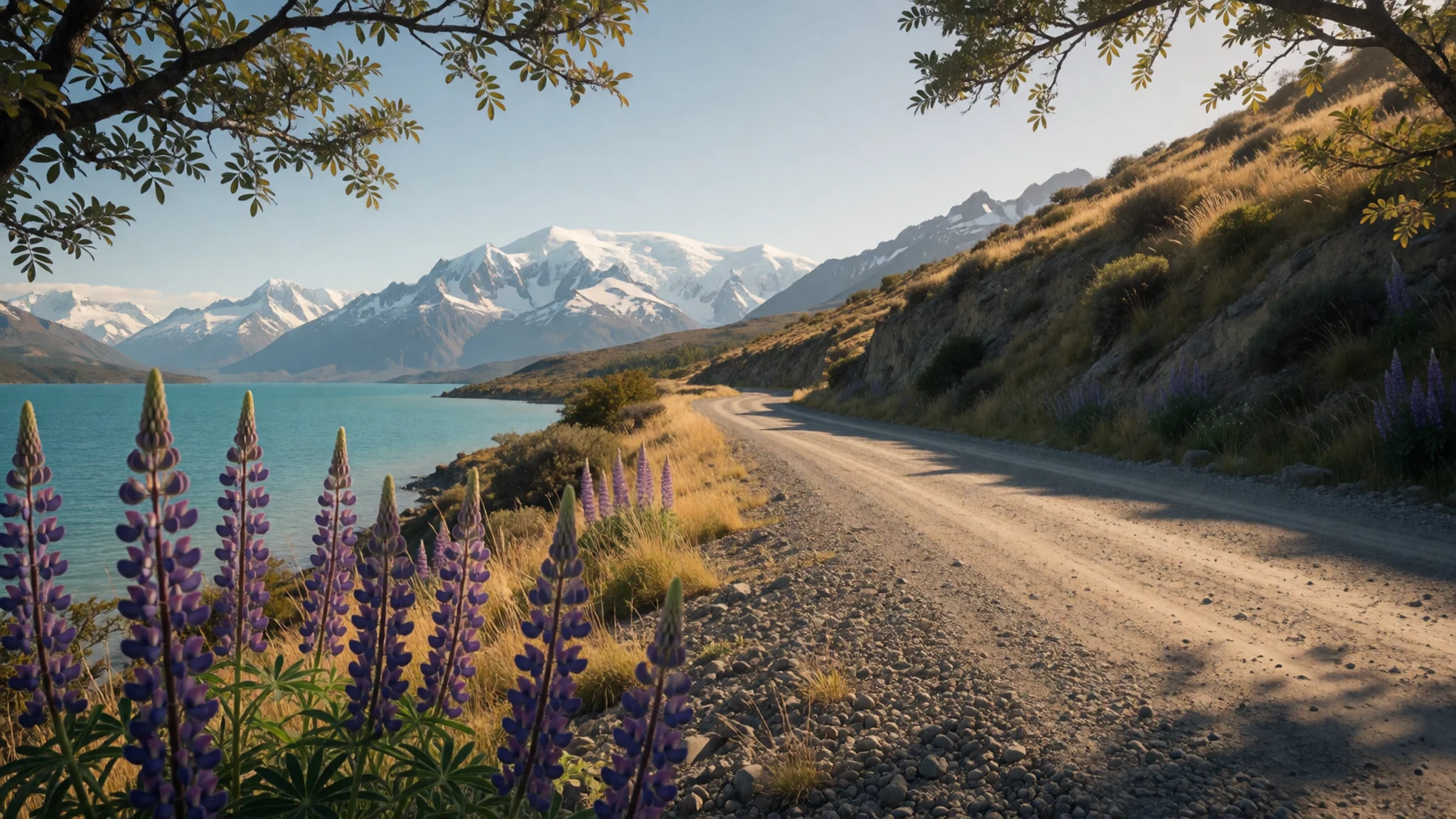
- Puerto Río Tranquilo — Lakeside village on the route to the caves
Puerto Río Tranquilo is a small lakeside village where many boat trips to the caves depart. It has a handful of guesthouses, simple eateries and boat operators, and a quiet pace that suits a slow morning by the water. Services are basic compared with a city, so arrange boats and beds ahead in the busy months.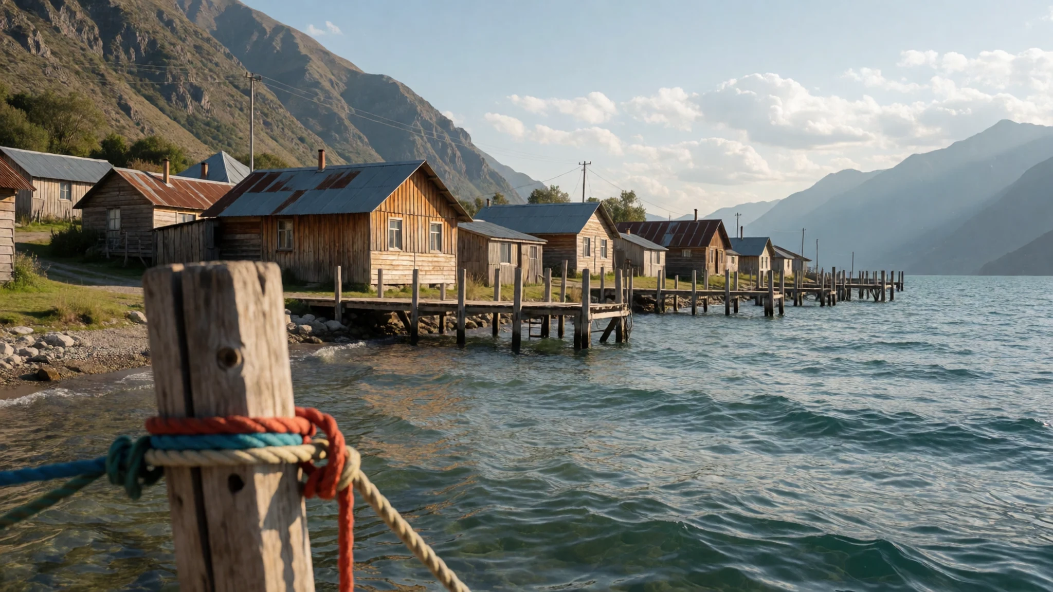
Culture
The Marble Caves sit within a landscape that people have worked and named for generations. Before European settlement, Indigenous peoples including the Aonikenk moved through this country, and the lake's older name, Chelenko, comes from their language. Later, criollos and European immigrants settled the shore, and sheep farming shaped daily life. Fishing for trout and salmon remains a major pursuit, and the car ferry between Puerto Ingeniero Ibáñez and Chile Chico is a working link for local people as well as visitors. Communities here are small and close-knit, and many families have lived through hard years when volcanic ash ruined grazing land, so they value steady visitor trade but also guard their quiet rural routines. Ask before photographing people at work on boats or farms, and keep to the paths and boat landings so the marble and the shore stay undamaged for the next visitors.
What to wear
Around the Marble Caves, traditional dress belongs to the rural world of Patagonian sheep country and the older Indigenous cultures of the region. Wool has always been the main textile. Shepherds and farmhands traditionally wore heavy woven wool and knitted jumpers, and the chamanto, a woven woollen shawl associated with central Chile, appears in rural communities further north. Indigenous peoples of Patagonia historically made cloaks from guanaco hide and fur, a practice now seen mainly in museums and craft work.
Today people on the lake shore dress for weather and work. Fleece, wool jumpers, waterproof shells and sturdy work boots are common, and the rural style of hats and boots is still everyday wear in farm towns. Tourist gear mixes in easily, so you will rarely feel out of place in practical outdoor clothes.
For a visit to the caves, dress in layers you can add or remove quickly. Bring a waterproof jacket, a warm hat and gloves even in summer, because boat decks catch wind. Choose footwear with good grip for wet rock and slippery boat steps. Sunglasses and sunscreen matter too, since the lake can be bright when the sky clears.
What to eat
- Cordero patagónico — A parrilla or rural asado in the larger towns of the Aysén region
Patagonian lamb, slow-roasted over wood on a spit or grill, is the region's signature dish and a reminder of the sheep economy. The meat is served with bread, salads and a simple chimichurri. Ask for it at a parrilla or a rural asado, often in the larger towns of the wider Aysén region.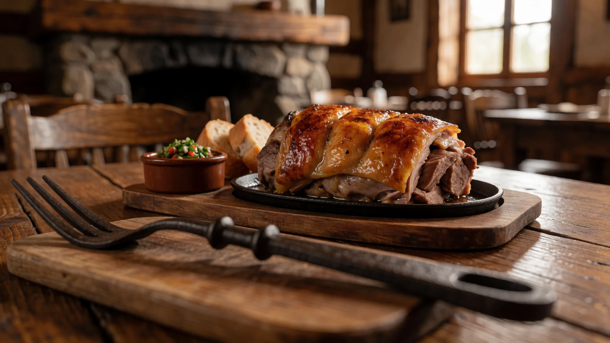
- Lake trout and salmon — Lakeside eateries in Puerto Río Tranquilo and along the Chile Chico shore
The lake is known for trout and salmon fishing, so fish is often on the menu. Grilled or pan-fried trout is simple and fresh, and the best versions come from places that buy from local anglers. Eat it at a lakeside eatery where the boats tie up.
- Empanadas — Bakeries and panaderías in any village along the lake
Baked or fried pastries with a filling of beef, cheese or seafood are the everyday snack. They are a good, cheap lunch on a day of boats and long lake views. Pick them up warm and eat them on the move.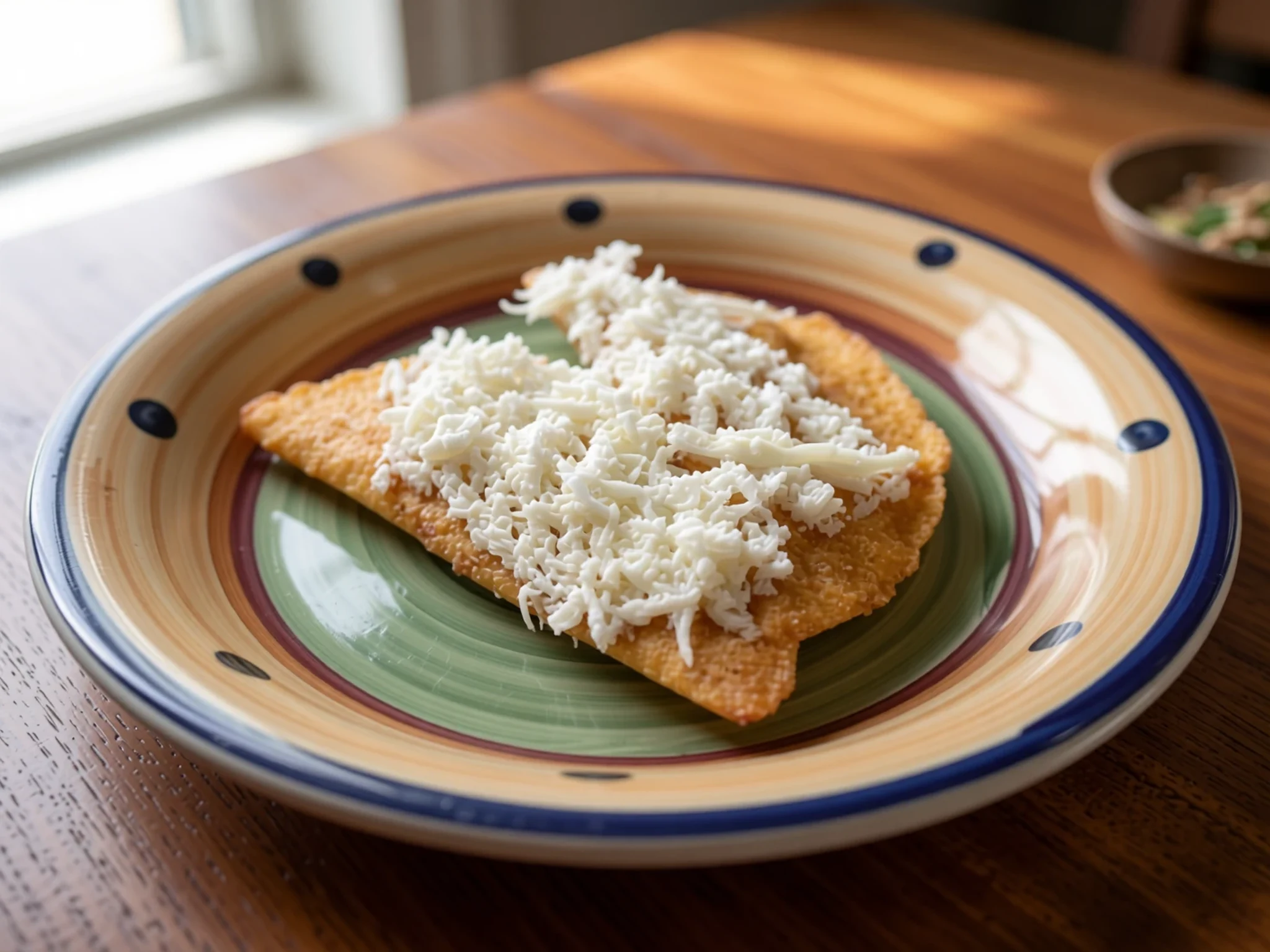
- Calafate — Village shops and craft stalls along the lake road
Calafate is a dark blue berry native to Patagonia, and it turns up as jam, ice cream and sweets. Its tart, sweet flavour is distinctly regional. Look for it at village shops and craft stalls, where small jars make practical gifts. - Mate — Roadside pull-outs, village shops and any farm gate with a kettle
Mate is the bitter herbal tea shared from a gourd through a metal straw. It is a social drink rather than a meal, and locals carry thermoses of hot water on long drives. Accepting a cup is a friendly gesture, and you can buy the leaves and gourd in shops to take home.
Plan it
Best time. December to March brings the longest days and the most reliable sun, when the lake's sunnier microclimate is most likely to show itself. Shoulder months are cooler and wetter, and winter is cold and often grey, with fewer boats running.
How long. 1–2
Getting there. Balmaceda's airport, near Coyhaique, is the nearest air hub. From there, take a bus or hire a car along the Carretera Austral to the lake shore, with Puerto Río Tranquilo as the usual base for boats to the caves.
Budget. mid
Tips
- Book boat seats a day or two ahead in summer, when the trips fill up
- Start early for calmer water and clearer light on the marble
- Carry cash for small village shops and some eateries, as cards are not always accepted
- Fill the fuel tank and carry water and food between villages, because services are sparse
- Check the weather and wind forecast before committing to a boat trip
Etiquette
- Stay on marked paths and boat landings
- Do not climb on, chip or take pieces of the marble
- Ask before photographing people at work on boats or farms
Nearby
Sources
- Wikidata Q5758501 (CC0)
- Wikipedia: Catedral de Mármol (rev 1368781240) (CC BY-SA 4.0)
- Wikivoyage: Marble Caves (CC BY-SA 4.0)
- Photo 01 Catedraldemarmol.jpg, Dentren (CC BY 3.0)
- Photo 02 Lago Gral. Carrera 01.jpg, Jorge Morales Piderit (Public domain)
- Photo 03 ChileChico-001.jpg, unknown author (CC BY-SA 2.0 de)
- Photo 04 13880437033 - Flickr - .sugar.kane..jpg, Paula (CC BY 2.5)
- Photo 05 Al interior de las Cuevas de Mármol.jpg, Felipe Andres Lopez Estay (CC BY 3.0)
- Photo 06 Cabeza de perro, capilla de Mármol.jpg, Carlos Jorquera (CC BY 3.0)
- Photo 07 Capilla de Mármol - Patagonia (9224983868).jpg, Gabriel Urrutia Galaz (CC BY-SA 2.0)
- Photo 08 Capilla de Mármol 2017.jpg, Sissssou (CC BY-SA 4.0)


