Malolotja Nature Reserve
Malolotja Nature Reserve, Eswatini
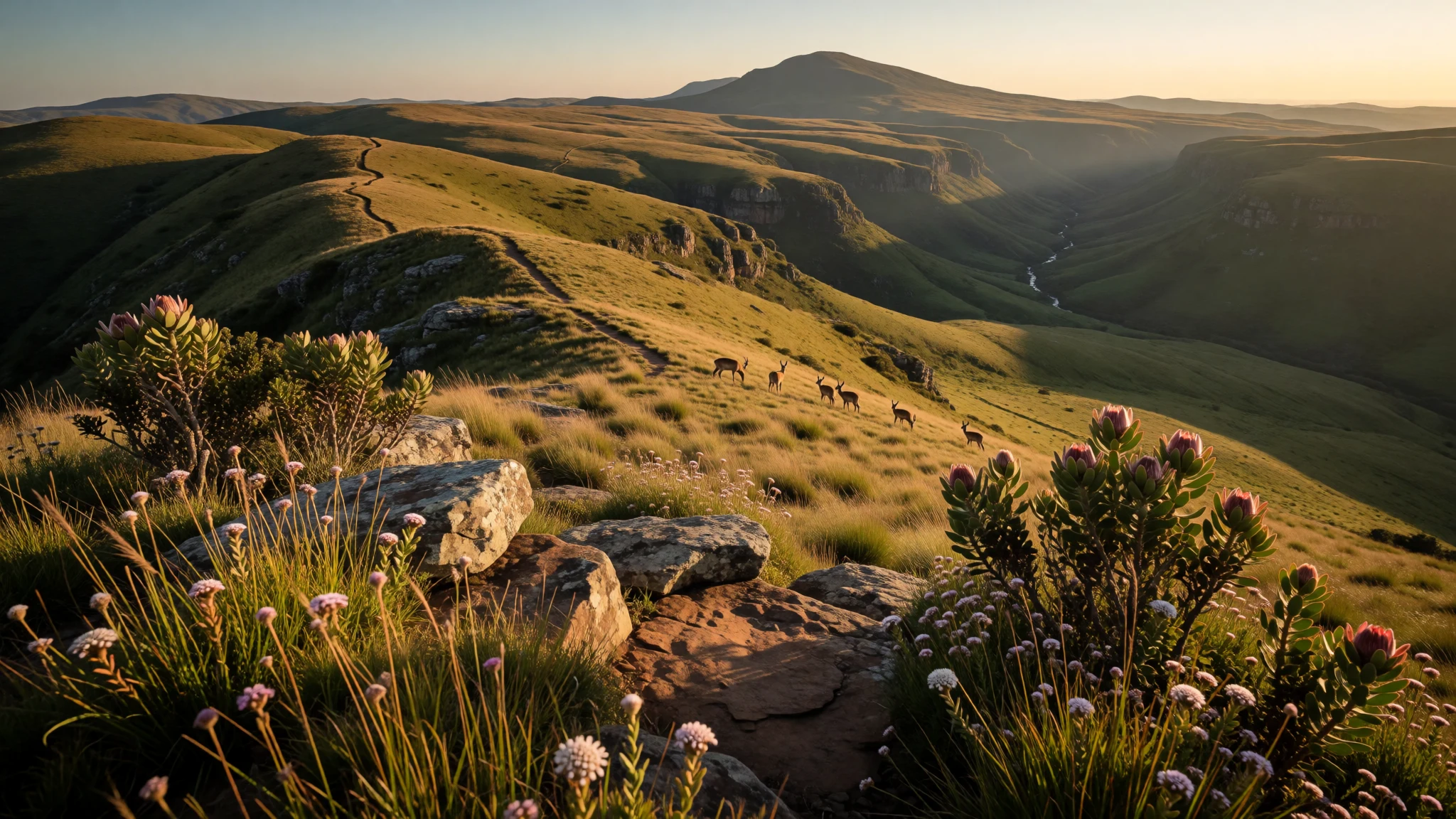
Malolotja Nature Reserve is a mountain-and-water landscape for people who like hiking days, layered habitats, and waterfall country.
The place
Malolotja Nature Reserve (often talked about as Malolotja National Park) sits on Eswatini’s northwestern border area, forming a rugged, high-country slice of southern Africa. The setting is defined by altitude changes and that makes the scenery feel varied even on a single drive or short walk: open grassland gives way to thicker river vegetation, with bushveld and cooler forested pockets higher up.
A big part of the draw is the water system. Streams and the Malolotja River carve through the reserve and tumble over multiple falls, with Malolotja Falls singled out as the highest waterfall in Eswatini. Between viewpoints, short paths and longer routes, the route-to-reward rhythm is clear: you start with ridge views, then work your way towards gullies and river lines where humidity rises.
The park also sits within a bigger conservation picture on the border. Malolotja adjoins Songimvelo Game Reserve in South Africa, and together they’re managed as the Songimvelo–Malolotja Transboundary Protected Area (often called a Peace Park). That wider landscape matters for wildlife expectations too: in the right places and at the right times, you may spot small antelope and birds in the habitats that suit them.
In practical terms, Malolotja rewards patience rather than speed. There’s limited road inside the reserve, so travel by foot (and sometimes by vehicle on rough tracks outside the main road network) is usually part of the experience. Plan for a full day outdoors: bring layers, expect changeable weather, and accept that the “quiet” factor depends on the season.
Its story
Malolotja’s story begins with protection work in the early 1970s, when the Swaziland National Trust Commission flagged parts of the country as priorities for conservation. The Malolotja area, stretching from Ngwenya Mountain in the south towards Bulembu Mountain in the north, was assessed as a candidate because it did not fit well as high-return farmland.
At the time, much of the land involved sheep grazing concessions and significant portions were privately owned. That matters historically because it shaped how the reserve came to be: the area’s agricultural potential was limited, and approval was tied to resettlement of residents on better agricultural land nearby, rather than simply removing communities.
The process was guided by royal authority through King Sobhuza II, with Chief Bhekimpi assigned as a key figure for the project’s groundwork. Once those decisions were made, the reserve proposal moved from idea to action, supported by the view that protection would be more sustainable than extensive grazing or cropping.
Today, that conservation origin still shows in the feel of Malolotja. The landscape is structured around habitat types—grassland, riverine thickets, bushveld and Afro-montane forest—that were worth safeguarding because the terrain creates natural variety. Trails and viewpoints feel like they’re designed to help people read those habitats rather than race through them.
If Malolotja feels gently “managed but wild,” it’s because its founding logic leaned towards long-term protection of marginal land and fragile water systems—especially around the river and its many waterfalls.
What to see
- Nkomati Viewpoint — Nkomati area (near the river line)
Nkomati Viewpoint is a place to pause and scan for life in the mountains. Short walks nearby help connect viewpoints to habitat, so it’s a good stop when conditions are changeable. Wildlife possibilities include mountain reedbuck, grey rhebok and klipspringer around the right vegetation pockets.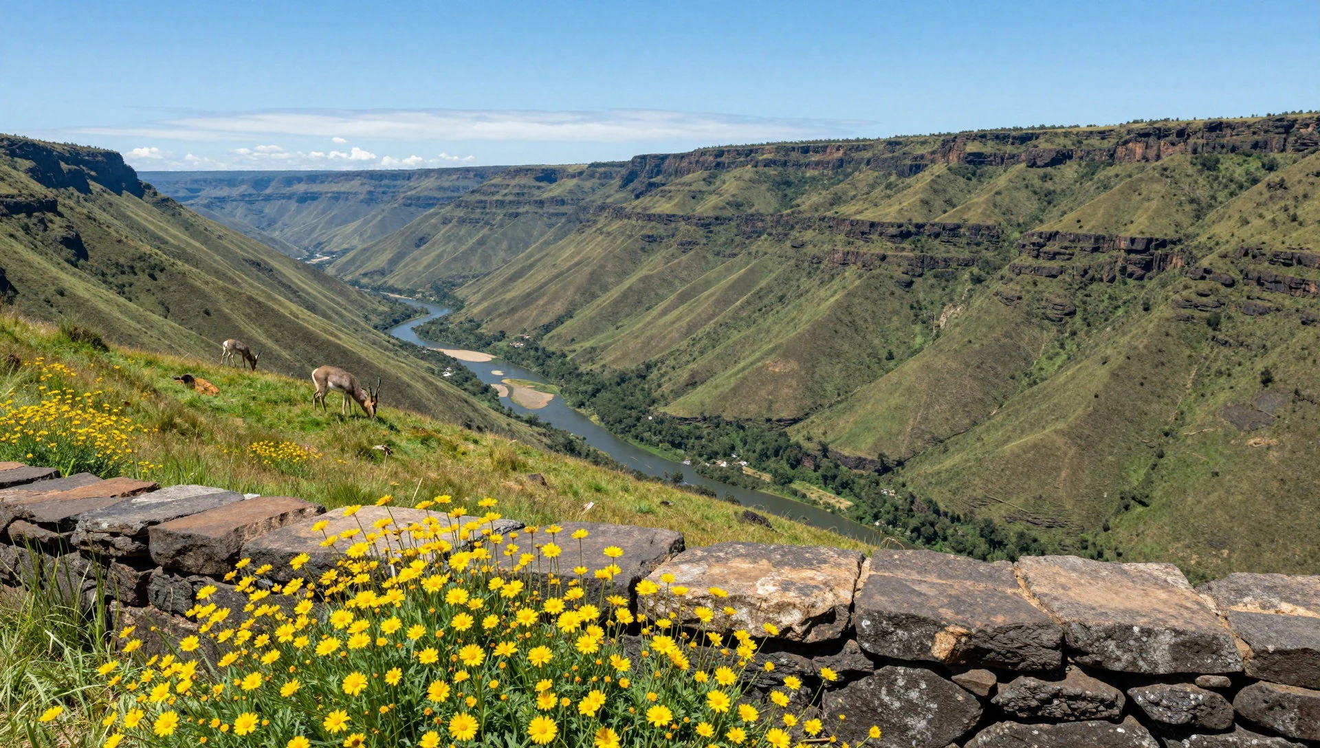
- Malolotja Canopy Tour — Malolotja Reserve (tree-canopy course area)
The canopy tour is a structured way to experience Malolotja’s forest edge and slopes without committing to a full trekking day. It’s built around ziplining, so it has a clear time block and an energetic vibe. Plan it for a day when weather is stable.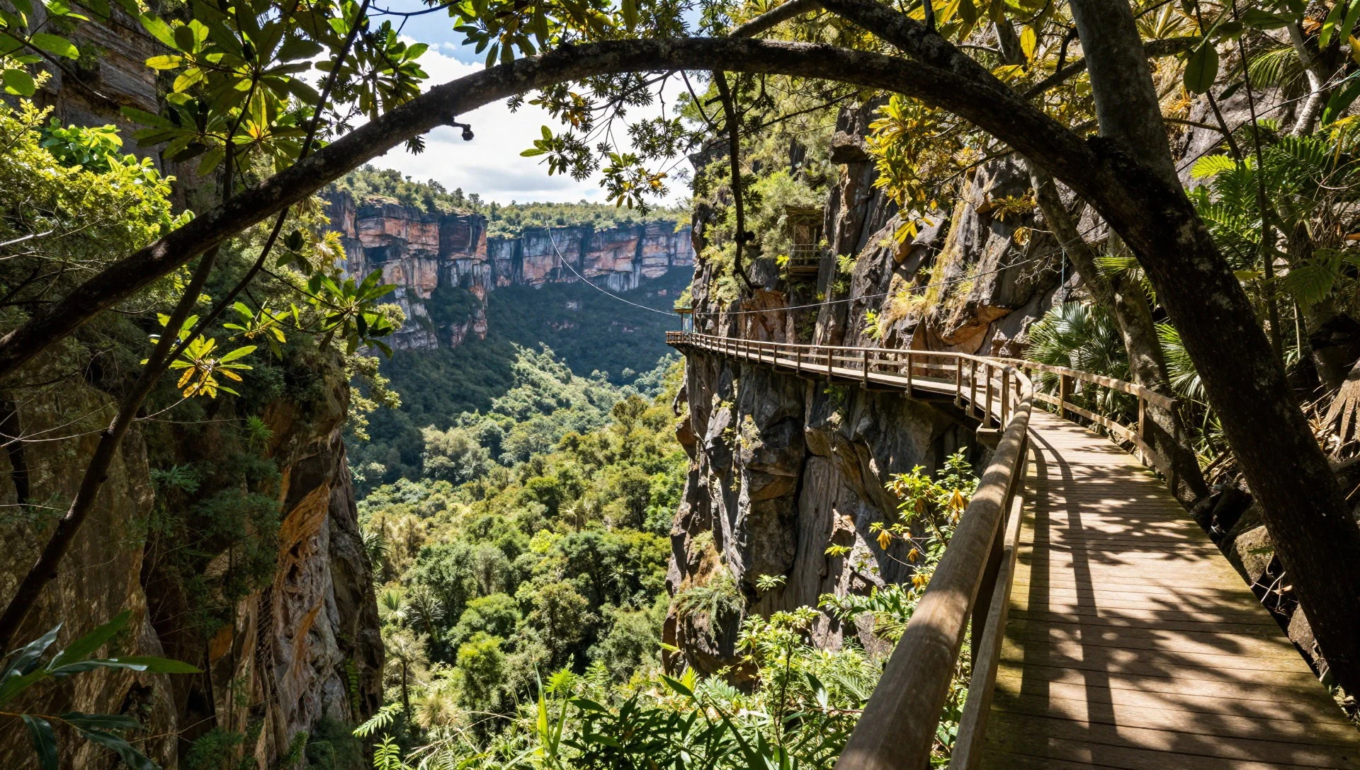
- Waterfall country along the Malolotja River — Lower river valleys and waterfall zones
Malolotja River is the reserve’s life line, wandering through highveld bog systems and then working its way down through gorges and waterfalls. Expect viewpoints where the sound of water carries and where the surrounding vegetation feels thicker. This is where the park’s “mountains plus water” personality becomes obvious.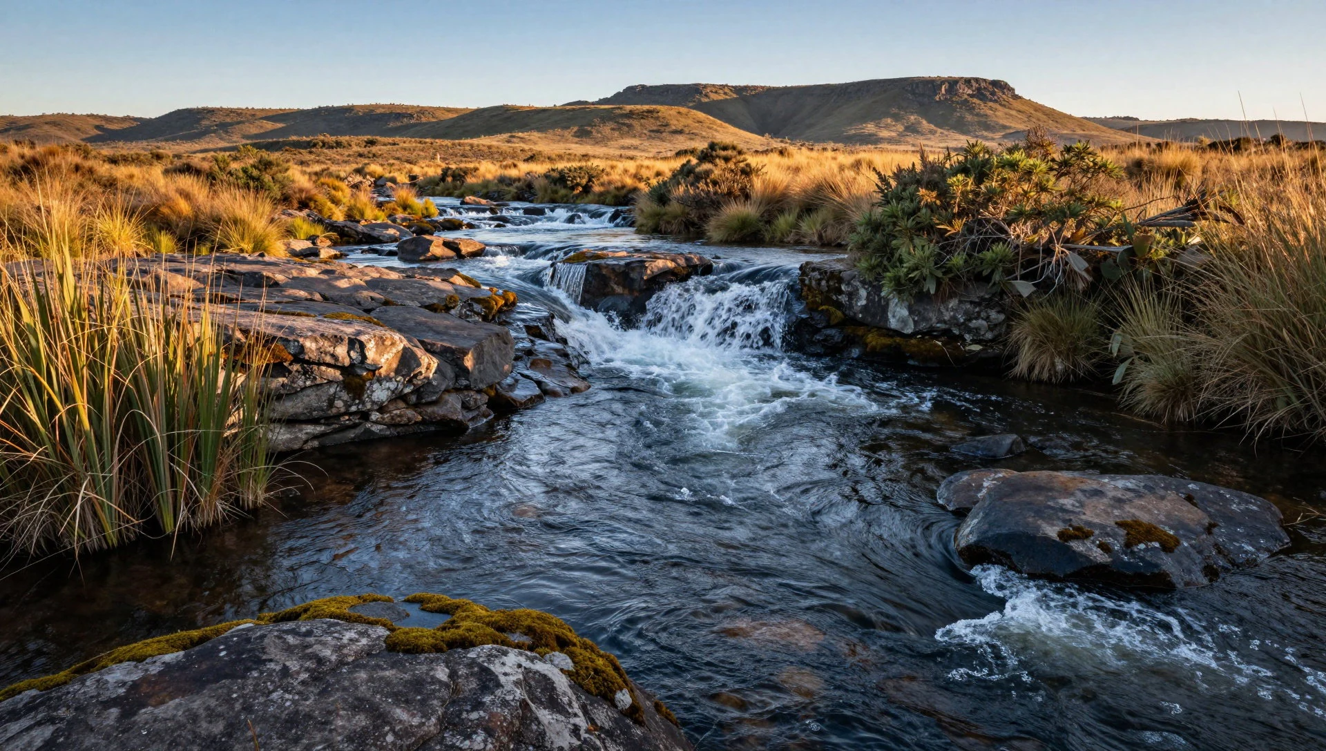
- Ngwenya Mountain viewpoints and slopes — Ngwenya Mountain area
Ngwenya Mountain is a key landmark in the reserve’s geography and a reason the terrain feels dramatic. Even when walking routes are short, the altitude shift can be felt in the air and the vegetation. Look for vantage points that show transitions from grassland to more sheltered, wooded areas.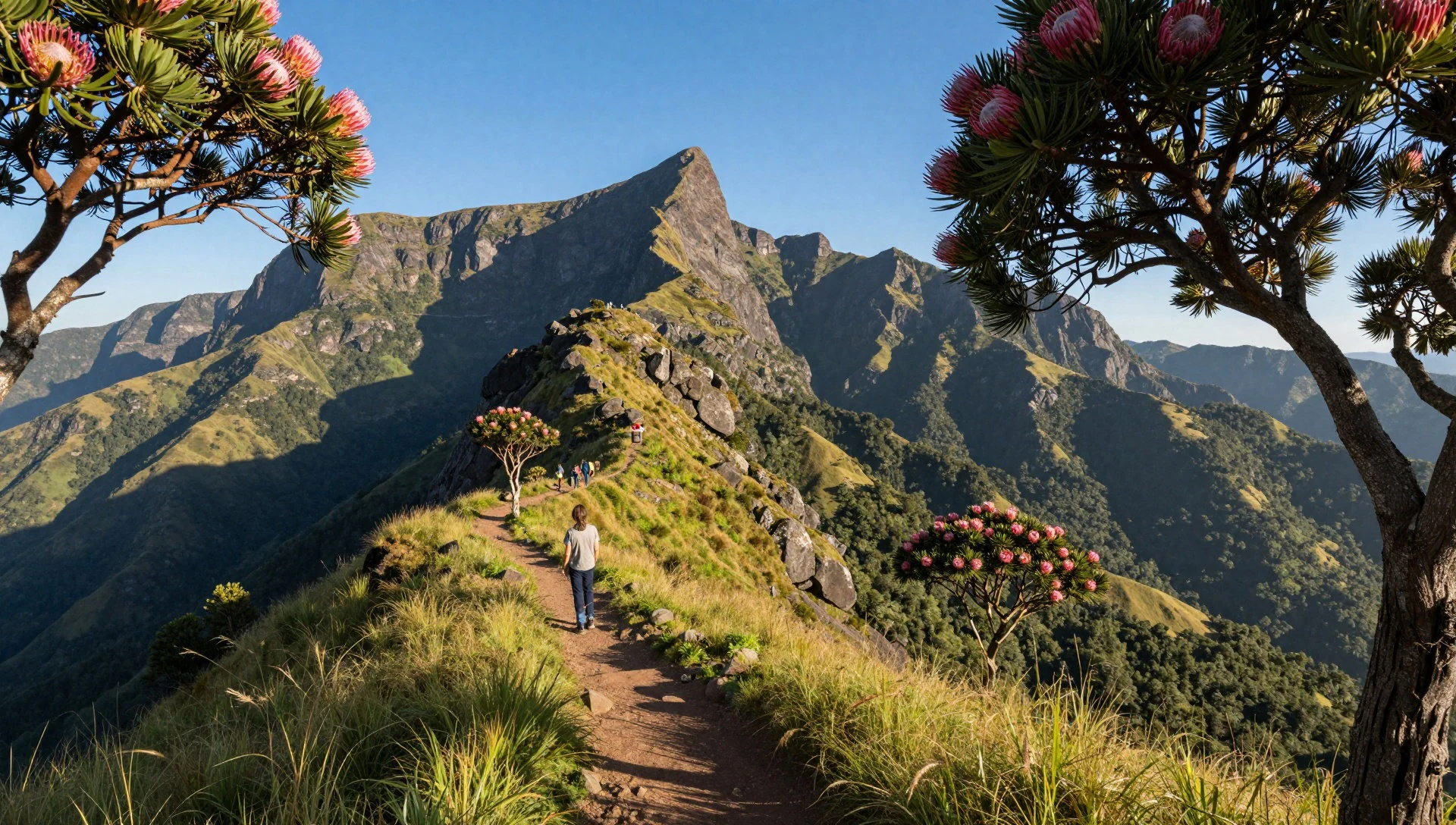
- Peace Park border landscape (Songimvelo connection) — Across the border link with Songimvelo
Malolotja’s story connects to the wider Songimvelo side in South Africa, turning the area into a transboundary conservation landscape. From the reserve viewpoints and river corridors, it’s easy to understand why wildlife benefits from connected habitat. Treat it as a landscape experience rather than a single “attraction”.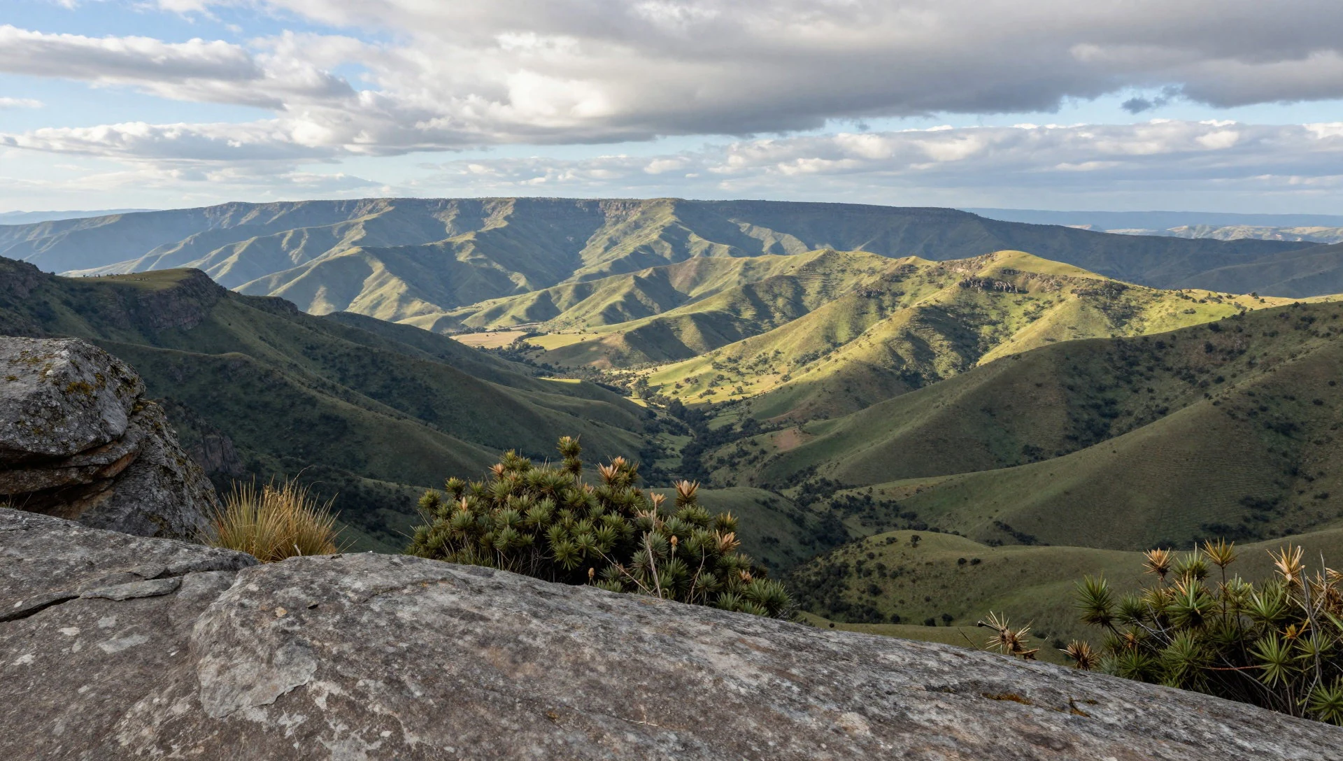
Culture
Malolotja Nature Reserve doesn’t revolve around town culture; it’s mostly about moving respectfully through living landscape. The reserve is managed as protected mountain country, and the habitats change quickly with altitude—grassland on drier slopes, thicker vegetation near water, and forested pockets higher up. Those transitions are easy to disturb if people step off-trail or trample fragile ground, especially around wetter areas and river lines.
Local conservation history also matters. The reserve was set up after surveys and decisions that balanced use of the land with the need to protect areas with limited agricultural potential and sensitive water systems. Visitors help that legacy when they treat the reserve like a shared responsibility: stay on marked paths, keep voices down near wildlife, and avoid collecting plants or “taking bits” from the scenery.
Because the park is in remote mountainous terrain, practical cultural etiquette is also about self-sufficiency. Trash management matters more here than in cities, and it’s worth assuming you’ll need to carry out what you bring in. If travelling with a guide, follow their brief on safe walking and how to approach animals.
Visitor etiquette: stay on marked trails and carry out all rubbish—especially near river edges and wet, fragile ground.
What to wear
In Malolotja Nature Reserve, clothing is mainly about weather and terrain rather than style. The reserve sits in a mountainous setting with habitat shifts across altitude, so temperatures can feel cooler as you climb and the air can turn damp near river lines. Comfortable layers are the most useful “fashion” choice.
Traditional dress isn’t essential for the reserve itself, but it’s worth understanding what locals wear in daily life across Eswatini: you’ll see brightly coloured garments and textiles during cultural events and in towns, often worn in ways that match modesty norms. For a visitor in the reserve area, the key is to dress practically while respecting that some cultural spaces outside the park may require covered shoulders and longer lengths.
What to wear now: breathable hiking trousers, long-sleeve layers, and a light rain jacket are ideal. Choose sturdy walking shoes with grip—muddy patches can appear after wetter periods. Bring socks you don’t mind getting damp, and a hat or cap for sun when skies clear. If doing a canopy tour, secure footwear matters because you’ll be moving around in harness systems.
What visitors should pack: a warm layer for early mornings, waterproof protection, and a small daypack for water. Keep colours and scents low-key if wildlife viewing is part of the plan, and avoid anything that restricts movement on uneven ground.
What to eat
- Local roadside platters — Roadside eateries and stops on the approach routes
Along the route into the Malolotja area, you’ll find informal stops selling simple meals like grilled meats and stews. These are often the easiest way to eat if you’re moving between viewpoint stops and trailheads.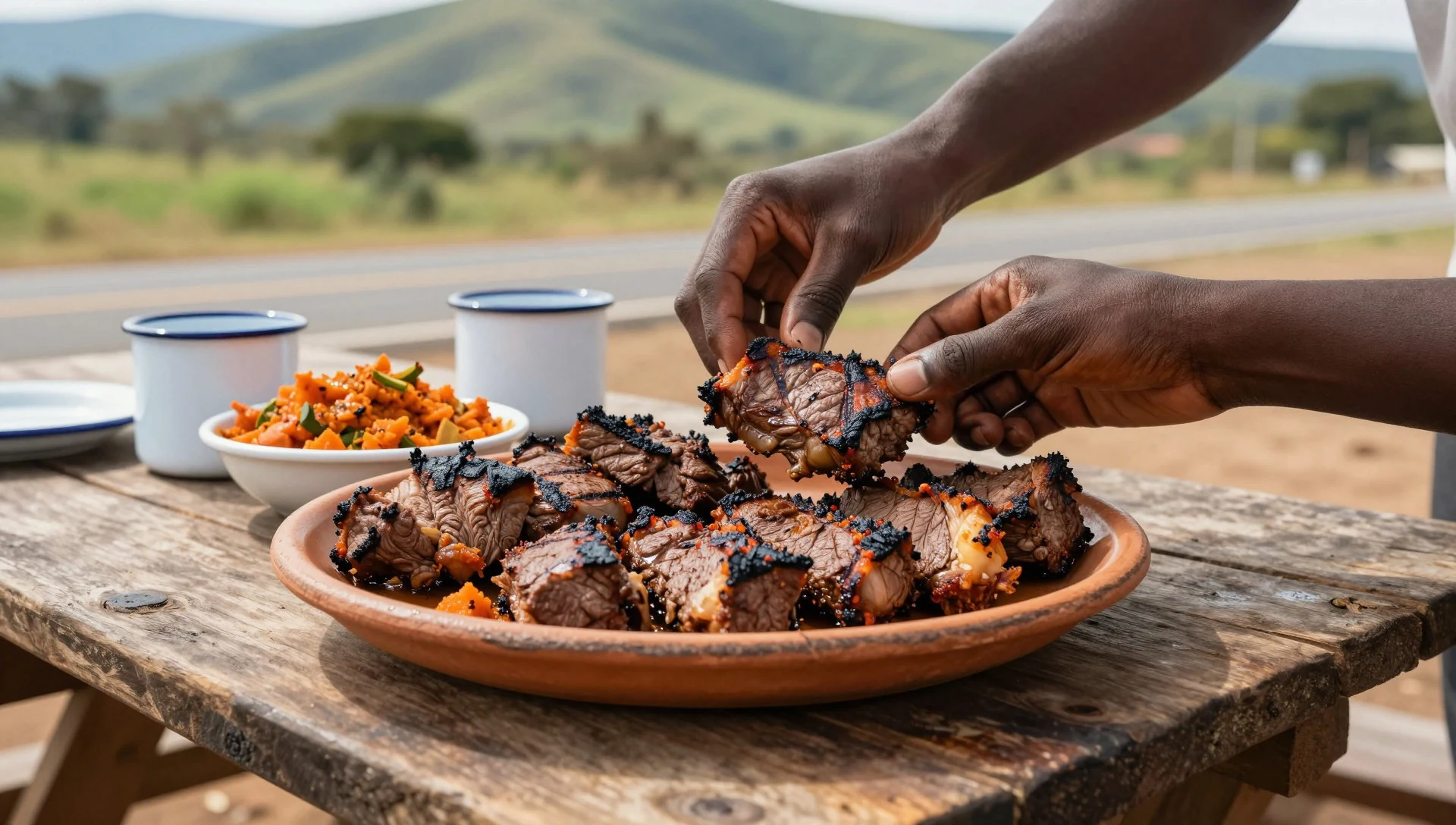
- Pap (maize porridge) — Local restaurants and community eateries in nearby towns
Pap is a common staple in southern Africa and often comes with saucy meat or vegetable mixes. It’s filling for hiking days because it holds you steady through long walks and cooler mountain air.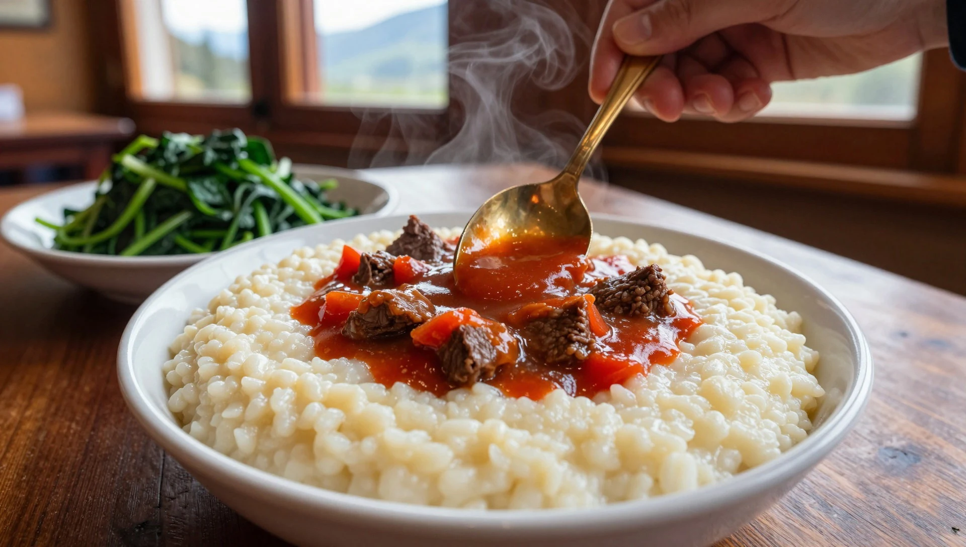
- Chakalaka-style vegetable relish — Casual eateries near the approach routes
Spicy vegetable relishes are regularly served with staples like pap or alongside grilled options. Look for it at casual eateries where you can choose a main and have the relish on the side. - Grilled meat — Small grill stands and local restaurants in the region
When you spot a grill sign, it’s usually your best bet for a quick, warming meal. Order a simple portion with sides so you’re not stuck searching for food after a hike. - Fresh fruit and cold drinks — Convenience shops and market-like stalls in nearby towns
For lighter breaks, look for fruit and cool beverages before heading back into the mountains. It’s handy for rehydration when the day has been warm in lower areas.
Plan it
Best time. March–April and October–November for more comfortable mountain conditions; Malolotja is in a region where June brings cooler weather, while wetter spells can make trails muddy, so check conditions before hiking.
How long. 3–4
Getting there. Fly into Johannesburg or a major Eswatini-adjacent gateway, then drive towards Malolotja via regional roads. The last leg is mostly road-and-rough-track style access to trailheads and viewpoint areas; if you’re camping or doing backcountry routes, consider organising transfers with local support.
Budget. mid
Tips
- Start early for quieter trails and softer light around viewpoints.
- Expect limited road access inside the reserve, so build time for walking and slower driving on rough ground.
- Bring water and a few high-energy snacks; the reserve area is remote.
- If doing ziplining, choose a day with stable weather for a smoother experience.
- Carry cash for small roadside purchases, since card facilities can be patchy away from towns.
Etiquette
- Stay on marked paths and keep a respectful distance from wildlife.
- Pack out all rubbish and avoid disturbing fragile ground near water.
- If joining a guided activity, follow the safety briefing and harness rules closely.
Nearby
Sources
- Wikidata Q6744480 (CC0)
- Wikipedia (Malolotja National Park) rev 1333101914 (CC BY-SA 4.0)
- Wikivoyage (Malolotja Nature Reserve) rev 5410290 (CC BY-SA 4.0)
- Photo photos/01-malolotja.jpg (CC BY-SA 2.0)
- Photo photos/02-matumi-imported-from-inaturalist-photo-63998588.jpg (CC BY-SA 4.0)
- Photo photos/03-eswatini-regions-map.png (CC BY 3.0)
- Photo photos/04-flowering-meadow-32380834432.jpg (CC BY-SA 2.0)
- Photo photos/05-hiking-symbol.jpg (CC BY-SA 4.0)
- Photo photos/06-malolotja-scenery-31722500693.jpg (CC BY-SA 2.0)
- Photo photos/07-malolotja-scenery-32380407282.jpg (CC BY-SA 2.0)


