Mago National Park
Mago National Park, Ethiopia
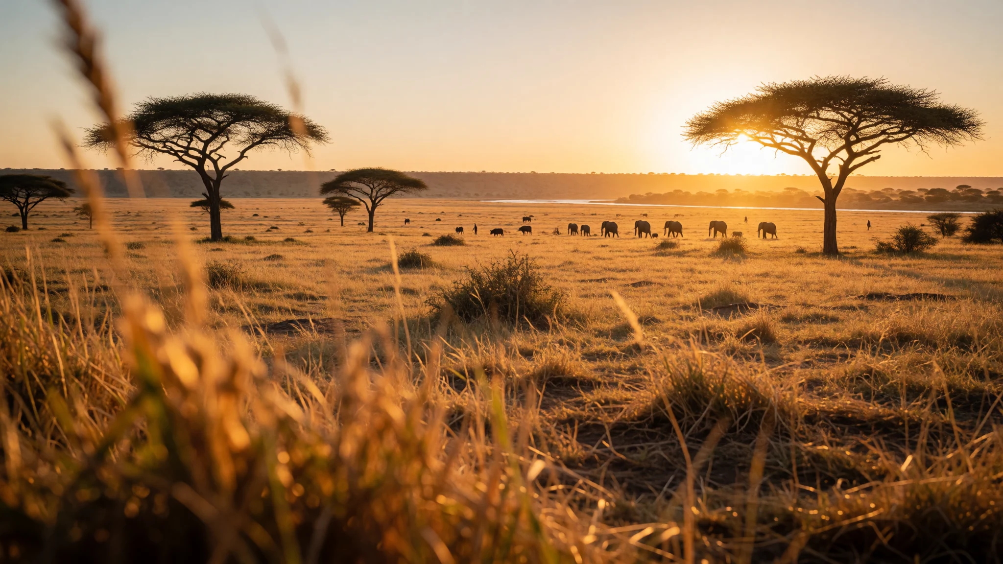
Mago National Park is a remote stretch of savanna and river forest in Ethiopia's lower Omo, shared with several distinct peoples.
The place
Mago National Park sits in the South Ethiopia Regional State, about 782 km south of Addis Ababa, in the lower Omo country just before the river makes a sharp turn. The park covers about 2,162 sq km and is split in two by the Mago River, a tributary of the Omo. On the western side, beyond the Tama River, lies the Tama Wildlife Reserve. To the south the park meets the Murle Controlled Hunting Area and Lake Dipa, which lies along the lower Omo. The park office is about 26 km south-west of the town of Jinka and about 115 km north of Omorate. Every road to and within the park is unpaved, and that shapes everything. Journeys take longer than the map suggests, rain can turn tracks to mud, and a sturdy four-wheel-drive vehicle with a driver who knows the area is the norm. The landscape is mostly open savanna and acacia woodland, with greener strips of forest along the rivers. Wildlife is the official draw, but sightings are never guaranteed and the park is far quieter than the better-known reserves of eastern and southern Africa. Just as much of the interest lies in the surrounding valleys, where Aari, Banna, Bongoso, Hamar, Kargo, Kwegu, Male and Mursi communities live. Facilities are limited, the heat is real, and the experience suits patient, self-reliant travellers more than anyone wanting a polished safari. Access and conditions change, so it is worth confirming the current situation locally before setting out.
Its story
Mago National Park was established in 1979, but the story of the land is much older than the park boundary. The lower Omo valley has long been home to farming and herding peoples, each with its own language, customs and ways of reading the seasons. Rivers such as the Mago, the Neri and the Omo itself have shaped where people grow crops on the floodplain, where cattle are watered and where wildlife gathers in the dry months. Declaring part of this country a national park placed a formal conservation line across ground that was already in use. That has made the relationship between park authorities and neighbouring communities a delicate subject, as it is in many protected areas across Africa. Grazing, hunting, farming and tourism all compete for the same water and land. The park's own layout reflects this patchwork: a core area divided by the Mago River, a wildlife reserve on one side, and a controlled hunting area on another. Travel writing about the region has often focused on the people rather than the animals, which is a choice worth questioning. Communities here are neighbours with their own priorities, not an attraction. Visitors who read a little about the region beforehand, and who hire local guides, tend to come away with a fuller and more respectful picture of this part of southern Ethiopia.
What to see
- Neri River — Within the park, south-west of Jinka
The Neri River flows into the Mago River and holds water through the year, which makes it a reliable spot in dry country. Gallery forest and acacia woodland line its banks, and the quiet makes it a good place for birdwatching and for watching for wildlife at the water's edge.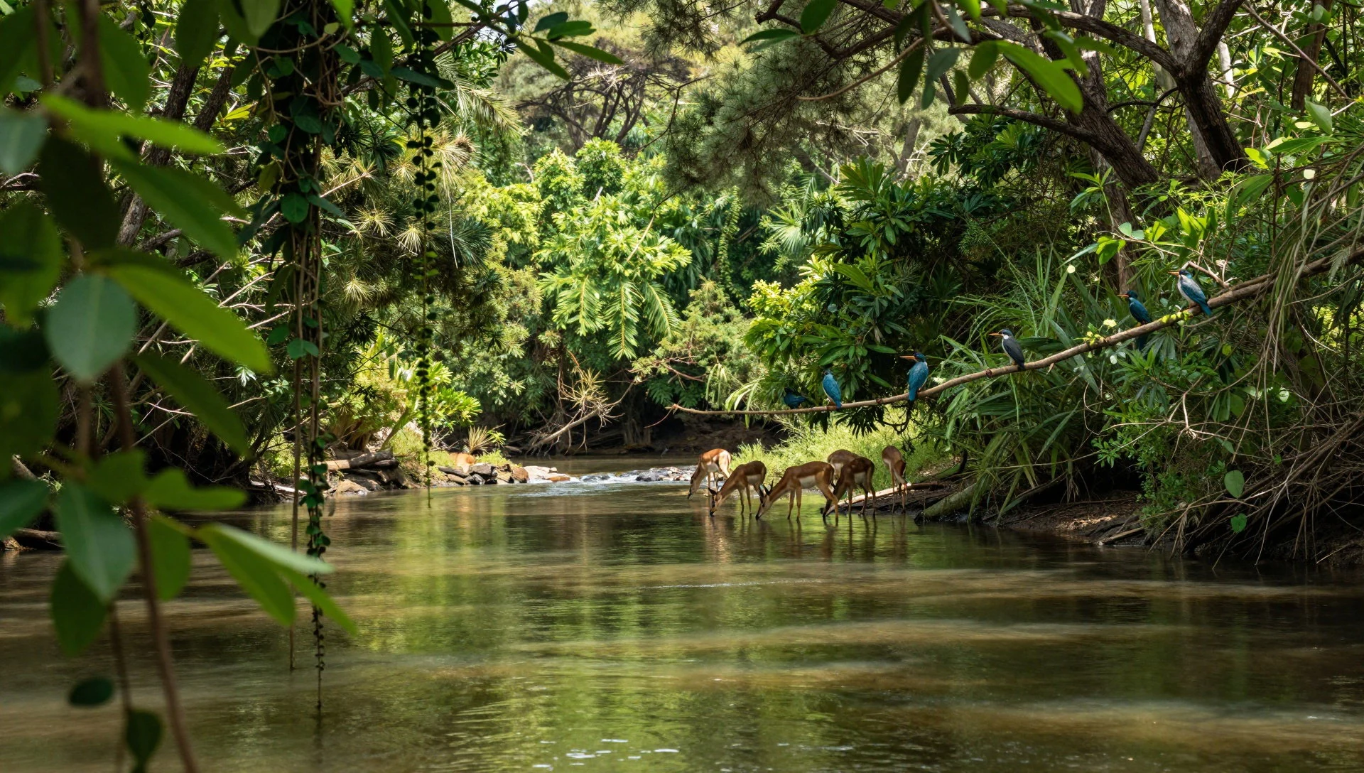
- The Mago River crossing — Through the centre of the park
The Mago River divides the park into two halves, so crossing points matter to any route. In the dry season the river runs low and the surrounding woodland is easier to explore. After heavy rain, tracks can flood or soften, so guides usually check conditions before committing to a crossing.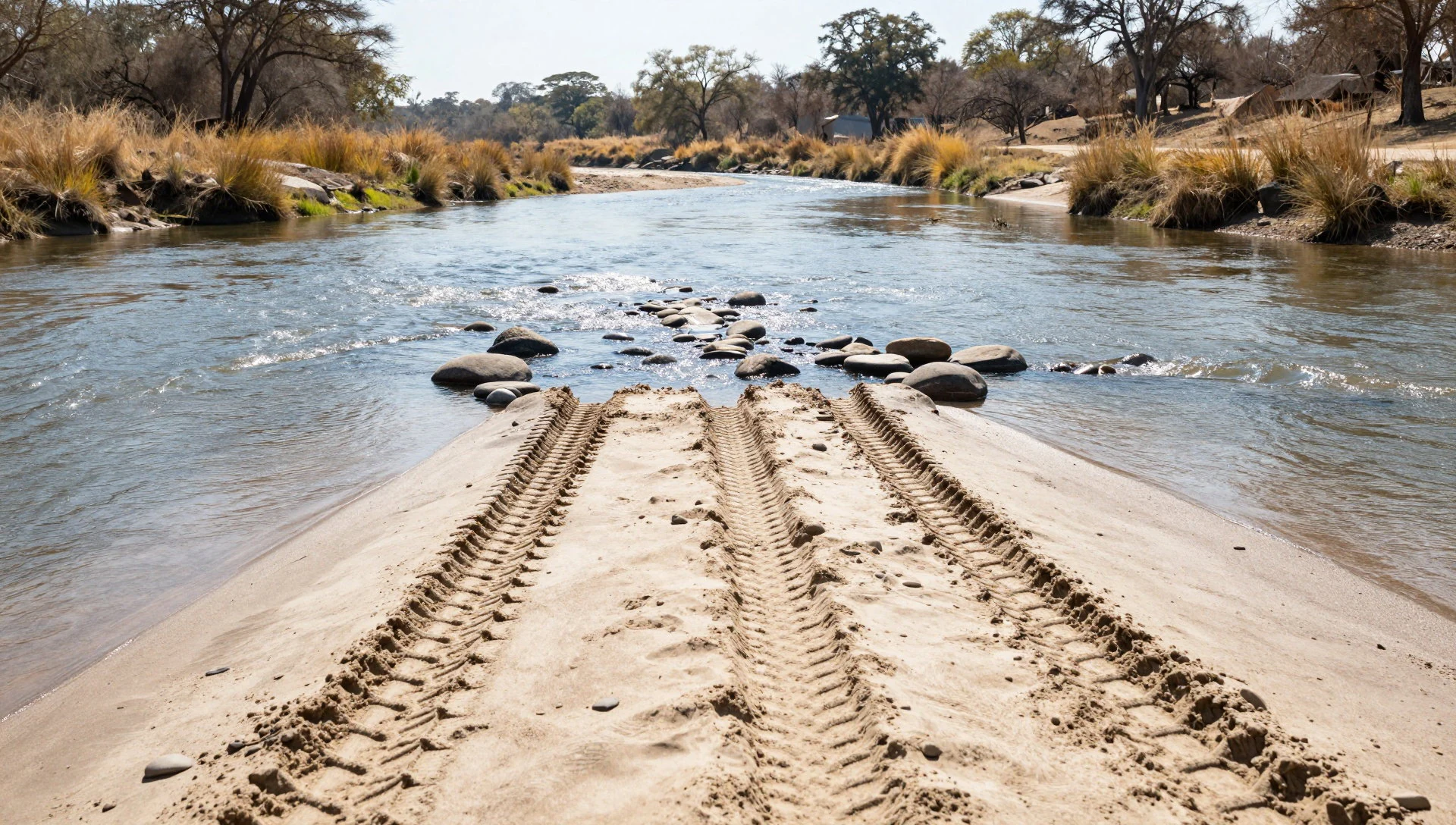
- Tama Wildlife Reserve boundary — Western edge of the park
West of the Tama River, the Tama Wildlife Reserve adjoins the park. Visitors mostly see it as a change of scenery from the road and a reminder that this protected landscape is larger than the park alone. Access is limited, so ask the park office what is open.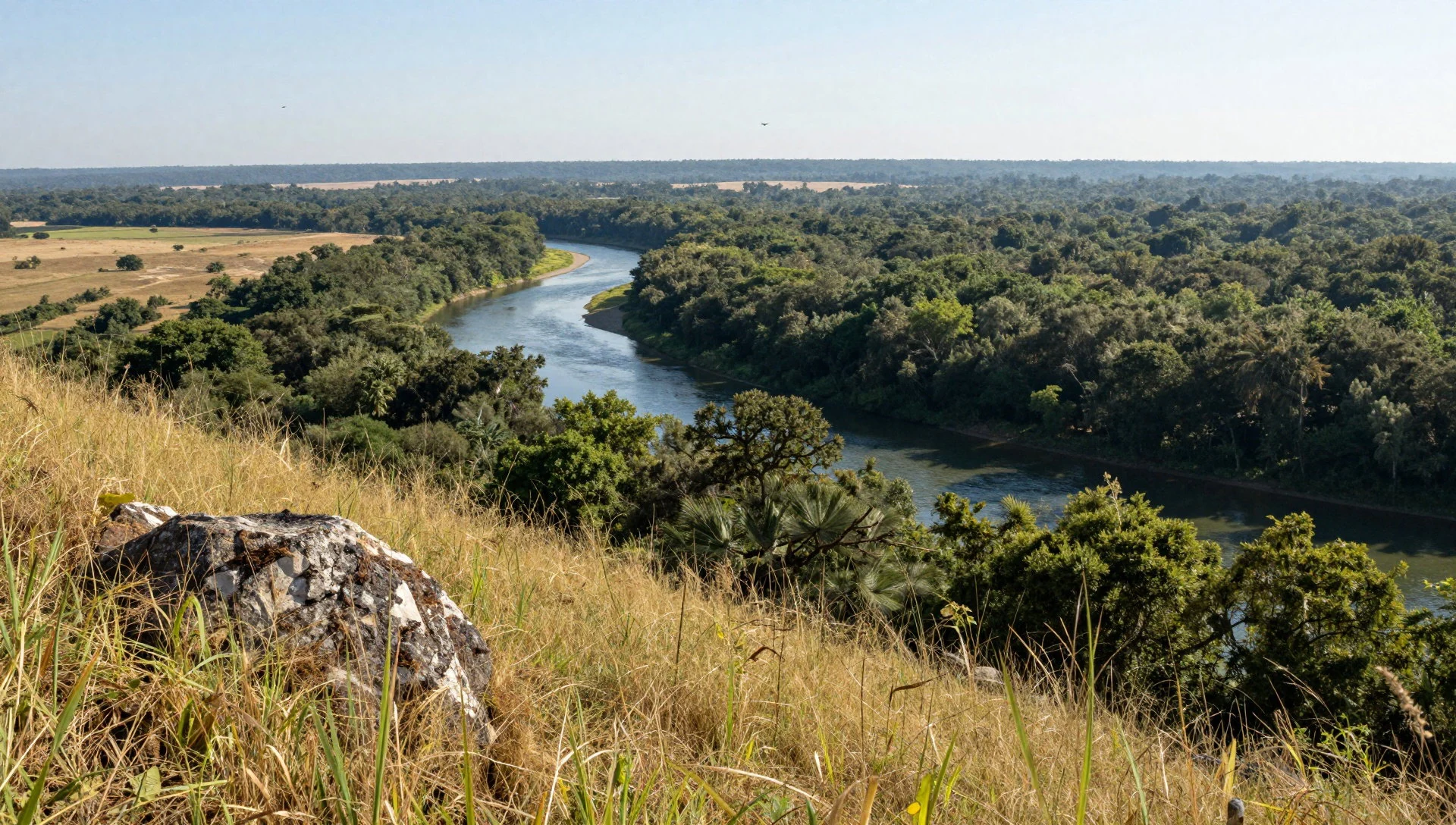
- Lake Dipa and the lower Omo — Southern side of the park
In the south, Lake Dipa lies beside the lower Omo, within the Murle Controlled Hunting Area. It is a remote corner and reaching it takes planning, a capable vehicle and local advice. The reward is wide, open country and a sense of how far this park is from main roads.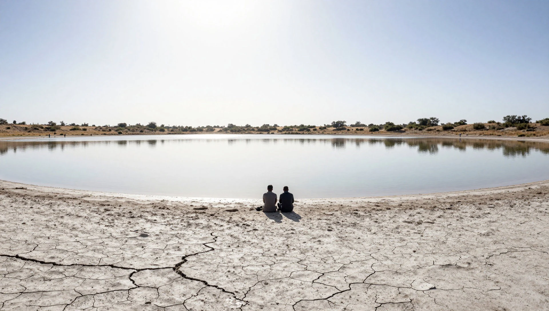
- Jinka and its market — Jinka, north-east of the park office
Jinka is the usual base for the park, a small town where supplies, fuel and guides are arranged. Its market draws people from surrounding communities and is a good place to see regional dress, produce and trade. Go with a guide and ask before taking photographs.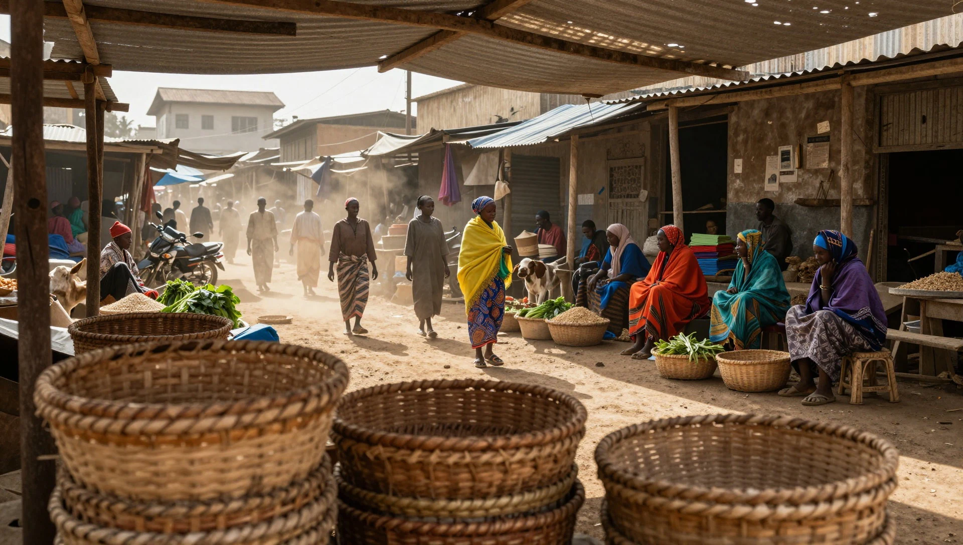
Culture
Mago National Park lies among some of the most culturally varied communities in Ethiopia, including the Aari, Banna, Hamar, Kargo, Kwegu, Male and Mursi. Each group has its own language, livelihood and traditions, from cattle herding to farming on the river floodplain. Cattle often matter beyond food: they can be wealth, a gift at marriage and a mark of standing. Body decoration, scarring, hairstyles and beadwork can signal age, status or occasion, and are part of daily life rather than performances for visitors. That distinction matters. Some communities have been photographed so often that requests for payment have become routine, and this can leave both sides uneasy. Many visitors are uncomfortable with how tourism has turned people into subjects, and a thoughtful guide will explain what is and is not appropriate. Markets and ceremonies are open to some visitors, but not all, and local permission matters more than any itinerary. Spending time in Jinka and talking with local guides, who often come from these communities, gives a better sense of how people see their own land and its protected status. Coffee is an important social ritual across southern Ethiopia, and being offered a cup is a sign of welcome. Ask your guide before photographing anyone, accept a refusal without argument, and agree any payment for photographs beforehand rather than after.
What to wear
Mago National Park sits among communities whose dress is varied and tied to place, age and occasion. Traditional clothing in the lower Omo region includes leather skirts, wrapped cloth, cotton shawls and a great deal of beadwork, with necklaces, bracelets and headpieces made from glass beads, metal and natural materials. Some groups use ochre, clay or butter on hair and skin, and certain styles mark marriage, adulthood or ceremony. Elsewhere in southern Ethiopia, woven cotton wraps are common, and the white cotton shawls seen in many towns are worn for festivals and religious days. Day to day, many people now wear a mix: T-shirts, shorts, trousers, dresses, plastic sandals or boots, sometimes alongside beads or a blanket. Traditional dress is often kept for markets, ceremonies and important visits. For visitors, the climate is hot and the terrain is dusty and uneven. Light, long-sleeved cotton and loose trousers protect against sun, thorns and insects, and neutral colours blend in better on a wildlife drive than bright ones. Sturdy closed shoes suit bush walking, with sandals for the evenings. A hat, sunglasses and a scarf for dust are useful. In towns such as Jinka, modest dress with covered shoulders and knees is the polite default, and it also shows respect when meeting local communities.
What to eat
- Injera with wat — Local eateries in Jinka
Injera is a sour, spongy flatbread served with a spiced stew called wat, often made with lentils, beans or chicken. It is the standard meal across Ethiopia and easy to find in simple local eateries in Jinka.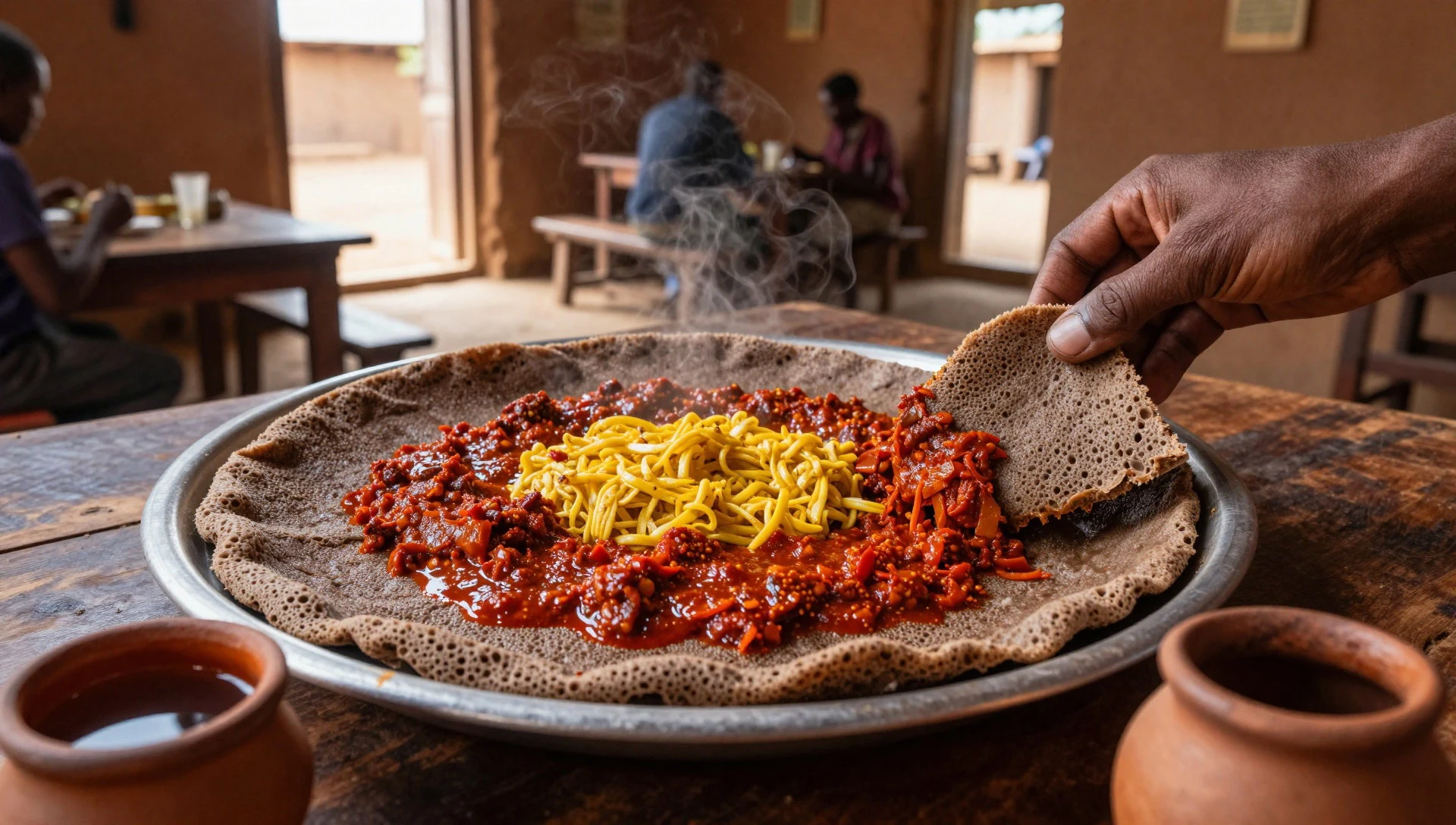
- Tibs — Restaurants and eateries in Jinka town
Tibs is meat, usually beef or goat, cut into pieces and fried with onion, pepper and sometimes rosemary. It is served hot with injera or bread, and is a common order when something simple and filling is wanted.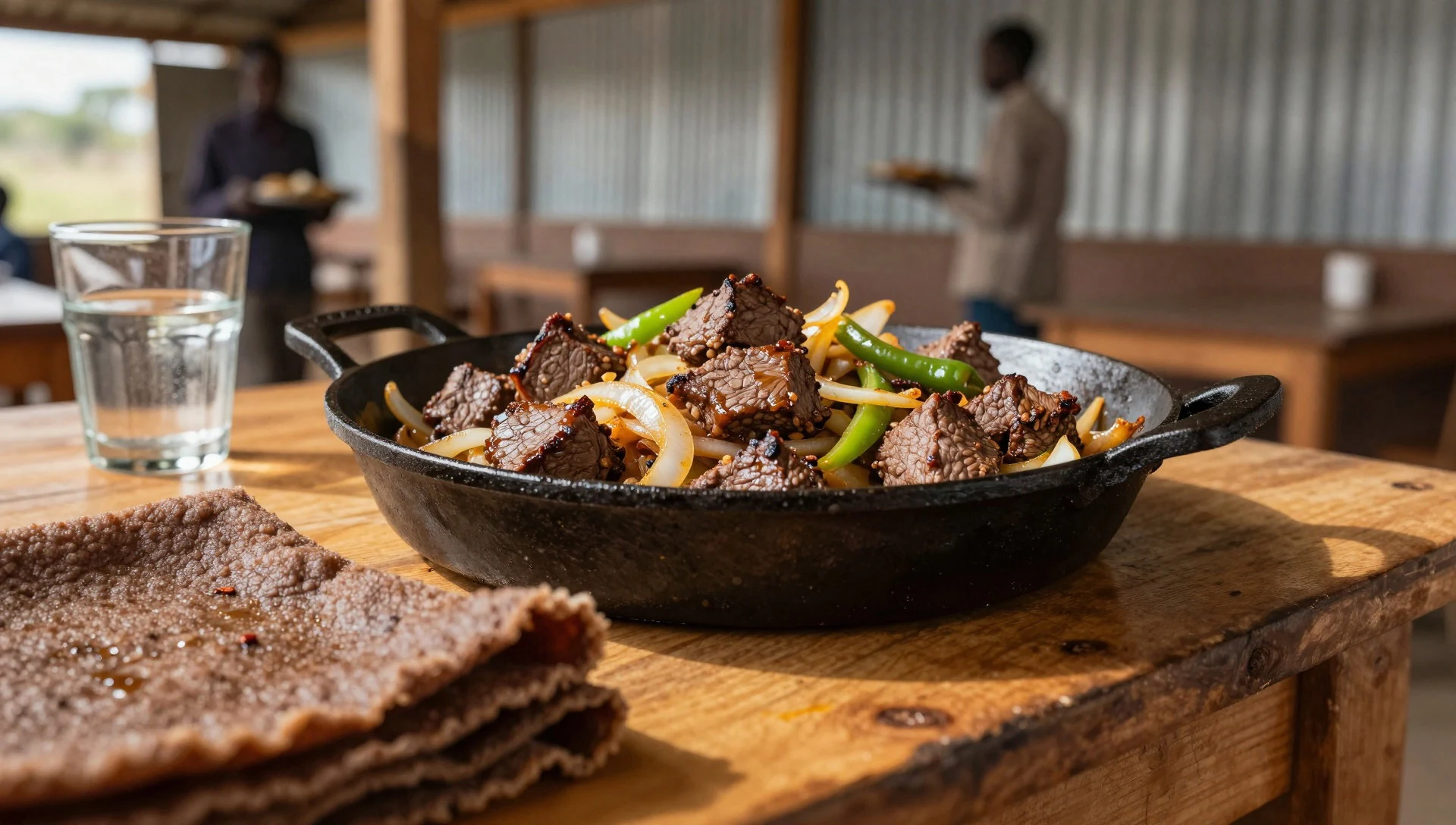
- Kocho — Home kitchens and village markets in the region
Kocho is a fermented bread made from the enset plant, sometimes called the false banana. It is a staple in parts of southern Ethiopia, dense and slightly sour, and is often eaten with spiced butter or a chilli paste. - Firfir — Breakfast stops and local eateries in Jinka
Firfir is shredded injera or bread tossed in a spiced sauce until it softens. It is a hearty, quick breakfast or lunch, often vegetarian during fasting days, and widely available in simple eateries. - Ethiopian coffee — Roadside coffee stalls, homes and cafes in Jinka
Coffee in Ethiopia is often prepared as a small ceremony: beans roasted, ground and brewed in a clay pot, then served in tiny cups. It is a social ritual as much as a drink, and refusing a first cup can seem curt.
Plan it
Best time. The driest months, January and February and again from June to September, are usually easier for tracks and wildlife viewing, as animals gather near the rivers. The rainy seasons can make unpaved roads slow or impassable and increase insect numbers. Daytime heat is high in any month, so early starts help. Check recent conditions with a local operator.
How long. 3–4
Getting there. Fly or drive to Addis Ababa, then continue to Jinka by road or by a flight if one is operating (check current schedules). The park office is about 26 km from Jinka, and the last leg is on unpaved tracks, best done in a four-wheel-drive vehicle with a local driver.
Budget. mid
Tips
- Hire a local guide and driver in Jinka; tracks are unmarked and conditions change quickly.
- Bring cash, as cards and cash machines are unreliable away from larger towns.
- Carry more drinking water than seems necessary and take sun protection for long days on the road.
- Confirm park access, permits and fees with the park office or the official regional tourism site before setting out.
- Allow extra days for delays, since rain and unpaved roads can disrupt plans.
Etiquette
- Ask permission before photographing people, and agree any payment beforehand.
- Dress modestly in towns and villages, with shoulders and knees covered.
- Follow your guide's advice around communities, livestock and ceremonies.
Nearby
Sources
- Wikidata Q1651644 (CC0)
- Wikipedia: Mago National Park (rev 1362852649) (CC BY-SA 4.0)
- Wikivoyage: Mago National Park (rev 5272047) (CC BY-SA 4.0)
- Mago National Park, Ethiopia — Oxonhutch (CC BY 3.0)
- Entering Mago National Park, Ethiopia — Richard Mortel (CC BY 2.5)
- Mago National Park (10) — Richard Mortel (CC BY 2.5)
- Mago National Park (11) — Richard Mortel (CC BY 2.5)
- Mago National Park (2) — Richard Mortel (CC BY 2.5)
- Mago National Park (3) — Richard Mortel (CC BY 2.5)
- Mago National Park (4) — Richard Mortel (CC BY 2.5)
- Mago National Park (5) — Richard Mortel (CC BY 2.5)


