Luzon
Luzon, Philippines
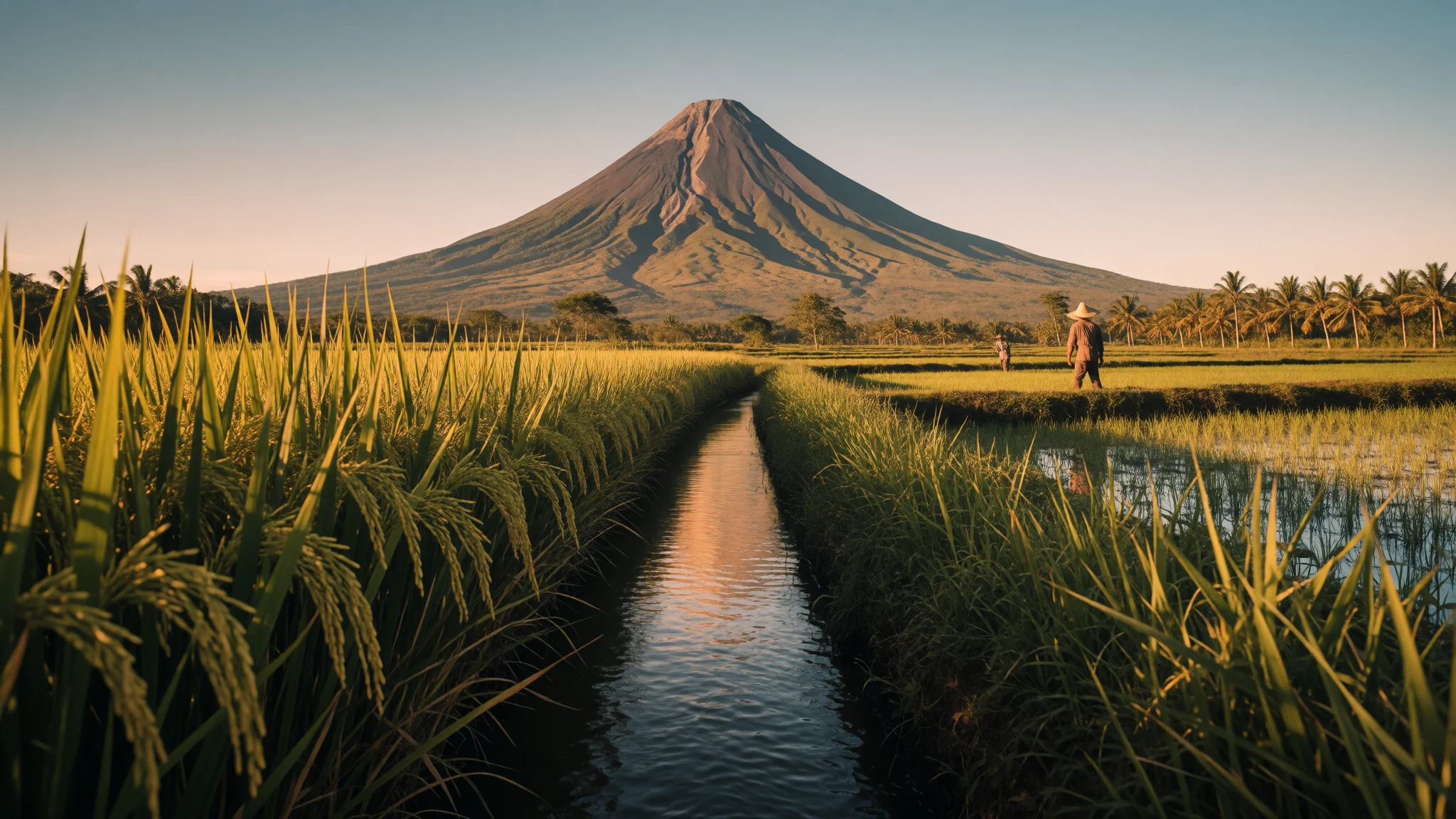
Luzon packs a capital, volcanoes, cool mountain terraces, old Spanish-era streets and regional cooking into one island, with room to choose a single region.
The place
Luzon is the largest island of the Philippines and the place where most of the country's weight gathers: the capital Manila, the business towers of Makati, the main international airports and a population of about 53 million. Even so, it is far from one big city. The western shore faces the South China Sea, the eastern side the Philippine Sea, and in the north the Luzon Strait separates the main island from the Babuyan and Batanes groups. In between lie mountain ranges with ground rising to about 2,922 m, broad plains of rice, corn, coconut and sugarcane, and long coasts of fishing towns and surf. Volcanoes are part of daily life, and so are typhoons. The name is also used more loosely for a whole island group that takes in Mindoro, Marinduque, Catanduanes and other islands offshore. Travel here is a study in contrasts. Manila is hot, loud and slow in traffic, while the highlands around Baguio and Mount Pulag are cool enough for a jumper at night. Heritage towns such as Vigan sit a long bus ride from the capital, and Taal Volcano works as a day trip from Manila. Distances look small on a map but roads are congested, so a realistic trip picks one region, such as the north, the Cordillera or the Bicol southeast, instead of trying to cover everything.
Its story
Luzon's human story reaches back a very long way. In Callao Cave in the north, fossils of Homo luzonensis, an archaic human species only recently identified, show that people lived on the island tens of thousands of years ago. Much later, the shores around Manila Bay were home to Tagalog, Kapampangan and Pangasinan communities who organised themselves into trading kingdoms such as Maynila, Tondo and Namayan. These were sea-facing polities. Local chiefs, called datu, answered to higher lords known as lakan or rajah, who collected tribute and taxes and traded with neighbouring Asian states. Hindu, Islamic and older animist influences all moved through them. A copperplate found in Laguna, the earliest known written document from the Philippines, names settlements around Manila Bay and even a place in Indonesia, which hints at how far these networks stretched. Spanish rule later made Manila the centre of an island colony, and Chinese court paintings record envoys from Luzon arriving in Beijing in the eighteenth century. The twentieth century brought American administration and then the Second World War, when the Lingayen Gulf on the west coast saw heavy naval fighting as Allied ships approached. Many towns were rebuilt afterwards, which is why old Spanish-era streets survive intact in only a few places, with Vigan the obvious example.
What to see
- Vigan — Ilocos Sur, north-west Luzon
Vigan, in the Ilocos region of north-west Luzon, is the island's best-preserved Spanish-era town, with cobbled lanes and old stone houses. Walk it early, before tour groups and the heat arrive, then take a horse-drawn calesa ride or simply sit in a café on the plaza.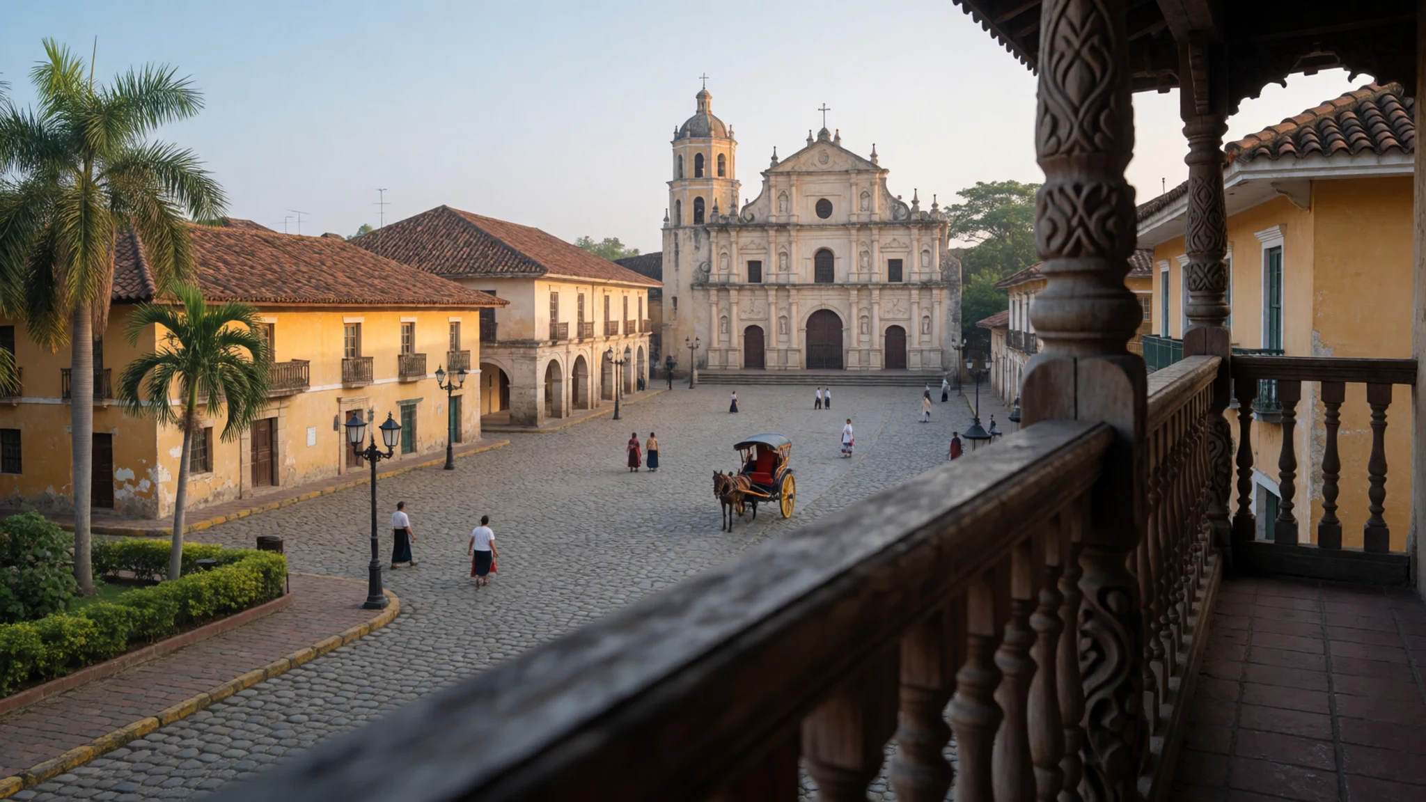
- Taal Volcano — Batangas, Southern Tagalog
Taal Volcano rises from a lake south of Manila, which makes it the easiest volcano on the island to reach. Viewpoints on the crater rim of the surrounding ridge give the clearest picture. Access to the island itself depends on volcanic alert levels, so check current advisories before planning.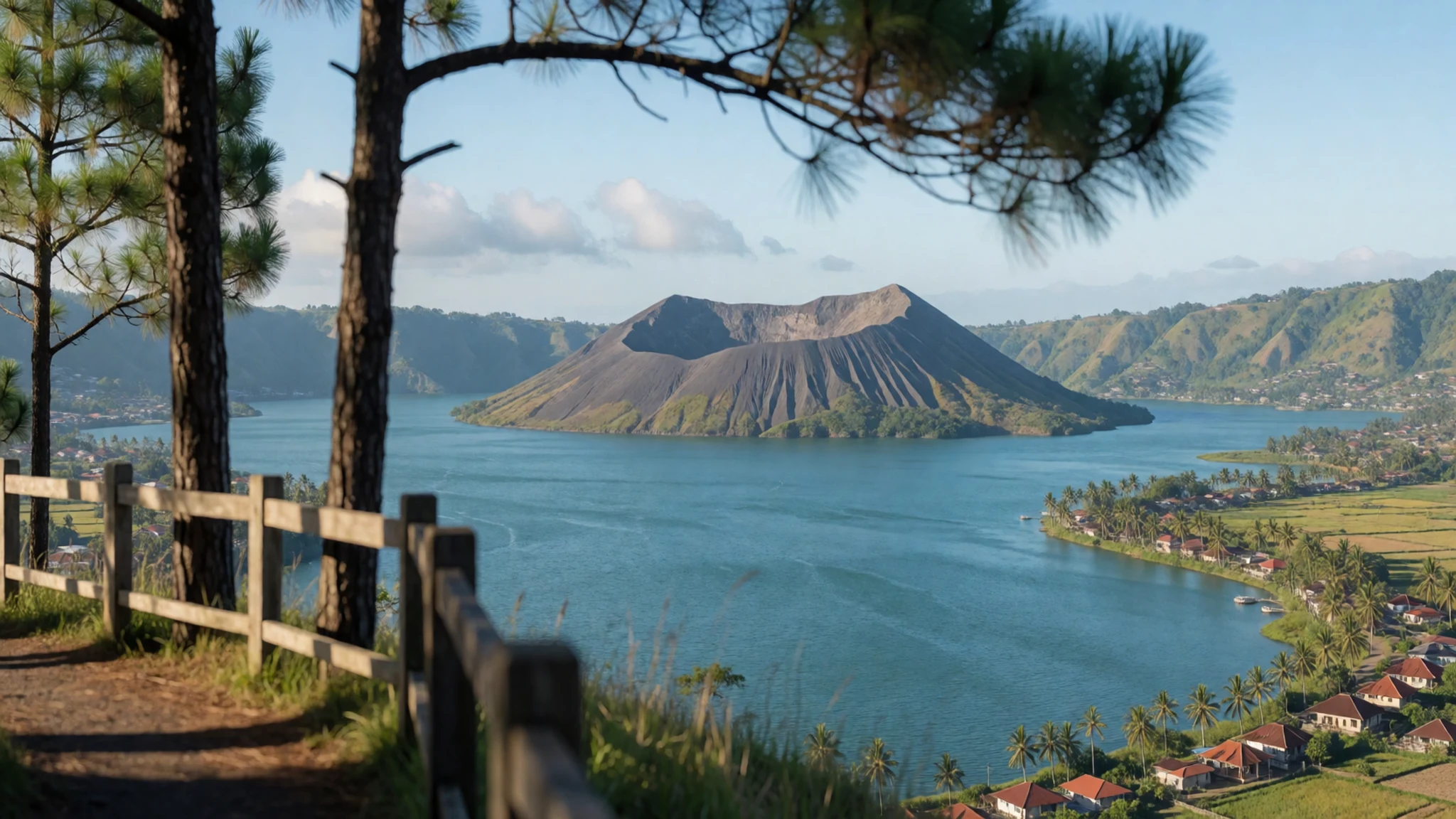
- Mount Pulag — Kabayan, Benguet
Mount Pulag is a cool grassland summit in the Cordillera, popular for sunrise above a sea of cloud. Climbers start in the dark and the cold bites, even in the dry months. Permits and guides are arranged locally, so book ahead and carry proper warm layers.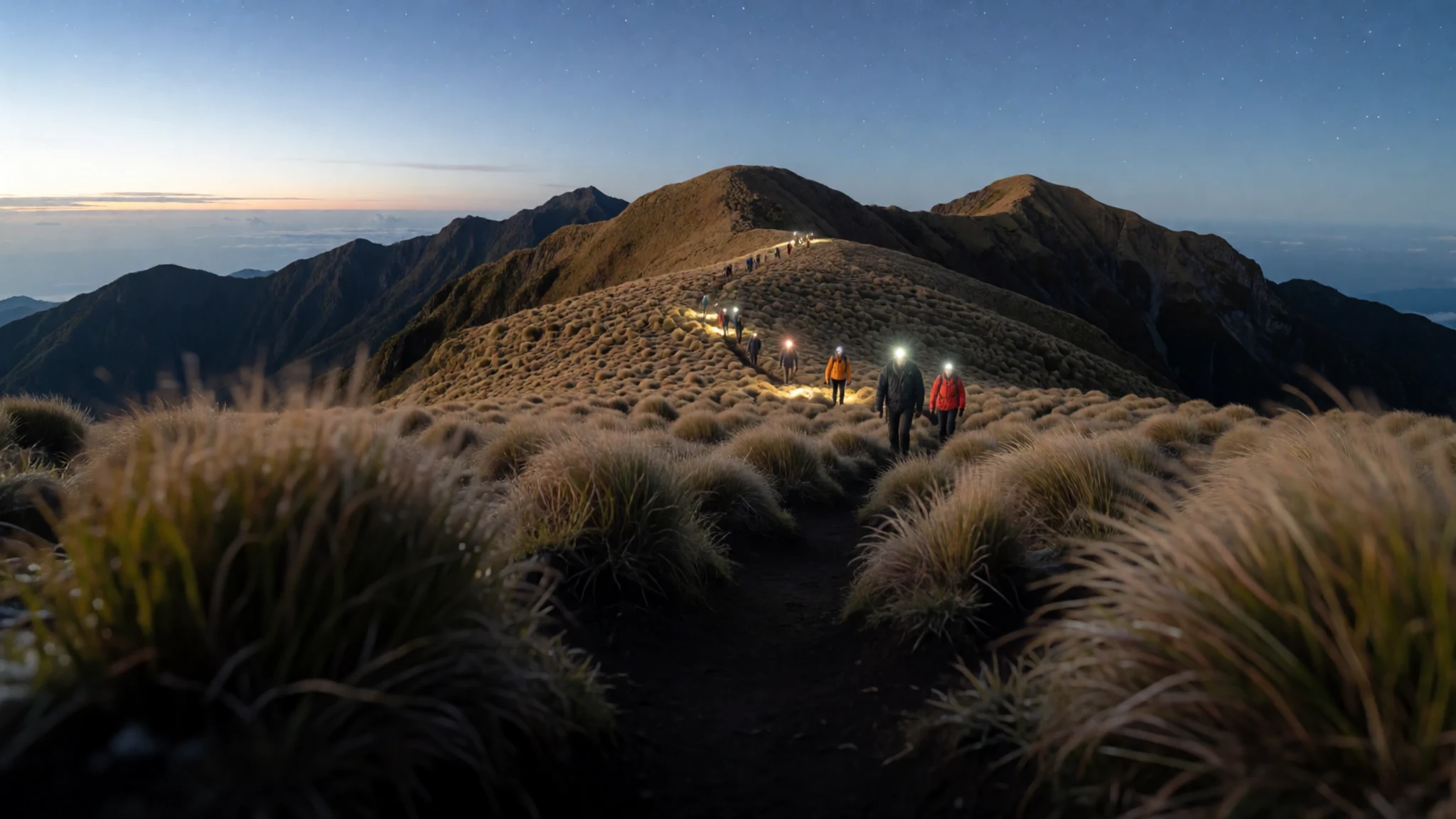
- Mayon Volcano — Albay, Bicol
Mayon is a near-perfect cone that dominates the Bicol plain, best seen from the surrounding fields at dawn when cloud allows. It is an active volcano, so exclusion zones around the crater can change. Stay at the viewpoints in the towns below and follow local guidance.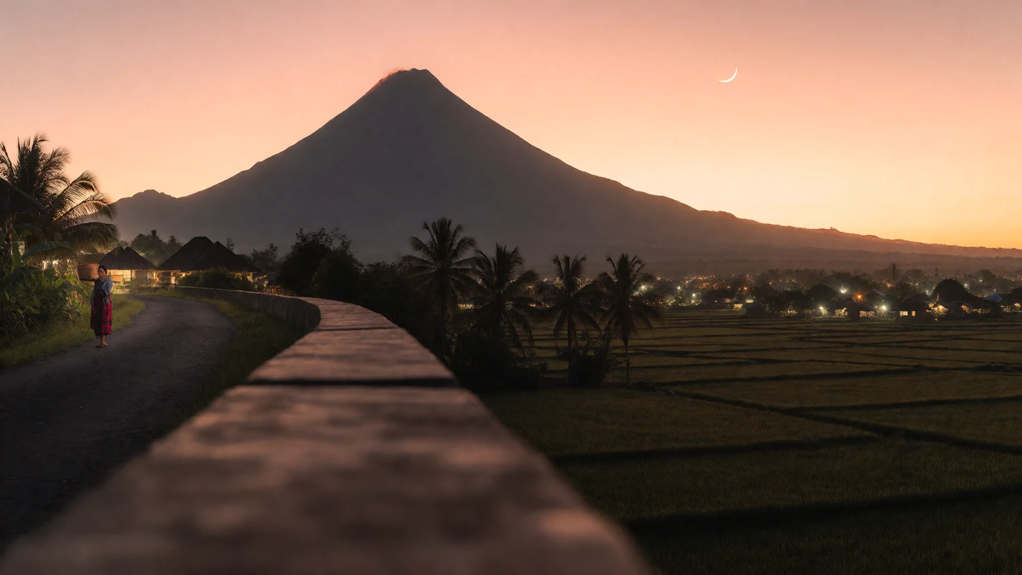
- Callao Cave — Penablanca, Cagayan
Callao Cave, in the Cagayan valley, is where fossils of Homo luzonensis were found. The cave is open to visitors and has chambers lit by daylight from openings in the roof. It sits in limestone country with river trips nearby, a long but rewarding journey from Manila.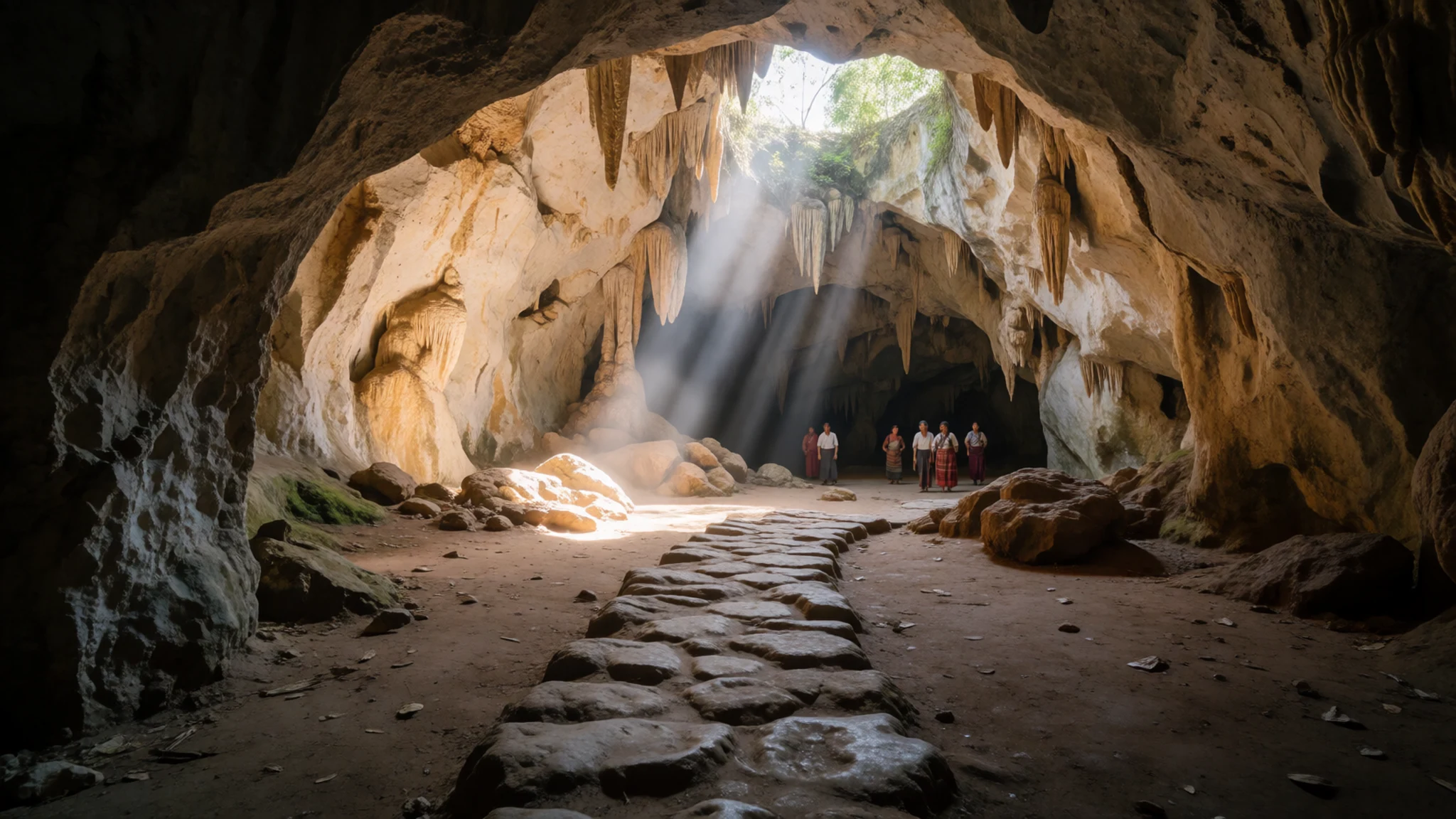
- North coast of Luzon — Cagayan and Ilocos Norte, northern Luzon
The northern coast, along the line where Cagayan meets Ilocos, is a quiet stretch of headlands, rocky shore and low forest facing the Luzon Strait. Roads are slow and services thin, so it suits those who want empty views and fishing villages more than facilities.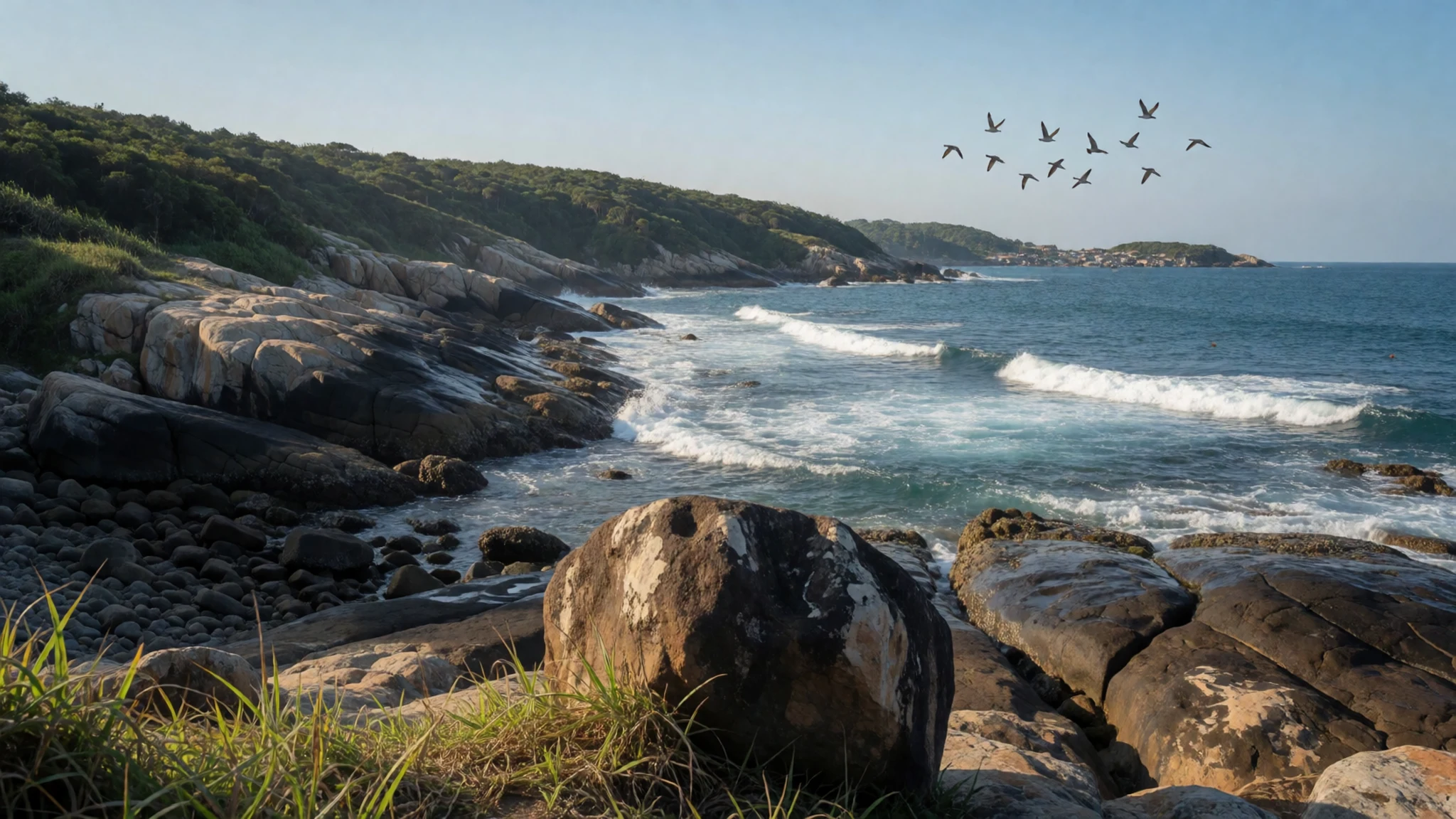
Culture
Luzon's culture is layered. Underneath, there are many Austronesian communities with their own languages, among them Tagalog, Ilocano, Kapampangan, Bikolano and the peoples of the Cordillera, who built rice terraces and keep their own rituals. On top of that sits centuries of Spanish Catholicism, visible in stone churches, patron-saint fiestas and Holy Week processions, and later American influence, which shows in English-language schooling, pop music and basketball courts in nearly every village. Family is central: meals are long, relatives are many, and a visitor will often be fed before being asked a question. Hospitality is shown through food, and refusing a second helping can seem odd, so take a small portion and accept gently. Fiestas fill the streets with music, parades and shared tables, and towns usually welcome outsiders who join in respectfully. Karaoke is serious entertainment, and a request to sing is a compliment. Jeepneys, with their painted bodies and slogans, are working transport as much as folk art. In the highlands, indigenous traditions are tied to land, harvest and ancestors, and some ceremonies are private. Politeness is expressed with the words po and opo after a sentence, and a calm tone matters more than quick bargaining. When visiting a church or an indigenous village, dress modestly, speak quietly and ask permission before photographing people, ceremonies or altars.
What to wear
Luzon's traditional dress draws on both indigenous weaving and the Spanish period. The barong Tagalog is a lightweight embroidered shirt, worn untucked, made from sheer piña pineapple-leaf fibre or the cheaper jusi, and it appears at weddings, formal events and official occasions. Women's formal wear includes the terno and the Maria Clara gown, recognised by stiff, butterfly-shaped sleeves. In the north, the Ilocos region is known for inabel, a cotton cloth woven on a loom, and the Cordillera peoples weave striped and patterned blankets and wraparound skirts, usually in cotton, with designs that mark their communities. These are worn at festivals and ceremonies rather than every day. In daily life, people dress for heat: T-shirts, shorts, jeans, rubber sandals and printed shirts, with air-conditioned malls and offices making a light cardigan useful. Visitors should pack light cotton or quick-dry clothes, a rain jacket for the wet season and a fleece for Baguio, Mount Pulag and other cool highland places, where nights get properly cold. Sturdy shoes with grip suit trails and terraces, while sandals handle beach days and wet streets. In churches, cover shoulders and knees, and in indigenous villages follow local advice on dress. Sun protection is essential, since the heat and humidity are constant on the lowlands.
What to eat
- Bagnet — Eateries and public markets in Ilocos
Bagnet is Ilocano pork belly, boiled and then deep-fried until the skin shatters. It is eaten with rice and a dipping sauce of vinegar or a salty fermented fish sauce. Order it in a roadside eatery in Ilocos or at the market in Vigan.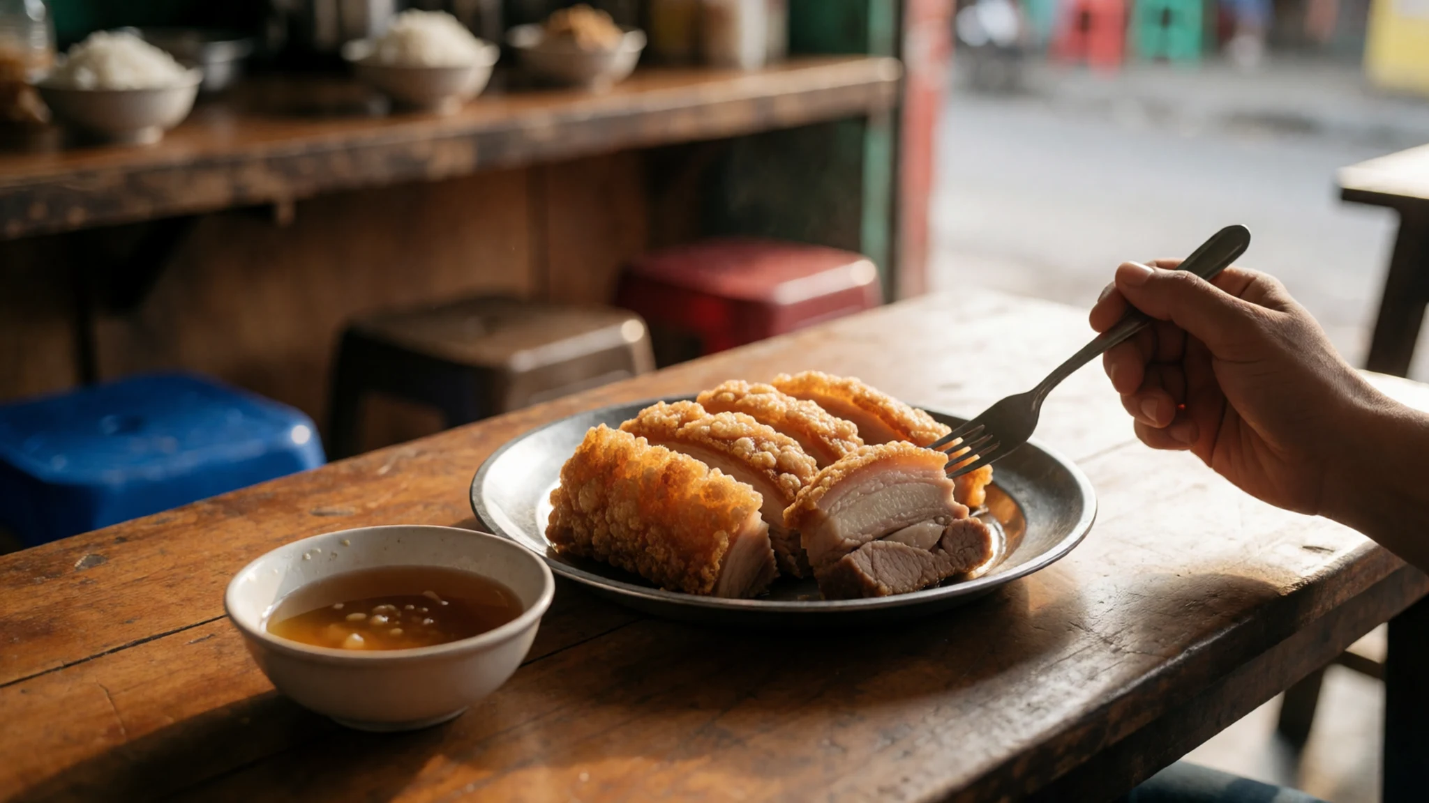
- Pinakbet — Home-style canteens in Ilocos and the Cordillera
Pinakbet is a vegetable stew from the north, seasoned with fermented fish paste and often softened with a little pork. The dish changes by household, but it always shows how much Ilocano cooking relies on vegetables. Look for it in home-style canteens.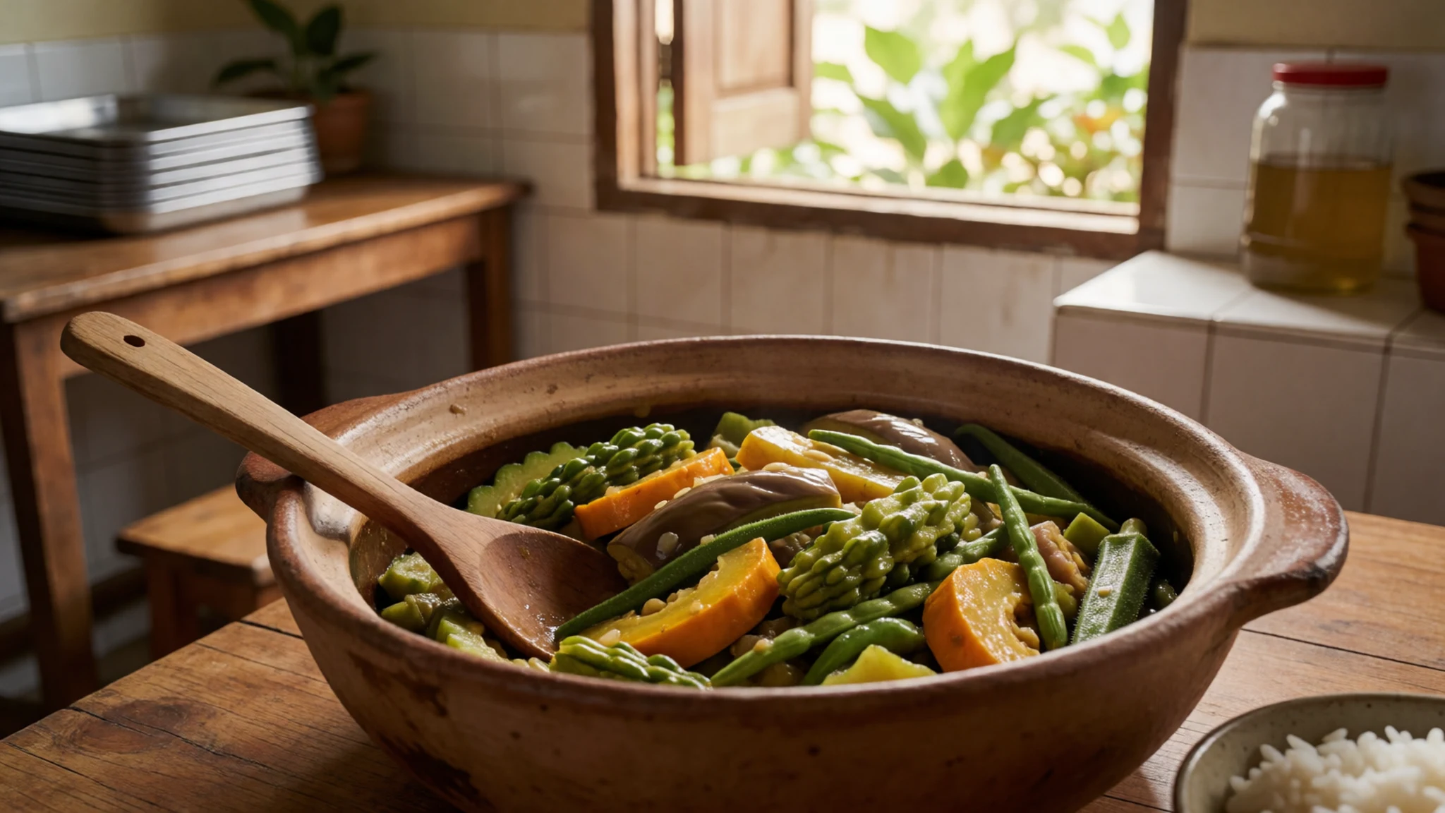
- Bicol Express — Family-run eateries across Bicol
Bicol Express is pork simmered in coconut milk with plenty of chilli, a signature of the Bicol region where heat and coconut run through the cooking. It is rich and fiery, so eat it with plenty of plain rice. Find it at family-run eateries. - Kapeng barako — Town markets and cafés in Batangas
Kapeng barako is a strong coffee from Batangas, made from locally grown liberica beans. It is bolder and more earthy than most cups served in the region. Buy a bag in a Batangas town market, or drink it at a local café. - Basi — Markets and small distilleries in Ilocos towns
Basi is a fermented drink from the Ilocos provinces, made from sugarcane, with a deep colour and a sweet-sour edge. Locals treat it as a ceremonial and everyday drink. Try a small glass in an Ilocos market town, preferably with food.
Plan it
Best time. December–April is the drier, cooler stretch and the easiest time for most of the island, with March–April getting very hot in Manila and the lowlands. The wet season brings heavy rain and typhoons, so check forecasts and allow flexible days if travelling then. Highland areas stay cool all year.
How long. 5–7
Getting there. Most visitors land at Ninoy Aquino International Airport (MNL) in Metro Manila, the main gateway, or at Clark Airport (CRK) in Angeles City, about 80 km from Manila and served by many budget airlines. Good roads and buses link both airports to the rest of Luzon. Ferries connect ports such as Batangas, Manila and Matnog to other island groups.
Budget. mid
Tips
- Pick one region and travel slowly, because traffic in and around Manila can turn short distances into half a day
- Start hikes and volcano visits before dawn, and check current volcanic alerts before heading to Taal or Mayon
- Carry cash for markets, jeepneys and small eateries, and keep valuables out of sight to avoid pickpockets
- Carry a rain layer and sun protection, and drink bottled or filtered water
- Book permits and guides for Mount Pulag ahead, using the official local channels
Etiquette
- Cover shoulders and knees in churches and ask before photographing people or ceremonies
- Raise a hand before crossing the road, since not all drivers stop at crossings
- Accept food offered by hosts politely, even if only a small portion
Nearby
Sources
- Wikidata Q125384 (CC0)
- Wikipedia — Luzon (rev 1385090216) (CC BY-SA 4.0)
- Wikivoyage — Luzon (rev 5341678) (CC BY-SA 4.0)
- Northern Philippines (Luzon).jpg (Public domain)
- Bangkang Pangpinawa (Mortar and pestle) — Ramon FVelasquez (CC0 1.0)
- 万国来朝图 Philippines Luzon island (吕宋国) delegates in Peking in 1761 (Public domain)
- Huang Qing Zhigong Tu — Qian long (Public domain)
- U.S. Navy ships under attack in Lingayen Gulf — USN (Public domain)
- Topographic map of northern Luzon — Alexander Altenhof (KaterBegemot) (CC BY 3.0)
- View of the north coast of Luzon — Brown R, Siler C et al. (CC BY 3.0)
- Mount Pulag, Kabayan, Philippines — Joanne Caselyn Suarez (CC0 1.0)


