Litchfield National Park
Litchfield National Park, Australia
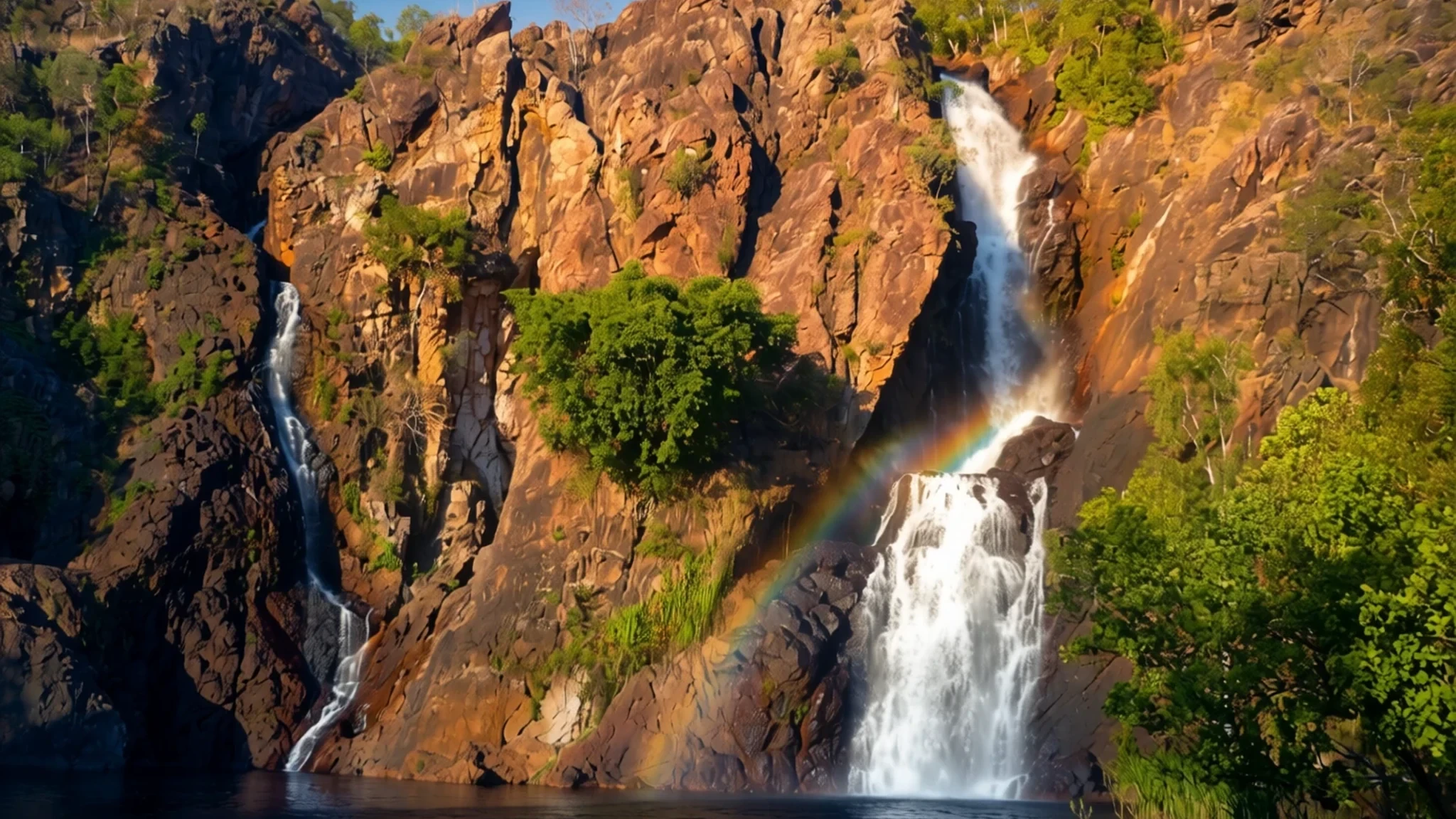
Waterfalls, monsoon forest and magnetic termite mounds, a short drive south-west of Darwin in the Northern Territory.
The place
Litchfield National Park covers about 1,500 square kilometres of the Northern Territory, roughly 100 kilometres south-west of Darwin and close to the township of Batchelor. Its character is typical of the Top End: a sandstone plateau known as the Tabletop Range, with waterfalls that drop from its edge into monsoon forest and pools below. The park is an important conservation reserve, and it draws more than 329,000 visitors a year, so it is one of the region's most visited day trips.
Beyond the falls there are weathered sandstone pillars such as the Lost City, historic settlement sites and the magnetic termite mounds, which are built in a striking, orderly alignment. The permanent spring-fed waterfalls of Florence, Tolmer and Wangi, along with the cascades at Buley Rockhole, are the main draw for most people. A wildlife cruise on the Reynolds River offers a quieter way to see the park's birds and reptiles from the water.
The park is also a place where Aboriginal heritage and pioneer history sit side by side. The Wagait people are the traditional owners, and many still live in the surrounding area. The ruins of Blyth Homestead, built in 1929 and abandoned in the 1960s, show how hard pastoral life was here.
Access is simpler than the park's size suggests. The paved approach runs through Batchelor, while the other two roads are dirt. The northern side can be covered from Darwin in a single day, but the sights away from the main road need a few more days and a four-wheel drive.
Its story
Aboriginal people have lived across this country for thousands of years, and the Kungarakan and Marranunggu peoples hold particular connections to it. For them, ancestral spirits are not confined to the past. They remain present in the land, and they shaped the rocks, water, plants and animals that visitors see in the park today.
European exploration came later. In 1864 the Finniss Expedition set out from South Australia, travelling by land on what was the first European journey to the Top End. Its aim was to explore as widely as possible and to found a settlement near Escape Cliffs, at the mouth of the Adelaide River. Earlier attempts to settle the northern coast, at Fort Dundas, Raffles Bay and Port Essington, had already collapsed.
The expedition was led on the ground by Boyle Travers Finniss, a surveyor and soldier who had been appointed the South Australian government's Resident in the Northern Territory. The site he chose near Escape Cliffs proved a poor one. Within a short time the colony faced hunger and infection, and the men under Finniss grew hostile towards him.
One member of the party, Frederick Henry Litchfield, later led a small group to examine the Daly River in September 1865. The area that is now the park was first visited by Europeans on that journey, and the park takes its name from him.
Later pastoral settlement left its own traces. The ruins of Blyth Homestead, built in 1929 and abandoned in the 1960s, remind visitors how difficult it was for pioneers to make a living on this land. Today the park protects both the Aboriginal heritage and these remnants of settler life.
What to see
- Wangi Falls — Northern side of the park, Wangi Falls Road
Wangi Falls is the park's busiest swimming and picnic spot, and a good base for exploring. Its campground has hot showers, toilets, barbecues and a kiosk, and it is the only area in the park suited to caravans. Swim only where signs say the water is safe, since crocodiles can turn up in waters not declared safe.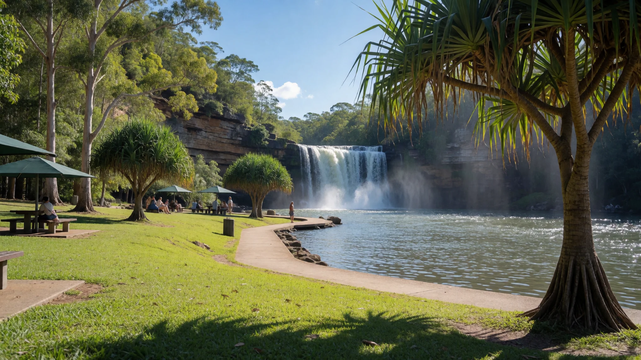
- Florence Falls — Central park, off the main road from Batchelor
Florence Falls is a double waterfall dropping through monsoon forest, a short drive from the termite mounds viewing platform. A steep path of 160 steps leads down to the plunge pool, which is tiring in the heat but worth it for the cool water. If you would rather not descend, the lookout at the top still gives a clear view of the forest and falls.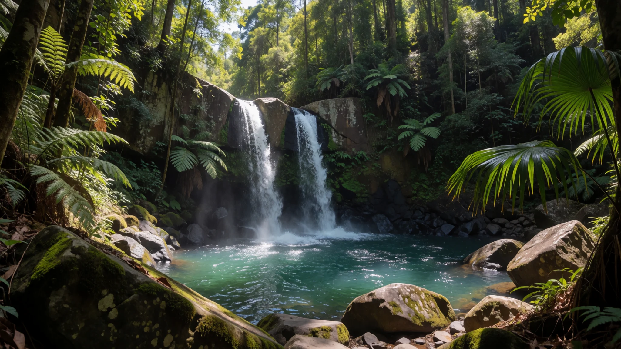
- Buley Rockhole — Central park, above Florence Falls
Buley Rockhole is a series of cascades and natural pools on the sandstone above Florence Falls, and one of the park's most enjoyable stops for an afternoon. The water is shallow in places and fast in others, so take care on the wet rocks. Arrive early in the dry season, as the pools fill with families by midday.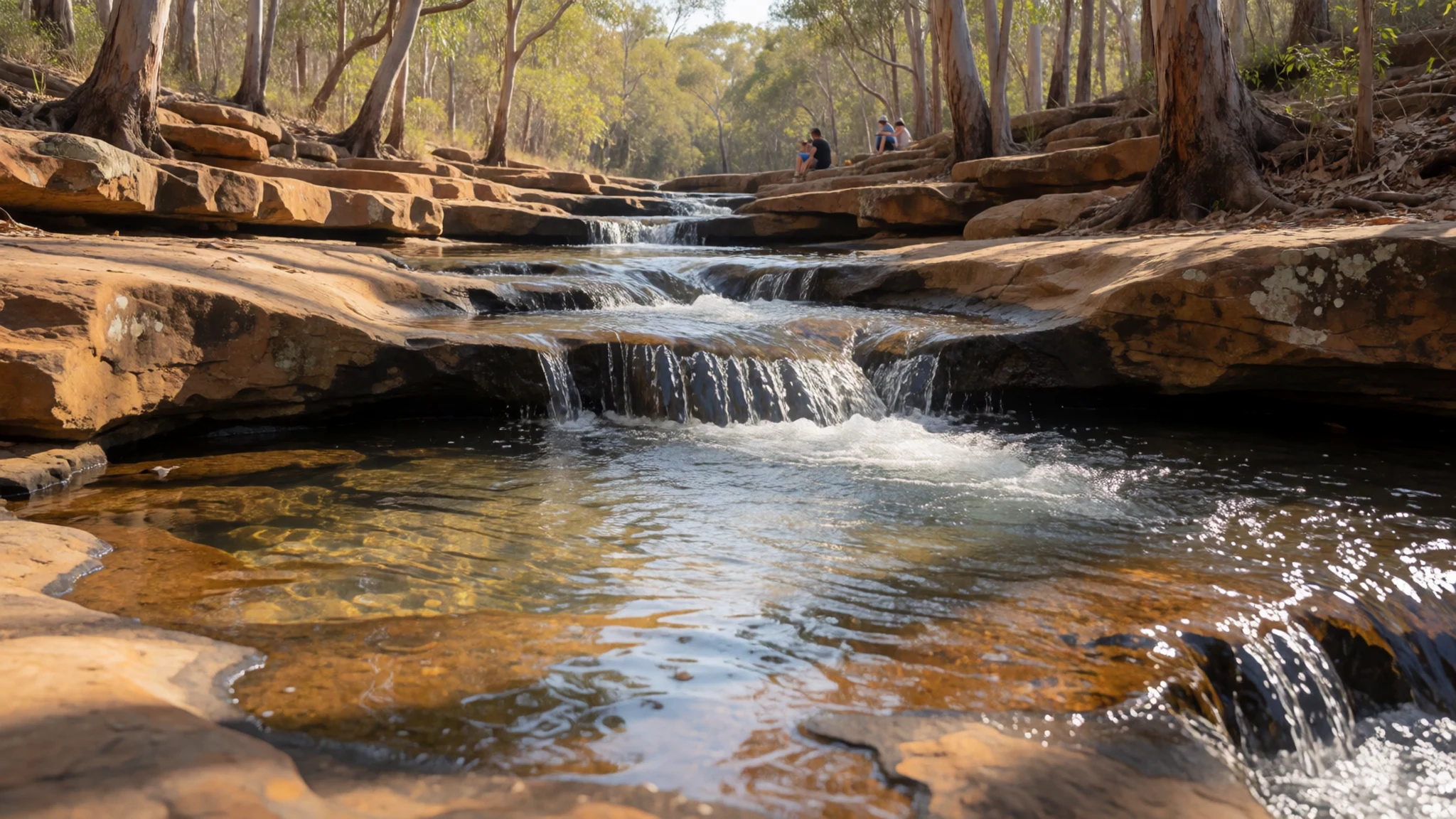
- Magnetic termite mounds — Eastern park, near the termite mounds viewing area
The magnetic termite mounds stand about 17 km from the park's eastern boundary, and they are the first big group you reach. Built by termites, they are thin slabs aligned roughly north-south, a shape that helps the colony manage heat. Read the sign by the mounds for the details of how they work, and look for the arches, tunnels and chimneys.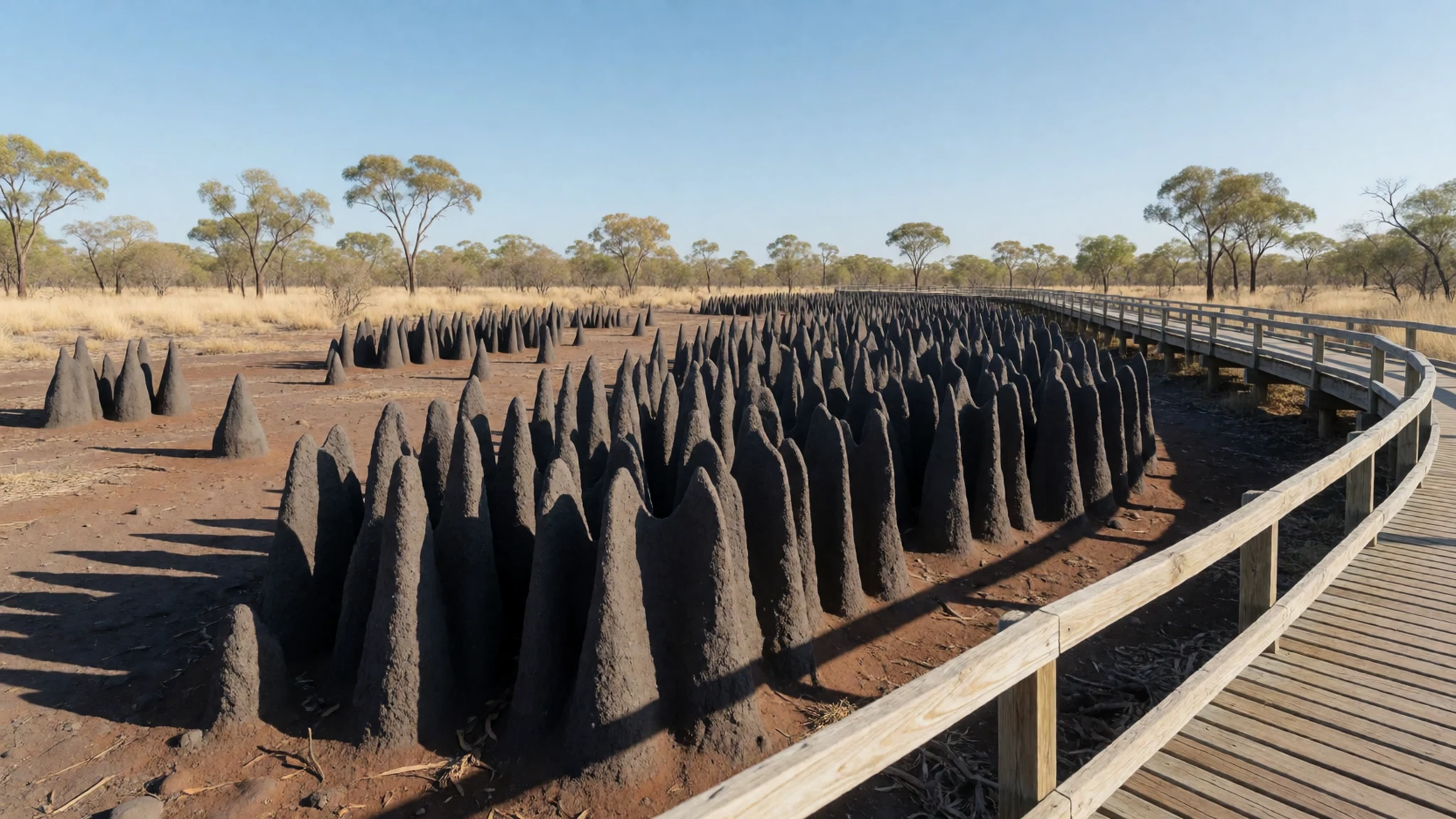
Culture
Litchfield sits on land whose traditional owners are the Wagait people, and many still live in the wider area. Their connection to Country is ongoing, and the park is part of that story rather than a backdrop to it. Visitors who take the time to read the interpretive signs about Aboriginal heritage tend to get far more from the place than those who simply pass through.
Life in the park follows the outdoors. Birds, reptiles, marsupials and insects are all part of the experience, and crocodile warnings are posted for good reason. Heeding those signs, staying on marked paths and leaving the bush undisturbed are the everyday courtesies that keep the park in good condition for everyone.
Noise and manners matter at busy swimming holes, where families share small pools and lookouts. Keep voices moderate at the falls, give walkers room on narrow tracks, and let people finish their swim before you climb in. Photograph rock art and sacred sites only with care, and never photograph Aboriginal people or ceremonies without clear permission.
Leave every rock, stick and shell where you found it, and never take sand or stones from the park.
What to wear
Traditional dress in the Top End was practical and often minimal. Body decoration used natural ochre and other pigments, and everyday objects such as woven pandanus mats and fibre dilly bags were made for carrying food and tools. Some of these crafts are still made today, so if you buy one, ask the maker or a reputable dealer about its origin.
What people wear now is shaped by the heat. Most visitors and locals wear light cotton shirts, shorts and wide-brimmed hats, with sturdy closed shoes on the tracks. Work clothing is still common around Batchelor, where people wear practical boots, long-sleeved shirts and wide hats.
For a visit, choose loose, light, breathable clothing, ideally with long sleeves for sun and mosquitoes. Wear closed shoes with good grip for wet rock and steep paths around the falls, and bring sandals for the car and the pools. Pack a hat, a swimsuit that you can wear under your clothes, and a DEET-based repellent for evening walks or camping.
What to eat
- Barramundi and chips — Darwin restaurants and Batchelor eateries
Barramundi, a local river fish, appears on many menus in Darwin and sometimes at the small eateries near Batchelor. Look for it grilled with lemon or in a fish burger, and eat it while the day is still cool. It makes a satisfying lunch after a morning of walking.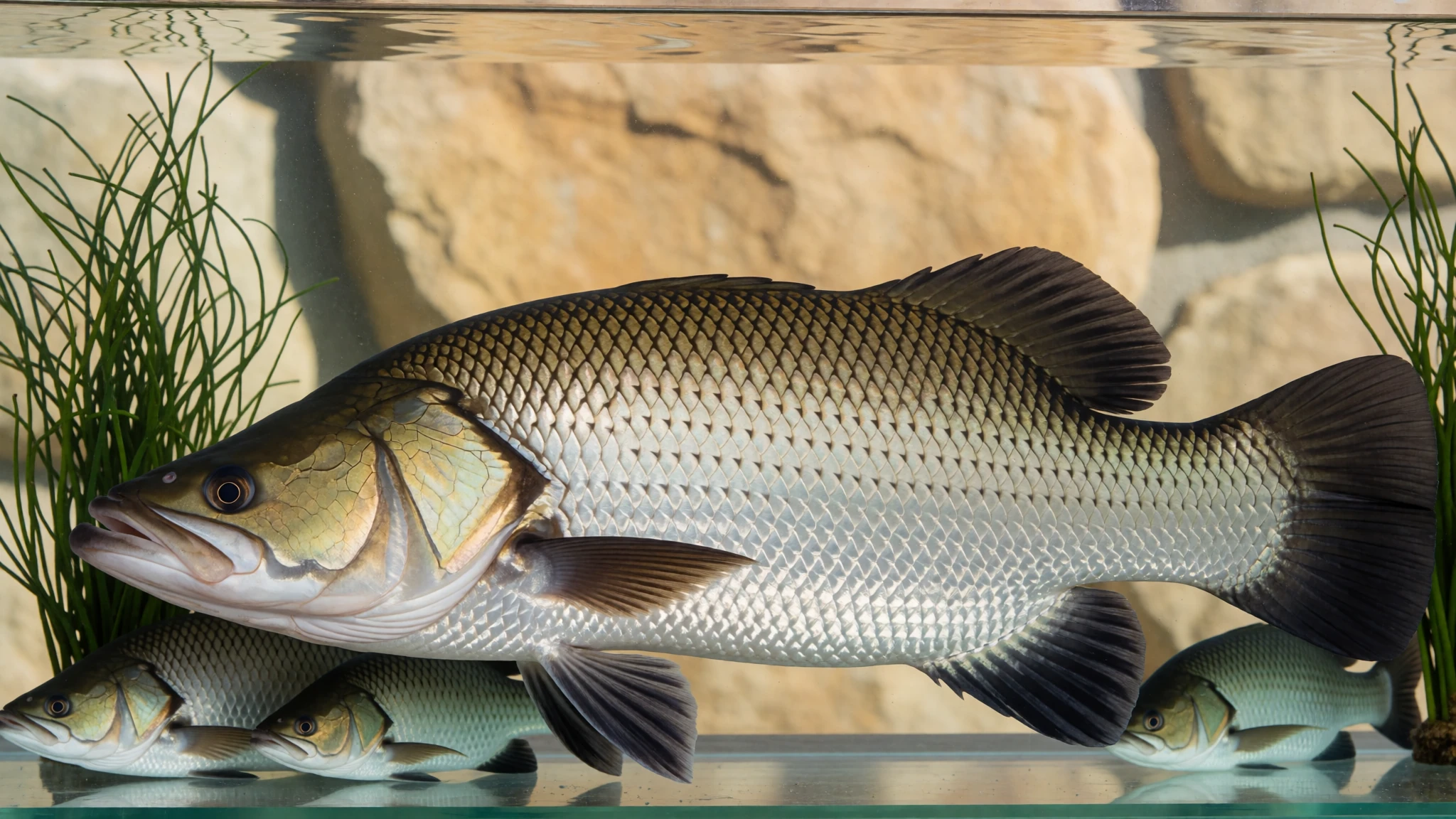
- Iced coffee and a toasted sandwich — Litchfield Cafe, north-western end of the park
The Litchfield Cafe sits at the north-western end of the park and is a low-key spot that suits a lunch between walks. It is well placed for a daytripper who wants something simple. Order a cold drink and a sandwich, and sit down before the midday heat builds.
- Snack by the falls — Wangi Falls Cafe, beside the falls
Wangi Falls Cafe is a small cafe beside the falls, with a verandah and a pleasant outlook over the water. It suits a light snack after a swim. Keep your order simple, as the menu is small and the cafe is busy when the falls are popular. - Tropical fruit juice — Cafes and market stalls on the road in from Darwin
Mango and passionfruit juices are common across the Top End, and a cold one is an easy way to recover from the heat after a walk. Look for them at cafes and market stalls on the road in from Darwin, and carry a bottle of water as well.
Plan it
Best time. The dry season, roughly May to October, is the most comfortable time to visit, and the roads and walking tracks are more reliable then. The wet season from about November to April brings heavy rain and flooding, and some tracks can close, although the waterfalls run strongest at that time.
How long. 2–3
Getting there. Fly into Darwin, then drive about 100 km south-west; the last leg runs along the sealed road through Batchelor. A four-wheel drive is needed for the dirt tracks to the quieter sights.
Budget. mid
Tips
- Start walks early and finish before the afternoon heat builds.
- In warm weather, bring a litre of water for each hour spent walking.
- Check campground availability before you travel, since the public camping grounds can fill.
- If you plan a longer walk, sign the overnight bushwalking register before you set off.
- Tell someone your route and when you expect to return, and carry a map you can read.
- Carry some cash and check before you go which eateries take cards.
Etiquette
- Keep to marked tracks and stay out of areas that are closed.
- Swim only where the signs show the water is safe.
- Take all rubbish away with you.
Nearby
Sources
- Wikidata Q1568376 (CC0)
- Wikipedia: Litchfield National Park (rev 1364514801) (CC BY-SA 4.0)
- Wikivoyage: Litchfield National Park (rev 5409307) (CC BY-SA 4.0)
- Buley Rockhole above Florence Falls, W. Bulach (CC BY-SA 4.0)
- Wangi Falls, Bäras (CC BY 3.0)
- Litchfield National Park termite mounds, unknown author (CC BY 3.0)
- Litchfield National Park-31, Hansjoerg Morandell (CC BY 2.5)
- Florence falls, unknown author (CC BY 3.0)
- Buley Rockhole, Bidgee (CC BY 3.0)
- Tolmer Falls, Jerrye and Roy Klotz MD (CC BY 3.0)
- Magnetic Termite Mounds, Bidgee (CC BY 3.0)


