Lindisfarne
Lindisfarne, United Kingdom
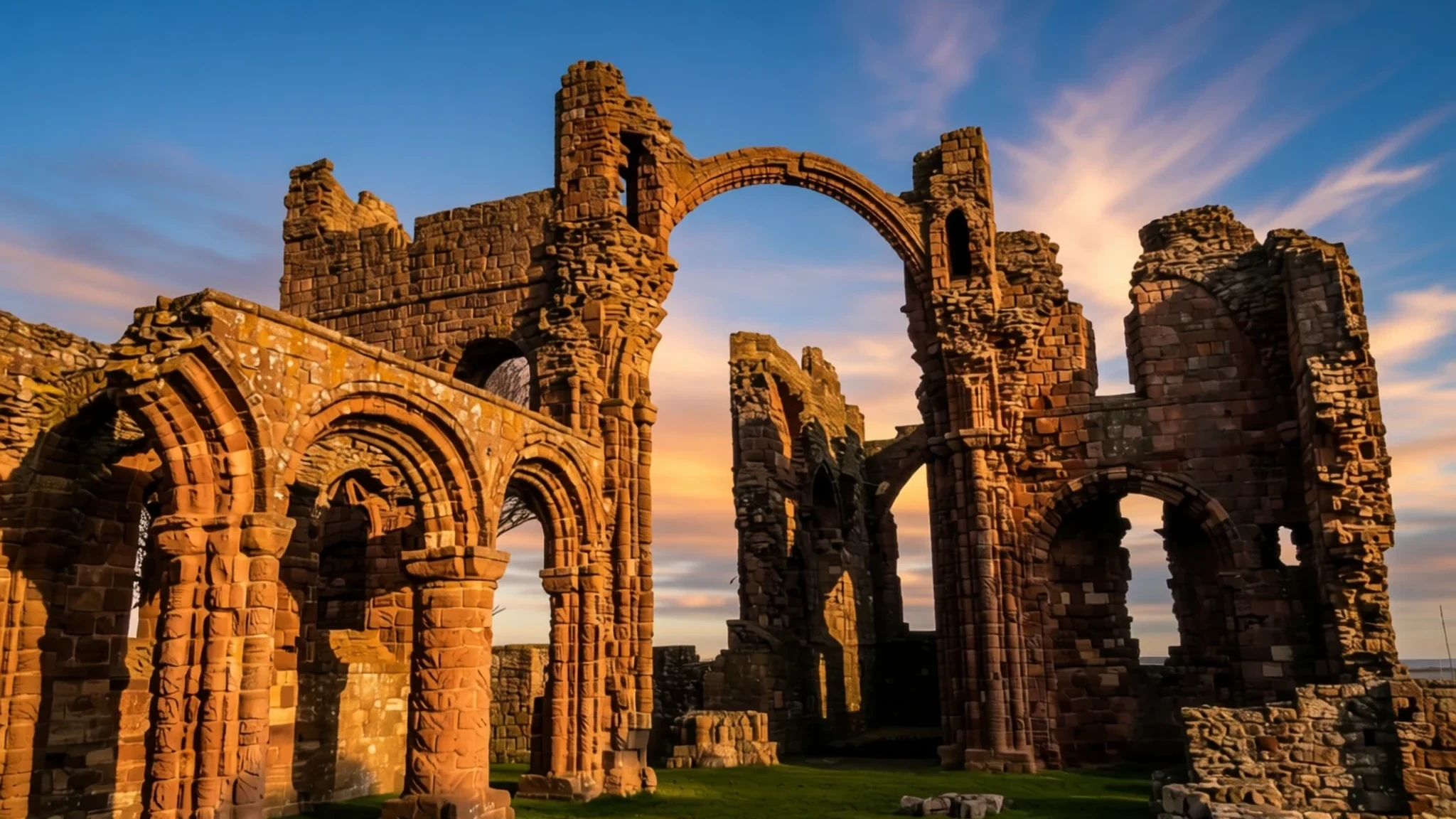
A tidal island reached on foot across the sands, where a ruined priory, a castle and the rhythm of the tide shape the whole day.
The place
Lindisfarne, also called Holy Island, is a tidal island off the north-east coast of England, close to the Scottish border. It forms the civil parish of Holy Island in Northumberland and has a population of about 160, so it feels more like a village than a town. The island measures roughly 4.8 km (3.0 miles) from east to west and 2.4 km (1.5 miles) from north to south. At high tide about 400 hectares remain above water, and the nearest point of the mainland lies about 1.3 km away.
What sets the island apart is access. For much of the day the sea surrounds it, and a road and an older pilgrims' path cross the sand and mudflats only when the tide is low. The water timetable sets the pace of every visit: arrivals, departures, opening times and the choice of when to walk back all follow the tide tables. The village is compact, with stone cottages, a few cafés and pubs, and small shops selling local mead and gin.
The landscape is open, with wide skies, changing light and wading birds on the mudflats. The island lies within the Northumberland Coast National Landscape, and bird watching draws many visitors alongside the historic sites. Most of the old monastic buildings are now ruined, but the parish church is still in use and the castle on its rocky outcrop still dominates the skyline. The island suits a day trip or a few quiet nights, and slow walking rewards visitors more than any checklist of sights.
Its story
The story of Lindisfarne begins in the sixth century, when the north-east coast was only lightly settled and the island already had a recorded history. Its importance grew in the 630s, when Irish monks founded a monastery that became a centre of Celtic Christianity in northern England. Saints associated with the island, including Aidan and Cuthbert, along with the scribes linked to its famous gospel book, gave the place a reputation that reached well beyond the coast. The monastery stood for roughly nine centuries, a long run for a community on so small and exposed an island.
That prominence also made it a target. Raids from the sea reached the community, and the original monastery was destroyed. After the Norman Conquest the site was re-established as a priory, and monks returned to a community shaped by these upheavals. Much of the priory has since fallen into ruin, yet the stonework that survives shows the scale of what once stood here.
Earlier, the wider coast had been contested. Anglian rulers pushed settlement along the shore, founding a royal base across the bay at Bamburgh. An old chronicle describes a three-day siege of the island by British princes, which ended when internal quarrels weakened the attackers. The account is hard to verify, but it shows how the island sat at the edge of competing kingdoms.
Later centuries brought the castle, built in 1549 from stone taken out of the dissolved priory, followed by lighthouses, a lifeboat station and a network of lime kilns. The island's ground is mostly flat sand, mud and low rock, shaped by tides rather than hills. Its story is less a sequence of grand monuments than a record of a community repeatedly reshaped by the sea and by those who wanted what the island controlled.
What to see
- Lindisfarne Priory — Village centre, the priory grounds
Lindisfarne Priory is the ruined monastic compound at the heart of the island, and most visitors start here. Carved arches and window openings hint at the scale of the old buildings, and the stonework is ornate in places. St Mary the Virgin, the parish church within the compound, has been restored and still holds services, so the site is a place of worship as well as a ruin. Allow an hour or more to walk the grounds.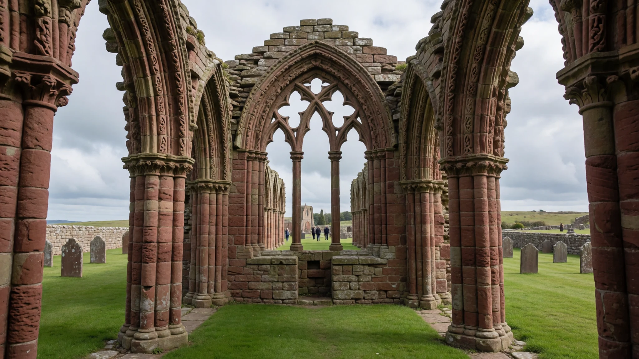
- Lindisfarne Castle — Rocky outcrop above the harbour, south-east of the village
Lindisfarne Castle stands on a rocky outcrop above the harbour, a short climb from the village. It was built in 1549 with masonry from the dissolved priory, to guard against threats from the north. Once Scotland and England were united, the defensive need faded. Go for the walk up and the views across the sand and sea.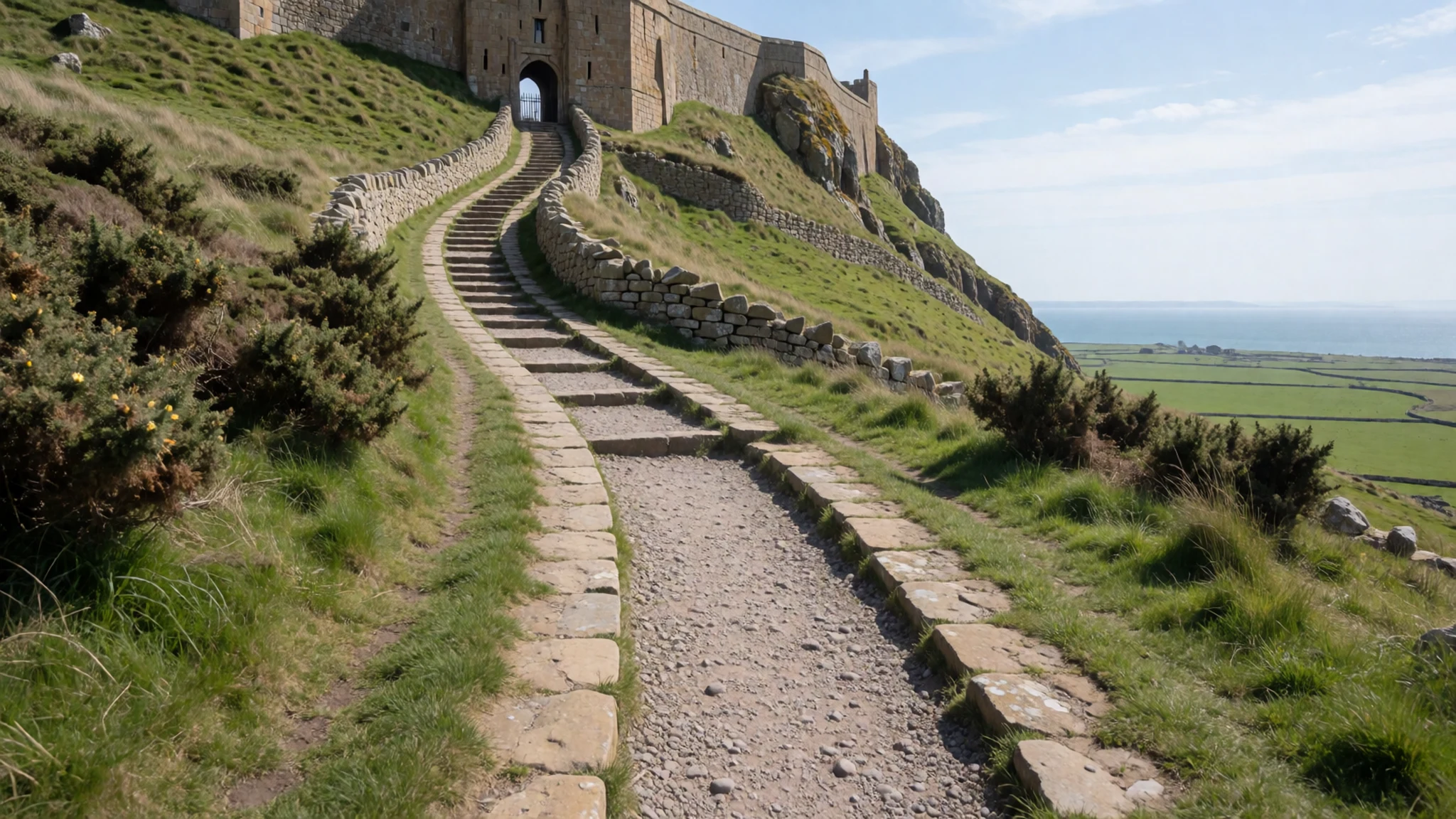
- Lindisfarne Heritage Centre — Village centre
The Heritage Centre sets out the island's history in plain terms, from early Christian settlement to its later life as a fishing and lighthouse community. A gift shop sits alongside the displays. It suits a wet hour or a first visit, when the sequence of monks, raiders, priory and castle is still a blur. Check the official site for current opening arrangements before planning around it.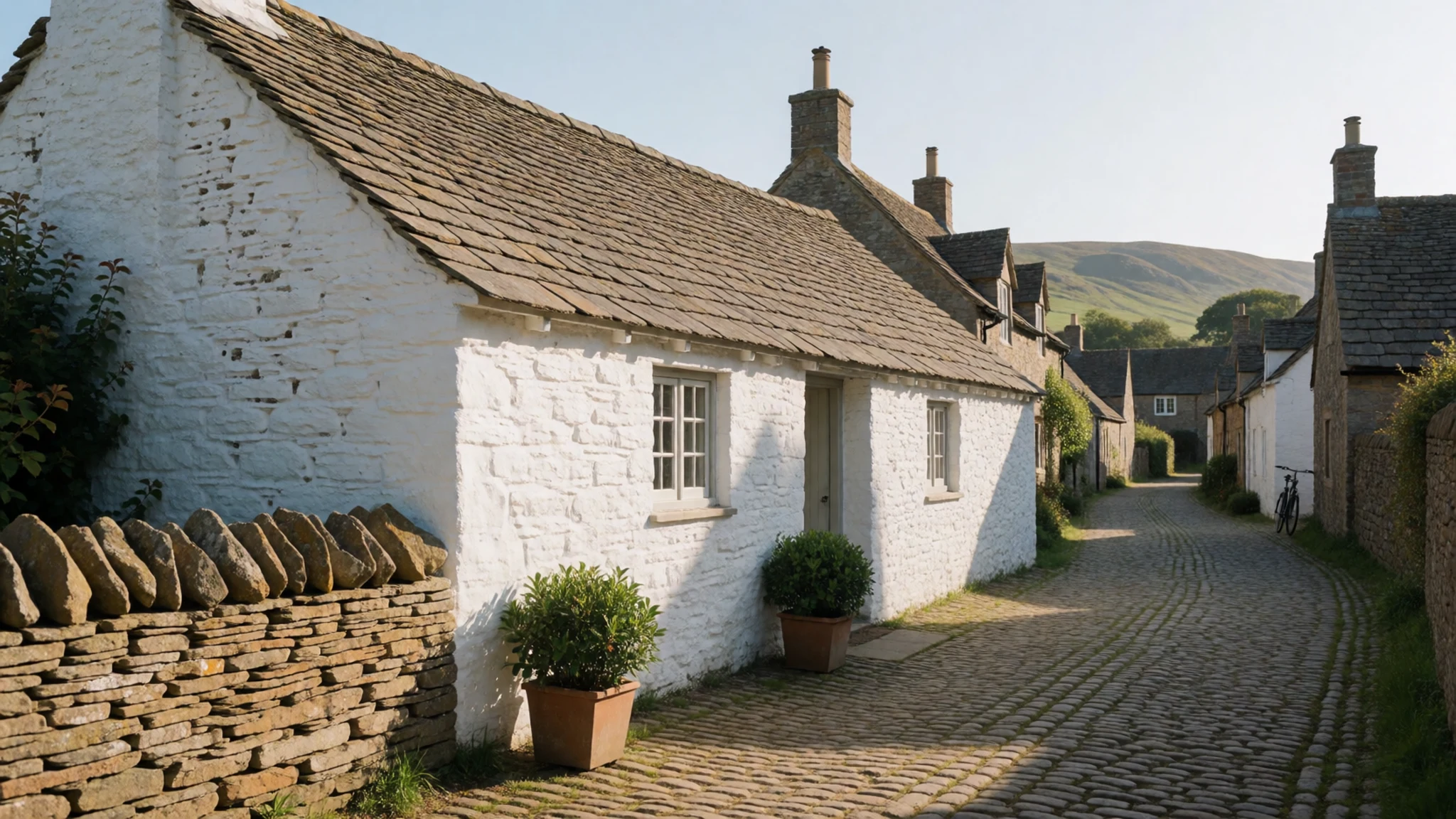
- St Cuthbert's Island — Tidal islet off the south shore
Off the south shore lies the tidal islet of St Cuthbert, where the saint once lived as a hermit. Its chapel, dating from the thirteenth century, rose on the site of his hermitage, and a wooden cross now marks the ruin. The islet can only be reached at the bottom of the tide, across soft wet sand. Time the crossing carefully and do not linger.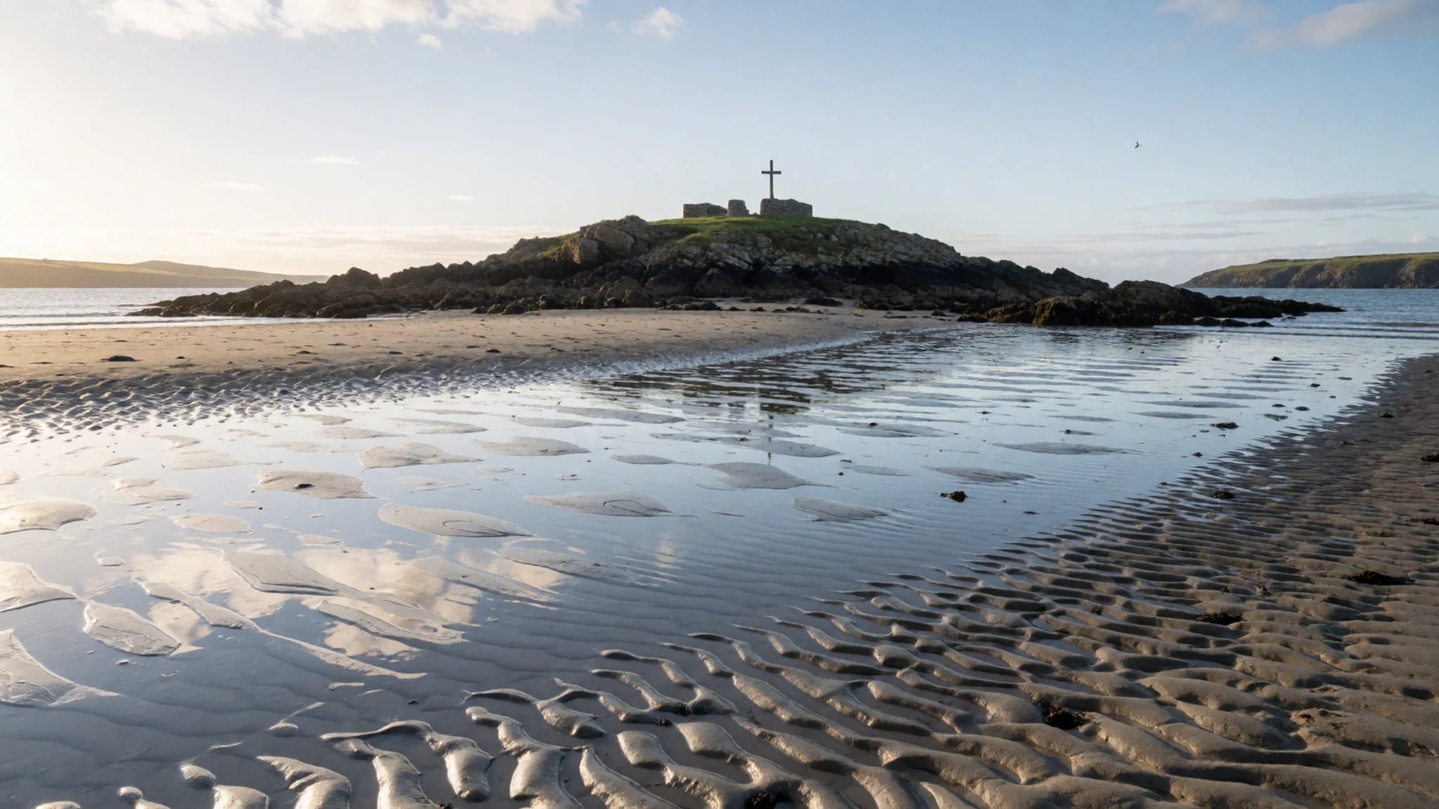
- Lifeboats Museum — Opposite St Mary's church, village centre
The Lifeboats Museum occupies a stone boathouse directly opposite St Mary's church, and it is worth stopping for. A lifeboat was stationed here from 1865 until 1967, when rescue helicopters took over the work. The displays concentrate on the lifeboat service and the crews who launched from this shore. The boathouse itself is worth a look even if time is short.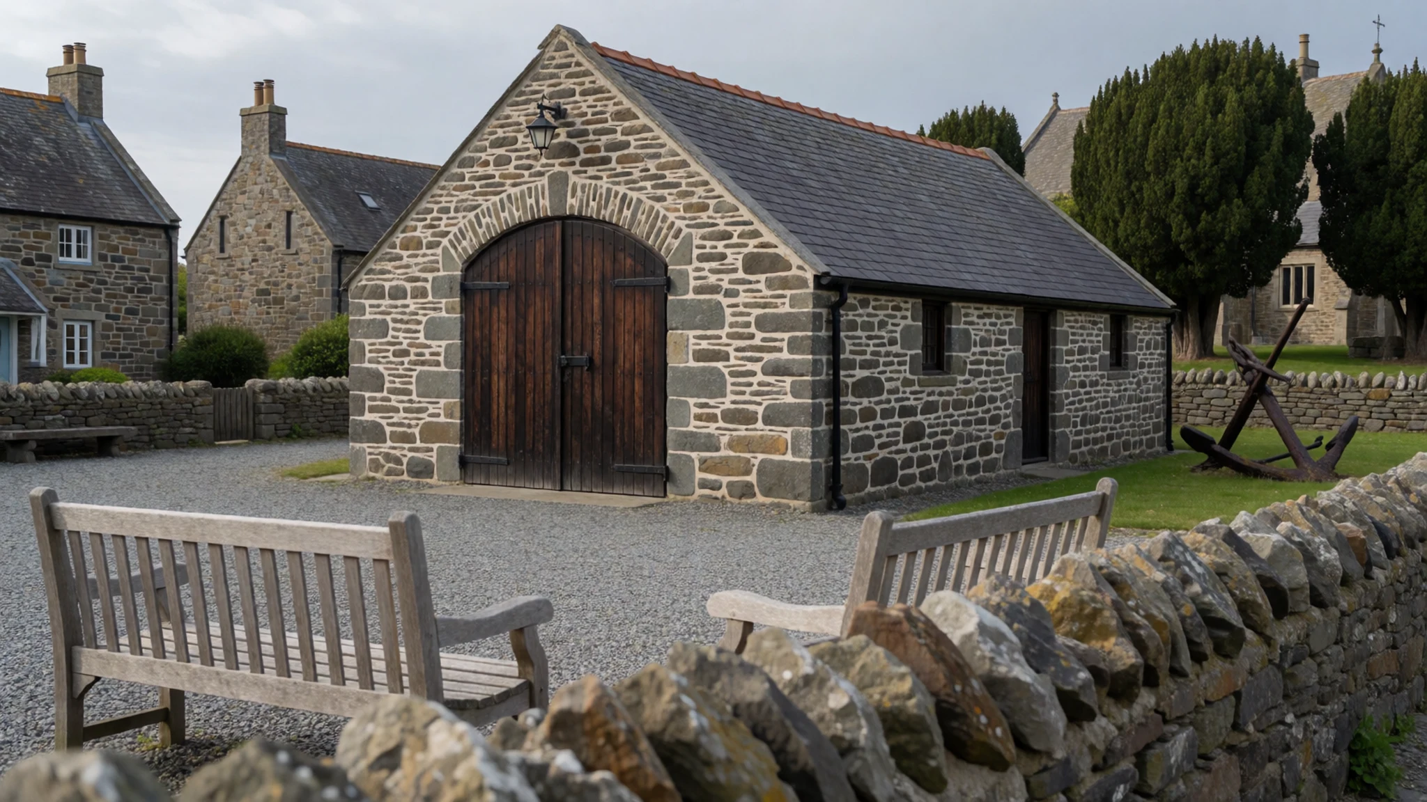
Culture
Lindisfarne has drawn artists for generations. J. M. W. Turner, Thomas Girtin and Charles Rennie Mackintosh all painted on the island, and the light over the flats and ruins still attracts sketchbooks. Television has also taken the island up. It appeared on a programme about the wonders of the north, and the Lindisfarne Gospels, a manuscript linked to the monastery, have featured in a series on the treasures of Britain. An ITV Tyne Tees series called Diary of an Island, first broadcast in 2007, followed life here.
Music gives the island a second name. The English folk-rock band Lindisfarne took its name from the place, and the musician James Blake wrote two electronic songs named after it for his 2011 album. Visitors who know the songs often arrive curious about the link, though the island itself is quiet and its small resident community keeps the place running through the tide cycle. Ask before photographing anyone at prayer, and keep your voice low inside St Mary's, which is still an active church.
What to wear
Lindisfarne has no costume of its own, and the working clothes of its fishing families were the practical oilskins, wool jerseys and boots common along the wider Northumberland coast. Textiles that mattered here were wool for warmth and waxed cloth against spray, not decorative fabrics.
People on the island now dress for wind and weather, in waterproof jackets, fleeces and sturdy footwear. Formal clothes are rare outside the church, and most people wear the same practical layers they would on any exposed coast.
Dress for wind off the sea even on a mild day, with a waterproof outer layer and a warm middle layer. Choose boots or shoes with good grip for mud, wet stone and the causeway. For St Mary's, tidy and modest clothing is sensible, though no formal dress code applies.
What to eat
- Seafood from a mobile takeaway — Chare End car park, a mobile takeaway
Fresh fish and shellfish from the North Sea form the core of the island's takeaway food. A mobile seafood bar works from the Chare End car park, which makes it an easy stop before or after the causeway walk. Eat on the seawall if the wind allows, or in the car if it does not.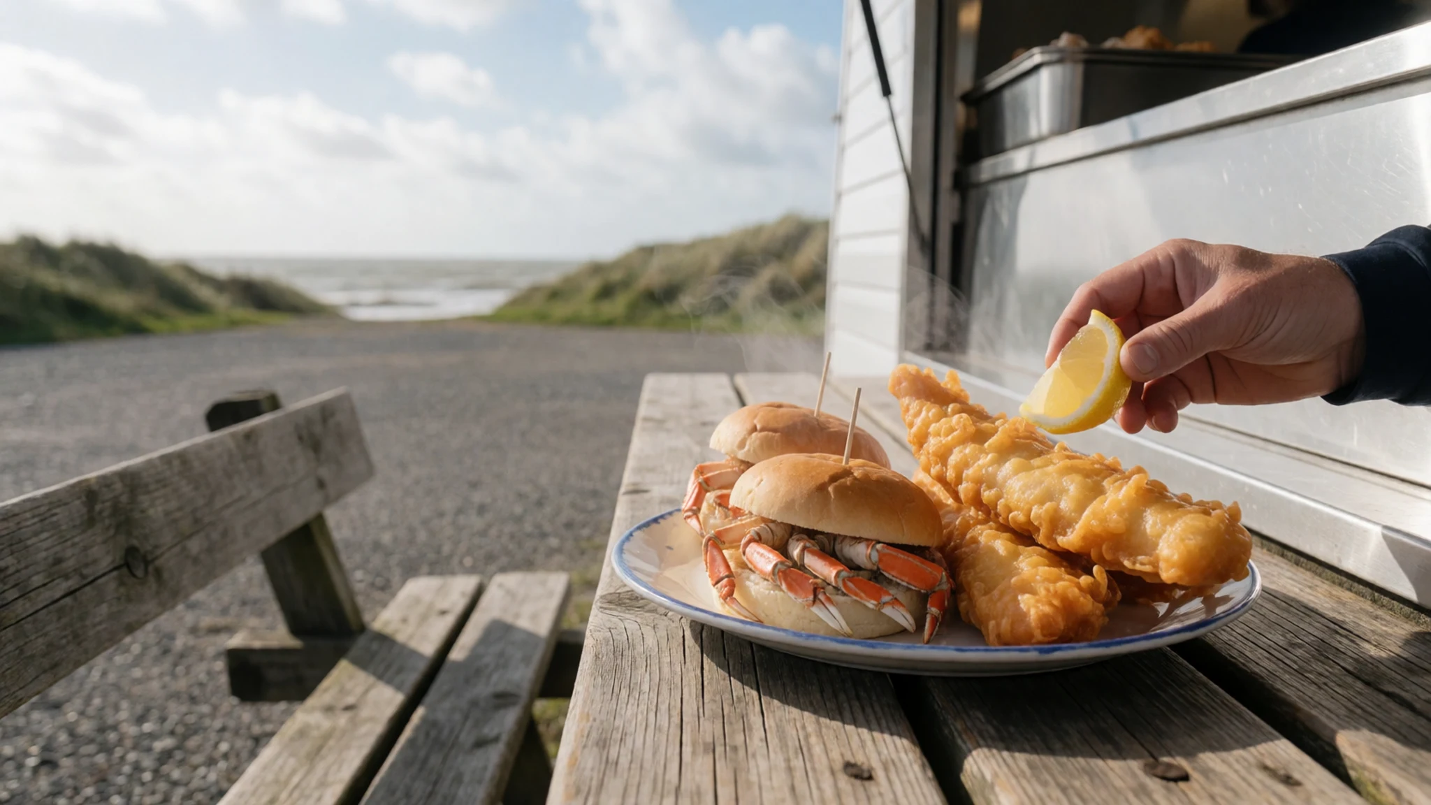
- Coffee and a simple lunch — The village centre cafés
A handful of cafés cluster in the village centre, serving coffee, tea and simple lunches between walks. They are the natural place to warm up after the sands. Opening times vary with the tide and the season, so arrive at a café that looks open rather than planning around a set hour.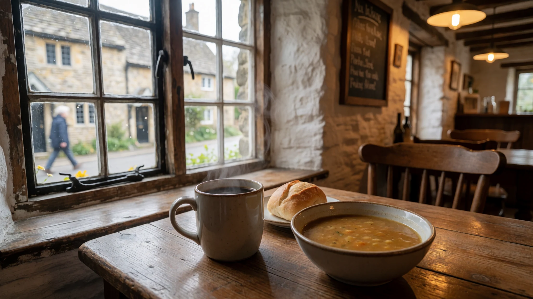
- Lindisfarne mead — The island shop in the village
The island's mead is brewed from honey, and it is the local product to try. It is sweet and light, and makes a good bottle to take home. The shop that sells it also stocks rum and beer, though those are made in Alnwick rather than on the island. - Gin from the Ship Inn — The Ship Inn, Marygate
A small gin is distilled within the Ship Inn on Marygate, under the name 793 Spirits. The pub is the usual place to sample it in the evening, when locals and visitors share the bar. Ask for a measure before you buy a bottle to take away.
Plan it
Best time. Spring and early autumn are the easiest months, when the weather is milder and daylight is long enough to fit the crossing around the tide. The wind can blow hard in any season, so plan around the tide table rather than the calendar.
How long. 1–2
Getting there. Berwick-upon-Tweed is the nearest railway station. Buses between Newcastle and Berwick stop at Beal, from where it is about two miles to the start of the causeway by road. The last leg is the causeway itself, roughly a mile across sand, then two miles along the Snook to the village.
Budget. mid
Tips
- Check the tide tables before setting off; Northumberland County Council publishes safe crossing times, and Easytide gives free predictions seven days ahead.
- The causeway is closed from two hours before high tide until three hours after, so plan your crossing around that window.
- Never attempt the causeway when water is lapping over it; the road dips low and the tide can rise quickly, especially with a north-easterly wind.
- Do not park in the layby near the causeway, which the council has closed, and check the official notices before you arrive.
- Carry water, warm layers and waterproofs, and bring some cash for small purchases in case cards are not accepted.
Etiquette
- Keep well clear of the sea edge when the tide is turning.
- Keep voices low inside St Mary's, which is still an active church.
- Do not stop on the road to read the tide boards.
Nearby
Sources
- Wikidata Q213804 (CC0)
- Wikipedia (rev 1380740673) (CC BY-SA 4.0)
- Wikivoyage (rev 5353026) (CC BY-SA 4.0)
- Photo 01 Lindisfarne Castle, Matthew Hunt (CC BY 2.5)
- Photo 02 Holy Island sunrise, Chris Combe (CC BY 2.5)
- Photo 03 Holy Island overview, Nilfanion (CC BY 3.0)
- Photo 04 Lindisfarne causeway, Fangz (CC BY-SA 4.0)
- Photo 05 Priory ruins and St Aidan statue, Kim Traynor (CC BY 3.0)
- Photo 06 Viking Raider Doomsday Stone, User:Schillerwein (CC0 1.0)
- Photo 07 Lidar image of Holy Island, Dr John Wells (CC BY 4.0)
- Photo 08 Ruined Abbey and St Mary's, Russ Hamer (CC BY 3.0)


