Likoma Island
Likoma Island, Malawi
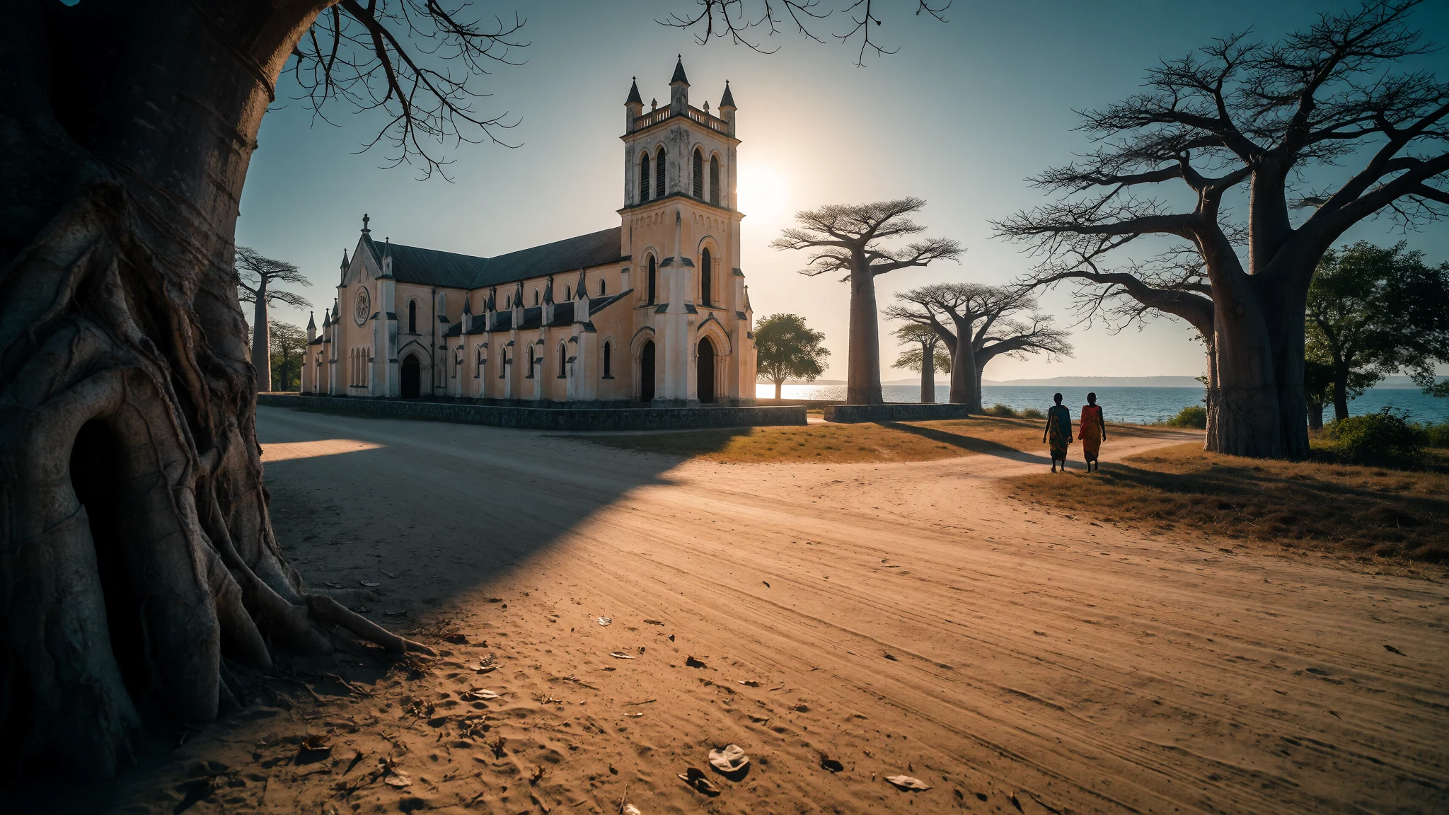
Likoma Island is a slow, lake-bound outpost of Malawi, ringed by Mozambican water, with a huge cathedral, baobab-lined tracks and clear swimming.
The place
Likoma Island lies in the north-eastern part of Lake Malawi, and it is the larger of the two islands that make up Malawi's Likoma District. The smaller one is Chizumulu, a short hop away. The geography is odd: both islands sit within Mozambique's waters, only a few kilometres off the Mozambican shore, yet they belong to Malawi. Cobué, the nearest Mozambican town, is just across the water, while the closest Malawian mainland town is Chintheche. That makes Likoma an exclave in the fullest sense, reached by crossing a lake rather than a border post.
About ten thousand people live here (the facts record 10,440), mostly in villages strung along dust roads shaded by baobabs. The island is small enough to cross on foot in a day, and the pace is set by the lake: fishing canoes at dawn, fish drying on the sand, children heading to school past the cathedral. The water is the horizon in every direction, and on clear days the Mozambican hills show on one side.
Power comes from a generator and a solar bank, so lights stay on through the night apart from a brief switchover late in the evening. Tap water and bottled water are both sold. Facilities are modest, there is a bank branch in the administrative area, and nothing here feels hurried. Likoma suits people who like walking, swimming and sitting still, and it will frustrate anyone wanting nightlife or tight schedules. Its elevation is recorded as 538 m, a reminder that Lake Malawi itself sits high above sea level.
Its story
The human story of Likoma begins with flight. When slave trading ravaged the lakeshore communities, people fled to the island as a refuge, and settlement grew from those arrivals. The lake gave them distance from raiders, and fishing gave them a living once they had settled.
A second wave of arrivals came in the late nineteenth century. Missionaries of the Universities' Mission to Central Africa, responding to an appeal from David Livingstone, chose Likoma as their headquarters. They built on a scale that still surprises visitors: the cathedral and its cloister are far larger than a small island would seem to need, and they remain the most conspicuous buildings on Likoma. The mission shaped schooling, worship and local institutions for generations, and its legacy is part of daily life today.
That British missionary presence also explains the island's odd political position. When borders in East Africa were settled after the Second World War, Likoma and Chizumulu were assigned to Malawi rather than Mozambique, partly because of the mission's long association with the islands. The result is the geographical puzzle visitors notice on any map: Malawian soil sitting entirely within Mozambican waters.
The story is not one of tidy borders or neat colonial design. It is about refuge, faith and an accident of history, written onto a small piece of land whose people still live by the lake and travel across it, much as their ancestors did.
What to see
- St Peter's Cathedral — Central Likoma
The cathedral and its adjoining cloister date from the early twentieth century and are far bigger than a small island would suggest. Guards may offer to take visitors up the tower for a wide view over the roofs, the lake and the Mozambican shore. Go in the cooler morning hours. - Ringing Rock — North of the island
A concave boulder that rings like a bell when struck with a stone. Local guardians from the nearby village guide visitors and ask a contribution for their community, so carry small notes in cash and agree the amount first. It is a short, cheerful detour on the north side. - South coast viewpoint — South coast
A rocky promontory with a stone seat and table, facing out over the southern shoreline and across to Mozambique. It rewards a slow walk, ideally late in the afternoon when the heat eases. Bring water and a hat, as there is little shade on the rock.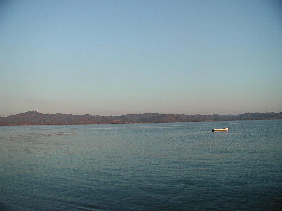
- Fudwe Museum — Near the lakeshore, east side
A small museum with a modest collection of artefacts and explanatory notes on island life. It was being refurbished when the listing was last updated, so check locally whether it is open before making a special trip. It suits a short, quiet visit between the cathedral and the shore. - Baobab tracks and lake swimming — Island-wide
Dust roads shaded by baobabs make the best walking on the island, with fishing villages and lake views along the way. Snorkelling is popular at the north-eastern end of the main island, where colourful fish gather. Canoeing and scuba diving are also possible; ask locally about operators.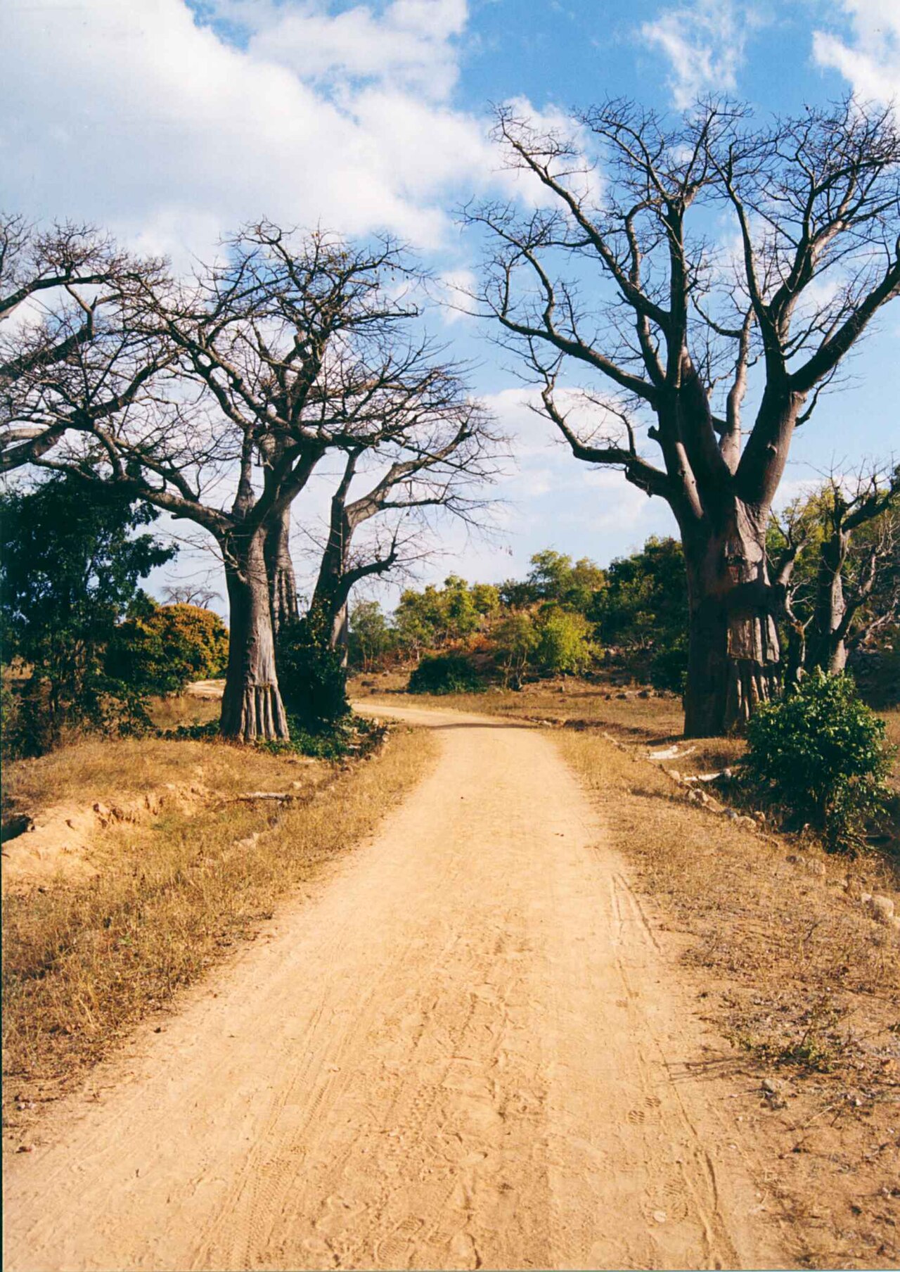
Culture
Likoma Island's culture is shaped by two things: the lake and the church. Life revolves around fishing, with canoes dug out from single logs setting off in the dark and the catch sold, dried or eaten the same day. Fish selling is a common livelihood, and the beach is both workplace and meeting place.
Christianity runs deep here because of the mission that made the island its headquarters. The cathedral still anchors community life, and services, hymns and festivals are woven into the calendar. Church bells, school routines and market days give the island a steady rhythm, and many residents are happy to chat about the island's history if approached with patience and a greeting.
The island's people have also long lived with an unusual political situation, being Malawian citizens surrounded by Mozambican waters. Trade, family ties and boat journeys across the water are part of everyday life, and the lake is as much a road as a boundary.
Hospitality tends to be quiet and unforced. Visitors will find that unhurried conversation matters more than efficiency, and that a handshake and a few words of greeting go a long way. Fishing gear, canoes and drying racks are people's livelihoods, not props, so treat them with the same respect you would give a shop or a workshop.
Ask before photographing anyone, their canoes or their drying fish, and dress modestly when entering the cathedral or walking through villages.
What to wear
Traditional dress around Lake Malawi centres on the chitenje, a rectangular printed cotton cloth worn by women as a wrap skirt, tied at the waist, and also used as a head covering, a baby carrier or a shawl. Men may wear the same cloth as a wrap at home or on formal occasions. Bright patterns are common at weddings, church celebrations and funerals, when people dress to honour the event.
In daily life on Likoma, clothing is practical and often second-hand. Fishermen wear shorts, old shirts and sometimes rubber sandals or go barefoot on the sand. Women combine a chitenje with a blouse or T-shirt, and schoolchildren wear simple uniforms. On Sundays people dress up noticeably, with pressed shirts, dresses and polished shoes for church.
Visitors should pack for heat, sun and sand, but with modesty in mind. Lightweight cotton or linen trousers, long skirts and loose shirts work well and are respectful in villages. Women may like to carry a chitenje or scarf to cover shoulders and knees at the cathedral. Swimwear is fine at the beach but should be covered up on the path to and from it. A sun hat, sunglasses and reef-safe sun protection are sensible. Bring sandals for the shore and closed shoes or trainers for dusty walks, because tracks can be rough and the midday ground burns bare feet.
What to eat
- Nsima — Village eating places and home-style kitchens
The everyday staple, a thick stiff porridge made from cassava flour, maize flour or a mixture. It is rolled into balls by hand and dipped into a relish of fish or vegetables. Look for it at village eating places and in home kitchens. - Usipa — Lakeshore beaches and the fish-drying areas
Small silvery fish caught in the lake, usually dried on racks in the sun and then fried or stewed. They are salty, crisp and good with nsima. Spot them laid out on the beaches and sold from baskets. - Utaka — Fishing beaches when the canoes return
Another common lake fish, often sold dried or cooked fresh in a simple sauce. It is the sort of protein most families rely on. Ask at the shoreline when the canoes come in to see what has been landed. - Mahewu — Small shops and roadside stalls
A traditional sweet, non-alcoholic drink made from fermented maize, sold in several flavours. It is thick, slightly tangy and filling, a good cold drink on a hot afternoon. Look for it in small shops and roadside stalls. - Kachasu and masese — Village bars and general stores
Locally brewed spirits and maize-based drinks, along with the opaque beer Chibuku. These are strong, informal and varied in quality, so approach them with caution and local advice. Factory-brewed beer is easier to find if you want something more predictable.
Plan it
Best time. May to October is the drier, cooler part of the year and the most comfortable for walking and swimming. Mid-year evenings can feel fresher near the water. The wetter months of the year bring heavier rain, humidity and rougher travel conditions on the lake.
How long. 3–4
Getting there. Reach Likoma by small plane or by lake boat from the Malawian mainland, with Chintheche the closest mainland town. Services change, so check current operators and timetables locally before booking. Once on the island, the last leg is on foot, by bicycle or by local transport along dust roads.
Budget. mid
Tips
- Carry enough cash in small notes, as card use and cash machines can be unreliable on the island
- Check ferry and flight schedules before you travel, and allow spare days in case of delays
- Bring a refillable bottle and ask locally about drinking water, since both tap and bottled water are sold
- Walk in the early morning or late afternoon to avoid the hottest hours
- Pack sun protection and insect repellent, and bring any medication you need
Etiquette
- Ask before photographing people, canoes or drying fish
- Dress modestly in villages and when entering the cathedral
- Agree any guide fee or community contribution before you start, for example at the Ringing Rock
Nearby
Sources
- Wikidata Q9135742 (CC0)
- Wikipedia: Likoma Island (rev 1383527802) (CC BY-SA 4.0)
- Wikivoyage: Likoma Island (rev 5409137) (CC BY-SA 4.0)
- Photo: Likoma satellite, Ulanwp (CC BY 3.0)
- Photo: Likoma District Magistrate Court, GJU Malawi (CC BY 4.0)
- Photo: Ilala in Likoma Island, Davidktorza (CC BY-SA 4.0)
- Photo: Chiponde, fffriendly (CC BY 2.5)
- Photo: Baobab trees Likoma Island, Moongateclimber (CC BY 3.0)
- Photo: Beach on Likoma Island, Felefuchs (CC BY-SA 4.0)
- Photo: FDH Bank in Likoma DC Area, GJU Malawi (CC BY 4.0)
- Photo: Lake Malawi from Likoma, fffriendly (CC BY 2.5)


