Lassen Volcanic National Park
Lassen Volcanic National Park, United States
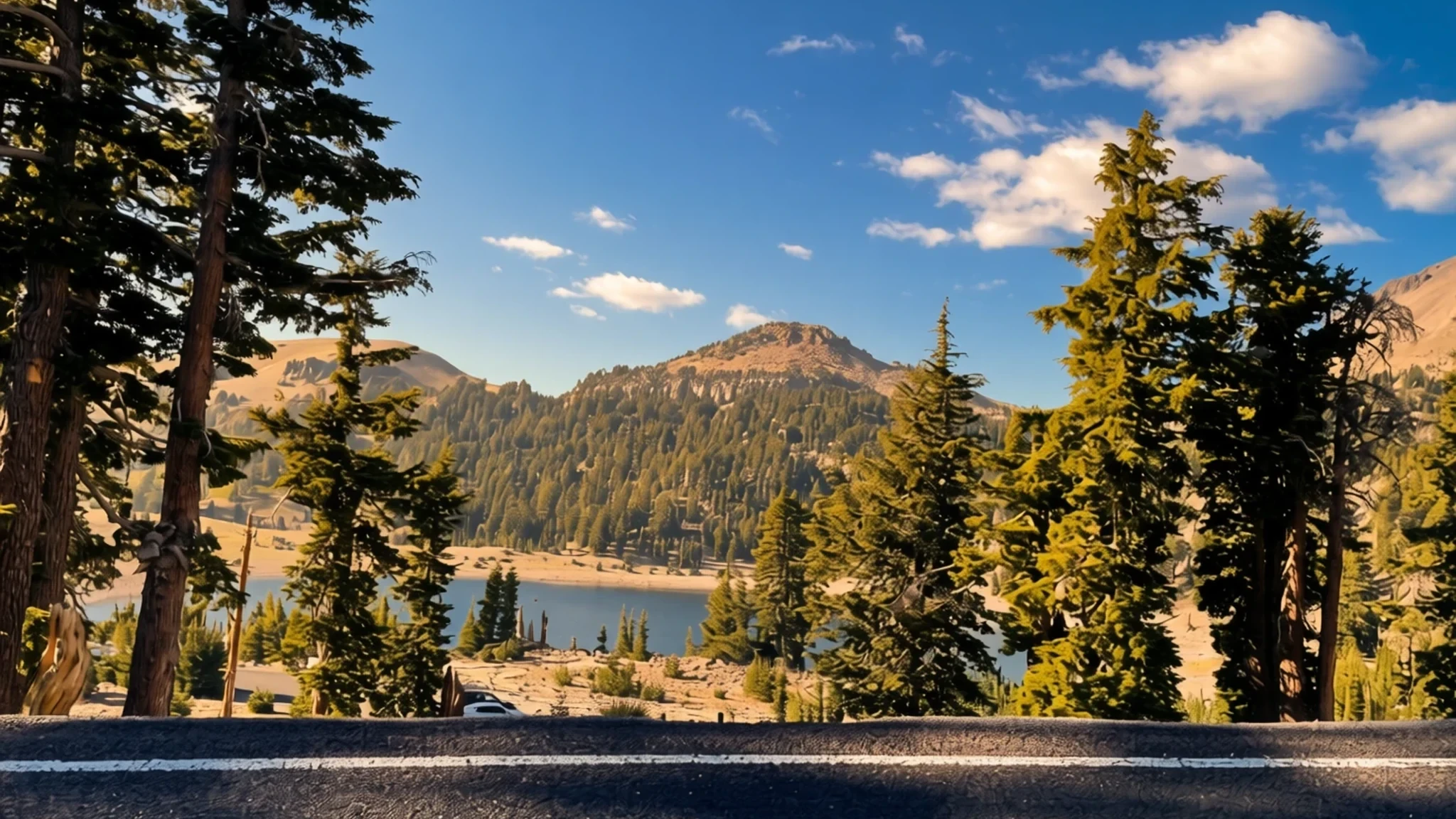
Lassen Volcanic National Park in northeastern California is a rare place to see several volcano types, with steaming ground and a snowy peak.
The place
Lassen Volcanic National Park lies in the northeast of California, near the northern end of the Sacramento Valley, with Redding and Susanville the nearest towns. Its centrepiece is Lassen Peak, a plug dome volcano and the largest of its type in the world, sitting at the southern tip of the Cascade Range. Few locations let you see all four principal volcano types in one place: plug dome, shield, cinder cone and stratovolcano.
Heat comes from the Gorda plate sliding beneath the North American plate off the Northern California coast, and the ground here is still restless. Around the peak there are boiling mud pots, fumaroles venting steam and hot springs. Further west the scenery changes to lava pinnacles, jagged craters and sulphur vents, a landscape that looks freshly made.
Elevation makes the weather the main planning issue. Winters are cold and snowy, and snowbanks linger through the year near Lake Helen, which sits at about 2,500 metres and is thought to be among the snowiest places in California. Summer is when the roads, trails and visitor services open, so this is when most people come. Days can be warm lower down but cool and windy near the summit, so bring layers and carry water.
Its story
The Atsugewi people lived in this country long before settlers arrived, and they understood the mountain as a restless force. In their view the peak held both fire and water and would one day tear itself apart, a belief that reads now like a remarkably accurate forecast.
In the mid-nineteenth century, emigrants heading for the fertile Sacramento Valley used Lassen Peak as a navigation mark. Among those who guided them was Peter Lassen, a Danish blacksmith who had settled in northern California in the 1830s, and the peak took his name. A wagon route was later cut through the area, passing the cinder cone and the Fantastic Lava Beds, and travellers left accounts of smoke and glowing rock.
Witness accounts from the cinder cone area describe flames tossed skyward and lava pouring down the slopes, though the reports are inconsistent. Early scientists dated the last eruption there to the late seventeenth century. After the 1980 eruption of Mount St Helens, the US Geological Survey reassessed the risk from Cascade volcanoes, and later tree-ring analysis narrowed the date to a single year.
Lassen Peak itself erupted between 1914 and 1917, in a series of events from minor to major. The area had already been protected as two national monuments, created in 1907 by Theodore Roosevelt, and the eruptions helped secure its status as a national park in 1916.
What to see
- Lassen Peak — Central park, reached from Highway 89 over the high pass
The mountain that gives the park its name is the centrepiece, and Highway 89 passes through a high mountain pass that gives reasonably easy access to its summit. The climb is steep and exposed, with loose volcanic rock underfoot and little shade. Start early in the day, carry more water than you think you need, and check conditions before you set out, since snow can persist well into the warmer months.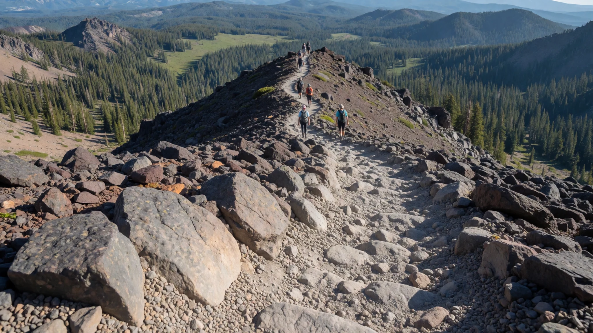
- Loomis Museum — Northwest entrance, near Manzanita Lake
This historic museum stands about one mile from the northwest entrance, close to Manzanita Lake. It is a good first stop for the park's volcanic history and its settlers' story, and it is open only during the summer months, so check the dates before you plan a visit around it. Its exhibits are a useful orientation before you head up to the geothermal areas.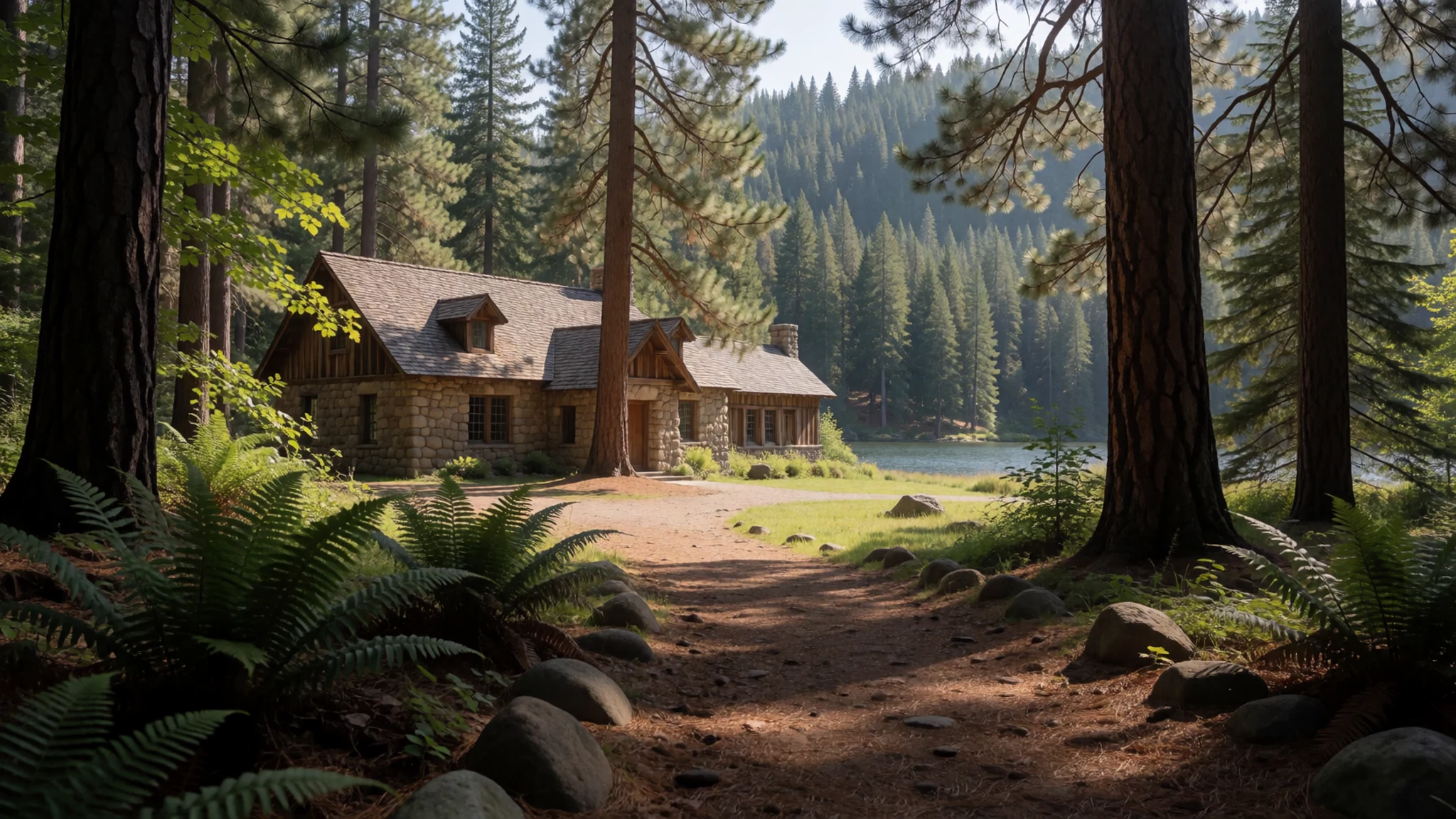
- Sulphur Works — Highway 89, north of the southwest entrance
A small geothermal area sits beside Highway 89 about one mile north of the southwest entrance. Mud pots, fumaroles and hot water flow are all visible from a short walk. The parking area is small and right on the highway, so arrive early in the day or be prepared to wait for a space in the summer months.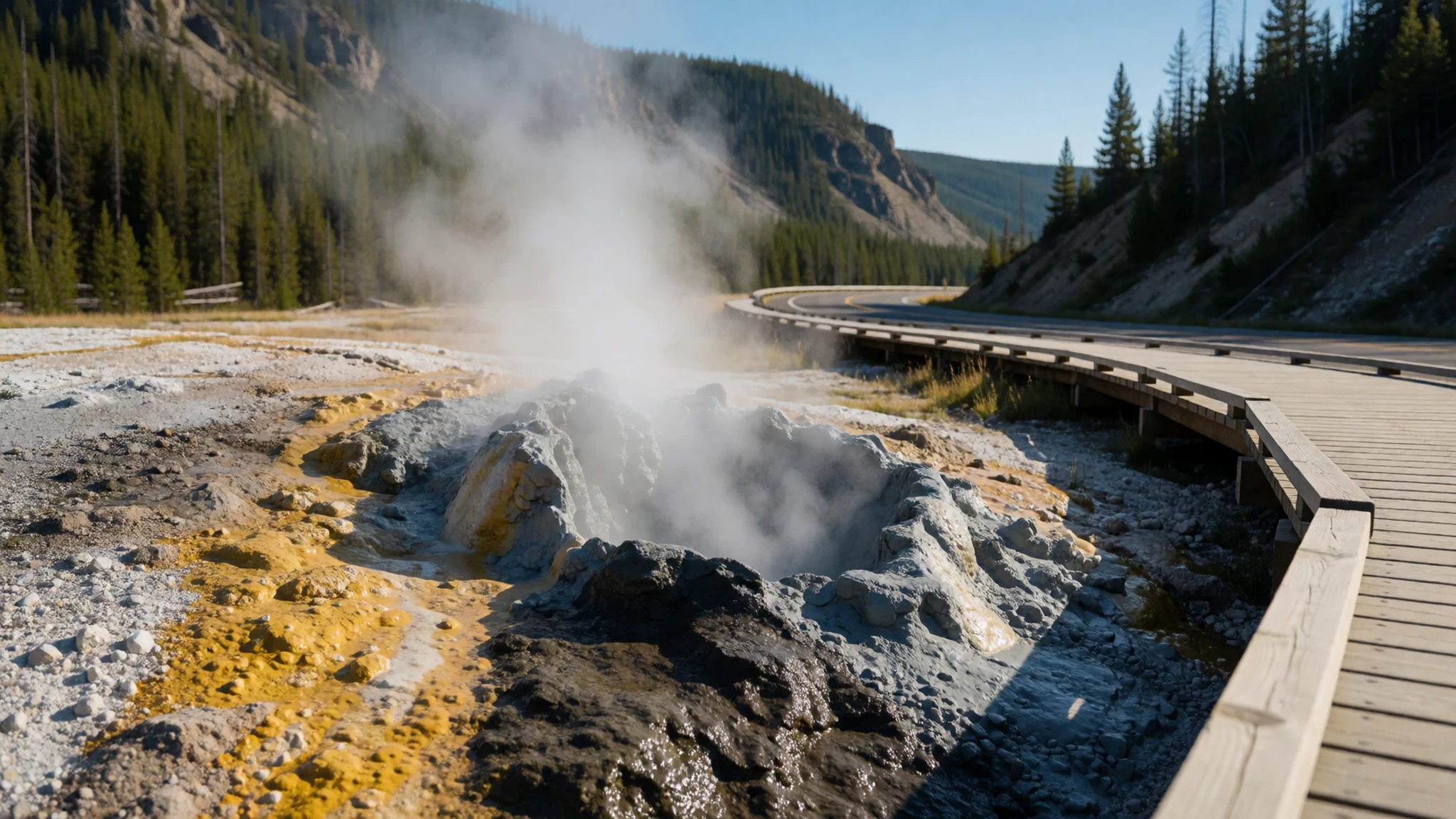
- Devastated Area — North section of the park, on Highway 89
The northern section of the park, beside Highway 89, lies in the path of the pyroclastic flow from Lassen's eruptions. Today it is a stark landscape of grey ground and sparse regrowth, with Lassen Peak rising above. It is a useful place to understand how completely a volcano can reshape a valley, and the view is worth a stop on the drive through.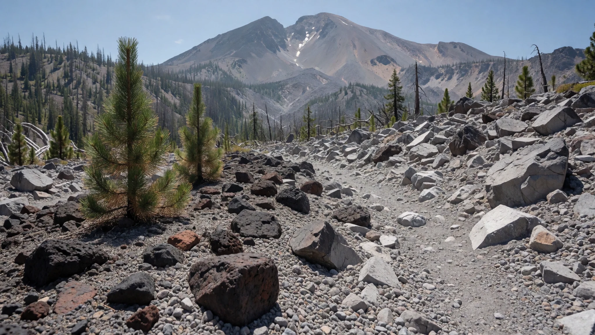
- Bumpass Hell — Highway 89, near Lassen Peak
This is the largest geothermal area in the park, and the walk to it is the most rewarding in the park for people who like volcanic scenery. A wooden boardwalk takes you past boiling pools, mud pots and roaring fumaroles. Keep to the boardwalk at all times, because the ground around the pools is thin and hot, and the steam can change direction quickly.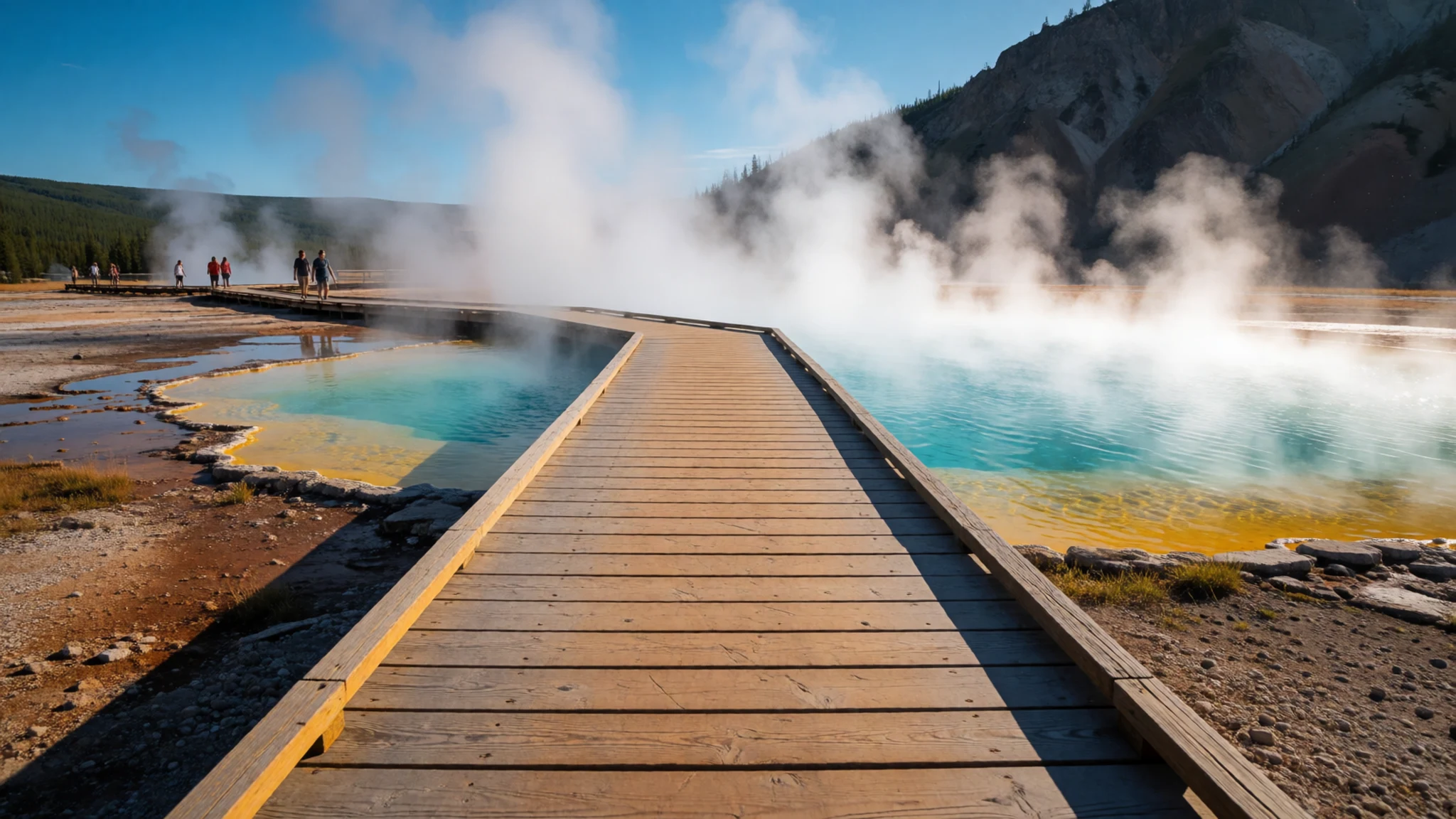
Culture
Lassen Volcanic National Park is an active landscape, and the rules you will meet here exist because the ground is unpredictable. The Atsugewi people who lived here long before settlers arrived saw the mountain as a living force, and that view still fits the place. Treat the land with the same caution: leave rocks, plants and mud where you find them, and read the signs at trailheads, which explain both the natural history and the reasons for the rules. Summer visitor services, including the Loomis Museum, run only in the warmer months, so check opening dates before you travel. Shops inside the park are few, so carry what you need from the towns rather than expecting to buy it on the way. Around the geothermal areas, keep children and pets close and never step off the path to get a better photograph. Stay on the boardwalk at Bumpass Hell, because the crust around the pools is thin and scalding.
What to wear
Lassen Volcanic National Park has a thinner record of traditional dress than of its geology, so I won't guess at specific garments. The Atsugewi people who lived here before settlers arrived are known mainly through their knowledge of the land, and surviving textiles from this specific area are not well documented. What people wear now is practical: layered outdoor clothing, sturdy walking boots, and warm hats and gloves even in summer. Lava rock is sharp and uneven, so boots with good ankle support are the sensible choice. Visitors should pack a warm fleece or insulated jacket, a waterproof shell for afternoon showers, and sun protection, because the air is thin and the sun is strong at altitude. Modest, comfortable clothing suits the park's relaxed atmosphere, and nothing about its trails calls for formal dress.
What to eat
- Camper store snacks at Manzanita Lake — The camper store at Manzanita Lake, northwest side of the park
The camper store at Manzanita Lake is the most useful stop for basic food in the park. It is open daily from late May to early September and also sells fuel, showers and laundry. Expect a small range of packaged food and drinks rather than fresh meals, and buy a little more than you think you need.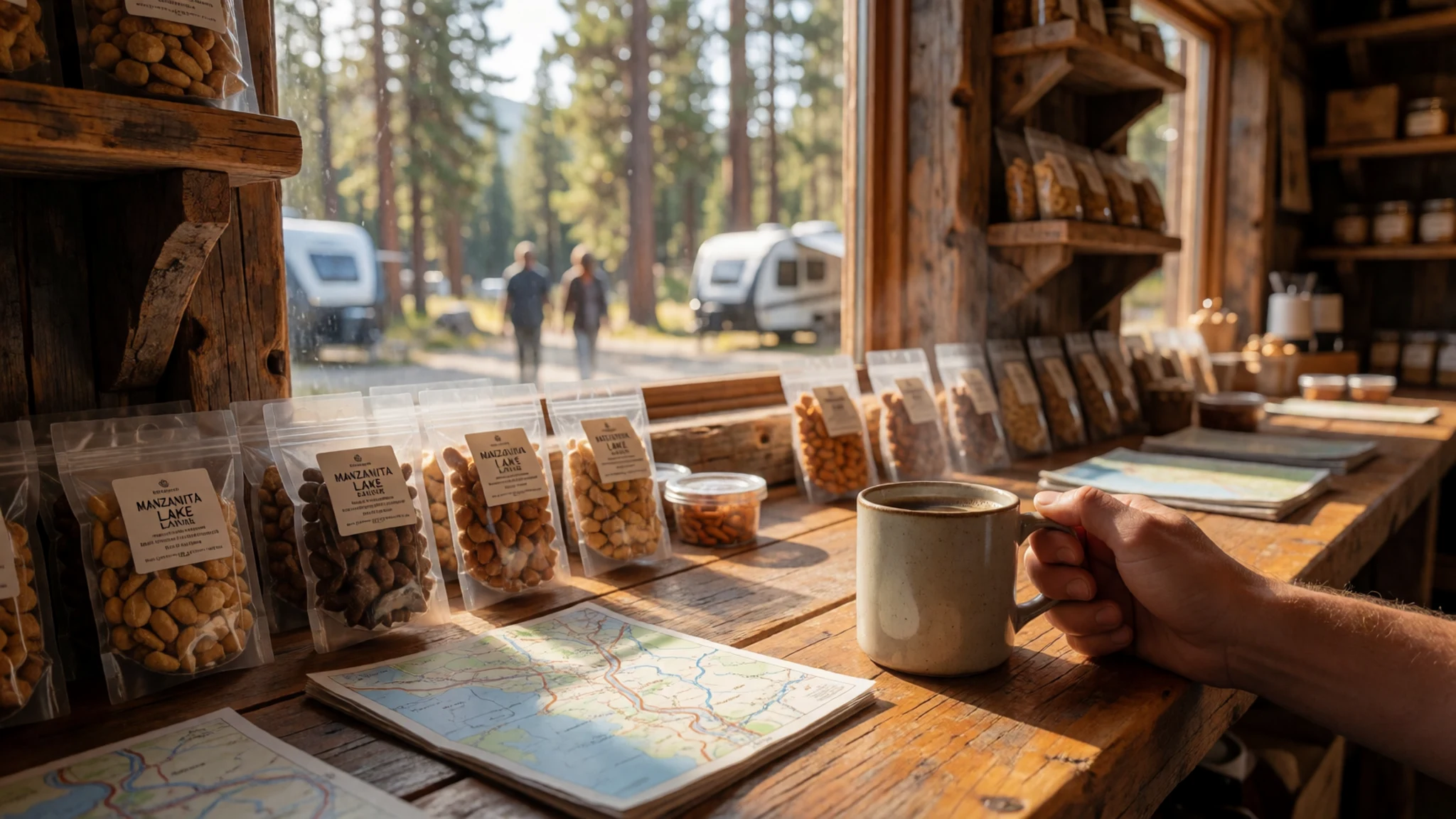
- Peak Necessities snacks — The Lassen Peak parking area
A small shop in the Lassen Peak parking area sells food and gifts through the summer months. It is handy if you are heading up the summit trail and want a snack afterwards. Its opening period is limited, so do not count on it outside the summer season.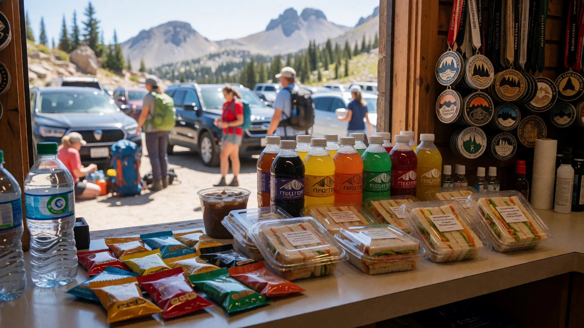
- Lassen Chalet snack bar — The Lassen Chalet area, near the southwest of the park
The Lassen Chalet was demolished in 2005, and the Kohm Yah-mah-nee Visitor Center opened on the same spot in 2008. There is no snack bar here today, so bring food and drink from the towns. The visitor center is a useful stop for a break between visits to the geothermal areas, with a warm place to rest on a cool day. - Packed lunch from town — Supermarkets and delis in Redding and Chico, before you enter the park
The neighbouring towns of Redding and Chico have the widest choice of stores and eateries, so stock up before you enter the park. A packed lunch of bread, cheese, fruit and nuts keeps well on the trails and avoids relying on the seasonal park shops. Bring plenty of water as well.
Plan it
Best time. July to September gives the widest access, as the roads, trails and visitor services open. Snow can keep parts of the park closed into early summer, and late autumn brings cold, quiet conditions with fewer services.
How long. 2–3
Getting there. Fly into Redding or Chico, or into Sacramento on I-5 further south, or Reno, then drive. Private car is the best way to reach the park, and rental cars are available in Redding, Red Bluff, Chico, Susanville or Reno.
Budget. mid
Tips
- Check which roads and entrances are open before you set out, as snow can close sections outside summer
- Start the geothermal walks early to avoid the midday crowds at the parking areas
- Carry food and fuel from the towns, because the park's shops are seasonal and few
- Bring layers and water, as the altitude brings sharp temperature changes
- Book campsites early through the official National Park Service site
Etiquette
- Stay on marked paths and boardwalks, especially near the geothermal areas
- Keep a safe distance from steam vents, mud pots and hot springs
- Pack out all rubbish and leave the rocks and plants as you find them
Nearby
Sources
- Wikidata Q1163542 (CC0)
- Wikipedia, Lassen Volcanic National Park (rev 1374678701) (CC BY-SA 4.0)
- Wikivoyage, Lassen Volcanic National Park (rev 5390925) (CC BY-SA 4.0)
- Lassen Peak from Devastated Area, by Mav (CC BY 3.0)
- Lassen Peak and Lake Helen, NPS Photo (Public domain)
- NPS Lassen Volcanic map 2020 (Public domain)
- Shasta from Lassen, by Kai Schreiber (CC BY-SA 2.0)
- Painted Dunes and Fantastic Lava Beds (upright), by Frank Schulenburg (CC BY-SA 4.0)
- Cinder Cone at Lassen Volcanic National Park, by DimiTalen (CC BY 3.0)
- USA Lassen NP Kings Creek CA edit3, by Fcb981 (CC BY-SA 2.5)
- Lassen Peak from the summit of Brokeoff Mountain, by Daniel Mayer (CC BY 3.0)


