Langtang National Park
Langtang National Park, Nepal
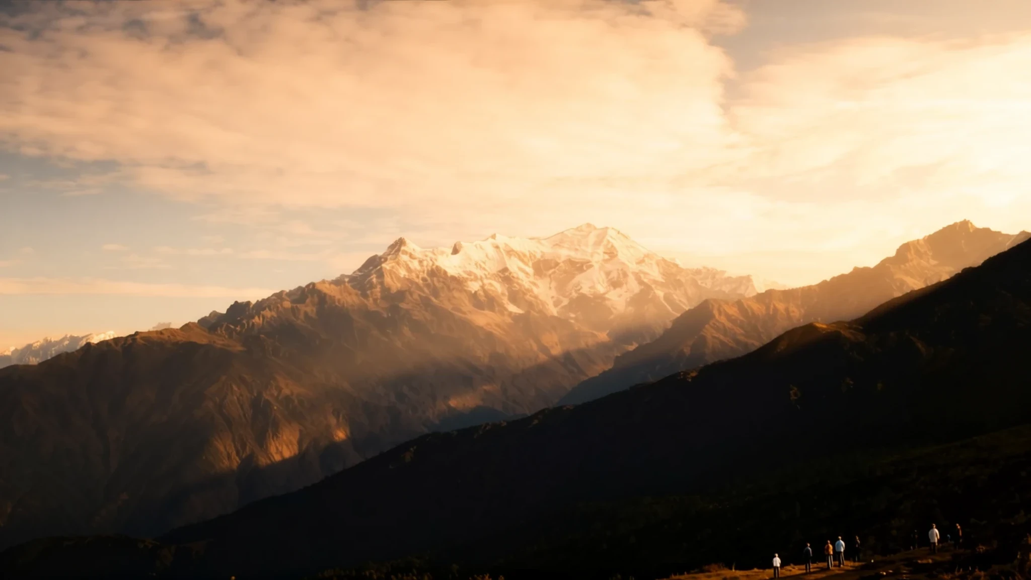
Langtang lies only about 32 km from the Kathmandu Valley, yet its trails climb from warm forest into snow and ice within a few days.
The place
Langtang National Park sits in north-central Nepal, spread across parts of the Nuwakot, Rasuwa and Sindhupalchok districts. It was established in 1976 as the first national park in the Himalayan region of the country. Today it covers 1,710 square kilometres, with a buffer zone wrapped around its edge. The park lies only about 32 km from the Kathmandu Valley, yet its trails climb from warm forest into a world of ice within a few days. Elevation does most of the work here. Below 1,000 metres the forest is tropical, higher up the vegetation thins into alpine scrub, and above that there is only bare rock and perennial ice. The Dorje Lakpa range cuts through the middle of the park from west to east and south-east, and its highest summit, Langtang Lirung, rises to 7,245 metres. Gosainkunda lake, at about 4,300 metres, draws both walkers and pilgrims. The Langtang valley runs north toward the Tibetan border, and on the far side the park connects with the Qomolangma National Nature Preserve. Twenty-six village communities live within the park's boundaries, and their fields and pastures follow the seasons closely. The climate is dominated by the summer monsoon, which brings most of the rain between June and September, so the autumn months are the ones most visitors choose.
Its story
Langtang National Park's story begins with a royal decision. In 1970 royal approval made the area the first protected area in the Himalayas, and the park was formally gazetted in 1976. A buffer zone was added in 1998, drawing the surrounding villages into the arrangement rather than leaving them outside it. Rivers mark its sides: the Bhote Koshi forms the eastern edge and the Trishuli the western, so the park takes its shape from water as much as from mountains. The valley's modern history was changed in April 2015. The earthquake that struck Nepal that month set off a huge slide of ice, rock and mud, and Langtang village, inside the park, was overwhelmed. Many people died, and the village is now a sombre reminder of how quickly these slopes can change. Its loss was marked abroad as well. In 2016, the International Astronomical Union gave a hollow on the Martian surface the name of a village, paying it honour.
What to see
- Gosainkunda lake — Rasuwa district, high in the park
Gosainkunda is a high lake at roughly 4,300 metres, treated as holy by Hindu pilgrims. A festival there in August draws thousands, which means the trails are busy just as the monsoon makes them slippery. Go early on a clear morning, when the water reflects the ridges before cloud rolls in.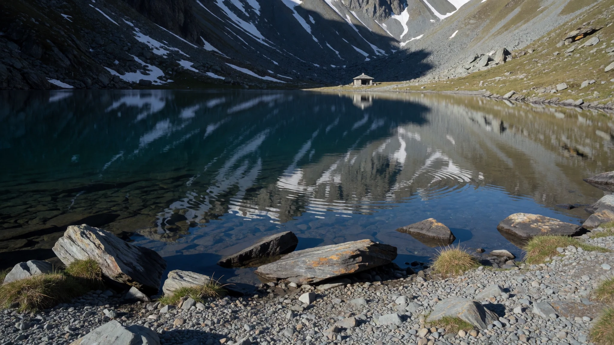
- Langtang village — Langtang valley, Rasuwa district
Langtang village sat inside the park until the 2015 earthquake sent a slide of ice, rock and mud across it. The site is now a sombre reminder of how quickly these slopes can change. Go slowly, keep to the paths and treat the ground with quiet respect.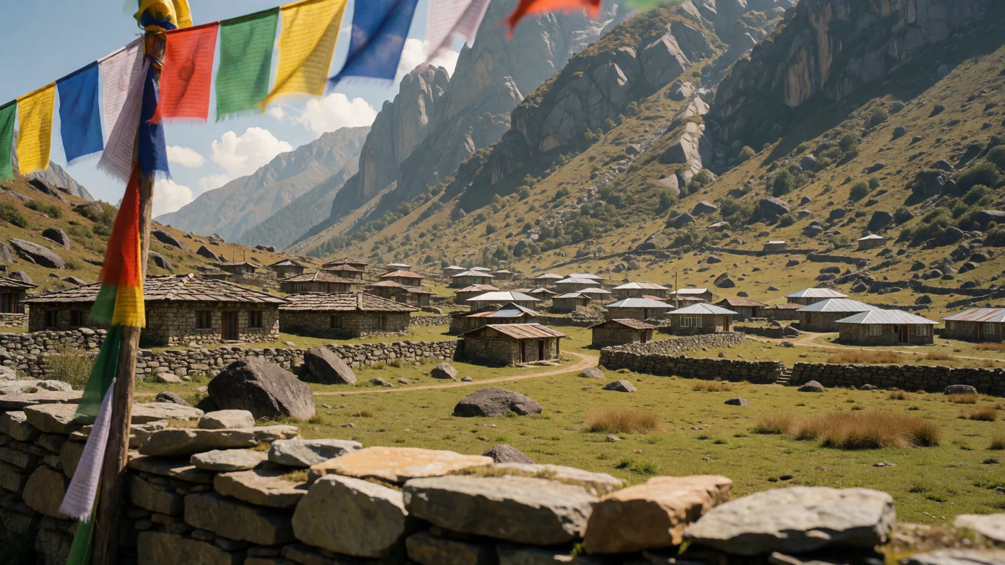
- Tatopani hot springs — Northern end of Tatopani village
The hot springs lie near the northern end of Tatopani village, and the name means hot water in Nepali. Soaking is a welcome reward after a long day on rocky, sometimes slippery trails. Budget places line the road through the village, so you can stay the night cheaply. Ask at your lodge about the pools before you set off.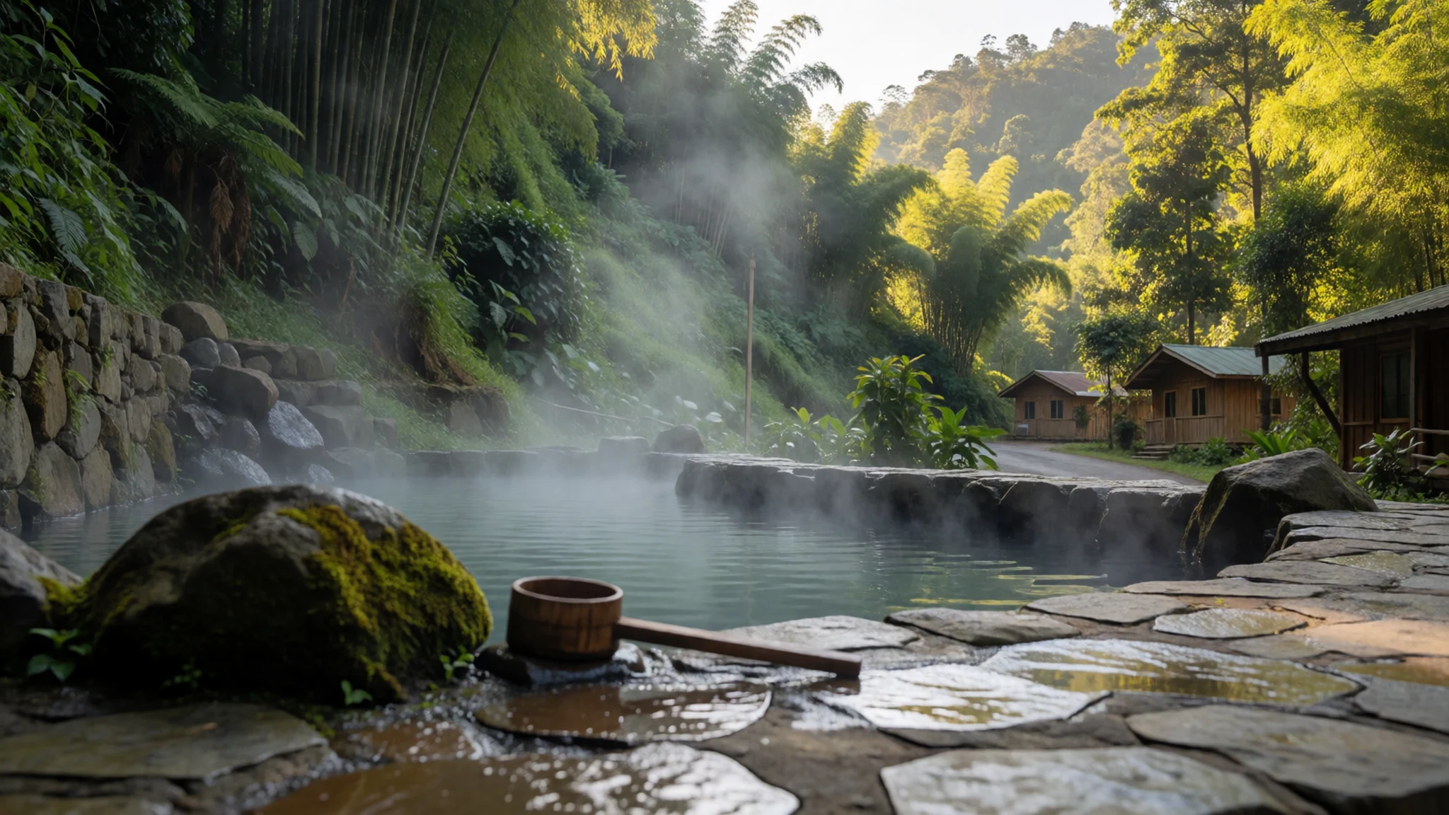
- Shrine and prayer wheel above Tatopani — Hillside south of Tatopani village
South of Tatopani, a shrine with a prayer wheel sits up the hillside, reached by a climb from the village. Prayer wheels turn clockwise, so walk around them the same way and spin them as you pass. The shrine gives a quiet place to look down over the valley before the next stretch of trail.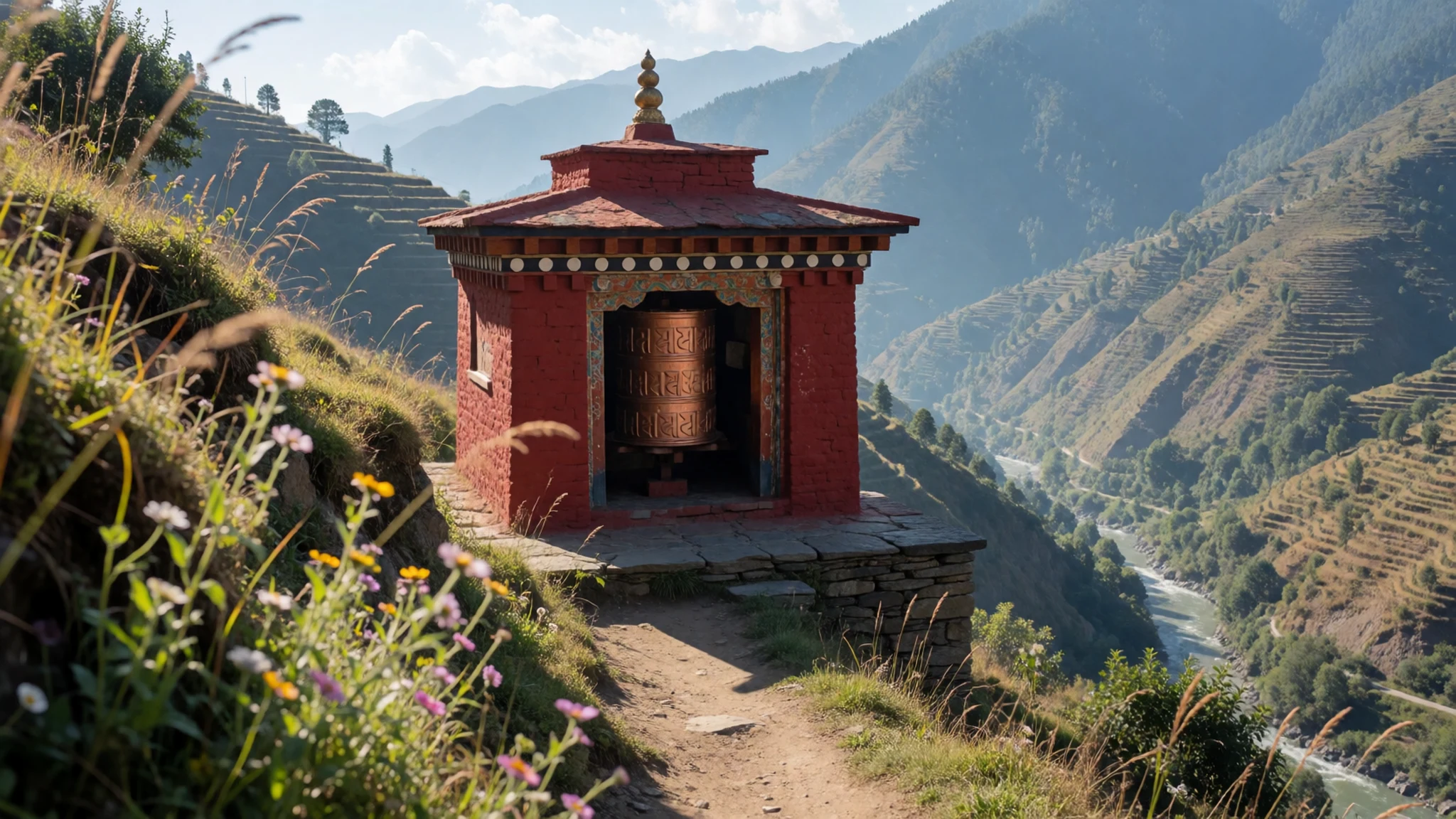
- Hilltop views and the high valleys — Langtang valley and the Dorje Lakpa range
The park's vegetation changes with height, from tropical forest in the lower valleys to alpine scrub and bare ground above. Hilltop viewpoints along the trekking routes look across the high peaks, and cloud often builds by afternoon, so start walking early. Look for the Dorje Lakpa range, which runs through the middle of the park.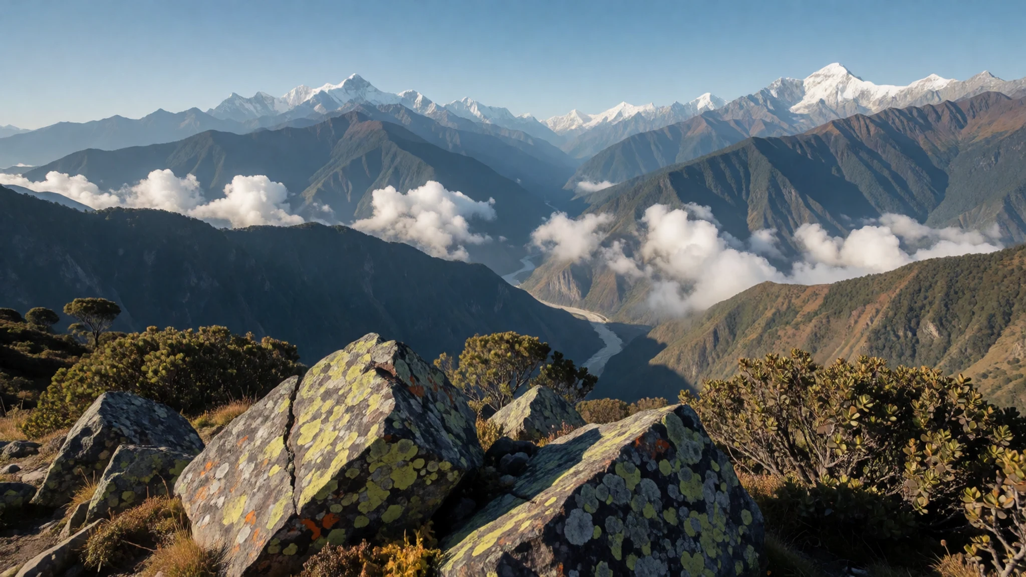
Culture
Life in Langtang National Park centres on village communities with strong Tibetan connections, while the lakes and high routes draw Hindu pilgrims in large numbers. Along the trail you will see chortens, prayer flags and long mani walls carved with prayers. These are part of daily life rather than museum pieces. Villages depend on trekking income, and part of the park's revenue reaches local communities through the buffer zone arrangement, so eating, sleeping and buying supplies locally goes a long way. Lodges are simple, water is often boiled or filtered, and evenings are quiet. Festivals and religious gatherings bring crowds to places such as Gosainkunda, where pilgrims may be at prayer near the water. Keep noise low at night, and when you pass a chorten or mani wall, keep it on your right and walk clockwise, asking before you photograph anyone who is praying.
What to wear
Langtang's traditional dress belongs to the highland villages of the valley, where wool and handwoven cloth were the working materials of everyday life. In many households, women wore long wrap-style robes in the Tibetan manner, belted at the waist and worn with woven aprons. Men wore thick wool jackets and trousers suited to cold, windy slopes, and both sexes wore felt or woollen hats. Wool from sheep and yak, cotton for lighter weaving, and bands of woven pattern at the hems and edges were the usual textiles. Such clothing is now worn mainly for festivals, weddings and religious occasions. Day to day, most people in the park dress much like trekkers do, in jeans, fleeces and down jackets. Visitors should dress in layers, since temperatures swing widely between low valleys and high passes. Bring a warm hat and gloves, a waterproof shell and quick-drying base layers. Sturdy boots with good grip suit the rocky, sometimes slippery trails. At shrines and monasteries, cover your shoulders and knees, and in villages avoid revealing clothing. Sunglasses and sunscreen matter more than you might expect at altitude.
What to eat
- Dal bhat — Lodge kitchens and eateries along the trail
Dal bhat is the staple of Nepali walking food: lentil soup, steamed rice and a few vegetable curries, usually served on one big plate. Second helpings are common, and it fuels long days better than most snacks.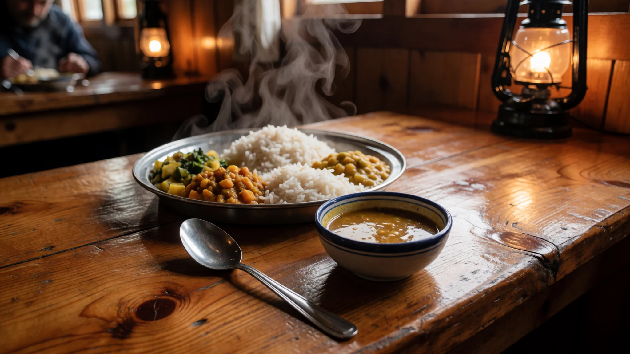
- Momo — Tea houses and small stalls in the lower villages, especially around Tatopani
Momo are steamed dumplings filled with minced meat or vegetables, sometimes with a spiced sauce on the side. They are a favourite snack after a hard climb and often arrive hot in a basket. Fillings vary by kitchen, so ask what is inside before you order.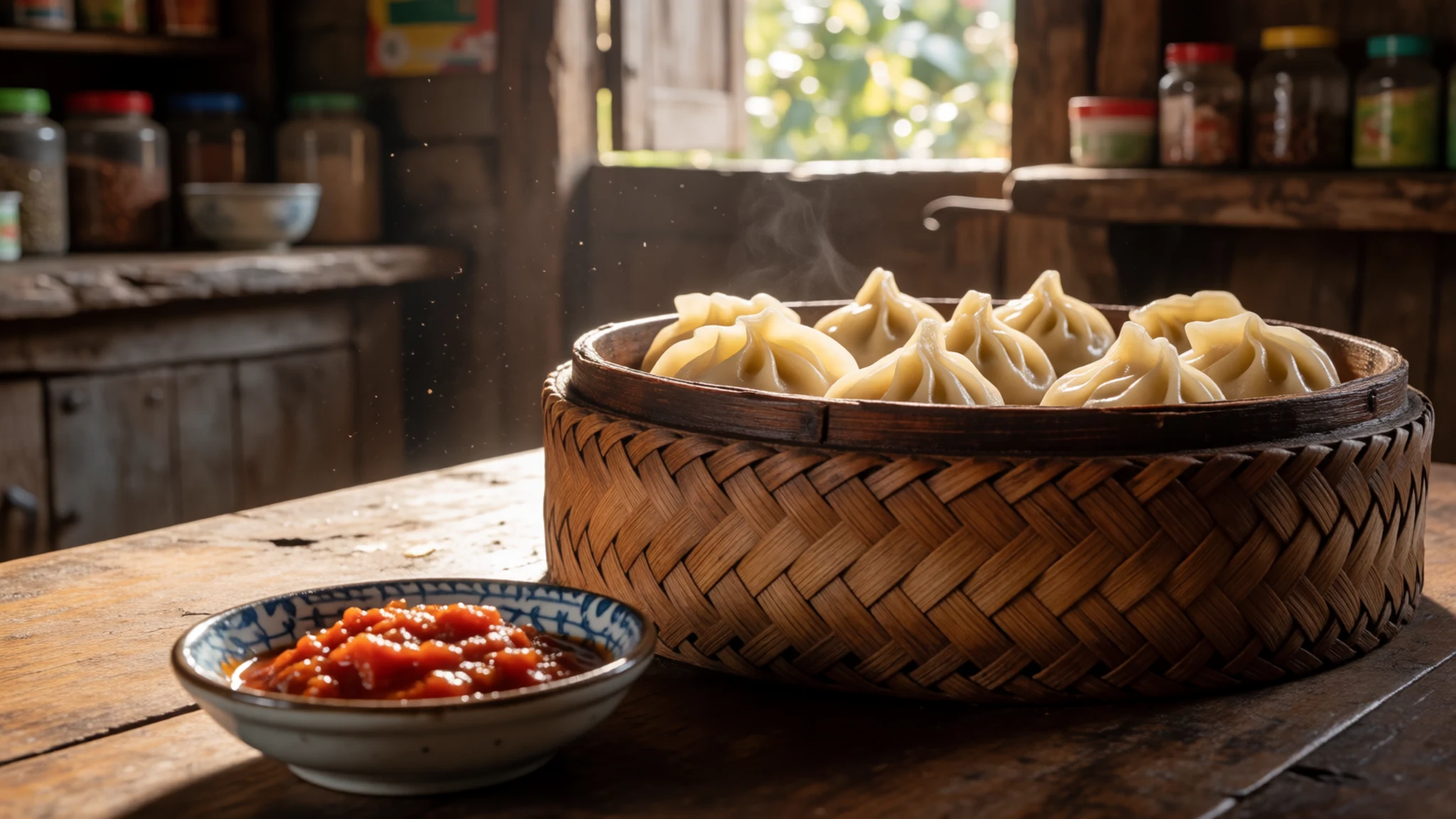
- Thukpa — Tea houses in the upper villages, especially on cold evenings
Thukpa is a noodle soup with vegetables or meat, served hot on cold evenings in the higher villages. It is a Tibetan-style dish found along the trekking routes, and it makes a warming end to a cold day. - Tsampa — Upper-valley lodges and households, where it is eaten for breakfast
Tsampa is roasted barley flour, mixed with butter tea or water into a dough-like paste. It is the traditional highland food, light to carry and quick to prepare. Some lodges in the upper villages serve it at breakfast, though you may find it less familiar than rice. - Yak cheese — Dairy stalls and lodges in the higher pasture villages
Yak cheese is firm, salty and strong, made from the milk of herds that graze high pastures in summer. It suits a hungry walker better than a delicate palate. Try a small piece before buying a larger one.
Plan it
Best time. In Langtang National Park, autumn, roughly September to November, is the best window: the monsoon has passed, skies are usually clearer, and September brings a spectacular display of flowers. Winter, from January to February, brings snow, and in peak winter trails are blocked and lodges close. June to August is monsoon season, with heavy rain and slippery paths.
How long. 3 days to 3 weeks, depending on the route
Getting there. Direct bus from Kathmandu, or change at Barabise for Kodari; the journey is about nine hours for 111 km. The park is about 32 km from the Kathmandu Valley, but the roads are slow, so a hired jeep or car can save a long day.
Budget. mid
Tips
- Do not walk alone; a local guide is strongly recommended on some routes.
- Watch for altitude sickness above about 3,000 metres, and drink plenty of water as you climb.
- Medical care is thin on most trails, so carry a comprehensive first aid pack and enough supplies to be self-sufficient.
- On rocky stone fields and after rain or frost, keep moving steadily and watch above you for falling rock.
- Start walking early: mornings are usually clearer and the trail is quieter before the afternoon clouds build.
Etiquette
- Keep chortens and mani walls on your right and walk clockwise around them.
- Ask before photographing people, especially those at prayer or at a festival.
- Keep to the paths at the Langtang village site and keep noise low.
Nearby
Sources
- Wikidata Q4351267 (CC0)
- Wikipedia: Langtang National Park (rev 1380747413) (CC BY-SA 4.0)
- Wikivoyage: Langtang National Park (rev 5336632) (CC BY-SA 4.0)
- Photo 01 starry night in Langtang National Park, Q-lieb-in (CC BY-SA 4.0)
- Photo 02 paints of sunrise on Langtang National Park, Q-lieb-in (CC BY-SA 4.0)
- Photo 03 Gosainkunda Lake, Yosarian (CC BY 3.0)
- Photo 04 area of Langtang National Park, Bharat2 (CC BY 3.0)
- Photo 05 Langtang village before 2015 earthquake, Zhushman (CC BY-SA 4.0)
- Photo 06 A Beautiful Beginning, MITESHSTHA (CC BY-SA 4.0)
- Photo 07 Above the clouds panorama (cropped), Q-lieb-in (CC BY-SA 4.0)
- Photo 08 Above the clouds panorama, Q-lieb-in (CC BY-SA 4.0)


