Lake Yojoa
Lake Yojoa, Honduras
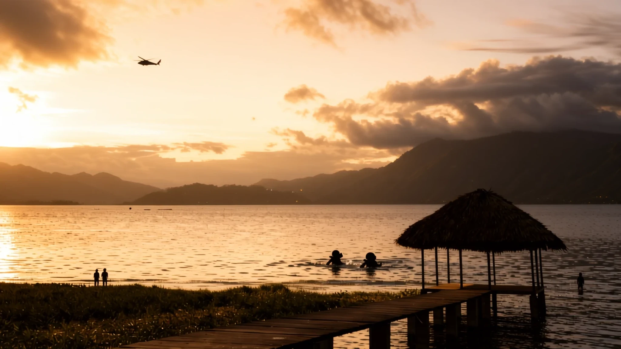
Honduras's largest lake sits beside the main highway between its two biggest cities, a calm, fish-rich stop worth a slow afternoon.
The place
Lake Yojoa lies in western Honduras at about 700 metres above sea level, in a basin shaped by volcanic activity. Its volcanic history is easy to read in the land around it: old cones, craters and hardened lava flows rise in places, and the lake fills the low ground between them. Forested slopes climb from the western shore toward Santa Bárbara National Park, while the eastern shore meets another protected area, Cerro Azul Meámbar. Together they give the lake a green, quiet setting that feels far from the traffic on the road beside it.
That road is the reason many people stop here. The highway linking Tegucigalpa and San Pedro Sula runs along the eastern edge, and drivers making the trip often pull in for a view and a meal. The lake is also a working place. Families on its shores grow fruit, vegetables and staple grains, and many earn part of their living from the fish they take out of the water. Coffee is planted on the surrounding hillsides, and beans from around Santa Bárbara have a good local reputation.
Wildlife is a draw in its own right. Birdwatchers find a wide range of species in the surrounding forest, and anglers come for black bass. Conservation is a live question, though. Clearing for cattle, farming and new building puts pressure on the forest, so the calm you feel on the water depends on what happens on the slopes above it.
Its story
The story of Lake Yojoa begins underground and in fire. The basin it fills was shaped by volcanoes, and the landscape around it still carries their marks in cones, craters and old lava flows that date from the most recent geological periods. Water later settled into the low ground between these features, so the lake is less a river valley than a volcanic hollow that collected rain and runoff over a very long time.
For most of its modern life, the lake's role has been practical. It sits where the highway joining the two biggest cities passes its shore, so it became a natural halfway point. Cooks along the shore started frying fish for passing travellers, and that habit grew into the roadside meals that people now plan around. Fishing has supported local families for generations.
Fishing has also had its difficult chapters. Years of heavy catching thinned the black bass, and anglers and local people had to work to restore the stock. The population has since recovered enough for sport fishing to return, with visitors bringing their own tackle or joining boat trips arranged through the hotels.
The hillsides tell a different part of the story. Farmers grow fruit, vegetables and grain, and coffee has long been planted on the slopes, especially around Santa Bárbara. Pressure from clearing, grazing and development has put the surrounding forest under strain, and the lake's future is tied to how that land is managed.
What to see
- Pulhapanzak Waterfall — the area around the lake
Pulhapanzak Waterfall is the set of falls most people come to see, popular with Honduran and foreign travellers alike. Keep an eye on the trees for macaws. Small armadillos live on the banks below the falls, easy to miss unless you walk slowly. Foreign visitors pay an entry fee, and a guided tour behind the falls costs extra. Check the official site before you go.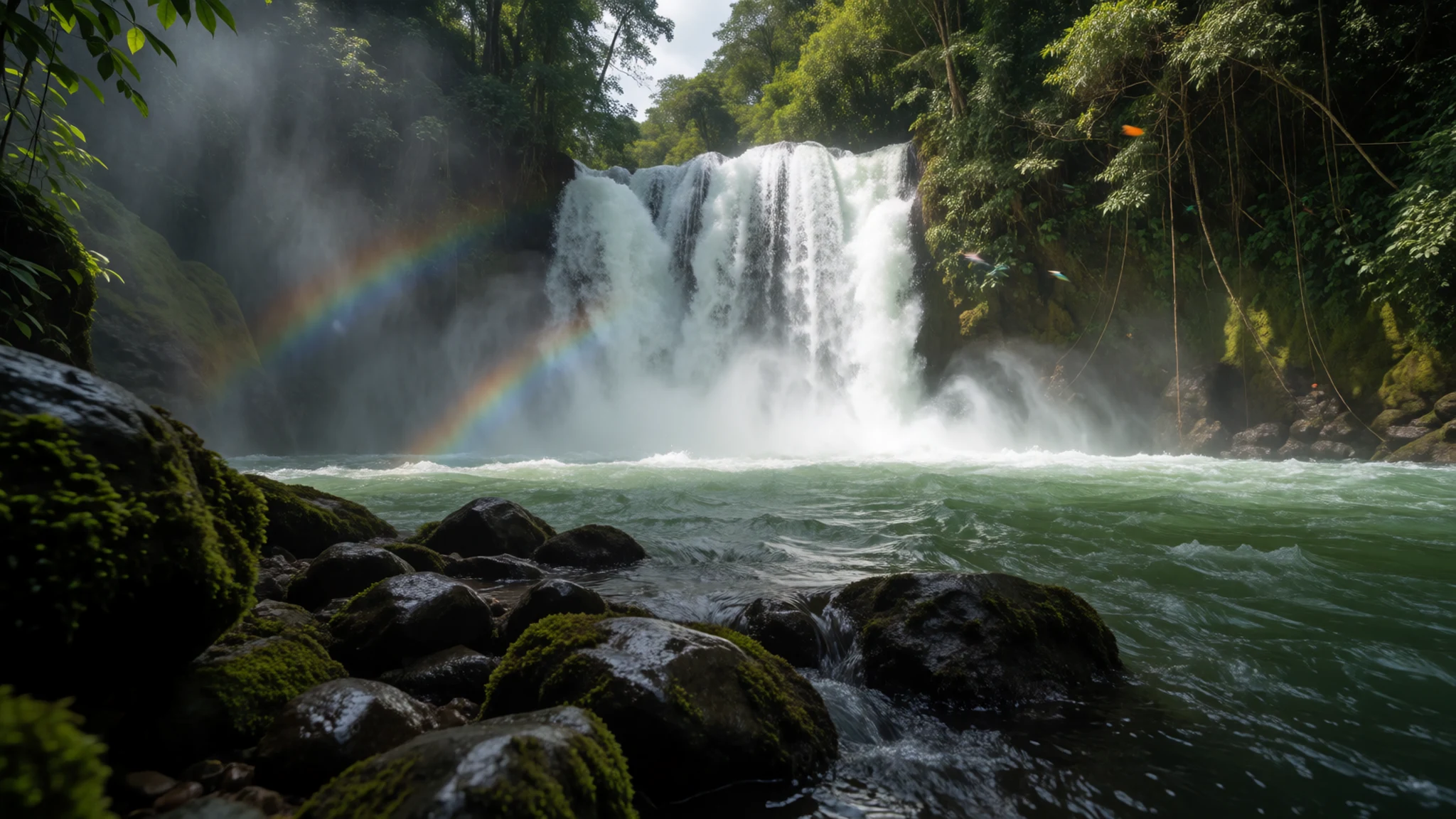
- Sport fishing on the lake — the open water of the lake
Anglers come to Lake Yojoa for black bass. Years of heavy catching thinned the stock, but the population has recovered to a level that supports sport fishing again. Bring your own tackle or join a boat trip arranged through one of the hotels on the shore. Go out early, when the water is often calmer and the light is good, and keep your catch within what local rules allow.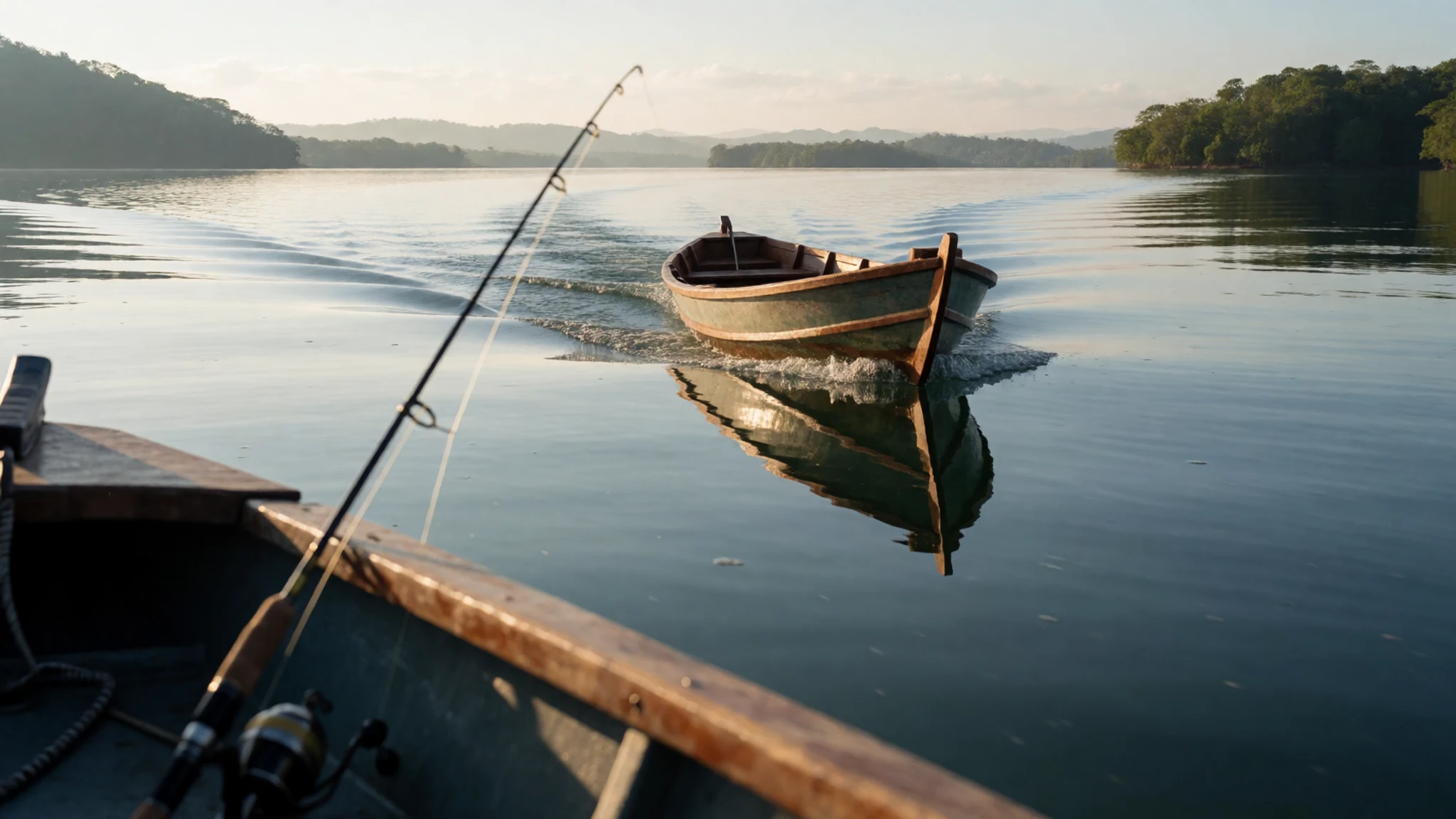
- Honduyate Marina — the lake shore
Honduyate Marina on the lake has sailboats and other water activities, a useful base if you want to be on the water rather than at the roadside. Ask what is running before you arrive, since the range of boats and tours can change with the season and the weather.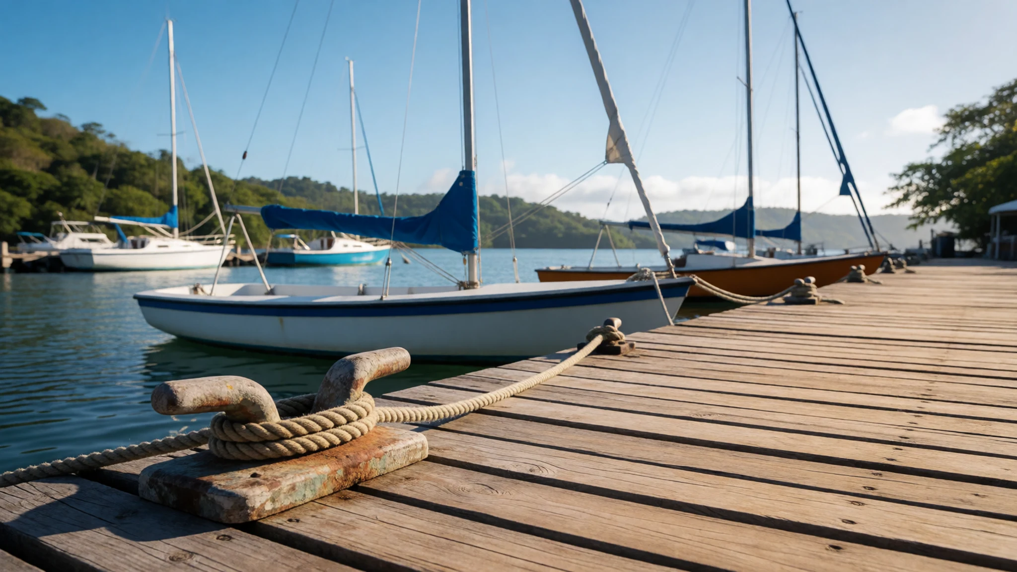
- Cerro Azul Meámbar National Park — the eastern side of the lake
Cerro Azul Meámbar National Park, on the eastern side of the lake, is run by a non-governmental organisation and is well developed for visitors. Trails are well marked, so a guide is not essential. You can hike there for the day or stay overnight in the park. Day visits and overnight stays have their own charges, so check the official site before you set out.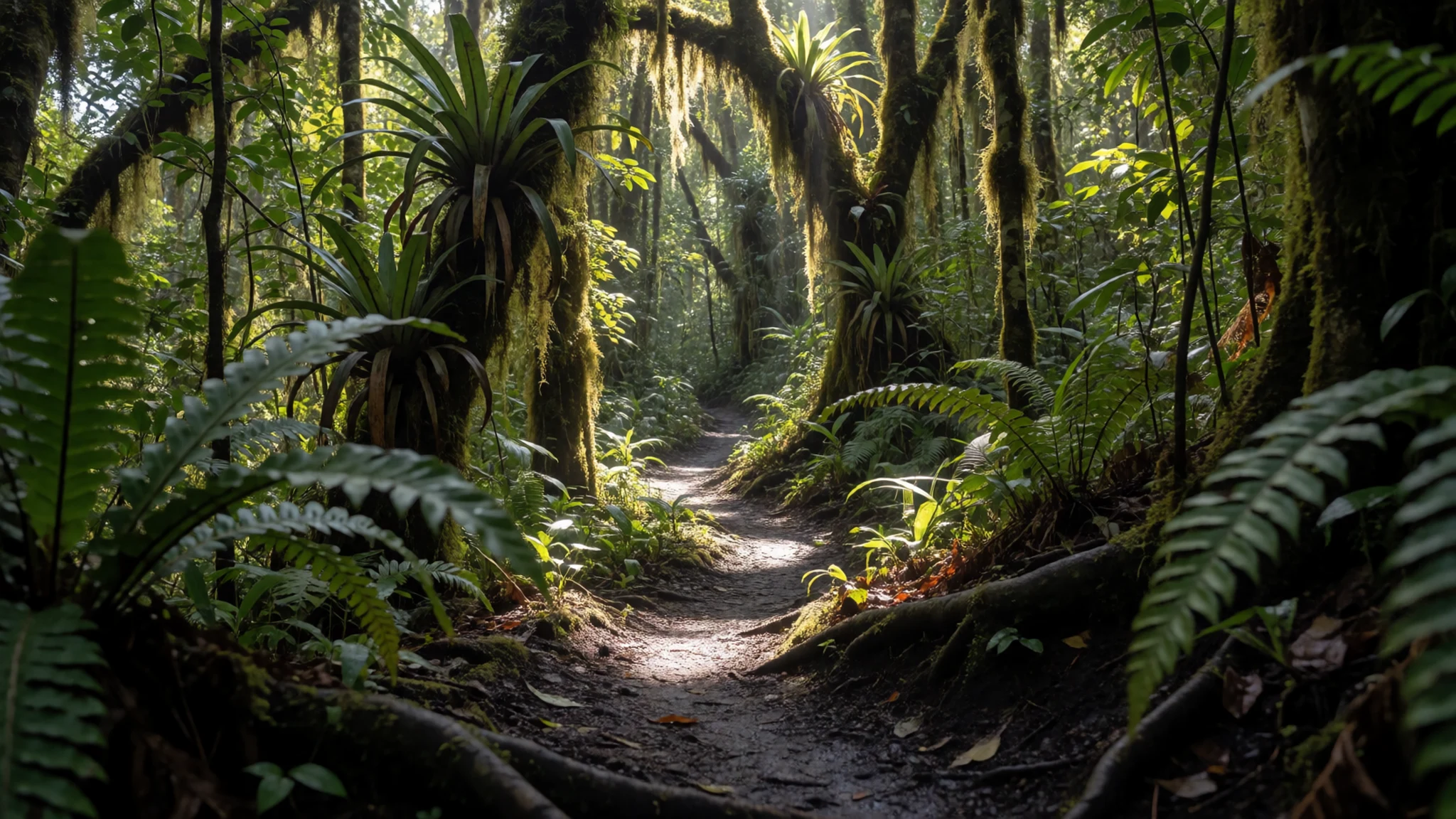
- Los Naranjos Ecological and Archaeological Park — the north-western shore
Los Naranjos Ecological and Archaeological Park is the lake's gentlest outing: a nature walk on the north-western shore that mixes forest paths with archaeological interest. It suits a stop of an hour or two when you are travelling between the cities and want to stretch your legs. Wear closed shoes for the paths, bring water, and ask at the entrance about guides.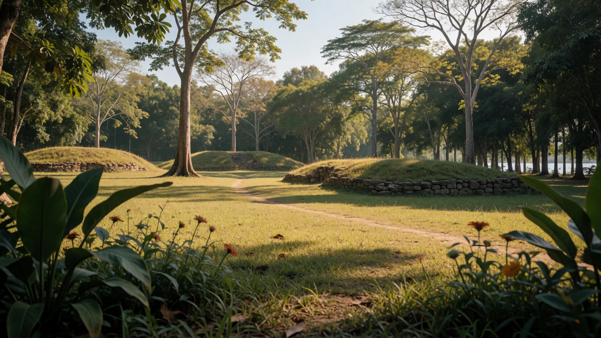
Culture
Lake Yojoa is a place where daily life goes on beside the visitors. Fishing families, farmers and restaurant staff along the shore work here every day, and their homes and boats are part of the scene rather than a show. Hospitality is a real local value: people are often happy to offer a lift in the back of a truck or invite you in for a cup of coffee, which is usually sweet and strong. Accepting is a kind thing to do, and a small thank-you goes a long way. Spanish is the working language, so a few greetings will be welcomed. Dress is relaxed around the lake, though a little more care is appropriate in towns and churches. When you visit a restaurant or a family's home, greet people before you ask questions, and accept coffee gracefully even if it is sweeter than you expect. Please ask before photographing people at work on the water or in their homes.
What to wear
Lake Yojoa has no dress of its own that visitors will see every day. Across Honduras, traditional clothing belongs mostly to festivals, dance groups and certain regional communities, where handwoven cotton and brightly coloured fabrics are the usual materials. If you want to see it, ask at a local festival or a craft shop rather than expecting it in a restaurant. What people wear now on the lake is simple and practical: jeans or light trousers, cotton shirts, short sleeves for the heat, and sandals or work boots for the shore. Visitors should dress for a warm, humid climate at this altitude, which cools a little in the evenings. Light, breathable cotton or linen suits the day, a light layer covers the evening, and a hat and sunscreen help on the water. Modesty matters more in towns and churches than at the lake, so cover shoulders and knees when you go inside a church. Closed shoes or sturdy sandals are better than flip-flops on the forest paths and rocky trails to the falls.
What to eat
- Fried tilapia, Lake Yojoa style — roadside restaurants on the lake's eastern shore, close to the highway
Tilapia from the lake, fried and served Lake Yojoa style with fried plantains. Restaurants lining the highway on this side serve it in large numbers, so you will have plenty of choice. Eat it hot while the skin is crisp, and pick the fish apart at the table.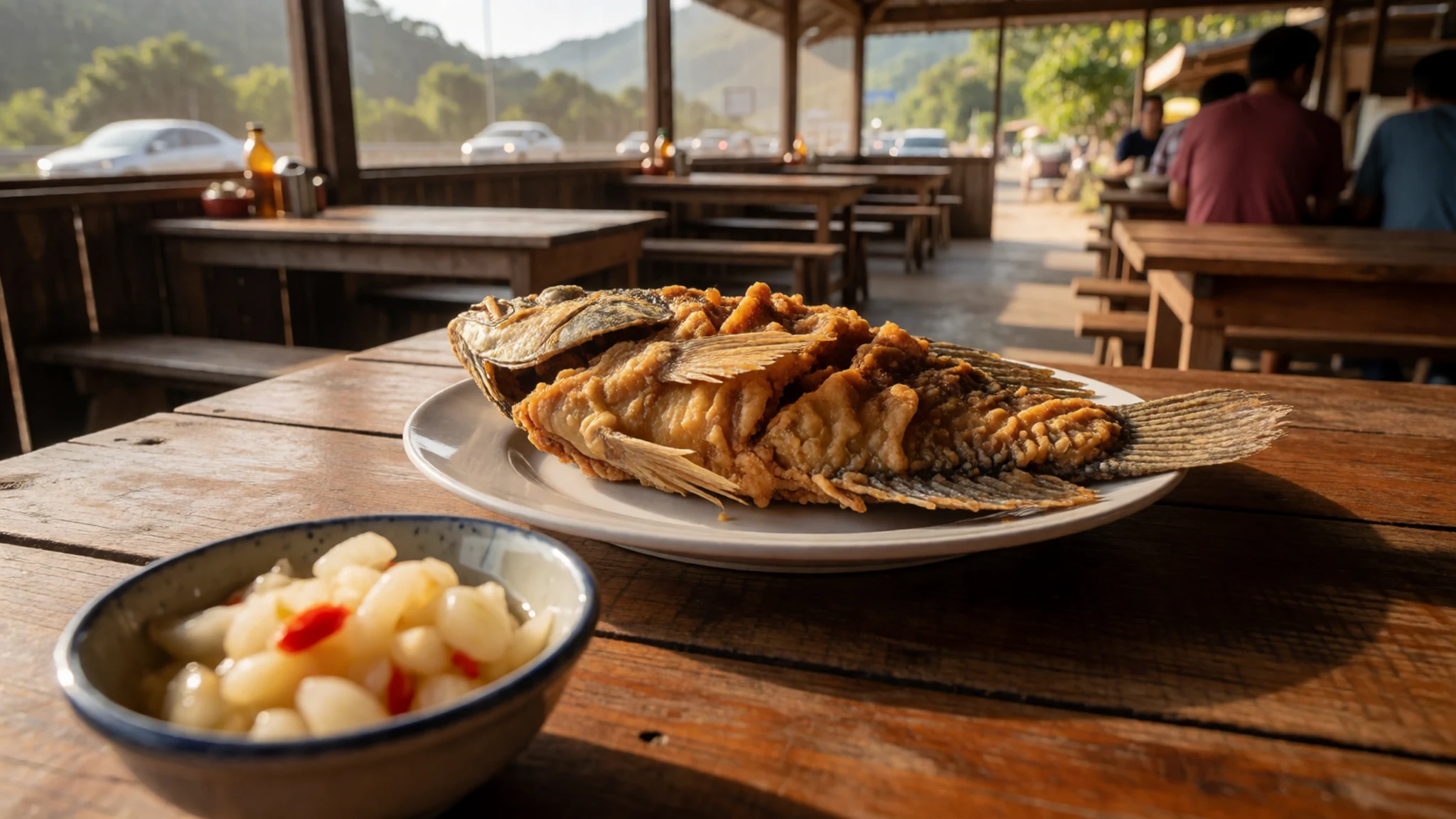
- Tajadas — any fish restaurant on the lake shore, or a stall in the nearby towns
Tajadas are slices of plantain, fried until golden and served alongside the fish. They are sweet and starchy, a good contrast to the fried tilapia. Expect them at almost every fish restaurant on the shore.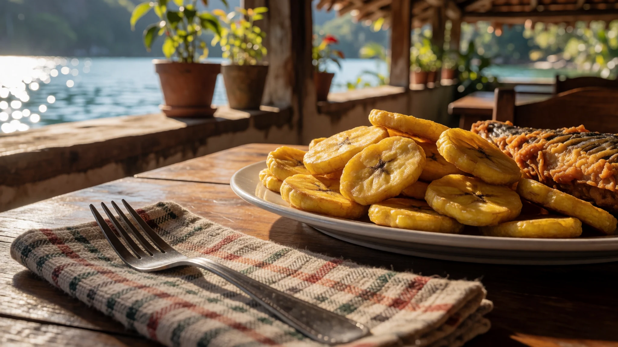
- Santa Bárbara coffee — a café in Peña Blanca that roasts locally
Coffee from the hillsides around Santa Bárbara is well regarded, and it is roasted locally in several places. Ask for a pour-over if the café offers one, since the method shows the beans off well. Expect it sweet unless you ask otherwise, as is common in the region. - Micro-brewed beer — the brewery, lodge and restaurant on the north-west shore
Local beer from the country's first microbrewery, made at a brewery, lodge and restaurant on the north-west shore. It makes a good end to a day on the water. Reach it by motortaxi or local bus from Peña Blanca, and check the bus times before you go.
Plan it
Best time. Plan for the drier months, roughly January to April, when the roads and trails are easier going and the lake is at its most inviting. March and April are the hottest months, with highs near 39°C, while the heaviest rain falls from June to October, peaking in September at about 200 mm.
How long. 1–2
Getting there. The lake sits on the highway between San Pedro Sula and Tegucigalpa, and bus or car are the only real options. From San Pedro Sula, take the El Mochito bus from the central bus terminal for the north-west side, or a Tegucigalpa bus for the south and east.
Budget. low
Tips
- Carry cash for small restaurants, stalls and park entry
- Bring water, sunscreen and a hat, since the shore has little shade
- Go out on the water or walk the trails in the morning, when it is cooler
- Do not walk along the main highway shoulder, where drivers overtake slow lorries
- Ask locals about rides, but agree on the fare or the route first
Etiquette
- Ask before photographing people working on the water or in their homes
- Accept coffee with thanks, even when it is very sweet
- Stay on marked trails in the national parks
Nearby
Sources
- Wikidata Q1305720 (CC0)
- Wikipedia: Lake Yojoa (rev 1366285258) (CC BY-SA 4.0)
- Wikivoyage: Lake Yojoa (rev 5047312) (CC BY-SA 4.0)
- Yojoa Lake, Frank Domínguez 15 (CC BY 3.0)
- Lake Yojoa NASA (Public domain)
- Afuerasdeyojoa, PhotographerJ.Betancourt (CC BY 3.0)
- Agua Azul, Lago de Yojoa 1980, Infrogmation (CC BY-SA 4.0)
- AS09-22-3372, Project Apollo Archive (Public domain)
- Lago de Yoga, Honduras, Regina de los Angeles Mejia (CC BY-SA 4.0)
- Lago de Yojoa - Los Naranjos 1, Roberto Mejia A. (CC BY 3.0)
- Lago de Yojoa banner, JMigdonio (CC BY-SA 4.0)


