Lake Wakatipu
Lake Wakatipu, New Zealand
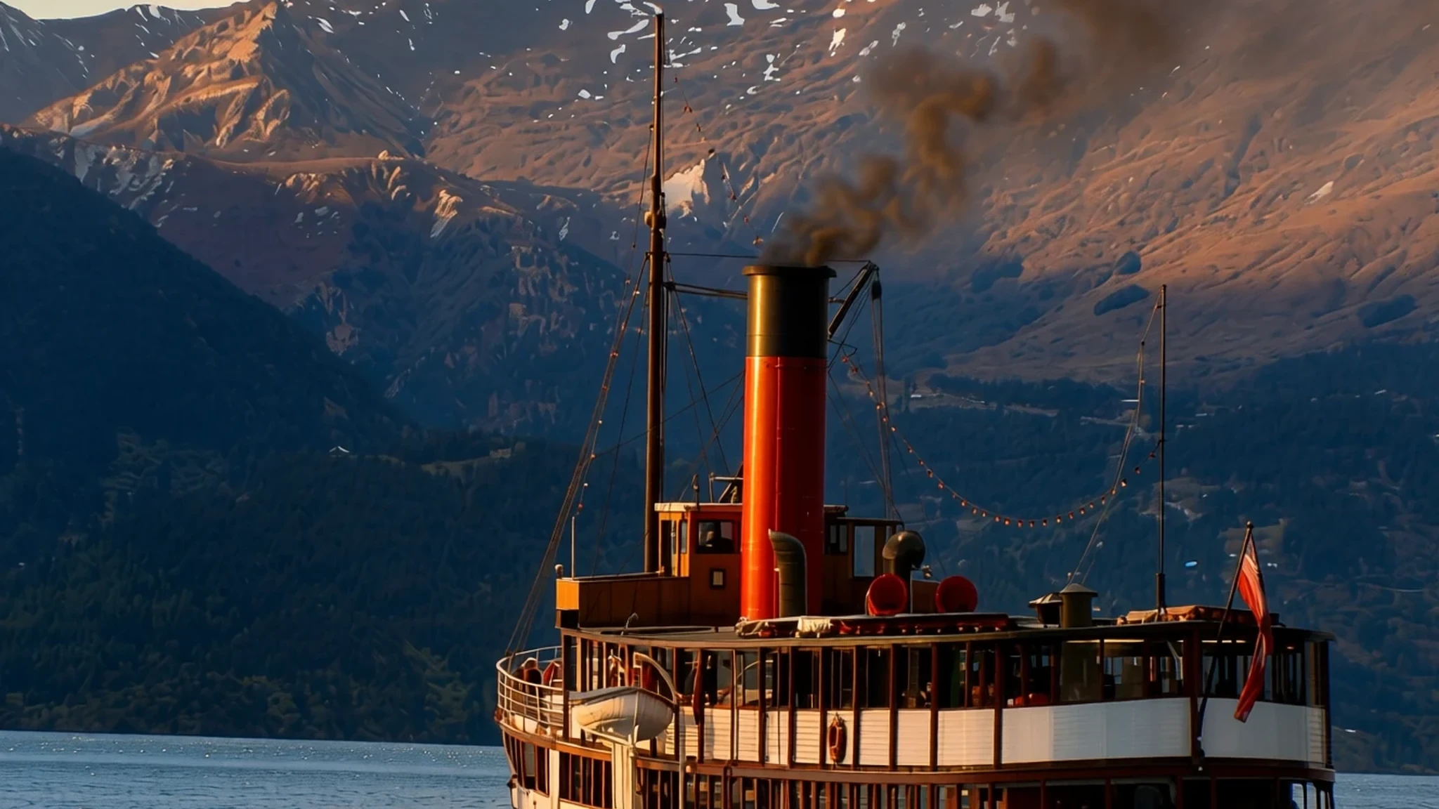
New Zealand's longest lake, a deep finger lake in the Southern Alps, with Queenstown on its northern shore.
The place
Lake Wakatipu (Whakatipu Waimāori) lies in the south-west corner of the Otago region on New Zealand's South Island, close to the boundary with Southland. At about 80 kilometres long it is the country's longest lake, and at 295 square kilometres its third largest. It sits at around 310 metres above sea level towards the southern end of the Southern Alps. The lake is deep: its floor lies about 111 metres below sea level, and the maximum depth is 420 metres. Its shape is hard to read from a map. The Dart River enters at the north end, the water runs south for a long stretch, turns sharply east, then turns south again before reaching Kingston near the bottom. Glenorchy sits in the north-east corner and the small settlement of Kinloch in the north-west. The lake drains through the Kawarau River, which leaves from the Frankton Arm just east of Queenstown. Queenstown itself lies on the northern shore, near the eastern end of the middle section. The mountains shape the weather and the water, which stays cold enough that locals tend to boat on the warmer Lake Wanaka or Lake Hawea instead. Smaller lakes such as Lake Hayes are favoured for swimming.
Its story
Lake Wakatipu appeared on a map in 1843, but nobody had surveyed it, so its position rested on what Māori had described. In September 1853 Nathaniel Chalmers became the first European to see it, though only from a distance; he had been guided there by Reko, a chief of Tuturau. The first Europeans to reach the shore were three men in January 1856. They had been shown the route on a crude map Reko drew in the ground. Their trip is remembered for an accident: one of them discarded a match beside the water and started a large scrub fire. More men made the rough journey, and by 1859 the Staircase and Nokomai stations had been set up, opening the Wakatipu District to settlement. William Gilbert Rees and Nicholas von Tunzelmann visited in 1860 and later took up run holdings around the lake. Gold was found at Dunstan in 1862, starting the Otago gold rush. Prospectors came to the lake, and word that gold had turned up beside it drew still more people. When gold was found on Rees's land, the settlement that became Queenstown took shape. The lake's early story is one of rough maps, careless fires and a rush that turned a remote shore into a town.
What to see
- Queenstown Hill — Queenstown, northern shore
The climb up Queenstown Hill, above the town on the northern shore, is the simplest way to see the whole lake laid out below. From the top the Frankton Arm sits on one side and the mountains run away to the south. Going early or late in the day gives low light across the water, and it is worth allowing plenty of time for the climb and the descent.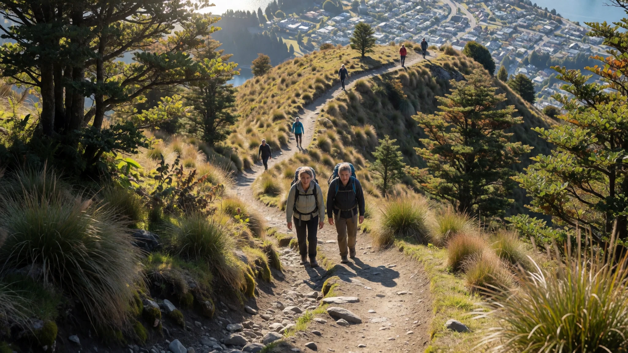
- Glenorchy — north-east corner of the lake
Glenorchy is the settlement in the north-east corner, where the lake narrows toward its head. It works well as a base for quieter walks and river country around the top of the lake. The road in is scenic and winding, with blind corners in places, so it pays to drive slowly. Services are limited compared with Queenstown, so plan food and fuel before you set off.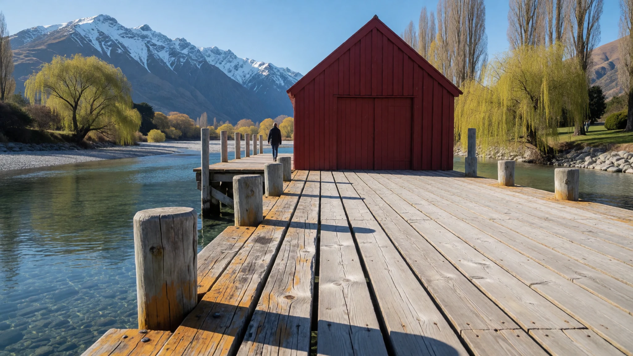
- Kinloch — north-west corner of the lake
Kinloch is a small, isolated locality in the north-west corner, at the far end of the lake from Queenstown. It is quiet and remote, with little more than a handful of buildings. Visitors come for the stillness and the views across the water to the mountains. Bring what you need, because there are few facilities nearby.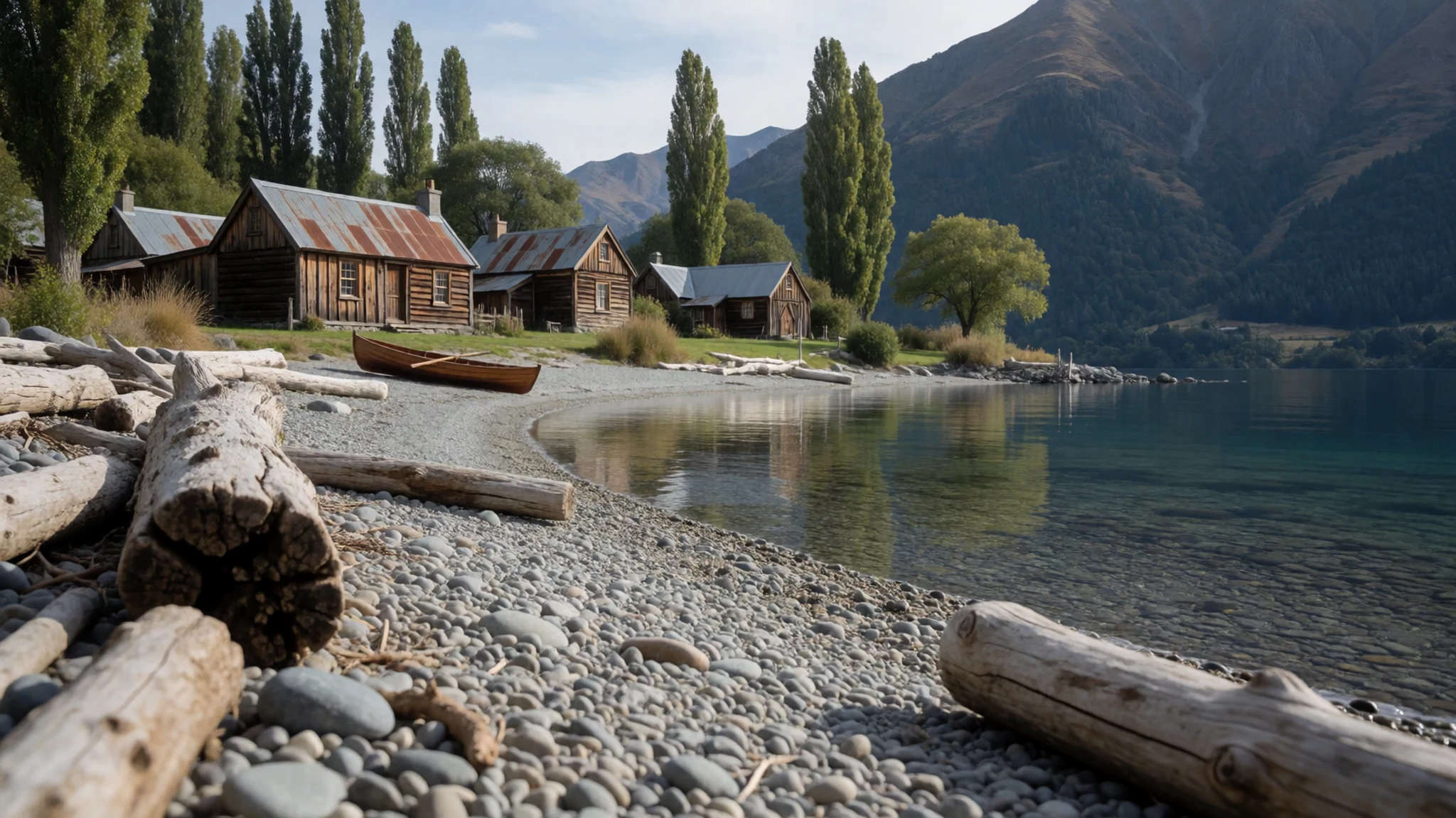
- Frankton Arm — eastern end, near Queenstown
The Frankton Arm is the lake's only arm, reaching in toward Queenstown from the east. The Kawarau River leaves here, eight kilometres east of the town, carrying the lake's water onward. The arm is a good place for a short walk or a boat trip, and the shoreline near the outflow is busy in summer.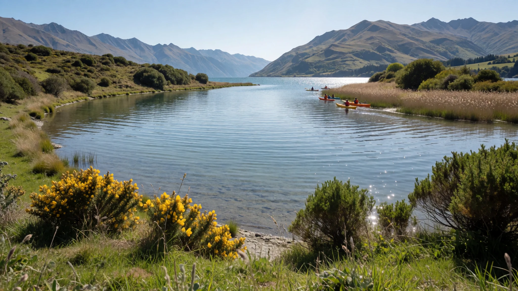
- Gibbston Valley — Gibbston Valley, east of Queenstown
Gibbston Valley, along the Kawarau River, is one of the main wine districts around the lake. Many vineyards here have cellar doors and restaurants, and tastings are a common afternoon outing from Queenstown. The valley is a short drive out of town, and the road is best taken with a designated driver or a tour.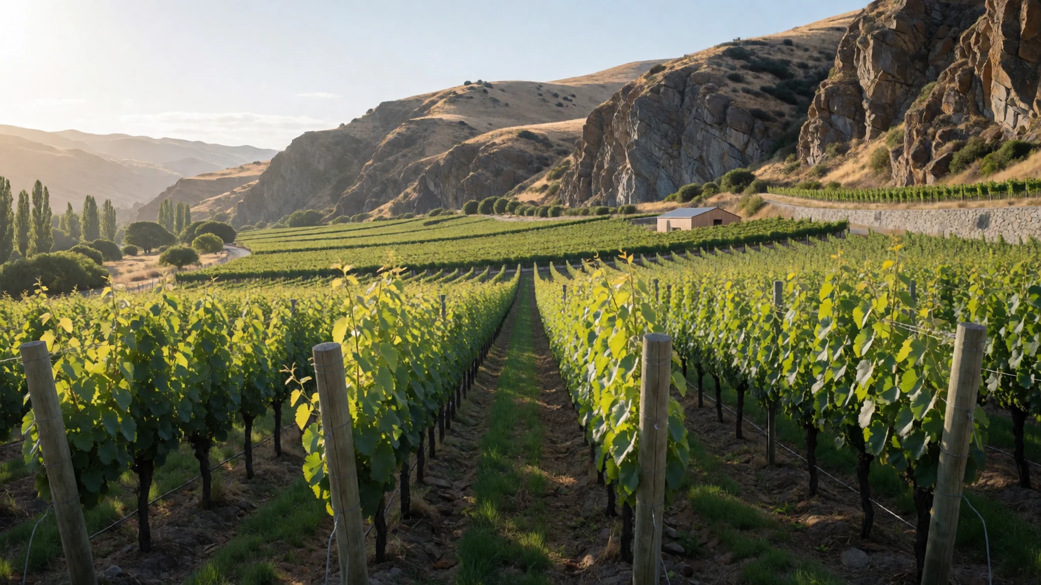
- Kingston Flyer — Kingston, southern end of the lake
The Kingston Flyer is a heritage steam train that follows part of the old river bed the Mataura once used, a route now blocked by glacial moraine. The journey runs at the southern end of the lake, near the town of Kingston. Check the operator's official site for current timetables and fares before you travel.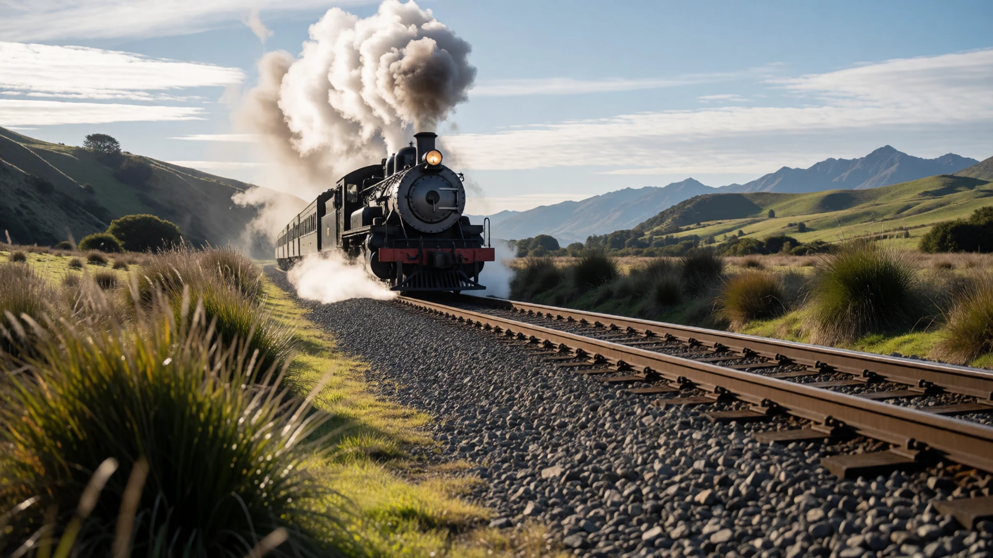
Culture
Lake Wakatipu carries two names, and locals tend to use both: Whakatipu Waimāori in te reo Māori and Lake Wakatipu in English. The Māori name has its own origin, and the lake sits within a landscape that Māori knew long before European surveyors drew it on maps in the 1840s. Saying the Māori name carefully is a small courtesy that guides and local operators appreciate. Daily life around the lake is relaxed. Queenstown and Glenorchy are small towns where people queue patiently at cafés, drive carefully on the winding roads, and value quiet at dawn and dusk. If you want to learn more about Māori history here, book a guided experience with a local operator, because the stories are best heard from the people who carry them. Ask before photographing people working on farms or vineyards, and keep to the signed paths.
What to wear
Traditional Māori dress around the lake, as elsewhere in Aotearoa, centred on the kākahu, a cloak woven from harakeke (flax) and often finished with feathers. Weaving, known as raranga, was a skilled practice passed between generations, and flax fibre was prepared by hand for cloaks, mats and baskets. Kākahu were worn for ceremonies and to mark status, and they are still made today. What people wear now around Queenstown is practical and outdoor-focused: merino and fleece layers, waterproof shells, down jackets in winter, and sturdy walking boots. In winter the town dresses for ski fields, and in summer people wear light layers because the lakeside wind can turn cold quickly. For a visit, pack warm layers even in summer, a windproof jacket, sun protection and shoes with grip for the terrain. Where a guided visit includes a marae, dress modestly with shoulders covered and be ready to remove your shoes if asked.
What to eat
- Central Otago pinot noir — cellar doors and vineyard restaurants in Gibbston Valley and Bannockburn
The region is known for its pinot noir, grown on the dry, sunny slopes of Central Otago. The best place to taste it is at a cellar door in Gibbston Valley or Bannockburn, where many vineyards also run a restaurant. Tastings are usually paid, so ask about options before you order.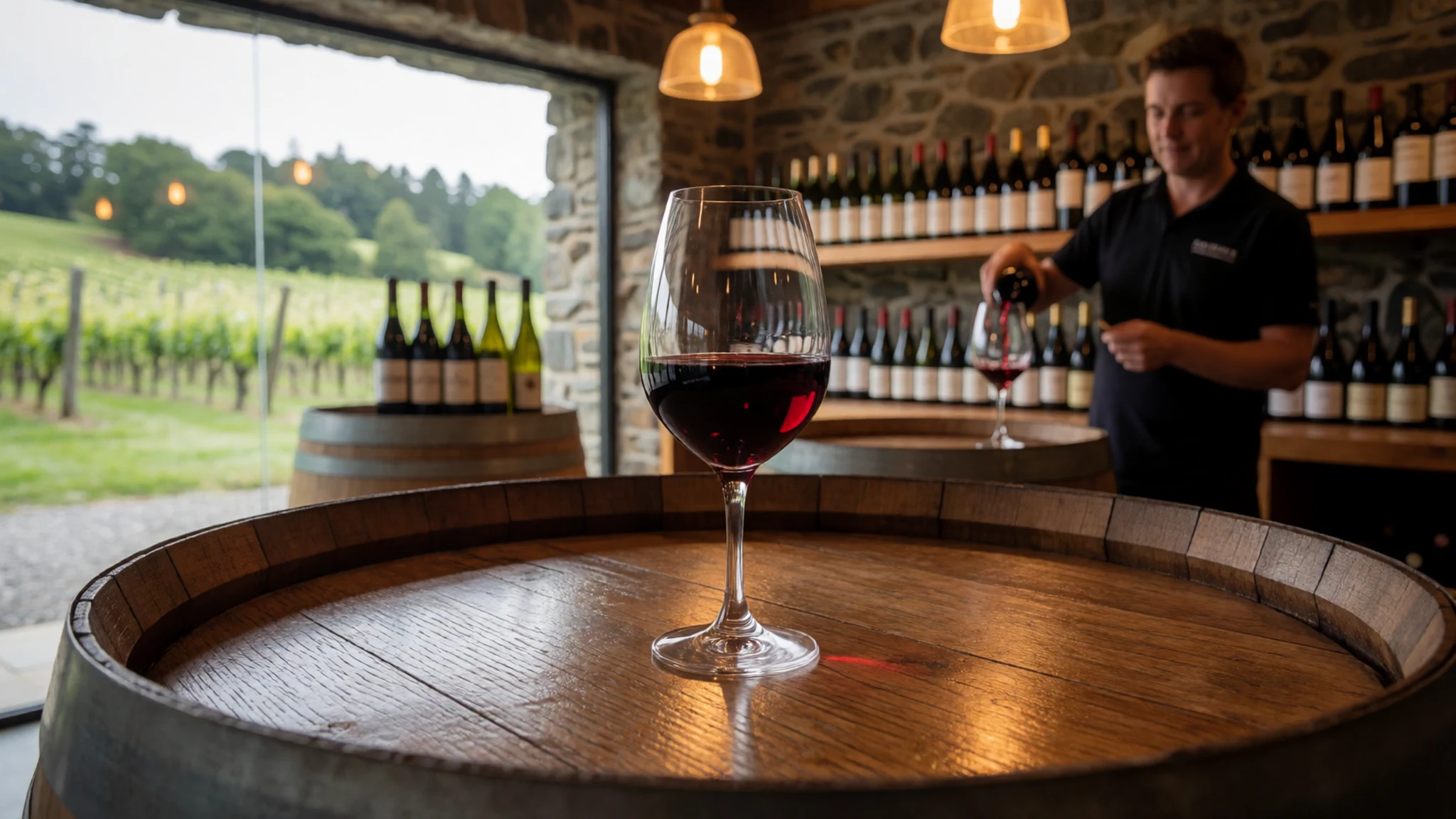
- Lamb — dining rooms and bistros across Queenstown
Lamb appears on many menus in the region, often roasted, grilled or served with local vegetables and a rich jus. It is a reliable choice in the dining rooms of Queenstown, where there are dozens of restaurants to choose from. Order it medium, as is common in New Zealand kitchens.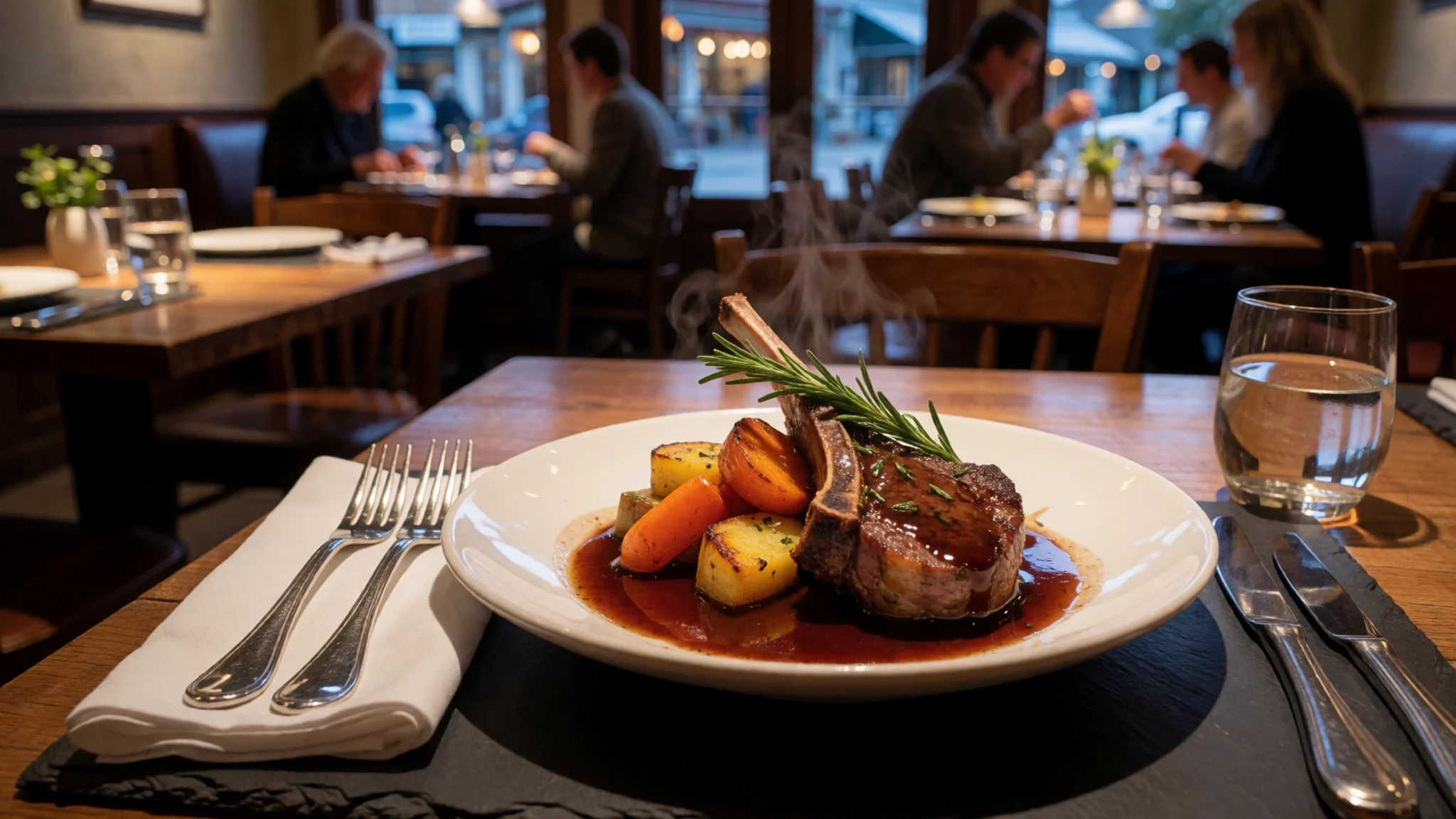
- Bluff oysters — seafood restaurants and fish counters in Queenstown
Bluff oysters come from the cold waters off the Southland coast and are prized for their briny, rich flavour. They are served raw on the half shell or cooked in seafood dishes when in season. Seafood counters and restaurants in Queenstown usually stock them during the season. - Venison — restaurants in Queenstown and Wanaka
Venison from deer farmed in the region is lean and served rare or medium-rare, often with root vegetables and a berry or red wine sauce. It shows up on menus across the Queenstown and Wanaka area. It pairs well with the local pinot noir. - Hokey pokey ice cream — ice cream parlours and dessert shops in Queenstown and Arrowtown
Hokey pokey is vanilla ice cream studded with crunchy toffee pieces, a New Zealand favourite. It is a good treat after a walk along the lakeshore. Look for it in ice cream parlours and dessert shops in Queenstown and Arrowtown.
Plan it
Best time. November to March is the mildest stretch for walking and boating, with longer days, though the lake stays cold. April and October are shoulder months with fewer crowds. Winter from June to August brings snow, the ski season and icy alpine passes, so chains may be needed.
How long. 2–3
Getting there. Queenstown Airport (ZQN) has direct flights from Sydney, Melbourne, Brisbane and the Gold Coast, and from Auckland, Wellington and Christchurch. Flight frequency varies by season and is highest in the ski season. The last leg is by road, either from Dunedin, Invercargill, the West Coast or across the Mackenzie country.
Budget. mid
Tips
- Book flights early for the ski season, when frequency is highest
- Allow extra time on the winding roads, which have blind corners
- In winter carry chains and check road conditions before driving the alpine passes
- Book guided Māori cultural experiences ahead of time
- Carry water and a warm layer for lakeside walks, even in summer
Etiquette
- Keep to signed paths and stay off private farmland
- Ask before photographing people, especially on farms and in vineyards
Nearby
Sources
- Wikidata Q127469 (CC0)
- Wikipedia: Lake Wakatipu (rev 1382080487) (CC BY-SA 4.0)
- Wikivoyage: Queenstown-Lakes (rev 4997312) (CC BY-SA 4.0)
- Photo: Lake Whakatipu from Queenstown (Public domain)
- Photo: Lake Wakatipu, Hagai Agmon-Snir (CC BY-SA 4.0)
- Photo: Lake Wakatipu and Remarkable Mountains, Coekon (CC BY-SA 4.0)
- Photo: Devil's Staircase at Lake Wakatipu aerial panorama, BobTanGo (CC BY 4.0)
- Photo: Wakatipu landsat (Public domain)
- Photo: Lake Wakatipu by Queenstown, Alex Wahlmann (CC BY 3.0)
- Photo: Lake Wakatipu from Queenstown Hill, Harshavardhan Deuskar (CC BY-SA 4.0)
- Photo: Paddle steamer Mountaineer at Elfin Bay jetty, Albert Percy Godber (Public domain)


