Lake Tana
Lake Tana, Ethiopia
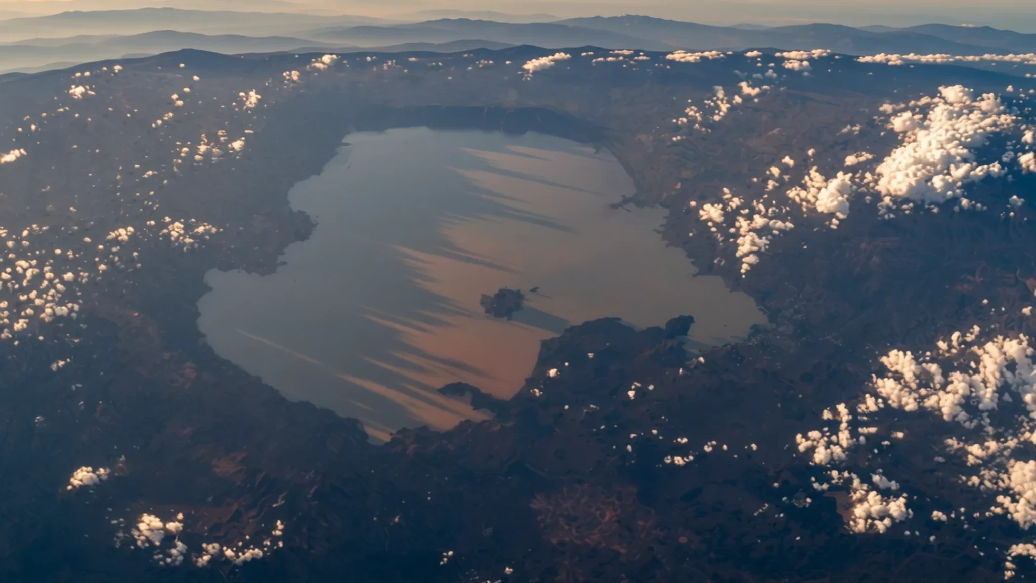
Ethiopia's largest lake, the source of the Blue Nile, reached by boat past island monasteries and reed-fringed shores.
The place
Lake Tana is the largest lake in Ethiopia, lying in the Amhara Region on the north-western edge of the Ethiopian Highlands at 1,788 metres above sea level. It is about 84 kilometres long and 66 kilometres wide, but it is shallow, with a maximum depth of 15 metres, so its surface area moves with the seasons and rainfall, from roughly 3,000 to 3,500 square kilometres. Seven large permanent rivers and about 40 small seasonal streams feed it, the largest being the Gilgel Abay, the Reb, the Gumara and the Megech. Water leaves at a control weir where the Blue Nile begins, and the weir regulates the lake level and sets the flow to the Blue Nile Falls and a hydro-power station downstream.
The shoreline is a mix of open water, reed-fringed bays and small peninsulas where hills run down to the edge. Fishing boats work the lake, and several islands and peninsulas hold churches and monasteries, some with painted interiors and old manuscripts that remain in active use. Bahir Dar, the main city on the lake, is the usual base for visitors, with boats leaving from its waterfront for the islands.
Ethiopia's highlands are not what many people picture when they think of East Africa. The landscape and culture here are distinctive, and several endemic species live in the region, so the lake suits anyone interested in birds and wetland life. Water levels, boats and road conditions all shift with the rains, so the lake is best understood as a changing place rather than a fixed view.
The region has also been affected by recent conflict, and the situation can change quickly. Check current official travel advice before making plans, and take local guidance seriously.
Its story
The lake's history is written largely on its islands. Churches and monasteries have stood there for centuries, and their communities have kept manuscripts, painted icons and processional objects that are seldom seen beyond the shore. Their island setting kept them apart from the mainland for long periods, which helped older routines and rites survive.
The highlands around the lake were the heartland of a much older story. The Kingdom of Axum dominated the region in the first millennium AD, and its stelae, rock-hewn churches and inscriptions still mark the wider northern highlands. Later, Gondar became a royal seat, and its stone castles show a court that borrowed freely from several building traditions.
The lake's modern role is shaped by water. The Blue Nile leaves the lake at a weir built to control the level, and the flow it releases now supports the falls and a hydro-power station downstream. Farmers and fishermen along the margins depend on the seasonal rise and fall, which means the shoreline itself changes from one year to the next.
Recent history has been harder. Between 2020 and 2022 fighting affected large parts of northern Ethiopia, leaving damaged buildings, landmines and political tensions that remain. These events form part of the lake's present, and they shape which journeys are sensible today.
What to see
- Blue Nile Falls (Tis Abbai) — Blue Nile gorge, a day trip from Bahir Dar
The falls sit on the Blue Nile a short way downstream of the lake, and they are most striking in the wet season, when the water runs high and the spray carries across the gorge. A day trip from Bahir Dar is the usual plan. The flow is controlled upstream by the weir, so the falls look different from year to year, and the hydro-power station nearby is part of the same system. Go early for softer light and fewer visitors.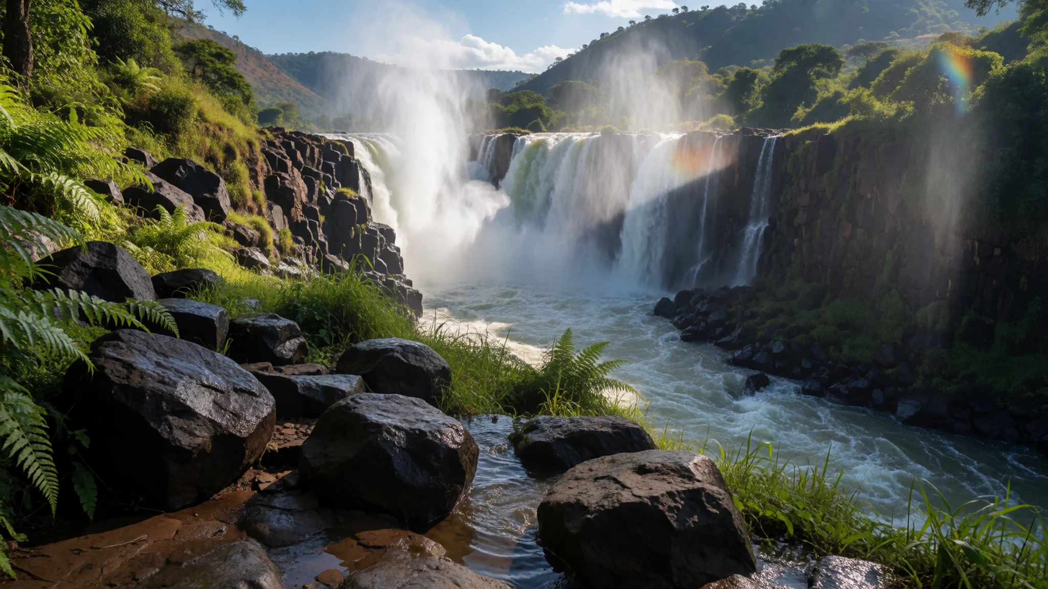
- Bahir Dar and the lakeshore — Bahir Dar waterfront, southern shore
Bahir Dar is the usual base for the lake, a city with a waterfront promenade where boats leave for the islands. Guesthouses and eateries cluster near the water, and many visitors spend a day or two here before heading out by boat. Walk the shore in the late afternoon, when fishing boats come in and the light turns golden across the water.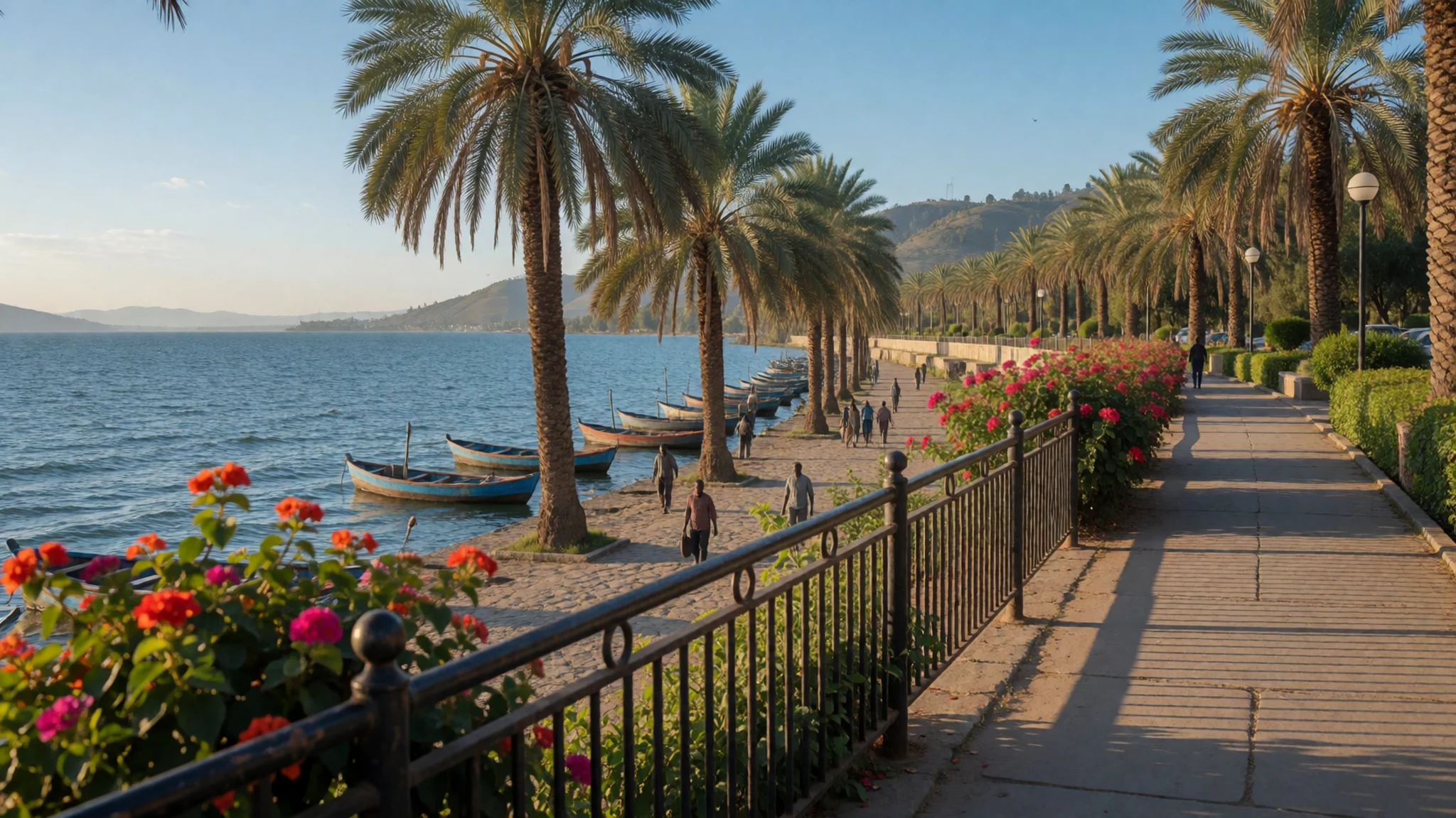
- Zege Peninsula — Zege Peninsula, reached by boat from Bahir Dar
The Zege Peninsula juts into the lake and is reached by boat from Bahir Dar, through a landscape of fields and eucalyptus. Local guides lead walks past old churches and monasteries, and hillside villages offer views back across the water. Expect to hire a guide, as the paths are not always marked. Start early for the calmest water and the clearest air.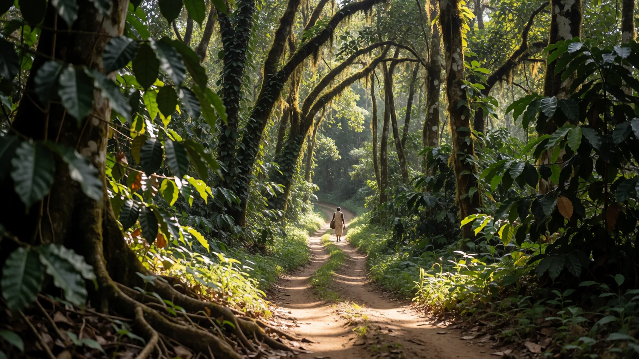
- Island churches and monasteries — Islands and peninsulas of the lake, by boat from Bahir Dar
Many churches and monasteries sit on islands and peninsulas, most reached by a short boat trip from the shore. Their painted interiors, carved wooden doors and manuscripts are the main reason to make the crossing, although many buildings are small and dim inside. Dress modestly, cover the hair for women and leave shoes at the threshold. Boats are usually arranged through guides in Bahir Dar, and a half-day trip is common.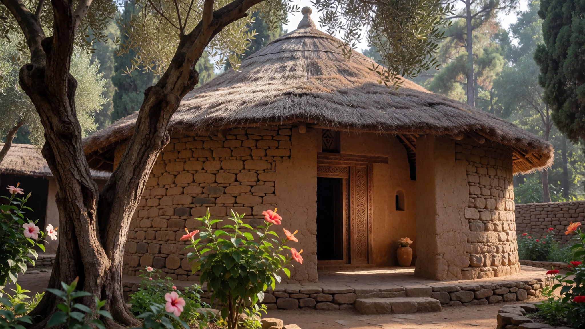
- Gondar's castles — Gondar, a city north-east of the lake
Gondar's enclosure holds several castles built in stone by a line of royal rulers, and the walls and courtyards show a mix of influences. The city is usually visited as a separate trip from the lake and makes a useful detour on a longer northern circuit. Guided visits help with context, and the castles are best seen in the morning, before the midday heat.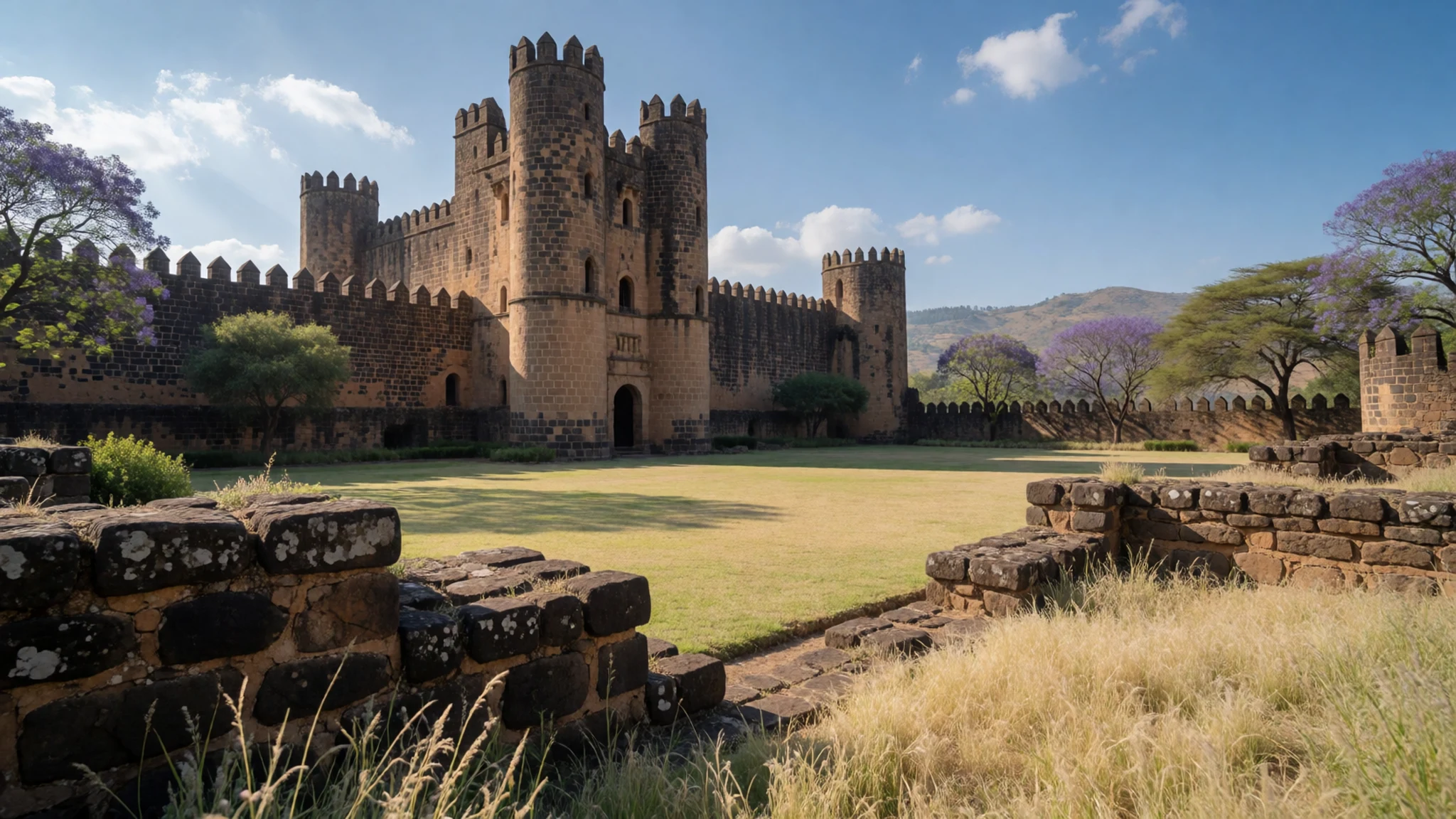
Culture
Lake Tana sits in a region where Orthodox Christianity is the main faith, and the island churches and monasteries are working places of worship. Many have clear customs for visitors. Women are often asked to cover their hair and wear long skirts, and men should wear trousers and covered shoulders. Photography inside churches and of priests or monks may be restricted, so it is polite to ask first. Greetings matter, and people often expect a short conversation before any business. Guides and boatmen appreciate tips, though no fixed rate applies. Coffee ceremonies in homes are social occasions that take time, and accepting the cup is a courtesy. Remove your shoes before entering any church compound, and step onto a church floor only when the priest or caretaker indicates it is fine.
What to wear
The traditional dress of the highlands is built around white or cream cotton, hand-woven on looms. Women wear the kemis, a long, straight dress, often with a fine shawl called a netela that has woven borders in coloured thread. Men wear the shamma, a wrapped cotton cloth with bands of colour along the edges, which is also used as a shawl. These garments are worn most often for church, weddings, holidays and formal visits.
In towns around the lake, people now wear Western clothing such as jeans, shirts and dresses for everyday life, and traditional dress comes out for church, feasts and family events. Many people keep a white shamma or netela for worship, even when the rest of their outfit is modern.
A visitor should dress for a cool evening and a hot midday. Light, loose cotton in long sleeves and trousers or a long skirt suits both the sun and the churches. Carry a scarf so women can cover their hair when entering a church, and wear shoes that can handle mud and stone paths, since many island and hillside routes are uneven.
What to eat
- Injera with shiro — Any local eatery in Bahir Dar's town centre
Injera is a sour, spongy flatbread made from teff, and shiro is a thick stew of ground chickpeas or broad beans spiced with berbere. Eaten together from a shared platter, they make the everyday meal across the highlands.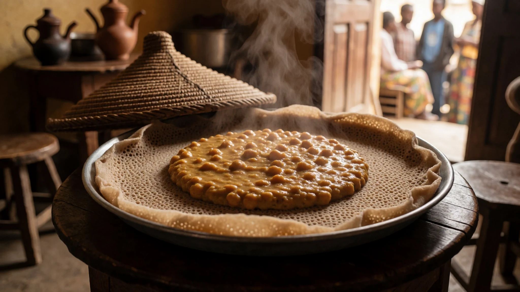
- Doro wat — Family-run eateries in Bahir Dar and in lakeside villages
A slow-cooked chicken stew in a deep red sauce of onions, berbere and niter kibbeh, usually served on injera with a boiled egg. It is the dish for holidays and special occasions, and the best versions take hours.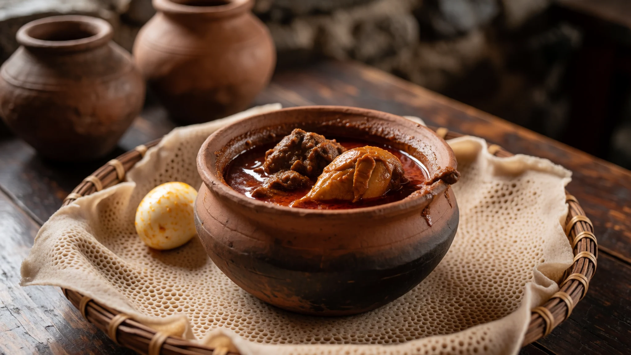
- Tibs — Evening grill houses on the streets near Bahir Dar's market
Cubes of beef or lamb fried quickly with onion, green chilli and spices, served sizzling on a small plate. It is quick, filling and a good choice for an evening meal. - Ethiopian coffee ceremony — Homes and small teahouses in the lakeside towns, often by invitation
Coffee is roasted, ground and brewed in a clay pot called a jebena, then served in small cups, often with popcorn or sugar. A full ceremony takes an hour or more and is a social event as much as a drink. - Grilled lake fish — Simple fish restaurants on the Bahir Dar lakeshore
Fish caught on the lake is usually grilled or fried whole and served with injera, salad and a spicy sauce. It is a lighter plate than the stews and is best eaten close to the water where it was caught.
Plan it
Best time. October to February, when the skies are drier and the lake views clearer. June to September is the rainy season: the falls run highest, but roads and paths can be hard going.
How long. 2–3
Getting there. Bahir Dar Ginbot Haya Airport (BJR) is the nearest airport, a short drive from the lakeshore. Gondar Airport (GDQ) serves the northern circuit, with the castles a separate trip from the lake.
Budget. mid
Tips
- Check current official travel advice before booking, as conditions in the region can change quickly
- Arrange a boat and a licensed guide in Bahir Dar in the morning, when the water is calmest
- Visit the Blue Nile Falls early, before the heat builds and the day visitors arrive
- Carry cash for boats, guides and small purchases, since cards are rarely accepted outside hotels
- Bring water, a hat and a layer, because the highlands are cool in the evening
Etiquette
- Remove shoes before entering church compounds
- Ask before photographing people or the inside of a church
- Accept coffee in a home as a courtesy and keep the visit unhurried
Nearby
Sources
- Wikidata Q116685 (CC0)
- Wikipedia: Lake Tana (rev 1372975578) (CC BY-SA 4.0)
- Wikivoyage: Amhara (rev 5312996) (CC BY-SA 4.0)
- Lake Tana, Ethiopia — Justin Clements (CC BY 2.5)
- Lake Tana, Ethiopia (island church) — A.Davey (CC BY 2.5)
- A tour guide on Zege Peninsula — RNLockwood (CC BY-SA 4.0)
- Beginning of the Blue Nile River — Ondřej Žváček (CC BY 3.0)
- A resort hotel in Bahir Dar — ZeGhion (Public domain)
- Lily pads on Lake Tana — RNLockwood (CC BY-SA 4.0)
- Pelicans on the lake Tana, Ethiopia — Justin Clements (CC BY 2.5)
- Ethiopia Tana Lake — Cooperazione (CC BY-SA 4.0)


