Lake Pukaki
Lake Pukaki, New Zealand
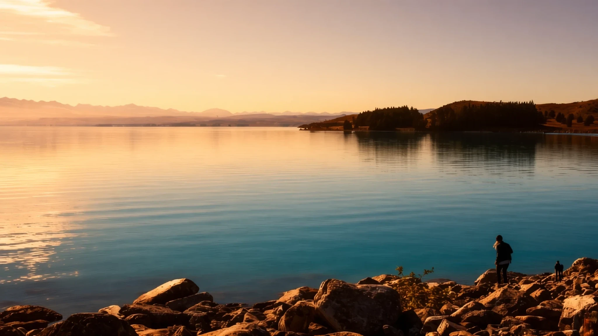
Lake Pukaki is a glacier-fed turquoise lake with the snowy peaks of Aoraki / Mount Cook across the water, and it is easy to reach by road.
The place
Lake Pukaki lies on the northern edge of the Mackenzie Basin in the South Island of New Zealand. Pukaki ranks as the biggest of a trio of high-country lakes lying nearly side by side, all stretching north to south along the rim of the basin. Its two companions are Tekapo and Ōhau. All three were formed in the same way. As glaciers receded, they left ridges of rubble, known as terminal moraines, which blocked the valleys and let meltwater collect behind them. Pukaki covers 178.7 square kilometres and sits at about 520 metres above sea level. Its colour is the first thing most visitors notice. Glaciers grind rock into a very fine powder, called glacial flour, and the meltwater carries it into the lake, where it scatters light into a milky blue-green. The braided Tasman River feeds the lake at its northern end, rising in the Tasman and Hooker Glaciers close to Aoraki / Mount Cook. To the west, the Ben Ohau range climbs steeply above the shore. On the eastern side, the land is flatter and used for farming between Pukaki and Tekapo. From the southern shore, the taller peaks of Aoraki / Mount Cook National Park are visible across the water. The Alps2Ocean mountain bike trail follows the lake edge for part of its length, so cyclists and walkers share the same long views as the drivers.
Its story
English colonists settled Canterbury in the 1850s, in a scheme planned and developed by the Canterbury Company. The high country inland of the plains was far harder to settle. The district that now carries the name Mackenzie Country takes its name from James Mackenzie, a sheep rustler of the same decade whose exploits gave the basin its enduring nickname. Sheep runs spread across the tussock, and for a long time the lakes were simply part of the rough grazing land. That changed when hydroelectric engineering arrived. Power stations at Waitaki were built in the 1930s, and the station at Lake Tekapo followed in the late forties. The turning point came in the early sixties, when high-voltage direct current technology made it practical to send large amounts of electricity from the South Island to the North Island, where demand was growing. After that, the Mackenzie Country and the wider Canterbury region became a centre of hydro scheme construction. Canals, dams and intake works reshaped the water and the land around the lakes, and the basin's farms and its power infrastructure have existed side by side ever since. Pukaki today is both a scenic destination and part of that engineered system, and visitors who look closely at the shoreline can still see how the landscape was remade for electricity.
What to see
- Lake Pukaki shoreline — Mackenzie Basin, South Island
The lake itself is the main attraction, and the best views open up from the stretches of road and gravel that run beside the water. The colour changes with the light and the weather, from pale milky turquoise on a bright day to a deeper grey-blue under cloud. Stop at a safe pull-off rather than on the road edge, and take time to walk down to the shore where the access allows it.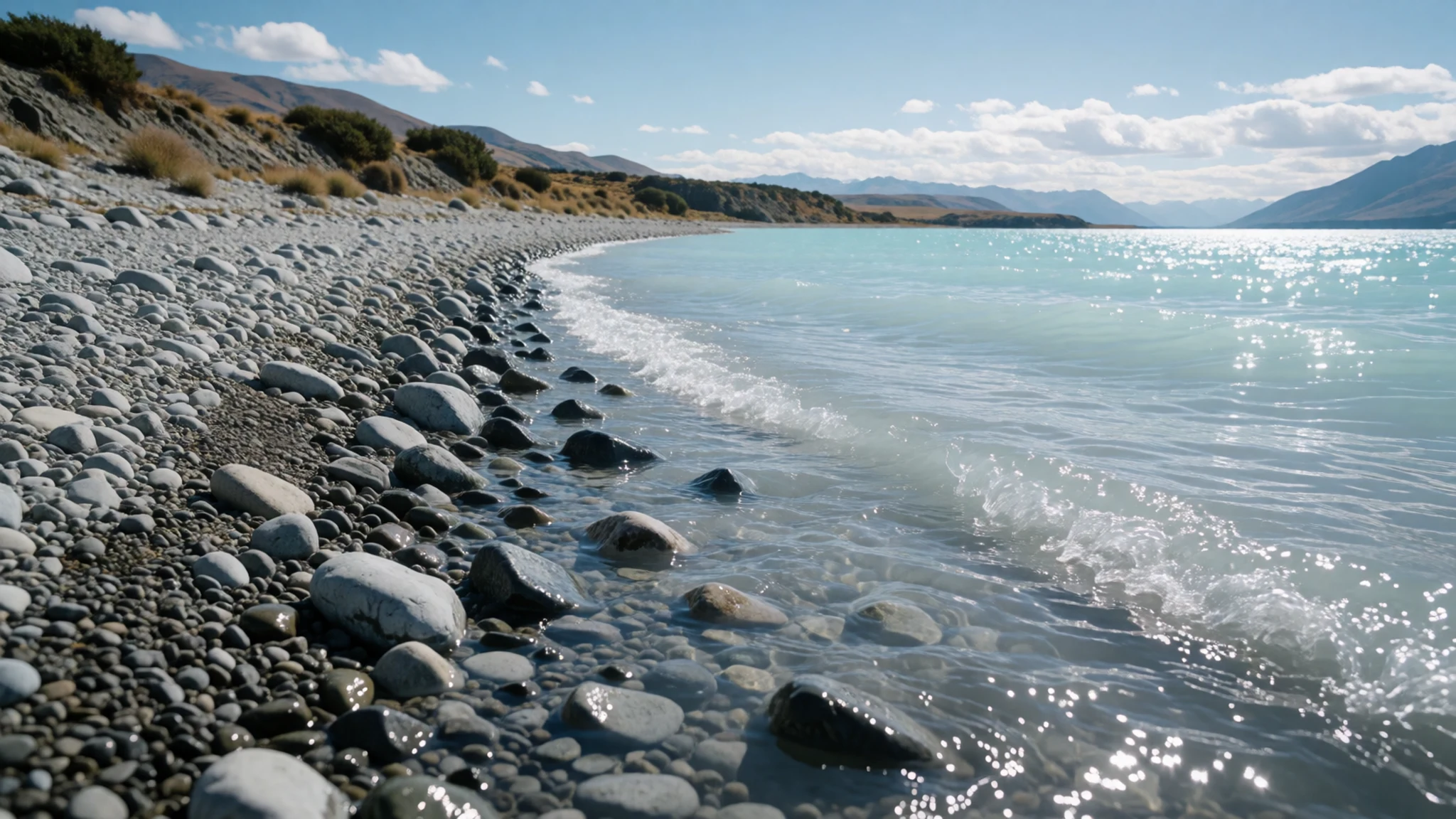
- Views of Aoraki / Mount Cook — Southern shore, Mackenzie Basin
The highest peaks of Aoraki / Mount Cook National Park rise across the lake from the southern shore. On a clear day their snow and rock stand out sharply above the water, and in autumn the light can make them look almost painted. Weather in the mountains changes quickly, so cloud can hide the summits for hours or even days. Bring a camera with a zoom if you want detail, and check conditions before you travel.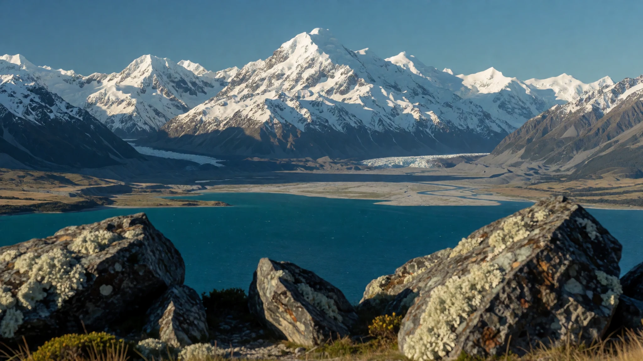
- Tahr sculpture — Lake Pukaki lookout
A large sculpture of a Himalayan tahr, an introduced wild goat that roams the high country, overlooks the lake. It was dedicated by Henrietta, Dowager Duchess of Bedford, in recognition of the contribution the Duchess made to the area. The viewpoint gives a good sense of the lake's length and makes a short stop. Allow a few minutes to read the plaque and take a photograph from the path.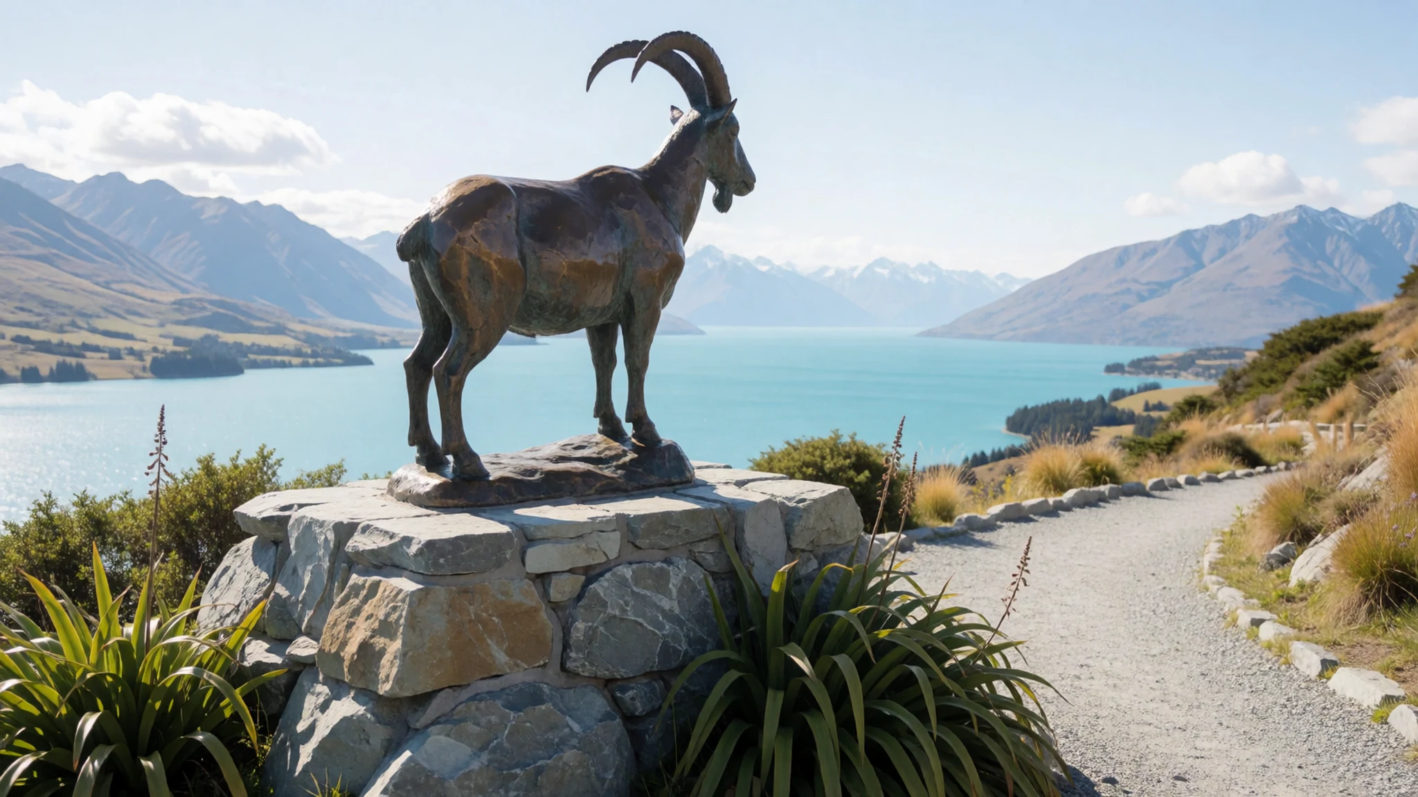
- McAtamney Gallery — Canterbury
This modern and contemporary art gallery shows work by New Zealand artists, which makes it a useful break from the open landscape. The collection gives a sense of how local painters and makers have responded to the South Island's light, weather and mountains. Check the official website or listing before you visit, as opening times can change with the season.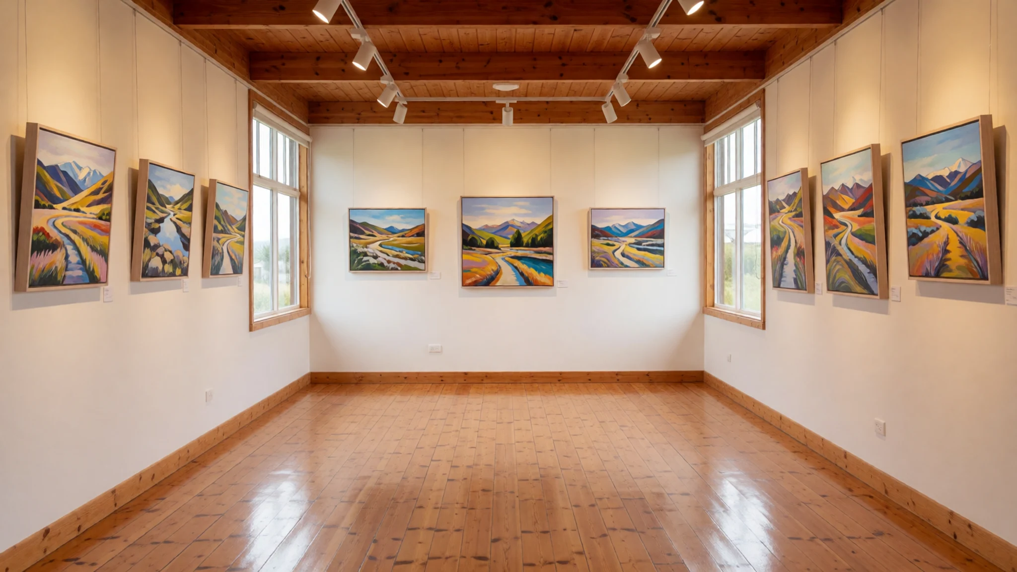
- Lake Ruataniwha rowing course — Canterbury, near the hydro scheme
Lake Ruataniwha is an artificial lake built for rowing, and it grew out of a hydro project manager's wish to give something back to the community. He had never watched a rowing race before he set out to build the course. The lake is a calm, flat contrast to the glacial water further up the basin. Rowing events and training sessions use it, so check the schedule before you plan a visit.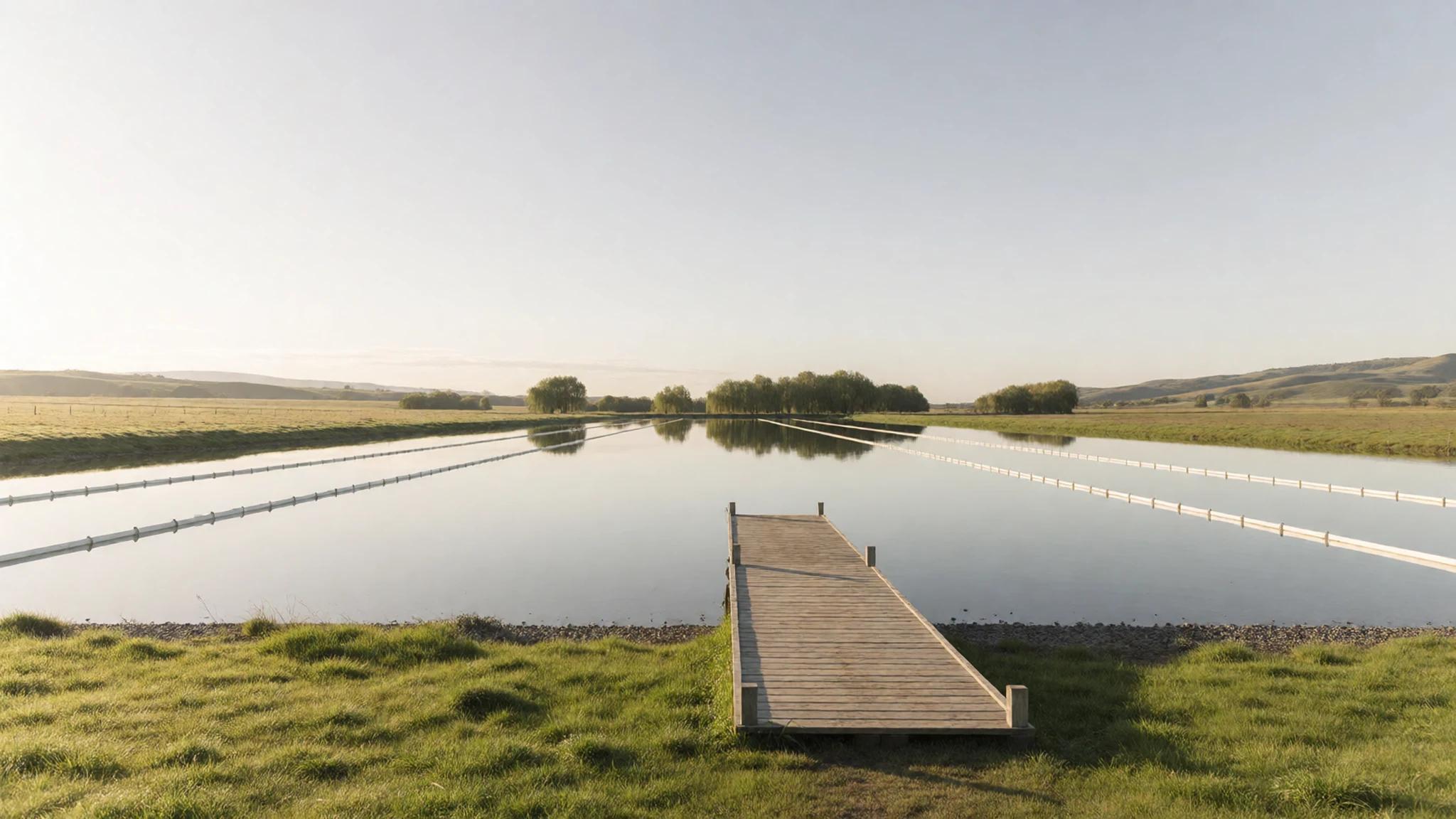
Culture
Pūkaki is a Māori name, and the lake sits within the traditional lands of Ngāi Tahu, the iwi of the South Island. Place names across the region carry stories and whakapapa, so it helps to use them correctly and to read the interpretation boards that explain them. Many of the hydro structures and farms here are working sites rather than attractions, and the local community takes pride in both its landscape and its engineering heritage. Conversation is relaxed and friendly, and locals are often happy to talk about the high country if you show interest. Remember that some areas are private farmland, so stay on public roads and marked tracks and close gates behind you. Stop only where there is space to pull clear of the road, because the verges are narrow and the traffic can be fast. Ask before photographing people at a marae, and keep to marked tracks along the lake edge.
What to wear
Lake Pukaki sits in a tradition that predates the lake's engineering history: Māori dress in the South Island, as elsewhere in Aotearoa, centres on the kākahu, a cloak woven from harakeke (New Zealand flax) fibre. Kākahu are worn for ceremony and important occasions rather than daily life, and their patterns and finishes carry meaning for the people who make and wear them. In everyday life across the Mackenzie Basin, people dress for the weather. Farm wear, merino layers, fleece and a windproof jacket are common, along with sturdy boots, and most people carry a hat and sunglasses because the sun is strong at altitude. For a visit, dress in layers that can handle sudden changes, since the wind across the open basin can be cold even in summer. Bring a warm top, waterproof shell and comfortable walking shoes with grip for shoreline paths. Modesty norms are relaxed, though a respectful, plain outfit is appropriate at a marae or a cultural event.
What to eat
- Canterbury lamb — Local butchers and restaurants in Timaru and Christchurch
Lamb is one of the region's signature foods, reflecting the long tradition of sheep farming across the basin and the wider plains. Cuts such as rack and leg are often roasted or grilled, and they appear on menus in towns across the South Island. Look for it in a traditional butcher or at a restaurant that lists local sourcing, and ask about the producer if the menu is unclear.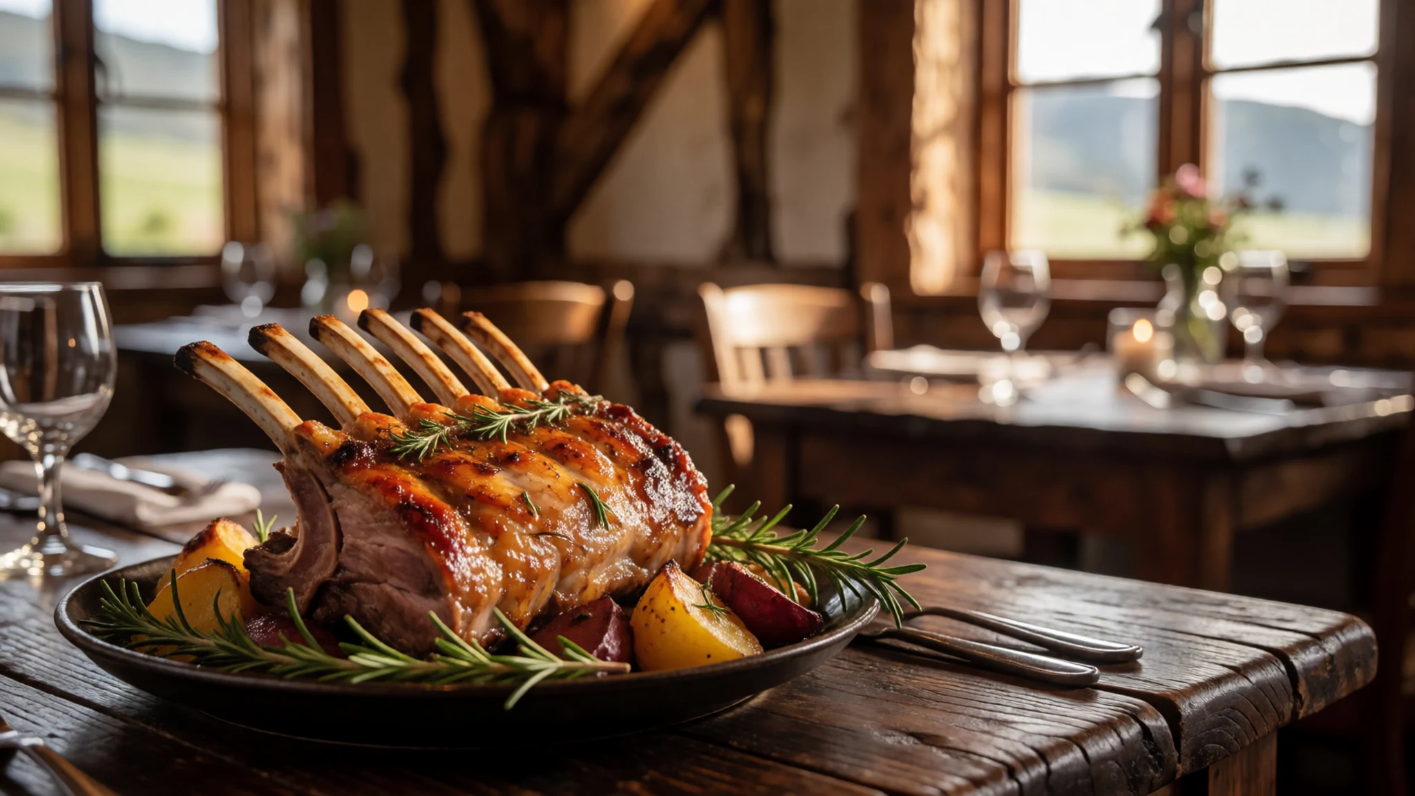
- Farm-gate produce — Roadside stalls along the rural roads of the Mackenzie Basin
Roadside stalls sell fruit, vegetables, eggs and preserves from nearby farms. Quality is good, but the prices are often similar to city supermarkets, so do not expect a bargain. The real reward is the rare and seasonal produce, which is grown in quantities too small for large shops. Stalls are usually on rural roads, so bring cash and check whether they are open before you set out.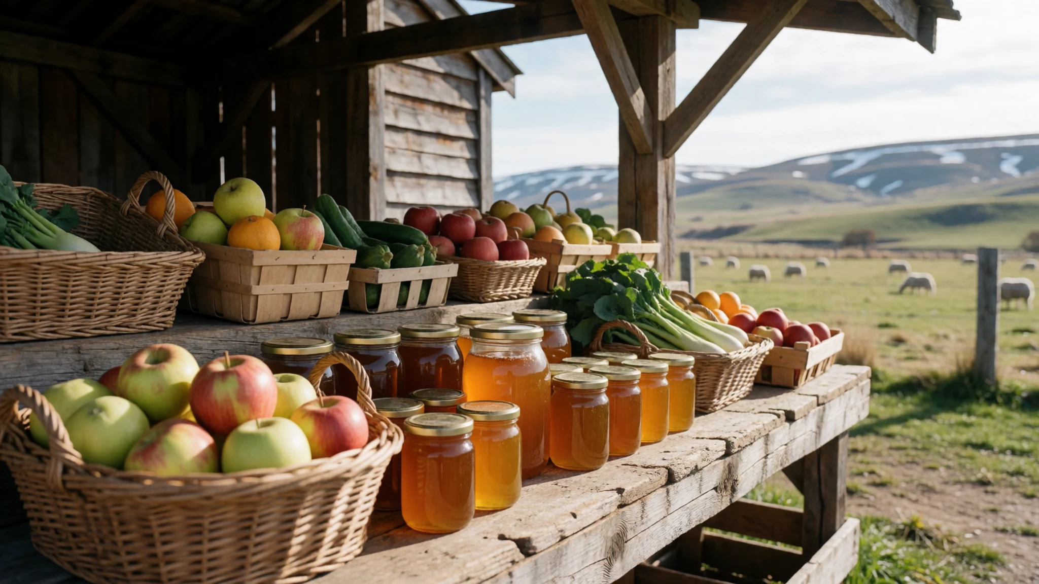
- Local wines — Cellar doors and wineries across Canterbury
A small number of specialist wine makers in the region work with the cool, dry climate and the particular soils of their own properties. Their bottles are rarely cheap, and production is small, so they are best bought at the cellar door. Tasting is often relaxed, and staff can explain how the wine was made and where the grapes grew. - Hokey pokey ice cream — Cafés and ice cream shops in towns across the South Island
Hokey pokey is a vanilla ice cream studded with crunchy toffee pieces, a favourite across New Zealand. It is a good treat after a cold morning at the lake. Most cafés and ice cream shops in the South Island towns serve it, and it is often sold in cones or tubs during the warmer months.
Plan it
Best time. December to March brings the longest days and the most reliable weather for lake views, though it is also the busiest season. Autumn from March to May gives clear air and changing colours on the hills, while winter can bring snow and icy roads. Check current conditions before you travel, as weather changes quickly in the high country.
How long. 2–3
Getting there. Fly into Christchurch International Airport, then drive to the lake by road. The journey takes most of a day, so plan a break along the way, and allow time for stops at the lake edge.
Budget. mid
Tips
- Check the official site or local tourism information for current opening times and any road closures before you set out
- Fill up with fuel and carry water and snacks, as services are sparse across the basin
- Carry cash for roadside stalls and small cafés, since some do not take cards
- Start early on clear days for the calmest water and the best views of the peaks
- Dress in layers and bring sun protection, because the wind and sun can be strong at altitude
Etiquette
- Stay on public roads and marked tracks, and close farm gates behind you
- Pull fully off the road when you stop, and never park on narrow verges
- Ask before photographing people, especially at marae or cultural events
Nearby
Sources
- Wikidata Q1347588 (CC0)
- Wikipedia: Lake Pukaki (rev 1366267357) (CC BY-SA 4.0)
- Wikivoyage: Canterbury (New Zealand) (rev 4826980) (CC BY-SA 4.0)
- Photo: Lake Pukaki, Hagai Agmon-Snir (CC BY-SA 4.0)
- Photo: Lake Pukaki in summer, Wildman NZ (CC BY-SA 4.0)
- Photo: Tahr statue, Wildman NZ (CC BY-SA 4.0)
- Photo: Lake Pukaki Tahr sculpture, Schwede66 (CC BY-SA 4.0)
- Photo: Lake Pukaki with Aorangi, James R Rowe (CC BY-SA 4.0)
- Photo: Lake Pukaki, W. Bulach (CC BY-SA 4.0)
- Photo: Mount Cook Rd. 80 along Lake Pukaki, W. Bulach (CC BY-SA 4.0)
- Photo: An Alpine Landscape NZ, Bernard Spragg (CC0 1.0)


