Lake Namtso
Lake Namtso, People's Republic of China
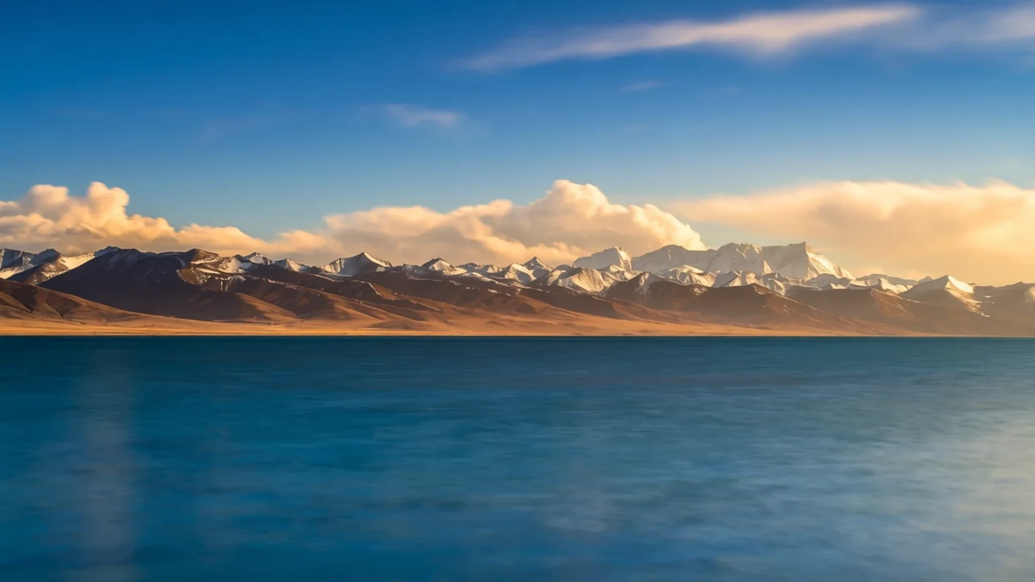
Tibet's largest lake sits at 4,718 m on the plateau, a sacred water beneath the Nyenchen Tanglha range.
The place
Namtso lies on the Tibetan Plateau, about 112 km (70 mi) north-north-west of Lhasa, on the boundary between Damxung County and Baingoin County. Its Chinese name is 纳木错, and it is known in Tibetan as Namtso or Nam Co. Older writing and Mongolian speakers call it Tengri Nor, the Heavenly Lake. The water sits at 4,718 m and covers about 1,900 square kilometres, which makes it the largest lake in the Tibet Autonomous Region. It is not the largest on the plateau, though. Qinghai Lake, far to the north-east, is more than twice its size.
The lake is salt, and its shore is backed by the Nyenchen Tanglha range, whose peaks often hold snow well into the year. Five uninhabited islands of reasonable size lie in the water, alongside a few rocky outcrops. The largest island sits in the north-west corner, and at its nearest point it is about 3.1 km from the shore. On a clear day the water shifts between deep blue and turquoise as cloud moves across the basin.
The weather here turns quickly. A calm morning can become a snow squall within an hour, and snowstorms are common across the mountains. Warm windproof layers, water and sun protection are sensible even in summer, and the thin air at this height makes a short walk along the shore feel longer than it looks.
Its story
The basin holding Namtso took shape in the Paleogene, when movement of the Himalayan tectonic plates lifted and folded the land. Water gathered in the low ground between ranges and, over a very long span, settled into the salt lake seen today. Geology explains how the lake came to be. The people who live beside it explain what it means in a different way.
For Tibetan Buddhists the lake is sacred, and its islands have long drawn pilgrims. At the end of winter, when the surface had frozen solid, some walked out across the ice carrying their food. They spent the summer on the islands and could not get back to land before the next freeze. The retreat was a devotion built on isolation and patience. Chinese authorities have since stopped the practice, so it now survives mainly in older accounts and memory.
Mongolian tradition knows the water as Tengri Nor, a name that points to a reverence shared across the plateau's peoples. Herding families still move their animals across the grassland in summer, following the seasons, and their camps remain part of the lake's everyday life. Prayer flags strung at roadside stops carry the same spirit into modern travel, marking the crossing and the lake's place in local belief.
What to see
- The lake shore — Damxung County shore
The shoreline is where most people stand to see Namtso properly. The water fills the view to the south, with the mountains behind it and open grassland on the near side. Stay on the paths and avoid the fragile edges, where the ground can be soft. Mornings are often calmer and clearer than afternoons, when wind and cloud tend to build over the plateau.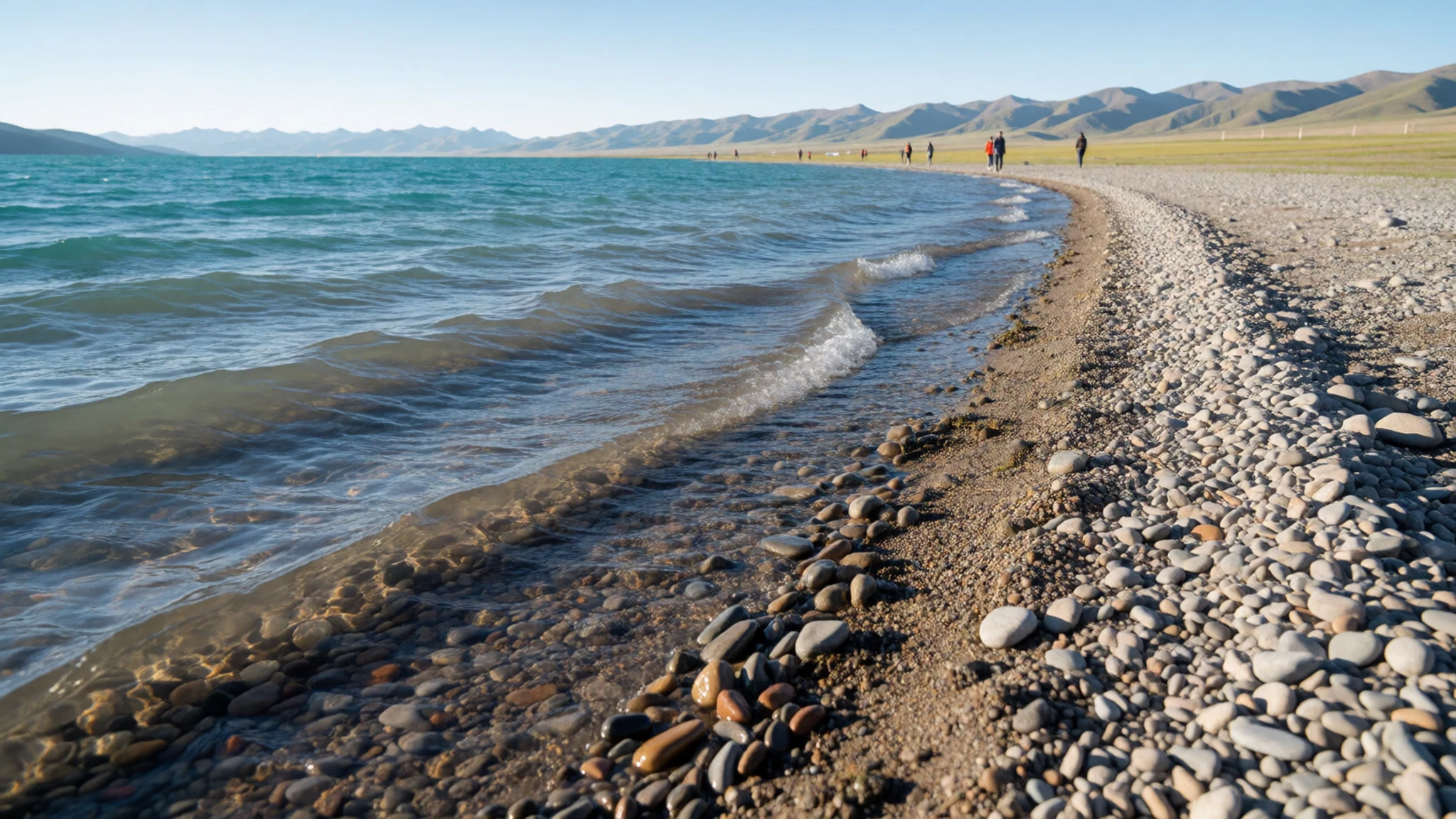
- The islands and the holy rock — north-west of the lake
The largest island lies in the north-west corner of the lake, roughly 2,100 m long and 800 m wide, rising to just over 100 m in the middle. It is about 3.1 km from the shore at its closest point, so it looks close but takes a long way round to reach. Pilgrims have long regarded the islands as a place of retreat, and the rock formations near the shore are part of that sacred geography.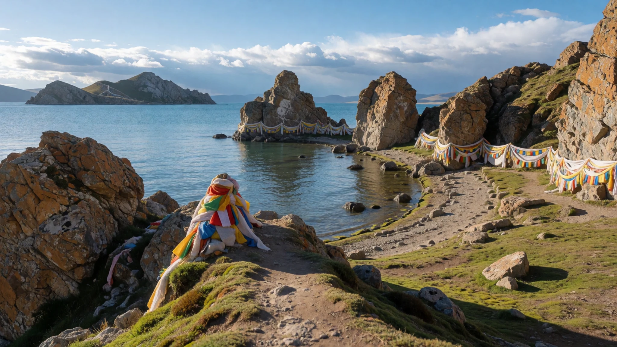
- The Nyenchen Tanglha range — southern shore
The Nyenchen Tanglha mountains run along the southern side of the lake and give Namtso its dramatic backdrop. Snow can settle on the peaks even in summer, and cloud often hangs on the ridges through the afternoon. The range also marks the edge of the high grasslands that herders have used for generations, so the views carry both scenery and daily life.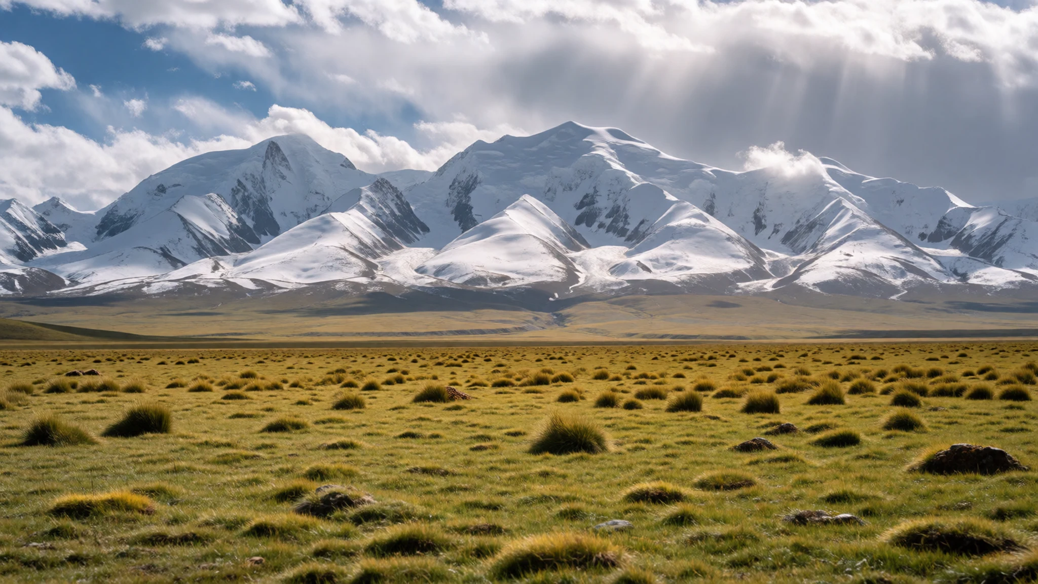
- Nomad camps on the grassland — lakeside grassland
In summer, herding families set up tents on the grassland near the lake, with yaks and sheep grazing nearby. Visitors often see these camps from the road or from the shore. Ask before photographing people or tents, and keep a respectful distance from animals, which can be unpredictable around strangers and vehicles.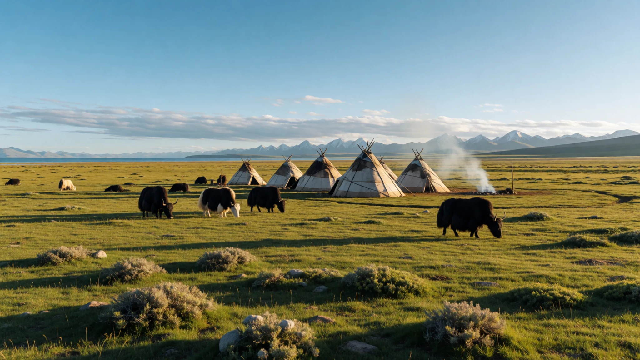
- Prayer flags at the highway stop — highway stop near the lake
A roadside stop near the lake has a row of prayer flags strung between poles, snapping in the wind. Travellers often stop here to take in the view and walk a few steps onto the grass. It is a good place for a short break, a cup of tea and a first look at the plateau before the drive back.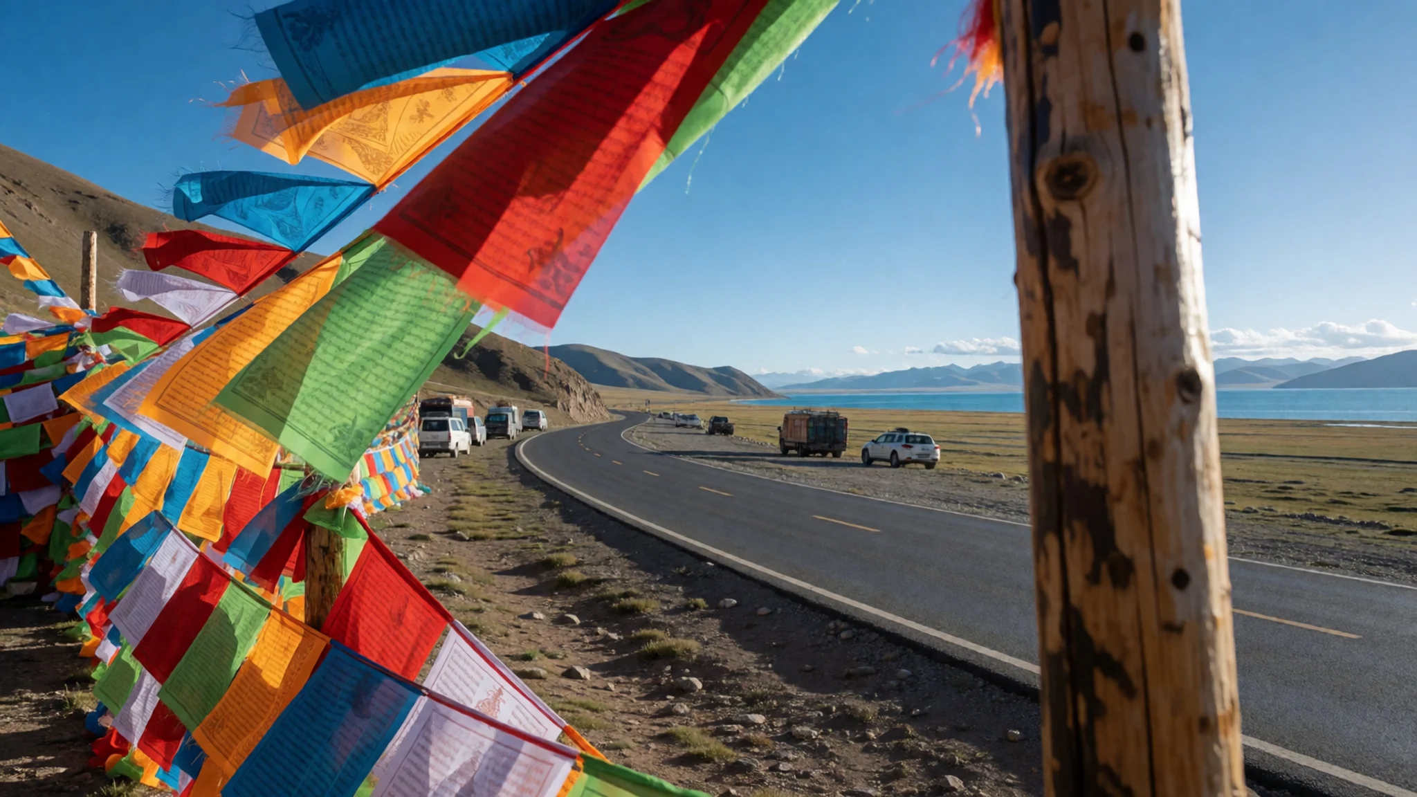
- The Jokhang and the Barkhor in Lhasa — central Lhasa
Most trips to Namtso start or end in Lhasa, where the Jokhang Temple was built in 647 AD and remains one of the holiest sites in Tibet. The Barkhor is the ring of traditional streets around it, lined with shops and stalls, and it is the best place to see daily religious practice in the city. Spend time here before or after the lake.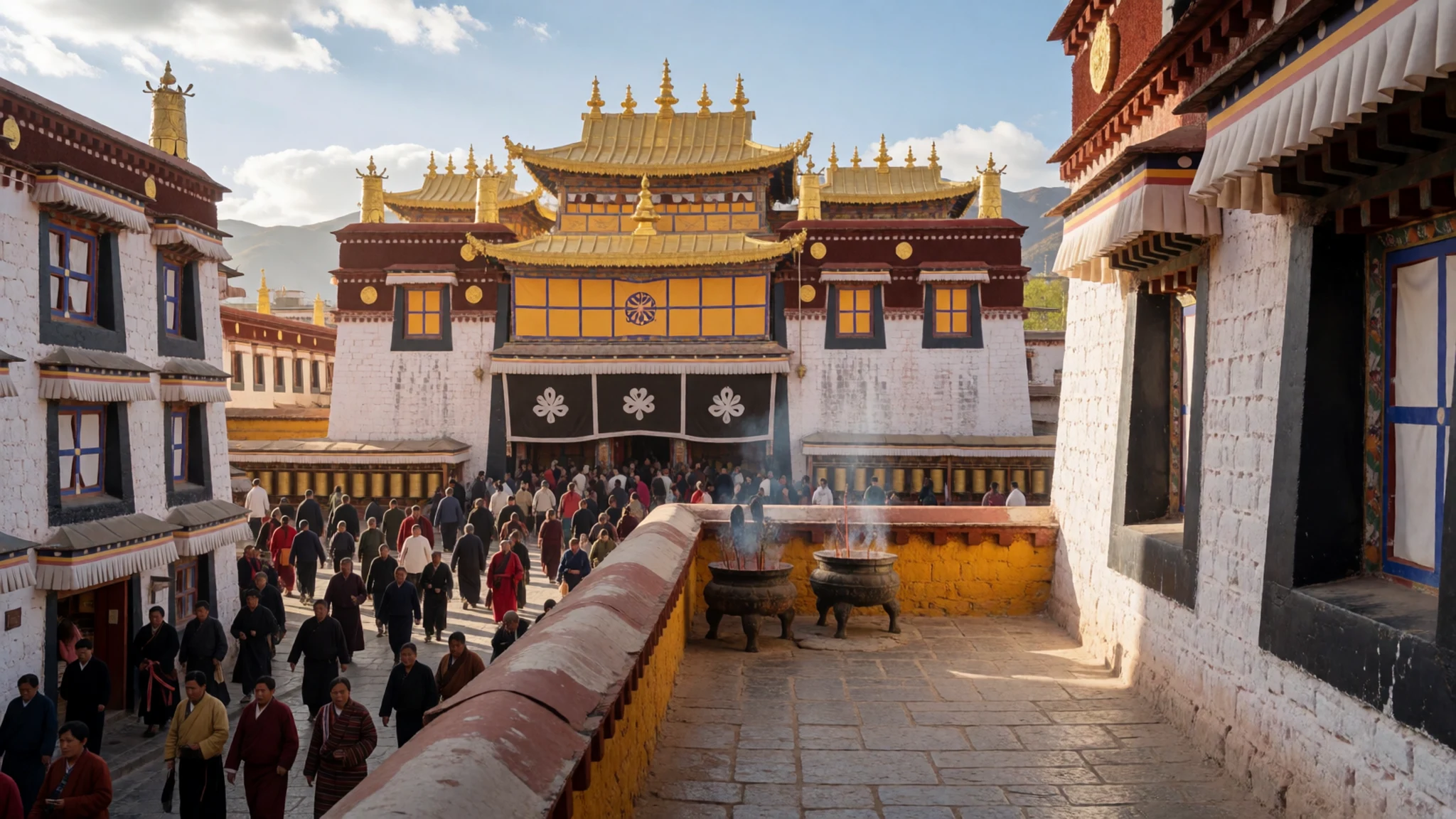
Culture
Religion matters deeply to most Tibetans, and the lake is part of that belief. The Tibetan Buddhist tradition shapes how people approach monasteries, stupas and sacred objects. Visitors are expected to walk around these sites clockwise and to avoid climbing on statues, mani stones or other sacred objects. Inside monasteries, hats come off, smoking is out of place, and frescoes should not be touched.
Politics is a sensitive subject. Visitors are advised to avoid discussing the Dalai Lama, the Chinese government or the Tibetan government-in-exile, and to keep conversations on everyday matters. Travel here is tightly managed, so checks of papers and bags are routine and can happen several times a day. Staying calm and cooperative during these checks makes the process smoother for everyone, and a guide usually handles most of the paperwork.
When speaking with Tibetans, the greeting Tashi delek is warmly received and often brings a friendly response. Avoid patting or otherwise touching anyone on the head, children included, because locals regard it as a serious insult. Lightly touching the crown is typically something only elders and senior monks receive. Photographing police, soldiers or checkpoints is prohibited. Walk clockwise around any monastery, stupa or mani wall, and ask before photographing people.
What to wear
Traditional dress around Namtso and across the Tibetan plateau centres on the chuba, a long, belted robe that is often made from wool or woven brocade. Women may wear an apron of silk or wool and layered jewellery of turquoise, coral and amber. Men wear similar robes, often with a sash and leather boots. Wool and yak-hair textiles are central to the region, from heavy cloth for clothing to the tents used by herding families. Traditional dress is most visible at festivals such as Losar, the Tibetan New Year, and in rural areas where people still wear it daily.
In towns and cities, what people actually wear is much closer to what visitors wear: jeans, trainers, padded jackets and down coats. Many people combine modern clothing with a traditional element, such as a chuba for a festival or a patterned sash over a jacket. Younger residents of Lhasa dress much like people in any Chinese city.
For a visit, dress in warm, windproof layers, since the temperature can drop quickly and snow can arrive without much warning. A sun hat, sunglasses with good UV protection and a scarf help against the strong sun and wind at 4,718 m. Choose sturdy shoes with grip for the shoreline and uneven grass. At monasteries, cover shoulders and knees, and carry a hat rather than wearing it inside.
What to eat
- Momos — tourist restaurants and street stalls in Lhasa, including the Barkhor
Momos are dumplings filled with meat or vegetables and served steamed or fried. They are one of the easier Tibetan dishes for visitors, and the filling and dipping sauce vary from place to place. Ask for chilli sauce on the side if you want heat, since it can be strong.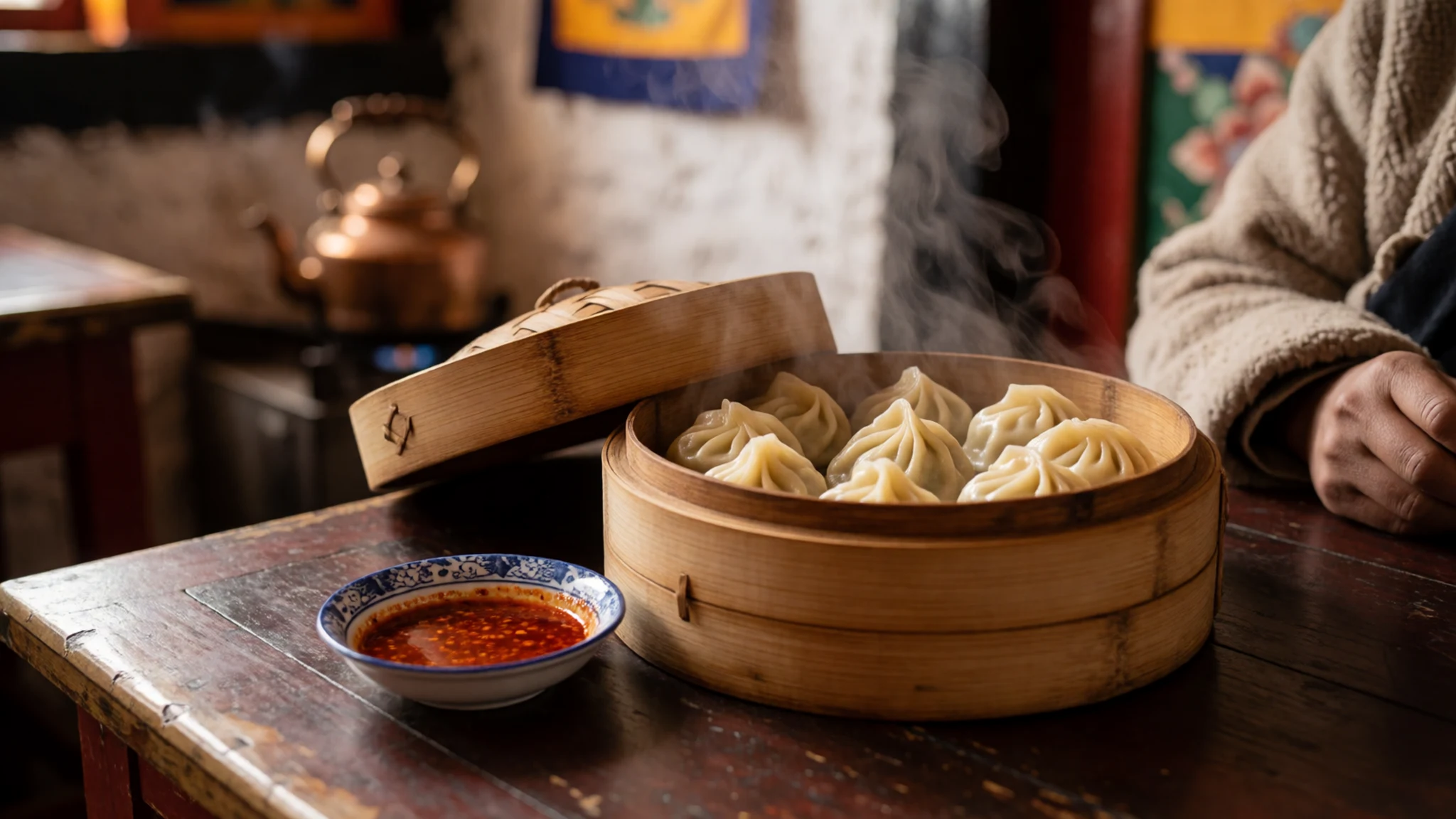
- Thukpa — roadside eateries and small restaurants on the Lhasa to Namtso road
Thukpa is a hearty noodle soup with vegetables or meat, and it is the most common dish on the road. Many small eateries serve little more than thukpa and tea, so it is a reliable choice for a warm meal after a cold morning by the lake. Add chilli sauce cautiously.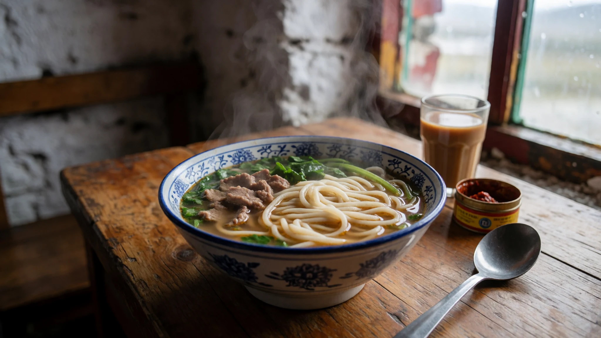
- Tingmo — tea houses and simple eateries in Damxung and Lhasa
Tingmo is a steamed bread that is mild, soft and almost plain. It works as a filling accompaniment to soup or tea and is easy to find in simple eateries. It may suit those who find stronger flavours hard going at altitude. - Yak butter tea — tea houses across Lhasa and the roadside stops
Yak butter tea is salted tea churned with butter, a staple of Tibetan life and an acquired taste for many visitors. It is served warm in tea houses and in homes, and it sits alongside a bowl of tsampa in daily meals. Try a small cup before deciding whether to order another. - Tsampa — market stalls in Lhasa and general stores along the road
Tsampa is roasted barley flour, a long-standing travel food that is also offered at temples. It is usually mixed with butter tea to form a dough or a porridge. It keeps well, which makes it a practical snack for long drives and cold days on the plateau.
Plan it
Best time. June to September is the most practical window, when days are at their warmest and nights are least bitter, though July is the wettest month of the year. Summer is also the rainy season and the high season, so flights, trains and tour places are harder to secure. May and October can work, but expect colder weather and a higher chance of snowstorms.
How long. 2–3
Getting there. Fly or take the train to Lhasa, then travel to Namtso by road, roughly 112 km (70 mi) north-north-west of the city. Independent travel to the Tibet Autonomous Region is not allowed for most visitors, so the trip must be made on an organised tour with a permit, a mandatory guide and a car, booked through an approved agency.
Budget. high
Tips
- Book a permitted tour well ahead of the summer high season
- Spend a day or two in Lhasa to acclimatise before going to the lake
- Pack warm, windproof layers and sun protection even in July
- Carry water and snacks, since services on the road are limited
- Check the weather with your guide each morning, as conditions can change within hours
Etiquette
- Ask before photographing people, tents or herders
- Do not photograph police, military or checkpoints
- Walk clockwise around monasteries, stupas and mani walls
- Do not touch people's heads, including children's
Nearby
Sources
- Wikidata Q651294 (CC0)
- Wikipedia: Namtso (rev 1380524507) (CC BY-SA 4.0)
- Wikivoyage: Tibet (rev 5394996) (CC BY-SA 4.0)
- Photo: View on the lake Namtso and the holy rock (Peter Vigier) (CC BY 3.0)
- Photo: NH-46-5 Nam Tso China (Defense Mapping Agency) (Public domain)
- Photo: Nomads near Namtso (unknown author) (CC BY 3.0)
- Photo: Nyenchen Tanglha mountain range rising behind Nam-Tso (McKay Savage) (CC BY 2.5)
- Photo: Namtso, in Tibet, as seen from space (NASA) (Public domain)
- Photo: Nam Tso, Damxung County, Tibet (Reurinkjan) (CC BY 2.5)
- Photo: Lake Nam (Namtso) seen from the Laken Pass (Mario Biondi writer) (CC BY-SA 4.0)
- Photo: Prayer Flags at Nam Tso Highway Stop (preston.rhea) (CC BY-SA 2.0)


