Lake Nakuru
Lake Nakuru, Kenya
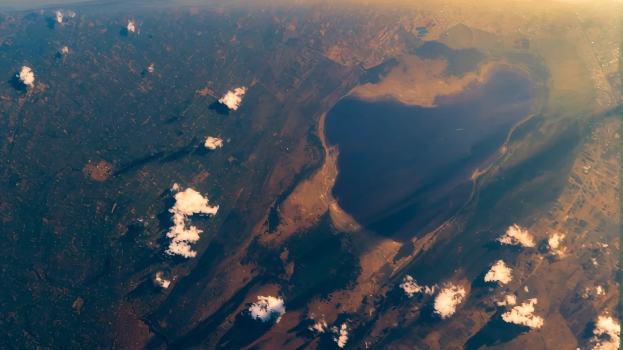
A shallow soda lake in the Rift Valley, famous for its flamingos and easy to reach as a day trip from Nairobi.
The place
Lake Nakuru sits in the floor of the Rift Valley in central Kenya, about 140 km northwest of Nairobi, at an elevation of 1758 m. It is a soda lake, shallow and alkaline, and its colour shifts with the light and with the algae that bloom in it. The lake is the centre of Lake Nakuru National Park, which wraps around its shore in a ring of wooded grassland and bush. That mix of open water, grass and scrub is what draws the park's wildlife, from large mammals to a long list of birds.
The lake belongs to a family of Rift Valley lakes. Nakuru, Elementaita and Bogoria were once part of a single large body of fresh water that dried out over time, leaving three smaller and saltier lakes behind. Together they are recognised as a World Heritage Site, and Lake Nakuru is also protected as a wetland of international importance.
Nakuru itself is a busy market town, and the park gate is only a short drive from its centre, so the reserve is easy to reach in a day. Most visitors come for the flamingos, which gather in great numbers along the shallows, but the birdlife is wider than that, with pelicans, storks and many smaller species keeping the shoreline busy. The landscape offers more than one kind of view. Cliffs, hills and small waterfalls rise above the lake, giving a choice between close-up wildlife and wide panoramas.
Its story
The story of Lake Nakuru is a story of water that will not stay still. Over long stretches of geological time the lake was part of a larger, deeper body of fresh water in the valley. As that water drained away, the basin was left with a few remnants, and Nakuru became a shallow soda lake, rich in minerals that favour the tiny algae and microbes on which flamingos feed.
Its level has never been steady. Over several decades the lake has come close to drying out more than once, and a sharp fall in the last decades of the twentieth century was followed by sudden rises. Each rise changes the shore. When water climbs quickly, the birds move: in one high-water phase many flamingos left Nakuru for Lake Bogoria, where food was more available at the time.
In recent years the rise has become more dramatic. The lake has spread far beyond its earlier edges, flooding homes in Nakuru town and parts of the national park. Animals were pushed out of their usual ground, and the park's main entrance gate and other infrastructure were submerged. Researchers link the trend to changes in moisture carried by Indian Ocean winds, as well as to climate change, rather than to local rain alone.
For the park, the pattern is a practical problem as much as a scientific one. Roads, gates and picnic spots that worked for decades may need moving, and the balance between grassland, shoreline and open water keeps shifting. The lake is a reminder that the wildlife experience depends on a landscape that is itself on the move.
What to see
- Baboon Cliff — Lake Nakuru National Park, viewpoint hills
A lookout on the park's high ground, with a view over much of the lake and the grassland around it. It is one of the established viewpoints where vehicles can stop, visitors can step out and picnic tables are provided. Mornings give the clearest light and calmer water for photographs.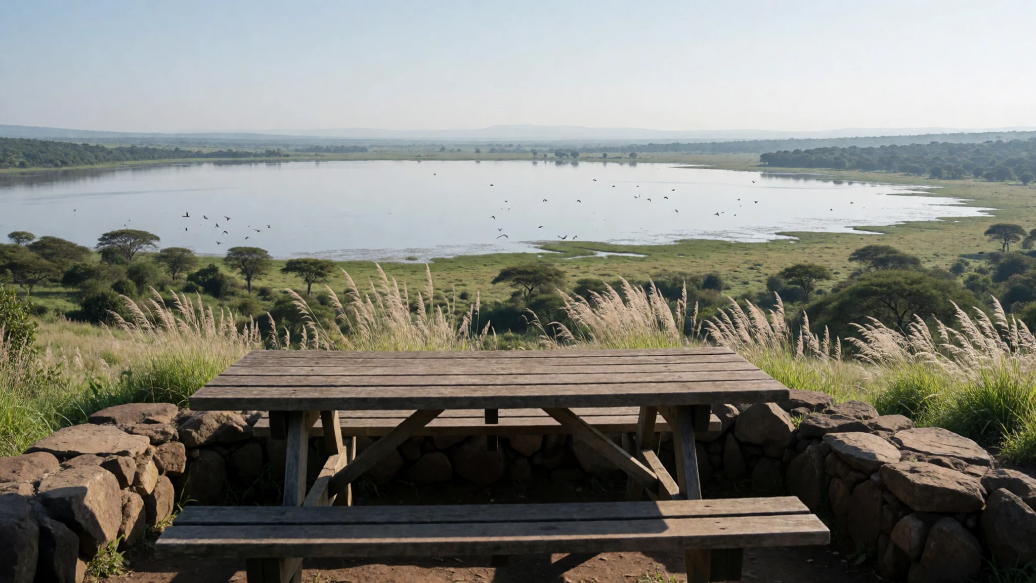
- Lion Hill — Lake Nakuru National Park, viewpoint hills
Another established viewpoint, with parking and picnic tables, offering a wide sweep over the lake and the bush beyond. The climb is short by safari standards, and the spot works well as a midday stop between game drives, when the animals are often resting in the shade.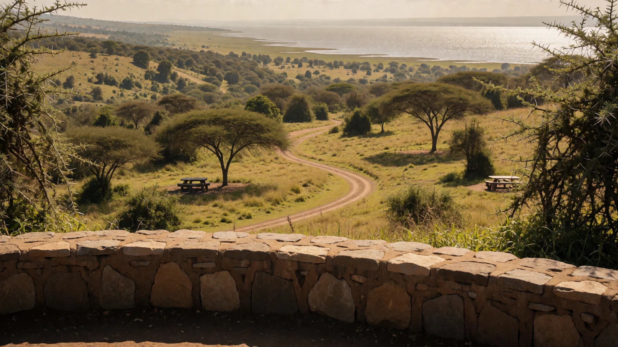
- Makalia Falls — Lake Nakuru National Park, waterfall trail
A small waterfall reached by a short walk from a parking spot at the start of the trail. The falls are modest in size, so the walk is more about a change of scenery than a dramatic cascade. It offers a break from the open road and a chance to stretch legs on a shaded path.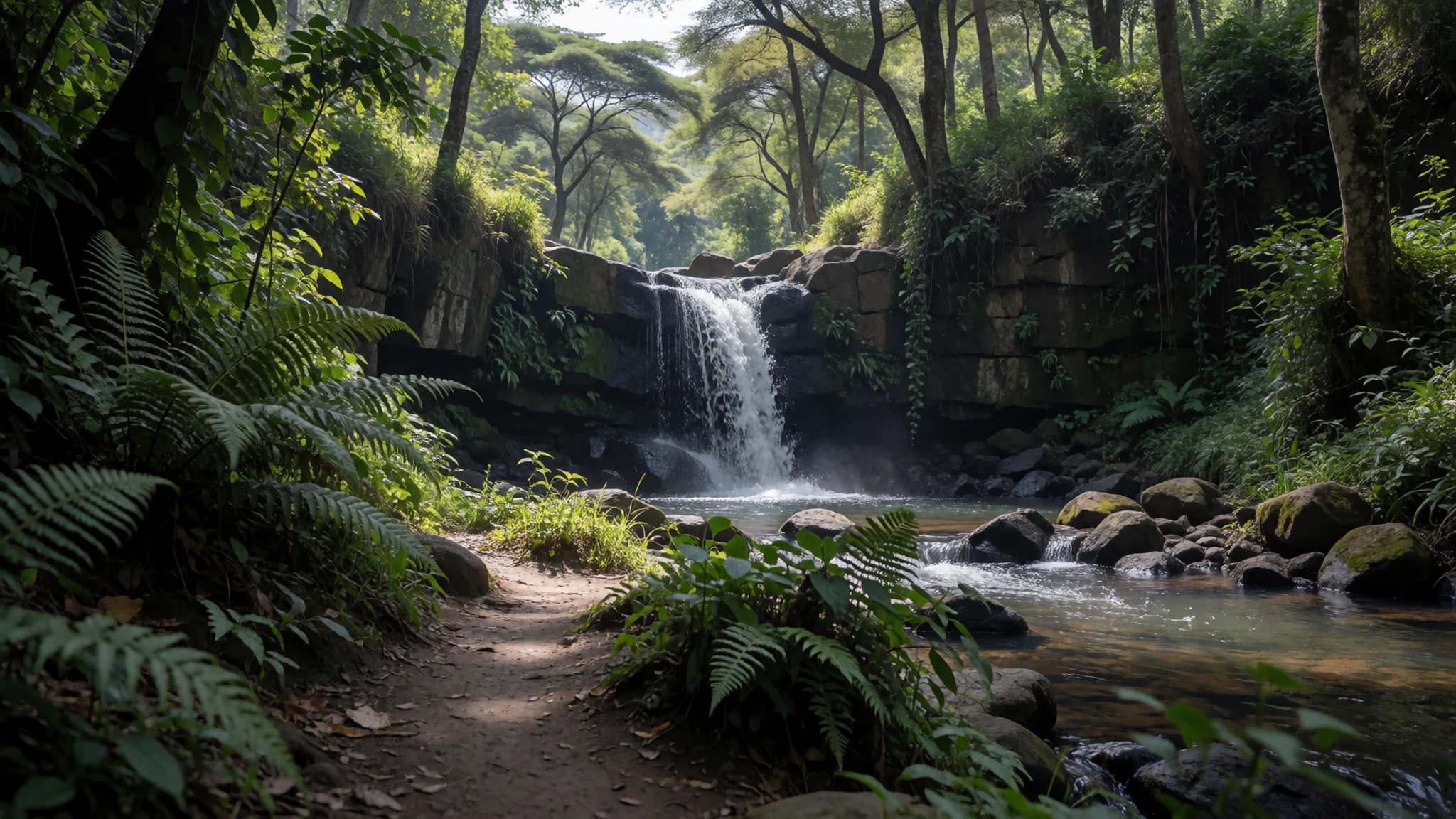
- The lake shore flamingo margins — Shoreline tracks along the lake
The shallow edges of the lake, where the water is most alkaline, are where flamingos gather in dense pink lines. Viewing is best from designated roads and lakeside tracks, keeping a respectful distance so the birds are not disturbed. Binoculars reveal more here than a long lens does.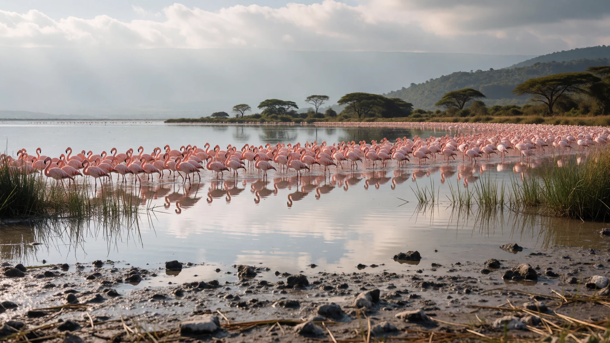
Culture
Lake Nakuru is a wildlife reserve first and a place of local life second, and most of its etiquette grows from that. Kenyans take a warm, unhurried approach to greeting: a handshake and a short exchange of pleasantries are expected before business, and rangers and lodge staff appreciate visitors who slow down to match that rhythm. Inside the park, the rules are set by the Kenya Wildlife Service and are firmly enforced. Drivers must keep to designated roads, and leaving the vehicle is restricted to official stops, so the view from the car is often the best one. Many visitors come with families or friends who have never seen a safari, and the mood is usually one of shared wonder rather than competition for the perfect photograph. Tipping rangers and drivers is customary and appreciated. Stay inside your vehicle, keep voices low and never feed or chase the wildlife.
What to wear
The traditional dress most associated with this part of Kenya is the Maasai shuka, a wrapped cloth usually in red or checked patterns, often worn with beaded jewellery in bold colours. The beadwork is made from glass beads threaded into collars, earrings and belts, and each colour carries meaning within Maasai culture. Other communities across the region have long worn cotton cloth and wraps, and kitenge, a brightly printed cotton fabric, is used across Kenya for everyday clothing and celebrations alike.
What people wear now is much the same as in any Kenyan town: jeans, trousers, shirts and dresses in cotton, with kitenge tailoring for church, weddings and public events. Maasai men and women living near the park often combine the shuka or beadwork with modern clothing, so a red cloth may sit over a plain T-shirt. Football shirts and sports gear are common among younger people.
For a visitor, the priorities are practical. Neutral colours such as khaki, olive, beige and grey suit the bush and hide the dust, while bright whites show dirt quickly. Cold early drives call for a warm layer, a wide-brimmed hat and sunscreen matter in strong sun, and closed walking shoes are wise for the short trails to the falls. Dress modestly when visiting towns, and carry a light shawl or long top for churches and village stops.
What to eat
- Nyama choma — Roadside grills and open-air eateries in Nakuru town
Roasted meat, usually goat or beef, grilled over charcoal and served with kachumbari, a fresh tomato and onion salsa. It is the classic social meal of Kenya and is often eaten with the hands, slowly, with friends. Ask for a portion to share.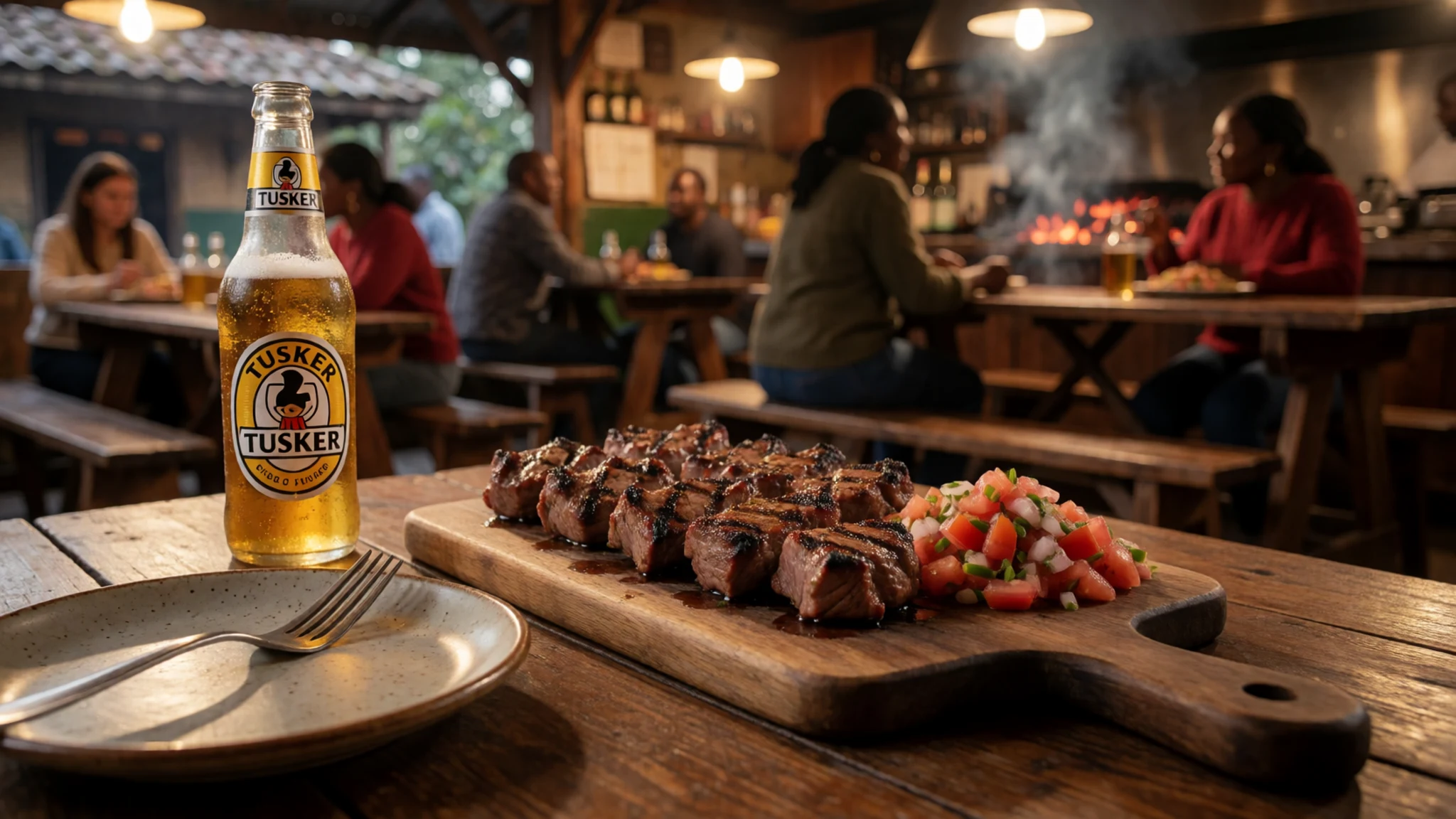
- Ugali with sukuma wiki — Local canteens and family-run eateries in town
Ugali is a firm maize porridge, shaped by hand, and sukuma wiki is a braised green, similar to collard greens, cooked with onion and tomato. Together they make a filling, inexpensive meal and a good counterpoint to a day of game driving.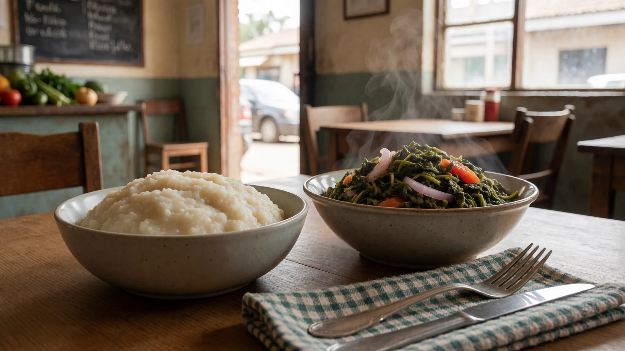
- Samosas and mandazi — The morning market and street stalls near the town centre
Savoury samosas filled with spiced potato or meat, and mandazi, lightly sweet fried dough, are ideal for a snack or early breakfast. Both are sold fresh from trays and are easy to carry into the park for a picnic. - Tusker and chai — Lodge poolside bars and town cafés
Tusker is the Kenyan lager most often poured at lodge poolside bars, and a cold one after a dusty drive is a common reward. Milky chai, sweetened and spiced, is the everyday hot drink in town cafés and on roadside stops.
Plan it
Best time. The drier months, roughly June to September and January to February, tend to bring animals to the water and make tracks easier to drive. The rains turn the grass green and the shoreline lush, but some roads and hill tracks can become muddy. Check the seasonal forecast before you travel.
How long. 2–3
Getting there. Fly into Jomo Kenyatta International Airport in Nairobi, then drive about 140 km northwest on the Nairobi–Nakuru highway, with a scenic stop on the Rift Valley escarpment on the way. A short scenic flight to the Naishi airstrip inside the park is also possible.
Budget. mid
Tips
- Arrive early in the morning, since the park opens at 7AM and the gate and vehicle checks take a few minutes
- Most viewpoint hills need a four-wheel-drive vehicle, while the main roads suit ordinary two-wheel-drive cars
- Pack all food and drink for a day trip, because eating in the park is largely limited to lodges
- Carry cash in Kenyan shillings for small purchases and tips, and check the Kenya Wildlife Service site for current entry rules
- Bring water, sun protection and binoculars, as the lake area gets hot by mid-morning
Etiquette
- Stay on designated roads and keep to the vehicle except at official stops
- Do not feed the animals or drop litter, and take all rubbish away with you
- Keep noise low and give other vehicles room to watch wildlife
Nearby
Sources
- Wikidata Q849508 (CC0)
- Wikipedia: Lake Nakuru (rev 1381870548) (CC BY-SA 4.0)
- Wikivoyage: Lake Nakuru (rev 5408077) (CC BY-SA 4.0)
- Overview of Lake Nakuru, Jasper1976 (CC BY 3.0)
- Lake Nakuru Baboon Hill View, Bjørn Christian Tørrissen (CC BY 3.0)
- Lake Nakuru National Park-Kenya, Queen Asali (CC BY-SA 4.0)
- Lake Nakuru National Park Entrance, Bjørn Christian Tørrissen (CC BY 3.0)
- Flamingos at Lake Nakuru, Brocken Inaglory (CC BY-SA 2.5)
- Lake Nakuru Panoramic, Brian Rutere (Public domain)
- Large number of flamingos at Lake Nakuru, Syllabub (CC BY-SA 1.0)
- African Hoopoe, Lake Nakuru, Lip Kee Yap (CC BY-SA 2.0)


