Lake Malawi
Lake Malawi, Malawi
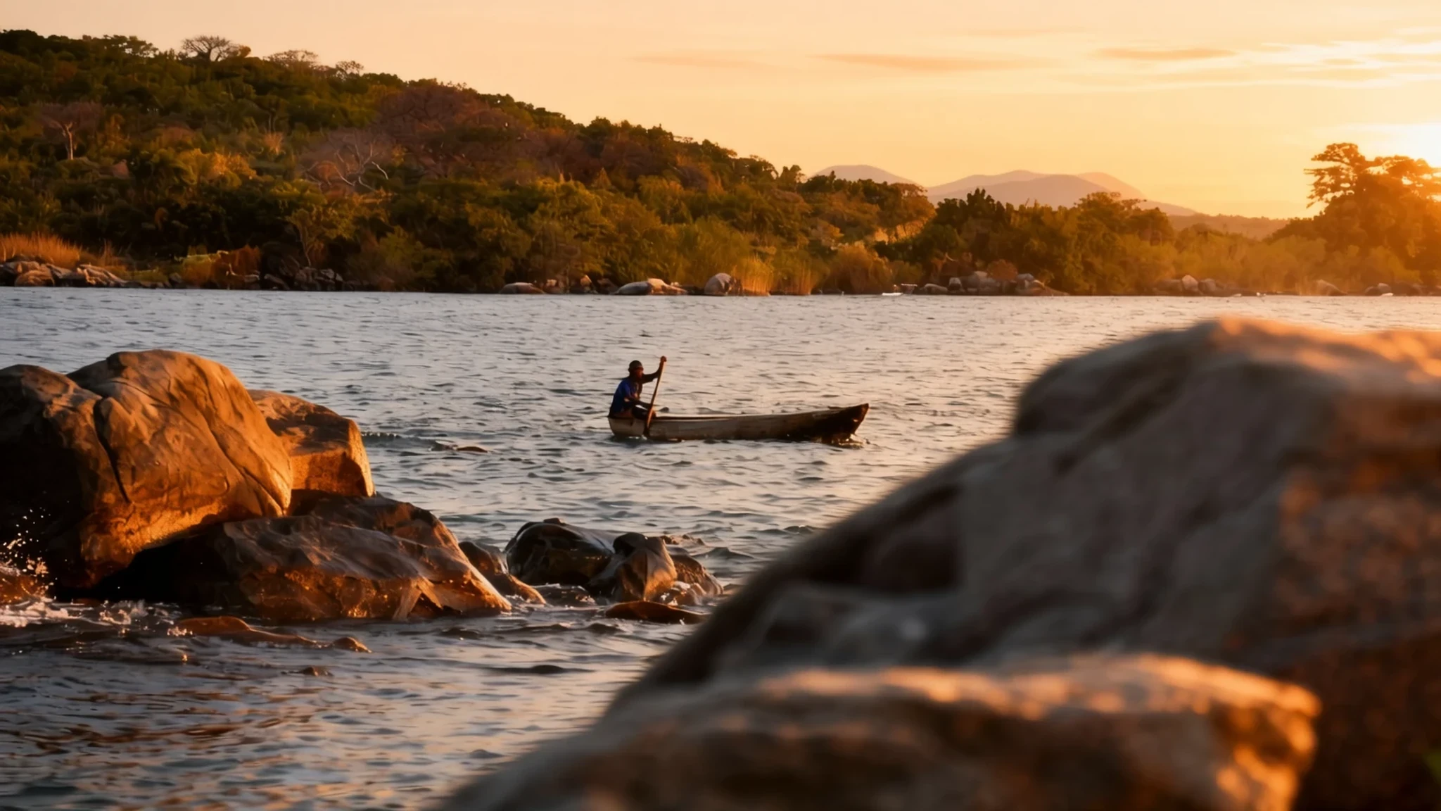
Lake Malawi is a long freshwater lake whose clear shallows, fish-rich waters and quiet shoreline villages make it a good place to slow down.
The place
Lake Malawi fills a long trough of the East African Rift, running south from the highlands of northern Malawi. Its shores belong to three countries: Malawi along the east, Mozambique along the west and far south, and Tanzania at the northern end. Malawi itself is a country of varied scenery, from plateaux and forested highlands to escarpments and river valleys, and the lake dominates the country's centre and south.
The lake is freshwater and very deep in places, with its deepest point in a broad depression in the north-central part. Its water stays layered rather than mixing fully, so the deep water carries very little oxygen and this has shaped the life inside it. Scientists count more fish species here than in any other lake in the world, and a large share of them are cichlids. The southern half is much shallower and easier to reach by boat from the lakeshore towns.
For visitors the lake means beaches, sheltered bays, snorkelling, swimming and slow mornings in villages where fishing canoes head out before dawn. The settlements are small. Nkhata Bay on the northern shore is a common stop, while Cape Maclear in the south serves as a base for trips to nearby islands. Inland, the Shire River leaves the lake's southern end and flows on to the Zambezi, linking this basin to a much larger river system.
The water is the main reason to come, and the rest of the country is the reason to stay a while longer.
Its story
The lake carries several names in several languages. In Malawi it is Lake Malawi, in Tanzania Lake Nyasa, in Mozambique Lago Niassa, and in Swahili Ziwa Nyasa. Each name reflects a country's claim to its share of the water, and the naming has never been entirely tidy.
The question of where the borders run is still open. Malawi claims all the water not held by Mozambique, including the water along the Tanzanian shore, while Tanzania has long argued for a line running through the middle of the lake. Maps of the region show both versions side by side, one with a dashed line for the border Malawi holds and one with a dotted line for the Tanzanian claim. Day-to-day life on the shore rarely feels the dispute, though it remains part of the lake's political history.
What has shaped the lake's story more than any boundary is its fish. The rift walls and deep, layered water have allowed a huge range of species to develop in relative isolation. Fishing families in the villages still set out in wooden canoes at dawn, and the small fish they catch, often dried, feed communities far from the water. Conservation has become part of the story too. Parts of the shoreline lie inside Lake Malawi National Park, and Mozambique declared its own stretch of the lake a reserve in 2011.
The lake's history is a mix of mapping, fishing and protection rather than a single dramatic event. Its name and borders matter, but the water itself keeps the story going.
What to see
- Cape Maclear — Southern shore, near the Lake Malawi National Park area
Cape Maclear sits on the southern shore and is the most common base for exploring the lake's clear water. Boats run out to nearby islands, and the rocky coves are good for snorkelling among the colourful cichlids. Villages along the beach are small and relaxed, and fish eagles often perch over the water near the jetties. Mornings are calmer than afternoons, when the wind tends to pick up.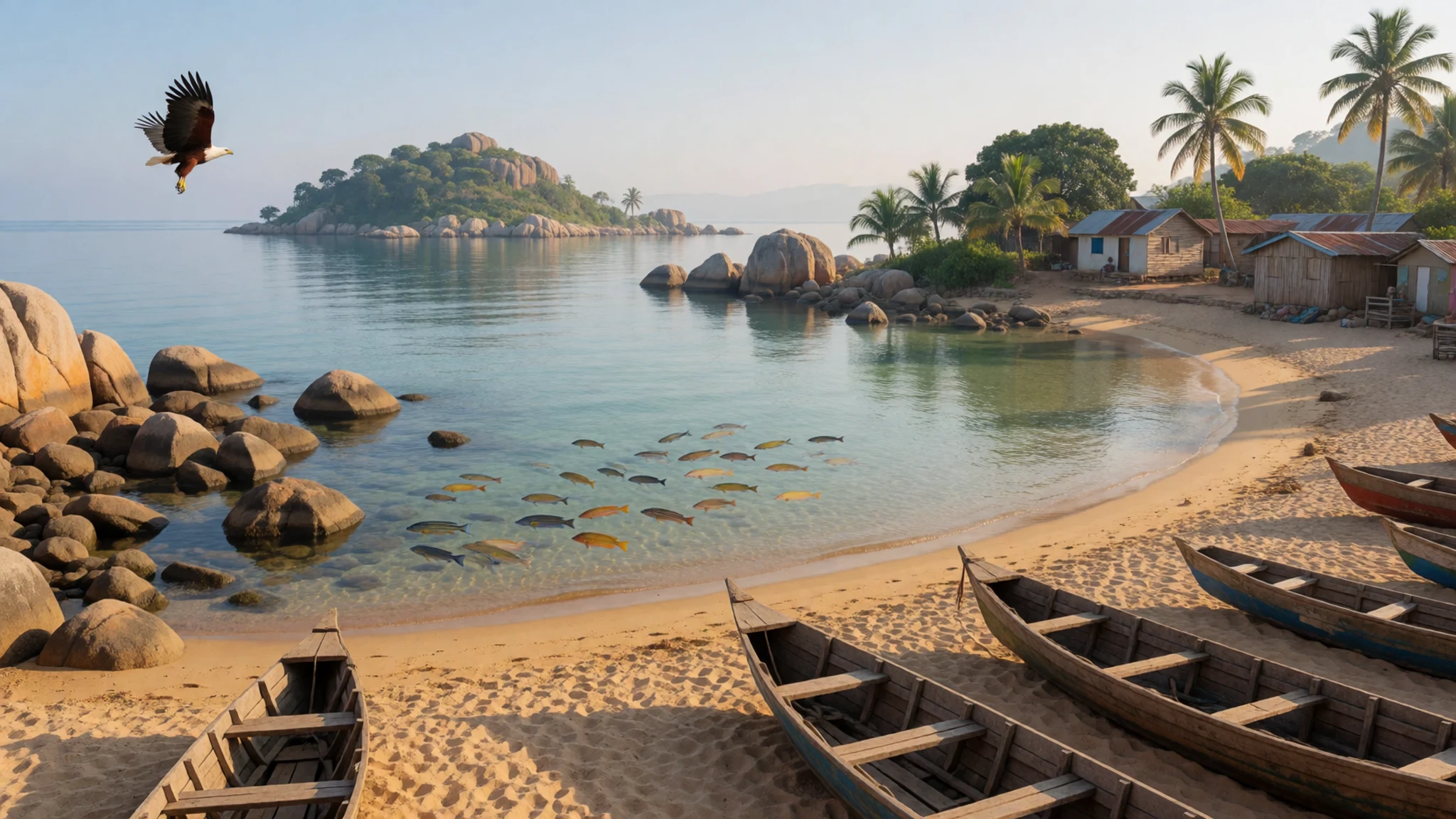
- Nkhata Bay — Northern shore, Nkhata Bay district
Nkhata Bay is a lakeside town on the northern shore, with a small jetty where canoes come and go. It is quieter than the bigger towns, and the surrounding hills give good views over the water. Visitors often come here to swim, rest and take short boat trips along the coast. Facilities are simple, so bring cash and anything you might need from town.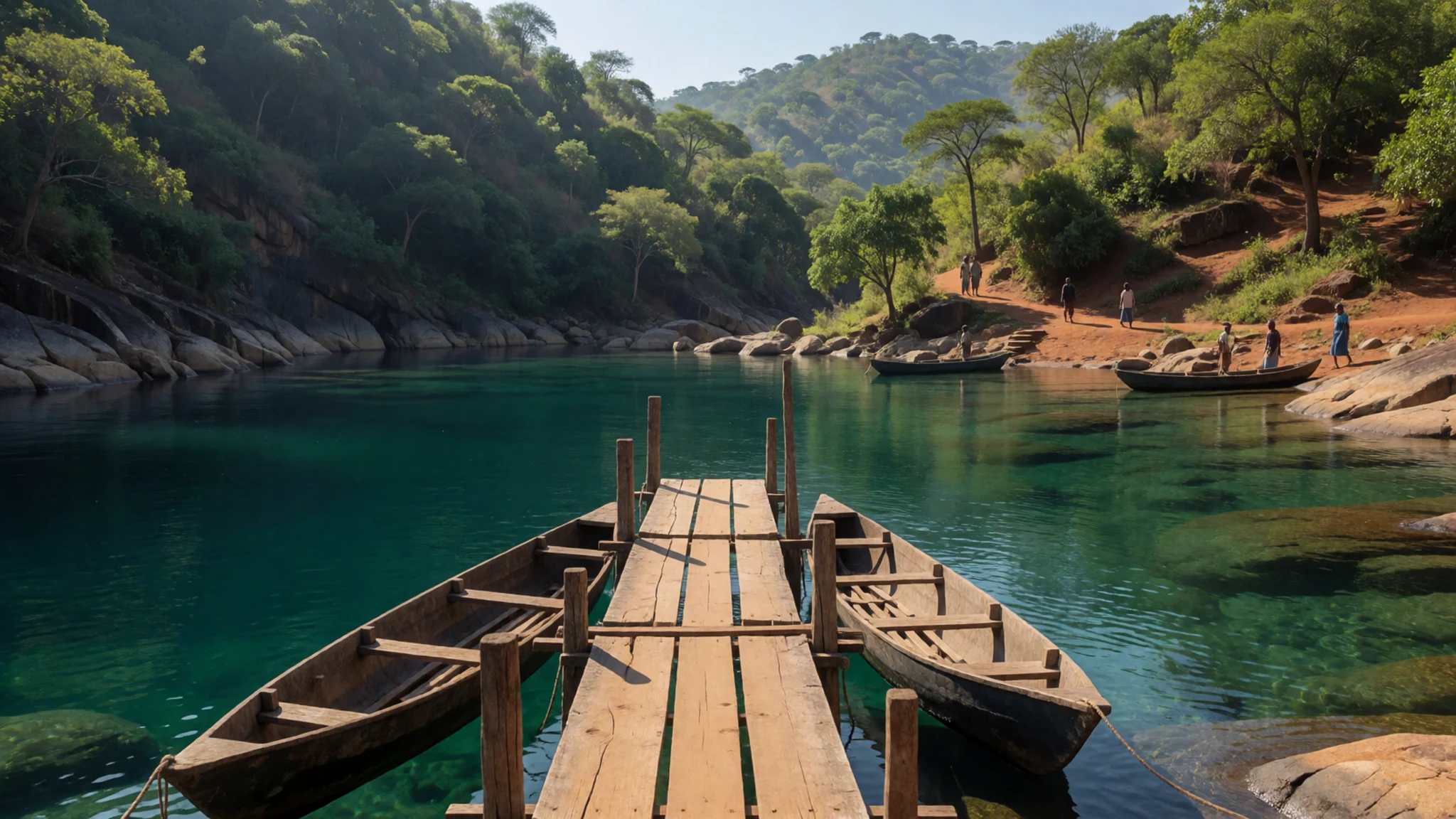
- Lake Malawi National Park — Southern lake, around the Monkey Bay area
The national park protects a part of the southern lake and its shoreline, including rocky hills and woodland that meet the water. It is one of the places where the lake's fish diversity can be appreciated closely, especially by snorkelling or going out on a guided boat trip. Access depends on boats and local guides, so plan the visit ahead and ask about the current arrangements before setting out.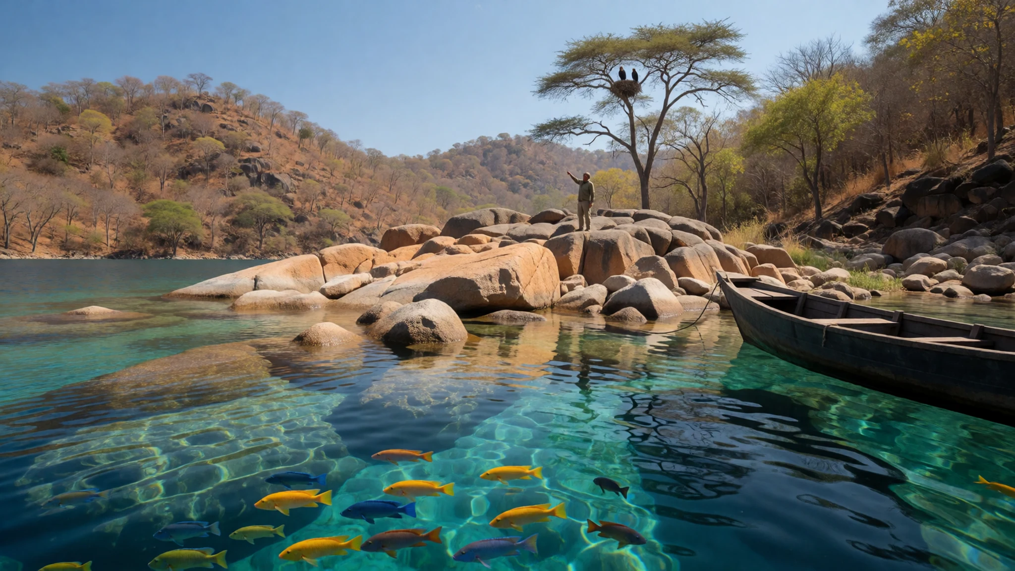
- Nkhotakota Wildlife Reserve — Central lakeshore, western escarpment near Nkhotakota
Nkhotakota Wildlife Reserve lies on the escarpment above the western side of the lake, where the land climbs from the lake floor towards the plateau. It is a rugged, lightly visited area of wilderness rather than a polished safari park. Tracks can be rough, so a four-wheel-drive vehicle and a local guide are sensible. Plan for heat in the middle of the day and carry plenty of water.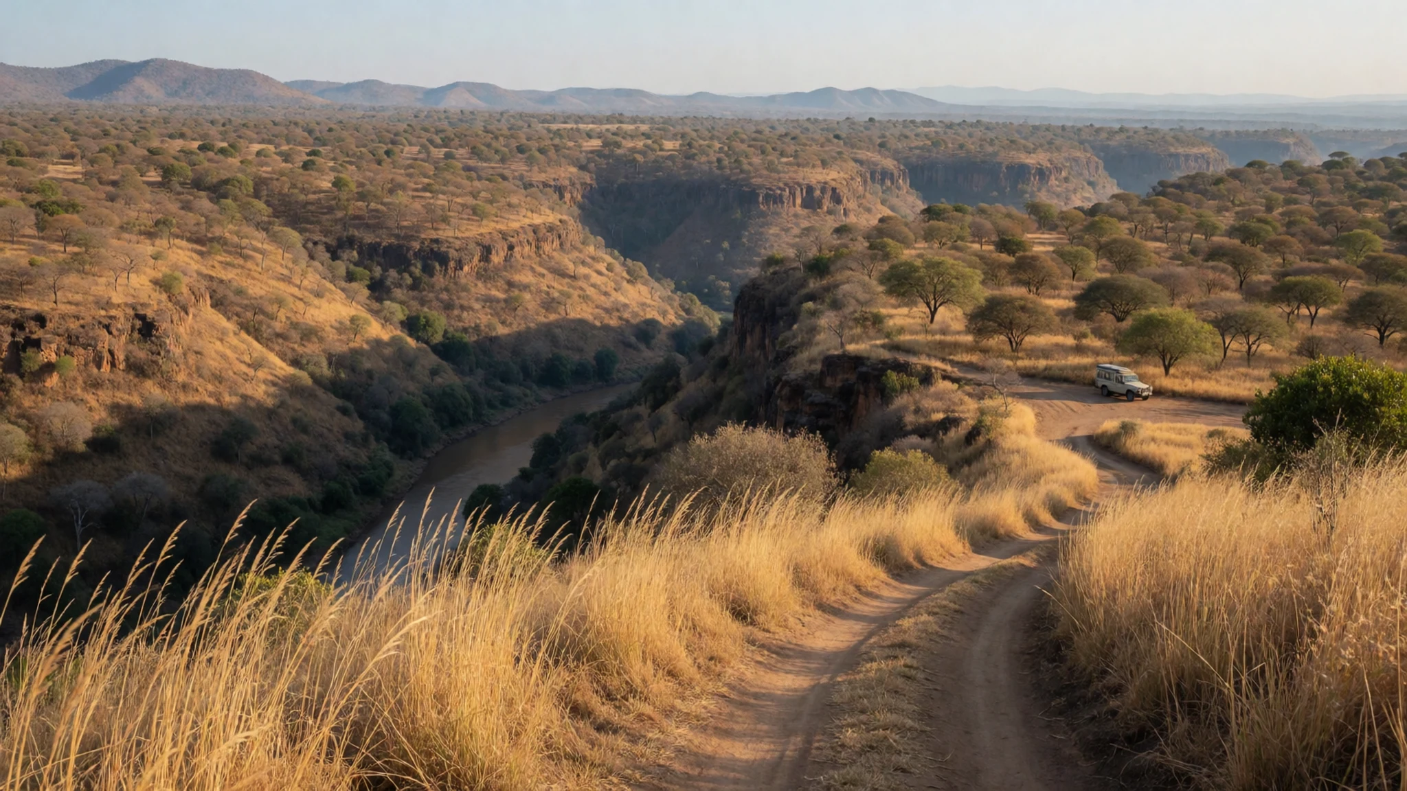
- Elephant Marsh — Lower Shire Valley, southern Malawi
Elephant Marsh is a wetland in the flat Lower Shire Valley, south of the lake, where the Shire River spreads across low ground. It is one of the important wetlands in this part of the Rift Valley and suits a day trip for birdwatching. Local guides and boats are needed to get the most from the visit. Go in the cooler hours, because the valley floor gets very hot.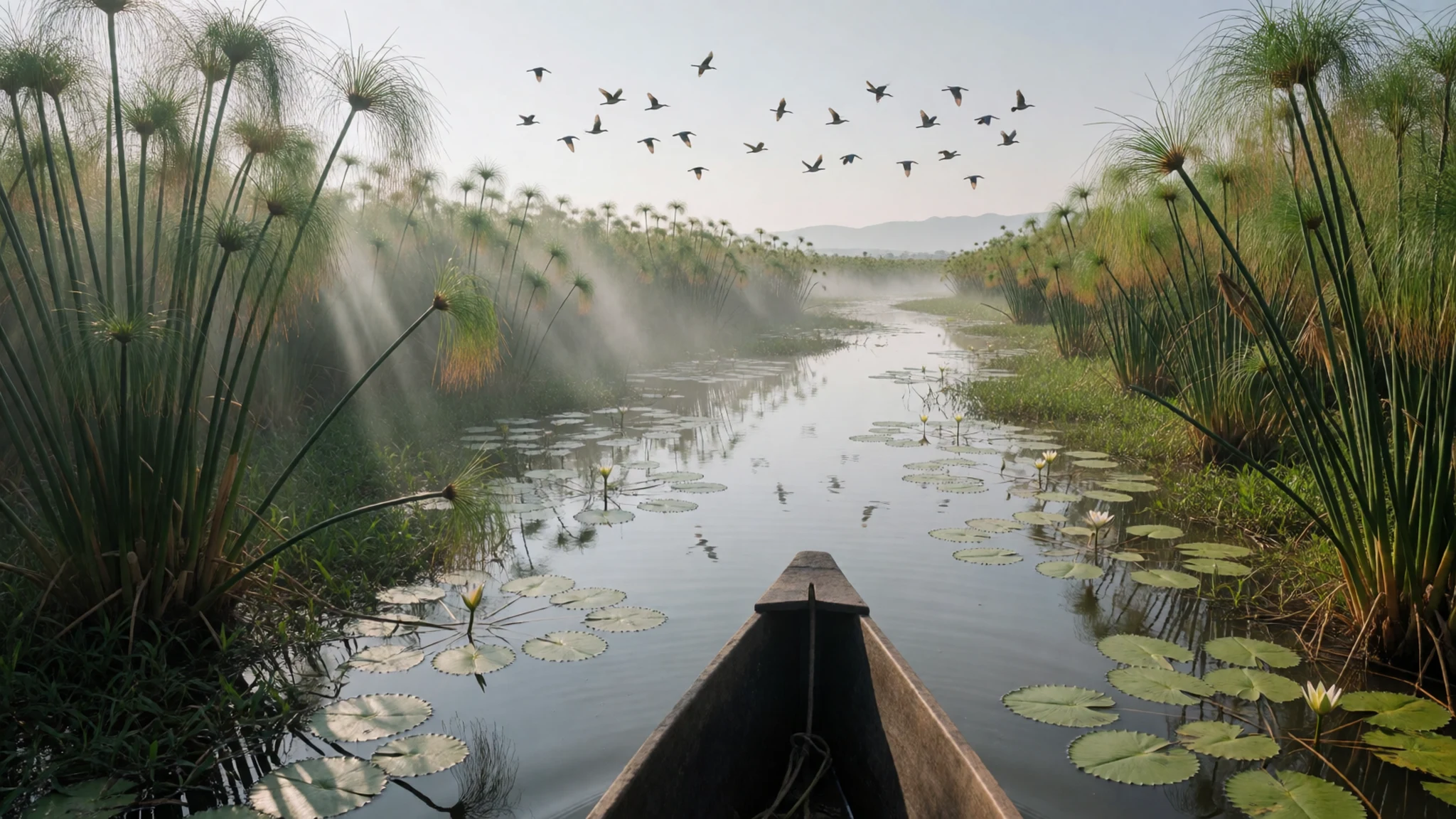
Culture
Malawi's communities have both patriarchal and matriarchal traditions, and the balance varies by ethnicity and place. In the cities men tend to be more visibly deferred to, while in some rural villages women hold more authority within family and community life. Malawians are known for courtesy and hospitality, and many people will invite a visitor to eat or talk before anything else. Shaking hands, speaking softly and using respectful forms of address are part of everyday manners. Visitors from outside Africa, especially in remote villages where few foreigners pass through, can attract a lot of attention. Children may shout "mzungu" as you walk past, and adults may stare or ask many questions, even about ordinary objects such as a pen. This is usually friendly curiosity rather than rudeness, so answer patiently and greet people before you ask them anything. Always ask before photographing people, especially children and women in villages.
What to wear
Traditional dress around the lake centres on the chitenje, a printed cotton cloth sold by the metre and wrapped around the body as a skirt, dress or head covering. Women often tie a second chitenje at the shoulder or waist, and the bold patterns carry proverbs, names or messages that people recognise immediately. Men traditionally wore simpler cloth, and many older people still do on ceremonial occasions. Chitenje are worn for weddings, funerals, church and market days, and they are sold in markets across the country.
What people wear now is mostly Western-style clothing in towns, with jeans, shirts and dresses alongside chitenje. In villages, longer skirts and modest tops are the norm, and the chitenje remains everyday wear for many women. Schoolchildren wear uniforms, and church clothing is typically smart and covered.
For a visit, choose lightweight cotton or linen that covers the shoulders and knees, especially when walking through villages, churches or mosques. Swimwear is fine on the beach but a cover-up is polite for walks into town. Bring a hat, sunglasses and sturdy sandals or closed shoes for sandy paths and rocky shorelines. A light layer helps on cool evenings, particularly in the dry months.
What to eat
- Nsima with relish — Local eateries and food stalls in towns and villages
Nsima is the staple of almost every meal, a thick maize porridge shaped into balls with the right hand and dipped into a stew. The relish might be beans, pumpkin leaves, small dried fish or meat when money allows. Local eateries serve it cheaply at lunchtime, and it is filling without being heavy. Eat it with your right hand, as locals do.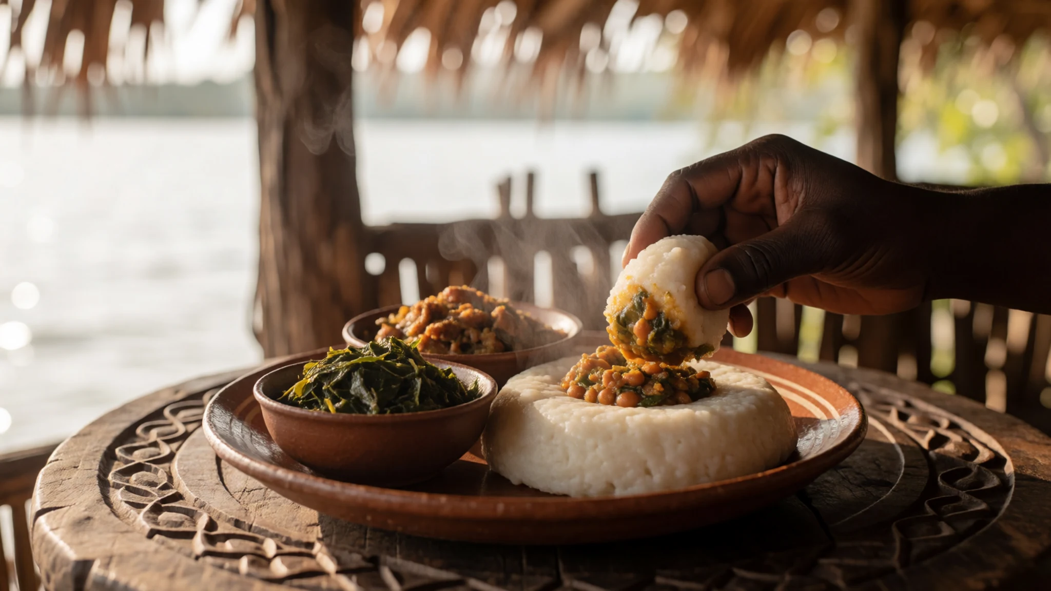
- Usipa — Morning markets near the lake
Usipa are tiny dried fish from the lake, often fried or stewed with tomato and onion. They are eaten whole, bones and all, and are a sharp contrast to the mild maize porridge. Look for them at the morning market near the lake and at waterside stalls where fishing families sell their catch.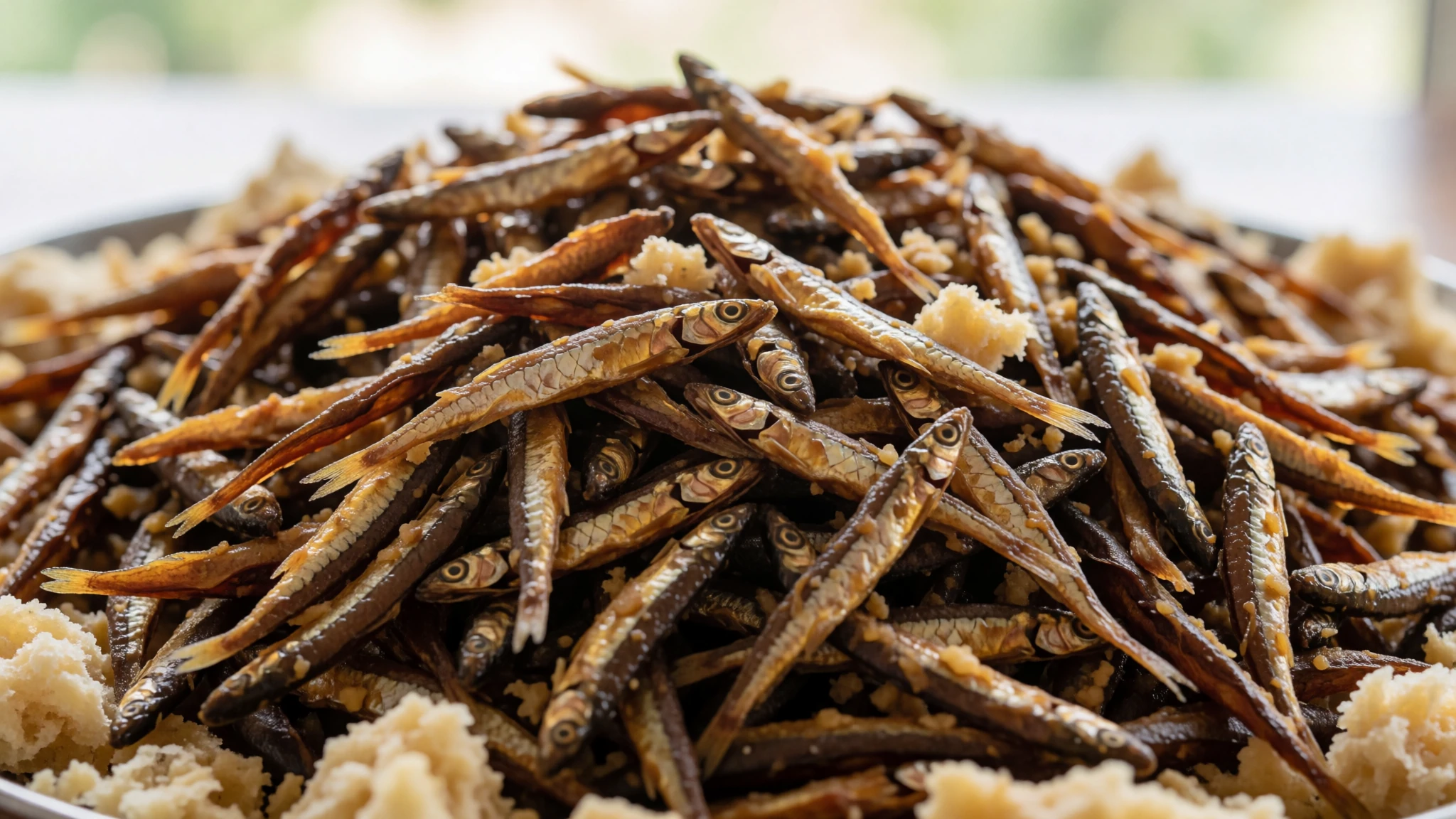
- Chibwabwa — Village eateries and home-style cooking stalls
Chibwabwa are pumpkin leaves, cooked down with onion and oil until soft and slightly bitter. This dish is a daily staple for families who cannot afford meat, and it appears alongside nsima almost everywhere. It is a good way to taste everyday Malawian cooking, and most small eateries in the villages will have it. - Sima porridge — Roadside stalls and guesthouse breakfast tables
Breakfast is often a thinner, watered-down version of maize porridge, sometimes lightly sweetened. It is warm, mild and easy on the stomach, a good start before a morning boat trip. Early risers will find it at roadside stalls and small guesthouse kitchens. - Grilled lake fish — Beach stalls and charcoal grills along the shoreline
Fresh fish from the lake is grilled over charcoal and served with nsima, chips or a simple salad. It is cooked whole or in fillets and is best eaten soon after landing. Prices vary by town, so ask before ordering. Shoreline villages and beach stalls are the places to try it.
Plan it
Best time. May to October is the dry season, with cooler, clearer weather and calm mornings on the water. November to March is the rainy season, when the lake can be greener and roads harder to travel. The hottest months are around October and November, so pack for heat before the rains arrive.
How long. 4–6
Getting there. Fly into Lilongwe's Kamuzu International Airport, then travel by road or bus to the lakeshore. Road journeys to the lake can take many hours, so check transport before setting out. Domestic flights to the north and south are possible but limited.
Budget. low
Tips
- Book transport and lodging early for the dry season, when the lakeshore fills up
- Start boat trips early, when the water is calmer and the light is better
- Carry cash in small towns, because card payments are not reliable outside cities
- Drink bottled or treated water and carry a filter
- Avoid walking alone at night, especially in cities and on main tourist routes
- Keep valuables out of sight on crowded roads and in bus stations
Etiquette
- Greet people before asking questions, and speak softly
- Ask before photographing people, especially children
- Dress with shoulders and knees covered when walking through villages
Nearby
Sources
- Wikidata Q5532 (CC0)
- Wikipedia: Lake Malawi (rev 1381099903) (CC BY-SA 4.0)
- Wikivoyage: Lake Malawi (rev 5410261) (CC BY-SA 4.0)
- Cape McLear, Malawi — Joachim Huber (CC BY-SA 2.0)
- Lake Malawi seen from orbit — NASA (Public domain)
- Lake Malawi00 — Paul venter (Public domain)
- Mwaya Beach, Malawi — JackyR (CC BY-SA 1.0)
- FlankMalawi — ManuRoquette (CC BY-SA 4.0)
- Malawi-Tanzania border dispute — Capmo (CC BY 3.0)
- Nkhata Bay, Malawi — JackyR (CC BY-SA 1.0)
- Haliaeetus vocifer, Cape Maclear — Joachim Huber (CC BY-SA 2.0)


