Lake Kivu
Lake Kivu, Democratic Republic of the Congo
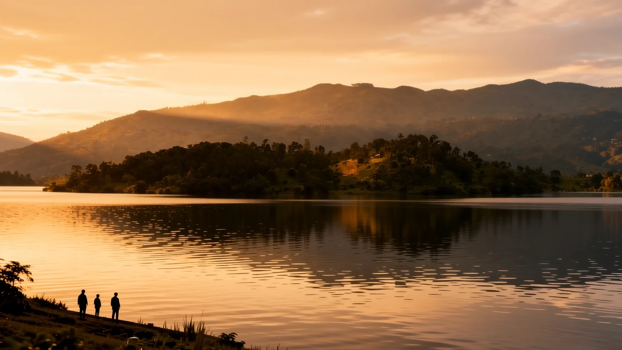
Lake Kivu is a deep, hill-ringed lake on the Congo–Rwanda border, best enjoyed slowly from the water, though the Congolese shore needs careful planning right now.
The place
Lake Kivu sits on the border between the Democratic Republic of the Congo and Rwanda, in the Albertine Rift, the western arm of the East African Rift. It is one of the African Great Lakes and runs about 42 km long and 50 km across at its widest. Its irregular outline makes the exact area hard to pin down, but estimates put it near 2,700 square kilometres, which makes it Africa's eighth-largest lake. The surface lies at about 1,463 metres above sea level, so mornings can feel cool even though the lake is close to the equator. It is also deep: about 475 m at its maximum and around 220 m on average. Roughly 58 percent of its water lies within Congolese borders. Towns line the shore on both sides. Goma, Bukavu and Sake are on the Congolese side, while Gisenyi (Rubavu), Kibuye and Cyangugu lie on the Rwandan shore. Between them the lake is framed by steep green hills, terraced fields and volcanic slopes. Idjwi, a large inhabited island, sits in the middle of the water. Boats cross between towns, and many visitors see the lake mainly from a guesthouse terrace or a slow crossing rather than from the roadside.
Its story
The lake's shape is the work of a rift that keeps stretching. Its floor lies in a valley being slowly pulled apart, and the volcanic activity that comes with that pulling has reshaped the land for thousands of years. For much of its history the lake drained northwards and fed the White Nile. Then volcanoes pushed up new mountains, including the Virunga range between Kivu and Lake Edward, and lava blocked the old outlet. The water found another route south down the Ruzizi River, into Lake Tanganyika. That lake rose and eventually spilled down the Lukuga. The Kivu of today is, in a real sense, the product of a closed doorway and a change of direction. Its depths carry a more unsettling story. Deep water holds large amounts of dissolved carbon dioxide and methane. Lake Kivu is one of only three lakes in the world, alongside Nyos and Monoun, that can undergo limnic eruptions, when stratified layers overturn and release gas. Because around two million people live near the shore, the risk is taken seriously. The lake's recent story is also political. Settlements on the Congolese shore, including Goma, came under armed control during recent fighting, and Idjwi was occupied without resistance. Anyone reading about the lake should check the current situation before planning a visit.
What to see
- Goma lakefront — Goma, Democratic Republic of the Congo
Goma's lakefront is where many visitors first meet Lake Kivu, with an open shore, boats drawn up on the sand and the water stretching south towards the hills. Its recent history makes this a place to check before you go, because the town changed hands in the fighting and conditions can shift quickly. If you do visit, stay near the centre, ask locally about movement and avoid travelling after dark.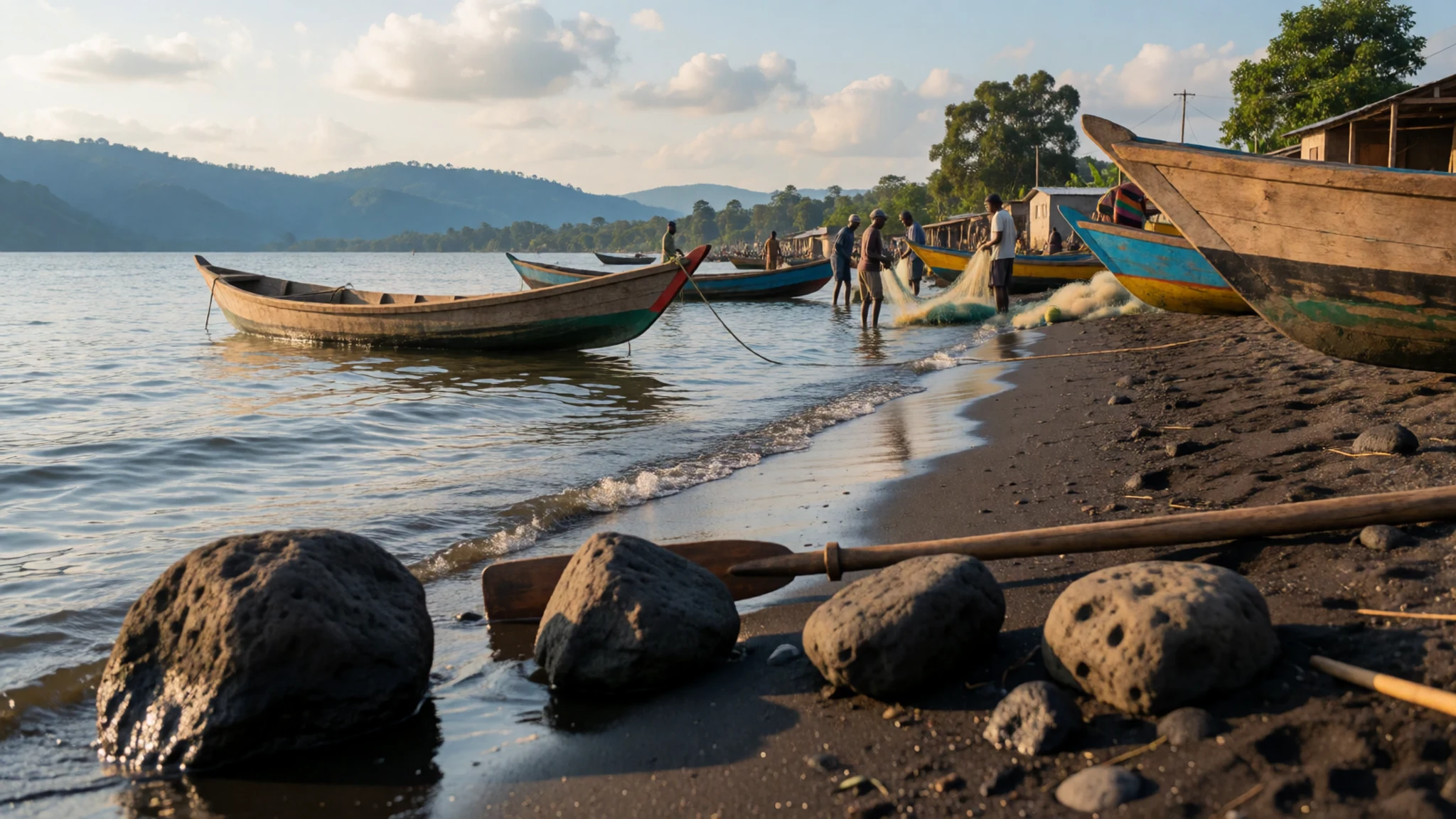
- Gisenyi (Rubavu) shore — Rubavu (Gisenyi), Rwanda
Gisenyi, now known as Rubavu, is a relaxed lakeside town on the Rwandan shore. Its waterfront is good for a slow walk at sunset, when the hills turn gold and the water goes flat. Hire a boat from the shore early in the morning, before the afternoon breeze picks up over the open water. Eat fresh lake fish at a waterfront eatery and keep an eye on the weather over the lake.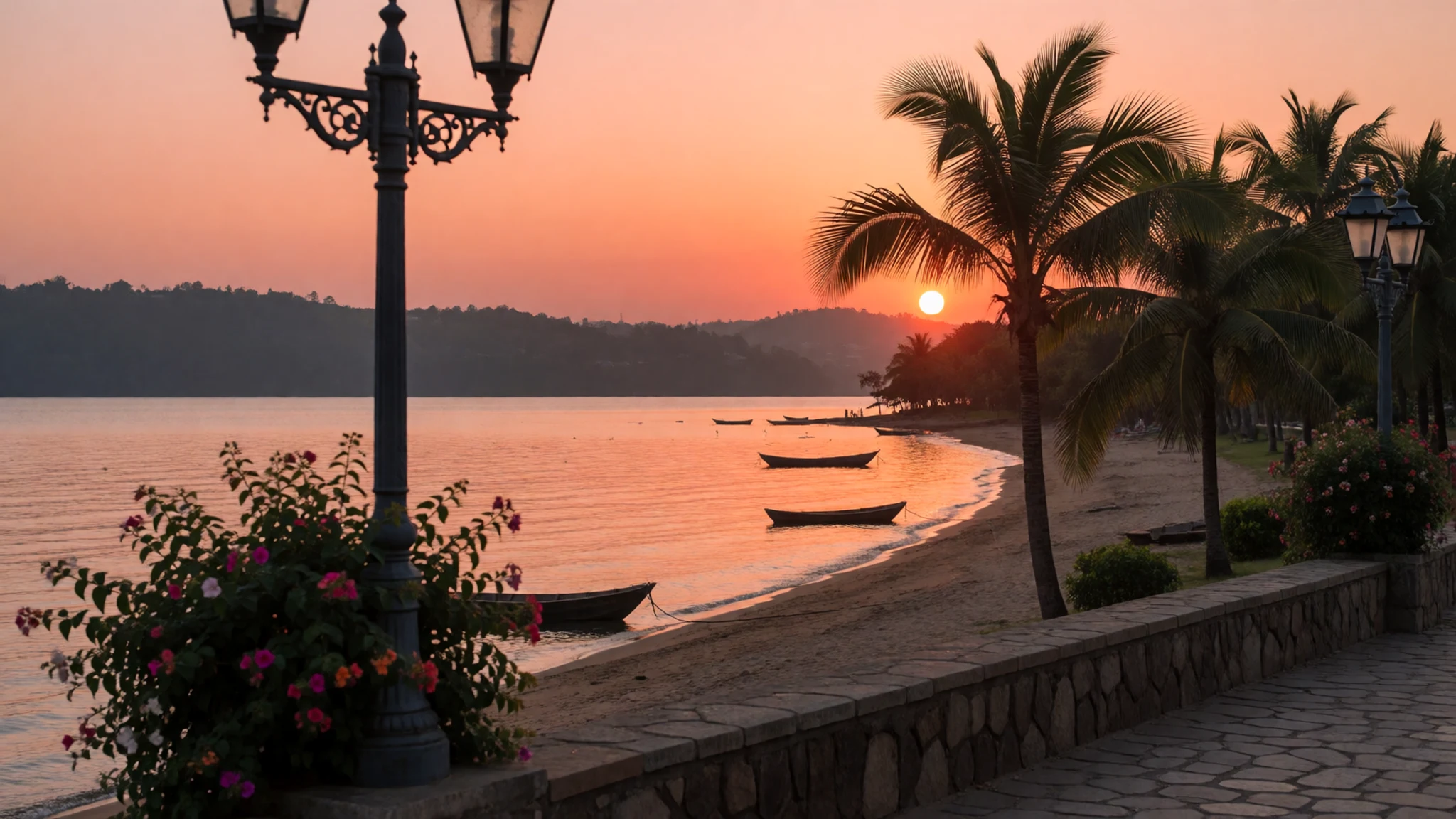
- Idjwi island — Lake Kivu, between the two shores
Idjwi is a large island in the middle of the lake, with its own villages, small farms and hillside paths. It is the place to see how island life works, with fishing canoes, cultivated slopes and families who depend on the water for their living. Access and security change, so ask locally about boats and checkpoints before arranging anything. Go with a local guide who knows the route and the people.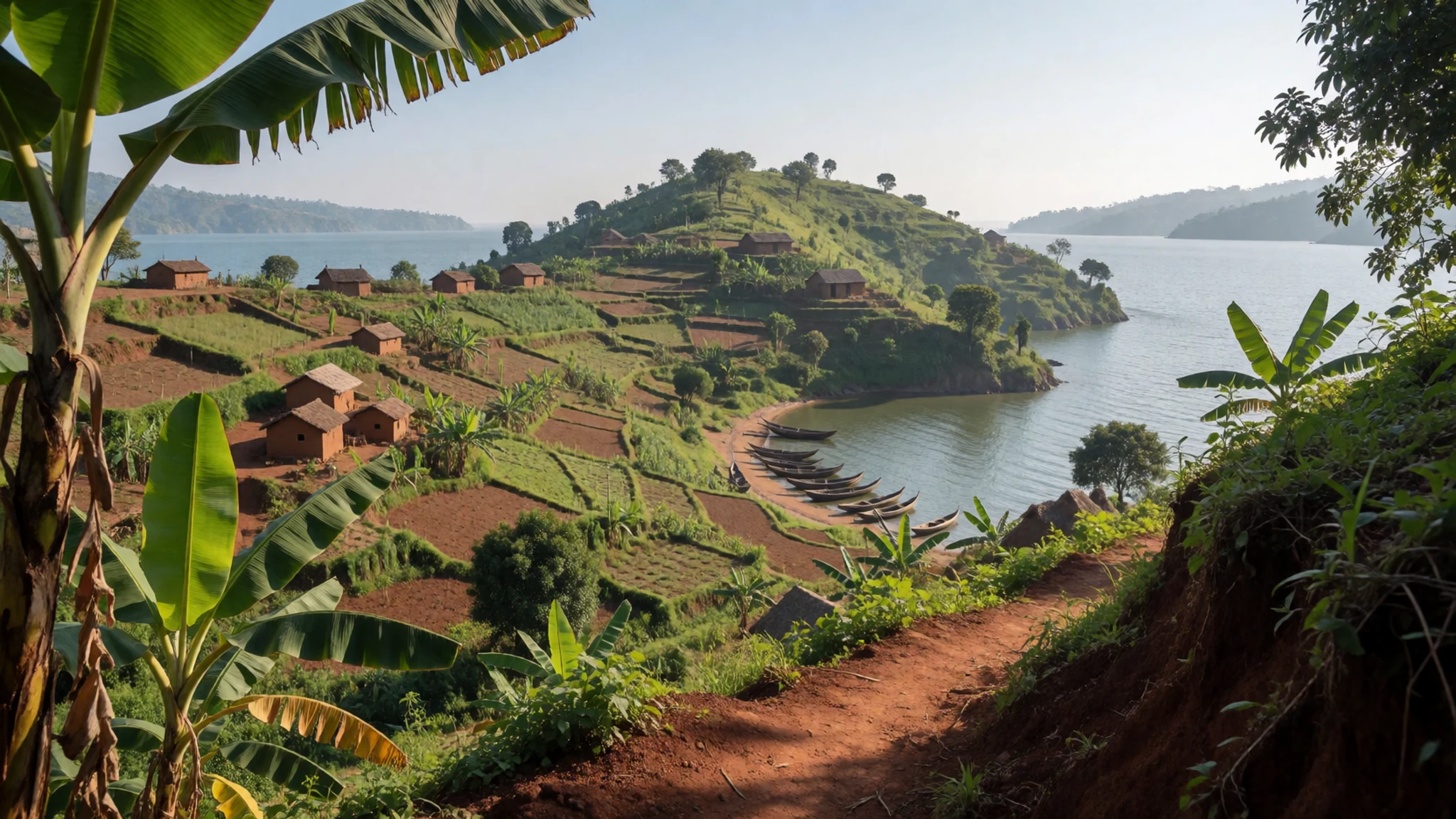
- Bukavu and the Ruzizi outflow — Bukavu, Democratic Republic of the Congo
Bukavu lies at the southern end of the Congolese shore, looking across the water to Cyangugu in Rwanda. From the hills above the town the lake shows its full width, and the narrow stretch where water leaves for the Ruzizi is easy to pick out. Ask for a viewpoint in the late afternoon, when the light is kindest. The markets are busy and the town feels lively, but the lake is best appreciated from above.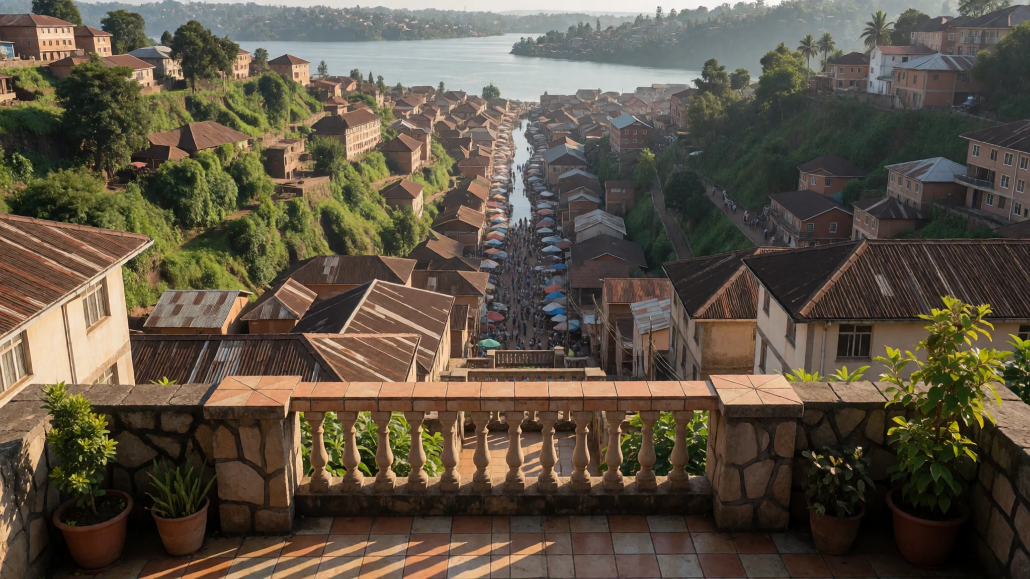
- Kibuye lakeshore — Kibuye, Rwanda
Kibuye on the Rwandan shore is a small lakeside town set among steep green hills, with quiet bays and fishing boats pulled up on the shingle. Short crossings and gentle walks along the water are the main draw. Choose a calm morning for a boat trip, since wind often builds over the open lake in the afternoon. Bring a light layer, because the altitude makes evenings cooler than many visitors expect.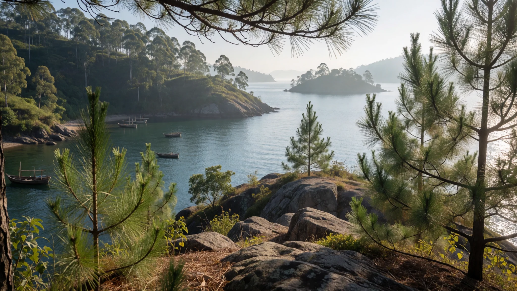
Culture
Life around Lake Kivu mixes fishing families, farmers, traders and town dwellers, and the lake is part of daily routine rather than a backdrop. Fishing is a working trade, with small boats going out at dawn and returning with the day's catch. Markets cluster along the shore and up into the hills, and talking with stallholders is part of the experience. On the Rwandan side, hospitality is warm and greetings take time, so allow a few minutes before asking directions or prices. On both shores, recent years of conflict have left deep marks, and people may not wish to discuss it with a stranger, so let them lead the conversation. Churches and mosques are used for daily prayer, and modest dress and quiet manners are appreciated near them. Avoid photographing checkpoints, soldiers or official buildings, which can cause real trouble. Please ask before photographing anyone, especially at close range in a market or on a boat.
What to wear
Traditional dress around the lake draws on the printed cotton cloth known widely as kitenge, a bright, wax-printed fabric that travels across much of East and Central Africa. Women often wear it as a wrapped skirt or a fitted dress, sometimes with a matching head wrap, and it is worn for weddings, church and formal occasions. Men traditionally wear simple tailored shirts and trousers, with cloth used for formal events. Today most people wear Western clothing for work and travel, such as jeans, shirts, dresses and trainers, while kitenge remains popular for celebrations and everyday outfits in markets. For a visitor, the climate calls for light, breathable layers, a hat and sunscreen for the midday sun, and a warm layer for cool evenings and early boat trips. Dress modestly in towns and villages, with shoulders and knees covered, and carry a scarf for churches or mosques. Sturdy shoes with good grip suit the steep, sometimes muddy hill paths, and sandals are fine for the lakeshore.
What to eat
- Grilled lake fish — Waterfront eateries and charcoal grills along the lakeshore in Gisenyi (Rubavu) and Goma
Fresh fish from the lake is the most natural meal on the shore, usually grilled whole over charcoal and served with a little salt, onion and a tomato sauce. Ask what came in that morning. You will find it at waterfront eateries in Gisenyi and along the Goma lakefront, and in simple roadside places in the lakeside towns.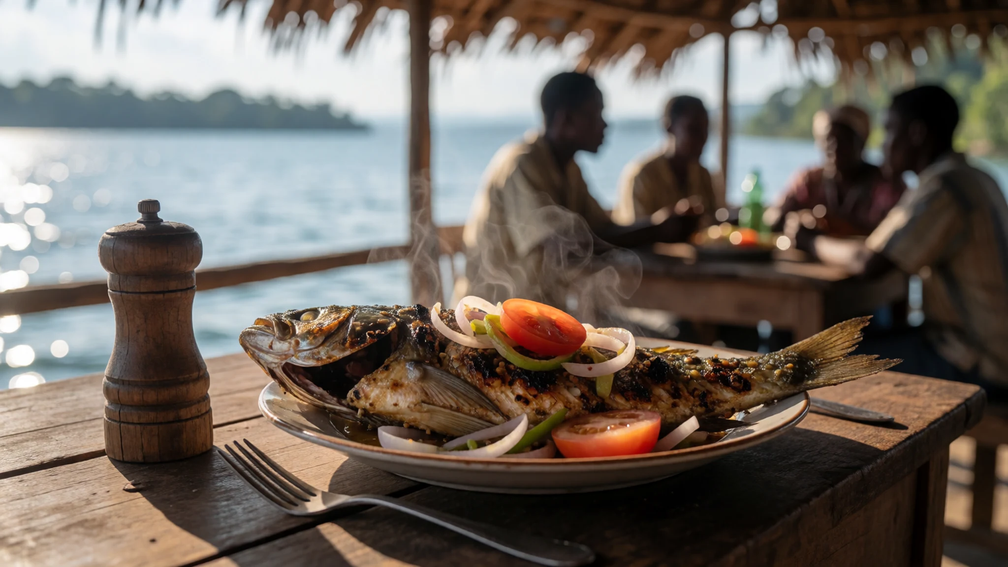
- Small dried sardines — The morning market by the water
Small silver fish from the lake are sold dried and salted at the morning market. They are crunchy and intensely savoury, often eaten with a starchy side or a bowl of beans. Buying a small bag from a stall lets you taste the local fishing trade without committing to a full meal.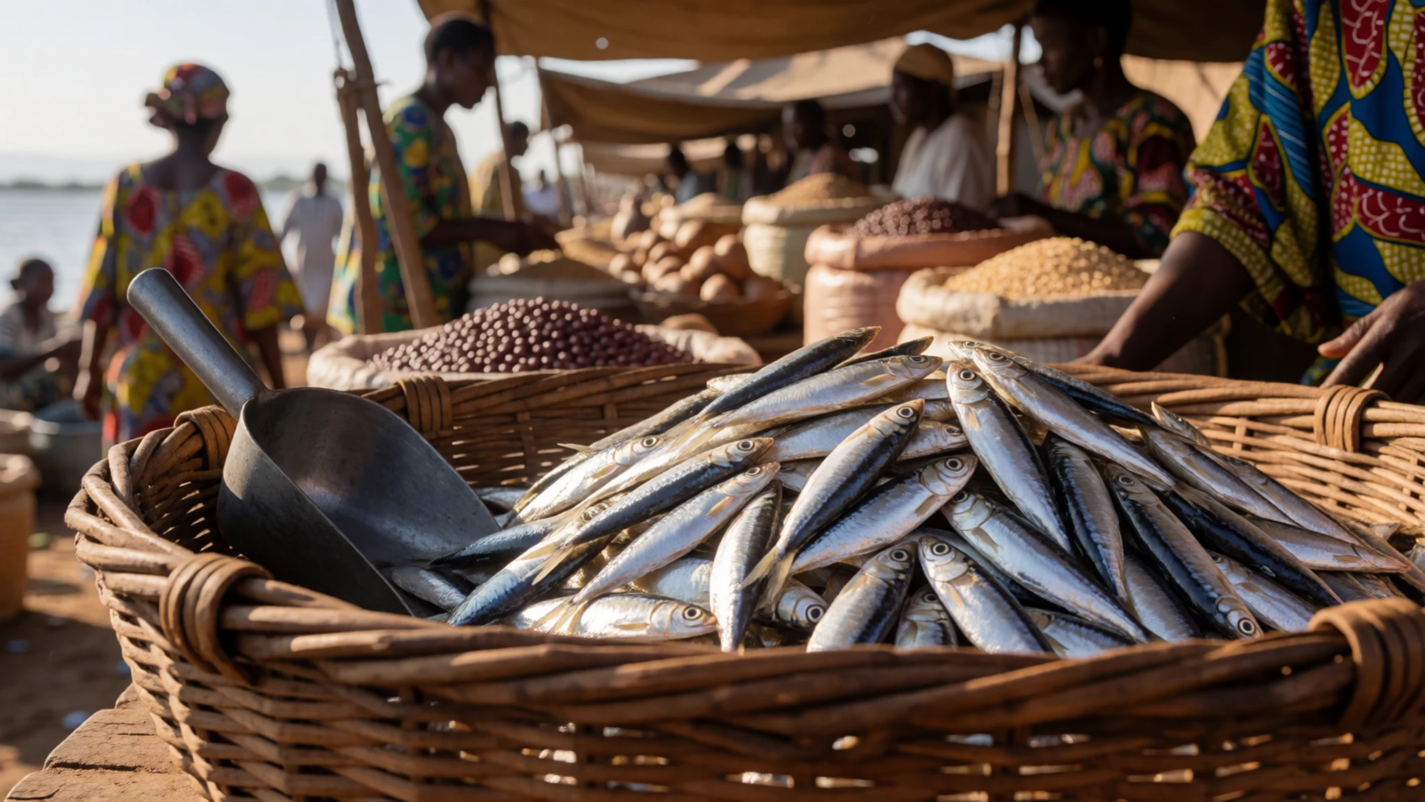
- Matoke — Any local eatery in the hills above the lake
Matoke is steamed or boiled green banana, mashed or served in its own shape, and it is a staple across the hills. It is mild and filling, usually paired with a meat or bean stew. Eat it at a local eatery in the hills, where the stew is made fresh and portions are generous. - Maize porridge and beans — Market stalls and busy roadside eateries
A thick maize porridge, often shaped into a firm portion, is served with beans cooked slowly in a tomato and onion base. It is simple, cheap and very common. Look for it at market stalls, where it is served hot from large pots during the morning and midday trade. - Urwagwa and hill coffee — Hill farms and cooperative shops on the roads above the lake
Urwagwa is a mildly alcoholic banana beer, traditionally served in shared jugs. Coffee grown on the surrounding hills is a good alternative and is often sold by local cooperatives. Both are most easily found at hill farms and cooperative shops on the roads climbing above the lake.
Plan it
Best time. The drier months, roughly June to August, are generally easiest for lake crossings and hill walks, while the wetter seasons bring heavier rain and rougher water. Mornings are usually calmest on the lake at any time of year.
How long. 2–3
Getting there. Kigali International Airport serves the Rwandan shore, with a road transfer west to Rubavu (Gisenyi). Goma International Airport serves the Congolese side. Check current road and border status before you travel.
Budget. mid
Tips
- Check current travel advice for both sides of the lake before booking anything
- Start boat trips early, before wind builds on the open water
- Carry cash in local currency, since card payments can be unreliable in smaller towns
- Carry your own bottled or boiled water, and avoid tap water
- Hire a local guide for island visits and for any journey beyond the main towns
Etiquette
- Ask before photographing people, especially at markets and on boats
- Greet people before asking questions, in French, Kinyarwanda or Swahili where you can
- Dress modestly in towns and villages and carry a scarf for religious sites
Nearby
Sources
- Wikidata Q125912 (CC0)
- Wikipedia: Lake Kivu (CC BY-SA 4.0)
- Wikivoyage: Lake Kivu (CC BY-SA 4.0)
- Lake Kivu — Omirambe, Rwanda Scenic View (CC BY-SA 4.0)
- Gisenyi Rwanda — Martijn.Munneke (CC BY 2.5)
- Congo: Lake Kivu — Steve Evans (CC BY 2.5)
- Aerial of Paradis Malahide island, Lake Kivu — Emmanuelkwizera (CC BY-SA 4.0)
- View of the sky and its reflection on Lake Kivu — MONUSCO Photos (CC BY-SA 2.0)
- Lake Kivu from Sake, Goma — A junaid alam khan (CC BY-SA 4.0)
- Lake Kivu separating Bukavu and Cyangugu — Tyron Amanpour (CC BY-SA 4.0)
- A New Look at Earth's Lightning (SVS31243) — NASA SVS (Public domain)


