Lake Hillier
Lake Hillier, Australia
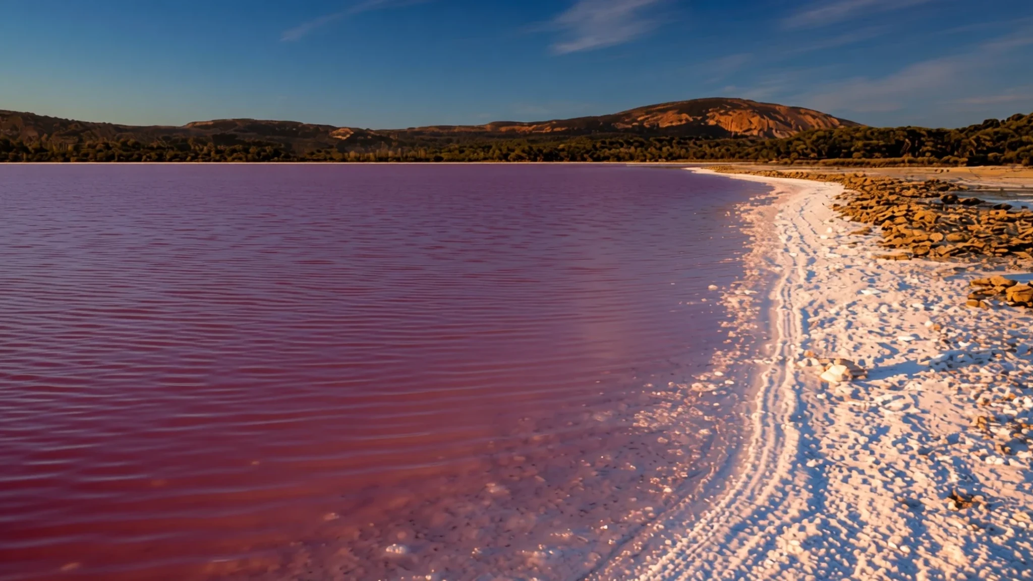
A salt lake on a remote Western Australian island, pink for reasons scientists link to a tiny living organism.
The place
Lake Hillier is a salt lake close to the shore of Middle Island, the largest of the islands in the Recherche Archipelago off the southern coast of Western Australia. Its defining feature is its colour. The water is a strong pink, and the shade holds when you scoop some into a container rather than fading the moment it leaves the lake. Researchers think the tint comes from Dunaliella salina, a single-celled alga that thrives in very salty water, and genetic surveys of the lake have also picked up bacteria and archaea living alongside it.
The lake is roughly 600 metres long and about 250 metres across, a modest feature on a modest island. A rim of pale sand encircles it, and beyond that dense woodland of paperbark and eucalyptus comes down to the margins. On the northern side a narrow band of vegetated dunes separates the water from the island's northern coast, so the lake never quite meets the sea. The land around it is quiet and largely undeveloped, and the Southern Ocean, called the Indian Ocean in some definitions, lies just beyond the dunes.
The colour is not constant. In recent years the pink has noticeably faded, and heavy rainfall is the main explanation, because fresh water dilutes the salt that keeps the lake so saturated. A paler lake is still a salt lake. The change is a reminder that the pink depends on conditions that shift from year to year.
Its story
The first written account of Lake Hillier comes from Matthew Flinders, the navigator, whose expedition was charting Australia's southern coast at the start of the nineteenth century. Climbing the highest point on Middle Island, he looked down on a small rose-coloured lake in the north-east. He was told the water was so heavy with salt that crystals gathered along the shore in quantities enough to load a ship, and that a sample needed nothing more than drying to be usable. The lake, in other words, was a resource from the moment anyone saw it.
Flinders came back to Middle Island some sixteen months later, planning a stay of a day or two in Goose Island Bay. His aims were practical: geese to feed sick crew, seal oil for lamps, and salt gathered from the lake. Before the expedition sailed again, a crew member named William Hillier died of dysentery on the island, and Flinders honoured him by naming the lake after him. The name has outlasted almost everything else the expedition left behind.
Later, in the late nineteenth century, the salt itself became the focus. Edward Andrews explored the possibility of making salt at scale, relocating to the island with his two sons. They mined the salt deposits for roughly a year before leaving. Salt mining on the lake continued for a time after that, but it never became a lasting industry. Today the island lies within a nature reserve, and the lake is valued for its colour and its place in the coastal landscape rather than for what can be taken from it.
What to see
- Lake Hillier
The lake itself is the reason most people come. Its shoreline shows a pale sand rim, then the strong pink water, which keeps its colour even when bottled. The shade shifts with rainfall and light: after a wet season it can look washed out, while a dry spell tends to bring out the deepest tones. Walk the rim slowly, photograph from the edge, and resist the urge to step into the salt.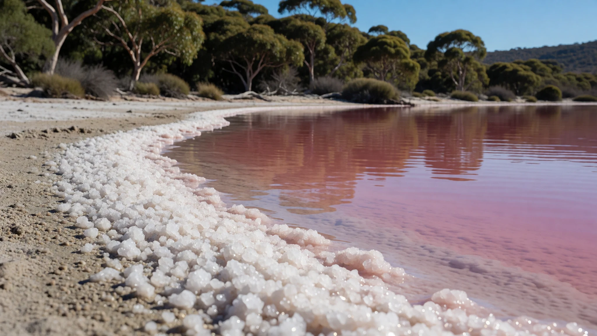
- Flinders Peak — Middle Island, Recherche Archipelago
Flinders Peak is the highest point on Middle Island and the spot from which Matthew Flinders first looked down on the lake. The climb gives the best sense of its setting: a small, rose-tinted patch among dense woodland, with the coastline and open ocean beyond. Because the island is a nature reserve, stay on any marked route up the slope, and bring water and sun protection for an exposed walk.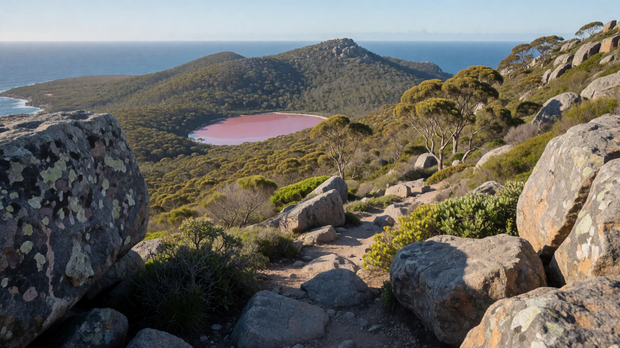
- Goose Island
Goose Island sits within the same reserve, and seeing it alongside Lake Hillier and Miles Island shows how the group fits into the wider archipelago. It takes its name from the geese Flinders hoped to collect for his crew. Views from the water are the usual way to see it, so ask your boat operator whether the route passes close by.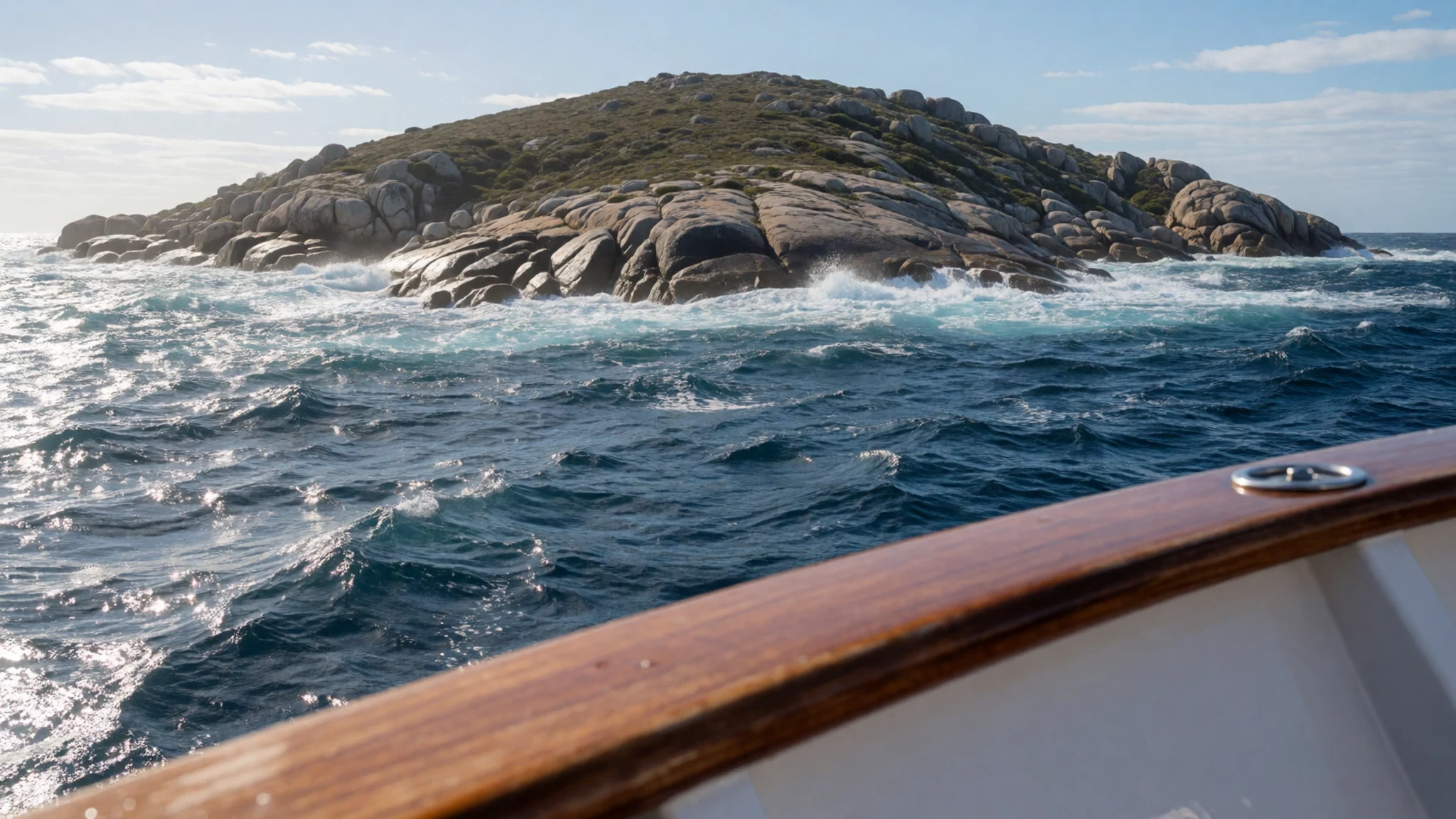
- Rottnest Island — Off Perth, Western Australia
Rottnest Island sits a short way offshore from Perth, offering a very different experience from the remote south coast. Its surrounding waters hold underwater caves that snorkellers and divers can explore, though conditions depend on weather and season. It makes a useful stop if you are travelling through the region, and it contrasts well with the wilder islands near Esperance.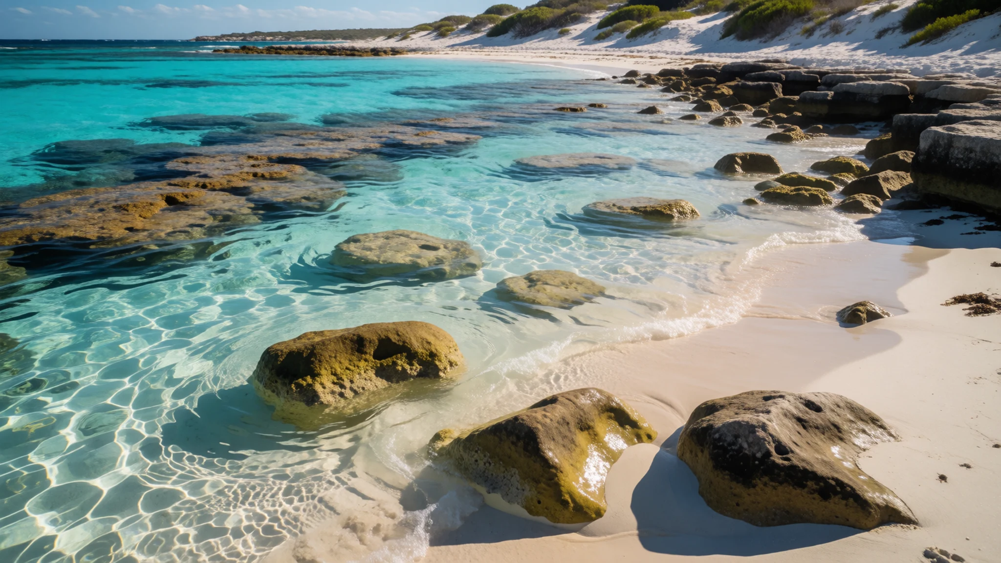
Culture
Lake Hillier lies on land whose traditional owners have lived on this coast for a very long time, and that history shapes how the region talks about itself today. Across Western Australia, native title and mining remain sharp points of debate. Mining drives much of the state's economy, yet consultation with Indigenous landowners has too often fallen short, and sacred sites have been lost, including Juukan Gorge, a sacred site blown up by the mining company Rio Tinto. The same tension runs through arguments about renewable energy and coastal conservation. Conversation is often frank, so listen more than you speak, especially on a boat trip where guides may explain the significance of the land. Stay on the tracks your operator uses, and treat what your guide tells you about Country as seriously as you would a museum label.
What to wear
Lake Hillier sits on a remote island, so what people wear here is shaped more by the boat, the wind and the sun than by any single local style. Traditional dress across this part of Western Australia was practical. Aboriginal communities made clothing, bags and cords from animal skins and woven plant fibres, and ochre and body decoration were central to ceremonial life. Few of those textile traditions are worn every day now, but they remain part of art, dance and community events in the region.
What people wear today is largely practical outdoor clothing: light long-sleeved shirts, sun hats, sturdy closed shoes and a waterproof layer for the boat. Visitors should pack a wide-brimmed hat, sunscreen, sunglasses and a windproof jacket, because the crossing and the open island are exposed. Wear shoes with grip for sand and rock, and bring a spare pair of socks for the return trip. No religious dress rules apply on the island, but if you are invited to a community event, dress modestly and follow the lead of the people hosting it.
What to eat
- Marron — Trendy restaurants in Perth in season, and marron farms in the south west
Marron is a freshwater crayfish with sweet, firm flesh that sets it apart from ocean species. Fine restaurants serve it when it is in season, but the more memorable way to eat it is at a farm in the south west, where you can buy them frozen or still alive. If you catch one yourself, you will need a fishing licence.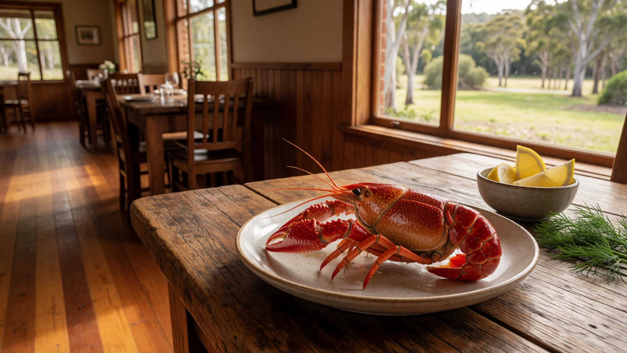
- Western Australian truffle — Fine-dining restaurants in Perth, and truffle farms in the south west
The state grows its own black truffle, which the better restaurants in Perth use to justify high prices. The local variety does not match European truffles in reputation, but it has the same earthy aroma. The south west holds a truffle hunt at Manjimup at the end of May, with limited places, so book ahead if you want to join.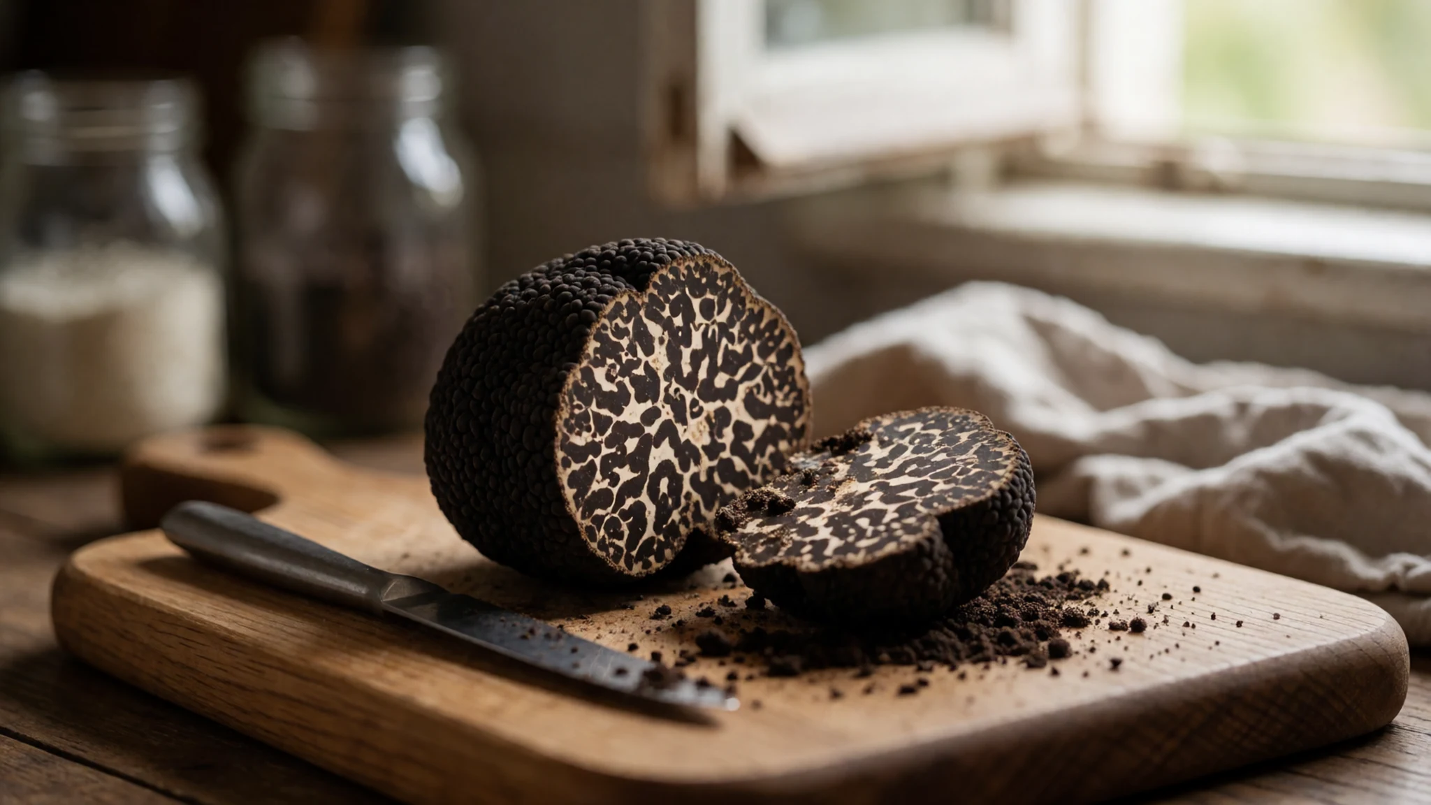
- Pub dinner — The local pub in any country town
Pubs are the dependable choice for an evening meal in most Western Australian towns. Expect hearty plates such as steak, fish and chips, or a roast, served without fuss. Bring photo ID, because bar staff often ask to see it. - Roadhouse meal — Roadhouses on the highways between towns
Roadhouses along the long highways serve sandwiches, burgers and sometimes a hot cooked meal, which makes them a lifeline on a long drive. Stock up on water and snacks before the next stretch, since the gap between stops can be considerable.
Plan it
Best time. June to August suits boat trips, when the days are coolest, though those months are also the wettest. The pink is strongest after a dry stretch, because heavy rain dilutes the salt that keeps the colour vivid, so check recent rainfall before you go.
How long. 1–2
Getting there. Fly into Perth, the state's main international gateway, then take a domestic flight or a long drive south to the coast. Regular boat trips rarely stop at Middle Island, so a scenic flight from Esperance Airport is the most common way to see the lake.
Budget. high
Tips
- Book a boat or tour well ahead, since access depends on operators and the weather
- Check the official site, hillierlake.com, for current access information before you travel
- Go in the cooler months and watch the forecast, because wind can change plans at short notice
- Carry all your water, sun protection and food for the day
Etiquette
- Keep to marked paths and leave sand, plants and salt crystals where they are
- Take nothing from the lake or the island, since it is part of a nature reserve
- Ask before photographing other visitors or any community event
Nearby
Sources
- Wikidata Q498671 (CC0)
- Wikipedia: Lake Hillier (CC BY-SA 4.0)
- Wikivoyage: Western Australia (CC BY-SA 4.0)
- Lake Hillier 2, Middle Island (Aussie Oc) (CC BY-SA 4.0)
- Pink Lake on Middle Island (Yodaobione) (CC BY-SA 4.0)
- Lake Hillier Shoreline (PruneCron) (CC0 1.0)
- Goose Island and Pink Lake (Aussie Oc) (CC BY-SA 4.0)
- Liqeni Hillier - Roze (Kurioziteti123) (CC BY-SA 4.0)


