Lake Hazen
Lake Hazen, Canada
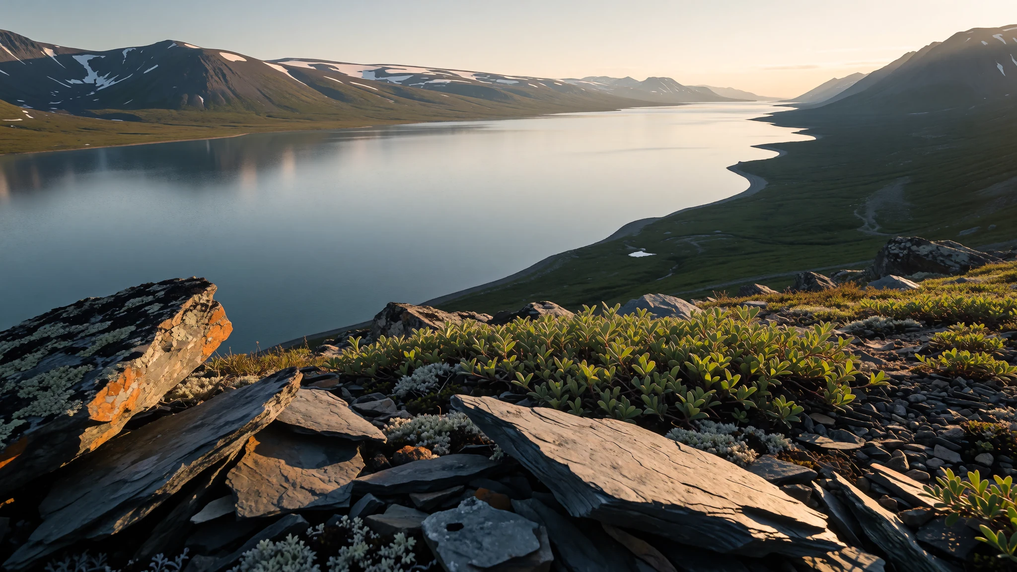
Lake Hazen is a vast, cold freshwater lake deep in Canada's high Arctic, reached only by air and best seen in the short summer.
The place
Lake Hazen lies on Ellesmere Island in Nunavut, Canada's northern territory, well above the Arctic Circle. The lake is long and narrow, running southwest to northeast for 74 km, and at its widest it reaches 12 km across. The land around it looks like pure ice and rock, yet in summer the valley can warm to 20 °C, which makes it a surprising green pocket inside the polar desert. The lake itself stays frozen for roughly ten months of the year, so the open-water season is short and quickly gone.
Meltwater and glacier flow feed the lake from the Eureka Uplands to the north, where old rock climbs to about 2,500 m above sea level. Water leaves through a short river that runs to the coast, and the surrounding peaks form part of the Arctic Cordillera. The lake lies within Quttinirpaaq National Park, so the basin is protected land, and its wildlife and plants are shaped by the cold and the brief growing season.
The main facts for a visitor concern access and distance. There are no roads and no rail links, and the nearest scheduled air connections are far to the south. The northeastern end of the lake sits 118 km from Alert, Canada's northernmost settlement, which gives a clear sense of how remote the place is.
Its story
Lake Hazen's story is largely one of ice and of people who came to study it. Archaeologists have found traces of the Thule civilisation near the lake, the ancestors of today's Inuit across the Arctic. Their discoveries, reported in 2004, showed that people had worked this country long before any modern survey. Their camps were overwintering fishing sites, and a stone dwelling near the Ruggles River and scattered fish bones suggest people stayed through the cold months where the current kept the water from freezing.
In modern times the lake drew scientists rather than settlers. Its glaciers and the ice that covers the water for much of the year make it useful for studying how cold regions change. Field work here has been organised around a base known as Hazen Camp, and the surrounding area is laid out on park maps with routes and sites marked. Such work depends on careful planning, because every flight, supply drop and weather window has to be arranged in advance.
Protection came later. The lake now lies inside Quttinirpaaq National Park, so its land and water are managed for conservation rather than development. That arrangement keeps the basin in a condition close to its natural state while allowing the research that tracks how the high Arctic responds to warming. The lake's history is therefore one of slow change, measured in ice and sediment rather than in towns.
What to see
- Southwest end of the lake — Southwestern end of Lake Hazen, Quttinirpaaq National Park
The southwestern end is where the long water body begins its run toward the northeast. Here the shore sits against the Arctic Cordillera, and the view across the open water in summer shows just how long the lake is. Plan for cold winds even on warm days, and carry layers for the walk back to camp.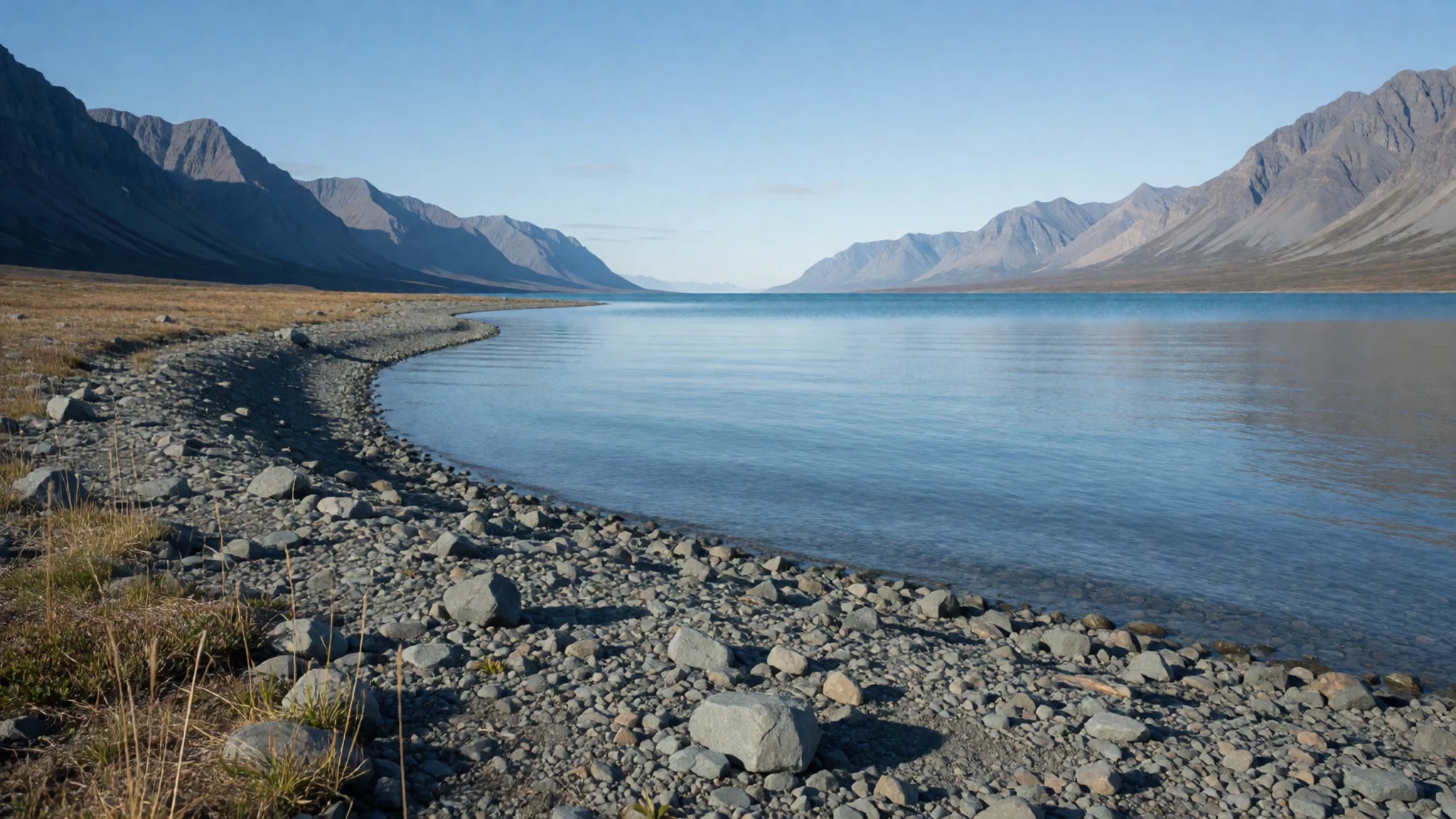
- Northeast end of the lake — Northeastern end of Lake Hazen
The northeastern end is the far end of the lake, and the shore there feels remote. It lies 118 km from Alert, the northernmost settlement in Canada, so the place feels like the edge of the map. Ice may hold the shoreline for much of the year, so check conditions with the outfitter before setting out.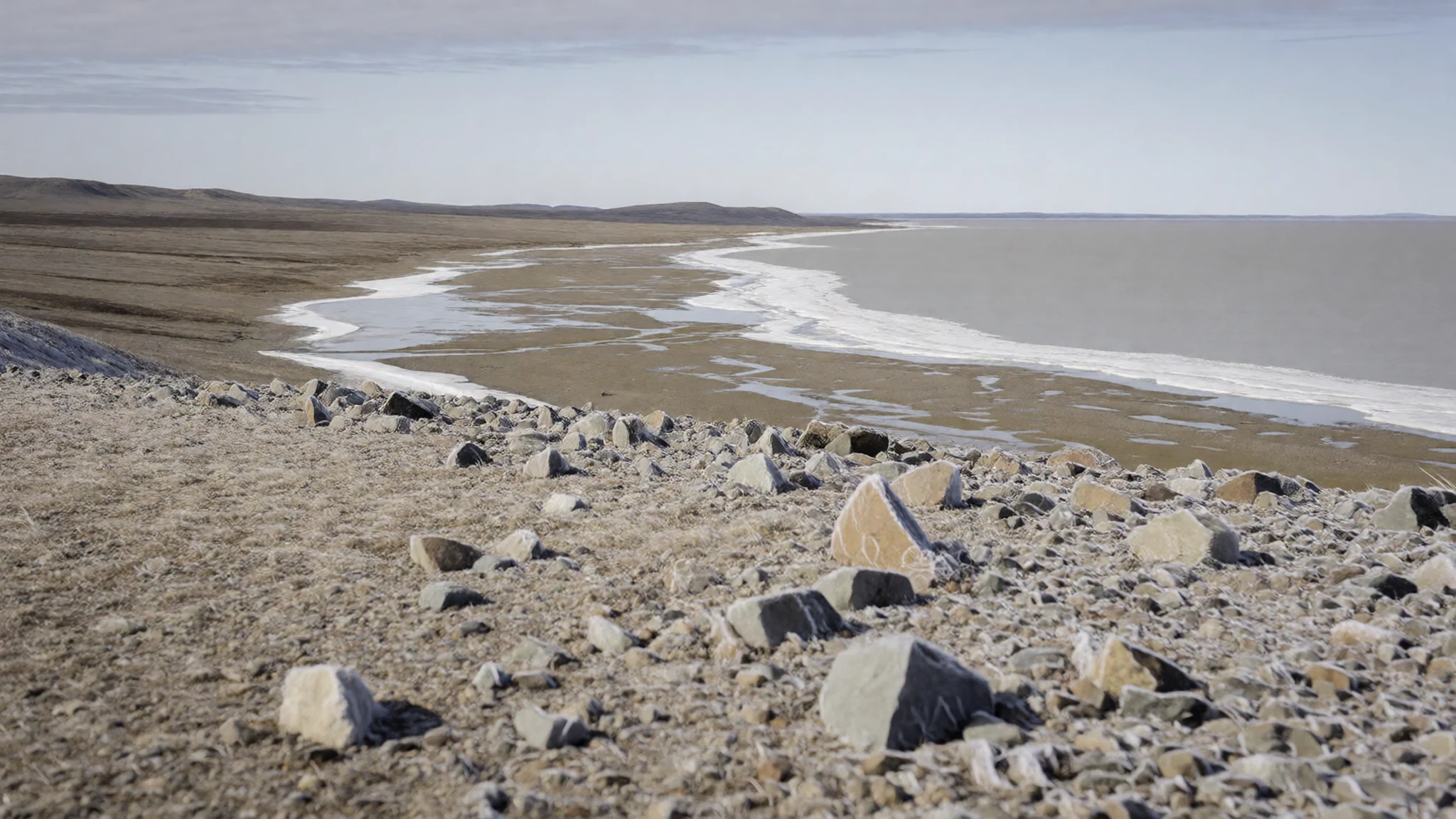
- Johns Island — In the lake, along its central axis
Johns Island is the largest of the lake's islands, stretching for about 7 km in the same southwest–northeast line as the lake itself. It is narrow, under 1 km across, so most of it can be seen from the water. Treat it as a natural feature rather than a place to land without advice from the outfitter.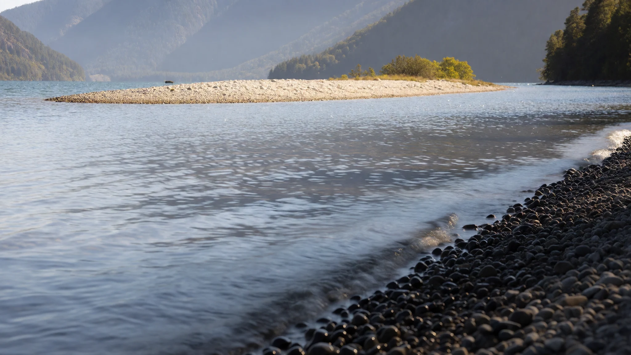
- Henrietta Nesmith and Gilmour Glaciers — Eureka Uplands, feeding the northern shore
The Henrietta Nesmith and Gilmour Glaciers pour meltwater from the Eureka Uplands into the north side of the lake. They are the main sources feeding the basin, so the water seen in summer is partly ice that has travelled a long way. Their melt is part of why the lake stays cold.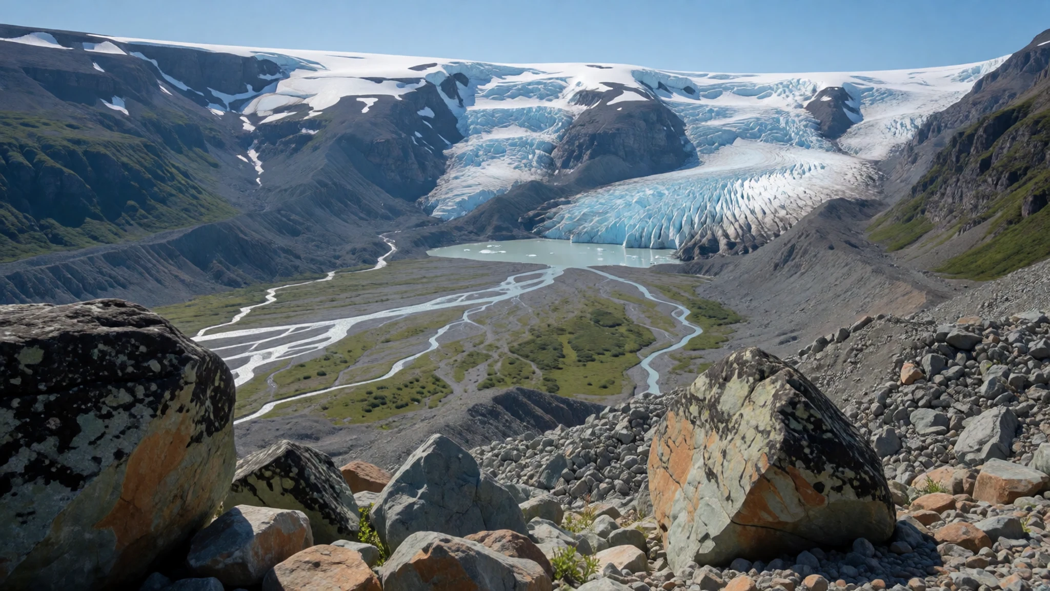
- Tanquary Fiord warden station — Tanquary Fiord, southwest of Lake Hazen
Tanquary Fiord warden station sits beside its airstrip about 70 km southwest of the lake. Hikers can start there or at the lake itself, so the station is a useful reference when planning a route. Ask park staff about current conditions before committing to the trail.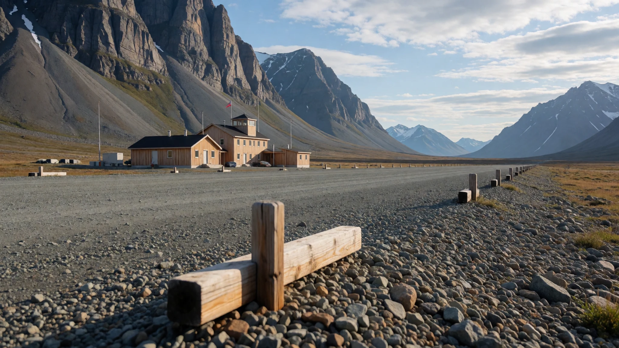
Culture
Lake Hazen lies within Nunavut, a territory whose culture is rooted in Inuit tradition and language. Visitors should know that Inuit communities have long faced disadvantage compared with the rest of Canada, in income, health and life expectancy, and that these issues are sensitive. Conversations about them are best approached with care, and it is wiser to let local people raise them than to start the subject yourself.
Hunting and sharing food remain central to many households, and the land is seen as a provider rather than a backdrop. Many communities expect careful behaviour around wildlife, and hunting or fishing with local guides is normal practice. Ask before photographing people, especially families, and never bring alcohol into a community with a dry-community rule, because those rules exist to protect people who are struggling.
What to wear
Lake Hazen has no settlement of its own, so the clothing around it comes from the wider Nunavut tradition of Inuit dress built for extreme cold. Traditional outfits were made from caribou and sealskin, sewn with sinew thread and cut to fit the body closely. The women's parka, the amauti, had a deep back hood in which infants were carried. Those skills survive, and many seamstresses and craftspeople in Nunavut still make hide and fur clothing by hand.
Today most people wear modern insulated parkas, warm trousers and boots suited to snow and wet ground, often mixed with traditional pieces for ceremonies or time on the land. Locally made items appear at community events and in shops, and they are worn with pride rather than as costume.
For a summer visit, dress in layers: a windproof shell, a warm fleece or wool midlayer, and a hat and gloves even in July. Waterproof trousers and sturdy boots with good grip matter more than style, because the ground is rough and often wet. Sunglasses help on bright ice, and lighter clothing suits the sunny afternoons. Tidy, respectful dress is appreciated inside community buildings.
What to eat
- Arctic char — A local fisher's sale in Iqaluit or another community
Arctic char, a relative of salmon and trout, has fed people in this region for thousands of years. Its flesh is pinkish and its flavour mild. Fishers sell it fresh in the communities, and it is often pan-fried or smoked.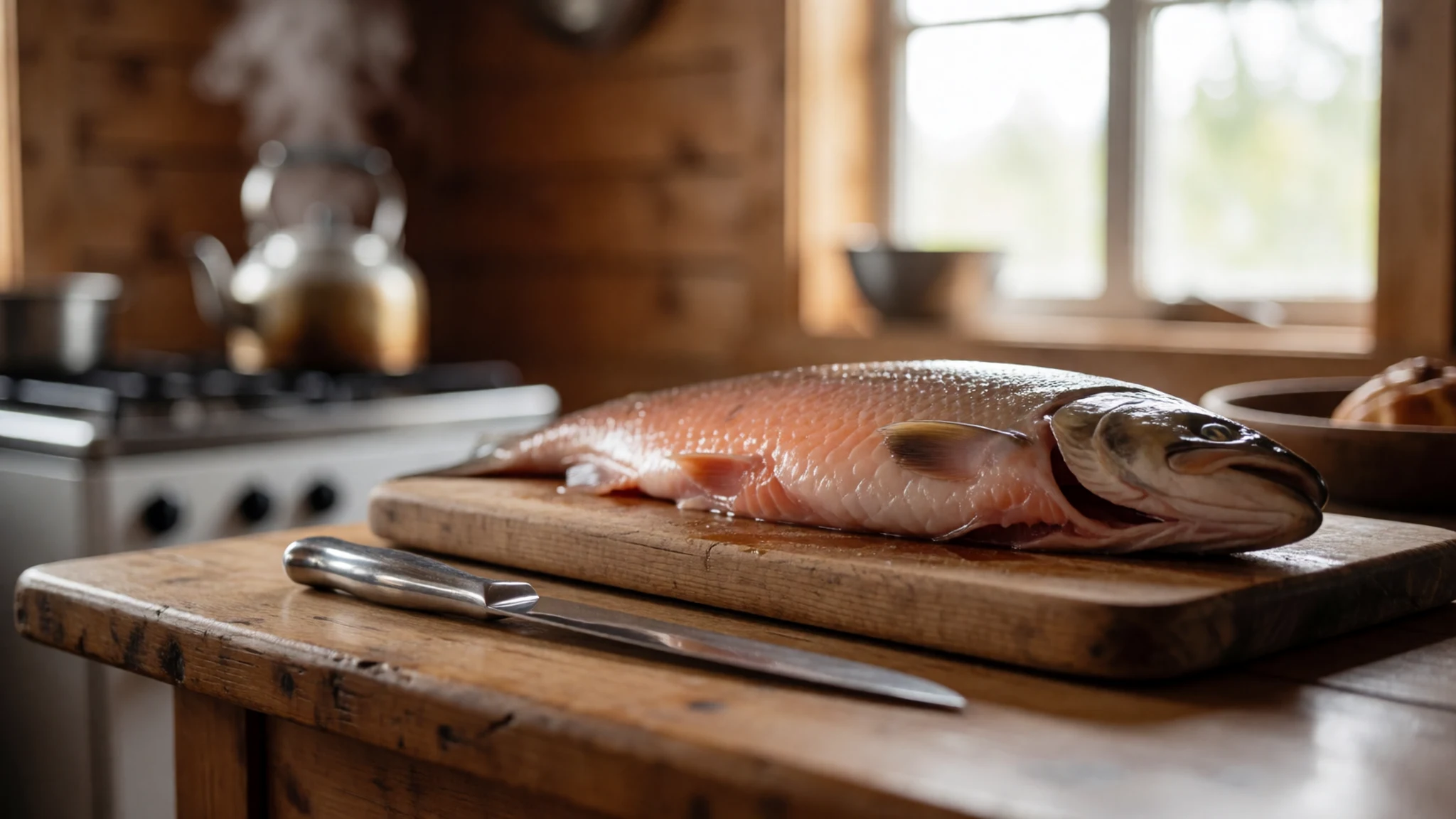
- Caribou — A hunter's cuts sold locally, or a home meal in a community
Caribou meat is eaten across Nunavut, often as roasted or thinly sliced cuts. It is lean, with a richer taste than most beef. Hunters sell cuts in season, and a home cook will usually explain how they like it prepared.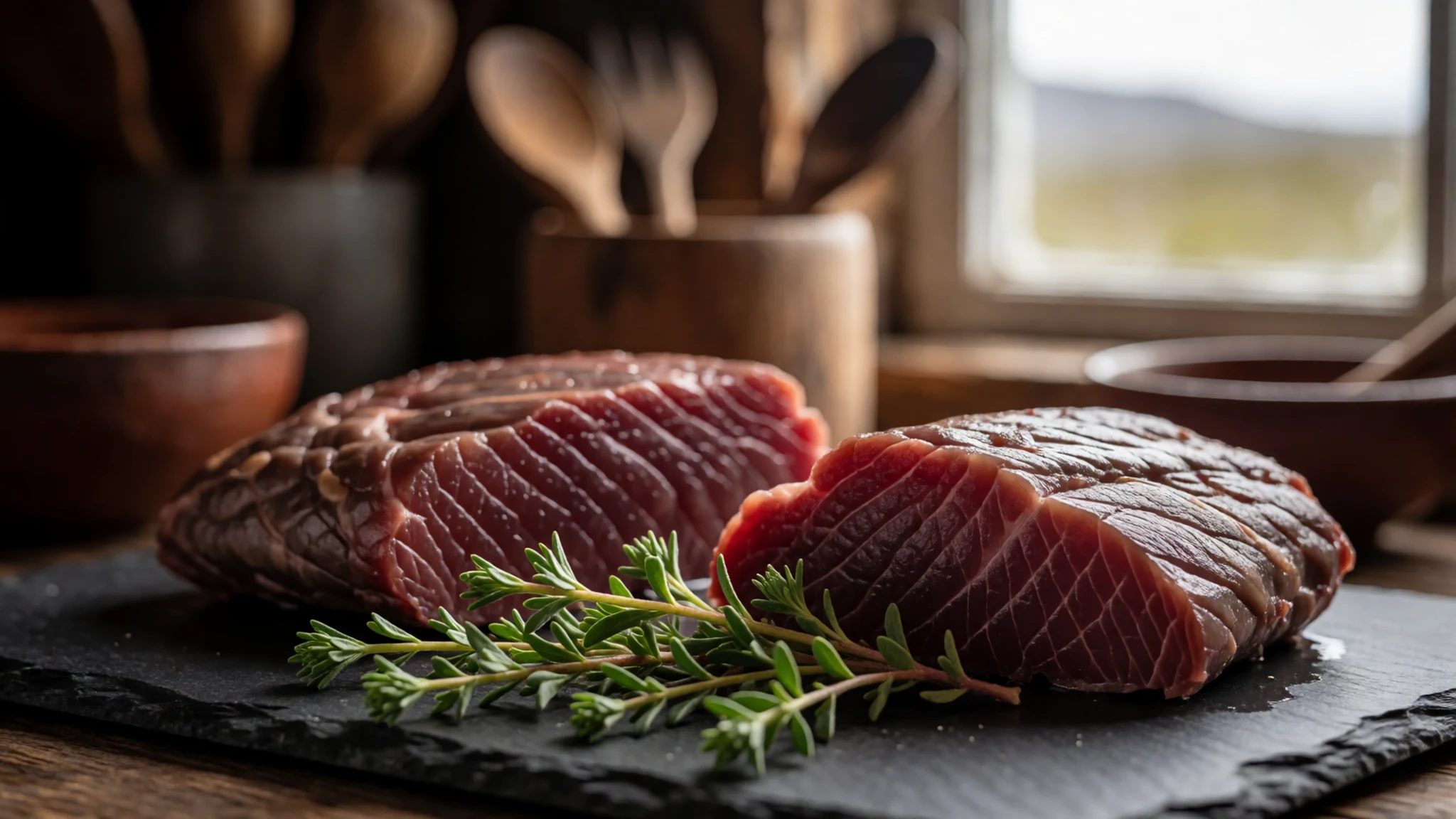
- Raw seal meat — A family table in a community, not a restaurant
Raw seal meat is one of the traditional foods still eaten in Nunavut, sliced thin and served fresh. Many families still hunt, so it is more likely to be offered at a home table than in any eatery. Accept a small piece politely if it is offered, and eat it slowly. - Labrador tea and summer berries — Tundra slopes near communities, picked in late summer
During the short summer, people gather wild plants such as Labrador tea and mountain sorrel, along with cranberries, blueberries and crowberries. Labrador tea is brewed from fresh leaves. Pick only where local people do, and leave plenty for the animals that depend on them. - Co-op and Northern groceries — Grocery shops in Iqaluit and other communities
Co-op and Northern are the main grocery chains across Nunavut, and their shelves carry most of what a visitor needs. Because food arrives by air, fresh milk, fruit and vegetables cost far more than in the south. Buy perishables carefully and plan meals around what is available.
Plan it
Best time. Late June to August is the practical window: the ground is clear, temperatures can reach 20 °C, and the lake is ice-covered for roughly ten months of the year. Winter brings darkness and deep cold.
How long. 5–7
Getting there. Access is by air only. Fly to Iqaluit, which has scheduled services from Ottawa and Montreal, then arrange a charter or outfitter flight north to the lake or to Tanquary Fiord.
Budget. high
Tips
- Book with an outfitter well ahead, since charter seats and weather windows are limited
- Pack layers and a windproof shell, as it stays cold even in July
- Carry all the food and fuel you need, because there are no shops at the lake
- Expect high costs and confirm current prices with the operator in writing
- Arrange a reliable means of contact, as mobile coverage cannot be assumed
Etiquette
- Check the local alcohol rules before you fly, and leave alcohol out of dry communities
- Ask before photographing people, especially in communities
- Keep food and rubbish secured away from wildlife
Nearby
Sources
- Wikidata Q1233614 (CC0)
- Wikipedia: Lake Hazen (rev 1379964895) (CC BY-SA 4.0)
- Wikivoyage: Nunavut (rev 5395276) (CC BY-SA 4.0)
- Photo: Western part of Lake Hazen, Ansgar Walk (CC BY-SA 2.5)
- Photo: Map of Quttinirpaaq National Park, Eric Gaba (CC BY 3.0)
- Photo: Karte von Hazen Camp und Umgebung, Knowledge2need (CC BY-SA 4.0)


