Lake Chelan
Lake Chelan, United States
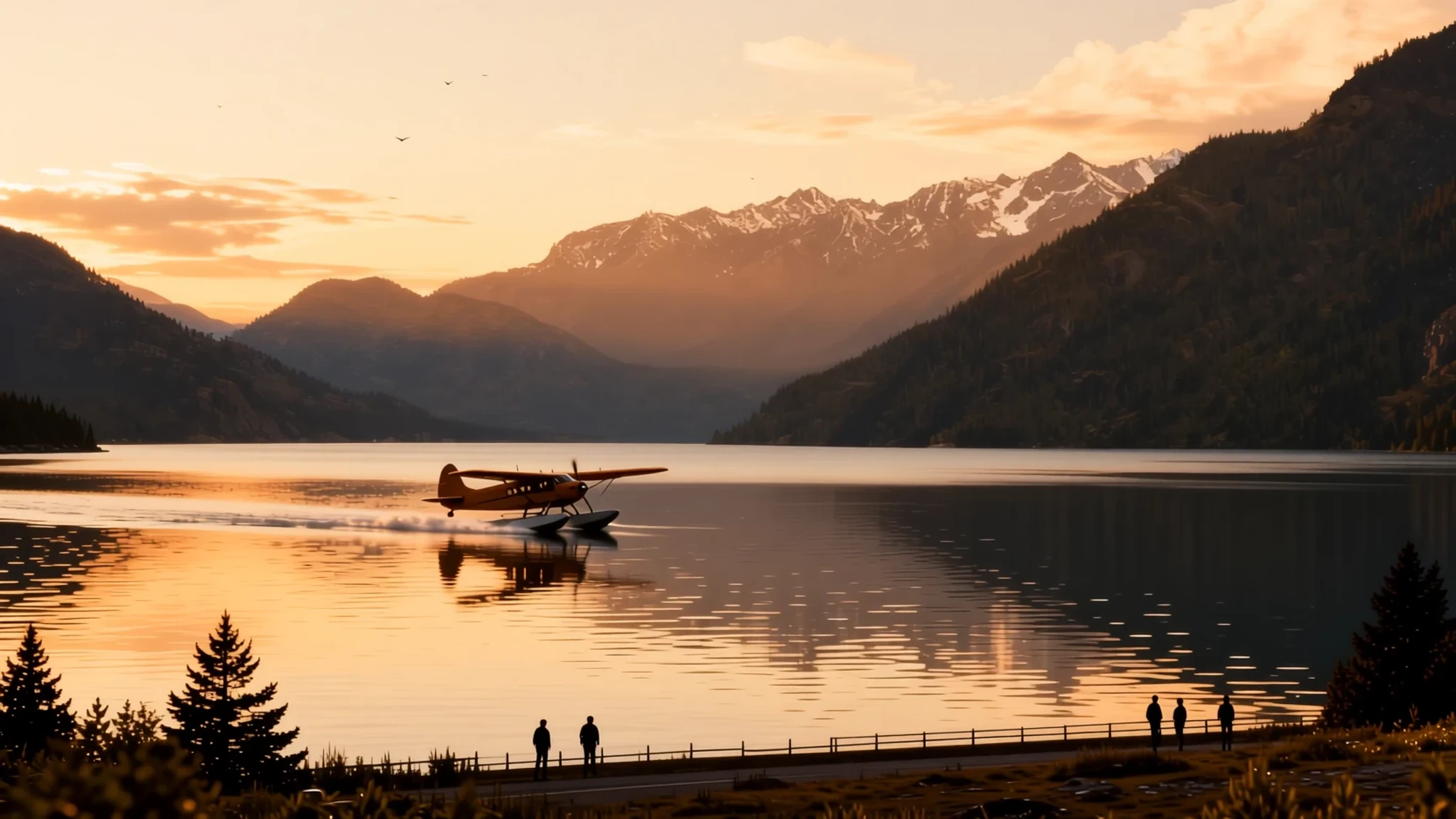
A long, deep, fjord-like lake in north-central Washington, ringed by mountains and orchards, best seen in spring or autumn.
The place
Lake Chelan sits in Chelan County in north-central Washington, a long, narrow stretch of water about 81 km from end to end. It is shaped more like a fjord than a typical lake. Its sides drop steeply and the water runs very deep, with the deepest point more than 450 metres down. The surface sits about 335 metres above sea level, yet peaks rise within a few kilometres of the shore, which gives the lake a closed-in, alpine feel even on a calm morning.
The lake rewards slowing down. At the southern end, the town of Chelan sits beside the dam and the river outflow, with shops, eateries and marinas, and it is the easiest base for a first visit. Further along the south shore, orchards at Manson climb the slopes, a reminder that the valley is farmland as well as wilderness. Travelling north, settlements thin out until Stehekin, reached mostly by boat, seaplane or a long walk, where the lake ends against the mouth of the Stehekin River.
Heat is the main thing to plan for. Summer days are dry and bright, and the water stays cold enough to make you gasp. Spring and autumn are gentler, and the lake's mood changes with the wind. Expect busier conditions around the southern town in summer, and quiet almost everywhere else.
Its story
The name is a Salish word usually understood to mean deep water, a description anyone who has stood at the edge of the lake will recognise. Long before settlers arrived, Indigenous peoples travelled these waters and used the land along the shore, and that history remains part of how the place is known today.
The lake's shape comes from ice. Glaciers pushed down the valley and scoured the bedrock far below sea level, leaving a basin that geologists call overdeepened. Over time, glacial and lake sediments filled the lower reaches, which is why the bedrock floor lies so far beneath the water. The steep sides and the narrow northern reaches still show how deep and confined that original valley was.
For much of its history, Chelan was a lake people admired more than changed. Before the dam at the southern end was completed in 1927, it was the largest natural lake in Washington, measured by both surface area and water volume. The dam raised the water level by about 6.4 metres, drowning some shoreline and turning the lower lake into a managed reservoir with a steadier level.
Settlement has always been thin. The town of Chelan, at the dam, is the only incorporated community on the shore. Further up, Manson and the smaller communities of Lucerne and Stehekin carry on quieter lives, tied to orchards, boats and the seasonal traffic that reaches them.
What to see
- Chelan town and the dam — Southern end of the lake, Chelan
The town of Chelan sits at the lake's southern end, beside the dam and the river where the water leaves on its way downstream. It is the easiest place to base yourself, with shops, eateries and boat hire along the waterfront. Walk out toward the dam for a view of the outflow and the lake's southern reach, then return to town in the late afternoon, when the light turns gold on the water.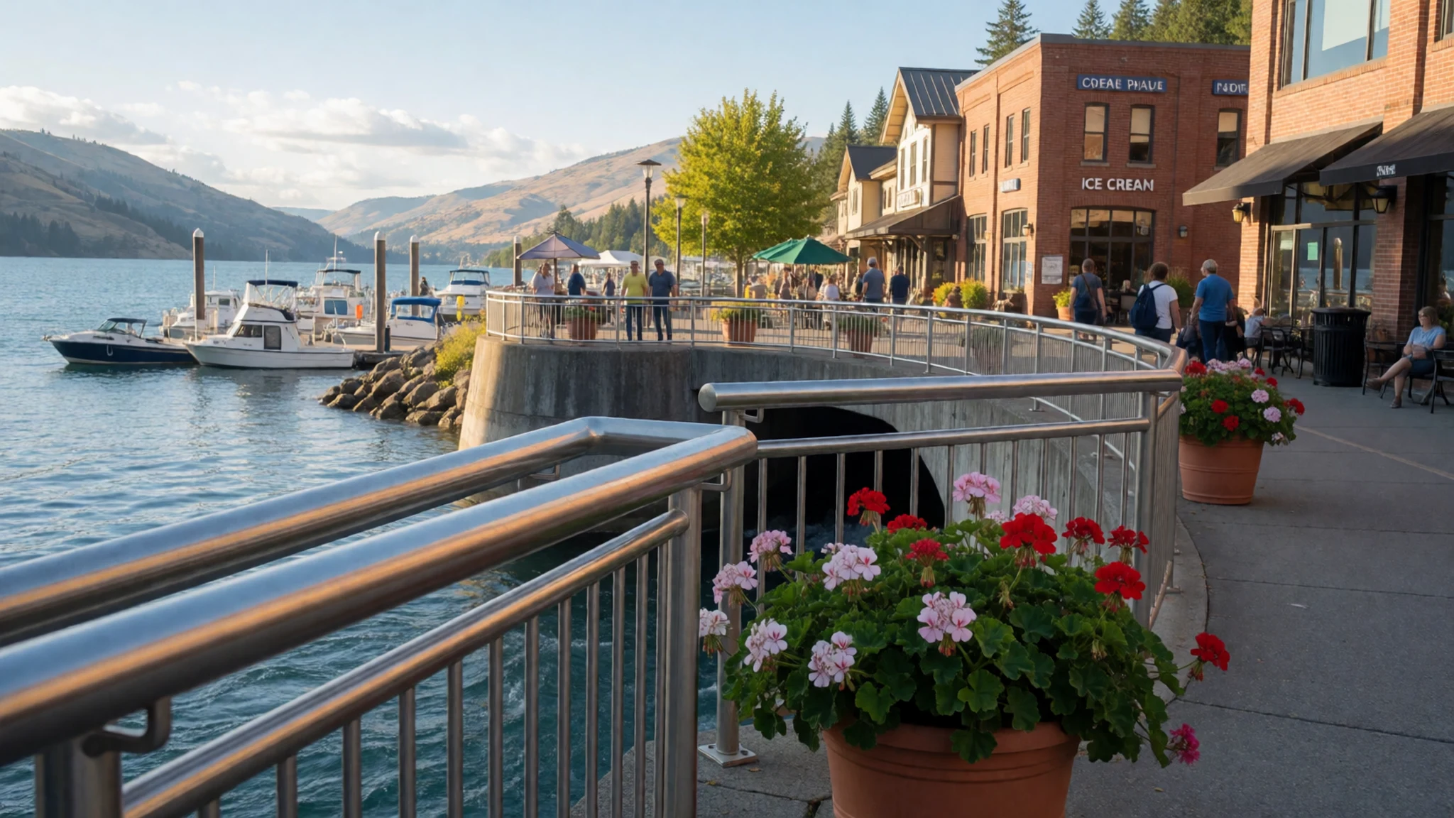
- Manson orchards — South shore, Manson
Manson sits on the south shore, where fruit orchards run down toward the water. In season, stop at a farm stand or roadside stall and take a slow drive or walk along the shore road to see the rows of trees against the lake. Early autumn is the best time for fruit, and the view across to the opposite shore shows the lake at its most open.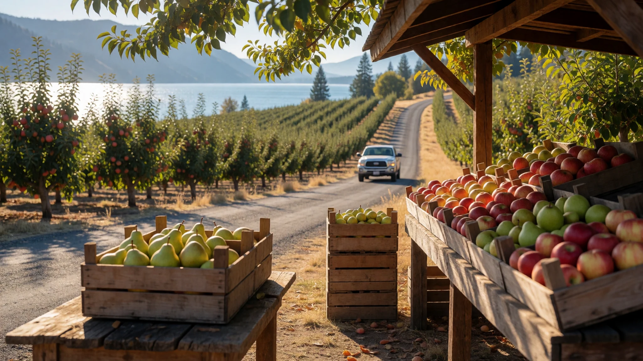
- Lucerne and Railroad Creek — Mid-lake, mouth of Railroad Creek
Lucerne is a small community of private cabins at the mouth of Railroad Creek, reached by commercial boat rather than road. It is also the main gateway to Holden Village, a Lutheran retreat centre set well inland. Lucerne is a place to arrive, sit by the water and notice how little traffic the upper lake carries. Check boat schedules with the operator before you plan a day around it.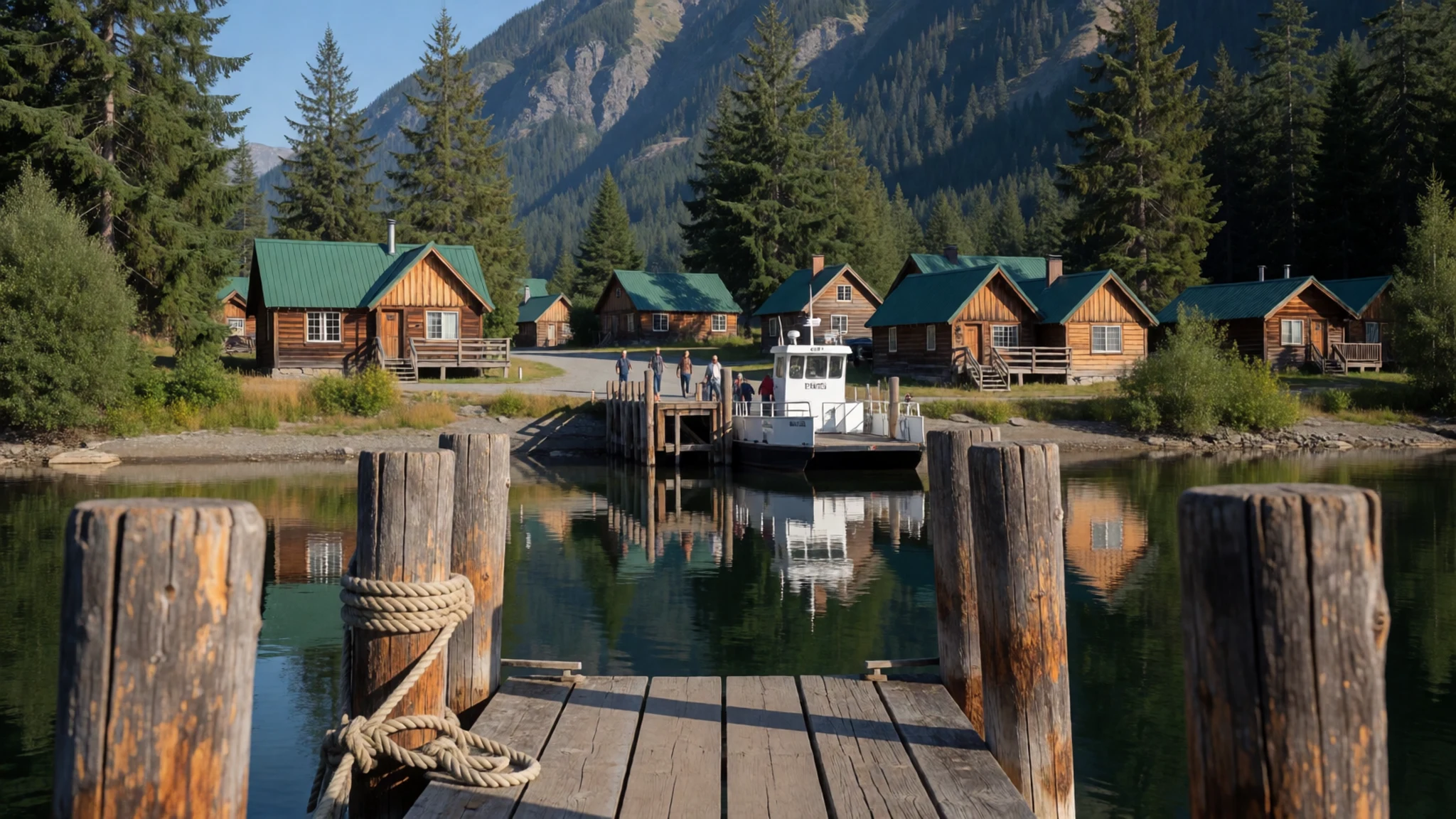
- Stehekin and the upper valley — Northern terminus, Stehekin
Stehekin sits at the northern end of the lake, where the Stehekin River flows in. It is remote enough that most visitors arrive by boat, seaplane or on foot, and roads are few. Expect basic services, a slower pace and a valley that feels far larger than its small population suggests. Pack for changeable weather, carry plenty of water and plan your return transport before you go.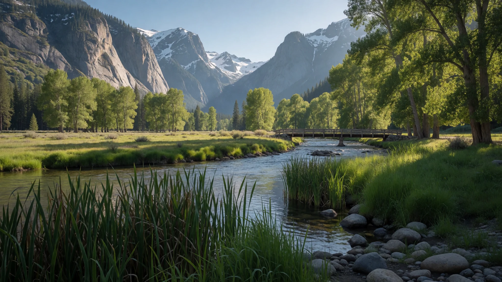
- Lakeshore Trail — Shore path near Stehekin
The Lakeshore Trail follows the water near Stehekin, giving close views of the deep blue lake and the steep walls that rise from its edges. Parts of the path are gentle, but the route can be hot and exposed in summer. Start early, take more water than you think you need, and turn back if the wind picks up on the open water.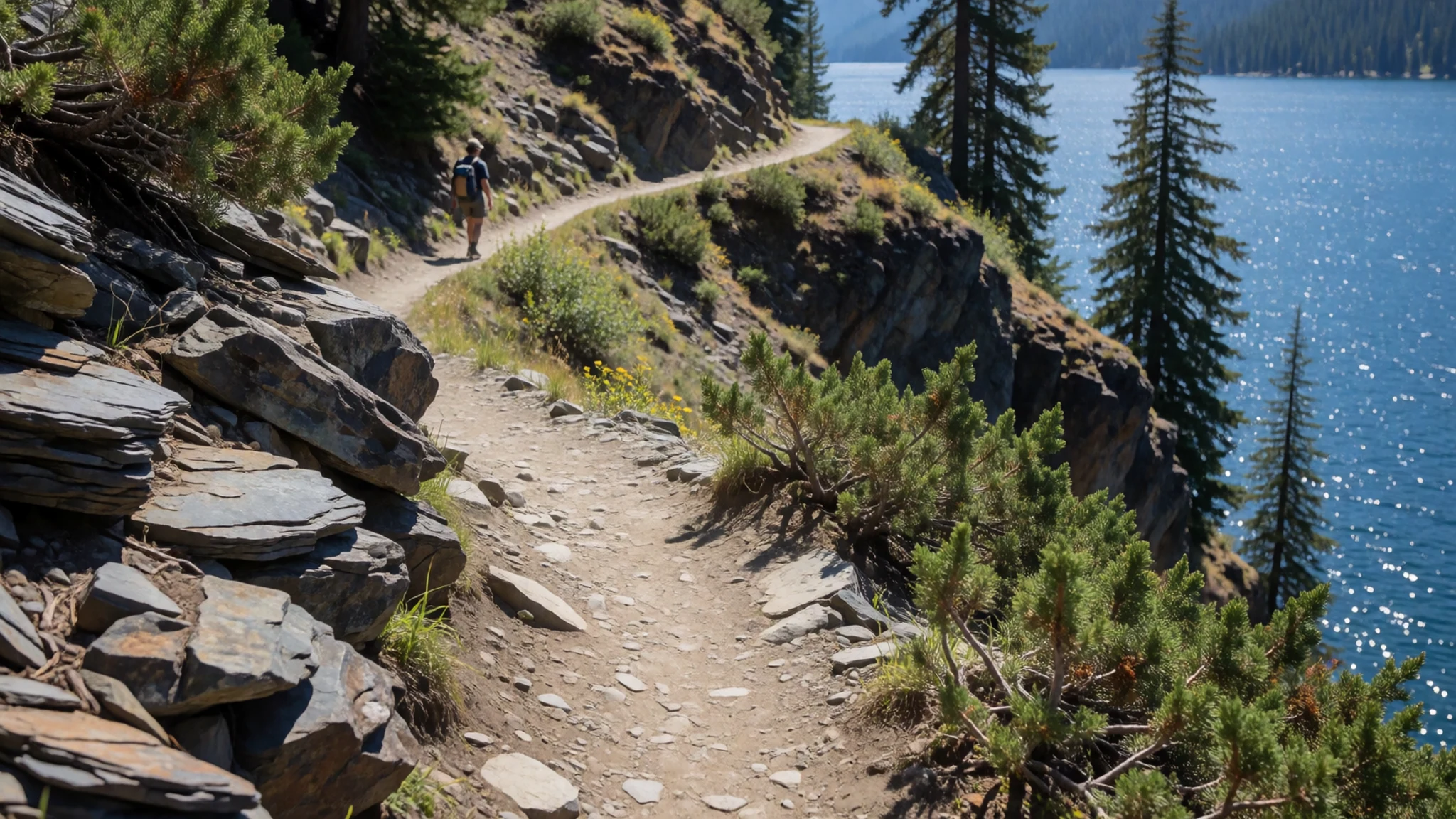
Culture
Lake Chelan is in Washington State, where public life rests on a strong habit of looking after the land. Littering on roads and highways is taken very seriously, and the roadside signs about keeping the state clean are not decoration. If you stop to picnic or pull over, take every scrap home and use bins only where they exist.
Access to trails and beaches is managed. Popular hiking trails near the lake fill early on summer weekends, so start before mid-morning and park only in designated lots. Parking outside them can lead to a ticket or a tow. Some trails need advance reservations for crowd control, so check before you set out. A state park pass is needed for private vehicles entering state parks; check the official site before you travel, as purchase options and dealer surcharges vary.
Boat and vehicle queues follow the rules too. Wait in marked areas, never cut in front of others, and never block access to homes or businesses, even in small communities where everyone knows each other. Pack out everything you bring in, and never leave litter on a trail or roadside.
What to wear
Traditional dress around Lake Chelan is hard to describe from the sources behind this reading, and it would be wrong to invent it. Salish-speaking peoples of the wider region have long traditions of woven and beaded work, and ceremonial regalia varies by nation. The most reliable way to learn about that dress and its materials is through tribal cultural centres and regional museums, where curators can explain what is on display.
Most people on the lake today dress for work and weather. Around the orchards and marinas you will see fleece, work jackets, sun hats and sturdy boots, clothing that holds up through long days outdoors. In town, casual outdoor wear is the norm, and nobody will look twice at shorts in the afternoon.
For a visit, dress in layers. Summer afternoons can be hot and dry, while mornings on the water are cold, so carry a fleece or light shell even in July. Wear shoes with grip for trails that are often rocky and dusty, and bring sandals or water shoes for the shore. Sun protection matters more here than any particular outfit, and a light long-sleeved top helps on exposed paths. When you visit a church or community building, cover your shoulders.
What to eat
- Pacific salmon, fresh — Waterfront eateries in Chelan town and cafés near the marina
Salmon is the region's signature fish. Fresh runs vary by species and season, so ask what is local that day. Grilled or pan-fried, it arrives simply dressed. Asking for the local catch is the easiest way to taste the place.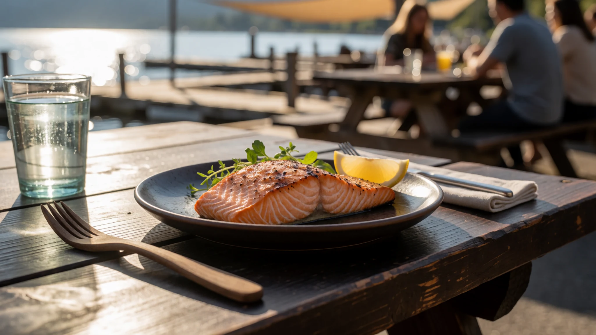
- Smoked salmon — Delis and grocery counters in Chelan town, or farm stands near Manson
Preserved smoked salmon is sold year-round and is a regular item on local plates. Buy a piece from a deli counter for a picnic on the shore. It keeps well in a cool bag for a day, so it suits a boat outing.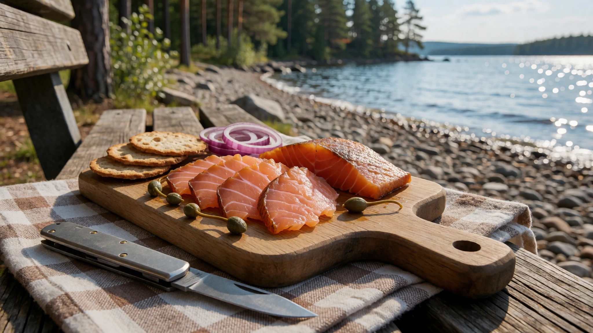
- Dungeness crab — Seafood counters and restaurants that source from the coast; ask before ordering
Dungeness crab is prized for its sweet, tender flesh and the high share of meat in each shell. It takes its name from the port where it was first harvested commercially. Because it is a coastal species, it is less common on this inland lake, so check availability before you plan around it. - Farmed clams, mussels and oysters — Seafood counters and casual restaurants in the larger towns
Washington is a major producer of farmed shellfish, so clams, mussels and oysters appear often on menus. Look for them at seafood counters and in casual restaurants in the bigger towns. Ask where they were farmed, since local shellfish often comes from the coast rather than the lake.
Plan it
Best time. March to April and October to November, as the facts suggest: spring is mild and green, and autumn is cooler and clearer. Summers are hot and dry, the southern town gets busy, and wildfire smoke can drift in during dry years.
How long. 3–4
Getting there. Seattle-Tacoma International (SEA) is the main hub, with Portland International (PDX) and Paine Field in Everett as alternatives. From the airport, hire a car and drive to Chelan town. Stehekin is reached by boat, seaplane or on foot rather than by road.
Budget. mid
Tips
- Book accommodation in Chelan town early for summer weekends, since beds go quickly.
- Start trail walks before mid-morning; popular lots can fill by 9 am on good summer days.
- Check whether your chosen trail needs a reservation before you travel.
- Carry water and sun protection, as shade is limited on many paths.
- Check smoke and fire conditions before you travel, especially in late summer.
Etiquette
- Pack out all litter; littering on roads carries heavy fines.
- Park only in designated lots at trailheads.
- Keep boat and vehicle queues orderly and never block access to homes or businesses.
Nearby
Sources
- Wikidata Q1115201 (CC0)
- Wikipedia, Lake Chelan (rev 1378670541) (CC BY-SA 4.0)
- Wikivoyage, Washington (state) (rev 5400128) (CC BY-SA 4.0)
- Stehekin, Washington, and the north end of Lake Chelan (David Ansley) (CC BY 1.0)
- Looking across Lake Chelan to the Manson orchards (Themerganser) (CC BY 3.0)
- Lake Chelan, looking uplake from the south shore (Themerganser) (CC BY 3.0)
- Lake Chelan from the Lakeshore Trail (Omarcheeseboro) (CC BY 3.0)
- Dompke Falls, near the northern end of Lake Chelan (CC BY-SA 2.5)
- WHEELER1893 pg070 LAKE CHELAN (Public domain)
- Aerial view of the Columbia River and Lake Entiat (Doc Searls) (CC BY 2.5)
- Airtanker battling Chelan Butte wildfire (Ben Brooks) (CC BY-SA 2.0)


