Lake Bogoria
Lake Bogoria, Kenya
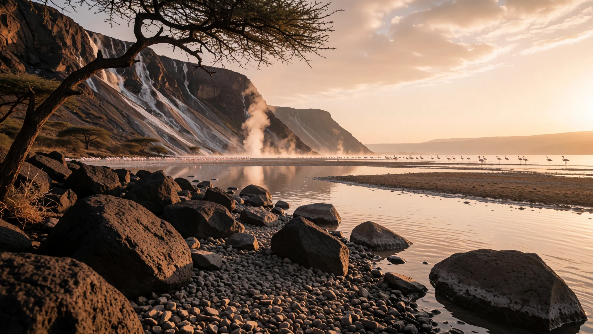
Lake Bogoria is a hot, mineral-rich Rift Valley lake where steaming springs, dramatic cliffs and, at times, huge flocks of flamingos make a quiet detour from the safari circuit.
The place
Lake Bogoria lies in Baringo County, in Kenya's Gregorian Rift Valley, a little north of the equator. It sits roughly 240 km north of Nairobi and 120 km north of Nakuru, in a long basin shaped by volcanic activity. At about 990 m above sea level, the lake is saline and alkaline, and its water is lined with mineral deposits. The lake is divided into three lobes: a large central basin and two smaller ones at the northern and southern ends, separated by shallow ridges that were formed by faulting. The water level rises and falls with the seasons, so the shoreline changes shape from year to year. The landscape is dramatic. Steep escarpments and cliffs rise above the water, and hot springs and geysers bubble along the margins, sending up plumes of steam that are visible from a distance. When conditions suit them, large numbers of lesser flamingos gather on the shallows, and the lake is a Ramsar wetland site. Most of the surrounding land is protected as Lake Bogoria National Reserve. The area draws around 200,000 visitors a year, mainly for the wildlife, the springs, the scenery and the local communities. Accommodation is concentrated near Loboi village at the northern end, while camping is permitted at the southern end. Expect heat, dust and very few trees along the shore.
Its story
The lake was once called Lake Hannington, after James Hannington, an Anglican missionary who passed through the region in 1885. The older name is still found in some older maps and writing, though Lake Bogoria is the name used today. Geologically, the lake belongs to a much wider story. Long ago it was part of a larger freshwater body that was joined to what is now Lake Baringo. As the rift valley floor shifted and the climate changed, the water separated and became more concentrated, which is why the lake today is saline and alkaline rather than fresh. Evidence of earlier, higher water levels survives in the form of lake-shore terraces made of coarse, angular gravel. These mark shorelines from the Pleistocene and Holocene epochs, and they can still be seen above the present water line. Researchers who have studied the lake describe a level that rises and falls with the seasons and can shift by several metres over short periods during the twentieth century, so the terraces are a record of past changes. The lake's modern protection began in 1973, when the surrounding area was declared a National Reserve. That status helped to shape how the shoreline and its wildlife are managed today, and it sets the context for the visits that take place now.
What to see
- The Loburu delta — Western shore, Baringo County
The delta on the western shore is a place where streams and hot springs meet the shallow water. Its marshes and mineral-stained ground are a good place to see how the springs shape the land. Walk the edges carefully and stay on firm, dry ground, because the soft margins can be hot and treacherous.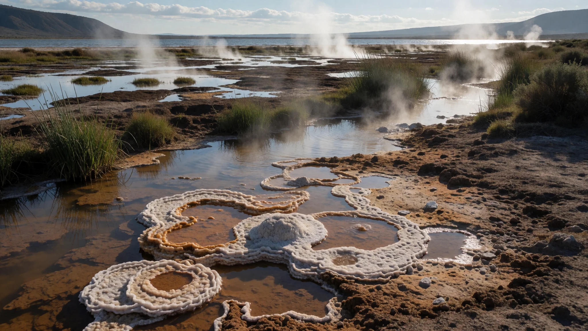
- The hot springs and geysers — Eastern shoreline, near the lake edge
Along the shore, hot springs and geysers release steam, and the water runs in channels fringed with mineral crust. The ground around them is often hot, and the water can scald, so keep to marked paths and never step onto the crust. Visit in the cooler morning, when the steam is most dramatic against the cliffs.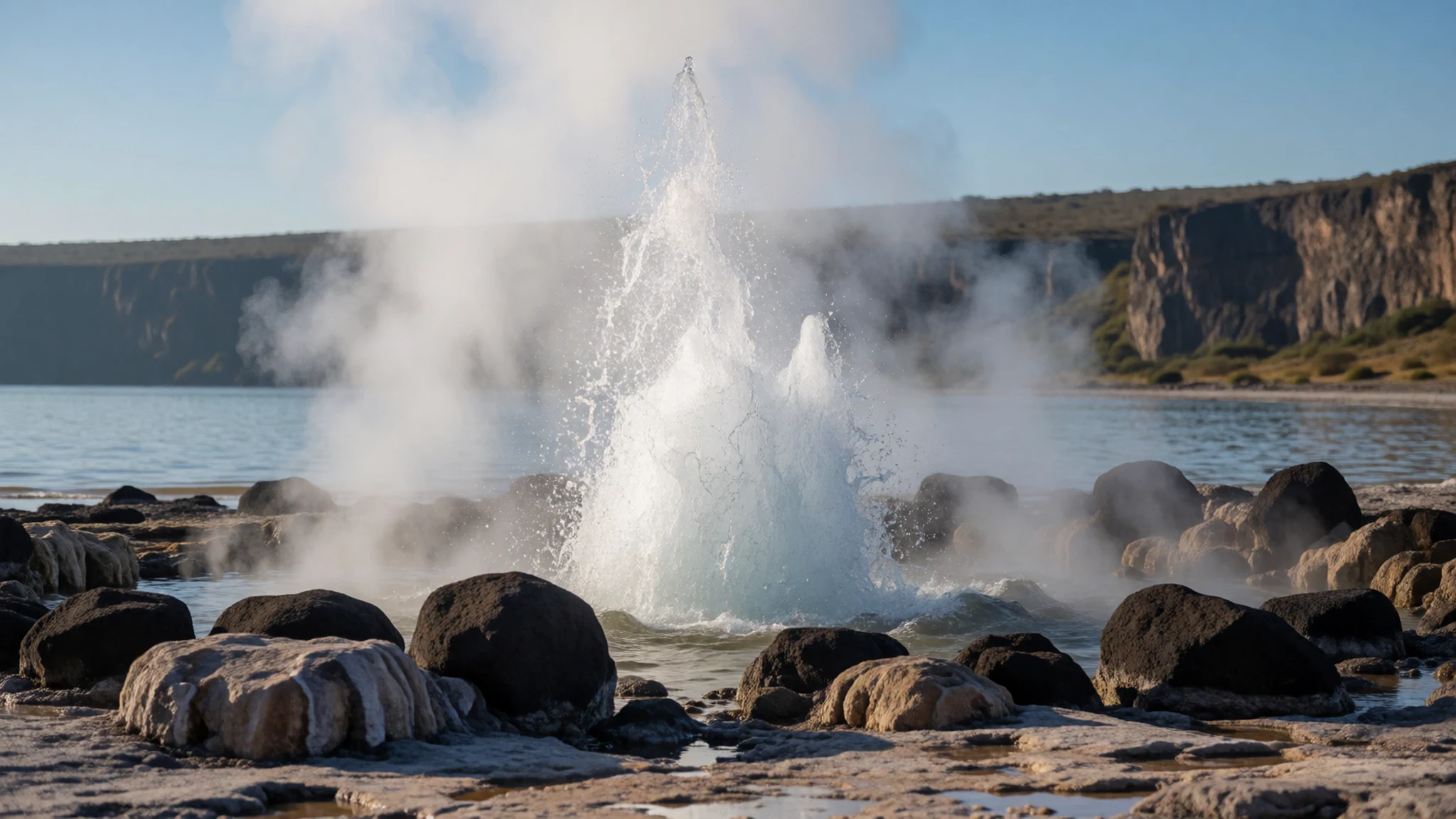
- The shoreline terraces — Lake margins, north and south
The ancient lake-shore terraces are visible above the present water line as bands of coarse, angular gravel. They are a clear record of how the lake has shrunk and risen over thousands of years. They are easy to reach on foot from the shore and make a short, rewarding walk for anyone interested in the landscape.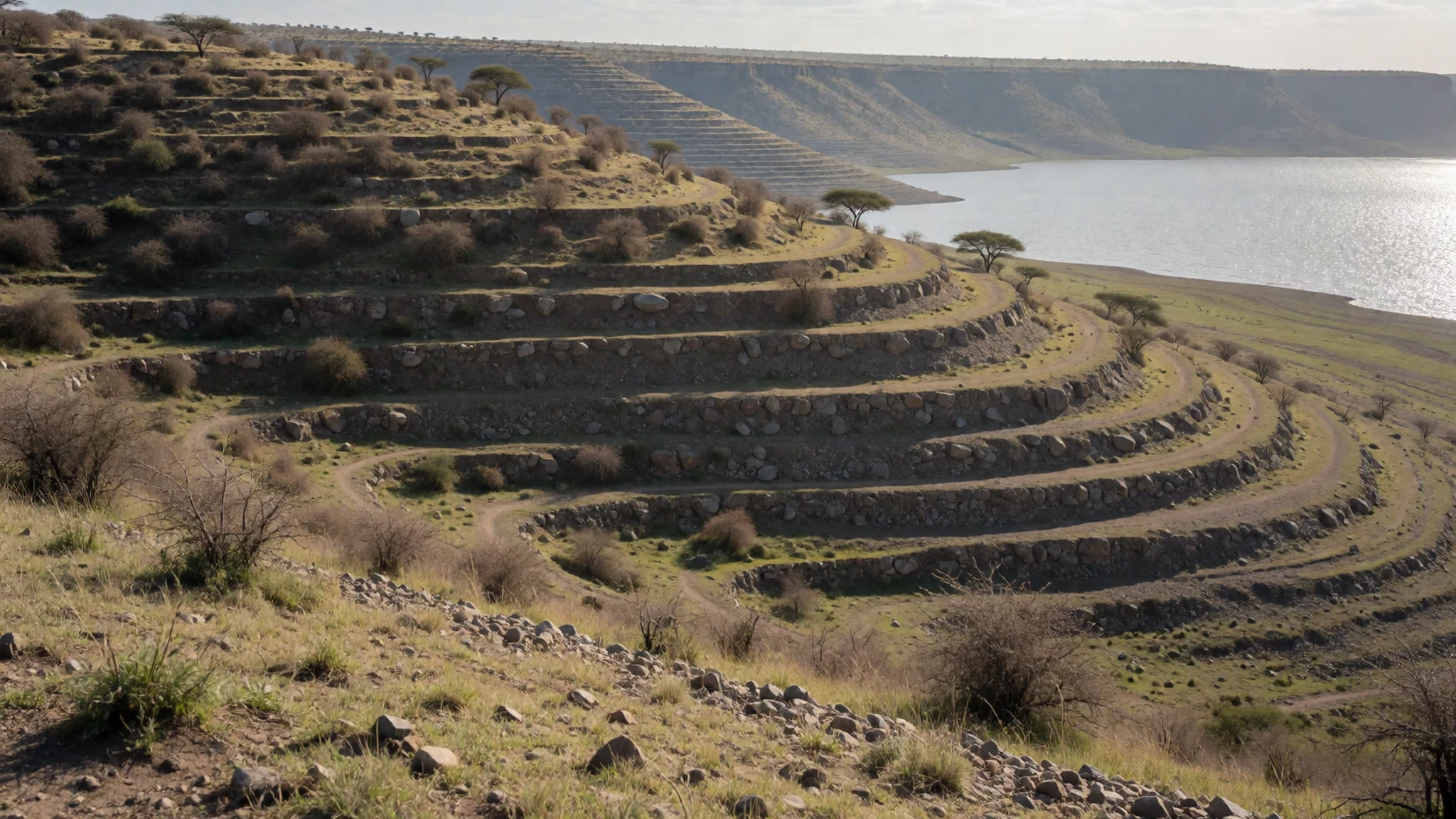
- The lesser flamingos — Shallows of the central basin
Lake Bogoria is one of several Rift Valley lakes that periodically host very large numbers of lesser flamingos, which feed on the algae that thrive in the alkaline water. Their numbers change from season to season, so it is worth asking locally or at the reserve gate before you plan a visit around them.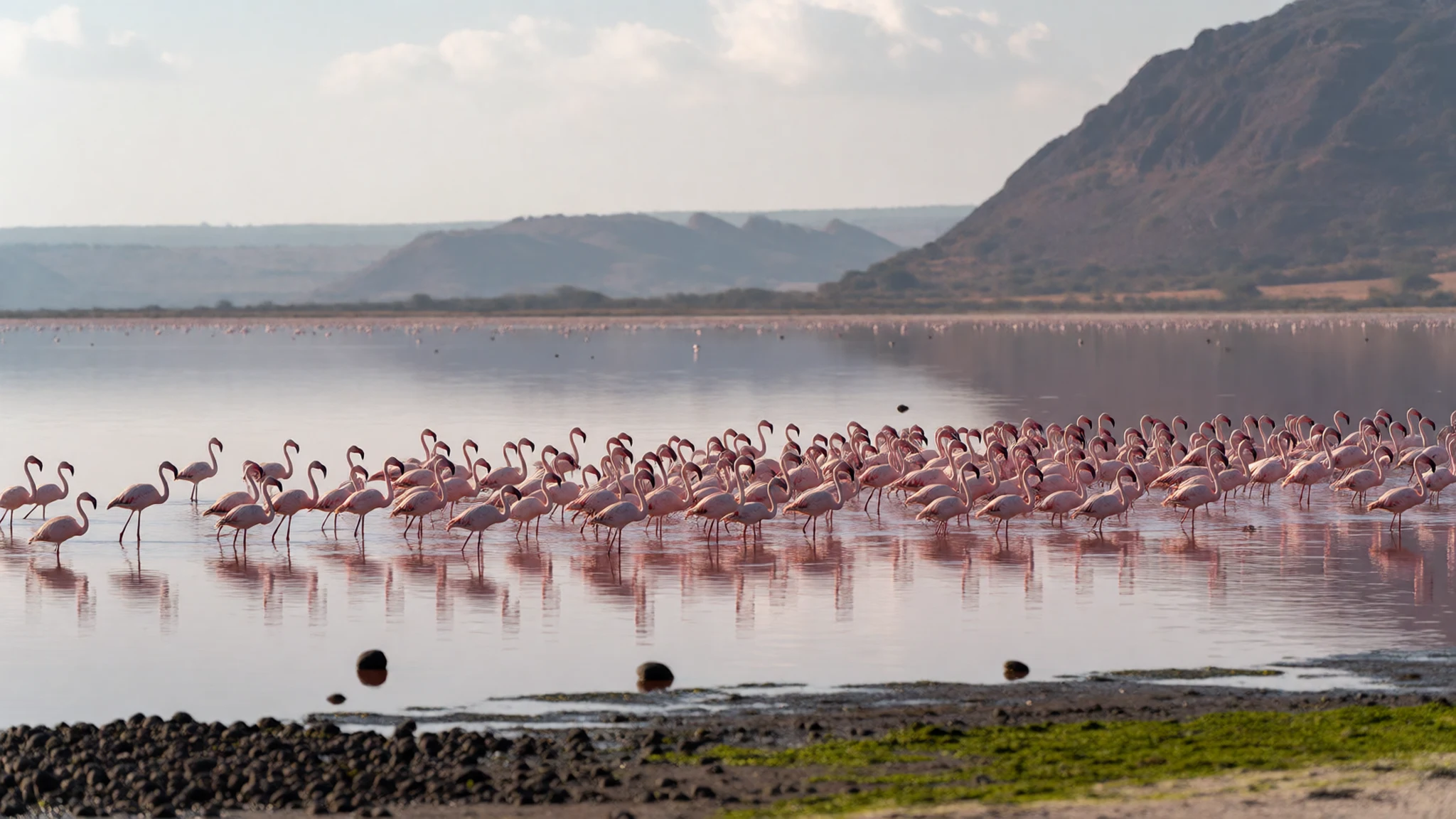
- The escarpments and the lake from above — Escarpment above the central basin
The steep escarpments that rise above the lake frame the whole view and give a sense of how the basin was formed. Viewpoints above the water offer the best overall picture of the three lobes and their connecting ridges. The climb is hot in the middle of the day, so start early and bring plenty of water.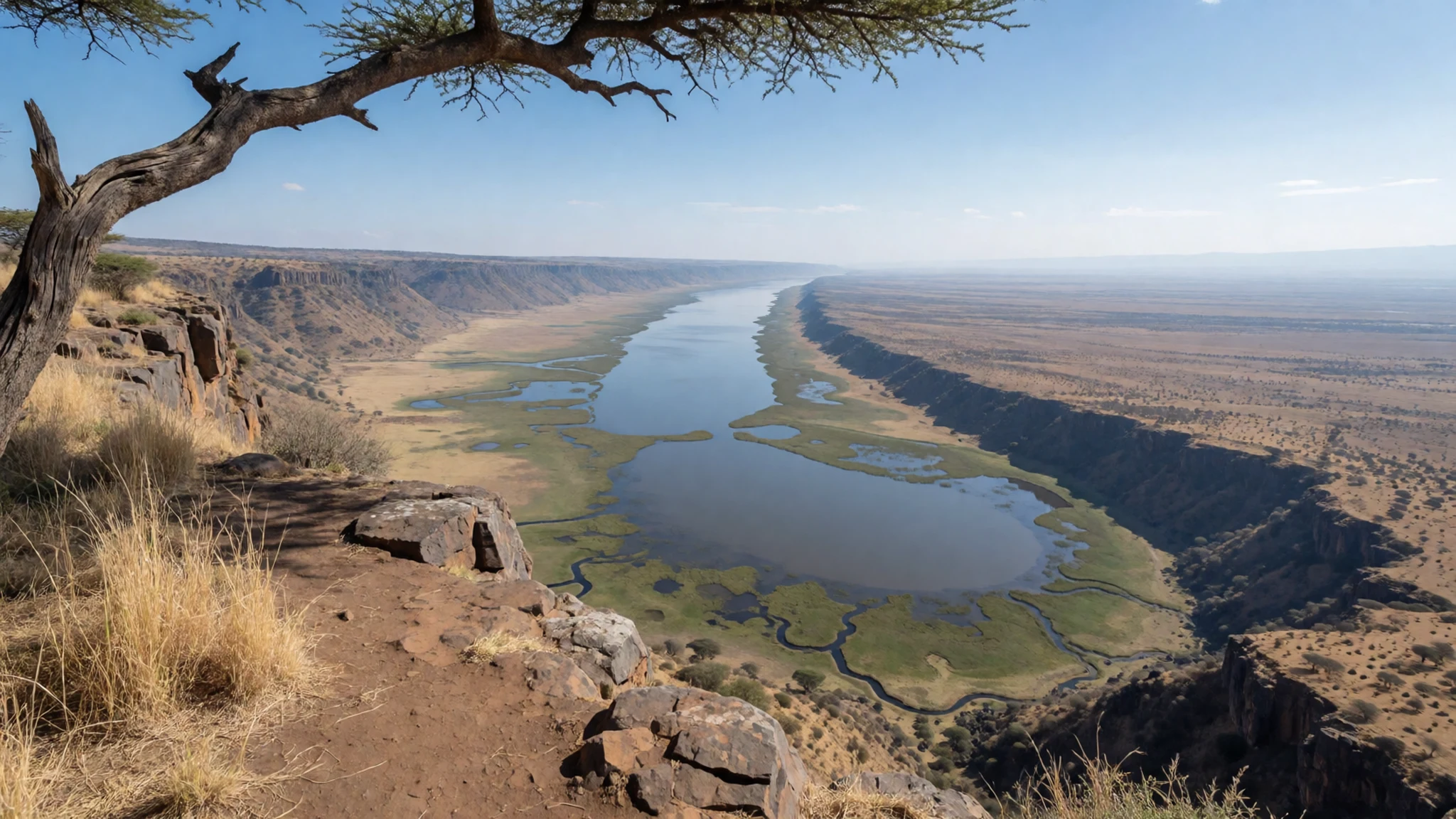
Culture
The lake lies in Baringo County, where pastoral communities have long lived along the Rift Valley, herding livestock and farming the land around the water. Their traditions shape everyday life, from the way families manage cattle and goats to the stories and songs passed between generations. Local beliefs and folklore remain part of the region's identity, and some of the most vivid ones are told through the heroines and characters who appear in regional oral tradition. Villages near the lake are small and close-knit, and most people you meet will be neighbours, traders or guides rather than performers. Hospitality matters. Greetings are important, and a few words in Kiswahili or the local language are warmly received. When you visit a village or a homestead, ask before you take anyone's photograph, and offer a small payment or thanks if someone agrees. Please also keep to marked paths near the hot springs and do not climb onto the mineral crust, which can be hot and fragile. Always ask before photographing people, especially women and children, and take your cue from them if they decline.
What to wear
Traditional dress in the Baringo region has historically been practical and closely tied to pastoral life. Communities in the area have worn cloth wraps, leather pieces and beadwork, with bright colours and intricate patterns often reflecting age, marital status and community identity. Beadwork in particular is an important textile tradition, made by hand and worn in layers on the neck, arms and wrists. Today many people wear everyday clothing such as cotton shirts, trousers, dresses and simple skirts, with traditional beadwork or wraps kept for ceremonies, markets and festivals. Villages near the lake mix modern and traditional styles, so you will see both in a single day. For visitors, the climate is hot and dry for much of the year, with strong sun, dust and very little shade along the shore. Light, loose cotton or linen in neutral colours, long trousers or a long skirt, and a wide-brimmed hat are sensible choices. Cover your shoulders when entering villages or homesteads, and bring a scarf for dust. Wear closed shoes with good grip for the ground near the springs, which can be uneven and hot.
What to eat
- Nyama choma — Roadside grills in the towns near the lake, such as Marigat
Goat or beef cut into chunks and grilled over charcoal, usually salted and served with kachumbari, a fresh tomato and onion salad, and ugali. Look for the smoky roadside grills in the towns near the lake, especially around Marigat, where meat is sold by weight and eaten at simple tables.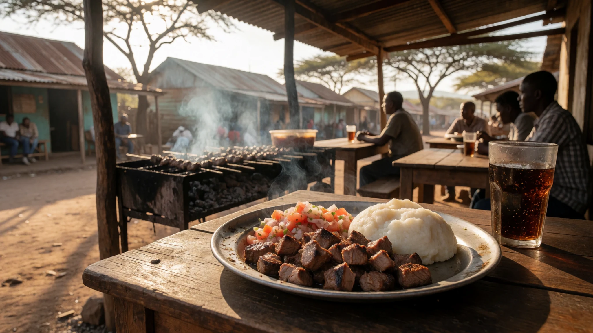
- Ugali with sukuma wiki — Village canteens near Loboi
Ugali is a firm porridge made from maize flour, shaped by hand into balls, and sukuma wiki is collard greens sautéed with onion and tomato. You will find both at the simple family-run canteens in village centres near Loboi, where lunch is often served from pots set out at midday.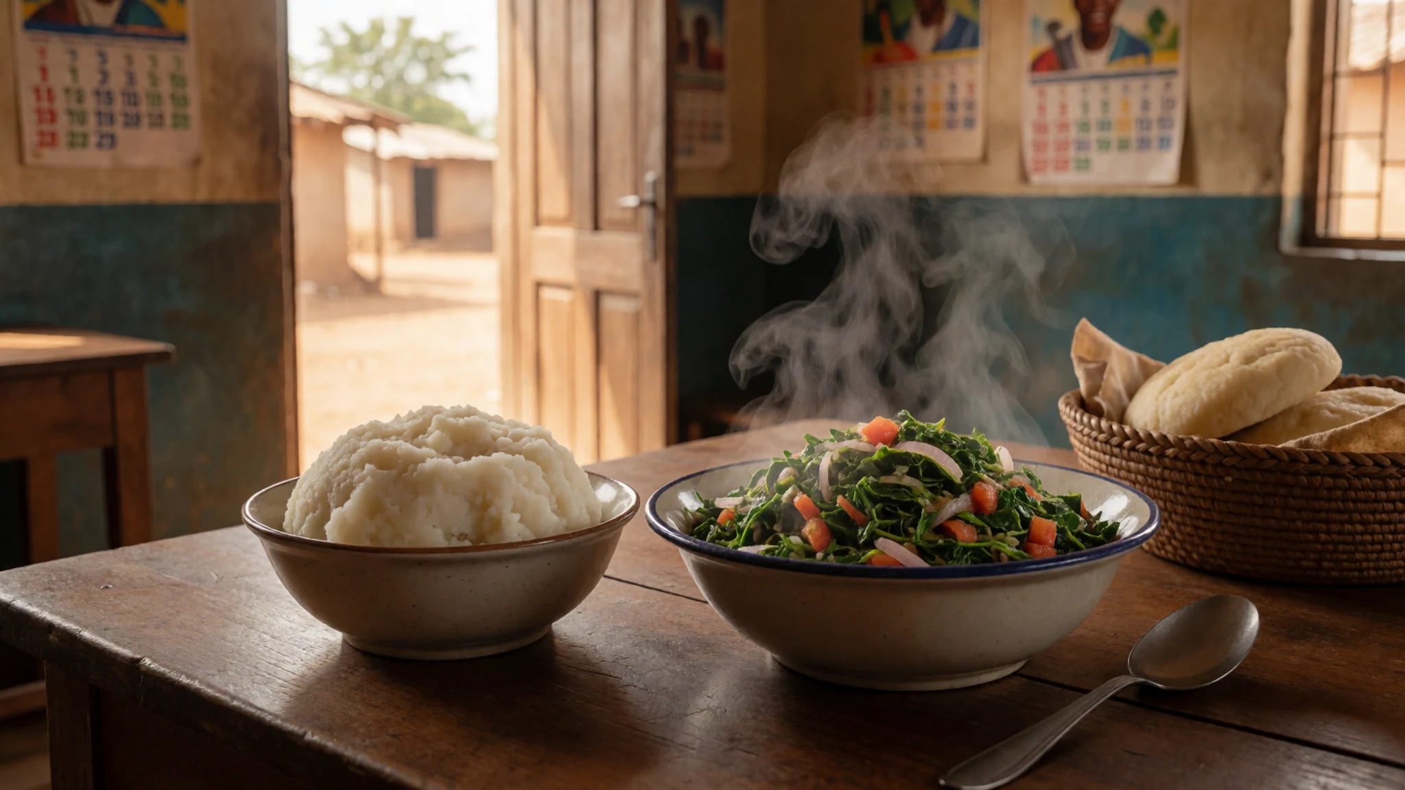
- Chapati — Roadside kitchens and town market stalls
Chapati is a soft, layered flatbread cooked on a griddle, folded and often served with beef stew or beans. Ask for it hot from the pan at a roadside kitchen or a market stall, where it is usually cooked to order and sold in small stacks. - Mandazi — Morning tea stalls and bakeries in nearby villages
Mandazi are lightly sweet, fried dough triangles, eaten with tea at breakfast or as a mid-morning snack. Morning tea stalls and small bakeries in the nearby villages sell them from trays, usually in batches, so go early before they sell out. - Chai — Roadside tea stalls and village shops along the main road
Chai is milky tea brewed strong, sweetened and often spiced with ginger or cardamom. Roadside tea stalls and the simple shops along the main road are the easiest places to sit down, rest in the shade and talk with the people around you.
Plan it
Best time. The area is hot and dry for much of the year. The driest months, from roughly December to February, are generally the most comfortable for walking and driving, though February is also the hottest month. The rains fall mostly from April to November, peaking in April. Flamingo numbers vary with the season and the water level.
How long. 2–3
Getting there. Fly into Nairobi, then drive north roughly 240 km, passing Nakuru on the way. The final stretch to the lake is on rougher roads, so a hired vehicle with a driver who knows the route is the most practical choice.
Budget. low
Tips
- Go early in the morning, when the steam from the springs is most visible and the day is cooler.
- Hire a driver or guide for the last section of road, since signage is limited and the surface can be rough.
- Carry cash in Kenyan shillings for park entry, guides and roadside food, and check current fees with the Kenya Wildlife Service before you travel.
- Bring water, a hat and sun cream, because there is very little shade on the shore.
- Book lodging near Loboi or a camping spot at the southern end ahead of busy periods, since the area receives around 200,000 visitors a year.
Etiquette
- Keep to marked paths near the hot springs and do not step onto the mineral crust.
- Ask before photographing people, particularly in villages and at homesteads.
- Leave the reserve as you found it, and take all litter with you.
Nearby
Sources
- Wikidata Q890651 (CC0)
- Wikipedia: Lake Bogoria (rev 1366161641) (CC BY-SA 4.0)
- Photo: Lake Bogoria, Martin Trauth (CC BY 3.0)
- Photo: Gyser in Bogoria lake, Franco Pecchio (CC BY 2.5)
- Photo: Born of Fire, Steve Garvie (CC BY-SA 2.0)
- Photo: African Spurred Tortoise, Steve Garvie (CC BY-SA 2.0)
- Photo: Greater kudu, Kruger, Charles J. Sharp (CC BY-SA 4.0)
- Photo: Cheptaleel's Prayer, Eren Gatiat (CC BY-SA 4.0)
- Photo: Lake Bogoria 2011, Arthur Buliva (CC BY 3.0)
- Photo: Boat on Lake Bogoria, Victor Kibiwott (CC BY-SA 4.0)
- Wikivoyage (CC BY-SA 4.0)


